![]()
![]()
![]()

Trip 277 - May 29-31, 2023 (Monday-Wednesday)
Mamquam River Forest Service Road Visit
Near Squamish BC
Page 2 of 2
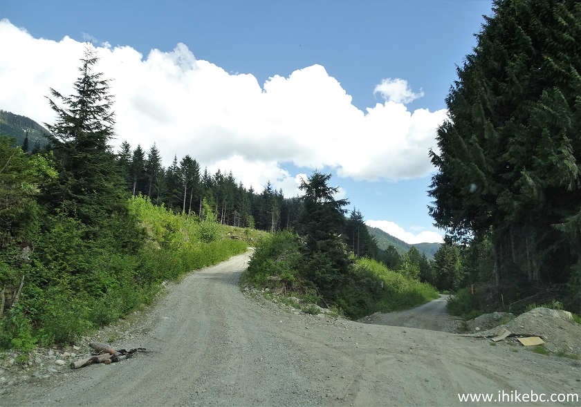
Of Note: Many potholes reduce realistic speed to 25-30 km/h at most, road surface is rough - good tires are essential, passing vehicles raise some dust, signs prohibit camping for the first 3 km or so of the FSR, a steep hill at 27.5 km would stop 2WD vehicles.
Vancouver, Coast & Mountains Backroad Mapbook (2019 edition) Mamquam River FSR Start Coordinates: Page 22 (Squamish) C7.
Other Forest Service Roads Trips: Chehalis (by Harrison Mills), Chilliwack Bench, Chilliwack Foley, Chilliwack Lake, Chuchinka-Colbourne (North of Prince George), Clear Creek (off Harrison East), Florence Lake (access to Stave Lake by Mission), Harrison East, Harrison East Second Trip, Harrison West, Jones Lake (by Hope), Lost Creek (by Mission), Nahatlatch (by Boston Bar), Parsnip West (near Mackenzie), Scuzzy (by Boston Bar), Shovel Creek (off Harrison East), Sowaqua Creek (by Hope), Squamish River Main, Squamish River Ashlu, Squamish River E-Main, Squamish River FSR Washout, Windfall Creek (by Tumbler Ridge).
Follow @ihikebc Tweet
Mamquam River Forest Service Road is located near Squamish, and is a fine place to camp, whether you are driving by (it starts right off Highway 99), or plan to stick around for a bit and check out a whole lot of activities Squamish has to offer. There are dozens of pullouts along Mamquam River FSR, big enough to fit even a small Class C RV. This road has numerous potholes and a rather rough surface, so good tires are essential, especially if you would like to drive deep into the wilderness. There are many side roads to explore, and it appears to be a popular snowmobile destination in the winter. We managed to drive in our medium clearance 2WD vehicle to the 27.5 km mark on the odometer (official markers are off by a few hundred meters). At that point, there was a split where branch E-100 continued for at least 2.5km (we did not go past a sign prohibiting entry without permission due to a worksite), and Mamquam River FSR at that same split veered to the left, where a steep hill with loose surface stopped us in our tracks. So, we hiked for another 4.2 km to the apparent trailhead for Mt. Gillespie and Seed Peak, but there was way too much snow to hike any further.
While Mamquam River Forest Service Road does run by Mamquam River for a bit, there are not too many camping spots near the river, though there is one very well-made unofficial campsite at the 16.8 km marker. Further, there is an official campsite with a picnic table and even a pit toilet at the 14.3 km mark of the FSR, where one can launch a kayak and head downstream. Finally, there are numerous side roads which we have not explored, but which appeared rough and steep enough to require a capable 4x4 or an ATV.
*All Mamquam River FSR distances are based on a vehicle odometer until the 27.5 km mark, then on a GPS odometer, which is approximate. Markers along the road are usually off by 200-400 meters or more.
35. At 16.8 km, there is access to a fine "wild" camping spot right by Mamquam River, the only one of a kind, nicely done by some volunteers (or frequent spot campers). Coordinates: N 49⁰42.924' W 122⁰57.196'. Elevation: 595 meters.
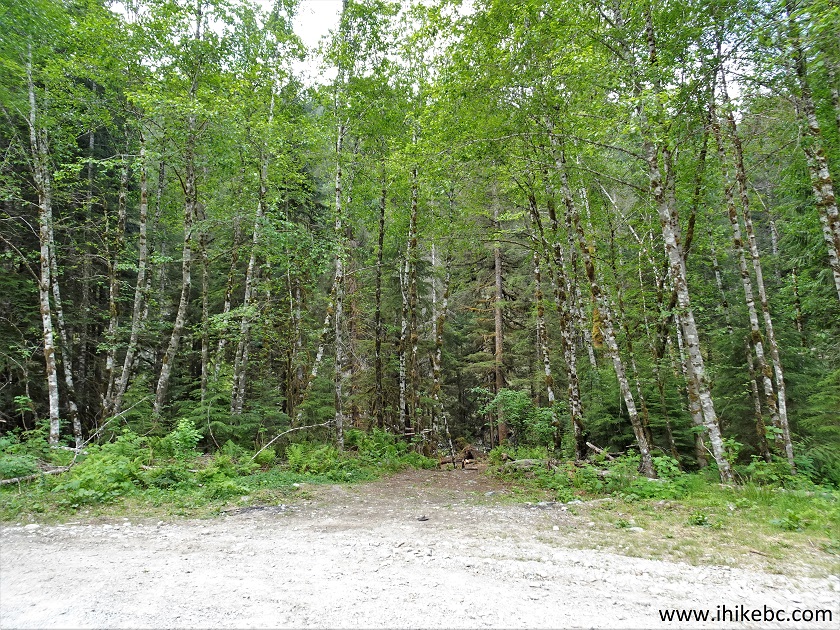
Mamquam River FSR camping spot entrance
36. Just go into the trees for a few meters. You can try to drive in, if you have a decent enough clearance, as it gets complicated.
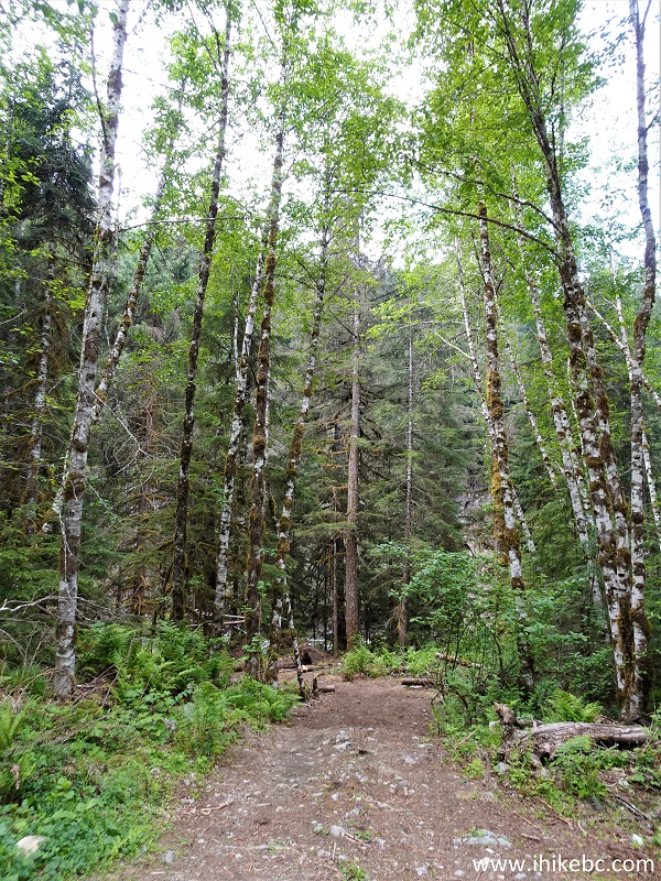
Path to a camping spot by Mamquam River
37. Well, look at that. Who would have thought.
Mamquam River Camping near Squamish BC Canada
38. Very nice.
Mamquam River FSR Camping
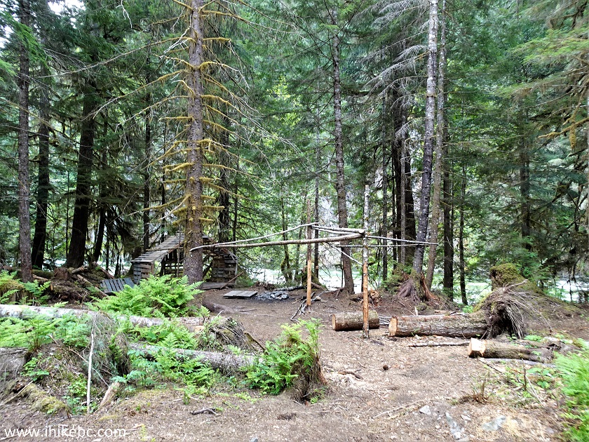
39. Thank you, whoever did all this.
Camping by Mamquam River
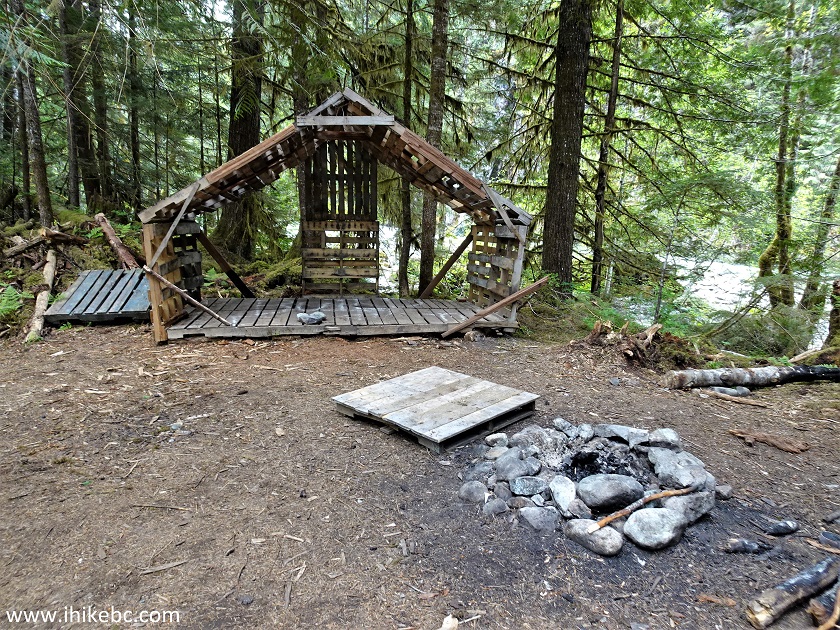
40. The gazebo.
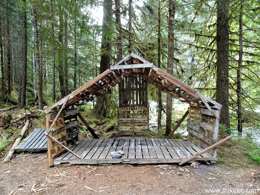
Gazebo at the camping spot by Mamquam River
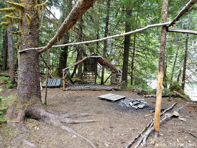
41. Get this - they even lined the short path to Mamquam River with stones. What a nice touch.
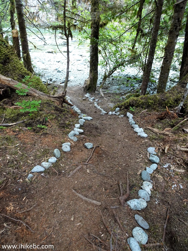
Path to Mamquam River off Mamquam River FSR
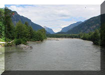
42-44. Mamquam River by the camping spot. Left to Right.
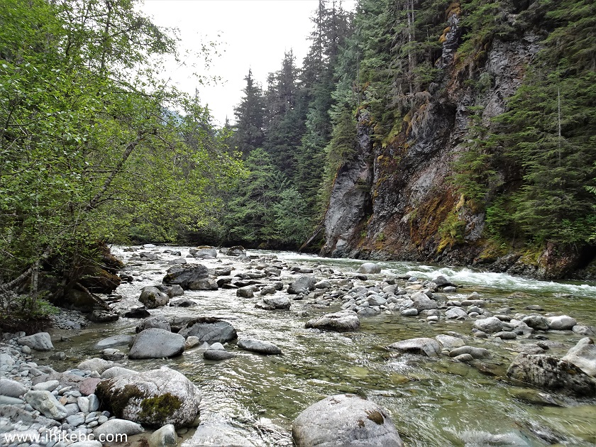
Mamquam River
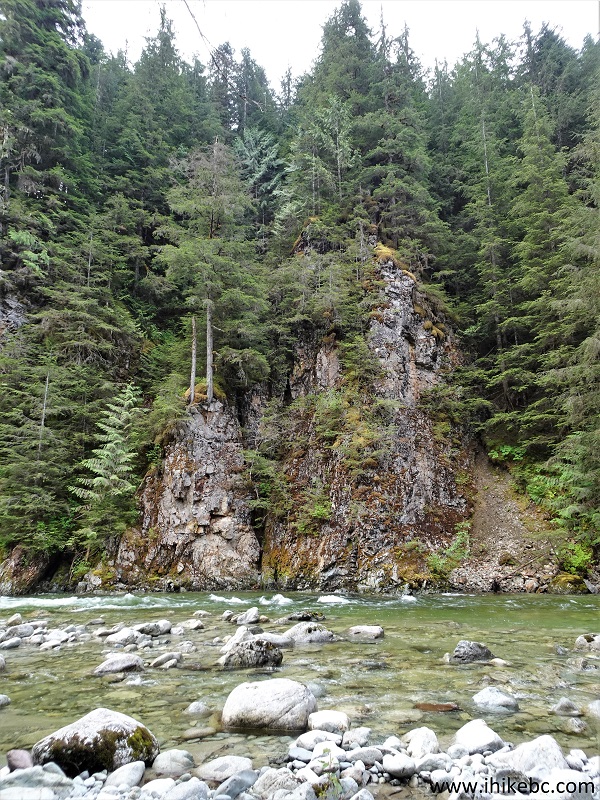
Mamquam River by Squamish BC
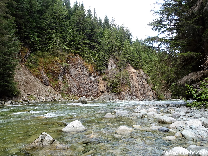
Mamquam River British Columbia Canada
Here is our video of Mamquam River and this camping spot:
More ihikebc videos are on our YouTube Channel.
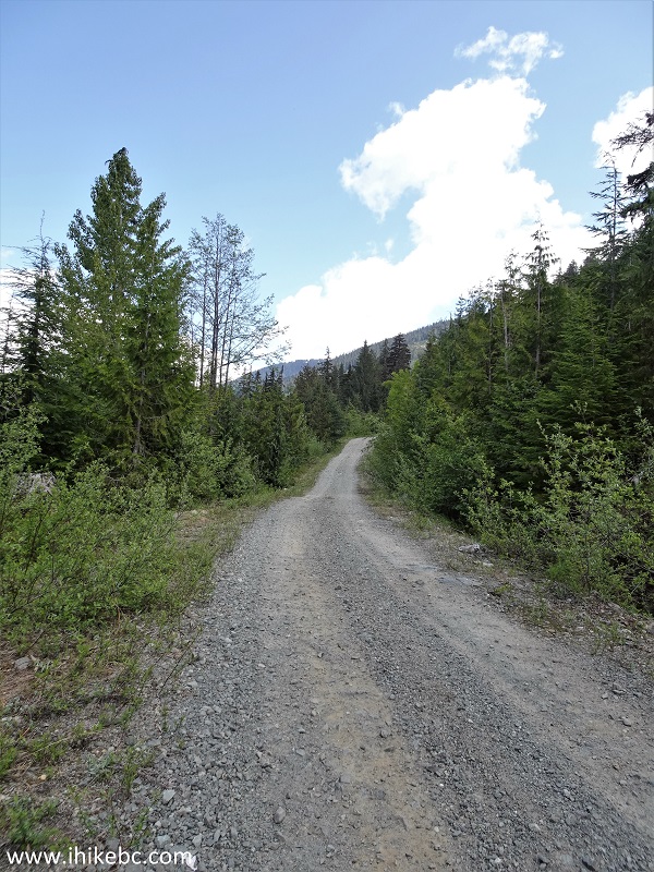
45. Continuing on Mamquam River FSR, here it is at the 18.2 km mark.
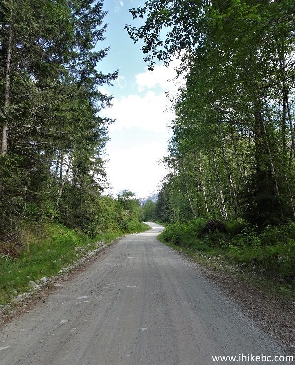
Mamquam River Forest Service Road
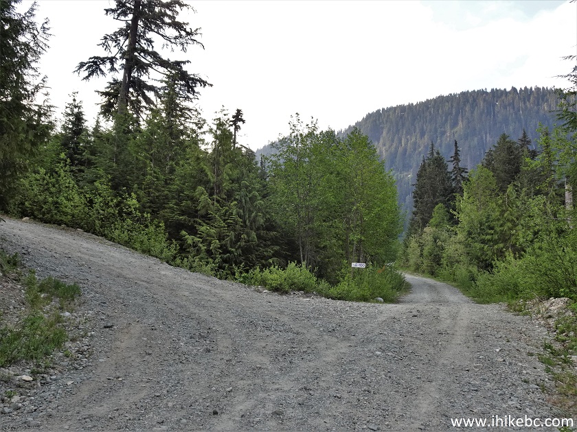
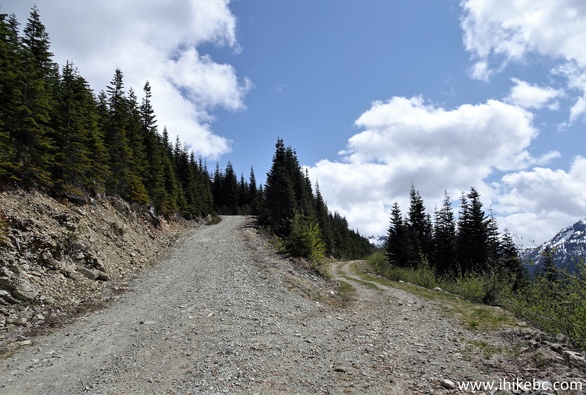
46. Another major split arrives at 20.6 km. "Branch 5" is to the left, and Mamquam River Forest Service Road continues on the right side.
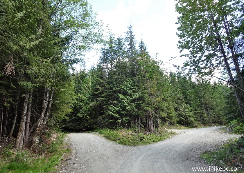
Mamquam River FSR near Squamish British Columbia
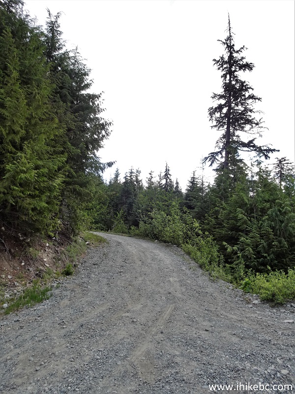
47. A smaller split comes 22.3 km from Highway 99 - stay left.
Mamquam River FSR
48. At 27.4 km, Mamquam FSR makes a sharp left turn, where a steep hill with loose surface would stop all 2WD vehicles. And it's unfortunate, as quite a 2WD-friendly road resumes about 100 meters later, but, alas, you would need to leave your 2WD drive behind and hike (bike, etc) forward. 2024 UPDATE: The hill has been fixed and is now packed gravel! We easily made it through en route to Seed Peak Trail. Coordinates: N 49⁰38.664' W 122⁰54.560'. Elevation: 725 meters. Going straight is an E-100 branch, which we took for about 2.6 km, where a sign prohibited entry without permission due to a worksite.
Mamquam River FSR Split with E-100 Branch
49. So, we turned left and started hiking. Here is that steep (formerly) loose hill at 27.4 km of Mamquam River FSR. It is steeper than it looks.
Mamquam River FSR Steep Hill
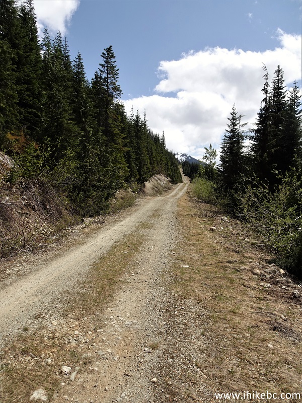
50. Mamquam River FSR 230 meters after the last split.
Mamquam River FSR by Squamish British Columbia Canada
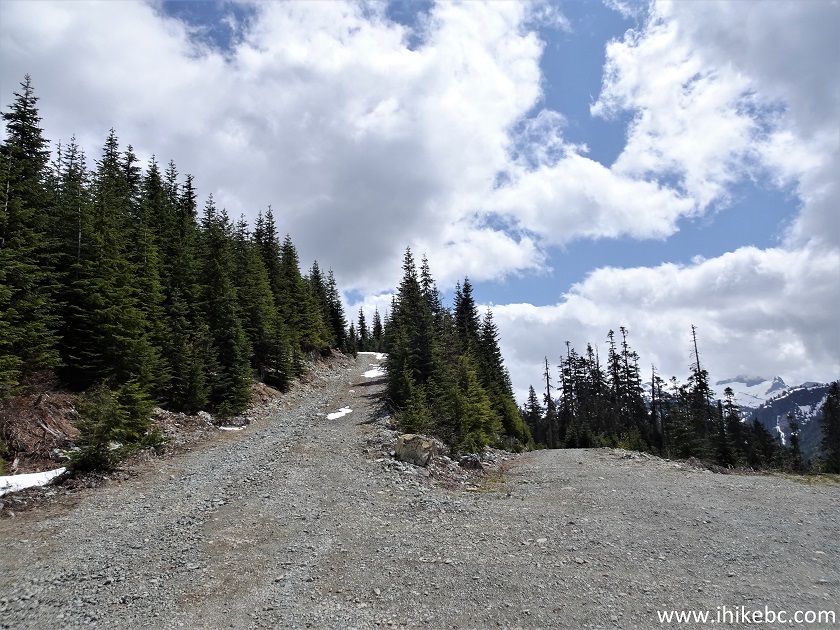
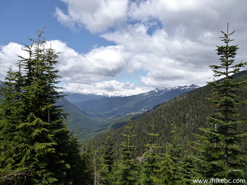
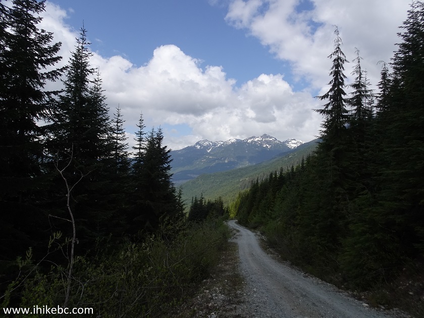
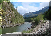
51. A decent view 1.20 km from the split with E-100 branch.
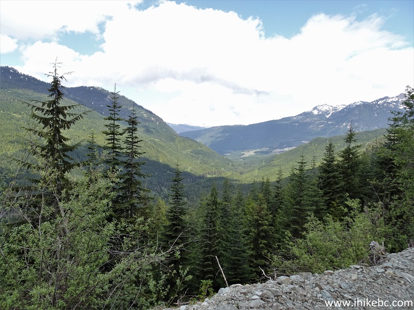
View from Mamquam River FSR
52. At 2.7 km from the E-100 split (30.1 km from the start of Mamquam River FSR) there is yet another split. Coordinates: N 49⁰38.486' W 122⁰53.488'. Elevation: 1,100 meters. Stay left, if you are interested in reaching trailheads for Mt. Gillespie and Seed Peak.
Mamquam River FSR
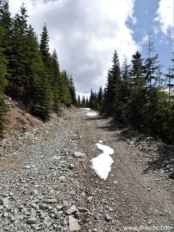
53. The road past the latest split. Still in decent shape.
Mamquam River Forest Service Road British Columbia
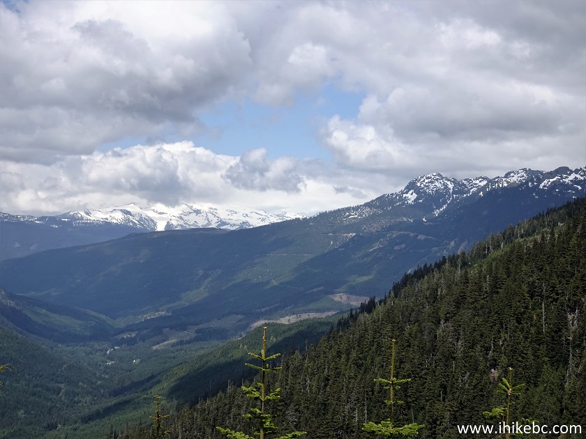
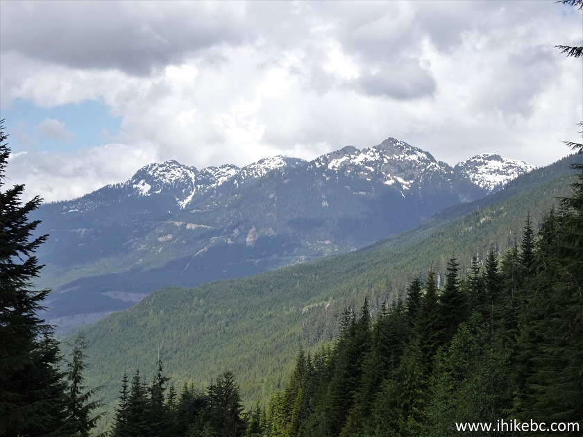
54. Another good view.
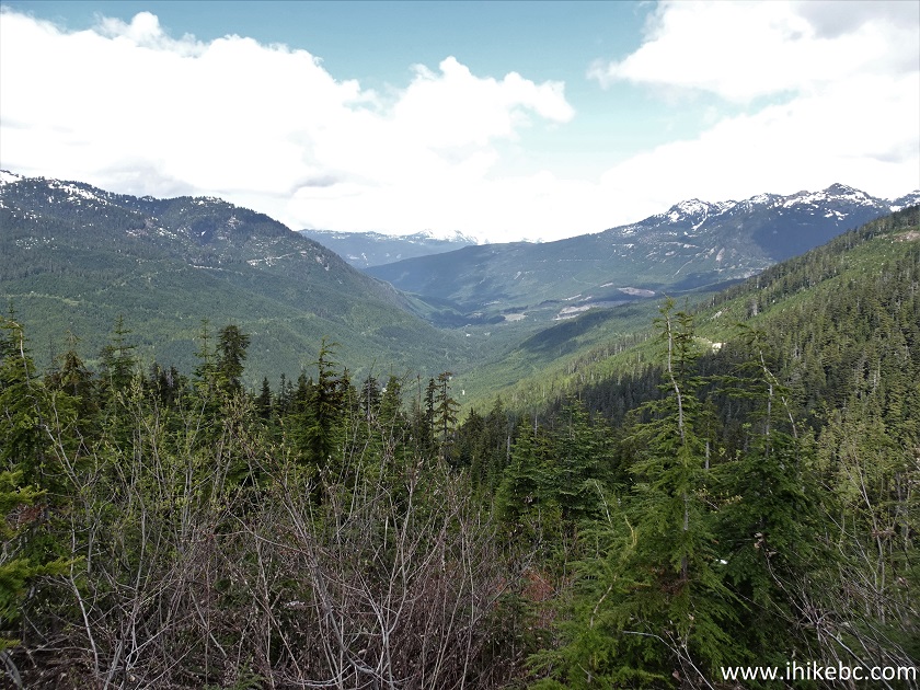
View from Mamquam River Forest Service Road
55. Here comes the snow - 3.31 km from the split with E-100 (30.81 km from the beginning of Mamquam River FSR).
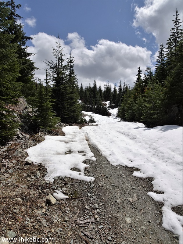
Mamquam River FSR Snow
56. Lots and lots of snow.
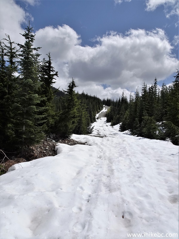
Snow on Mamquam River Forest Service Road
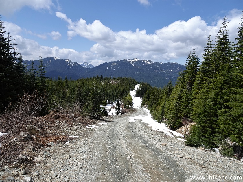
57. At 4.4 km mark from E-100 split (1.7 km from the previous split, and 31.8 km from the start of Mamquam River FSR) the snow briefly disappeared for yet one more split. Coordinates: N 49⁰38.551' W 122⁰52.975'. Elevation: 1,235 meters. Again, stay left.
Mamquam River FSR Province of British Columbia Canada
58. Just a bit further...
Mamquam River Forest Service Road
59. And this is where we stopped, 250 meters from the last split (4.65 km from E-100 split, and 32.05 km from the start of Mamquam River Forest Service Road). Coordinates: N 49⁰38.517' W 122⁰53.777'. Elevation: 1,285 meters. Way too much snow. Interestingly, exactly at this spot is the beginning of Mt. Gillespie and Seed Peak trailheads, according to a trail ribbon in our Backroad Mapbook software-equipped GPS. These two trails start together, and then go their separate ways.
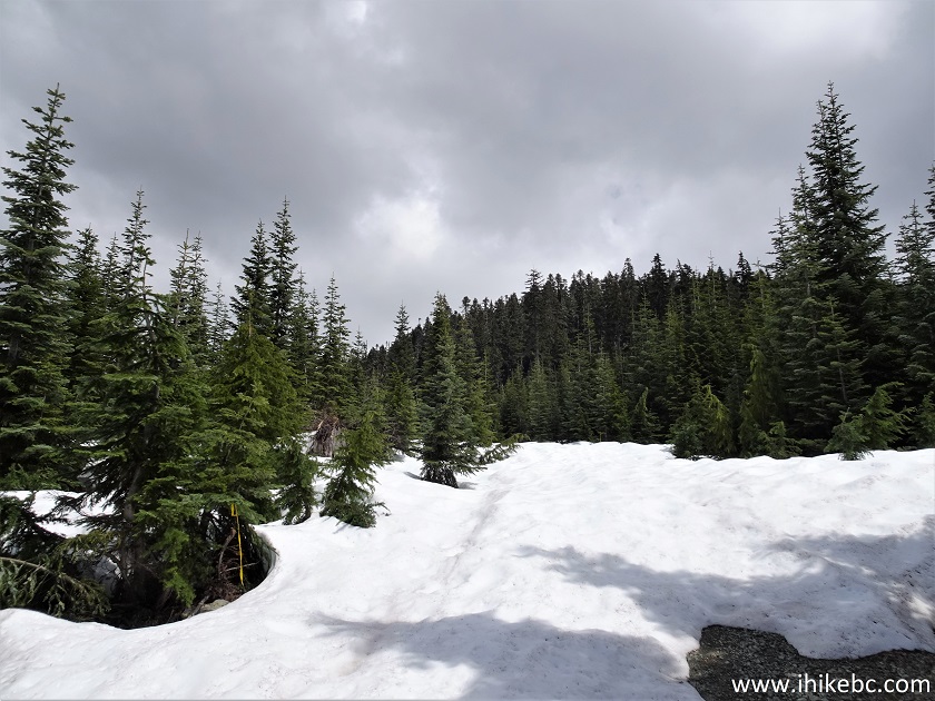
Mamquam River FSR deep snow
60-64. Got some fine views on the way back to E-100 split too, both plain and zoomed.
65. Finally, the words to live by, posted along Mamquam River FSR.
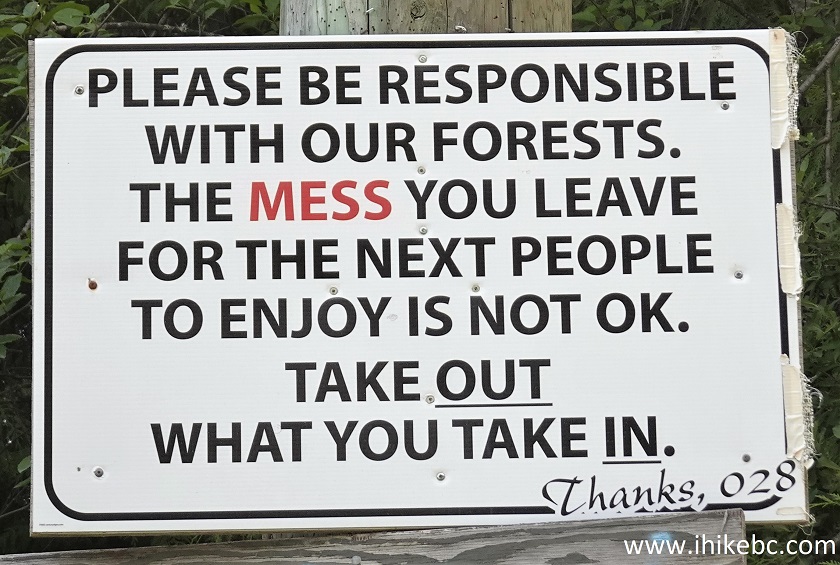
Remove your garbage poster
Mamquam River Forest Service Road is good for camping, hiking, and exploring. Highly recommended.


|
 |
Other Trips in Squamish Area:
|
|
|
|
|
|
|
|
|
|
|
|
|
|
|
|
|
|
|
|
|
|
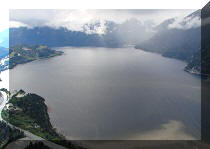
Panorama Ridge Trail
|
|
|
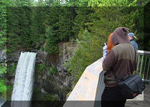
Seed Peak Trail
|


Other Trips:


![]()
![]()
![]()
Follow @ihikebc Tweet
ihikebc.com Trip 277 - Mamquam River FSR Visit (near Squamish BC) Page 2 of 2