![]()
![]()
![]()

Trip 143 - August 16, 2018 (Thursday)
Visit to the Town of Smithers
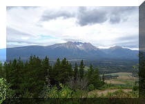
On Highway 16 in British Columbia, Canada
Location: On BC Highway 16, 370 kilometers
West of Prince George and 350 kilometers East of
Prince Rupert.
Liked: A relaxed small town feel, many useful stores and services, picturesque surroundings, lots of green spaces, Bulkley River view, Perimeter Trail.
Of Note: A fairly busy rail line runs along the South side of Smithers.
Northern BC Backroad Mapbook (3rd edition) Smithers Coordinates: Page 36 (Smithers) A5-A6.
Related Websites: Tourism Smithers, Wiki - Smithers BC.
Other BC Cities, Towns and Locations We Have Visited: Agassiz, Bella Coola, Bralorne, Chilliwack, Fort Nelson, Gibsons, Gold Bridge, Harrison Hot Springs, Hope, Horseshoe Bay, Merritt, Mission, Nanaimo
(Old City Square), Port Alberni, Prince George, Prince Rupert, Squamish, Telkwa, Tofino, Tumbler Ridge, Vancouver (Seawall), Vancouver (Stanley Park), West Vancouver (Ambleside Park).Smithers is a town of approximately 5,400 residents, located on Highway 16 about 370 kilometers West of Prince George, between Hazelton (to the West) and Houston (to the East). We have stayed in Smithers for several days while hiking local trails. With mountains on both sides, and Bulkley River within its limits, Smithers is a neat small town, well-planned, with lots of green spaces, and mostly tourism- and service-oriented. There appears to be a small logging operation in Smithers, and a railway runs along the South side of town. Smithers features four car dealerships, several chain stores and service centres (Canadian Tire, Lordco, KalTire, OK Tire, Mark's, Sportcheck, Safeway, No Frills), a local wholesale store, and a whole lot of other small stores and eateries, which serve the locals, highway travellers, and outdoor enthusiasts who come to Smithers to enjoy numerous recreational opportunities in the surrounding area. If you are in need of a laundromat (which also has showers and a car wash), one is located on the North side of Highway 16, just West of A&W. There is also a shower located at the local pool, with almost half the price ($3.65 versus $6), but zero privacy (you get your own shower room at the laundromat, but are available for observation to everyone in the pool's change room, at least the men's side of it). We parked at a large lot just over a kilometer East of Smithers, and then biked to the other side of town. After that, we checked South Smithers, followed by North Smithers, and returned back. Our total distance traveled today was about 25 kilometers.
1. We are at a parking lot just East of Smithers, ready to head West. Coordinates for the parking lot: N 54⁰46.221' W 127⁰08.103'.
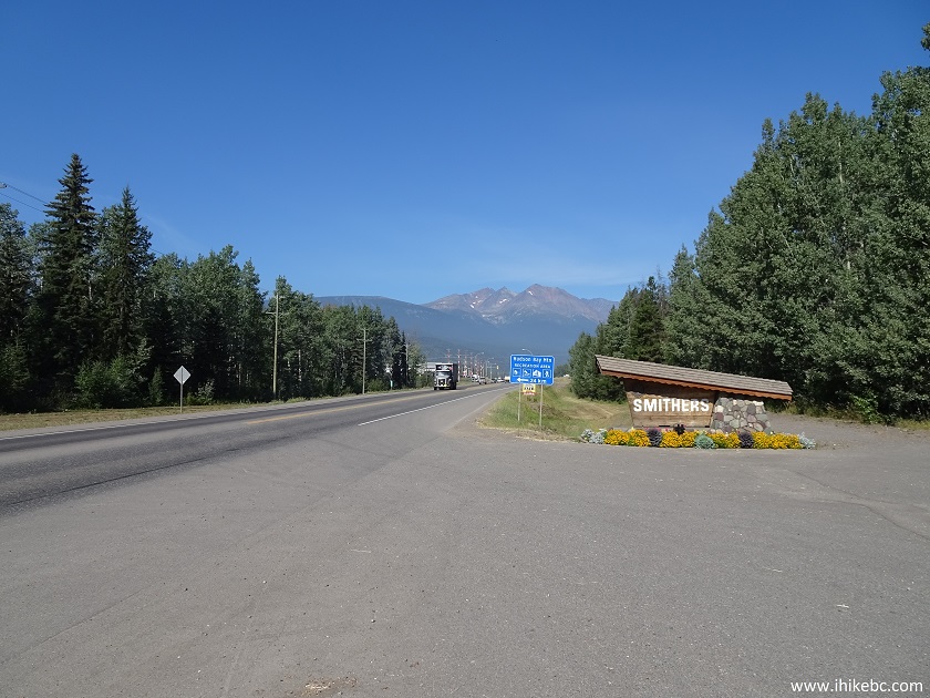
Parking lot near Smithers BC Canada
2. Here is a map of Smithers located at an information board at that large parking lot.
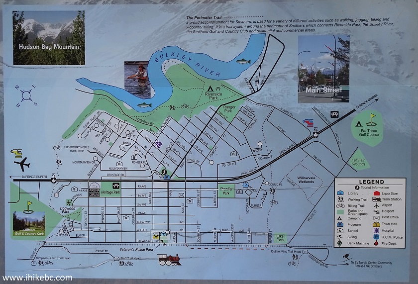
Smithers BC map
3. Welcome to Smithers.
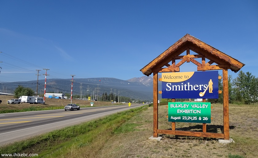
Welcome to Smithers Sign
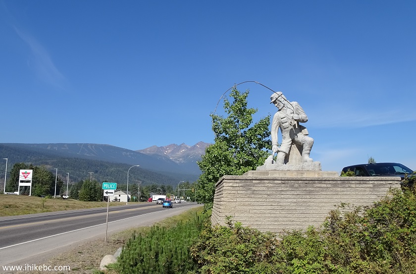
4. Soon after the sign, and 1.4 km after the parking lot, a uniquely Smithers thing - two statues (one on each side of the highway) greet arriving motorists. Two more statues are at the western entrance to Smithers.
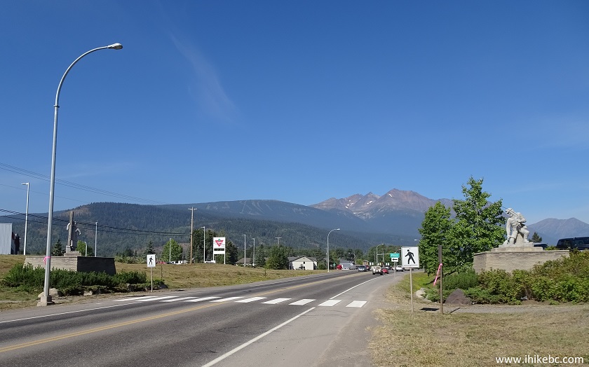
Statues by Highway 16 entrance to Smithers British Columbia - Westbound
5. The statue on the right is a fisherman.
Statue of a fisherman - Smithers BC Canada
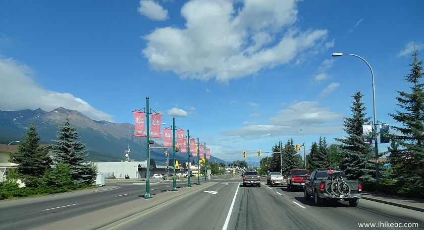
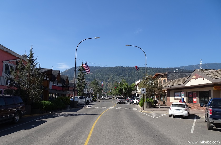
6. Highway 16 through Smithers is mostly a four lane road, with convenient turn lanes throughout.
Highway 16 Westbound in Smithers BC Canada
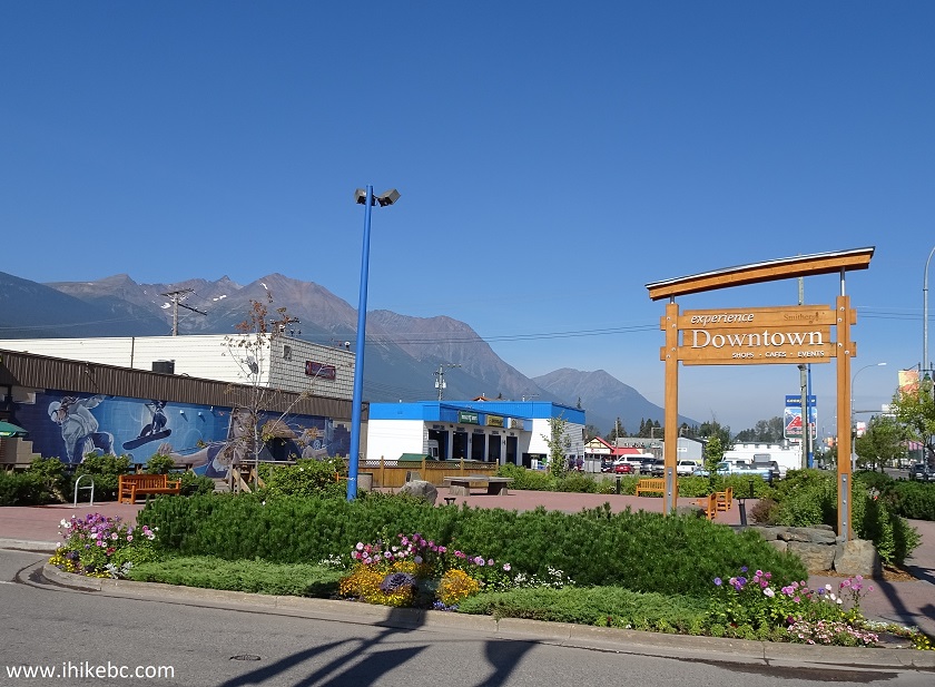
7. Main Street (South side of it) is the main tourist street, with many shops and eateries. Here we are at the corner of Highway 16 and Main Street, slightly less than three kilometers from the parking lot.
Main Street at Highway 16 in Smithers British Columbia
8. A closer look at the nearby wall art.
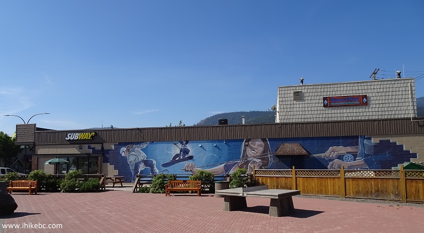
Wall Art on BC Highway 16 corner of Main Street in Smithers BC Canada
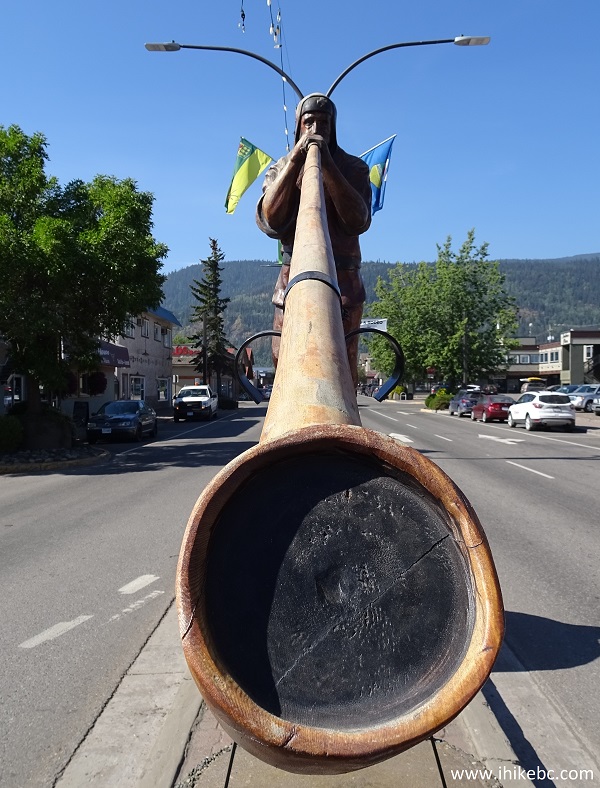
9. Alpenman is the symbol of Smithers, and he greets you at the beginning of (South) Main Street.
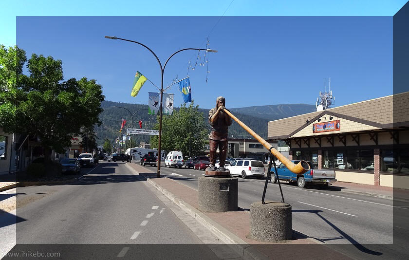
Alpenman - the symbol of Smithers British Columbia
10. Hi!
Alpenman on Main Street in Smithers British Columbia
11. Lots of free parking on Main Street.
Main Street Smithers BC Canada
12. As well as this clock, on the corner of Second Avenue.
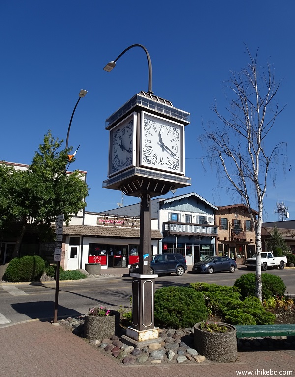
Clock on the corner of Main Street and Second Avenue - Smithers British
Columbia
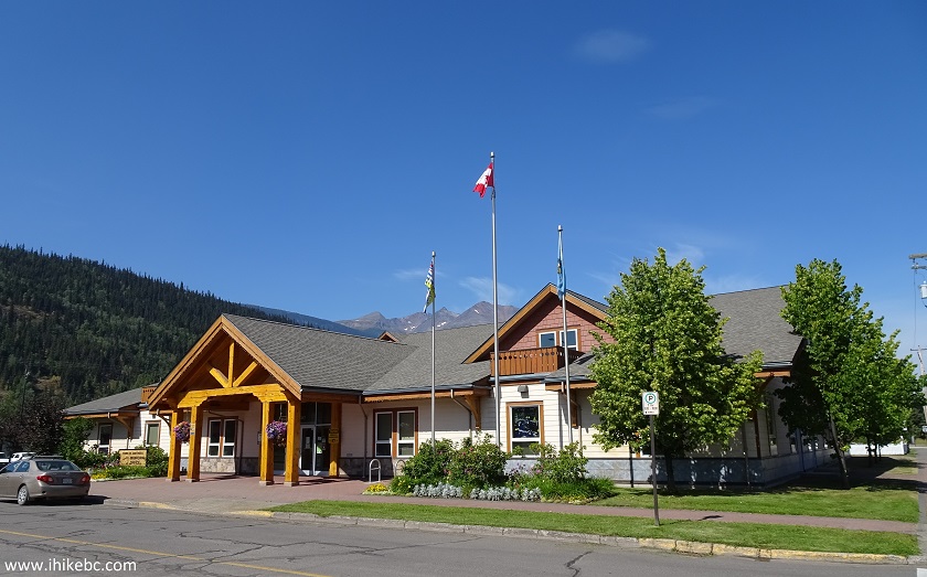
13. Further down Highway 16, there is Smithers Info Centre. A sani-station is located nearby.
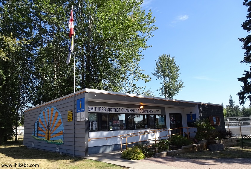
Smithers Chamber of Commerce and Visitor Centre - Smithers BC Canada
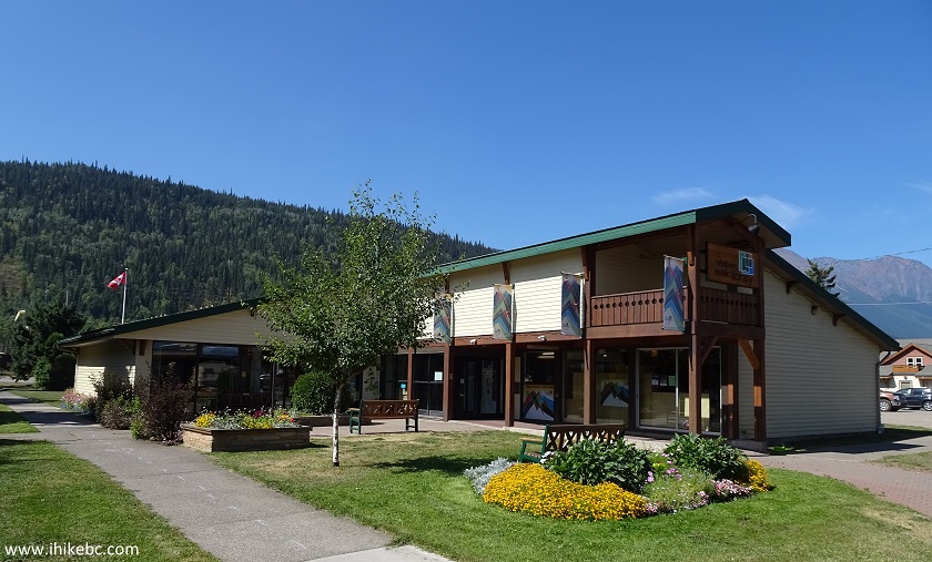
14. Bug art at the entrance to the Info Centre.
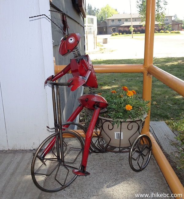
Art at the entrance to Smithers Visitor Centre and Chamber of Commerce
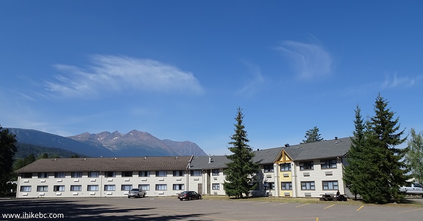
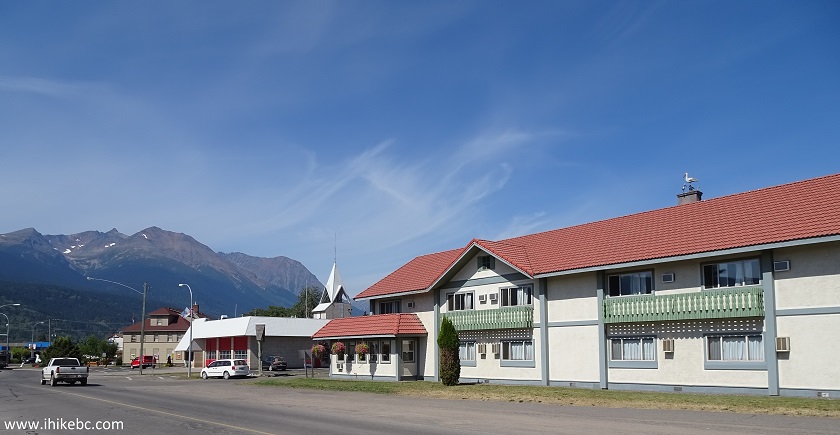
15. Let's check out a picturesque setting of Smithers. This is what Twinn Valley Inn looks like from the outside.
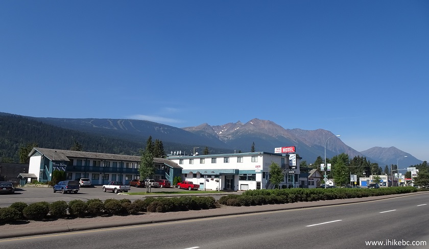
Twinn Valley Inn Smithers British Columbia Canada
16. We have reached the West "gate" to Smithers, located about 3.4 km from the East "gate", and about 5.0 km from the parking lot.
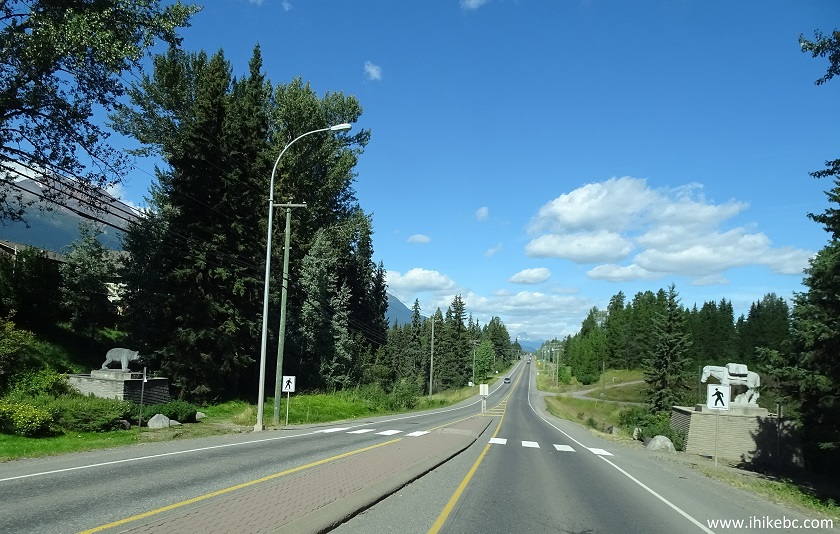
BC Highway 16 West at the Western end of Smithers British Columbia
17. The statue on the right is a horse.
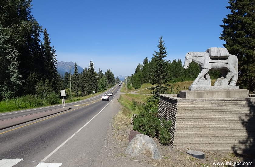
Smithers BC Horse Statue by Highway 16
18. And, on the left, is a bear.
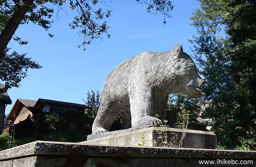
Bear Statue by Highway 16 in Smithers BC Canada
19. We then explored the residential part of South Smithers. This is Toronto Street at Third Avenue, looking South.
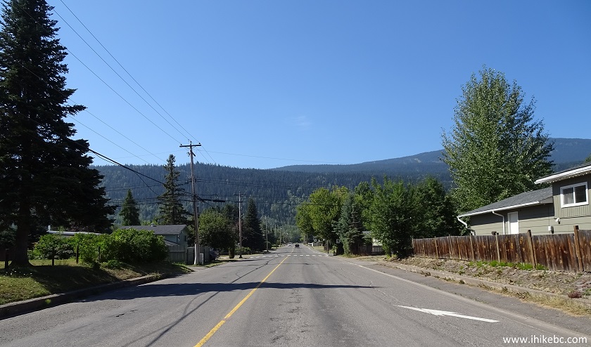
Toronto Street at Third Avenue Smithers BC Canada
20. A house on the corner of Manitoba Street and Broadway Avenue. A rail track runs just a block away. A silver lining is that the trains in Smithers do not blow their horns nearly as often as they do in Valemount, for example, so the noise is not as pronounced.
Corner of Manitoba Street and Broadway Avenue in Smithers British
Columbia
21. Smithers Town Office on the corner of Aldous Street and Alfred Avenue. Alfred Avenue is where you would find most government offices in Smithers, including a courthouse.
Smithers Town Office
22. Smithers Public Library is nearby.
Smithers Public Library
23. We then went down King Street, and, on the corner of First Avenue, discovered a restored Old St. James Anglican Church. There is an info stand nearby explaining the history of the church and its restoration process. Quite an interesting read.
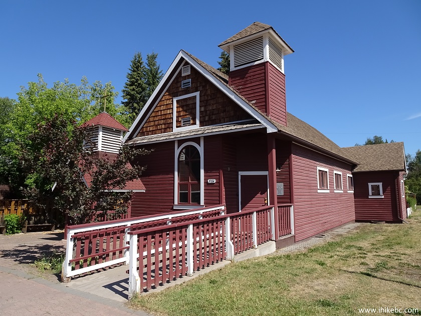
Smithers Old St. James Anglican Church
26. Hudson Bay Lodge is located on the corner of Frontage Road and Sixteenth Avenue.
Hudson Bay Lodge Smithers BC Canada
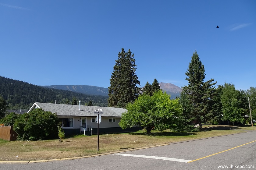
27. We are now on the North side of Smithers, and how about the setting of this house on the corner of Main Street and Fourteenth Avenue.
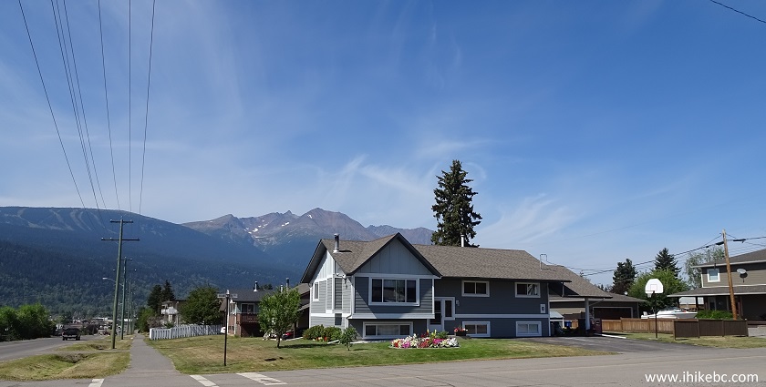
Corner of Main Street and Fourteenth Avenue Smithers British Columbia
Canada
28. A building on the corner of Main Street and Eighth Avenue.
Building on the corner of Main Street and Eighth Avenue Smithers BC
29. We then biked on Tenth Avenue until it became Rosenthal Road and started going downhill.
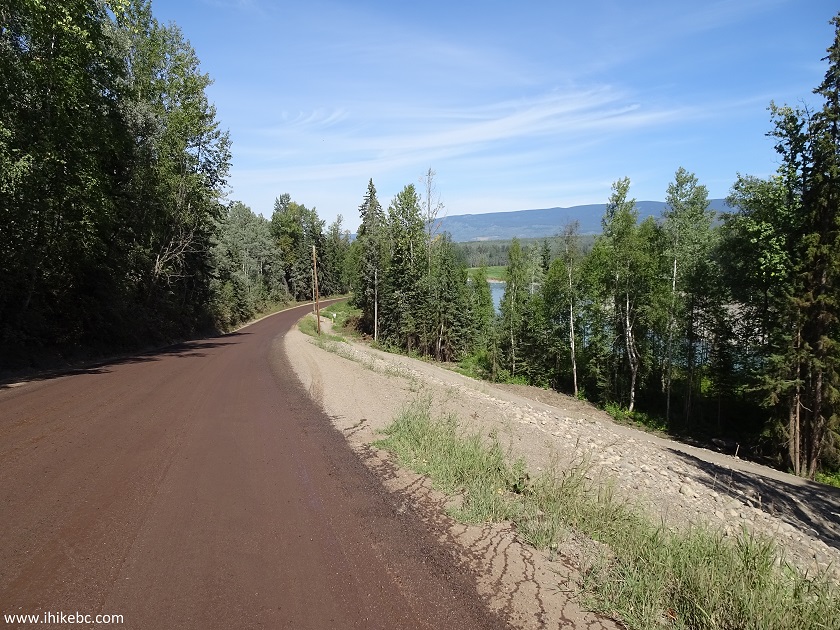
Rosenthal Road Smithers British Columbia Canada
30. At the bottom of the hill, there was Bulkley River, as well as one of the many entrances to a very neat Perimeter Trail. Here is a map of the trail, with a circle in the top left corner indicating our current location.
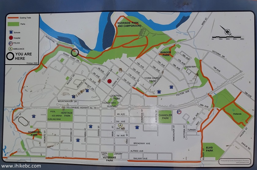
Smithers BC Perimeter Trail Map
31. We ended up exiting the Perimeter Trail onto Queen Street and heading back to the parking lot. But not before we took this photo of Bulkley River. Coordinates for this view: N 54⁰47.268', W 127⁰09.595'. You would need to go down a short but steep hill for the best view.
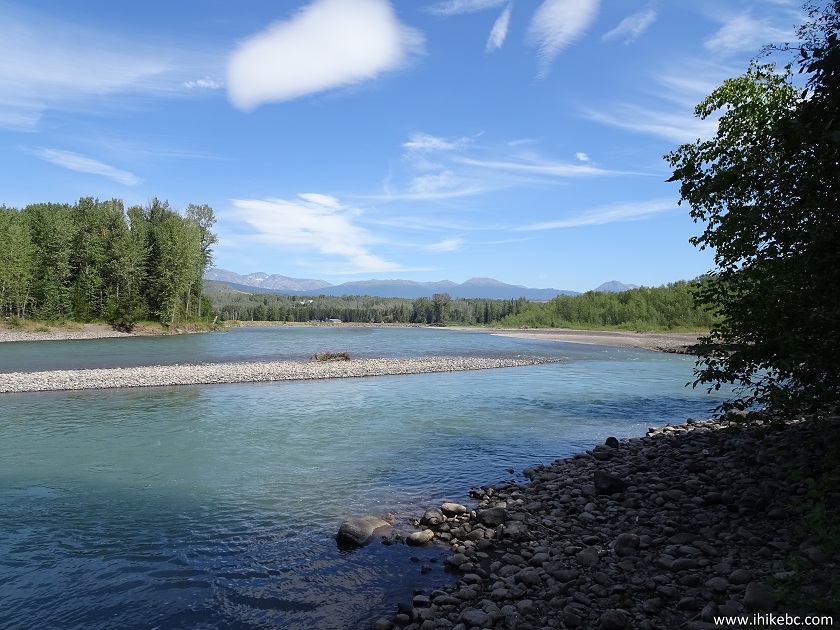
Bulkley River Smithers BC
32. A few days later, we have found this goat statue on Main Street at Highway 16, nearly diagonally opposite of Alpenman.
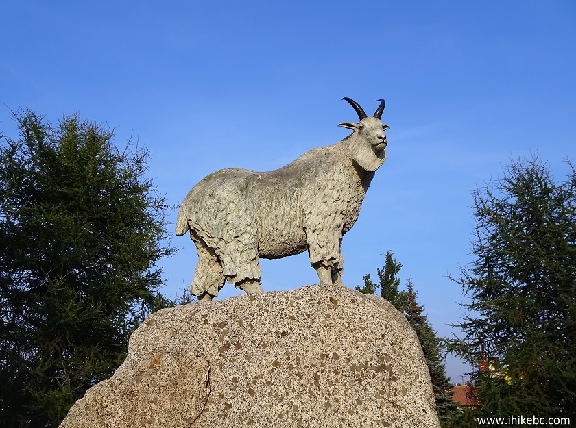
Goat Statue Smithers BC Canada
33. And we finish with a fine piece of wall art on the exterior of Smithers Secondary School.
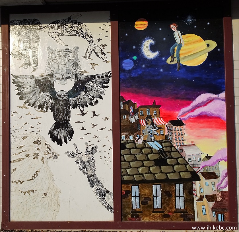
Smithers Secondary School Wall Art
Smithers must be quite a fine town to live in. It sure was a neat place to visit.


|
 |
Other Trips in Smithers BC Area:
|
|
|
|
|
|
|
|
|
|
|
|
|
Fletcher-Gardiner Trail  |
Other Trips:


![]()


![]()
![]()
![]()
ihikebc.com Trip 143 - Visit to Smithers BC