![]()
![]()
![]()

Trip 285 - June 14-15, 2023 (Wednesday-Thursday)
Scuzzy Forest Service Road Hike
Near Boston Bar, BC
Liked: Several fine natural views, a mini-waterfall, lots of shade, few bugs.
Vancouver, Coast & Mountains Backroad Mapbook (2019 edition) Scuzzy Coordinates: Page 26 (Boston Bar) D4-C4-B4/B5.
Nearby FSR Trip: Nahatlatch FSR Visit.
Other Forest Service Roads Trips: Chehalis (by Harrison Mills), Chilliwack Bench, Chilliwack Foley, Chilliwack Lake, Chuchinka-Colbourne (North of Prince George), Clear Creek (off Harrison East), Florence Lake (access to Stave Lake by Mission), Harrison East, Harrison East Second Trip, Harrison West, Jones Lake (by Hope), Lost Creek (by Mission), Mamquam River (near Squamish), Parsnip West (near Mackenzie), Shovel Creek (off Harrison East), Sowaqua Creek (by Hope), Squamish River Main, Squamish River Ashlu, Squamish River E-Main, Squamish River FSR Washout, Windfall Creek (by Tumbler Ridge).
Follow @ihikebc TweetScuzzy Forest Service Road runs along Scuzzy Creek, and is located off Highway 1 near Boston Bar, approximately 215 km East of Vancouver and 65 km East of Hope. Up to the 7.2 km mark, Scuzzy FSR is in decent shape (some potholes here and there), and is suitable for all vehicles with regular clearance (2WD - ok). There is a very nice large flat area at 7.2 km, with huge man-made stone dikes/barriers against the creek. This is where the road just about ends for all vehicles. Another 200 meters of rough driving can be done, and then the first of many washouts would prevent all but hikers from going forward.
Exploring Scuzzy FSR past the washout is an interesting, if rather view-deficient adventure. We hiked for about 7 km (one way) past the first washout, found (after much looking) a split between Scuzzy North FSR and Scuzzy South FSR, discovered an intriguing locked gate preventing any vehicles (which would make it up to there in the past) from going any further on Scuzzy North, and found out that Scuzzy South has a washed out bridge and is getting badly overgrown.
We stopped at Scuzzy Creek at the location of a washed out bridge (which is still chilling in the creek nearby), had a lunch, and headed back. Aside from one decent natural view and a small cascading waterfall, there wasn't much to see, but it was a good way to explore a (mostly?) abandoned forest service road.
Scuzzy Creek Recreation Site, located about 2.5 km from the start of the hike (9.7 km from the start of the FSR) appears to be intact, but a bridge connecting Scuzzy FSR to the recreation site had been destroyed, so you would need to wade across Scuzzy Creek to get there.
1. Here is a Google Maps location of Green Ranch Road in Boston Bar, which leads to Scuzzy Forest Service Road.
2. We are now on Chaumox Road in Boston Bar, about to cross a rail track. For directions on getting up to this point from Highway 1 in Boston Bar, check out our Nahatlatch FSR trip report. This is the same photo as photo #9 of that trip report.
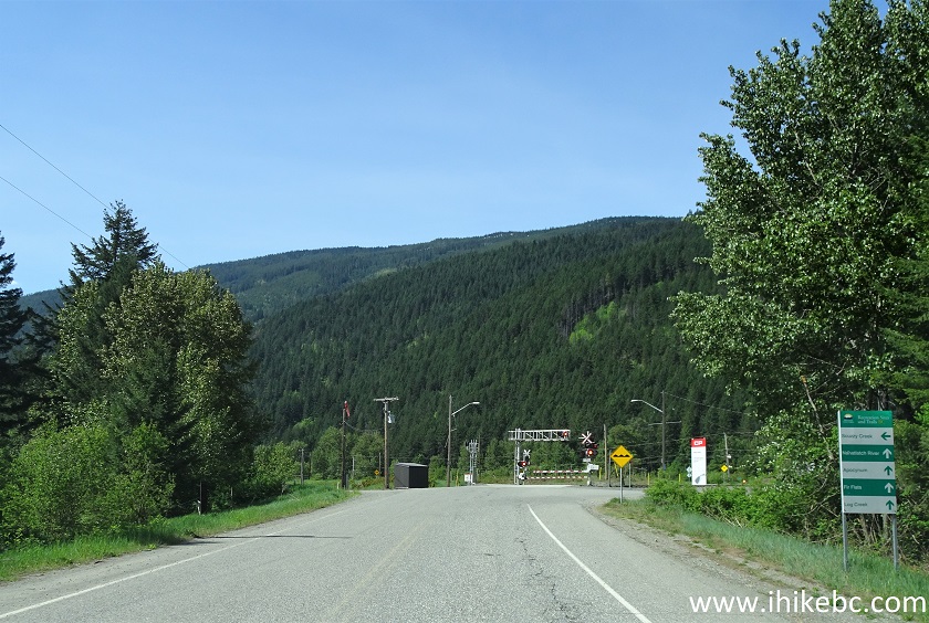
Chaumox Road Boston Bar BC
3. After the track crossing (which is 1.7 km from Highway 1), make an immediate left turn onto Green Ranch Road. Going straight would be the continuation of Chaumox Road, which, eventually, leads to Nahatlatch FSR. Here we are on Green Ranch Road after making that left turn.
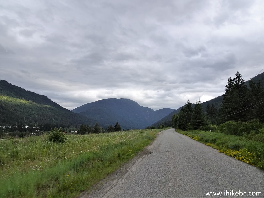
Green Ranch Road Boston Bar BC
4. We have reached the start of Scuzzy FSR 3.2 km after turning onto Green Ranch Road (and 4.9 km after turning from Highway 1). Coordinates: N 49⁰50.902' W 121⁰26.875'. Elevation: 215 meters. The odometer got zeroed at this point.
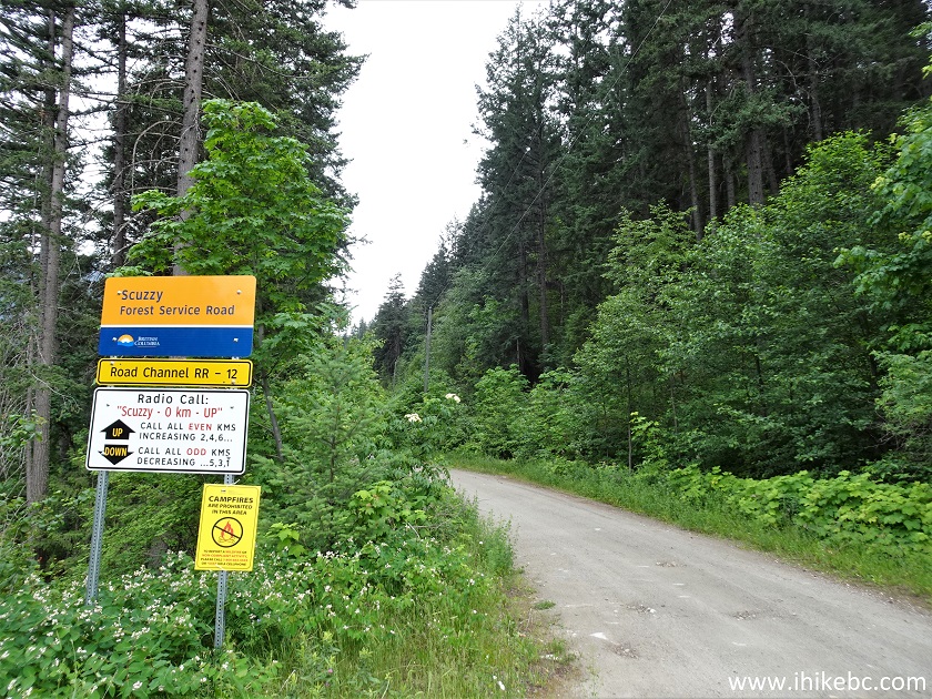
Scuzzy FSR start
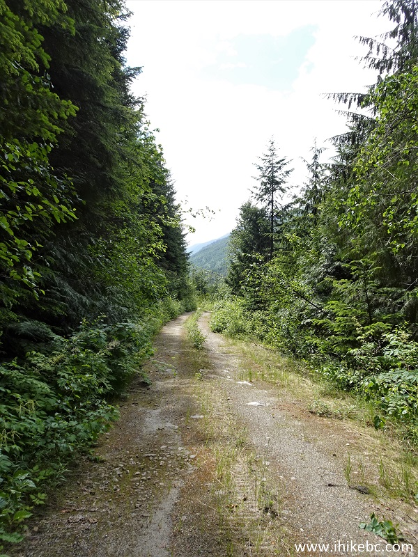
5. Scuzzy FSR is in decent shape until the 7.2 km mark, occasional potholes notwithstanding. There are several good views on this stretch too, including the one below at the 5.5 km mark of the FSR.
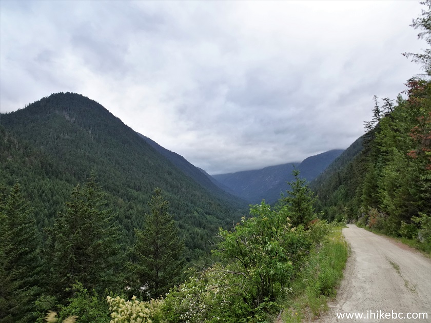
Scuzzy Forest Service Road
6. At 6.6 km, there is a sturdy bridge across Scuzzy Creek.
Scuzzy FSR in Boston Bar BC area
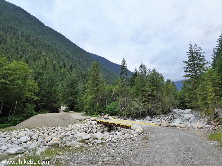
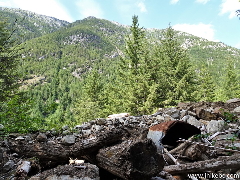
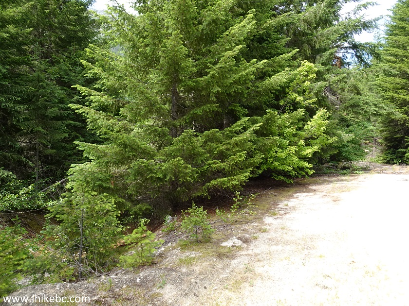
7. And, about 600 meters later, the good road ends at this large camping spot. Coordinates: N 49⁰49.938' W 121⁰29.317'. Elevation: 325 meters. We are looking back here, and the red arrow shows where we came from, while the green arrow indicates the start of the hike.
Scuzzy FSR British Columbia Canada
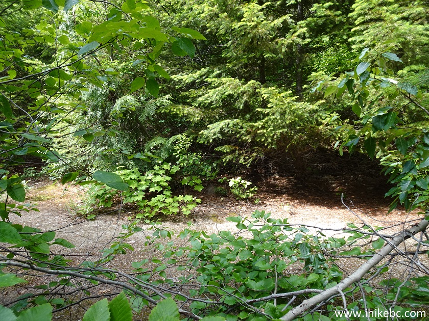
8. Here is the continuation of Scuzzy FSR and the start of the hike. All the following distances are from this trailhead, are based on a GPS odometer, and are approximate.
Scuzzy Creek Forest Service Road
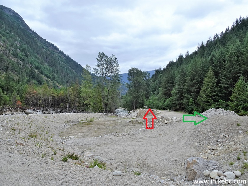
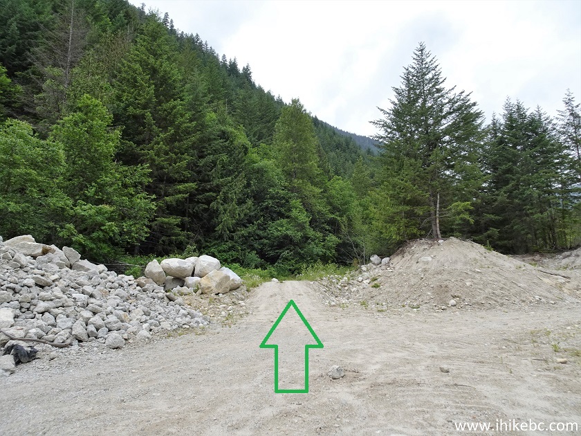
9. If you have a capable vehicle, you may drive for another 180 meters, where this pile of dirt would be a good place to stop, as what follows...
Scuzzy Forest Service Road
10. ...is this.
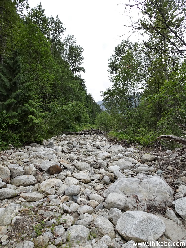
Scuzzy Creek FSR near Boston Bar BC Canada
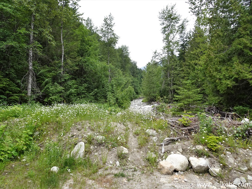
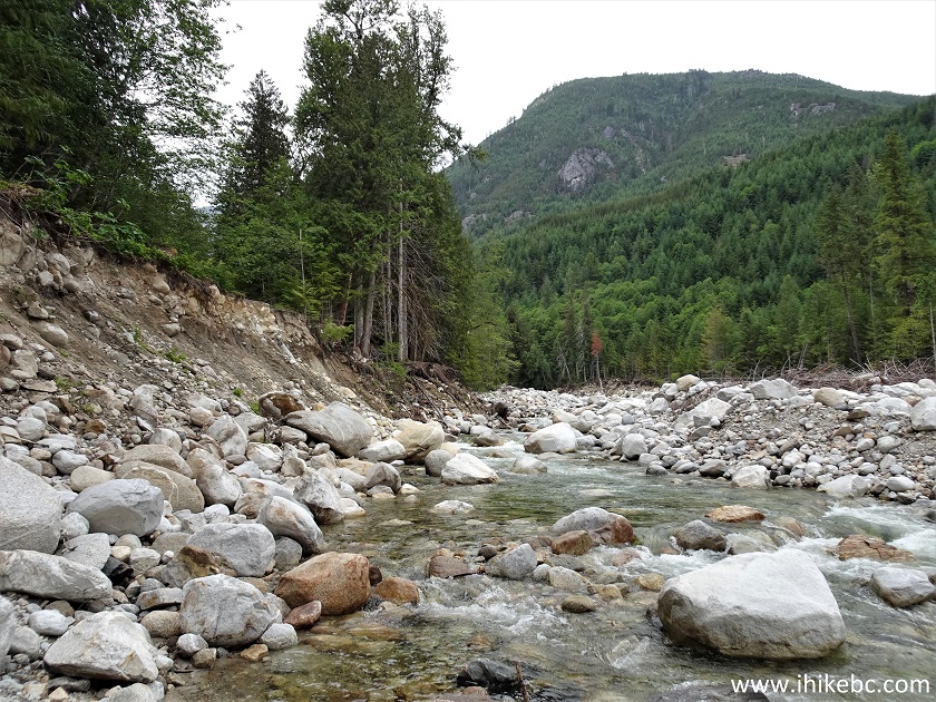
11. At 510 meters, we can see how Scuzzy Creek chewed up Scuzzy FSR.
Scuzzy Creek and Scuzzy FSR
12. At 660 meters, even horses wouldn't go any further.
Damaged Scuzzy Forest Service Road
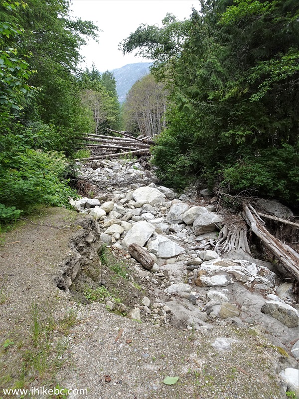
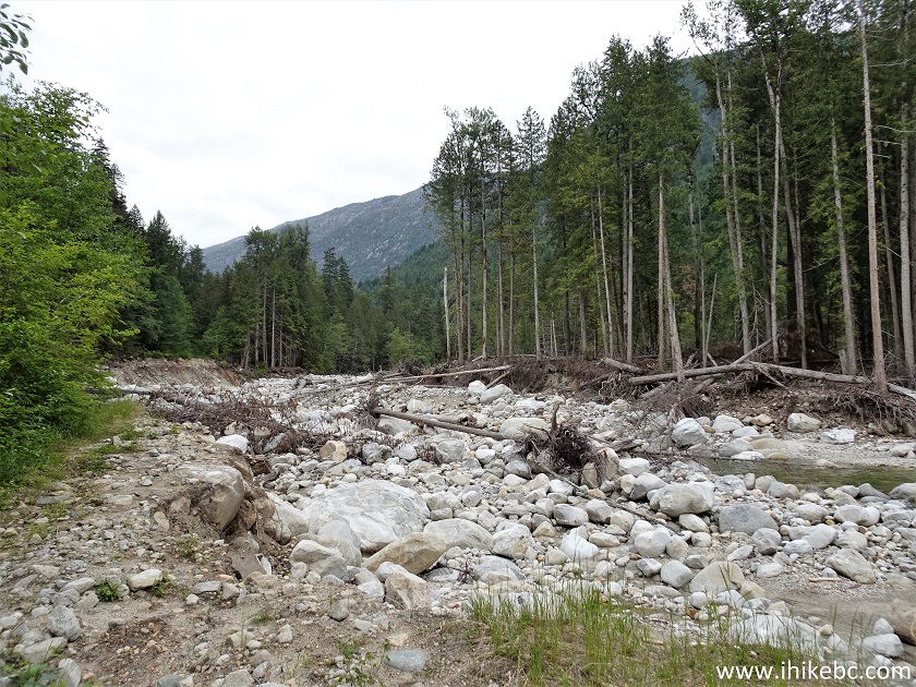
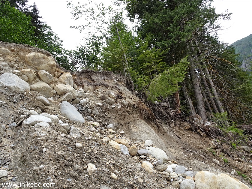
13. At 730 meters, there is this very large and long (at least a hundred meters) heap of debris which looked way too dangerous to tackle head-on. Fortunately, there was a relatively easy way to go around it on the left side. Of course, another spring run-off would likely rearrange this debris field in a hurry.
Scuzzy FSR Debris
14. Having detoured through the forest on the left side, we came to a point where an undamaged Scuzzy FSR appeared straight ahead (on the left side of this photo). Coordinates: N 49⁰50.179' W 121⁰30.182'. Elevation: 370 meters.
Scuzzy Creek near Boston Bar BC Canada
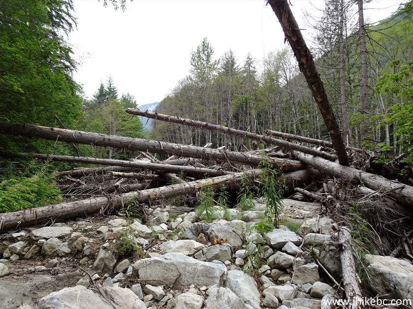
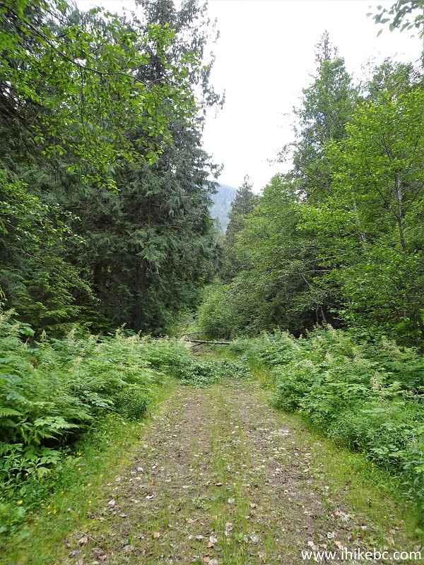
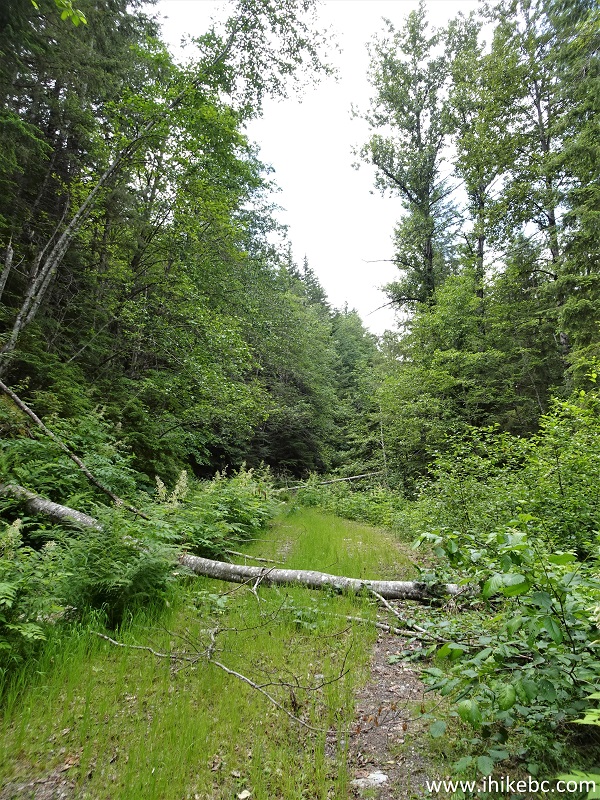
15. Scuzzy Forest Service Road gains elevation in a barely perceptible manner, and doesn't have any major climbing sections. The only obstacle on intact stretches of the FSR are numerous fallen trees. Sometimes you have to climb over them, and, sometimes, go under.
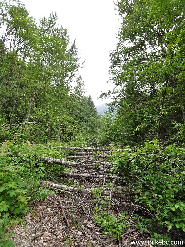
Windfall on Scuzzy FSR
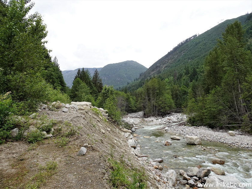
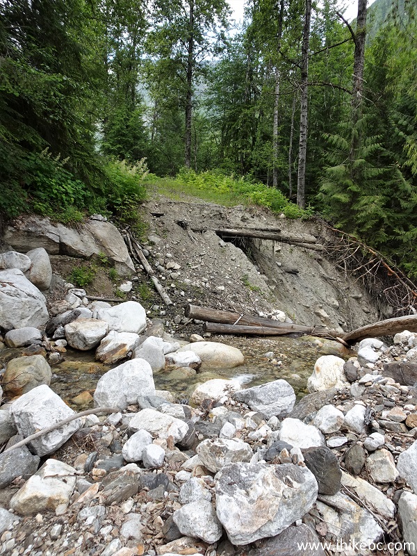
16. At 2.15 km, there is a major washout, with a semi-challenging descent towards the creek, walking on the stones by the creek, and then a rather easy climb back onto the FSR. Coordinates: N 49⁰50.378' W 121⁰30.863'. Elevation: 405 meters. Scuzzy Creek Recreation Site is right across Scuzzy Creek at this point, but you would need to wade to get there, as a bridge (located on the other side of the erosion and about a hundred meters further) is gone.
Scuzzy FSR Washout
17. Walking on the stones by Scuzzy Creek.
Scuzzy Creek
18. Time to climb up. A bit more to the right is more manageable. It's not as hard as it looks.
Scuzzy FSR damage
19. Back on the road.
Scuzzy Forest Service Road near Boston Bar BC
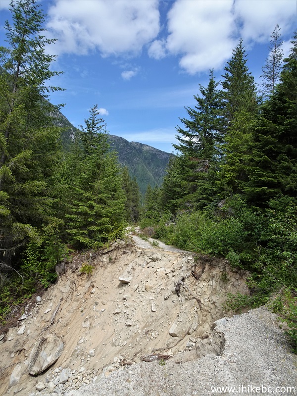
20. At 3.0 km, there is yet another washout.
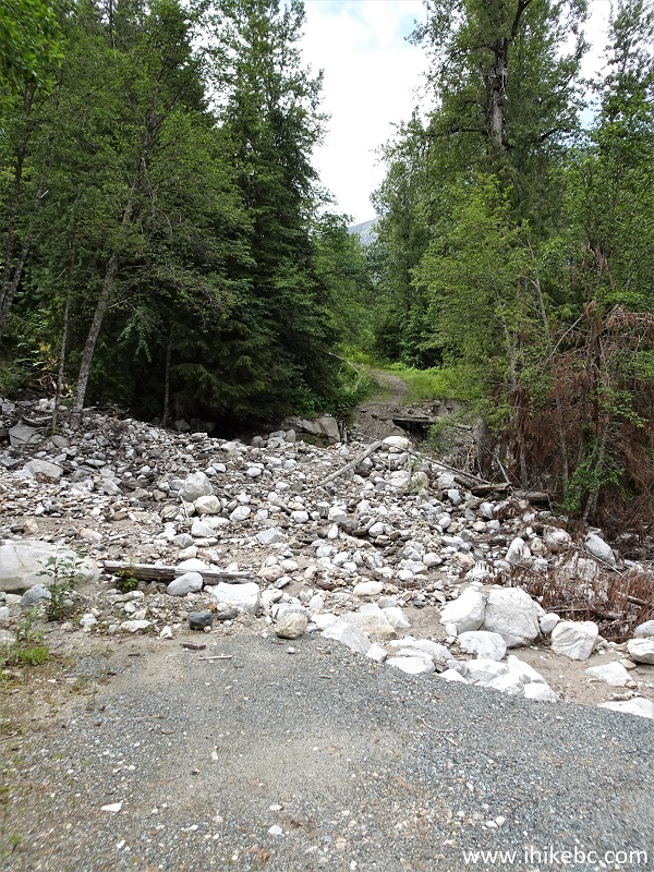
Scuzzy Forest Service Road Washout
21. This is where you may need to wade, if the water level would be any higher.
Damaged Scuzzy Forest Service Road
22. Scuzzy FSR at the 3.45 km mark of the hike.
Scuzzy Creek FSR
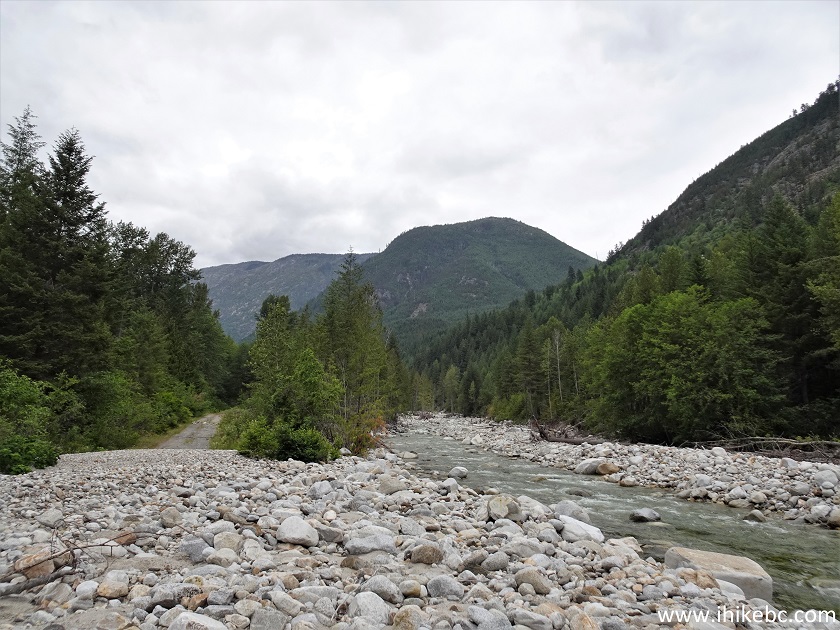
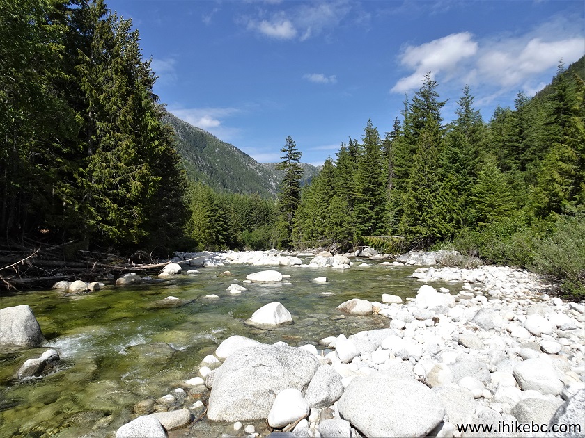
23. Just about the only impressive view of the hike comes at 4.6 km - looking back here. Coordinates: N 49⁰50.595' W 121⁰32.610'. Elevation: 640 meters.
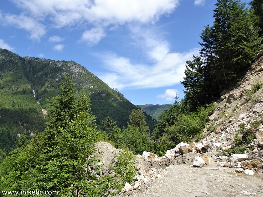
Scuzzy FSR near Boston Bar BC Canada
24. Now at 4.8 km of Scuzzy Forest Service Road hike, counting from the end of the vehicle access at 7.2 km from the start of the FSR.
Scuzzy Forest Service Road
25. At 5.0 km, we have reached a pleasant cascading waterfall. Coordinates: N 49⁰50.544' W 121⁰33.125'. Elevation: 650 meters. Here is a view from the FSR.

Scuzzy FSR Waterfall
26. A fairly easy climb on the left side allows to see several more cascades, but the waterfall is much taller than that.
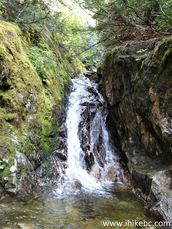
Waterfall by Scuzzy Forest Service Road
27. Looking back from Scuzzy FSR Falls.
British Columbia
Here is our video of the waterfall:
More ihikebc videos are on our YouTube Channel.
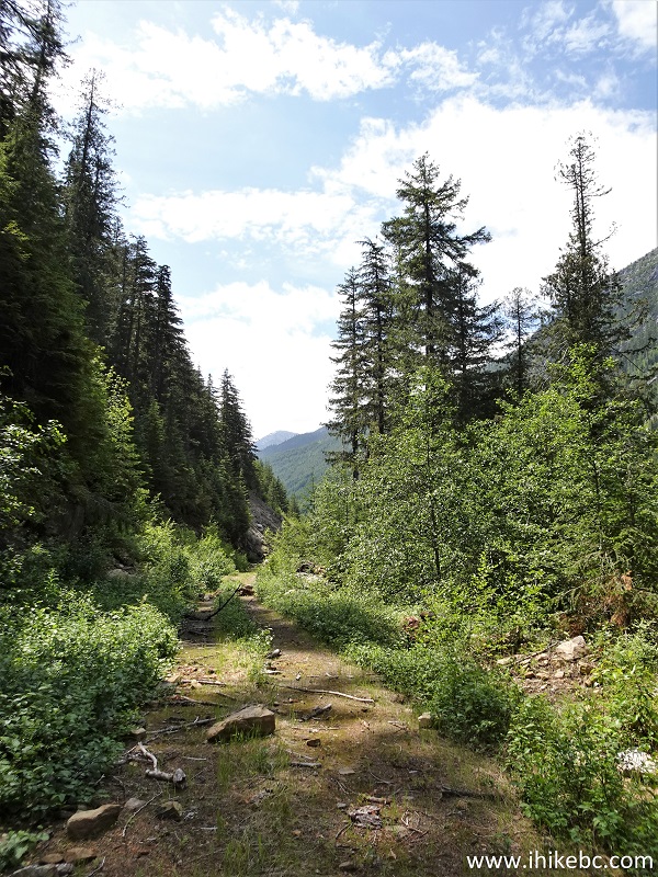
28. Continuing on Scuzzy Forest Service Road. At 5.85 km here.
Scuzzy Creek Forest Service Road near Boston Bar British Columbia Canada
29. At 6.6 km, one more washout made things interesting, as the road is all but gone, and what little is left of it has tree branches in the way, as well as quite a drop-off very close to the path, which made for a slightly complicated crossing. Looking back.
Scuzzy Creek Forest Service Road Washout
30. And, at the 7.6 km mark, quite an unexpected view - a locked gate! Coordinates: N 49⁰50.022' W 121⁰34.297'. Elevation: 710 meters. There is definitely no way any vehicle is getting anywhere near this gate, and we were tempted to go find out what it was out there that the gate intended to protect, but the GPS map showed about 4 more kilometers to go, and we did not feel like hiking that much, especially since we wanted to find a split between Scuzzy North and South FSRs. The gate belonged to Scuzzy North, and Scuzzy South was somewhere close. We went forward for several hundred meters, did not find anything interesting, then went back and started looking for Scuzzy South split.
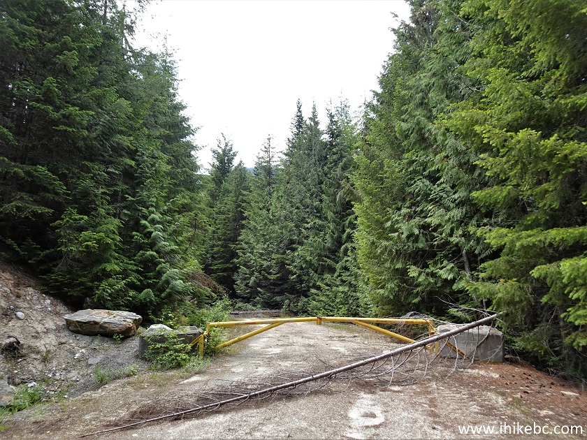
Scuzzy FSR Gate
31. No wonder we missed it. There it is, on the left side, just a few hundred meters before the gate, a bit more obvious on the way back (as pictured below), and absolutely missed by us on the way to the gate, as it is so overgrown. This is actually a connector trail of several hundred meters, and the actual split is a bit further back, just as overgrown.
32. Here we are at the end of the connector trail, about to make a left turn onto Scuzzy South FSR. Making a right turn would lead to the actual Scuzzy North / Scuzzy South split, also in several hundred meters. We did not need to bushwhack on Scuzzy South or the connector trail, and some stretches were quite decent, but it would certainly get quite overgrown in a few years, because...
33. ...in about 350 meters, the bridge across Scuzzy South is all but gone and no one likely comes here anymore. Looking back at the bridge we just crossed. It was a tricky crossing, so watch out. You would not fall too far, but it's quite a mess of debris down there, and it would definitely hurt.
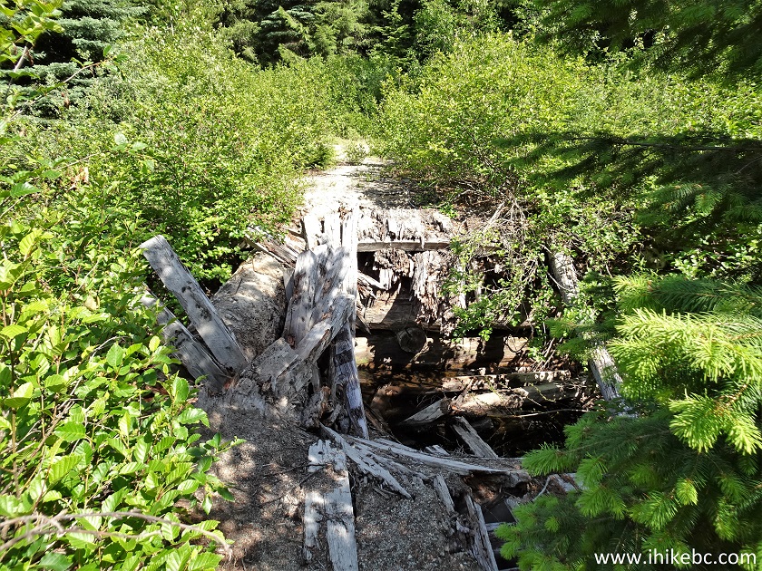
34-35. Just 30 meters later, we have reached the bridge we wanted to see, except did not expect it in the creek.
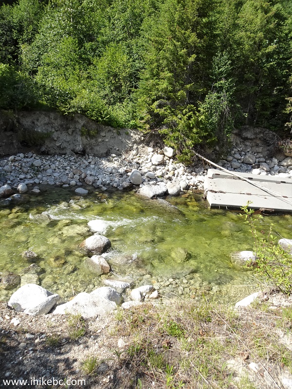
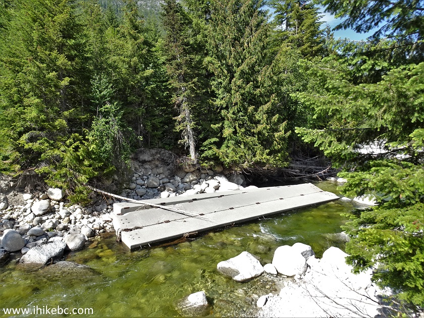
Scuzzy FSR South Broken Bridge
36. Had a lunch with a decent view, and headed back.
Who knows what interesting stuff is hiding further along Scuzzy North FSR behind the gate - four more kilometers of hiking may yield some cool discoveries. As for Scuzzy South, even if you wade across the creek, the rest of the FSR may have to be bushwhacked, at least some of the way, and, too, might yield some fine discoveries and/or impressive views.


|
 |
Other Trips:


![]()
![]()
![]()
Follow @ihikebc Tweet
ihikebc.com Trip 285 - Scuzzy Forest Service Road Hike (near Boston Bar, BC)