![]()
![]()
![]()

Trip 155 - June 3, 2019 (Monday)
Greendrop Lake Trail Hike
Via Lindeman Lake in Chilliwack Lake Provincial Park
Page 1 of 2
Distance from Vancouver to the Trailhead:
136 kilometers: 90.5 km
from Vancouver via Highway 1 East (Grandview Hwy entrance to Hwy 1) to Exit 119 (Yale
Rd / Vedder Rd) in Chilliwack. Then, 5.5 km on Vedder Road to Chilliwack
Lake Road. Then 40 km on Chilliwack Lake Road to the trailhead parking
lot.
Liked: Lake views, mountain view, haphazard stone formations, waterfall at Greendrop Lake, a fairly easy trail, shade in the forest, almost no bugs.
Of Note: The trail is popular, some muddy sections, the trail becomes moderately challenging after Lindeman Lake. Hiking boots and poles are recommended (to Lindeman Lake) and are highly recommended on the trail to Greendrop Lake. Backcountry camping is subject to a $5 per day fee.
Vancouver, Coast & Mountains BC Backroad Mapbook (2nd edition) Trailhead Coordinates: Page 5 (Chilliwack Lake) F5.
103 Hikes in Southwestern British Columbia (2008 edition): hike #74.
Related Website: Chilliwack Lake Provincial Park - BC Parks Official Site.
Other Trips in or near Chilliwack Lake Provincial Park: Flora Lake Trail, Chilliwack Lake Forest Service Road, Radium Lake Trail, Chilliwack Lake Provincial Park.
Other Trips in Chilliwack Area: Williams Ridge Trail, Mount Thom Lookout Loop Trail, Vedder Rotary Loop Trail, Teapot Hill Trail Hike, Chilliwack Dyke Trail, Mount Cheam Peak Trail, Ling Lake Trail Hike (off Chilliwack Foley FSR), Chilliwack Foley FSR, Chilliwack Bench FSR, Elk-Thurston Trail, Slesse Memorial Trail, Downtown Chilliwack BC Visit, Minter Gardens, Town of Agassiz BC, Bridal Veil Falls Provincial Park.
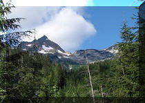
Little did we know slightly less than nine years ago, in August of 2011, while hiking Radium Lake Trail in Chilliwack Lake Provincial Park, that a much better (albeit substantially more crowded) alternative exists just a few kilometers away. Greendrop Lake Trail (called Post-Greendrop trail in Backroad Mapbook) goes for just over seven kilometers, and is vastly more picturesque than its Radium Lake counterpart. Greendrop Lake Trail takes you past Lindeman Lake with its camping area, and ends at Greendrop Lake, where camping is also quite popular. The trail to Lindeman Lake takes about an hour, and is easy enough for schoolchildren, of whom we met a school bus-full today. Past Lindeman Lake, the trail is more complicated, and features substantially fewer fellow hikers. It takes another 1.5 to 2 hours to get to Greendrop Lake, and one would have to cross several boulder fields, and climb over very large fallen trees at the end of the trail. Flora Lake trailhead starts at the same parking lot, and, depending on trail conditions, it may be possible to hike in a loop, though taking into consideration that Flora Lake Trail is much more difficult than Greendrop Lake Trail.
1a-1b. From Vancouver, take Highway 1 East, and use Exit 119 to Vedder Road. Keep right after the exit.
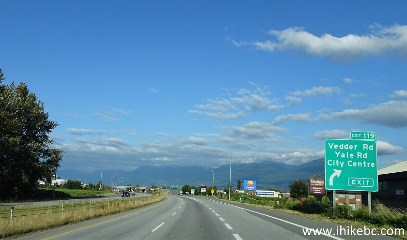
TransCanada Highway 1 Eastbound in Chilliwack BC Approaching Exit 119
Vedder Rd / Yale Rd - August 2020 photo
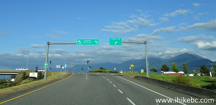
TransCanada Highway 1 East Exit 119 Vedder Road / Yale Road/ Chilliwack City
Center - August 2020 photo
2. Having turned right, drive on Vedder Road for 5.5 km, and reach this roundabout.
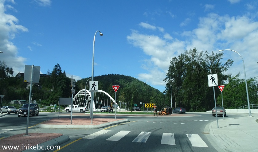
Vedder Road Chilliwack BC Canada
3. Take the second exit to Chilliwack Lake Road.
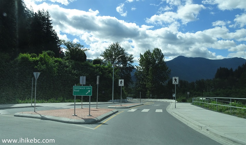
The start of Chilliwack Lake Road
4. Chilliwack Lake Road does not have many good views, but this one is not bad at all.
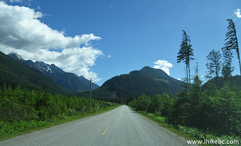
Chilliwack Lake Road British Columbia Canada
5-6. Just under 40 kilometers after the roundabout, and 300 meters before Chilliwack Lake Provincial Park campground entrance, turn left onto the Greendrop Lake Trail / Flora Lake Trail parking lot. Coordinates: N 49⁰05.913' W 121⁰27.497'. Elevation: 634 meters.

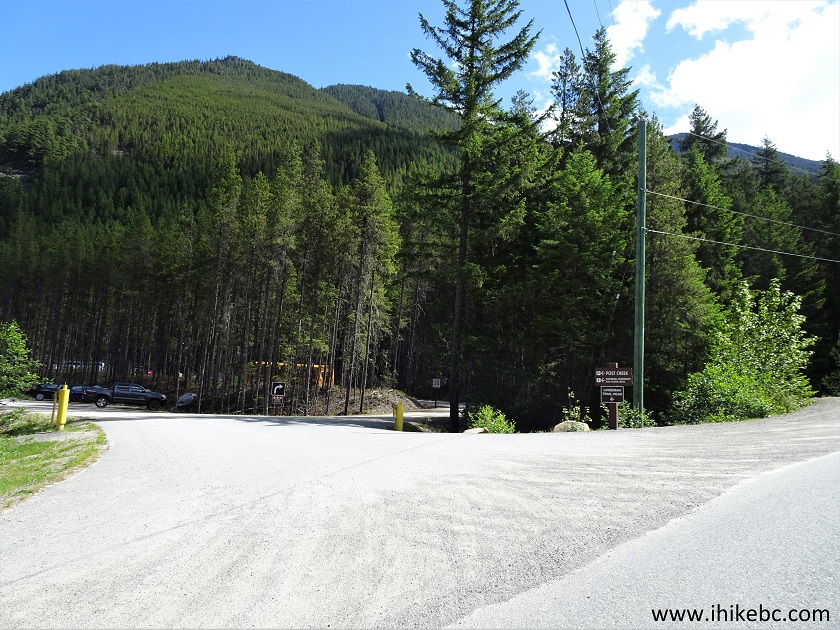
Chilliwack Lake Road turnoff to Greendrop Lake and Flora Lake trailhead
parking lot
7. The is enough space for about 50 vehicles. Here is that school bus, by the way.
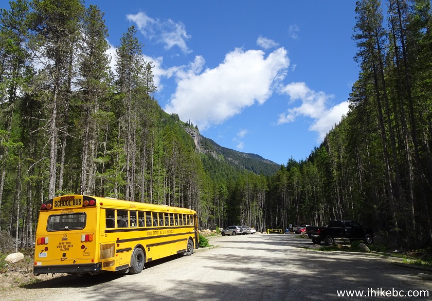
Flora Lake and Greendrop Lake parking lot in Chilliwack Provincial Park
British Columbia Canada
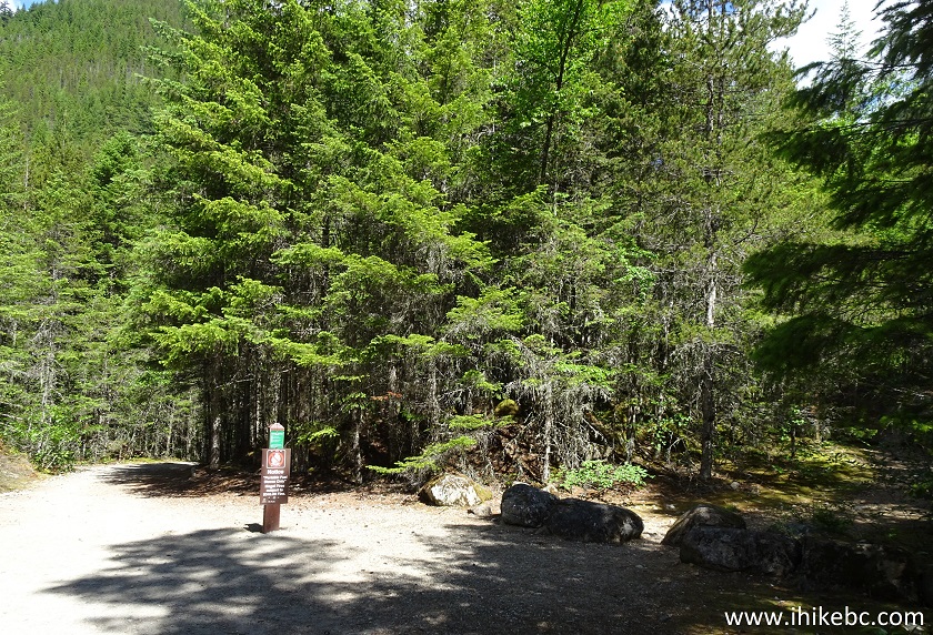
8. The yellow gate you see at the far end in the photo above is where the trailhead is located, as well as an information board with a map of the park, pictured in more detail in photo #9.
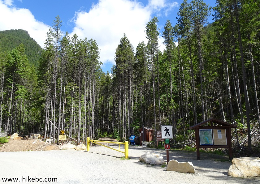
Parking lot for Greendrop Lake and Lindeman Lake Trail Chilliwack Lake
Provincial Park
9. We have indicated with the red and white arrows the beginning of Greendrop Lake and Flora Lake trails, as well as their meeting point at the opposite side of the loop. Greendrop Lake is just above the white arrow. Lindeman Lake is between the red and white arrows. The blue arrow points to Radium Lake Trail, which we hiked in 2011.
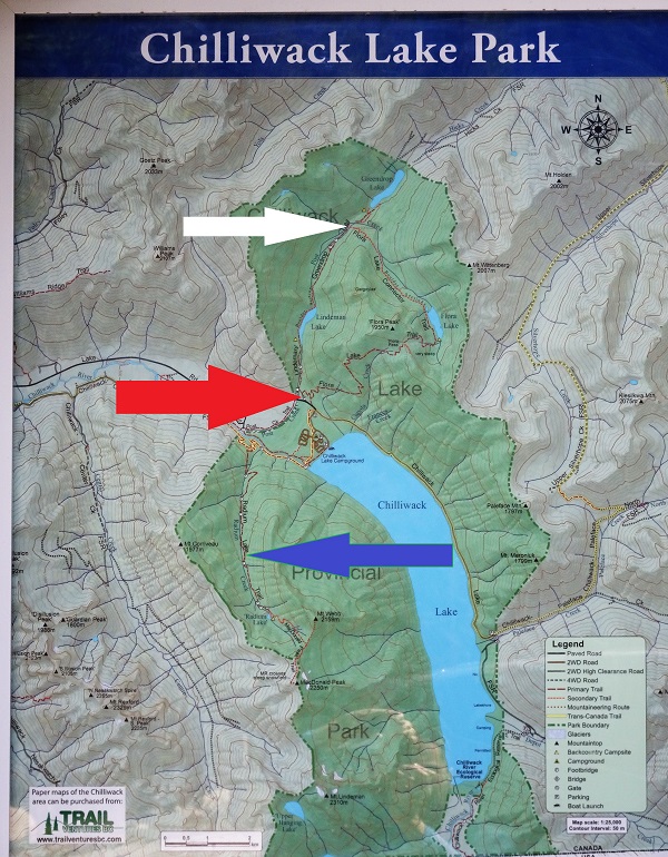
Chilliwack Lake Provincial Park Map
10. The trail begins.
Greendrop Lake Trailhead - Chilliwack Trail
11. A hundred meters later, there is a split - Greendrop Lake Trail is straight ahead, while Flora Lake Trail is to the right.
Greendrop Lake trail split with Flora Lake trail Chilliwack Provincial
Park - Chilliwack Hike
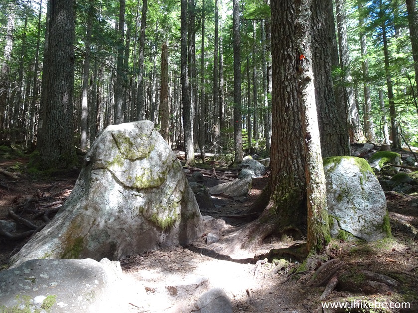
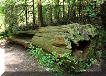
12. A very interesting feature of the Greendrop Lake Trail for the first one and a half or so kilometers, are numerous haphazard stone formation on and around the trail.
Chilliwack Hiking - Greendrop Lake Trail
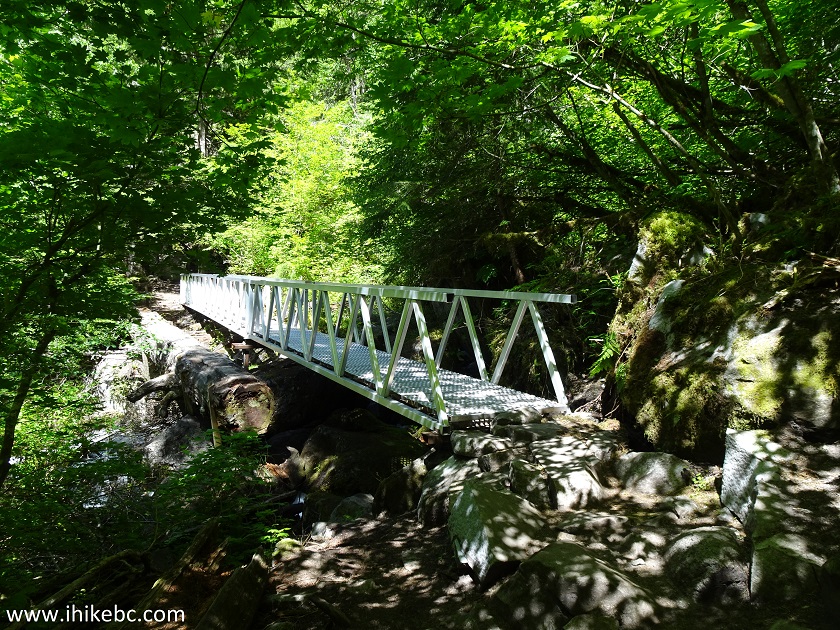
13. A neat bridge is located shortly after the 1 km mark. There are no mileage indicators on this trail, but a whole lot of diamond-shaped markers make it easy to follow a fairly obvious trail.
Hiking in Chilliwack Area - trail to Lindeman Lake and Greendrop Lake
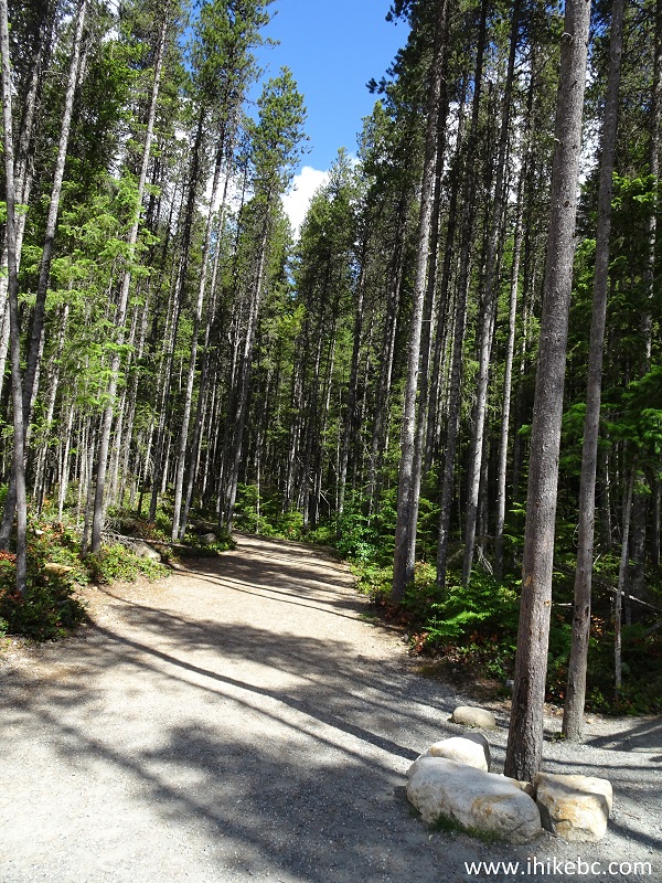
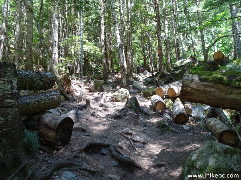
14. Another fine forest scene.
Hike in Chilliwack Area - Greendrop Lake trail British Columbia Canada
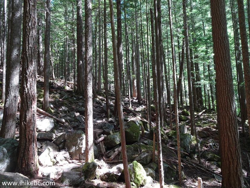
15. Shortly after that, Greendrop Lake Trail is surrounded by a multitude of thin trees.
Greendrop Lake trail in Chilliwack Area
16. One more interesting stone.
Trail to Lindeman Lake and Greendrop Lake near Chilliwack - BC Canada
Hike
17. Less than an hour of hiking brought us to Lindeman Lake camping area. Coordinates: N 49⁰06.655' W 121⁰27.590'. Elevation: 800 meters (166 meters elevation gain from the trailhead).
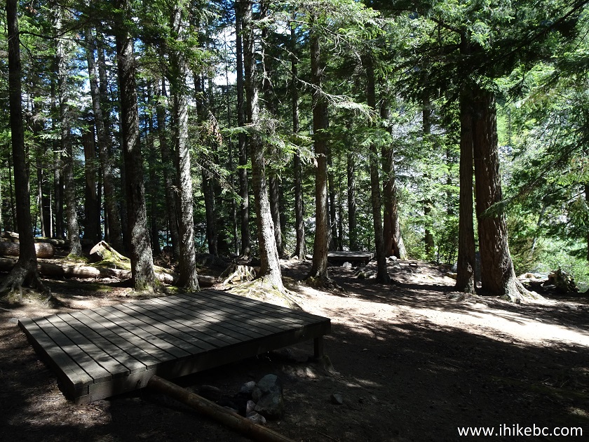
Lindeman Lake camping area in Chilliwack Lake Provincial Park British
Columbia Canada Hiking
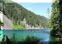
18. Hikers checking out Lindeman Lake.
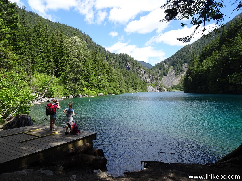
Lindeman Lake in Chilliwack Lake Provincial Park
19. Our turn.
Lindeman Lake near Chilliwack BC Canada
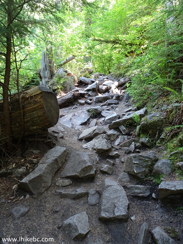
20. The majority of hikers went no further, but we kept going forward, and the trail became appreciably more difficult the moment it went past Lindeman Lake.
Trail to Greendrop Lake - Hiking in Chilliwack BC area
21. We have met two ladies hiking with babies in their backpacks.
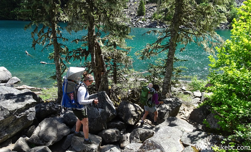
Mothers hiking with babies in Chilliwack Lake Provincial Park
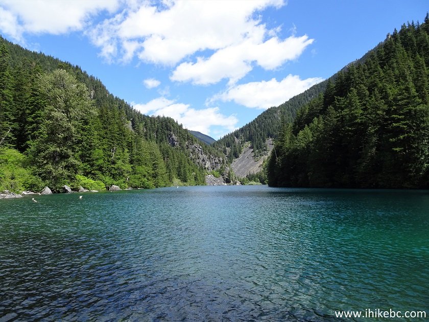
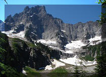
22. A pleasant surprise awaited closer to the middle of Lindeman Lake and beyond - there was a very fine mountain peak on the other side of the lake. We took this and the subsequent photo on the way back, when the lighting conditions allowed for a better view.
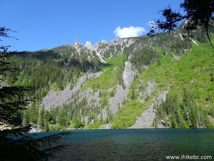
Lindeman Lake near Chilliwack BC Canada
23. Zooming in - cool! Looks much better in person too.
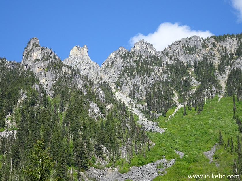
Mountain Peaks above Lindeman Lake in Chilliwack Lake Provincial Park
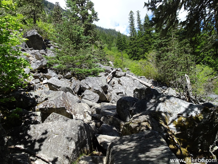
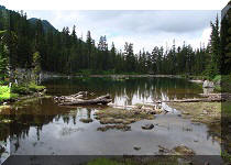
24. Lots of stone-hopping is required to get to the end of Lindeman Lake and proceed towards Greendrop Lake.
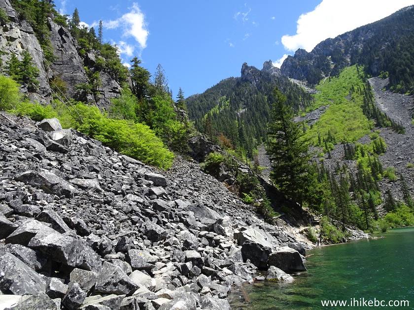
Hiking by Lindeman Lake near Chilliwack - Hike in British Columbia Canada
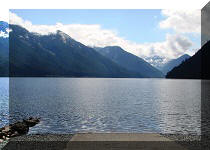
25. Looking at Lindeman Lake from the other side.
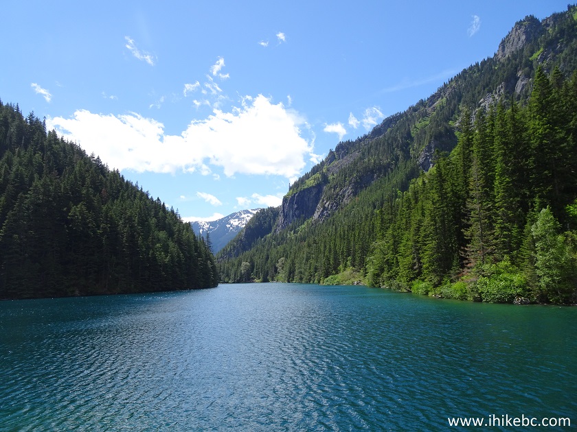
Lindeman Lake
Our Greendrop Lake Trail Hike trip report Continues on Page 2.


|
 |
Other Trips in Chilliwack BC Area:
|
|
|
|
|
|
|
|
|
|
|
|
|
|
|
|
|
|
|
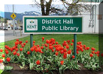
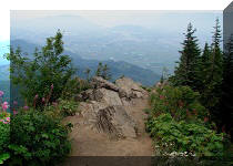
Teapot Hill Trail
|
|
Vedder Rotary Trail
|
|
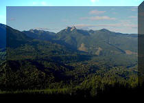
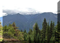
Mount Thom Trail
|
|
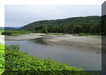
Flora Lake Trail 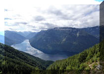 |


![]()
![]()
![]()
ihikebc.com Trip 155 - Greendrop Lake Trail Hike (Near Chilliwack BC) Page 1 of 2