![]()
![]()
![]()

Trip 272 - September 13, 2022 (Tuesday)
Hagwilget Peak Trail Hike
Via Station Creek Trail
Near New Hazelton BC (70 km West of Smithers via Hwy 16)
Page 2 of 2
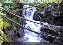
Liked: Panoramic valley view, mountain views, a small waterfall, several fine forest scenes, moss in the forest , shade in the forest, no bugs.
Of Note: A very steep trail, remote traffic noise for most of the trail, creek crossing on slippery logs is required, three large boulder fields crossings are required (avoid if wet or icy), hiking poles and boots are essential. The trail is suitable for experienced, well-equipped hikers only.
Northern BC Backroad Mapbook (3rd edition) Trailhead Coordinates: Page 49 (Hazelton) D7.
Hagwilget Peak Trail is located near the settlement of New Hazelton, about 70 km West of Smithers (440 km West of Prince George), via BC Highway 16. The trail is actually signed as Station Creek Trail, and that's the trail we planned to hike. We did not even know about the existence of Hagwilget Peak Trail until a sign at the split 3.68 km from the trailhead indicated that this trail was to the right. We decided to hike to Hagwilget Peak some other day and continued on Station Creek Trail, but encountered a huge windfall less than a kilometer later, which looked way too dangerous to cross, so we came back to the split and hiked the Hagwilget Peak Trail instead.
Station Creek Trail is moderately challenging up to the split, with several long steep stretches. However, Hagwilget Peak Trail is often very steep, and has three very large boulder fields, so it is suitable for experienced and well equipped hikers only.
The views from Hagwilget Peak are quite decent, though no match to Kitwanga Mountain Trail we hiked the day before. If you have to choose which one of these to hike, go to Kitwanga Mountain for sure. And, if you are planning to hike both of these trails, hike Hagwilget Peak first, in order to get even better views on the Kitwanga Mountain Hike.
*All trail distances are based on a GPS odometer and are approximate.
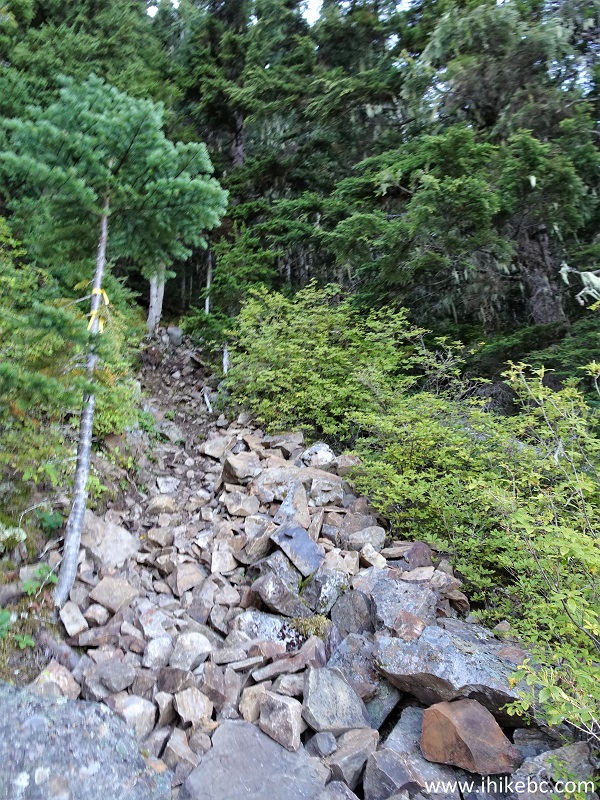
34. Hagwilget Peak Trail begins. Due to its steepness and several large boulder fields, this trail better be left for experienced, well-equipped hikers. At 65 meters here.
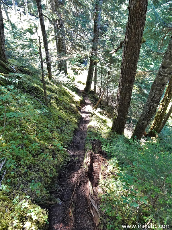
New Hazelton Hiking - Hagwilget Peak Trail
35. At 110 meters, a very treacherous creek crossing over a log bridge awaits. The log bridge is quite slippery - watch out. Might be impassable during the spring runoff.
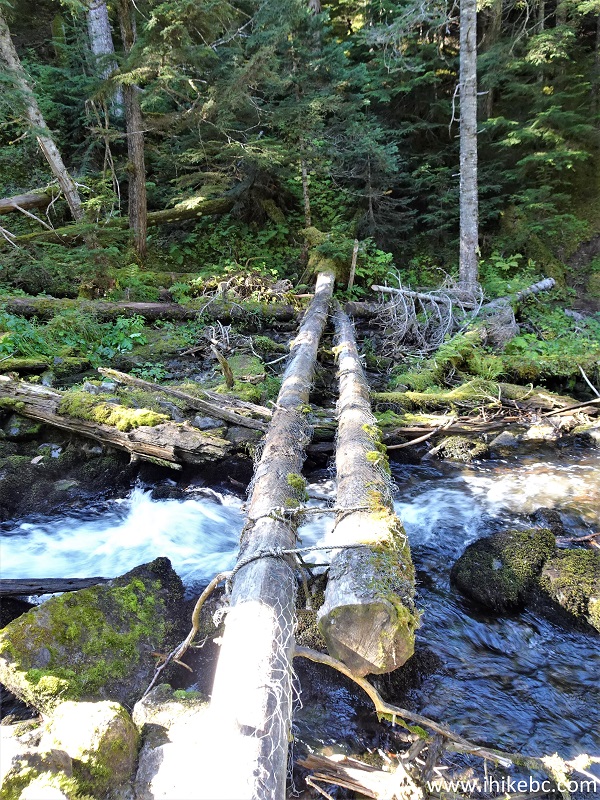
Hagwilget Peak Trail Log Bridge Crossing
36. Creek view from the bridge.
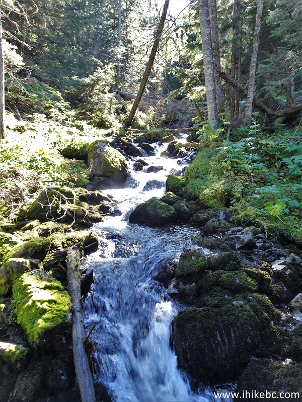
Creek View from Hagwilget Peak Trail
37. Looking the other way.
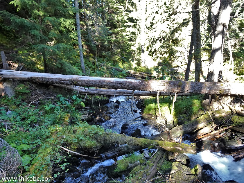
Hagwilget Peak Trail Creek View
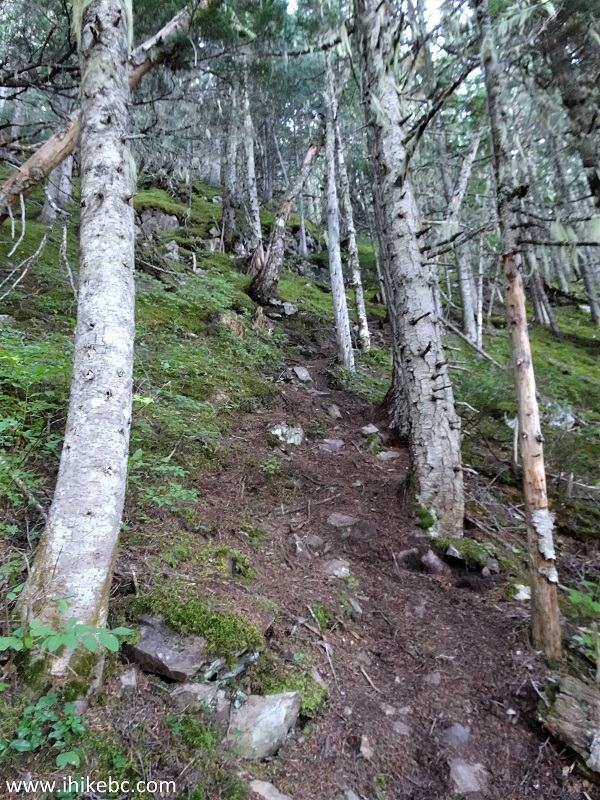
38. At the 450 meter mark of Hagwilget Peak Trail.
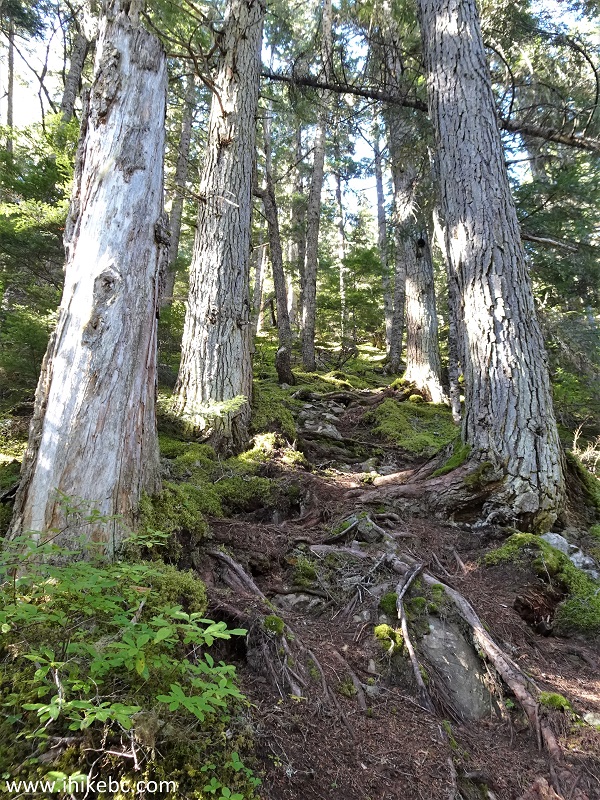
Hagwilget Peak Trail
39. Getting quite steep at 520 meters of the trail.
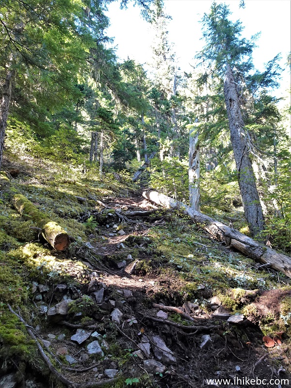
British Columbia Hiking - Hagwilget Peak Trail
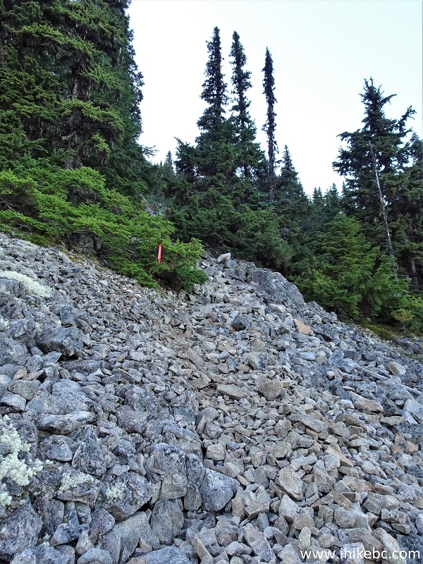
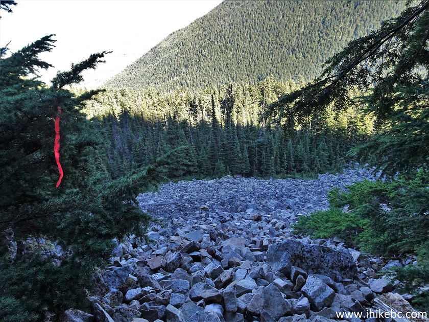
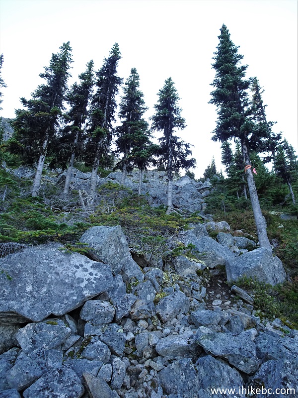
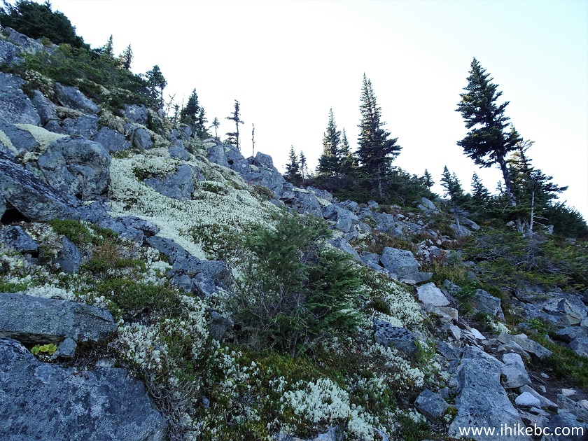
40. The first (and the largest at 300 meters long) boulder field arrives at the 710 meter mark.
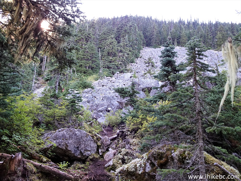
Hagwilget Peak Trail First Boulder Field
41. The boulders here are no joke, and it's steep too. Avoid if wet or, especially, icy.
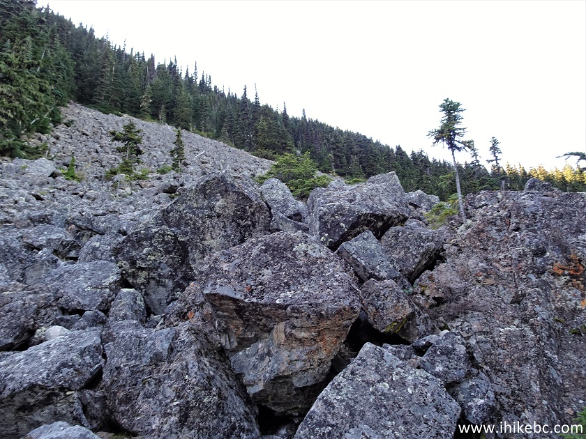
Boulders on Hagwilget Peak Trail
42. Looking left.
View from Hagwilget Peak Trail in British Columbia Canada
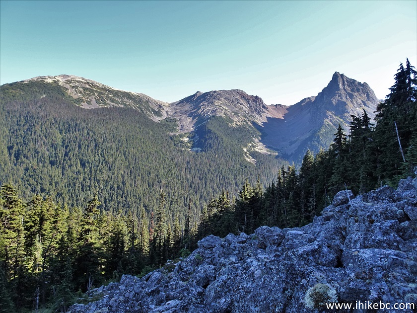
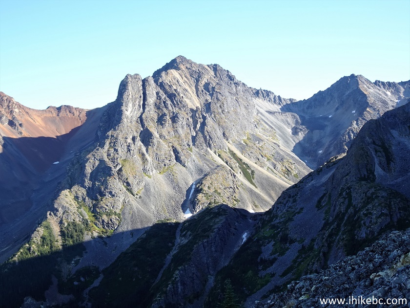
43. Zooming in. A neat mountain for sure.
British Columbia Mountain
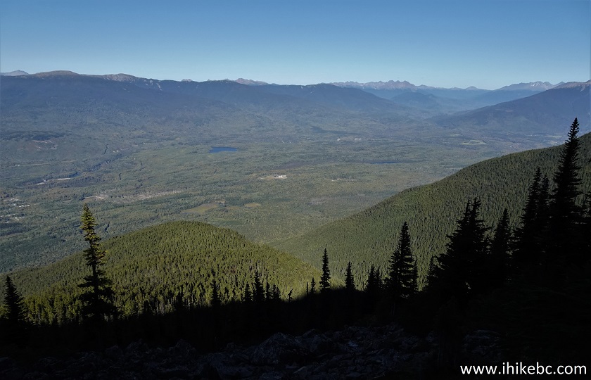
44. And, to the back, a valley starts to emerge.
Valley View from Hagwilget Peak Trail near New Hazelton BC Canada
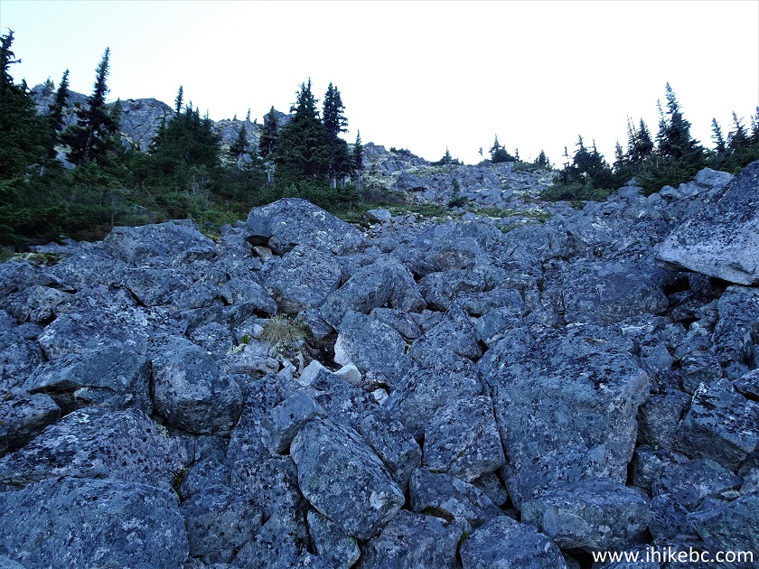
45. Still climbing through the first boulder field at 870 meters of the hike.
New Hazelton Hiking - Hagwilget Peak Trail
46. Looking back.
Hagwilget Peak Trail British Columbia Canada
47. Now looking forward at 910 meters.
Hagwilget Peak Trail Boulder Field
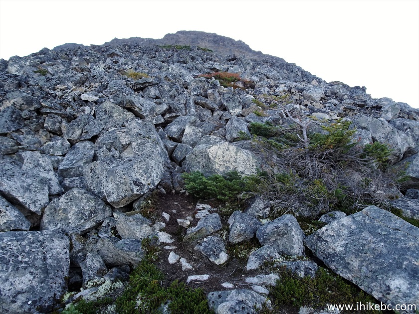
48. At 970 meters, we can finally see the end of this huge boulder field.
Hiking in Canada - Hagwilget Peak Trail
59. Here it is.
British Columbia Hiking
50. Hagwilget Peak Trail at the 1.02 km mark. Still very steep.
Hagwilget Peak Trail
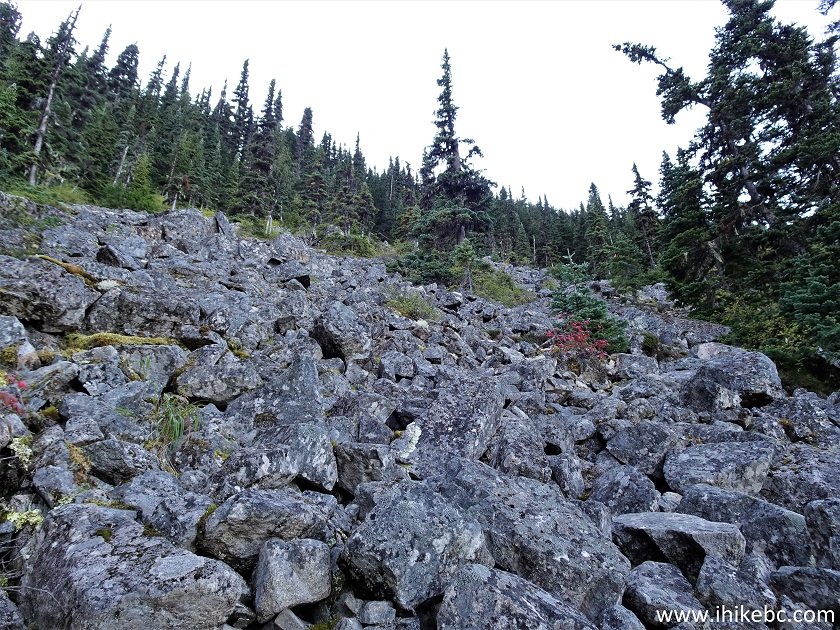
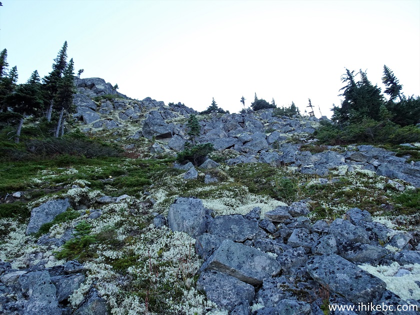
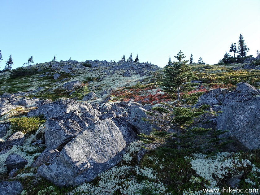
51. And here comes the second boulder field, though not as large as the first one.
Second Boulder Field - Hagwilget Peak Trail - New Hazelton Hiking
52. Still going through the second boulder field at 1.36 km of Hagwilget Peak Trail.
Boulder Field - Hiking in British Columbia - Hagwilget Peak Trail
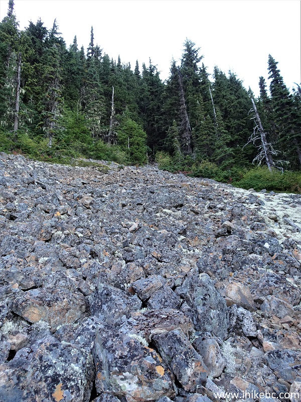
53. Closer to the end of the second boulder field.
Hike in British Columbia
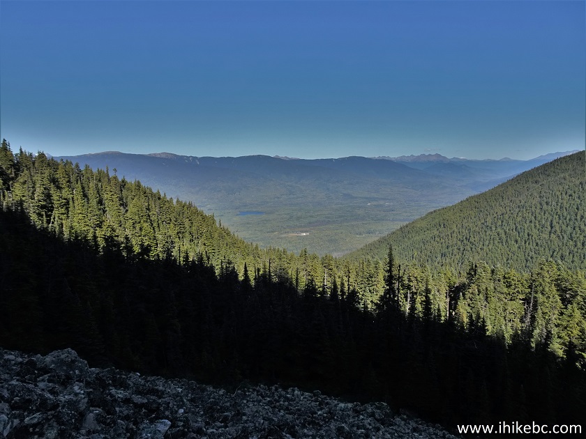
54. Another look at the valley, at 1.41 km of the hike.
Hike in Canada
55. Still steep.
British Columbia Hiking - Hagwilget Peak Trail
56. Neat.
British Columbia Nature
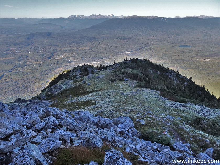
57. The trail gets easier for a little bit.
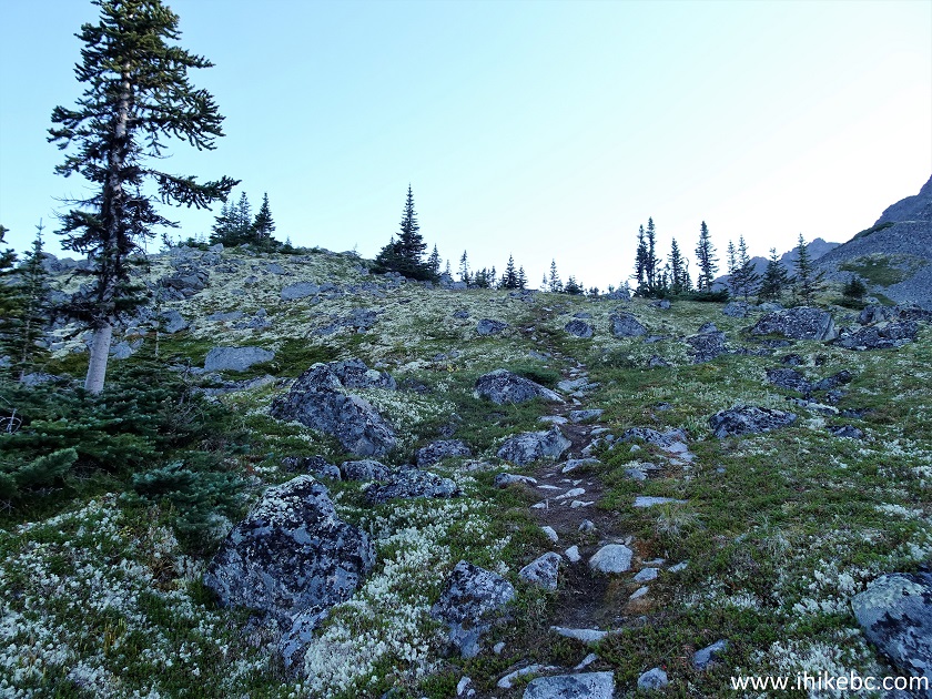
Hagwilget Peak Trail in New Hazelton BC Area
58. At 1.52 km, Hagwilget Peak is in front of us.
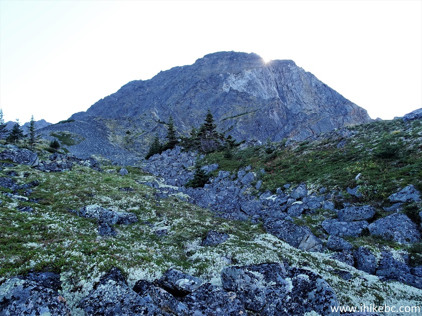
Hagwilget Peak
59. Looking back at the valley again.
Valley View from Hagwilget Peak Trail
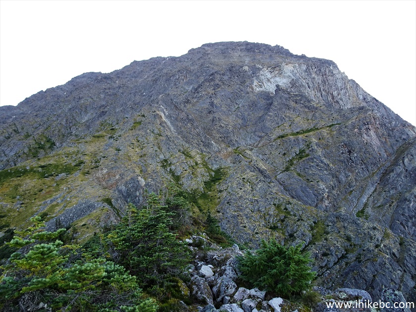
60. Getting closer to Hagwilget Peak.
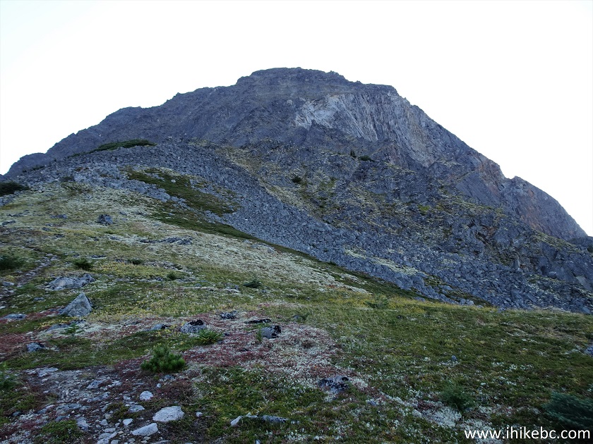
Hagwilget Peak British Columbia
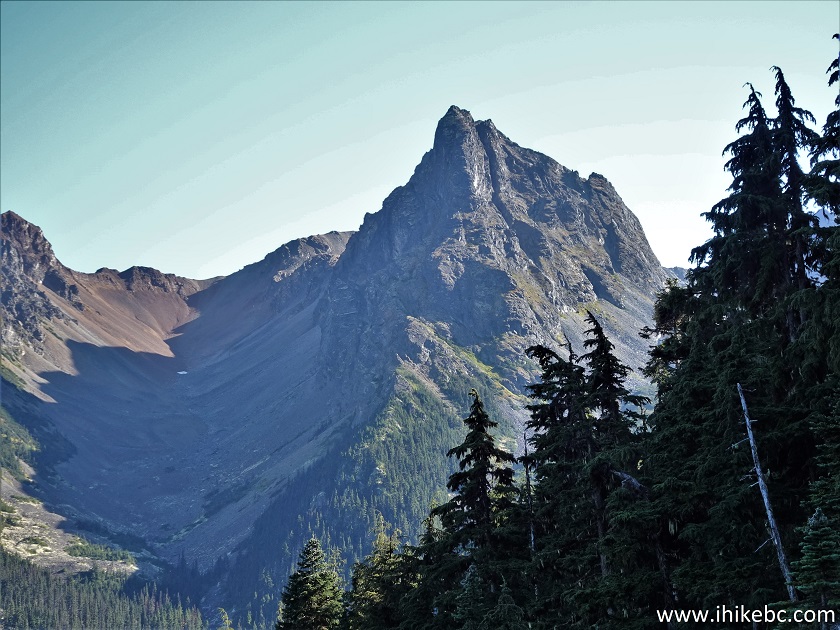
61-62. Looking left, we see that fine mountain again. Plain and zoomed view.
Mountains in British Columbia
British Columbia Mountain
63. The third boulder field at 1.79 km. Steep again.
Hagwilget Peak Hike Third Boulder Field
64. Looking back at where we came from.
Hagwilget Peak Hike in British Columbia Canada
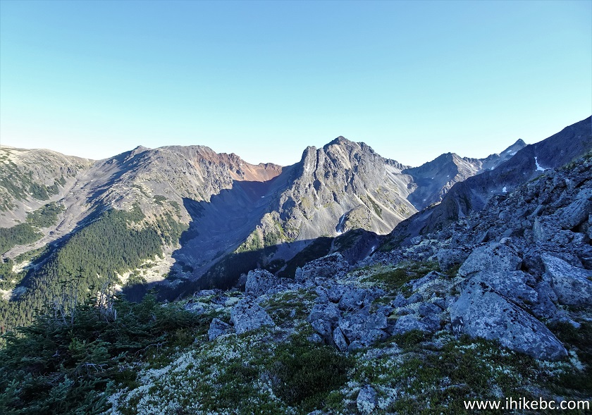
65. We are now at the 2.0 km mark of the trail, and this is where we stopped. Coordinates: N 55°12.331’ W 127°35.684’. Elevation: 1,555 meters. The average grade from the split with Station Creek Trail is about 30%. It appeared to be possible to actually climb Hagwilget Peak, but it sure looked exceedingly steep.
Hagwilget Peak BC
66. Looking right.
View from Hagwilget Peak Hike
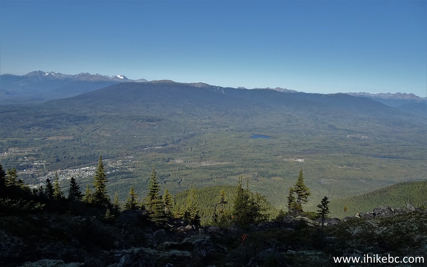
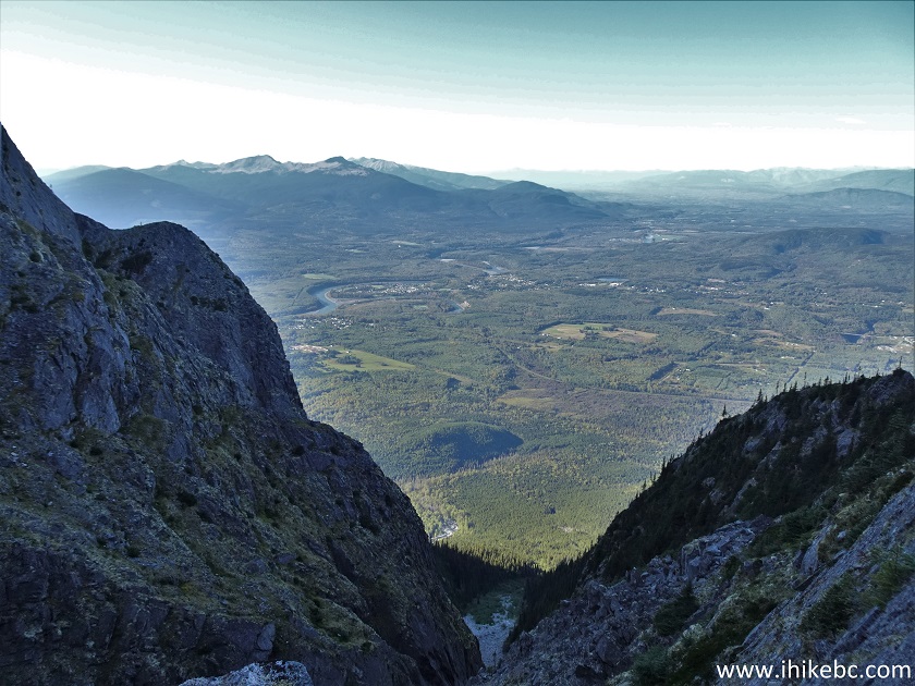
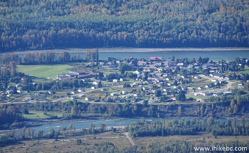
67-68. That's the town of Hazelton (located next door to New Hazelton) down there. Some zoom and much zoom. The confluence of Bulkley and Skeena rivers can be seen in the middle left of photo #67. The river then continues as Skeena past that point.
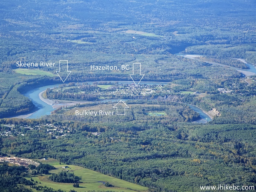
Skeena River, Bulkley River and Hazelton BC seen from Hagwilget Peak
Trail
Hazelton, BC
Here is our video of the
views from the end of the hike.
More ihikebc videos are on our YouTube Channel.
Despite being a very difficult hike, Hagwilget Peak Trail offers
several fine views. Recommended to experienced, well-equipped hikers.


|
 |
Other Trips:


![]()
![]()
![]()
ihikebc.com Trip 272 - Hagwilget Peak Trail Hike (Near New Hazelton BC) Page 2 of 2