![]()
![]()
![]()

Trip 022 - April 29, 2010 (Thursday)
Government Road & Squamish Valley Road
Squamish, British Columbia
Distance From Vancouver: 85-90 km via Highway 1 West and Highway 99 (Sea-to-Sky) North. Then, as you are driving on Highway 99 through Squamish, turn left onto Squamish Valley Road, or onto Government Road about 5 kilometers prior to that.
Liked: Views of Squamish River from Government Road, and meeting an otter. Spectacular glaciers seen from Squamish Valley Road.
Of note: Strong wind by Squamish River. Winding and requiring maintenance Squamish Valley Road.
Vancouver, Coast & Mountains Backroad Mapbook (2010 edition) Coordinates: Page 22 (Squamish) C7-C6-C5-B4-A3.
Follow @ihikebc Tweet
Having visited West Coast Railway Heritage Park, we proceeded with the original plan to see the eagles in Brackendale area of Squamish. So, we followed the signs, drove down Government Road, reached the eagle viewing area, and saw no eagles. There was an information stand explaining that in the spring the eagles fly into the woods. The best eagle watching months are, apparently, December and January. But we did enjoy the good views of Squamish River, and then played hide-and-seek with a camera-shy otter, who finally agreed to have its photo taken.
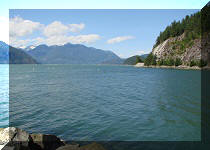
After that, with still plenty of time left in the day, we decided to check out Evans Lake. So, we drove further down Government Street, passed the Squamish Airport, and turned onto Squamish Valley Road. We missed the turn to Evans Lake, but ended up handsomely rewarded with an amazing view of two nearby glaciers. Driving further down Squamish Valley Road, we ended up on the Squamish River Forest Service Road, described in our next trip.
1. Here is a photo of a free map you can get at the Squamish Adventure Centre (by Highway 99), with notes relating to our trip.

Map of Greater Squamish British Columbia Canada
2. A sign is guiding us to the eagle watch area.
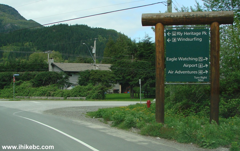
Squamish British Columbia Canada
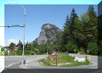
3. A map at the eagle watch area, of which there are a few in Greater Squamish.
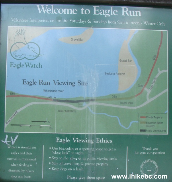
Eagle Run Map on Government Road Squamish BC Canada
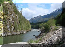
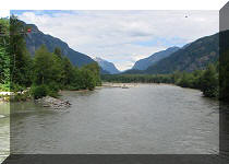
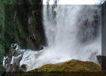
4. Very picturesque Squamish River...but no eagles in sight. Do seagulls count?
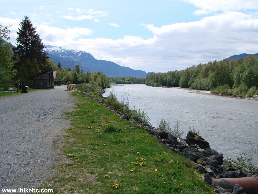
Squamish River by Government Road Squamish British Columbia
Canada
5. Here is a large information board. It said the eagles fly into the woods in the Spring.
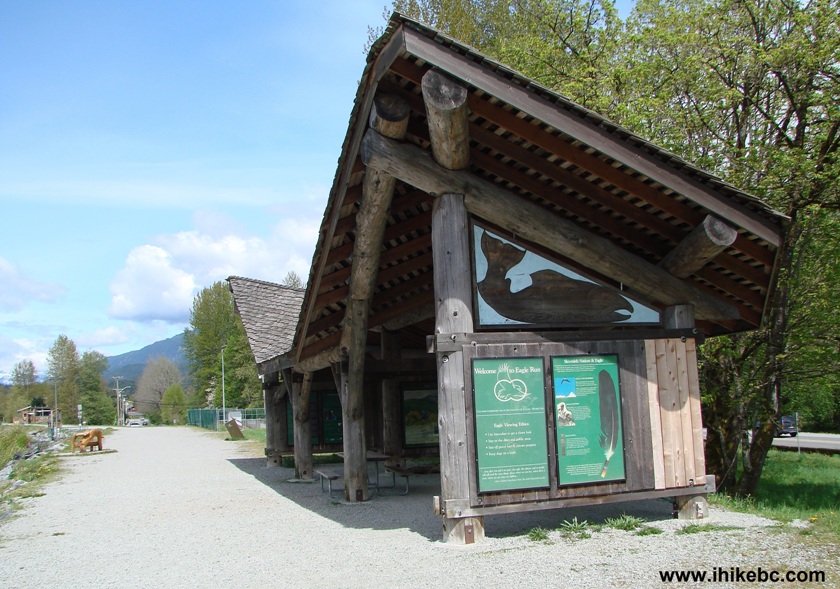
Eagle Watch Information Stand - Brackendale area of Squamish BC
6. Squamish River again. Looking the other way.
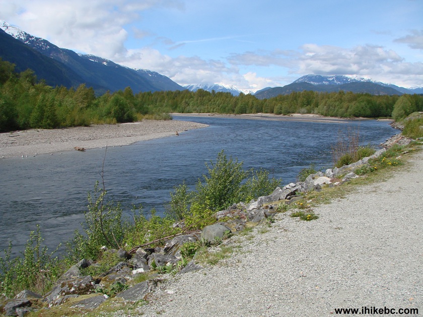
Squamish River in Brackendale
7. In lieu of the eagles, this otter finally acquiesced to have its photo taken.
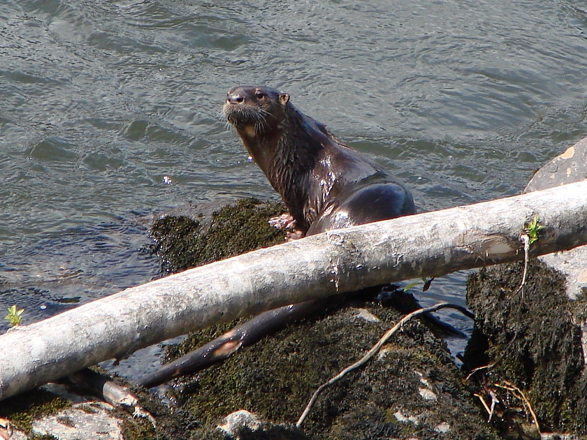
Otter in Squamish River in Brackendale area of Squamish British Columbia
Canada
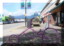
8. An eatery by the eagle watch place. Looks very natural.
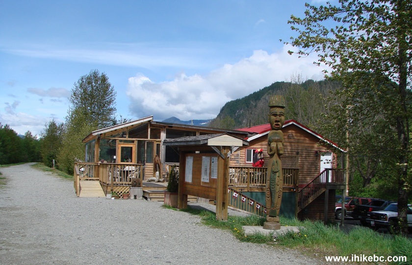
Food establishment on Government Road in Squamish British Columbia
Canada by eagle watch
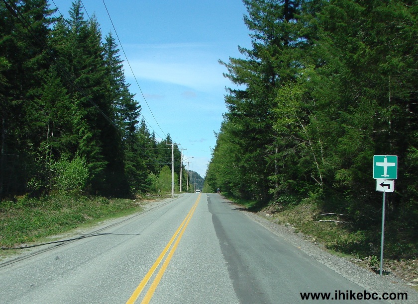
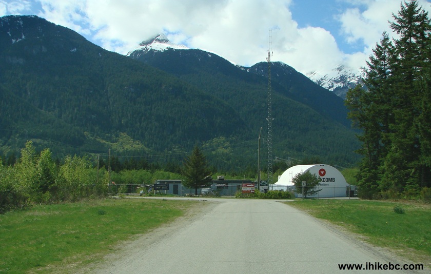
9. We continued driving down Government Road. 10. About five minutes later, we have reached Squamish
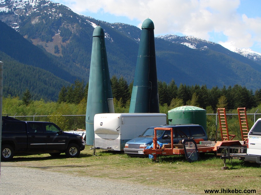
Airport. 11. A scene at the Squamish airport (CYSE). 12. Pretty much right after the airport, Government
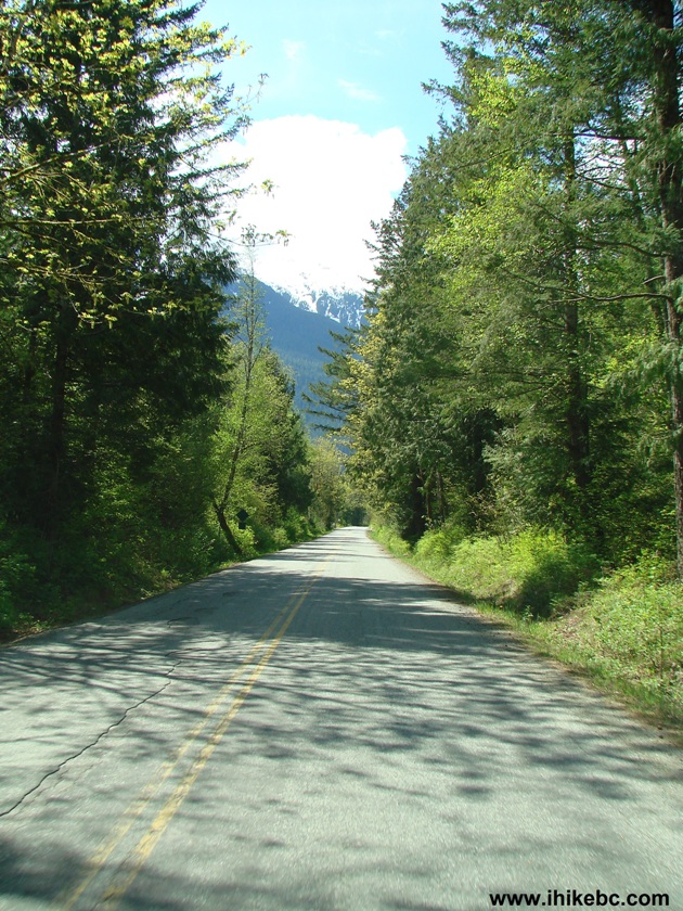
Road meets with Squamish Valley Road, which looks fairly ordinary for a
while, and has private residences on both sides, followed by empty
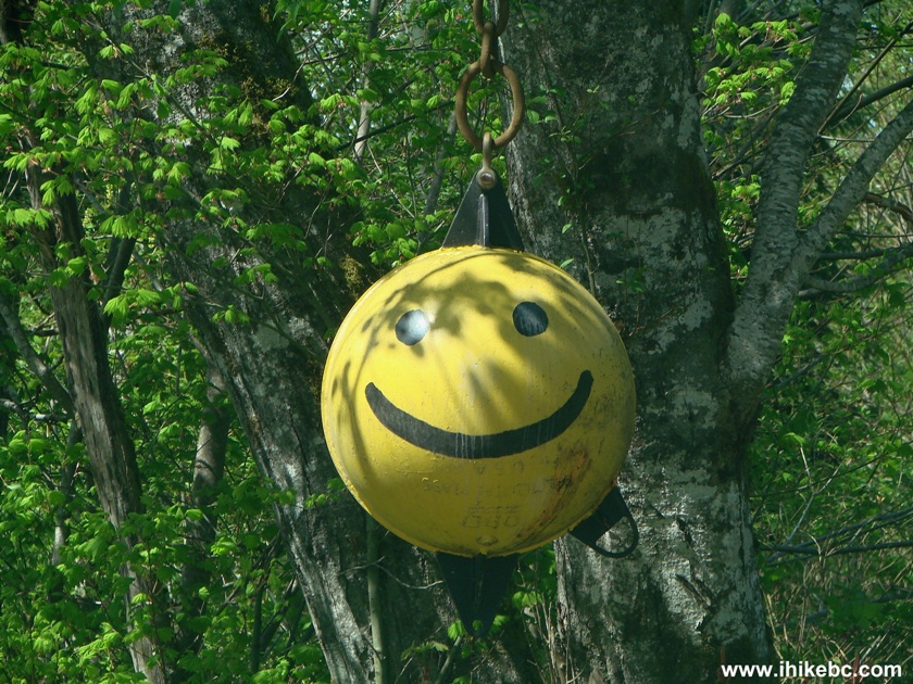
spaces filled with trees, rocks, and other natural items. 13. "Hey, man, how do I find where you live?" "Drive
down Squamish Valley Road and look for a smiley face!" Seriously, well
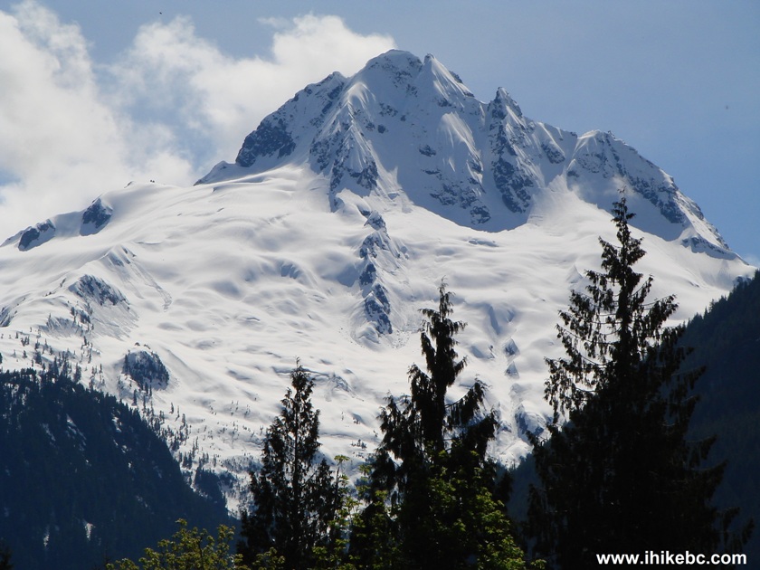
done! 14. And then there was time to hit the brakes, get
out, and start staring. The camera simply can't capture the contrast the
way an eye can, and in person this picture
looks even better. 15. Thank you, zoom, for letting us better appreciate the
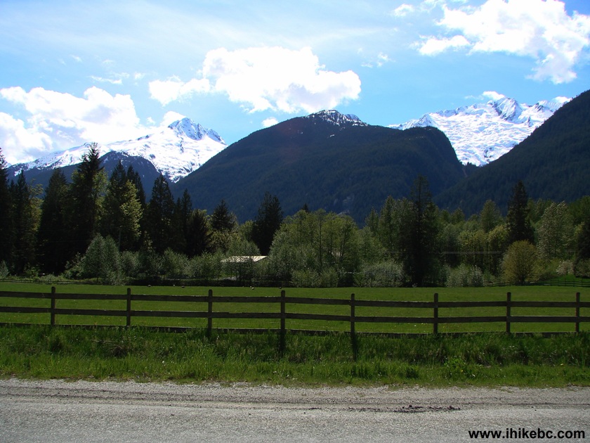
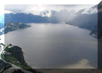
natural beauty around us. 16. And the second glacier. 17. These fine examples of Beautiful British Columbia
are right next to Glacier Valley Farm, pictured below. To reach the
glaciers, it takes about 20 minutes of driving on Squamish Valley Road
after it meets Government Road. In about ten minutes after that, Squamish Valley Road
ends, and Squamish River Forest Service Road begins.
Other Trips in Squamish Area:
Other Trips:
Government Road Squamish BC Canada
Squamish Airport
CYSE
Airport Squamish BC Canada
Squamish Valley Road
Smiley Face by Squamish Valley Road British Columbia Canada
Glaciers seen from Squamish Valley Road
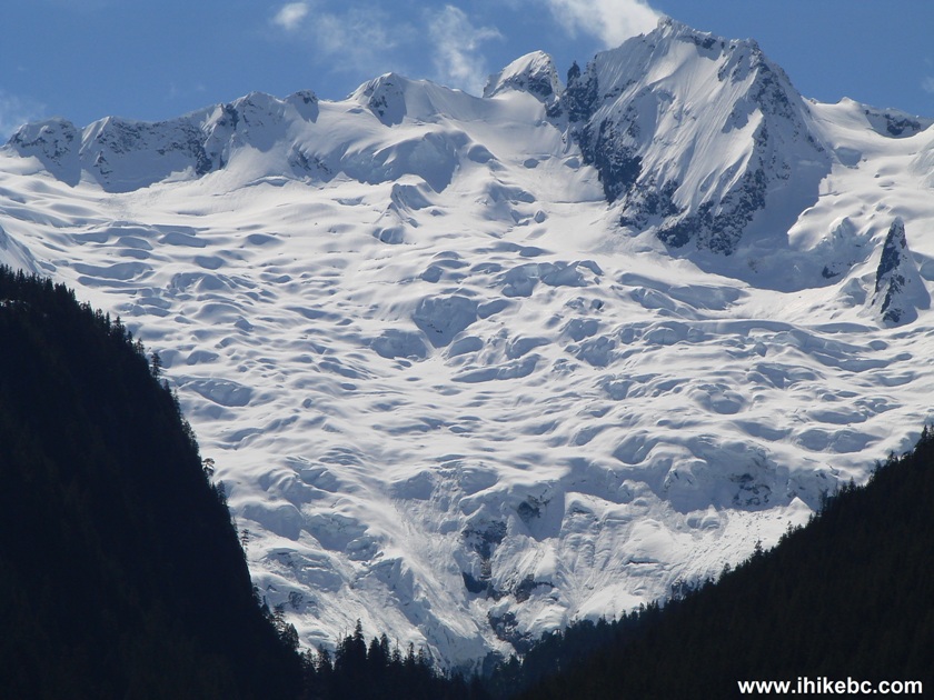
Squamish Valley Road Glacier British Columbia Canada
Glacier near Glacier Valley Farm
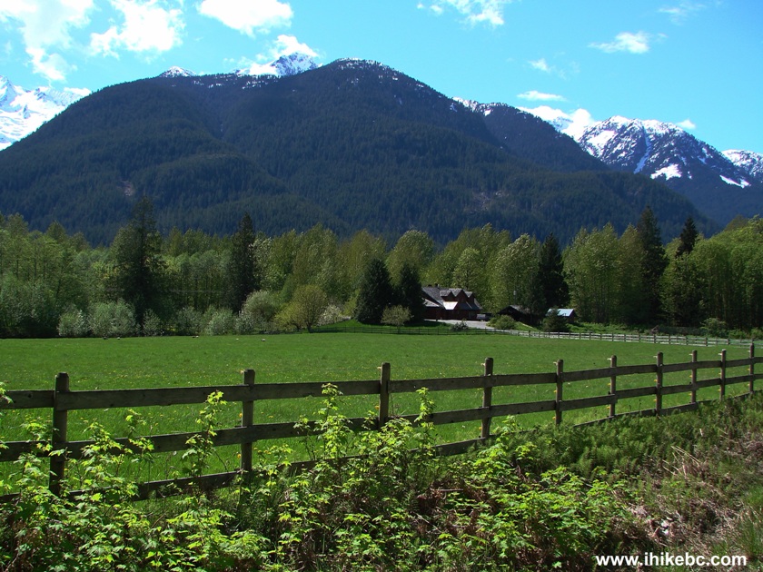
Glacier Valley Farm near Squamish British Columbia Canada


Mamquam River FSR

Seed Peak Trail


![]()


![]()
![]()
![]()
![]() Trip 022 - Government Road & Squamish Valley Road
(Squamish BC)
Trip 022 - Government Road & Squamish Valley Road
(Squamish BC)