![]()
![]()
![]()

Trip 115 - August 1, 2016 (Monday)
Bootski Lake Trail Hike
Near Tumbler Ridge BC
Page 1 of 2
Trailhead Location: Northeastern British Columbia, approximately 87 kilometers Southeast of the town of Tumbler Ridge off
Highway 52E.
Liked: Mountain and lake views, few bugs. The access road is quite smooth until the last 12 kilometers, but is passable in a medium-clearance 2WD vehicle all the way to the trailhead.
Of note: Remote wilderness area, some parts of the trail are steep, several creek crossings required, the lake could be somewhat difficult to find, the last 12 kilometers of the access road are full of large potholes, hiking boots and poles are highly recommended (or essential, if you decide to climb the mountain by the lake). The mountain by the lake is for experienced and properly equipped hikers only - avoid the final narrow ridge if windy or wet.
Northern BC Backroad Mapbook (3rd edition) Trailhead Coordinates: Page 29 (Monkman Provincial Park) G1.
Related Website: WNMS Bootski Lake Hiking Route Brochure (PDF file).
Bootski Lake Trail is located off Wapiti Forest Service Road, which branches off Ojay Forest Service Road, which starts off Highway 52E approximately 71 kilometers Southeast of Tumbler Ridge in Northeastern British Columbia. The trail is steep at times, but leads to great views, especially if you are experienced and equipped enough to climb the mountain near the lake.
1. We start with the photo of the Tumbler Ridge area map, which used to be located next to the old visitor centre in Tumbler Ridge. The red arrow shows the turnoff from Highway 52E onto Ojay FSR, and the yellow arrow shows the Bootski Lake trailhead.
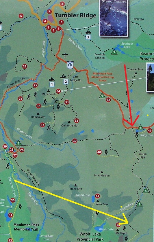
Tumbler Ridge BC area map
2. Here is that turnoff from Highway 52E onto Ojay FSR. It is located just over kilometer past the turnoff to Kinuseo FSR, which we covered in our previous trip report. Please, note, that on many maps Ojay FSR is still listed as Wapiti FSR, but the name has changed, and Wapiti FSR is now the road which branches off Ojay FSR at the 25 km mark.
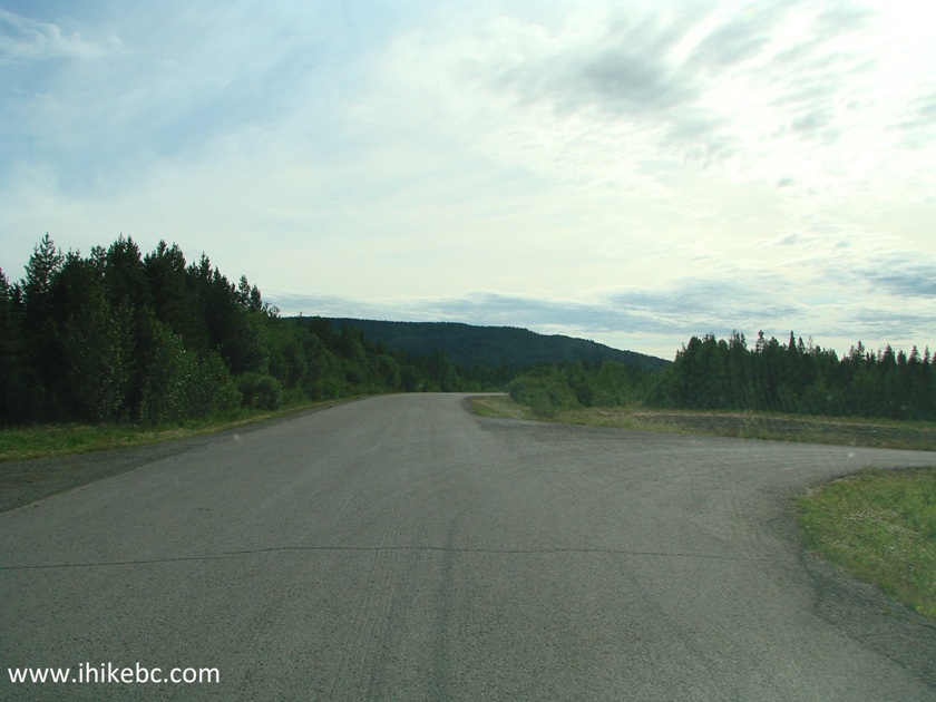
BC Highway 52E turnoff to Ojay Forest Service Road
3. Ojay Forest Service Road. Stay right at the split at 7.3 km mark (not pictured).
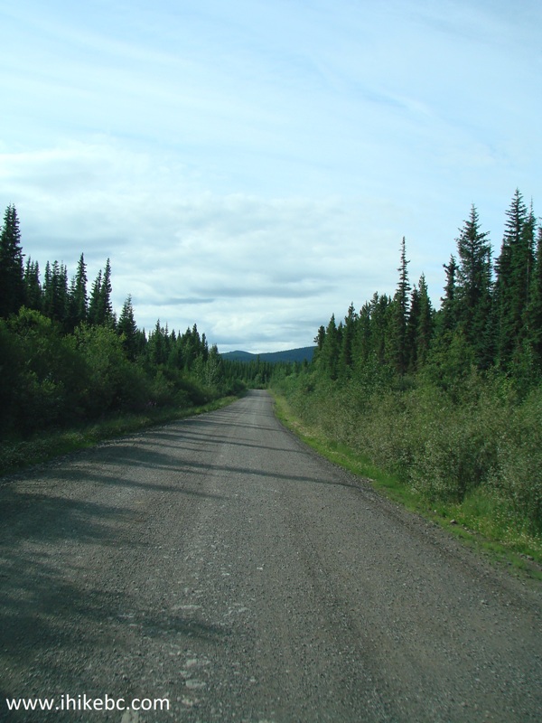
Ojay Forest Service Road near Tumbler Ridge British Columbia Canada
4. At the 25.0 km mark, take the road to the right (this is the beginning of Wapiti FSR). Zero your odometer at the split.
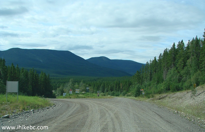
Ojay FSR split with Wapiti FSR
5. At the 5.0 km mark from the split, right after Wapiti West Recreation Site, there is a bridge.
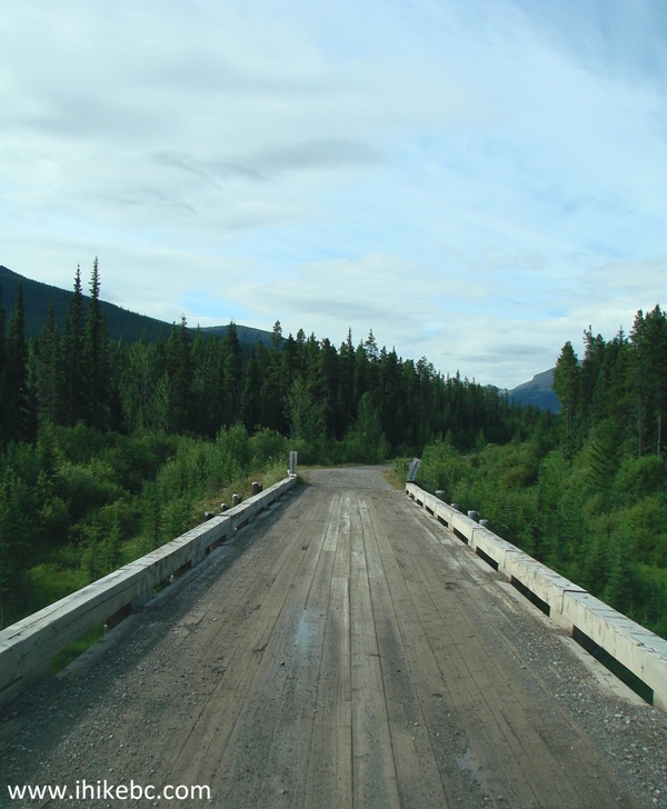
Bridge on Wapiti Forest Service Road British Columbia Canada
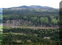
6. The bridge features a neat view to the right.
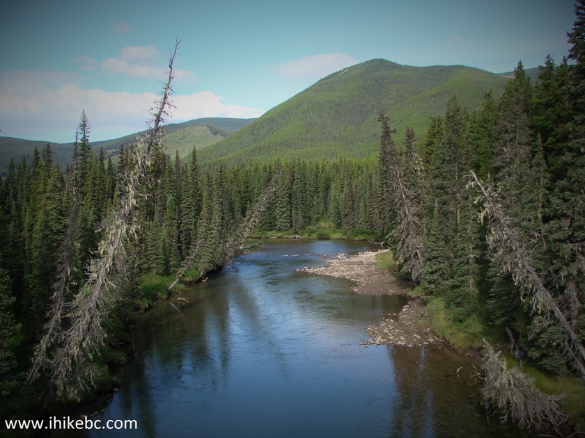
View from the bridge on Wapiti FSR
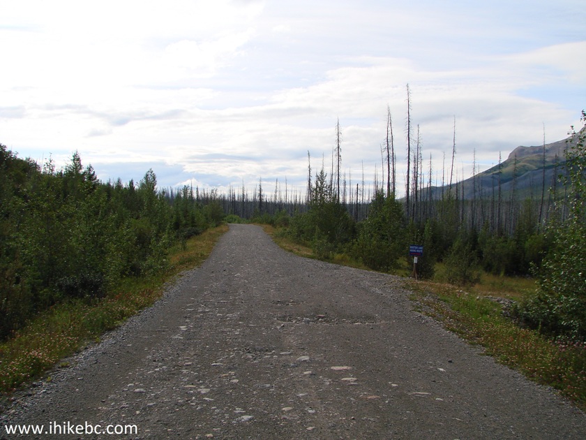
7. One of the many potholes on Wapiti Forest Service Road.
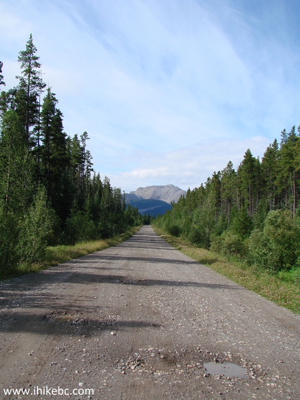
Wapiti Forest Service Road Northeastern British Columbia Canada
8. An abandoned shack is located on the left side of Wapiti FSR at the 5.7 km mark.
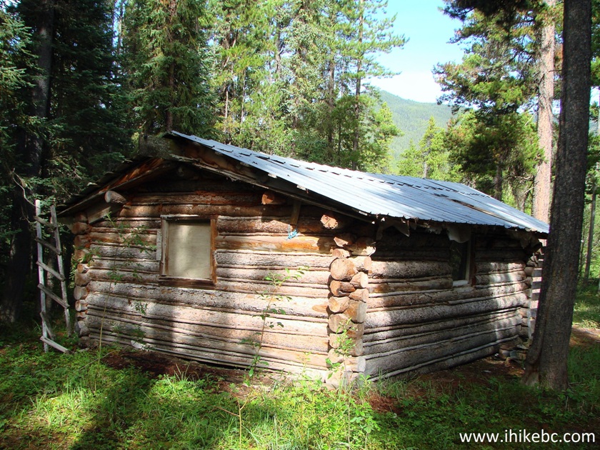
Shack off Wapiti FSR
9. Inside the shack.
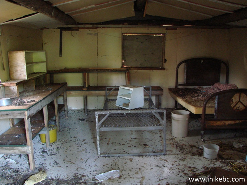
Inside the shack off Wapiti Forest Service Road near Tumbler Ridge BC
Canada
10. At around the 10.7 km mark, a great mountain view serves as a sign of things to come for Bootski Lake Trail hikers.
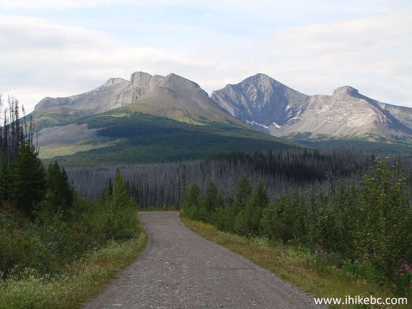
Mountain View from Wapiti FSR
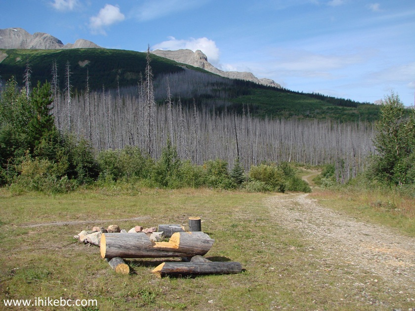
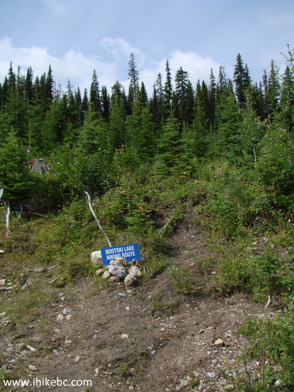
11. The turnoff to Bootski Lake trailhead is on the right side at the 12.0 km mark.
Wapiti FSR at Bootski Lake trailhead
12. The trail starts right after the turnoff. Coordinates: N 54⁰35.212' W 120⁰37.398'. Elevation: 1,261 meters. If you have an ATV and the creeks ahead are not in flood, you may drive much further.
Tumbler Ridge Trail -
Bootski Lake trailhead Northeastern British Columbia Canada
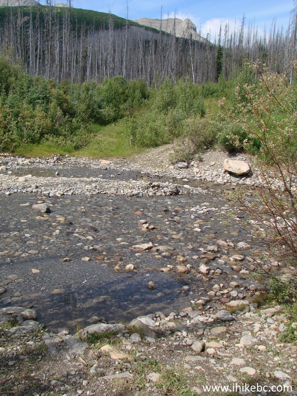
13. The first creek crossing soon after the start of the hike.
Tumbler Ridge Hike -
Creek crossing Bootski Lake trail
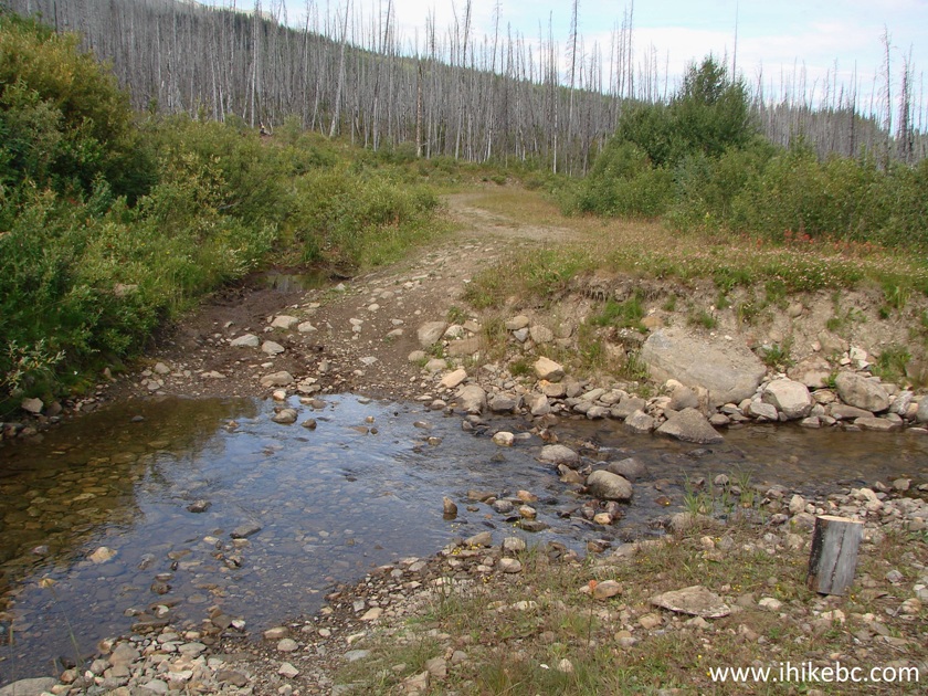
14. The second, much larger creek crossing, follows shortly thereafter. We managed to hop on stones, but wading would be the only option, if the water level is higher.
Large creek crossing Bootski Lake Province of BC Canada - Tumbler Ridge
Hiking
15. Fifty minutes into the hike, the hiking trail makes a right turn seen in the photo below. Coordinates: N 54⁰35.254' W 120⁰38.973'. Elevation: 1,441 meters.
Bootski Lake trail - Hike in Tumbler Ridge Area
16. The view immediately after the turn.
Bootski Lake trail near Tumbler Ridge BC Canada - Hiking in Tumbler
Ridge Area
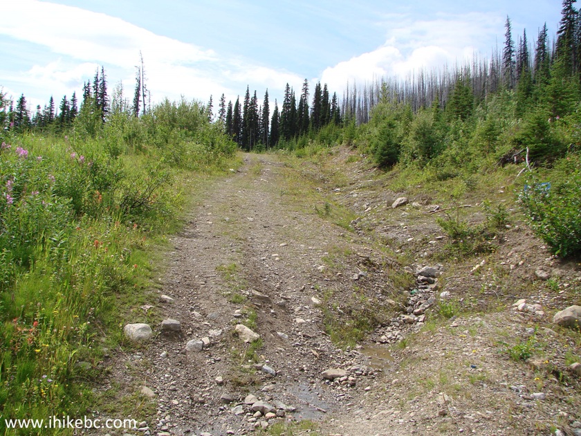
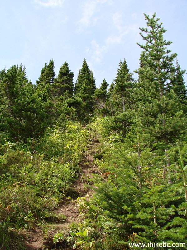
17. This is where it starts getting steep on occasion.
Bootski Lake trail - Hiking in Tumbler Ridge area Northeastern British
Columbia
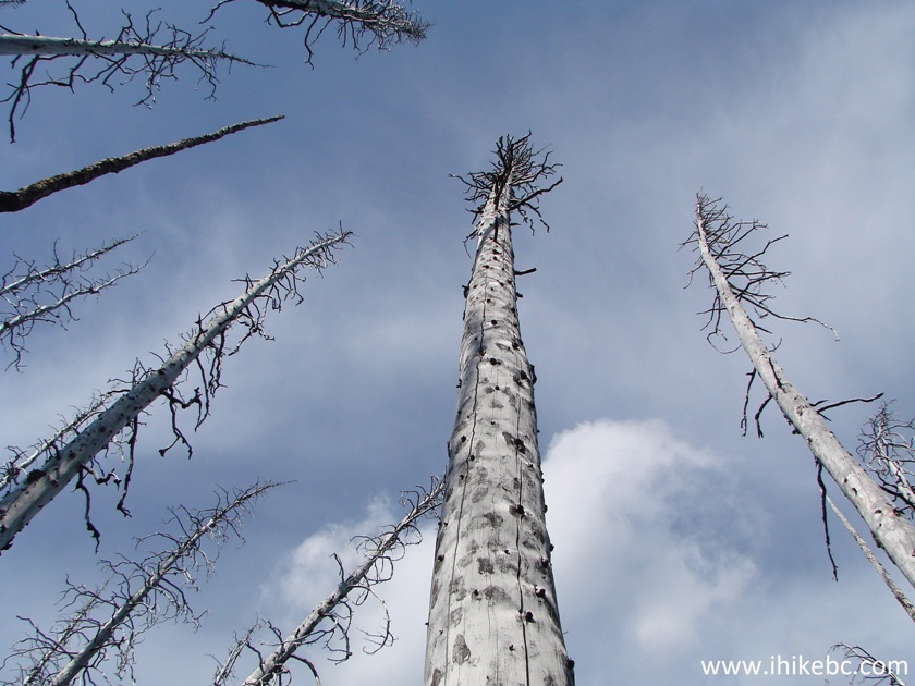
18. The trail goes through a burned forest...
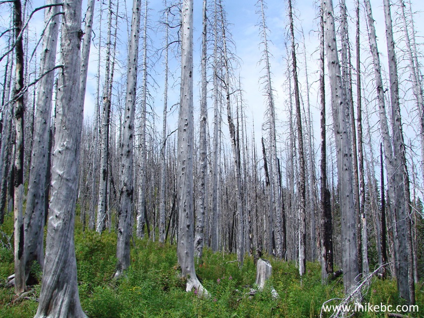
Burned Forest - Tumbler Ridge Area Hiking - Bootski Lake Trail
19...
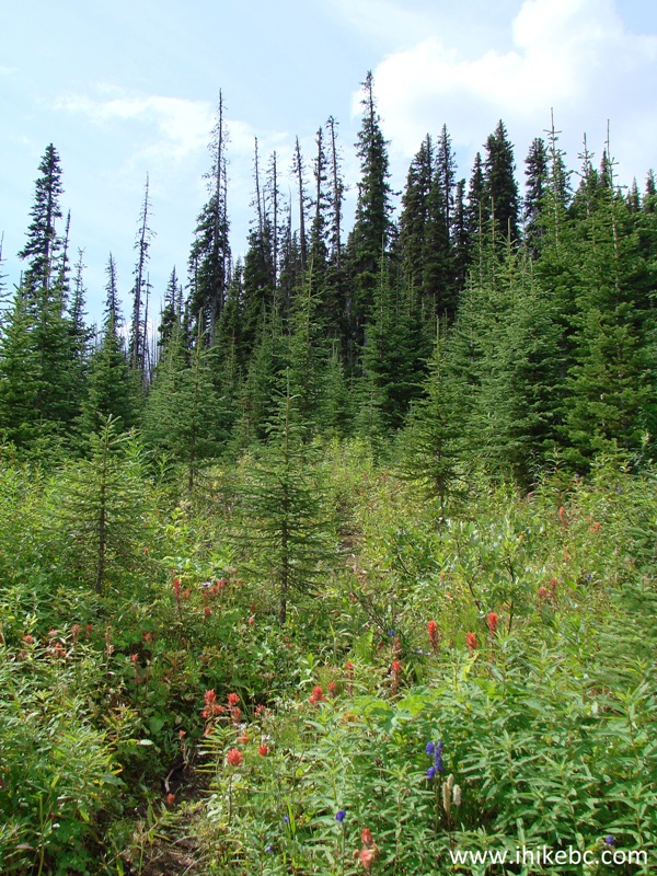
20. And, then, through an unburned forest again.
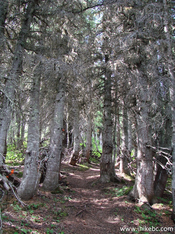
Bootski Lake Hiking Trail - Hike in British Columbia
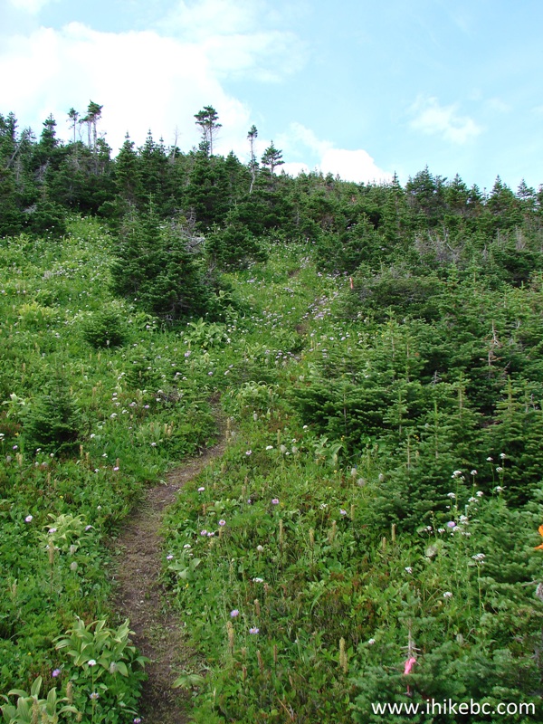
21. Getting closer to the alpine.
Hiking Bootski Lake Trail near Tumbler Ridge - BC Hiking Canada
22. One hour and forty-five minutes into the hike, we are nearly at the alpine. Remember the stones seen on the far end of the photo below. This is your landmark for getting back into the forest - route marks in the alpine are not very plentiful, and it's a rather large (though uncomplicated) area. Coordinates for the stones (cairn): N 54⁰34.887' W 120⁰39.571'. Elevation: 1,732 meters.
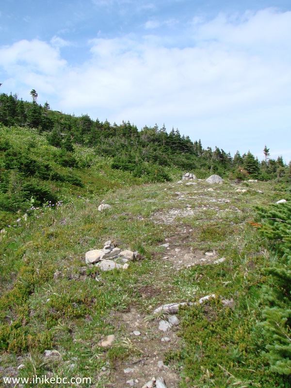
Bootski Lake Trail - Tumbler Ridge Area Hiking
23. Make a sharp left upon reaching those stones, hike a bit further...
 Z
Z
Hike in Canada
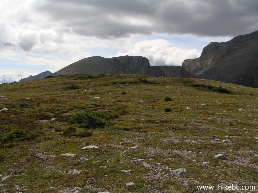
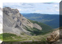
24. ...and here is the alpine, with a great mountain view straight ahead. Coordinates: N 54⁰34.817' W 120⁰39.668'. Elevation: 1,784 meters.
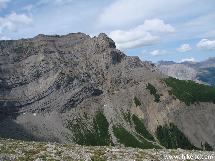
Mountain View Bootski Lake trail
25. Looking back to where we came from. The trailhead is more to the right, and is not seen in the photo below.
BC Hiking - View from Bootski Lake Route near Tumbler Ridge
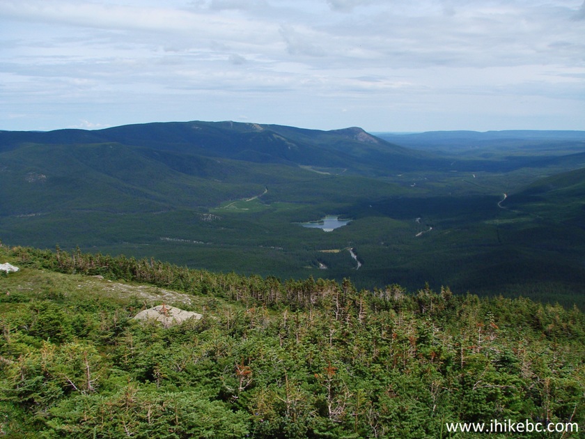
26. We had a hard time finding the lake. It turns out that it's located at the approximately 10 o'clock position once you get to the alpine. In the photo below, the lake would be under the smaller mountain (in the far middle of the photo) surrounded by larger mountains.
Alpine Area - Bootski Lake Route near Tumbler Ridge British Columbia
Canada
27. We decided to climb the mountain seen on the left side of the photo above. We started the ascent on the left side, and ended up on the far right side of the mountain, from where we could finally see the lake.
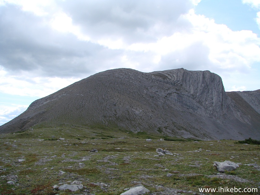
Tumbler Ridge Hiking - Bootski Lake Route
Our Bootski Lake Trail Hike Trip Report Continues on Page 2.


|
 |
Other Trips in Tumbler Ridge BC Area:
|
|
|
|
|
|
|
|
|
|
|
|
|
|
|
|
|
Bergeron
Cliffs Hike
|
 |
Stone Corral Trail  |
|
Windfall Lake Trail
|
 |
Mount Clifford Trail |
|
Murray Canyon
Overlook
|
|
Quality Canyon Trail  |


Other Trips:


![]()


![]()
![]()
![]()
ihikebc.com Trip 115 - Bootski Lake Trail Hike (near Tumbler Ridge BC) Page 1 of 2