![]()
![]()
![]()

Trip 232 - September 6, 2021 (Monday)
Porcupine Creek Route Hike
Near Clinton, British Columbia, Canada
Page 1 of 2
Liked:
Picturesque trail access road, mountain and valley views, numerous good forest scenes, a fine sub-alpine area, shade in the forest, no bugs, fairly easy trail until the last climb before the alpine.
Of Note: A
high clearance and/or 4x4 vehicle may be required for trailhead access road, burned trees at the start and closer to the end of the trail could be unstable, several small creek crossings required, the trail could be difficult to follow at times – GPS with a trail ribbon recommended, a few holes in the ground – watch your step, a steep climb is required to reach the sub-alpine - hiking poles and boots are essential.Cariboo Chilcotin Coast BC Backroad Mapbook (4th edition) Trailhead Coordinates: Page 5 (Big Bar Creek) E4.
Porcupine Creek Route Hike is an easy-to-moderately challenging trail (albeit with a very steep climb closer to the end), and leads to a fairly large sub-alpine area. It's 6 km to the sub-alpine, and then another 4 km to hike a very obvious loop in the sub-alpine, before heading back, for a total round-trip hiking distance of 20 km. The trailhead is found not too far from the town of Clinton, British Columbia, which is located on Highway 97 between Cache Creek (to the South) and 100 Mile House (to the North). It's an interesting hike for several reasons. The views are quite good, but also there are several trail splits with signs indicating that further hiking is also possible to Mt. Soues and Sam's Cabin.
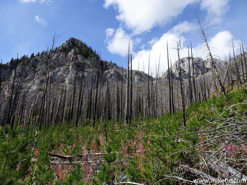
Porcupine Creek Route starts as Porcupine Creek Trail, which is marked as such in our GPS with Backroad Mapbook software. However, a forest fire a few years ago made quite a mess closer to the sub-alpine, so, instead of turning left at about the 5 km mark to follow the trail ribbon in the GPS until the end, we figured it looked much easier to climb on the opposite (right) side, not knowing what to expect. It turned out that very fine views awaited in the sub-alpine area once we got there, so the Porcupine Creek Trail hike would have to wait for another day, and this would be more appropriately named Porcupine Creek Route hike.
Getting to the trailhead is straightforward. Once in Clinton, turn onto Kelly Lake Road from Highway 97. Then, 16.5 km later, turn right onto Jesmond Road, and, 5.5 km after that (22.0 km from Hwy 97), turn right onto Porcupine Creek trailhead access road. Any vehicle would make it to the beginning of the trailhead access road, but the 4.7 km-long access road has some deep ruts, so a medium clearance and, possibly, a 4x4 might be required. We made it to the trailhead in a 2WD medium/high clearance vehicle without any major issues, but the road was quite dry, with only one minor muddy spot.
The trail itself is not too hard, though a nearly 900-meter climb to reach the sub-alpine presents a good challenge. There are also three small creek crossings, which might become a problem during the spring run-off or after a heavy rain. Finally, a few parts of the trail are somewhat overgrown or damaged by fire, so a GPS with a trail ribbon might prove useful. Oh, and there is a large bear running around in that area, but that's to be expected.
1. We are Northbound on BC Highway 97, with Cache Creek behind us, and the Village of Clinton 32 kilometers ahead.
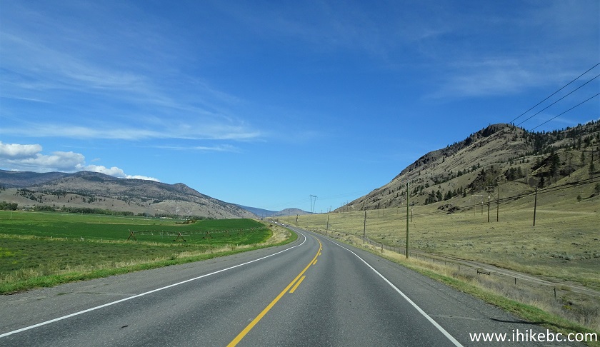
BC Highway 97 North between Cache Creek and Clinton
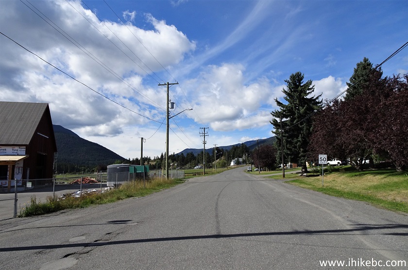
2. Entering the Village of Clinton.
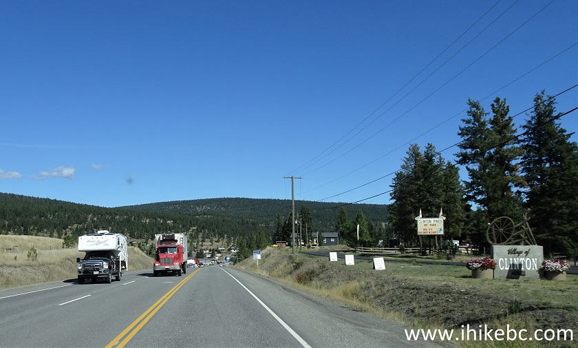
BC Highway 97 North at Clinton
3-4. Very shortly, make a left turn onto Kelly Lake Road and zero your odometer.
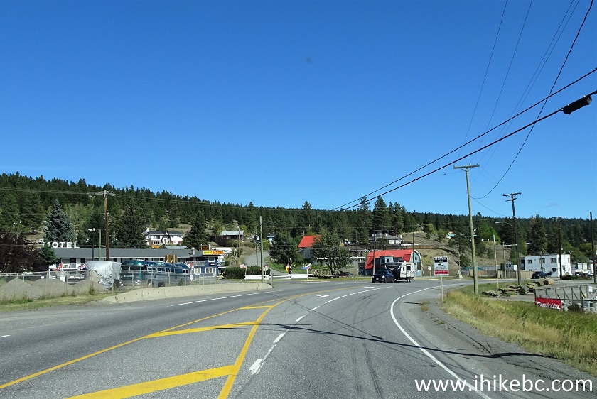
BC Highway 97 North Approaching Kelly Lake Road in Clinton
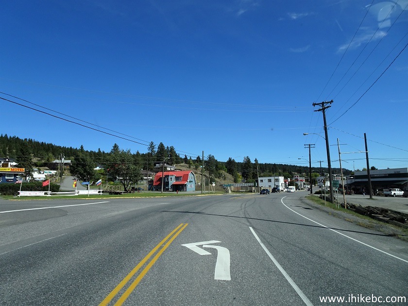
BC Highway 97 North
at Kelly
Lake Road in Clinton British Columbia Canada
5. Kelly Lake Road immediately after turning from Highway 97. Coordinates: N 51
⁰05.353' W 121⁰35.565'. Elevation: 889 meters.
Kelly Lake Road in Clinton BC
6. Kelly Lake Road at 1.0 km.
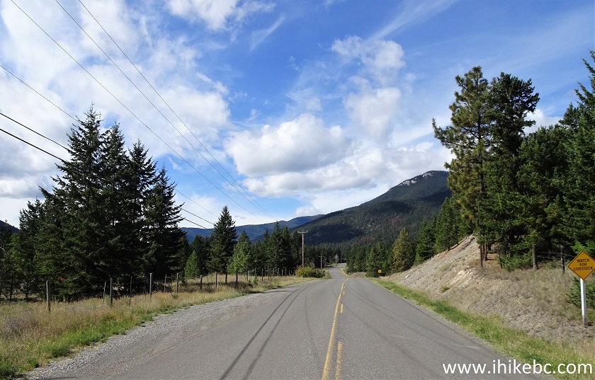
Kelly Lake Road Near Clinton
British Columbia Canada
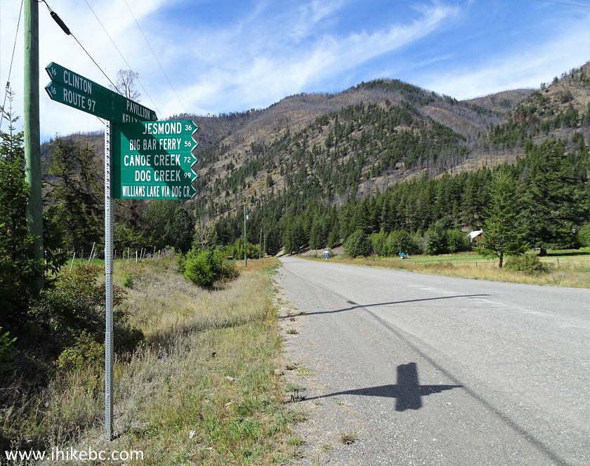
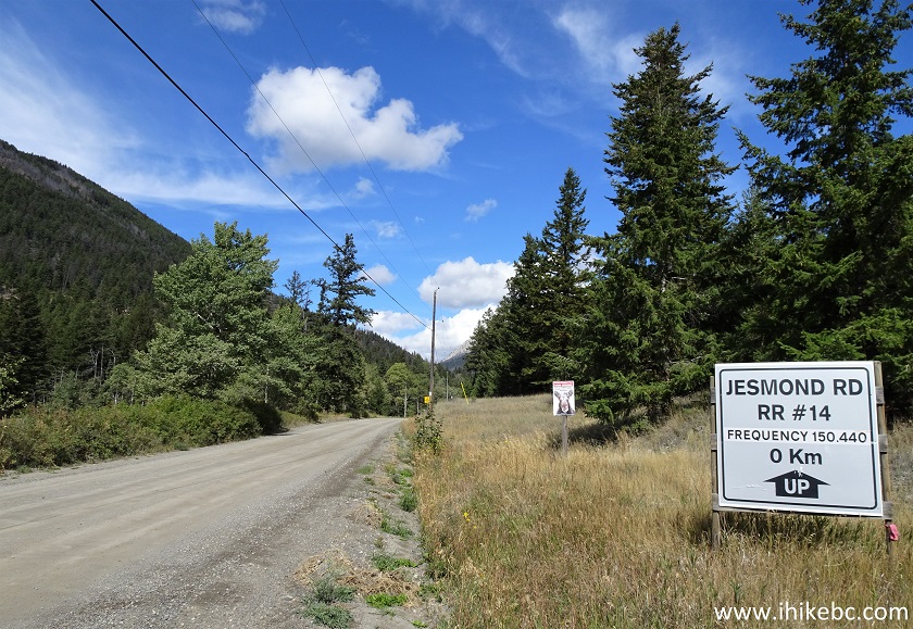
7. At 16.5 km from Highway 97, make a right turn onto Jesmond Road.
Kelly Lake Road at Jesmond Road
8. Jesmond Road directory.
Jesmond Road Directory near Clinton British Columbia
9. Jesmond Road immediately after turning from Kelly Lake Road.
Jesmond Road near Clinton BC Canada
10. Kelly Lake Road is asphalt with some small potholes, and Jesmond Road is hard gravel. Here it is at 1.4 km from Kelly Lake Road.
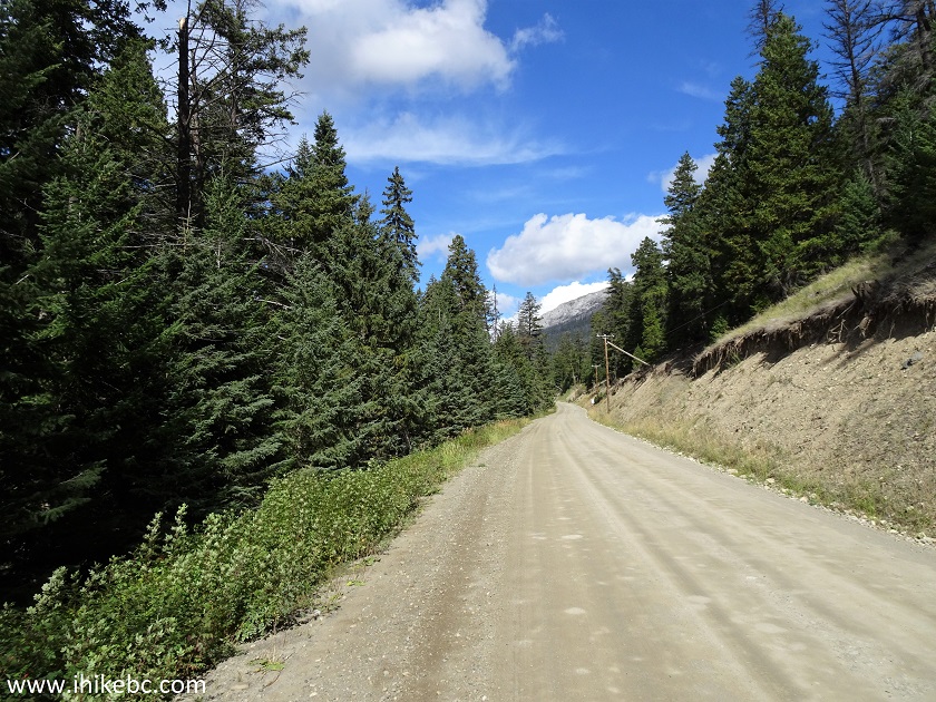
Jesmond Road British Columbia
11. At 5.5 km of Jesmond Road (22.0 km from Highway 97), make a right turn onto Porcupine Creek trailhead access road. Interestingly enough, Backroad Mapbook software directs you to proceed further for about 2 kilometers, but the access road there is very bad, so use this one. Coordinates:
N 51⁰03.008' W 121⁰48.650'. Elevation: 1,249 meters.
Jesmond Road at Porcupine Creek Trailhead Access Road
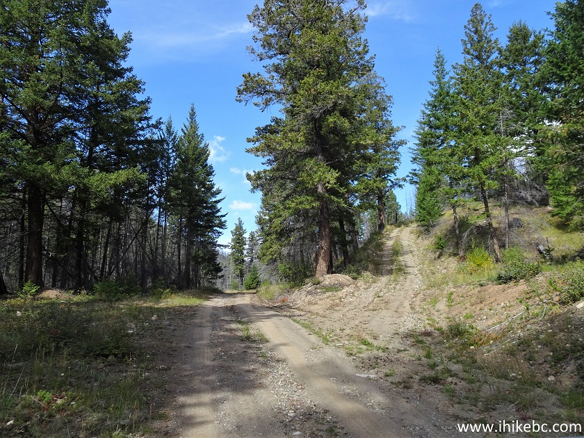
12. A medium/high clearance and/or 4x4 vehicle may be required from this point on. The access road starts, and, right away, there is a split. Keep left.

Porcupine Creek Trailhead Access Road near Clinton British Columbia
13. Another split comes at 1.2 km of the access road - keep left again.
Porcupine Creek Trailhead Access Road
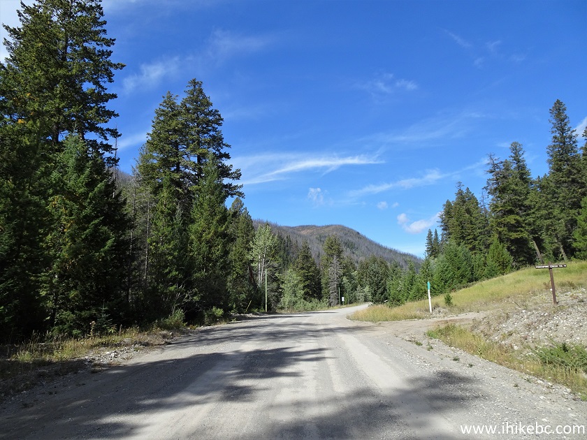
14. Porcupine Creek trailhead access road has several very good views. Here is one at 2.7 km.
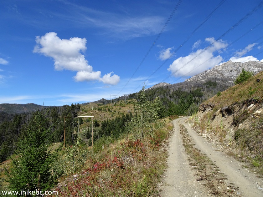
Porcupine Creek Trailhead Access Road British Columbia
15. The access road at 3.1 km.
Porcupine Creek Trailhead Access Road
16. The only somewhat challenging spot arrived at 4.4 km of the access road. But this is the end of a fairly dry season, so the road could be much more difficult than what we saw today.
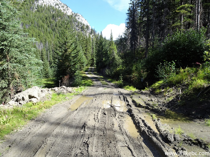
Mud on Porcupine Creek Trailhead Access Road
17-18. Porcupine Creek trailhead arrives 4.7 km from Jesmond Road. Coordinates:
N 51⁰04.780' W 121⁰48.496'. Elevation: 1,472 meters. A pit toilet is a hundred meters further on the left side.
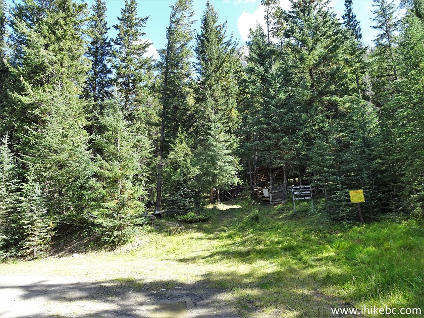
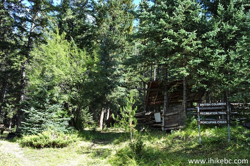
Porcupine Creek Trailhead
19. A horse corral is located just beyond the sign seen in the photo above.
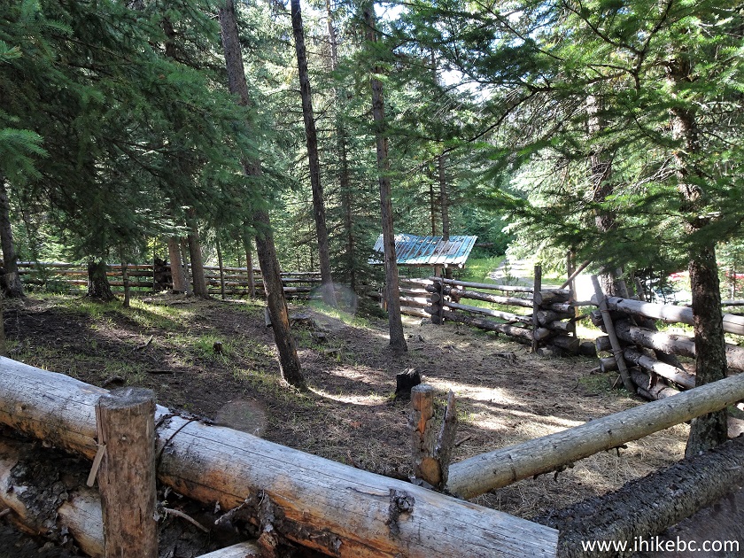
Horse Corral at Porcupine Creek Trailhead
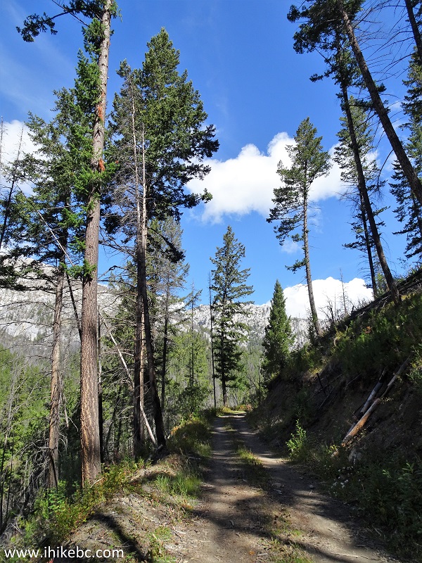
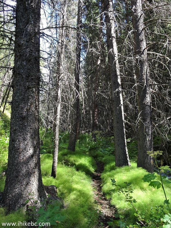
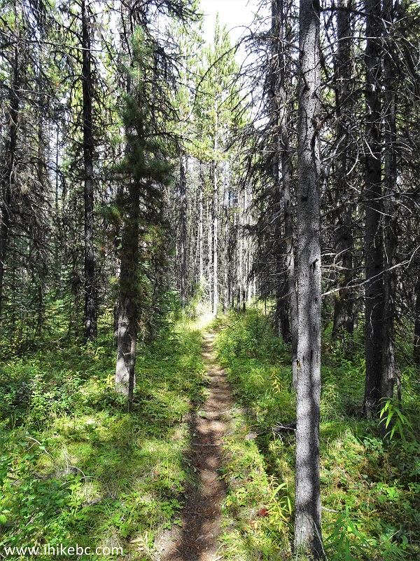
20. Porcupine Creek Trail begins.
Porcupine Creek Trail in Clinton BC Area
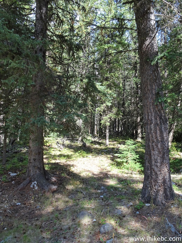
21. A fine scene at the 140 meter mark (all trail distances are based on a GPS odometer and are approximate).
Porcupine Creek Hike in Clinton British Columbia Area
22. Porcupine Creek Trail 25 meters later.
Porcupine Creek Trail - Hiking in Clinton BC Area
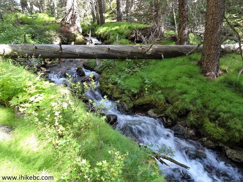
23. The creek flows along the trail for a short while.
Creek on the Side of Porcupine Creek Trail
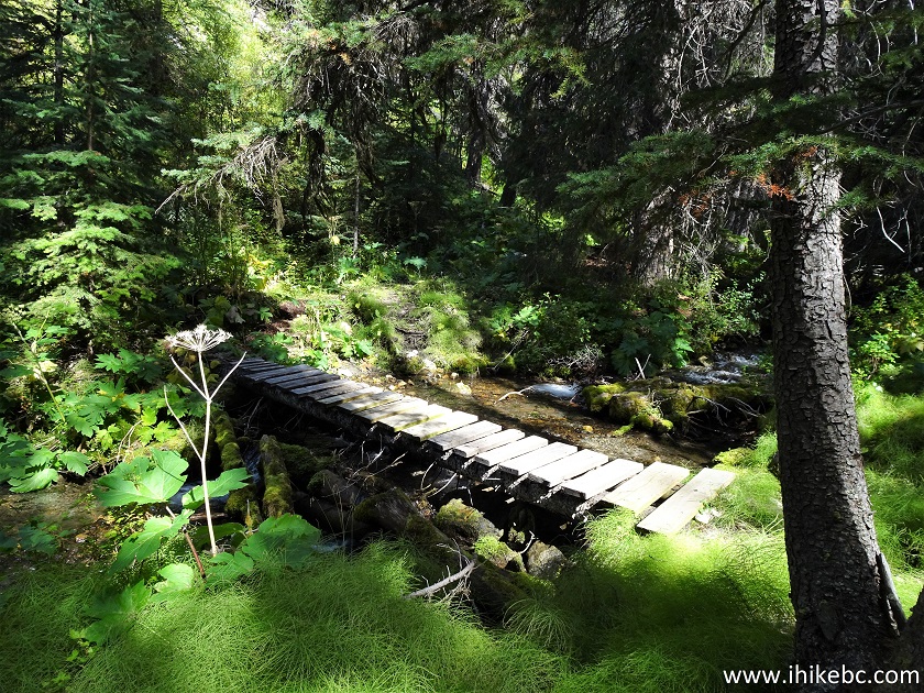
24-25. The first creek crossing arrives at the 400 meter mark, just after the fence.
Clinton Hiking - Porcupine Creek Trail
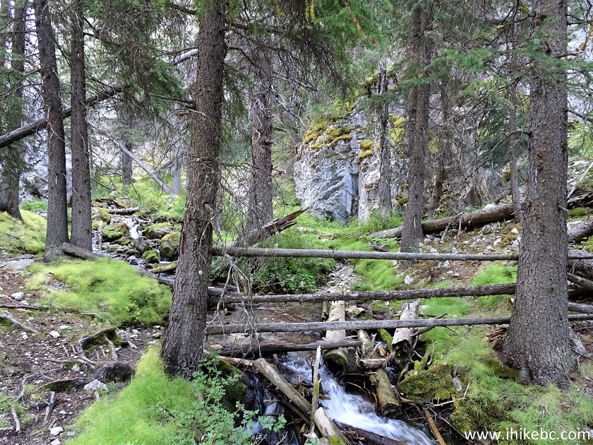
26. The trail then continues for just over 100 meters...
Clinton BC Trail - Porcupine Creek Trail
27...and the same creek needs to be crossed yet again. Could be quite a challenge during the spring run-off or after a heavy rain.
Clinton British Columbia Hike - Porcupine Creek Trail
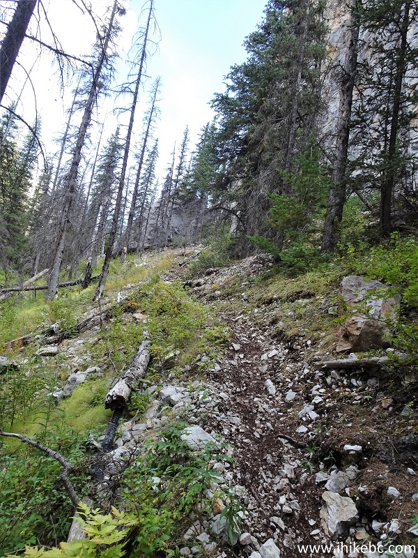
28. Porcupine Creek Trail at 590 meters. So far, so easy, save for the creek crossings.
Porcupine Creek Trail
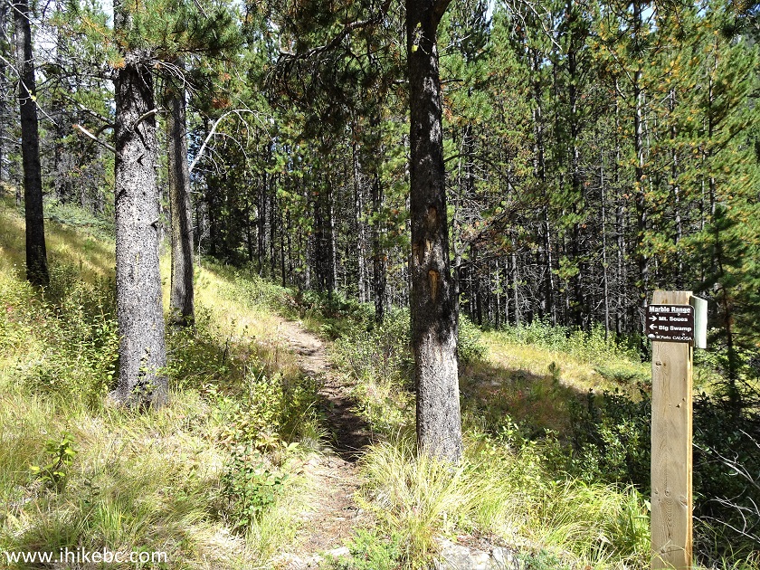
29. Marble Range Provincial Park arrives at the 640 meter mark. From what we understand, Porcupine Trail passes through the park, but, for the most part, is located outside of it. And, yes, there is a bear out there, and quite a large one too.
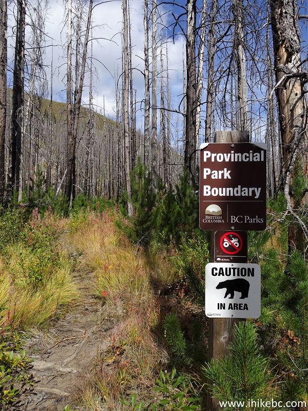
Porcupine Creek Trail - Marble Range Provincial Park Entrance
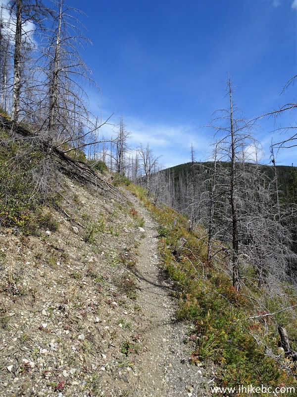
30. There are a lot of burned trees in that area, so, watch out, as they tend to be unstable and may easily fall down at any moment.
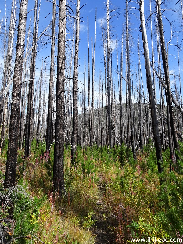
British Columbia Hiking - Porcupine Creek Trail near Clinton BC
31. A neat view to the left at 900 meters.
View from Porcupine Creek Trail - Hiking in British Columbia Canada
32. At 1.16 km, a sign indicates that Mt. Soues is to the right, and Big Swamp is to the left. Coordinates:
N 51⁰05.169' W 121⁰47.812'. Elevation: 1,564 meters. As our GPS trail ribbon went left, so did we.
Porcupine Creek Trail in British Columbia
33. Porcupine Creek Trail shortly after the split.
Porcupine Creek Hike near Clinton BC
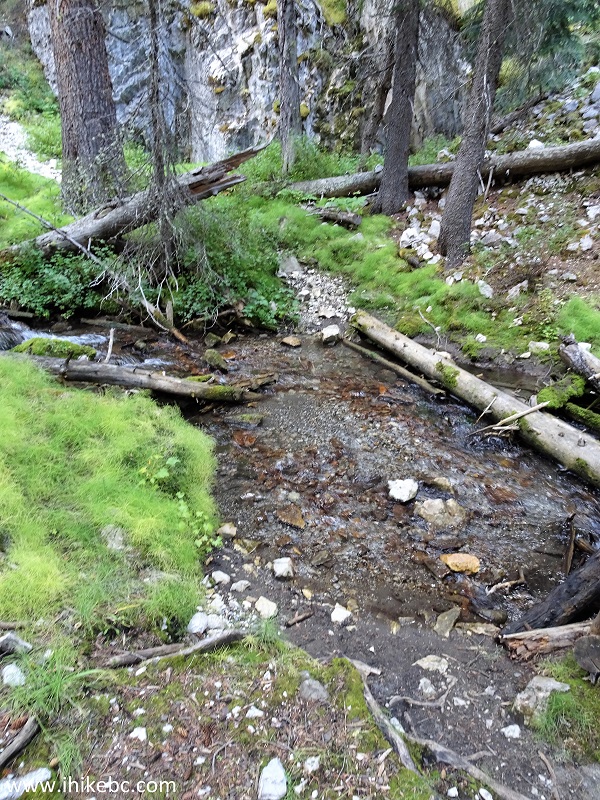
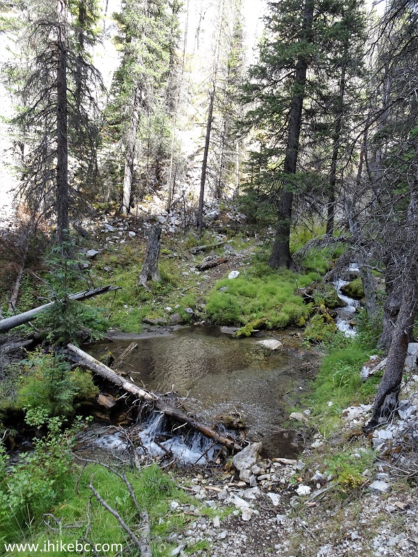
34. The third creek crossing arrives at the 1.8 km mark of the trail.
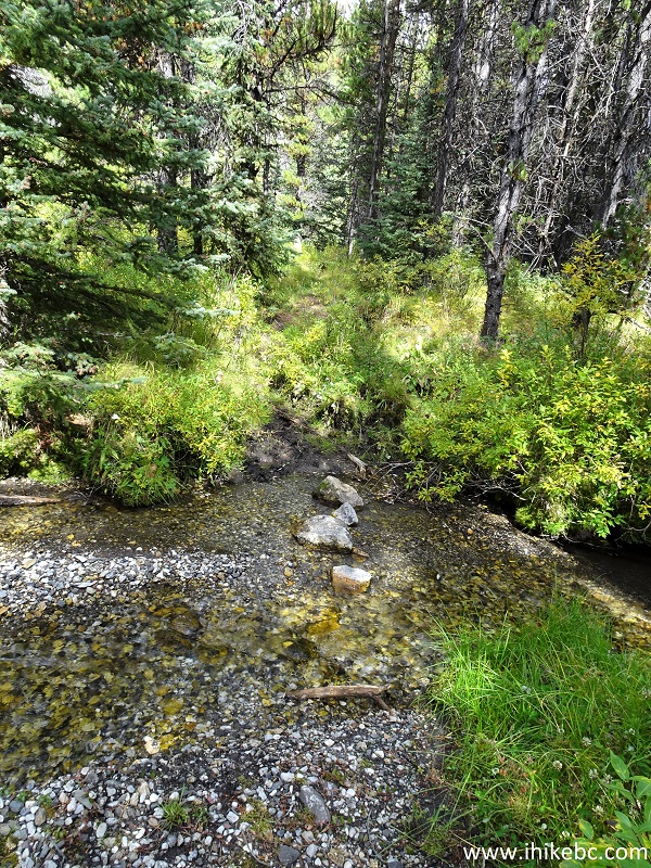
Porcupine Creek Trail Creek Crossing
Our Porcupine Creek Route Hike trip report Continues on Page 2.


|
 |
Other Trips:


![]()


![]()
![]()
![]()
ihikebc.com Trip 232 - Porcupine Creek Route Hike (near Clinton BC) Page 1 of 2