![]()
![]()
![]()

Trip 267 - September 6, 2022 (Tuesday)
Boulder Canyon Trail Hike
Near Muncho Lake BC
Page 1 of 2
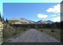
Of Note: No tree cover. The trail is semi-dangerous and is for (semi)-experienced and well-equipped hikers only, especially if hiking up the mountains past the creek bed. Some minor scrambling is required. Hiking on the creek bed is required for much of the trail, and may not be possible in high water. Very windy on the ridge in the alpine. Most of the trail is composed of loose stones of various sizes and dirt. Hiking poles and boots are essential.
Northern BC Backroad Mapbook (3rd edition) Approximate Trailhead Coordinates: Page 79 (Muncho Lake) E2.
Boulder Canyon Trail (not to be confused with Boulder Gardens Route near Tumbler Ridge) is located in Northeastern British Columbia off BC Highway 97 (Alaska Hwy) just North of Muncho Lake, and approximately 268 km North of Fort Nelson, the last town with major services of any kind. Muncho Lake has two gas stations and Northern Rockies Lodge (ice, eatery, lodging), and that's about it.
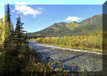
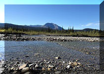
Boulder Canyon Trail is located 16.5 km North of Old Alaska Highway Trail South, which we covered in the previous trip report. Boulder Canyon is not as spectacular, but has enough good views to make it a very worthwhile hike for a properly equipped and (semi-)experienced hiker. The trail is composed of stones, large and small, which are frequently loose, mixed with dirt past the creek bed. The creek was dry during our hike late in the season, but any presence of water would make it complicated, if not impossible, to pass a few obstacles where some scrambling is required.
Also, once the first split arrives at about the 2.4 km mark of the hike, the going gets very tough, and the steepness of the terrain combined with a mix of loose stones and dirt would provide a real challenge. That said, the higher you climb, the better the views, so there is a good incentive to keep moving.
Today, we hiked past four splits, and climbed up for a bit, for a total one-way distance of about 5 kilometers. It is certainly possible to hike much further for potentially even better views.
The distances are as follows:
Trailhead to Split 1 (end of relatively easy hiking) - 2.4 km.
Split 1 to Split 2 - 400 meters.
Split 2 to Split 3 - 300 meters.
Split 3 to Split 4 - 310 meters.
Split 4 to hike end (possible to hike much further) - 1.5 km.
*All trail distances are based on a GPS odometer and are approximate.
1. Here is a Google Maps location of Muncho Lake. Boulder Canyon Trail is located about 5 km north of Muncho Lake.
2. En route to the trailhead, we have encountered several wild goats licking ground on the side of the highway.
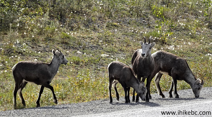
Wild Goats near Muncho Lake British Columbia Canada
Here is our video of the goats.
3. A very large parking lot for Boulder Canyon Trail is located on the right side of Alaska Highway (BC Highway 97). Coordinates: N 59°05.109’ W 125°48.755’. Elevation: 910 meters. It's quite level too, if you are interested in taking a nap.
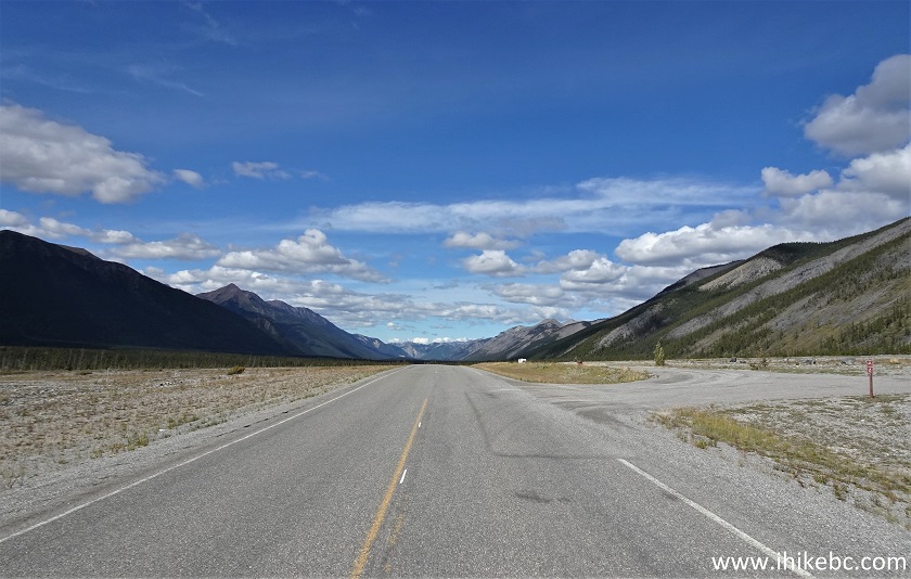
Boulder Canyon Trail Parking Lot by Muncho Lake BC
Here is our video of the daybreak from this parking lot.
More ihikebc videos are on our YouTube Channel.
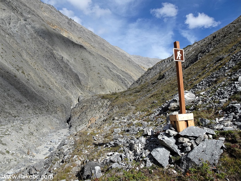
4-6. Boulder Canyon Trail Information. The map appears to show the trail up to the first split.
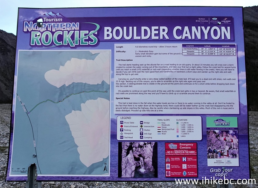
Boulder Canyon Trail Information Board Northern Rockies BC Canada
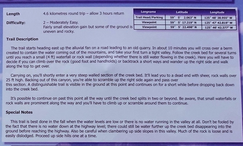
Boulder Canyon Trail Information

Boulder Canyon Trail Map
7. We are at the parking lot, looking East. Head towards the mountain straight ahead, then turn right.
Boulder Canyon Trailhead - BC Hiking
8. Here is that mountain a bit closer, at 380 meters of the hike.
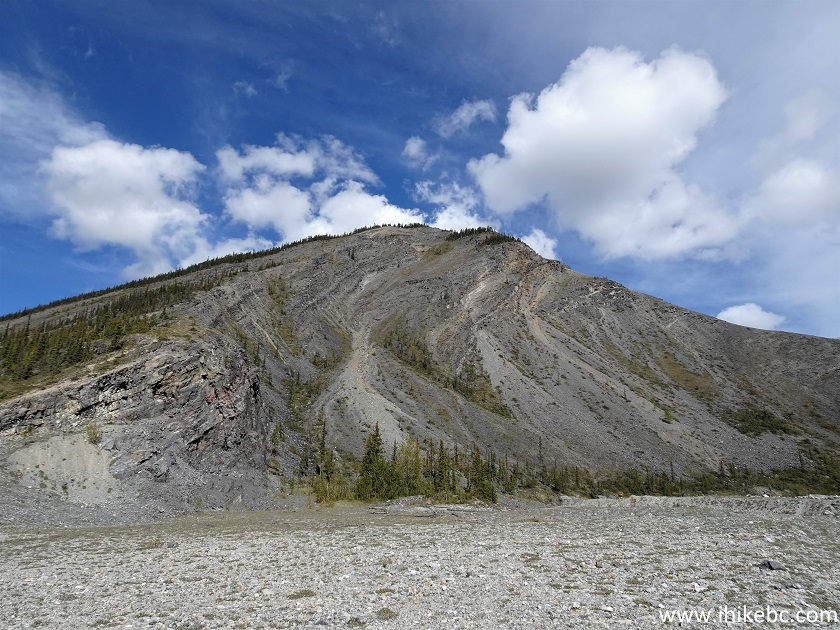
Muncho Lake Hiking - Boulder Canyon Trail
9. At 580 meters, we have already turned right and can see the canyon ahead.
British Columbia Hiking - Boulder Canyon Trail near Muncho Lake BC
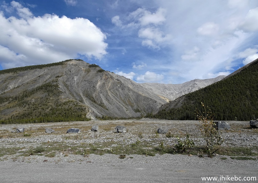
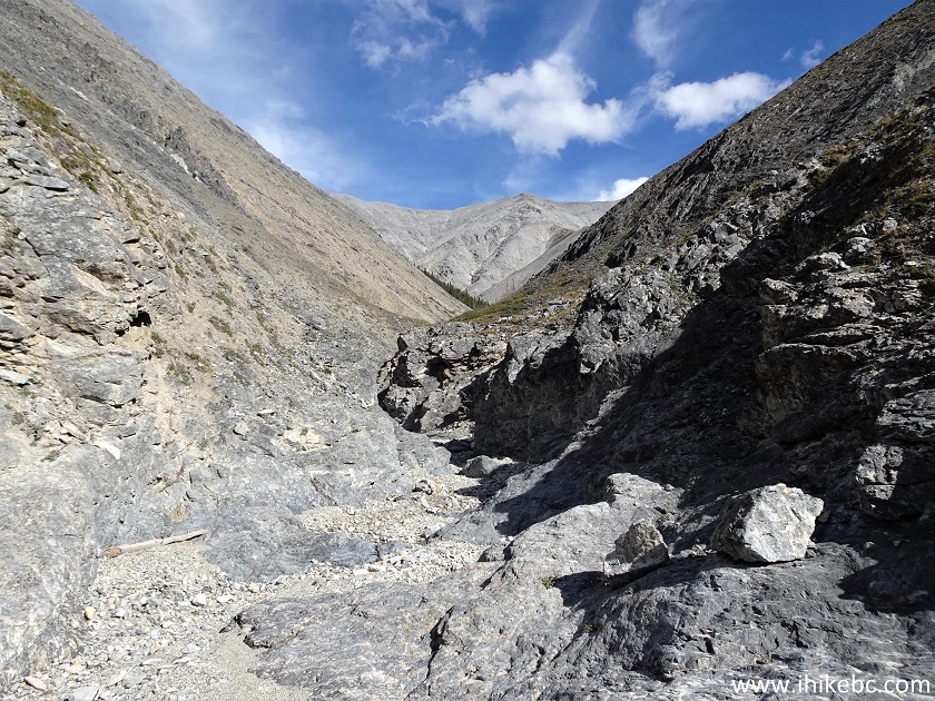
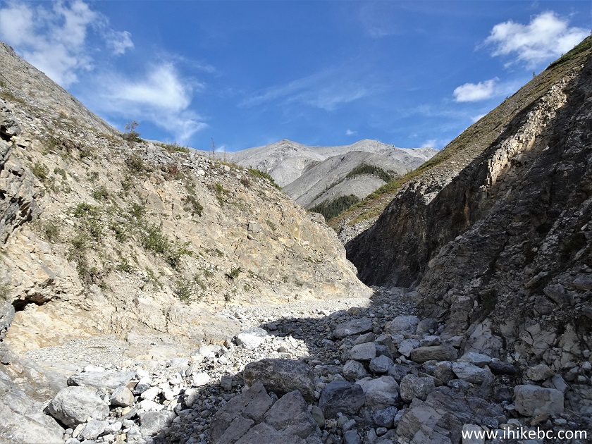
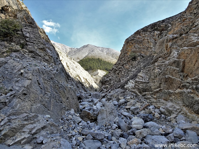
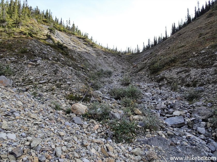
10. At 1.15 km, the canyon walls are getting closer.
Boulder Canyon Trail Hike near Muncho Lake BC Area
11-12. At 1.20 km, the only sign of the hike appears on the right side. There is a visible path here and there, but, for the most part, there is no particular path to follow, so just head upstream any way you can.
Boulder Canyon Trail
Boulder Canyon Hike
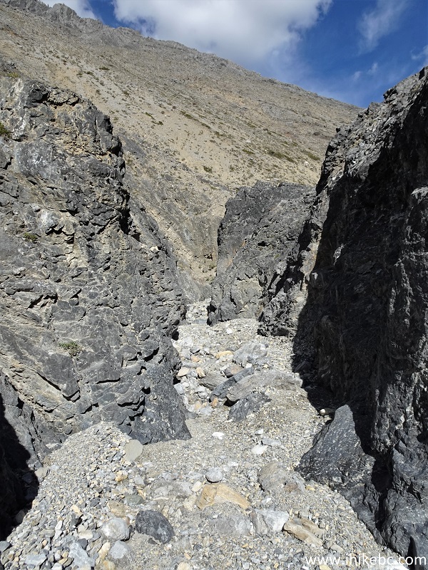
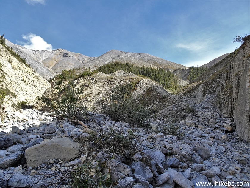
13. Boulder Canyon Hike at 1.5 km from the trailhead.
Hiking in British Columbia - Boulder Canyon Trail
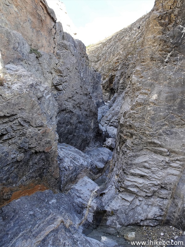
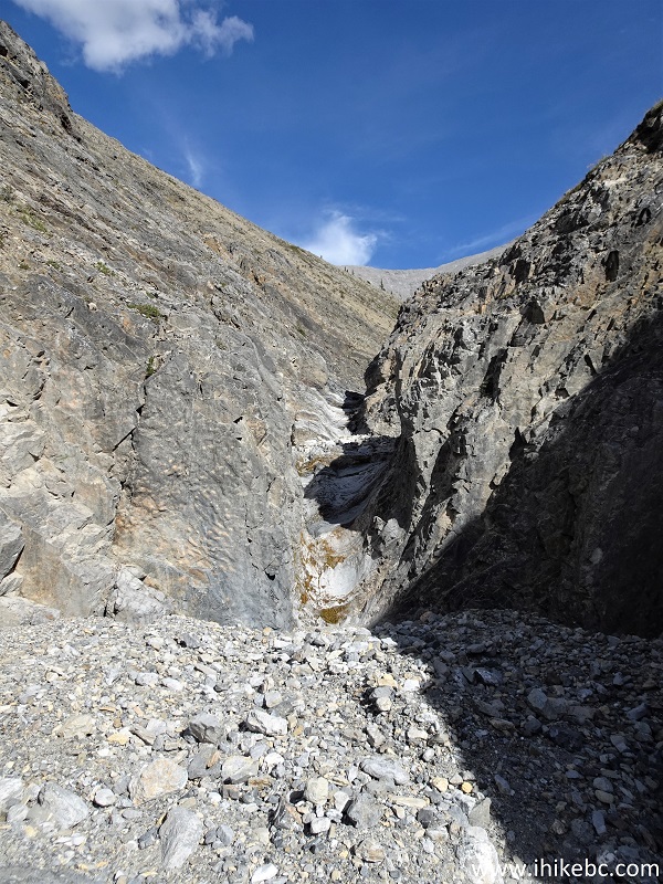
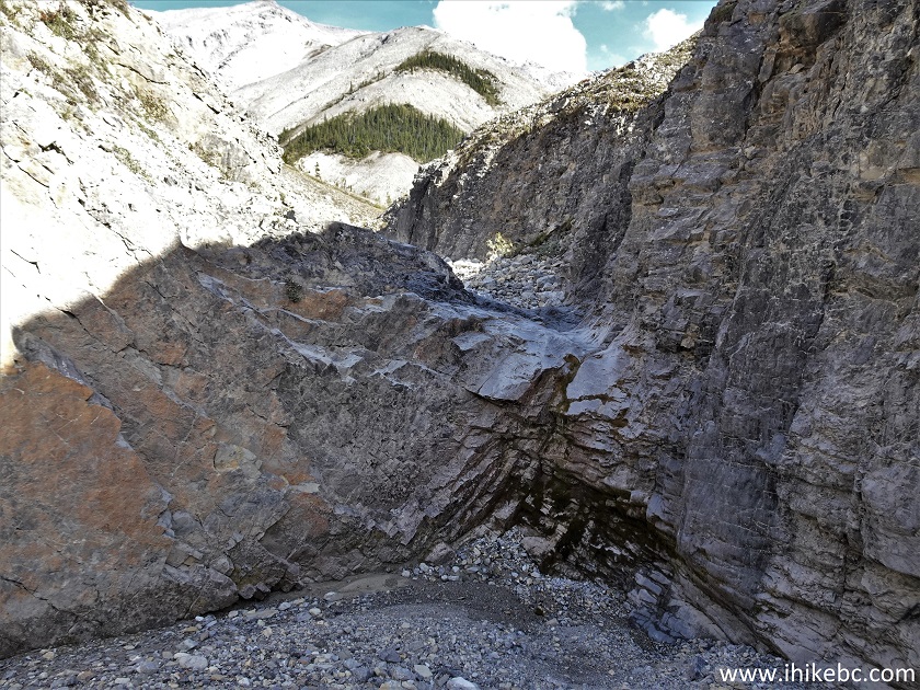
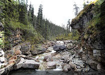
14. Scramble time. Would be quite a challenge if there is any water flow. Unclear if it is possible to bypass this section of the trail. At 1.59 km here.
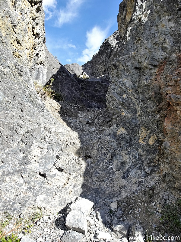
Boulder Canyon Trail - Hiking in Canada
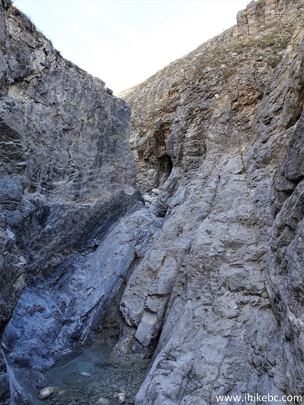
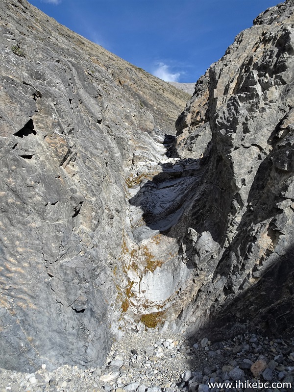
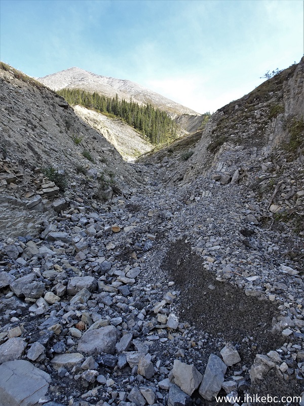
15. Boulder Canyon after the scramble - at 1.63 km from the start.
Boulder Canada Trail - Canadian Hiking
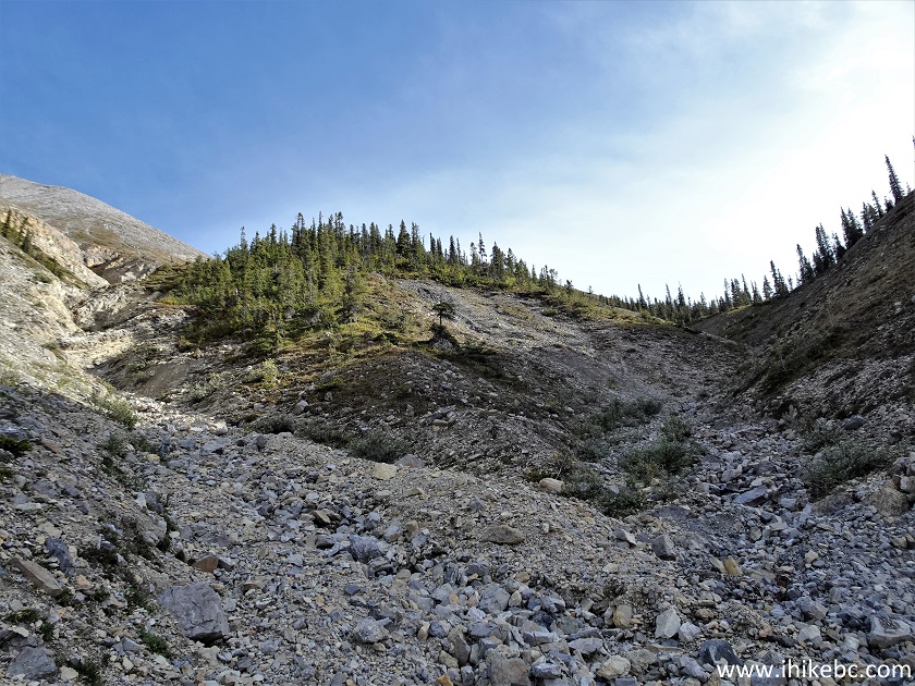
16. At 1.66 km, we can now see the mountain we ended up climbing after getting through the canyon.

Boulder Canyon Trail Hike in Canada
17-18. Another challenging section at 1.78 km.
Boulder Canyon Northern British Columbia
Boulder Canyon Hike North of Fort Nelson BC Canada
19. After the scramble.
Boulder Canyon Trail
20. Now at the 1.86 km mark of Boulder Canyon Trail.
Hike in British Columbia - Boulder Canyon Trail
21-22. Just over 100 meters later, the third scramble of the hike.
Canada Hiking - Boulder Canyon Trail
Boulder Canyon Trail in Muncho Lake BC area
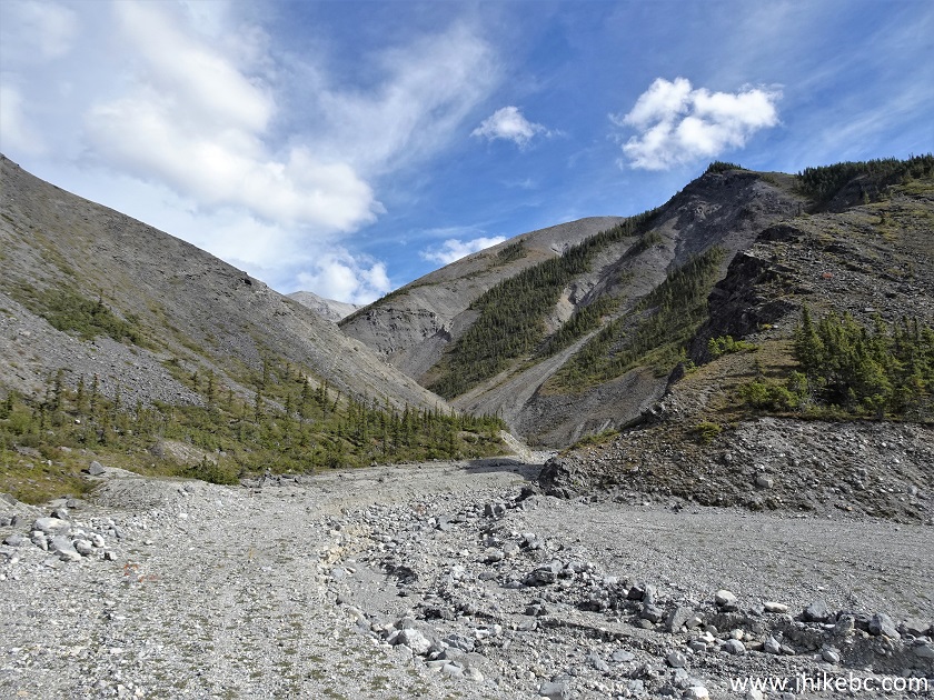
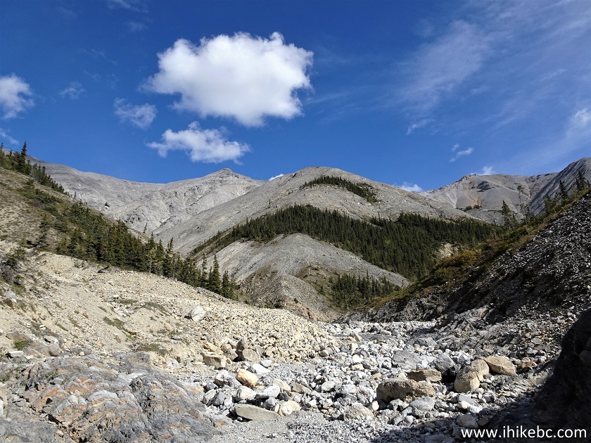
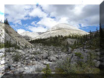
23. The mountains are getting closer. At 2.07 km here.
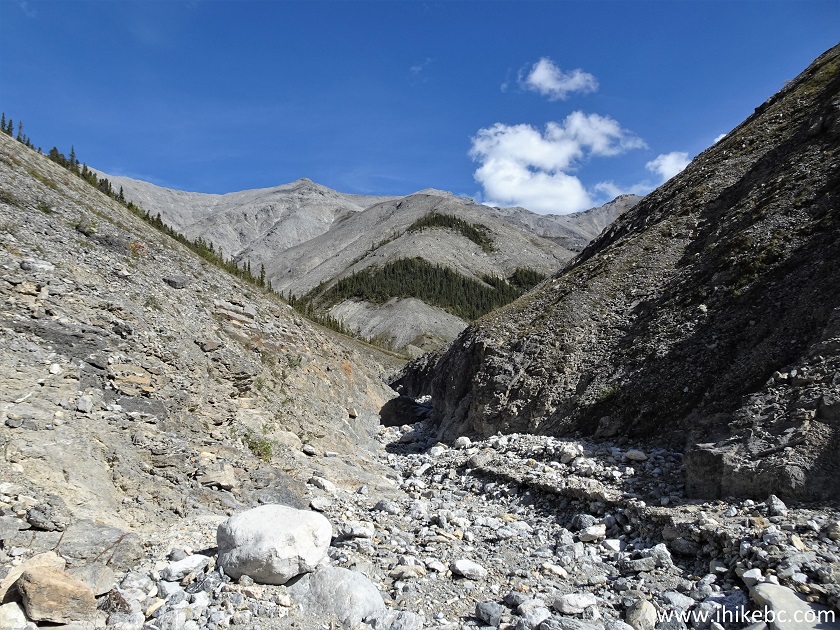
Boulder Canyon Hike in Northern British Columbia Canada
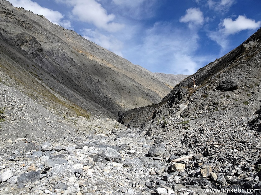
24. And one more scramble for a good measure - at 2.11 km of the hike.
Hiking Northern Rocky Mountains - Boulder Canyon Trail
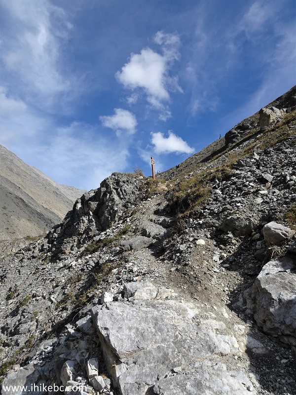
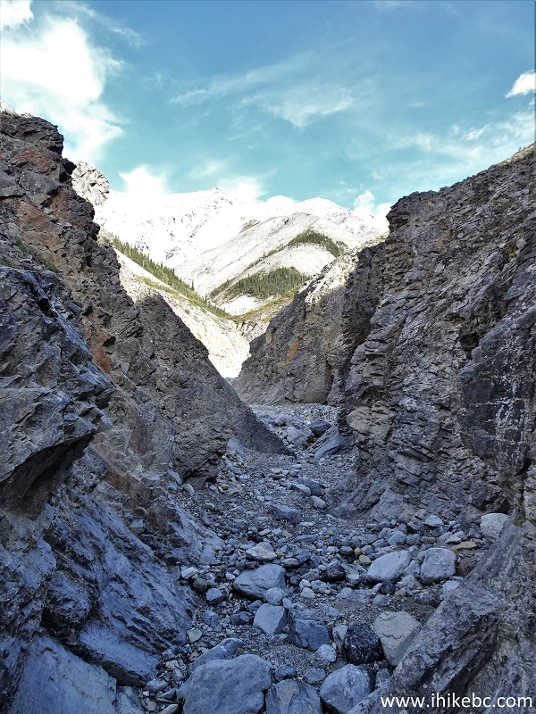
25-26. At 2.40 km of Boulder Canyon Trail we have reached the first split. Coordinates: N 59°05.372’ W 125°46.738’. Elevation: 1,095 meters (285 meters elevation gain from the trailhead for an average grade of about 12%). This is a good place to go back, if you are not ready for a much challenging terrain ahead. We made a right turn at all four splits.
Boulder Canyon Trail Province of British Columbia Canada
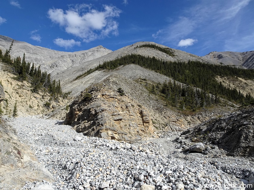
Boulder Canyon Trail Split
27. Here is a view immediately after making the right turn.
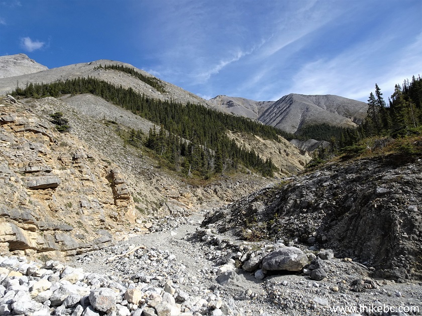
Boulder Canyon Route near Muncho Lake BC Canada
28. Now at 110 meters from Split 1.

Muncho Lake Hiking - Boulder Canyon Route
29. At 400 meters, Split 1 ends, and Split 2 begins. Made a right turn again.

Boulder Canyon Route Split 2
30. Split 2 at 130 meters.
Hike in Northern British Columbia Canada - Boulder Canyon Route
31. At 300 meters, Split 2 ends, and Split 3 begins. Yet another right turn.
Boulder Canyon Route Hike in British Columbia
32. At 20 meters of Split 3.
Hike in Canada - Boulder Canyon Route
33-34. At 310 meters, Split 3 ends, and Split 4 begins. Coordinates: N 59°04.997’ W 125°46.084’. Elevation: 1,250 meters. One last right turn.
Boulder Canyon Route Hiking in Canada
British Columbia Hiking - Boulder Canyon Route
Our Boulder Canyon Trail Hike Trip Report Continues on Page 2.


|
 |
Other Trips in Fort Nelson Area:
|
|
|
|
|
|
|
|
|
|
|
|
|
|
|
|
Other Trips:


![]()
![]()
![]()
ihikebc.com Trip 267 - Boulder Canyon Trail Hike (Near Muncho Lake BC) Page 1 of 2