![]()
![]()
![]()

Trip 182 - May 14, 2020 (Thursday)
Red Rock Trail Hike
Lillooet BC Canada
Page 1 of 2
Location: Town of Lillooet, approximately
250 km North of Vancouver, if via Highway 1 West and Highway 99
(Sea-to-Sky) North.
Liked: Easy access to the trailhead. Excellent views of Lillooet, Fraser River, mountains, and the valley. Very few bugs.
Of Note: Limited parking by the trailhead, trail is accessible by motorized vehicles, steep unbarricaded drop-offs at the end of the trail, no shade for most of the trail (+35⁰C in Lillooet is not unusual), some traffic noise all trail long, several steep sections - hiking boots and poles are highly recommended.
Vancouver, Coast & Mountains BC Backroad Mapbook (2nd edition) Approximate Coordinates: Page 44 (Lillooet) C7.
Related Websites: Lillooet BC - Official Site, Lillooet BC - Wikipedia.
Red Rock Trail (not to be confused with Red Rock Canyon Trail North of Fort Nelson), so called because it leads to the top of a red-coloured rock above Lillooet, is not listed in the 2nd edition of Backroad Mapbook for this region, but, perhaps, is shown in the more recent Mapbook. We found this trail in Lillooet Visitor's Guide, as well as in "Canyon to Alpine" second edition book, which lists trails in the Lillooet area. There are no signs leading you to this trail, and it starts in a residential neighbourhood, at the end of a cul-de-sac. The trail might get busy on a weekend, so parking could be a slight issue. Despite the lack of signs pointing in the trailhead's direction, it's very easy to find, and leads to great views.
There are two ways to get to Lillooet from Vancouver - either via Highway 1 West, then Highway 99 (Sea-to-Sky) North, through West Vancouver-Squamish-Whistler-Pemberton. Or, which will take 100 km more, but about the same time due to the higher speed limits, via Highway 1 East, then Highway 97 North, then Highway 12, through Fraser Valley-Hope-Lytton. If you are a bit further North, get off Highway 1 in Cache Creek and take Highway 97, then turn left 10 km North of Cache Creek onto Highway 99, and take it to Lillooet 73 kilometers later, which is what we did today.
To find the trailhead, drive down Main Street (Lillooet's main thoroughfare) for 1.6 km after entering the town, then turn left onto 6th Ave. 600 meters after that, turn left onto Victoria Street, and, 200 meters later, at the end of the street, the trail begins just beyond the cul-de-sac where you would park, provided there is enough space (please, don’t block driveways).
The trail is moderately challenging, but fairly
short. If you don’t feel like hiking 3.4 km to the end, there are two
very good viewpoints within the first 650 meters of the trail, with
the third viewpoint at the 1.3 km mark. The views from the 2nd and 3rd
viewpoints
are almost as good as from the top. The trail ground is, mostly, packed
dirt, but there are a few quite steep stretches with loose rocks and
dirt, so hiking poles and boots would be very helpful.
1. We are Northbound on Highway 97, approximately 10 km North of Cache Creek, getting ready to turn left onto Highway 99 South.
BC Highway 97 North of Cache Creek British Columbia
2. Here is the left turn.
BC Highway 97 at BC Highway 99 turnoff
3. Now on Highway 99 South. It's 73 kilometers to Lillooet from here.
BC Highway 99 South near BC Highway 97
4. Highway 99 South between Highway 97 and Lillooet is a pleasant drive, with many good views.
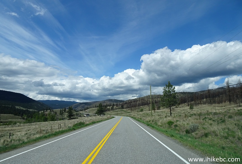
BC Highway 99 South near Cache Creek
5. It's mostly rolling hills at first, but, closer to Lillooet, mountains appear on the horizon.
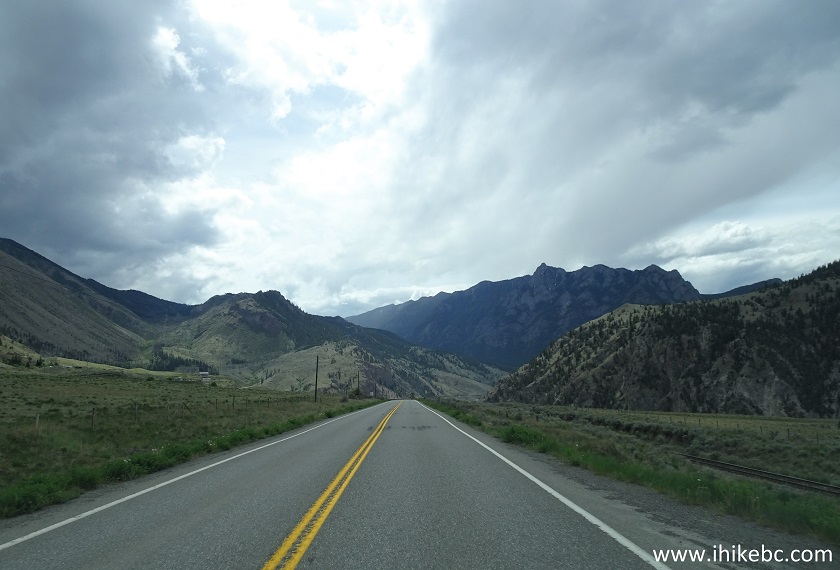
Highway 99 South British Columbia Canada
6. There is a big slide being repaired on Highway 99 near Lillooet.
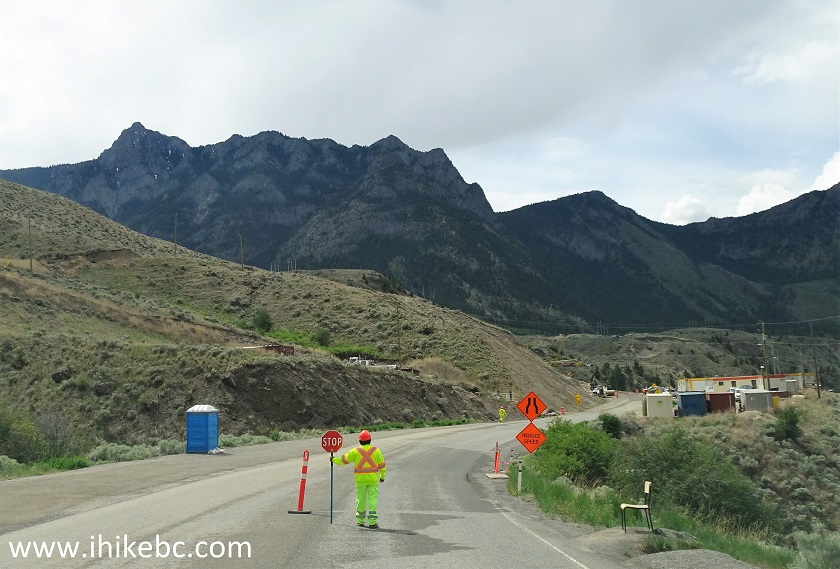
Road Repair Highway 99 near Lillooet BC Canada
7. Vehicles are restricted to 27 tons maximum at this time.
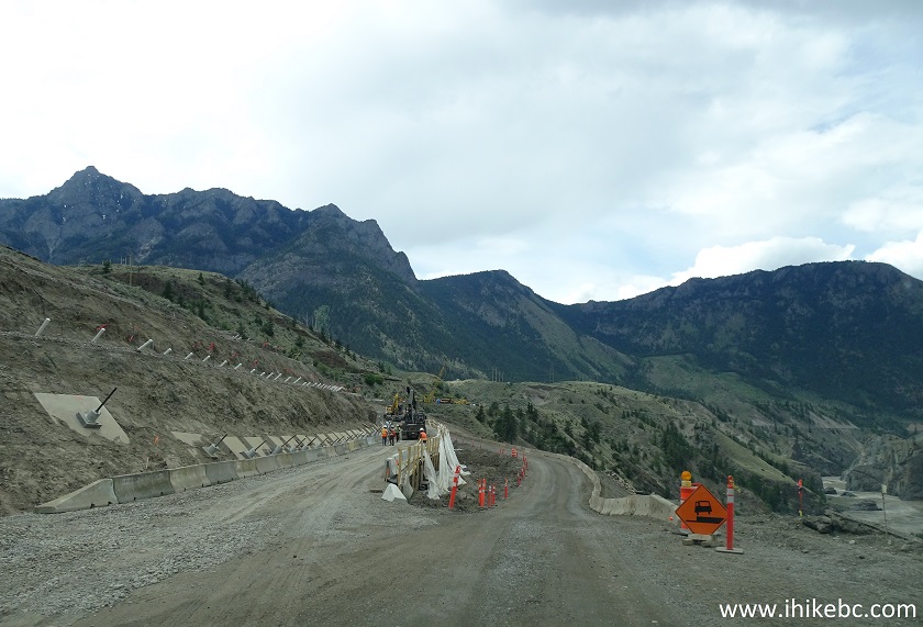
BC Highway 99 slide near Lillooet under repair
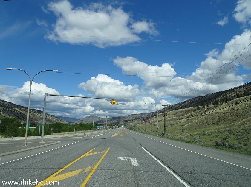
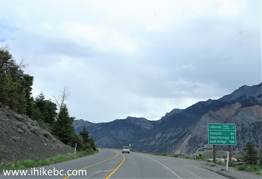
8. Approaching Lillooet.
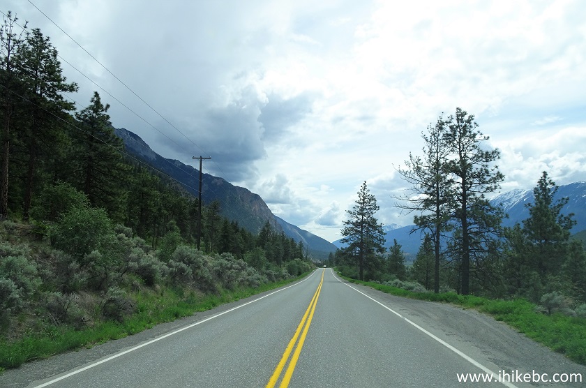
BC Highway 99 near Lillooet British Columbia
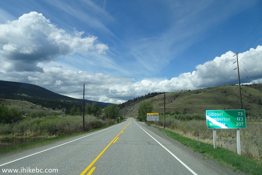
9. And here is an intersection where Highway 99 meets Highway 12. Going straight would be the start of Highway 12, which ends at Lytton (and Highway 1) approximately 65 kilometers later. If you would take Highway 1 East from Vancouver and then turn left onto Highway 12 in Lytton, this is where you would come from en route to Lillooet.
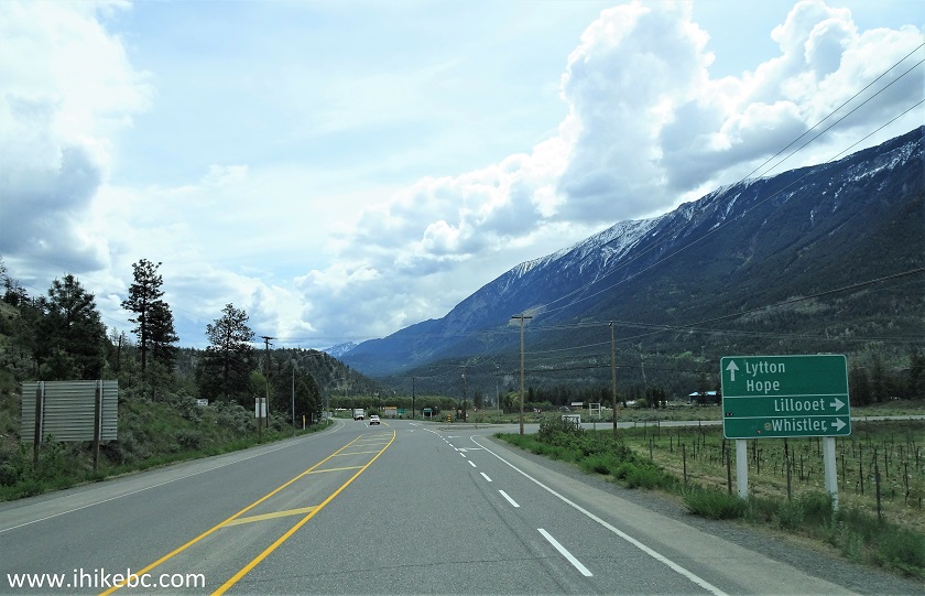
BC Highway 99 near BC Highway 12
10. But we are turning right along with Highway 99. Lillooet is almost here.
BC Highway 99 at BC Highway 12 near Lillooet
11. Driving on a bridge across Fraser River. We will see this bridge several times while hiking Red Rock Trail.
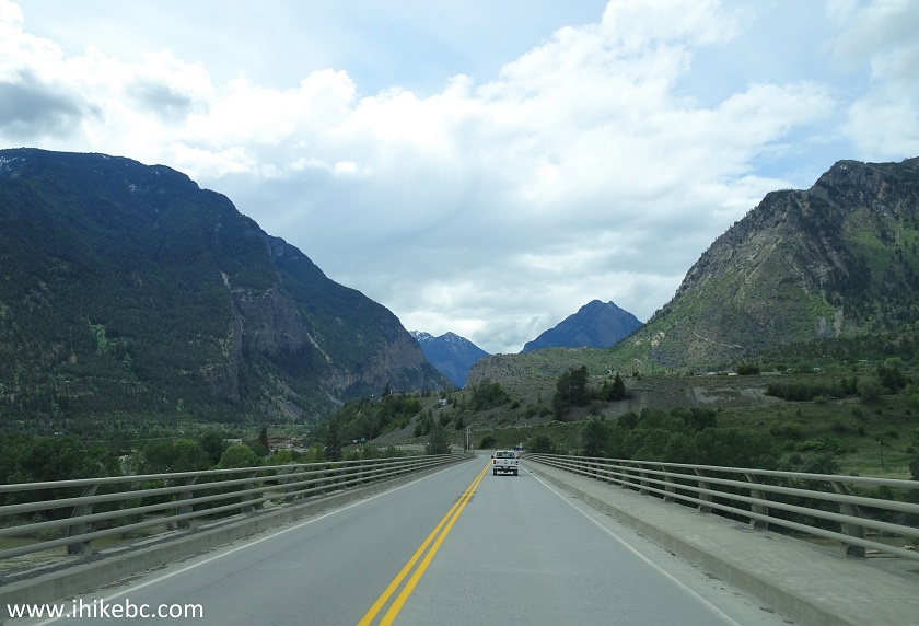
BC Highway99 Bridge Across Fraser River near Lillooet
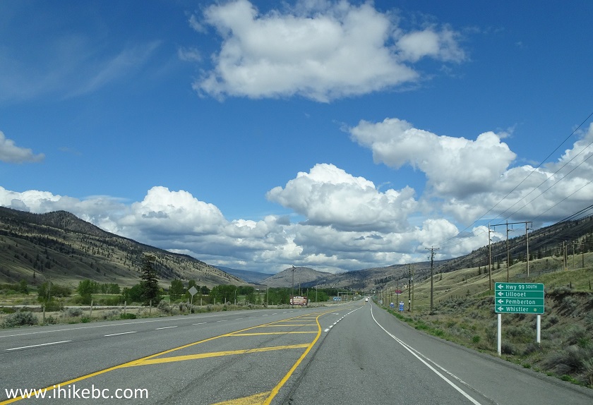
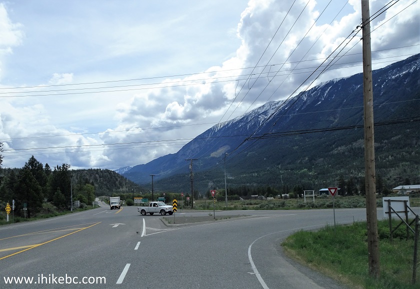
12. Shortly after crossing the bridge, make a right turn onto Seton Lake Road. A traffic sign will point that Lillooet is that way, and a Welcome to Lillooet sign confirms that. Turning left at this intersection would make you stay on Highway 99 en route to Pemberton-Whistler-Squamish, and this is where you would come from, if you are driving to Lillooet from Vancouver via Highway 1 West and Highway 99 (Sea-to-Sky) North.
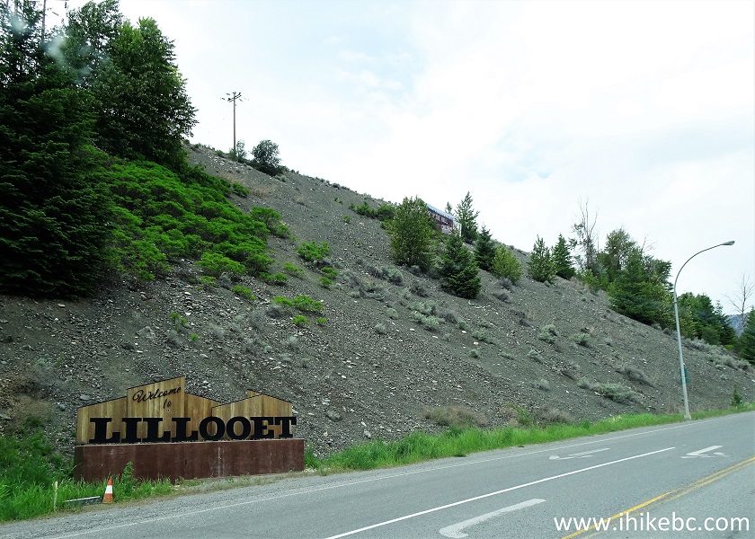
Welcome to Lillooet Sign
13. Keep driving on Seton Lake Road for about a kilometer, after which you will enter Lillooet and end up on its main thoroughfare - Main Street.
Seton Lake Road Lillooet BC Canada
14. And here is Main Street in Lillooet BC. You can see a few more photos of Lillooet in our BC Highway 40 and BC Highway 99 Trip Reports.
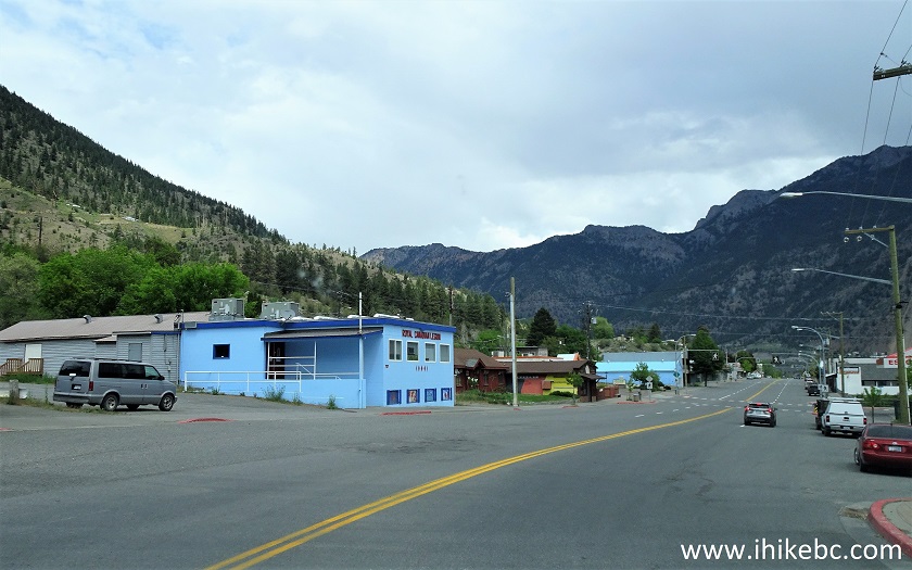
Main Street Lillooet BC
15-16. Drive on Main Street until 6th Avenue, and make a left turn. There is a church on the corner of Main and 6th. This intersection is 1.6 km from the Welcome to Lillooet sign seen in photo #12.
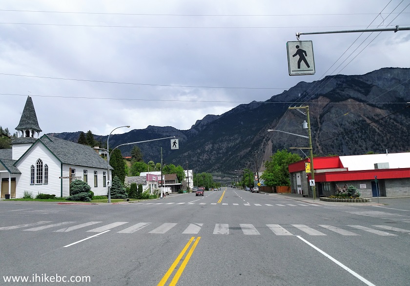
Main Street at 6th Avenue Lillooet British Columbia
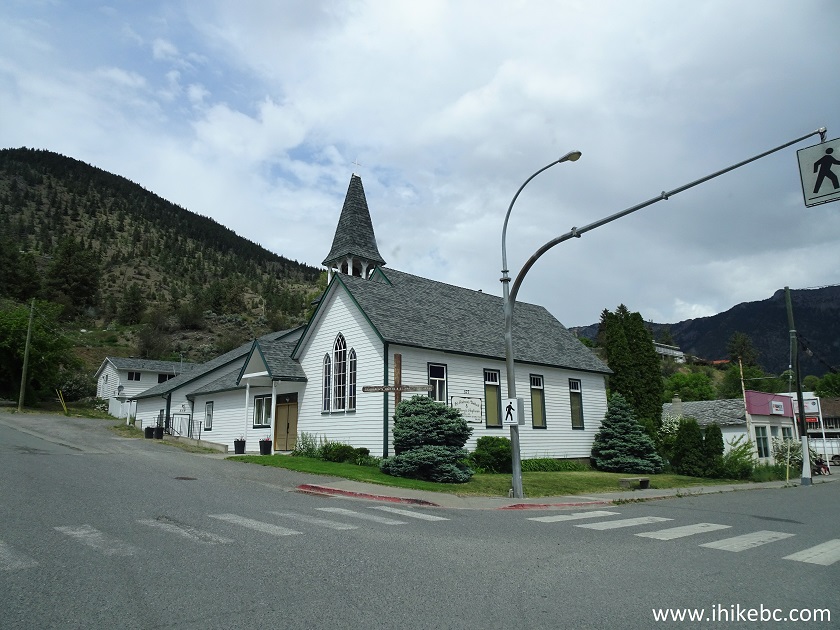
Church on the corner of Main and 6th Lillooet BC
17. Now on 6th Avenue.
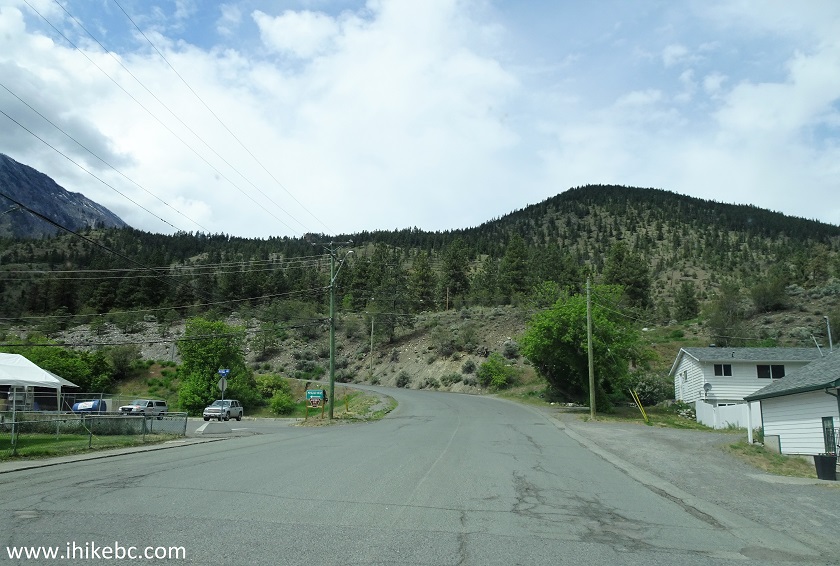
6th Avenue Lillooet BC
18. Drive for 600 meters, and turn left onto Victoria Street.
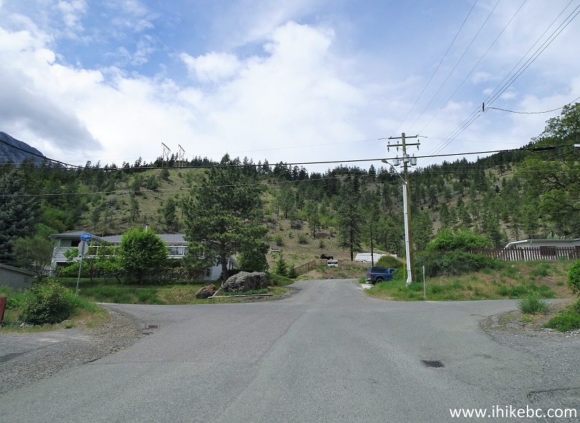
6th Avenue at Victoria Street Lillooet BC
19. Here is Lillooet's Victoria Street after the turn from 6th Avenue.
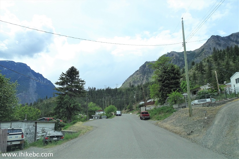
Victoria Street Lillooet British Columbia
20. Just 200 meters further is the end of Victoria Street. Coordinates: N 50⁰41.532’ W 121⁰56.628’. Elevation: 317 meters. The Red Rock Trail begins just past the cul-de-sac, as indicated by the arrow. There is a much steeper trail on the right side, but we are not sure where it leads - perhaps, it's a shortcut which rejoins Red Rock Trail at some point.
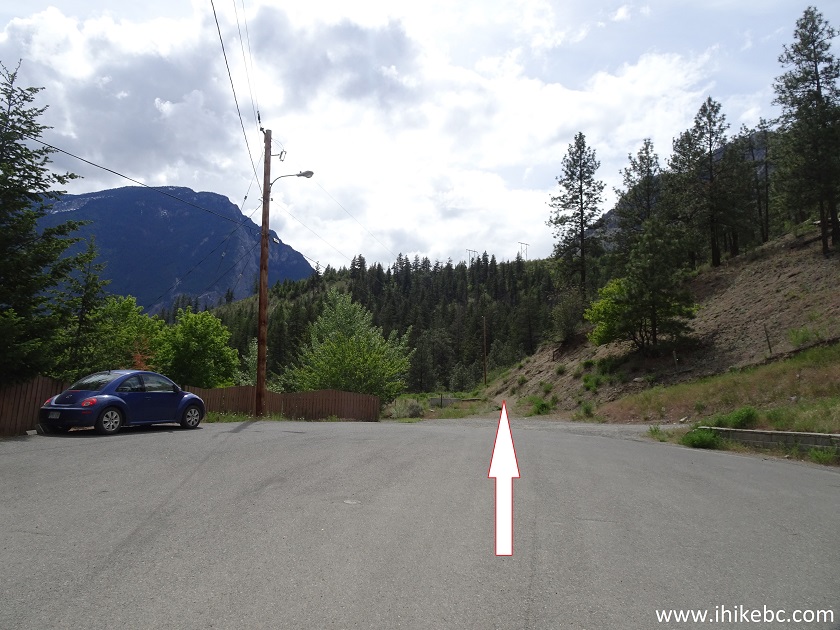
Red Rock Trailhead - Lillooet Hiking
21. Red Rock Trail begins by going past Lillooet works yard.
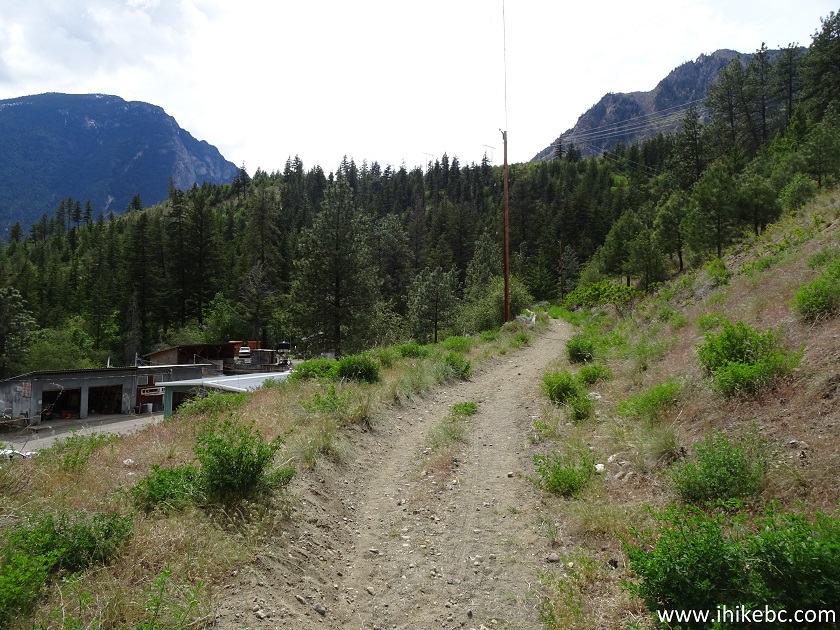
Lillooet Hike - Red Rock Trail
22. Here is the yard.
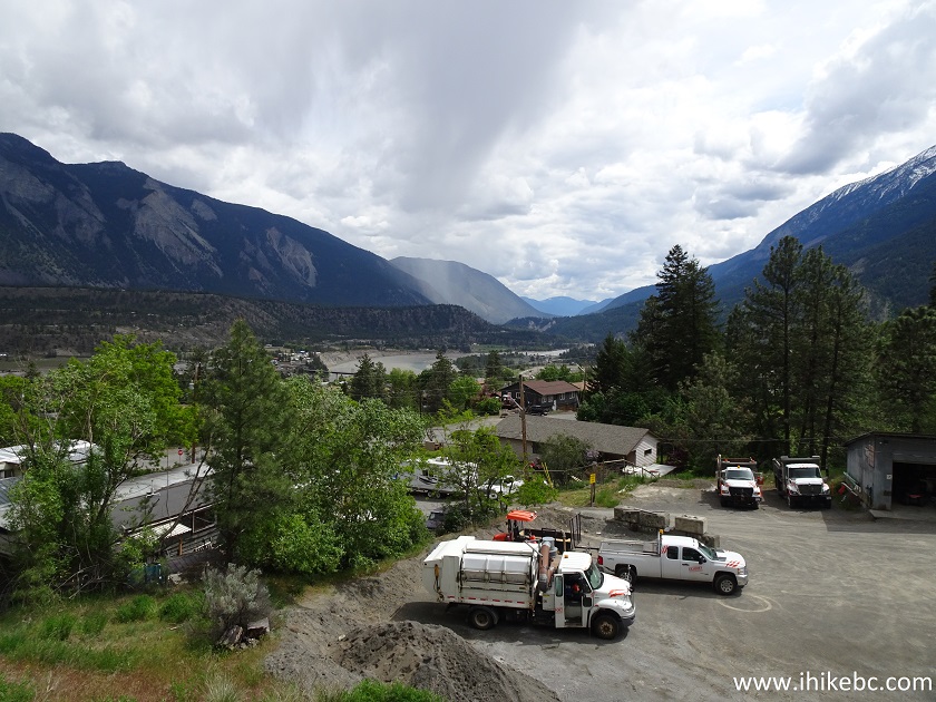
Lillooet Works Yard
23. In a few hundred meters, the trail joins a road. Turning left would lead to the works yard, but we need to turn right.
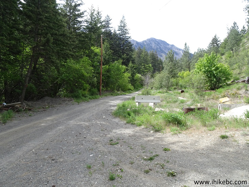
Red Rock Trail - Hiking in Lillooet
24. Very soon, another right turn is in order. Straight ahead would be a neat-looking Lillooet water tower.
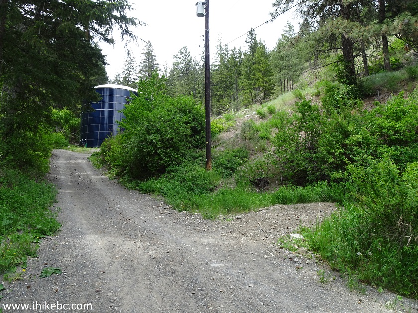
Hike in Lillooet - Red Rock Trail
25. After making the right turn seen above, the one and only trail sign appears on the side of the trail.
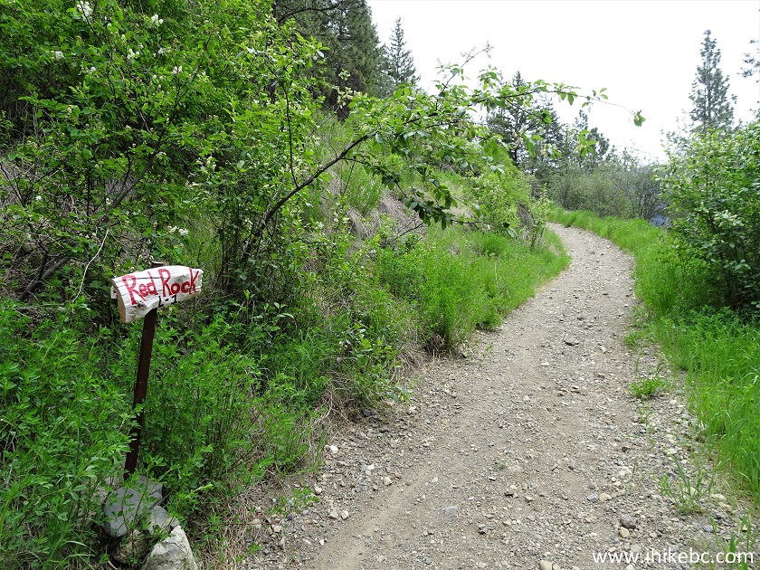
Lillooet Trail - Red Rock Trail
Our Red Rock Trail Hike Trip Report Continues on Page 2.


|
 |
Other Trips in Lillooet Area:
|
|
|
|
|
McGillivray Creek Trail |
|
Other Trips:


![]()


![]()
![]()
![]()
ihikebc.com Trip 182 - Red Rock Trail Hike (Lillooet BC) Page 1 of 2