![]()
![]()
![]()

Trip 229 - September 2, 2021 (Thursday)
Newcastle Island Trail Hike
Newcastle Island Marine Provincial Park
Near Nanaimo BC
Page 1 of 2
Liked: A
pleasant short ferry ride, an easy trail around the island, ocean and coastline views, several fine forest scenes, shade in the forest, sandstone quarry information signs, available coin shower, no bugs.
Of Note: O
ccasional noise from single-engine aircraft and passing vessels. Ferry runs on a schedule, and payment is required. Sailing waits are possible. One confusing trail intersection.Related Websites: Newcastle Island Marine Provincial Park - by BC Parks, Newcastle Island Ferry Info Site.
Vancouver Island Backroad Mapbook (9th edition) Newcastle Island Coordinates: Page 19 (Nanaimo) D2.
A very pleasant Newcastle Island is located across Newcastle Channel from Vancouver Island, opposite from the city of Nanaimo. A small ferry takes just over six minutes to cover the distance of less than 1.5 kilometers from a dock in Nanaimo's Maffeo Sutton Park (not too far from Departure Bay Ferry Terminal, with service to Horseshoe Bay), to Newcastle Island, also known as Saysutshun in the language of the local indigenous people. The whole island is a BC Marine Provincial Park, and has boat docking, camping, bicycles and kayaks rentals, and hiking available. There is also a coin shower in the washroom building near the dock.
Today, we hiked the 7.5 km-long perimeter trail around Newcastle Island. There are many other trails which cross the Island and/or go to a small Mallard Lake. You can take a bicycle on the ferry (for an additional fee), but cycling is allowed only on a small portion of a perimeter trail. Besides, during busy times there could be a long line-up of people waiting to board, and someone may have to wait for the next sailing, if a bicycle takes a limited space on a small ferry.
Newcastle Island ferry runs on a schedule - check out the website linked above. If you miss the last sailing (which takes place fairly early in the day, but that depends on the season), you may have to either overnight on the island, or call a water taxi to get you back to Nanaimo.
1. We are in Maffeo Sutton Park in Nanaimo, BC. Maffeo Sutton Park is quite a fine place, and is so popular that parking could be an issue. There is no fee for parking your vehicle for the first 3 hours, and then it's a dollar for each 2 hours after that. Here is a Google Maps link for this park.
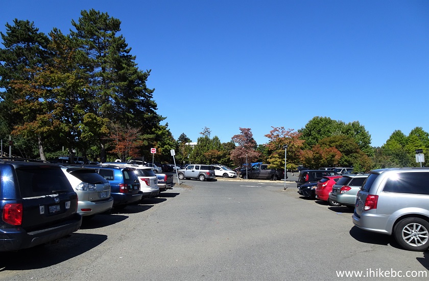
Maffeo Sutton Park Nanaimo BC Parking Lot
2. Having parked and paid for parking, head towards the water. This cool Nanaimo sign is a popular attraction.
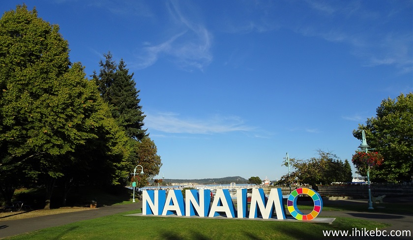
Nanaimo Sign in Maffeo Sutton Park
3. Take the path to the left of the sign - the Newcastle Island Ferry dock is just a few minutes away.
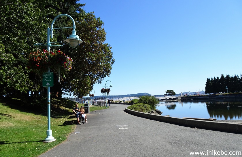
Maffeo Sutton Park Nanaimo British Columbia Canada
4. Go past this bridge.
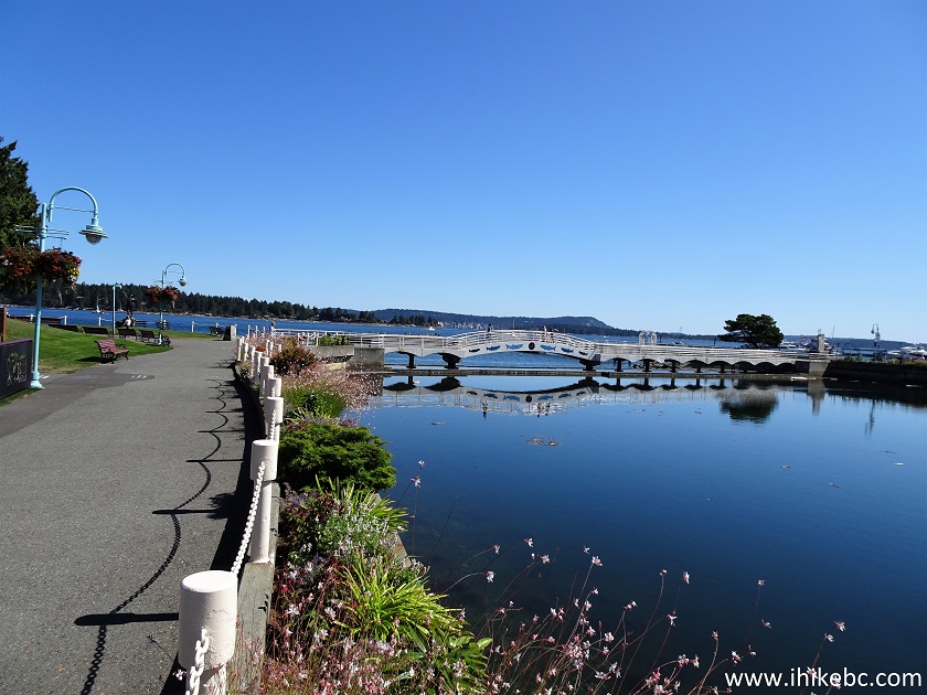
Nanaimo Maffeo Sutton Park
5. And here is Newcastle Island Ferry dock in Nanaimo's Maffeo Sutton Park. Coordinates:
N 49⁰10.835' W 123⁰55.715'. Elevation: -3 meters.
Newcastle Island Ferry Dock - Maffeo Sutton Park - Nanaimo BC Canada
6. The entrance to the dock.
Entrance to Newcastle Island Ferry Dock
7. The ferry schedule and ticket prices.
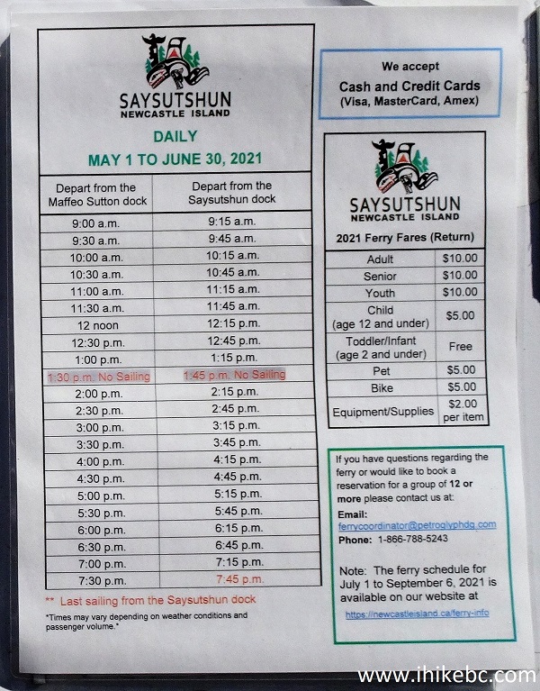
Newcastle Island Ferry 2021 Schedule and Ticket Prices
8. We are now boarding the ferry.
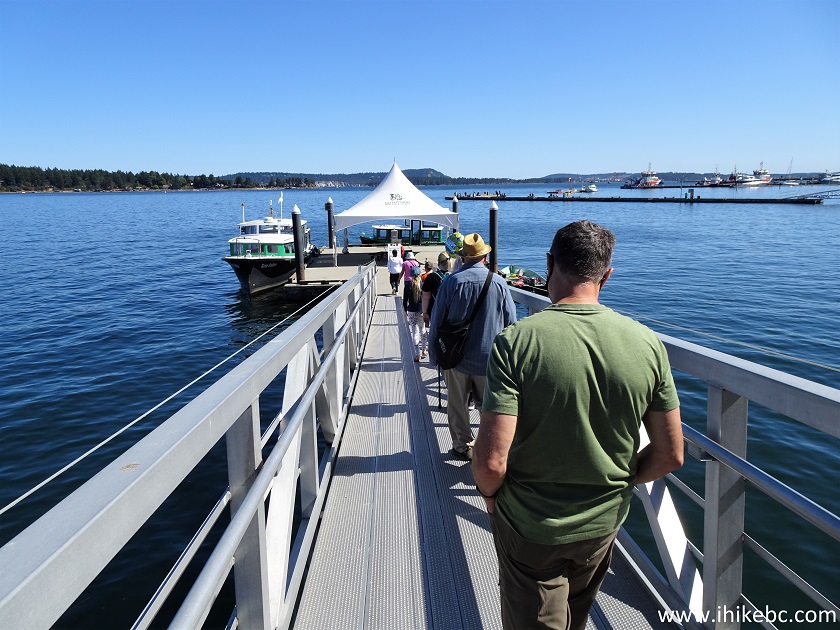
Newcastle Island Ferry Line-up in Nanaimo BC
9. Our captain is on the left, bouncing the basketball.
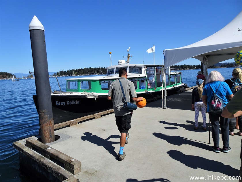
Getting Ready to Board Newcastle Island Ferry
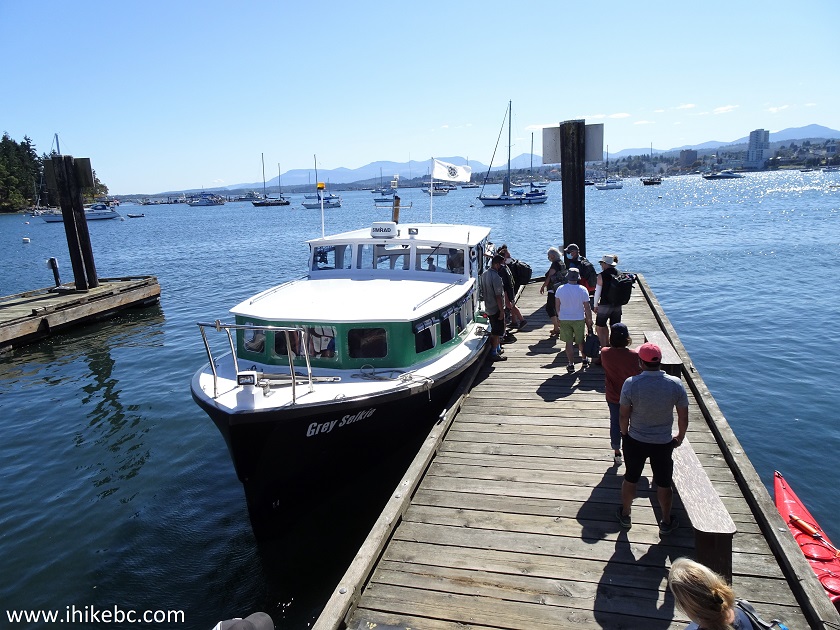
10. Grey Selkie is a larger ferry, which is the one we took today. A smaller ferry was present as well, probably used when it's not as busy.
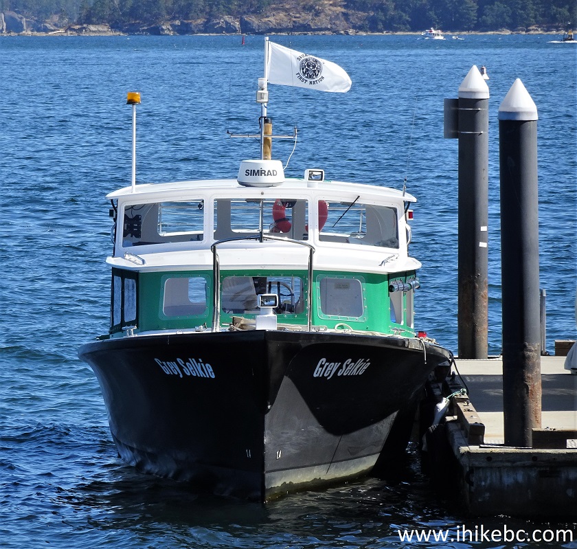
Grey Selkie Newcastle Island Ferry
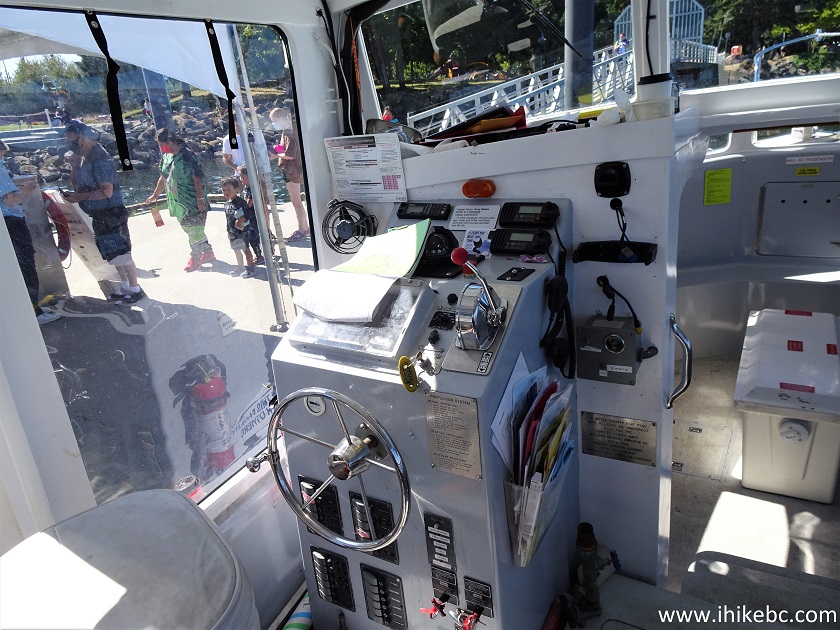
11. Entering Grey Selkie Newcastle Island ferry. This is the captain's seat.
Inside Grey Selkie Ferry
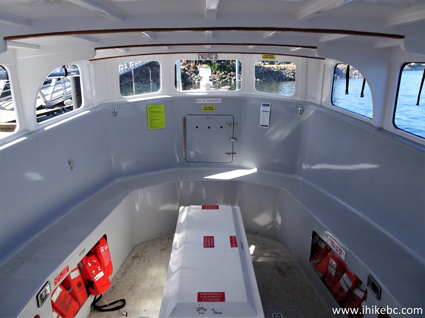
12. The seating area in the front of the ferry.
Seating Area Grey Selkie Newcastle Island Ferry
13. Looking back.
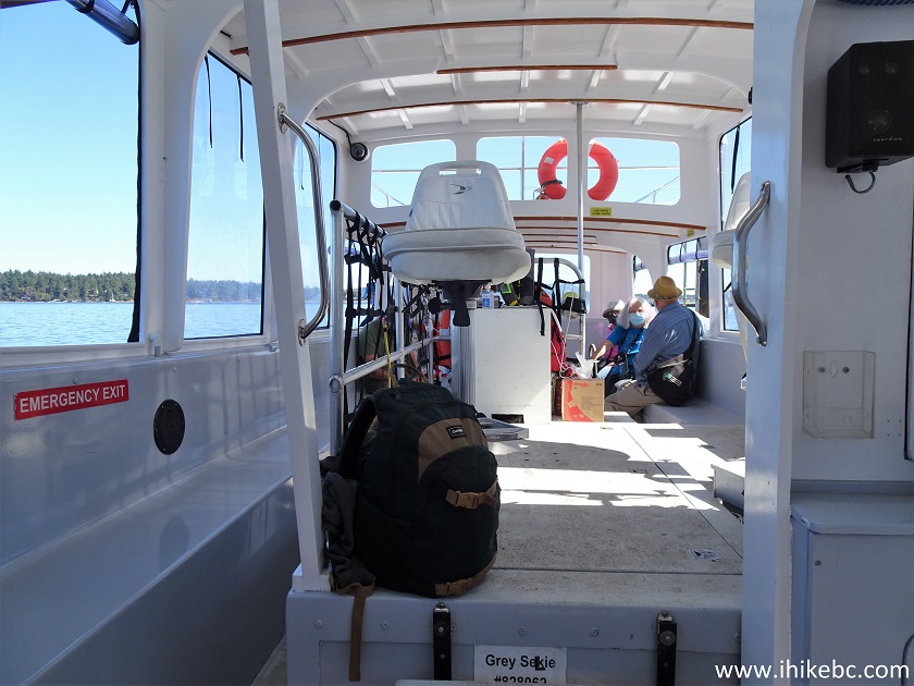
Inside Grey Selkie Ferry to Newcastle Island
14. The ferry ride took just over six minutes. It's quite pleasant, with good views, and lots of boats and yachts on both sides, with an occasional kayak.
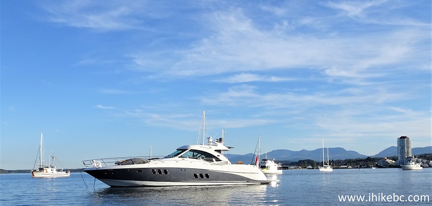
Yacht Docked Near Nanaimo BC Canada
Here is our video of entire 6+ minutes ferry ride from Nanaimo to Newcastle Island.
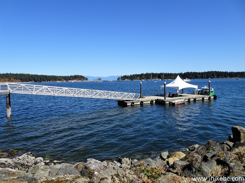
15. We have now reached Newcastle Island, disembarked, and are looking at the passengers boarding the ferry on the way back to Nanaimo. Coordinates:
N 49⁰11.491' W 123⁰56.771'. Elevation: sea level.
Newcastle Island Ferry Dock
Here is our video of the ferry departing Newcastle Island.
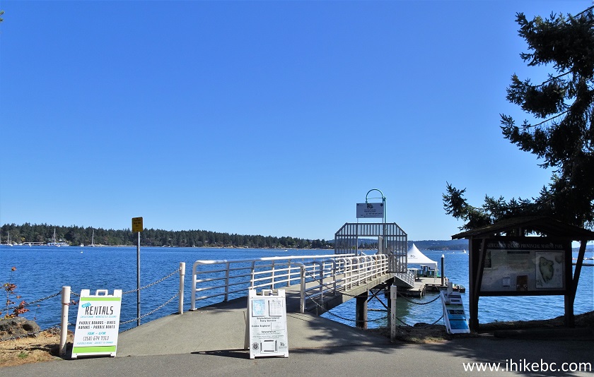
16-17. Time to go hiking.

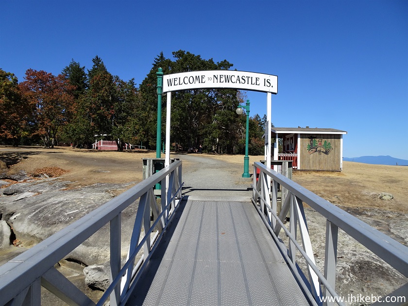
Welcome to Newcastle Island Sign
18. Newcastle Island Marine Provincial Park Welcome Pole, just past a small shack seen in the photo above. A building renting bicycles and kayaks is about a hundred meters to the right. The washroom building (with a coin shower) is about a hundred meters to the left.
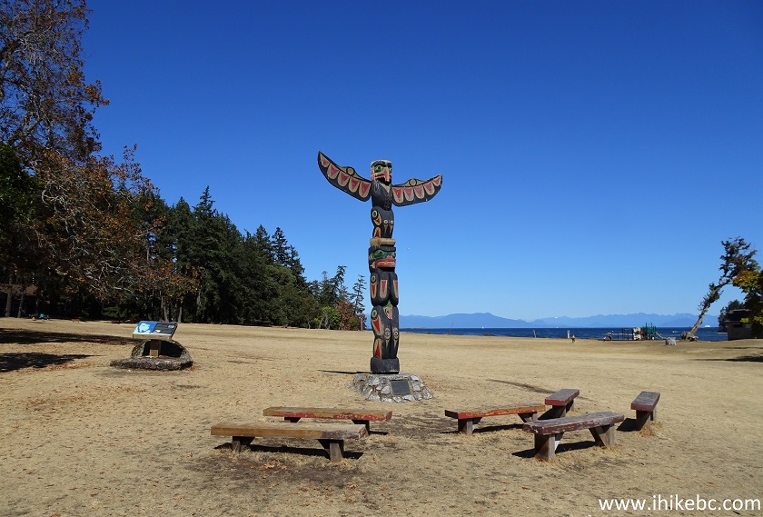
Newcastle Island Marine Provincial Park Welcome Pole
19. Here is a map of Newcastle Island with all the trails. Bicycles are allowed only on the trails marked in red. As you can see, only hiking is permitted for most of the perimeter trail, which is 7.5 km long. By the way, the B-E distance (3.5 km) on the map is incorrect. It's likely only 1.5 km.
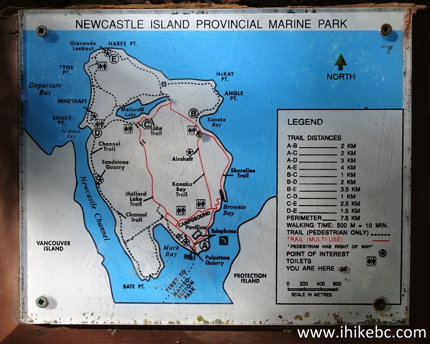
Newcastle Island Hiking Trails Map
20-21. We headed to the shore on the right side, and the trail was right there. In the second photograph we are 430 meters from the ferry dock (all distances are based on a GPS odometer and are approximate).


Newcastle Island Perimeter Trail near Nanaimo BC
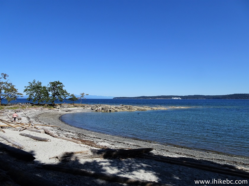
22. There are not too many people to begin with, and, the further you go, the fewer people you encounter. There are also several of these mini-coves in the first few kilometers of Newcastle Island Perimeter Trail.
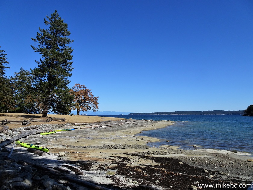
Newcastle Island
23. Newcastle Island is located very close to Departure Bay Ferry Terminal, so you get to see lots of Nanaimo - Horseshoe Bay ferries during the hike.
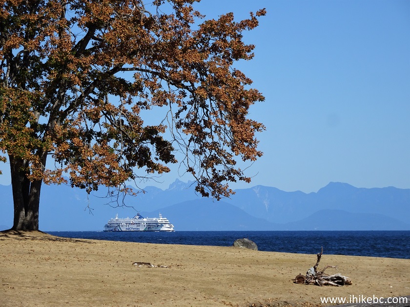
BC Ferry Seen from Newcastle Island
24. Newcastle Island Perimeter Trail is actually a series of smaller trails, and this one is called Shoreline Trail.
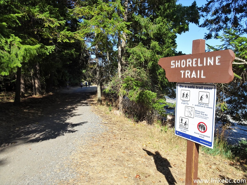
Shoreline Trail Newcastle Island BC
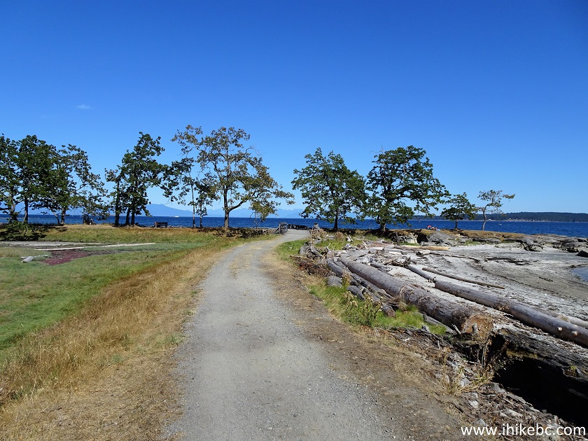
25. Another fine mini-cove on Newcastle Island.
Newcastle Island British Columbia Canada
26. Now at 850 meters from the ferry dock.
Newcastle Island Perimeter Trail - Hiking in Nanaimo BC Area
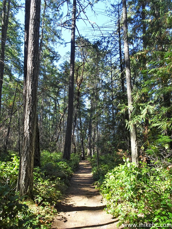
27. At about the 1 km mark, the perimeter trail becomes a very easy and pleasant walk in a forest, with ocean views on the right. At 1.15 km here.
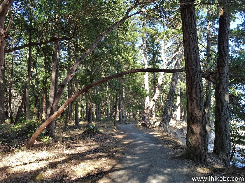
Newcastle Island Perimeter Hike near Nanaimo BC Canada
28. At 1.95 km, Shoreline Trail reaches Kanaka Bay Trail. Turn right.
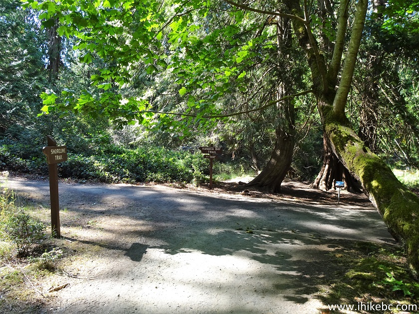
Shoreline Trail at Kanaka Bay Trail - Newcastle Island
29. Kanaka Bay.
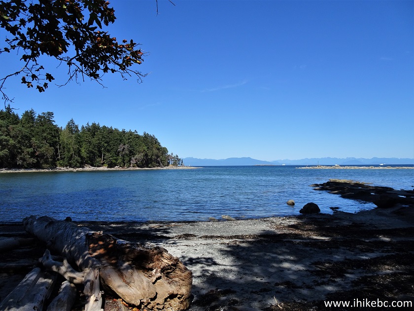
Newcastle Island Kanaka Bay
30. Lake Trail intersection arrives at 2.10 km. Make another right turn.
Shoreline Trail at Lake Trail on Newcastle Island BC
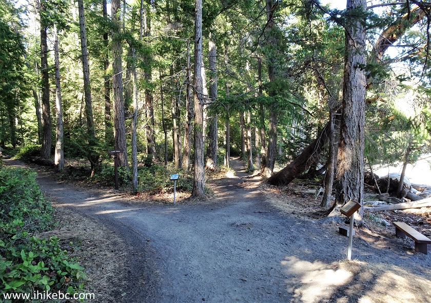
31. At 3.3 km, there is a T-junction. One more right turn here. One would think, since the goal is to hike the perimeter of the island, right turns are in order at all times. However, this proved not to be the case at a later point, where we got briefly lost due to a lack of signage.
Newcastle Island Hiking - Perimeter Trail
32. Now at 3.8 km from the ferry dock.
Newcastle Island Perimeter Trail in Nanaimo BC Area
J
ust about here, we heard quite a substantial noise to our right, took a look, and there it was, Canadian Coast Guard Air Cushion Vessel Siyay.Here is our video of Siyay passing by Newcastle Island.
More ihikebc videos are on our YouTube Channel.
33. At 4.0 km, we are at Giovando Lookout.
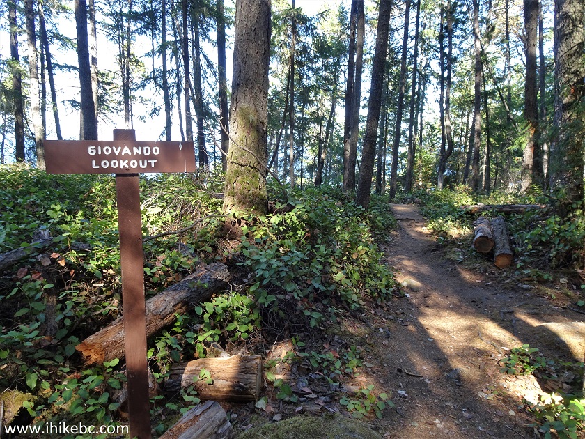
Newcastle Island Perimeter Trail at Giovando Lookout Access Path
34. There is a gazebo and a viewpoint.
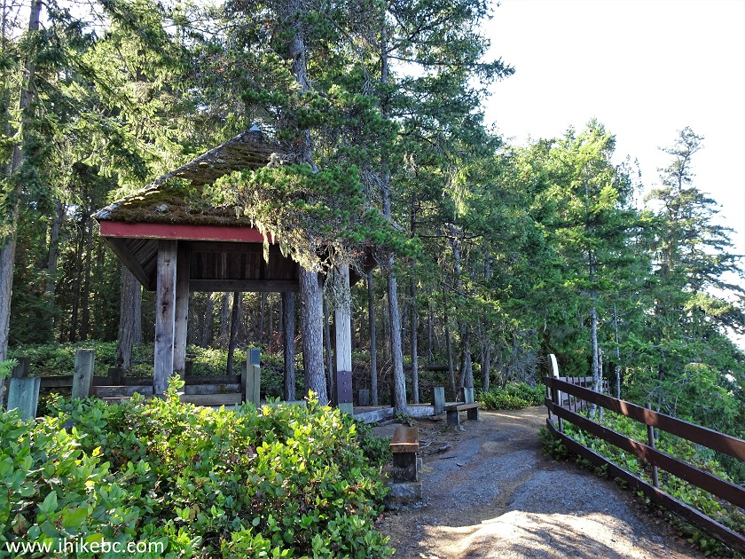
Giovando Lookout on Newcastle Island British Columbia
35. The view from Giovando Lookout. A small Jesse Island at the entrance to Departure Bay can be observed just in front of Vancouver Island.
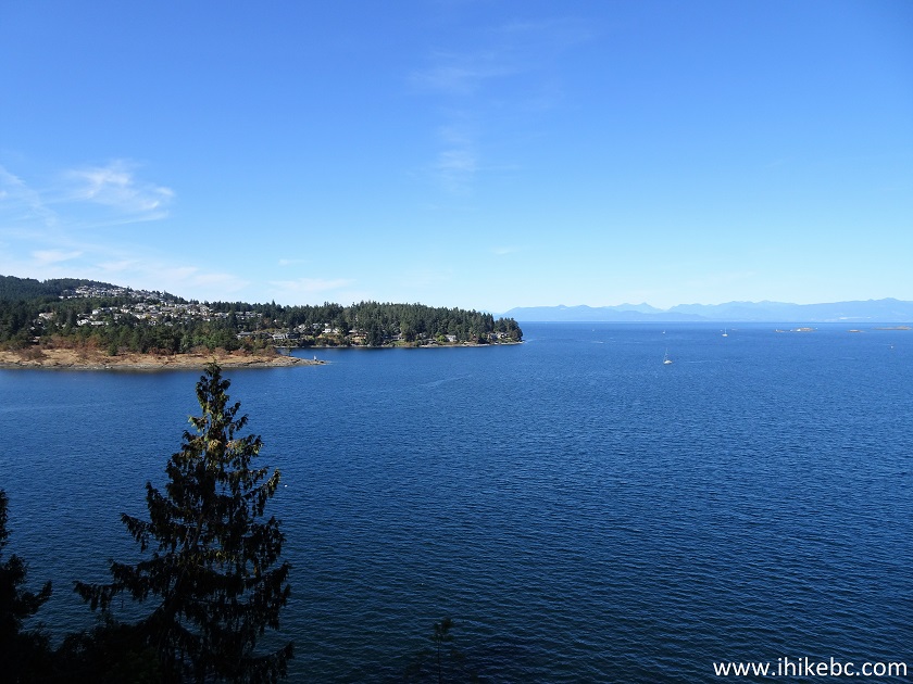
View from Giovando Lookout on Newcastle Island
36. With much zoom, we can see a lighthouse on Jesse Island.
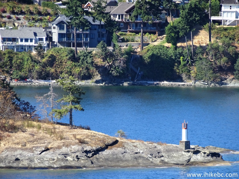
Jesse Island British Columbia
Our Newcastle Island Trail Hike Continues on Page 2.


|
 |
![]()
![]()
![]()
ihikebc.com Trip 229 - Newcastle Island Trail Hike (Near Nanaimo BC) Page 1 of 2