![]()
![]()
![]()

Trip 094 - August 3, 2015 (Monday)
Bergeron Falls Trail Hike
Near Tumbler Ridge BC
Page 1 of 2
Location: Northeastern British Columbia.
Turn onto Sanctuary Road off Highway 29 approximately seven kilometers Northwest of Tumbler Ridge,
then drive for eight kilometers on a gravel road to the trailhead.
Liked: Bergeron Creek canyon, interesting side trails, excellent interpretive and directional signs, few flies.
Of note: Remote wilderness area, unbarricaded drop-offs, the waterfall underwhelms. Several creek crossings required. Bergeron Creek might be impassable. Hiking poles and boots are recommended.
Northern BC Backroad Mapbook (3rd edition) Coordinates: Page 44 (Tumbler Ridge) D1.
Related Trip: Bergeron Cliffs Trail Hike.
Related Website: Map and Brochure of Bergeron Falls Hike - PDF file from wnms.ca.
>>> British Columbia Waterfalls Visits.
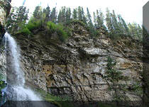
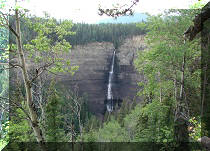
Bergeron Falls is a very tall waterfall, which, whether it was because of the small volume of falling water, the grim-looking Bergeron Falls Canyon, or both, just failed to impress. However, the hike is still very worthwhile for several reasons, one of them being a picturesque, if not very large, Bergeron Creek Canyon. Check out wnms.ca link above, in order to get a better understanding of the map of this trail, as it is somewhat complicated.
1. To get to Bergeron Falls trailhead, turn off from Highway 29 about seven kilometers Northwest of Tumbler Ridge. Here we are driving Southeast on Highway 29 (from Chetwynd) and getting ready to turn left onto Sanctuary Road. Coordinates for the turnoff: N 55⁰08.315' W 121⁰03.792'.
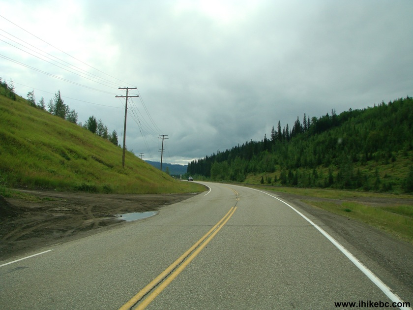
BC Highway 29 at Sanctuary Road by Tumbler Ridge British Columbia Canada
2. Sanctuary Road is somewhat rough for the first few hundred meters, but then gets better.
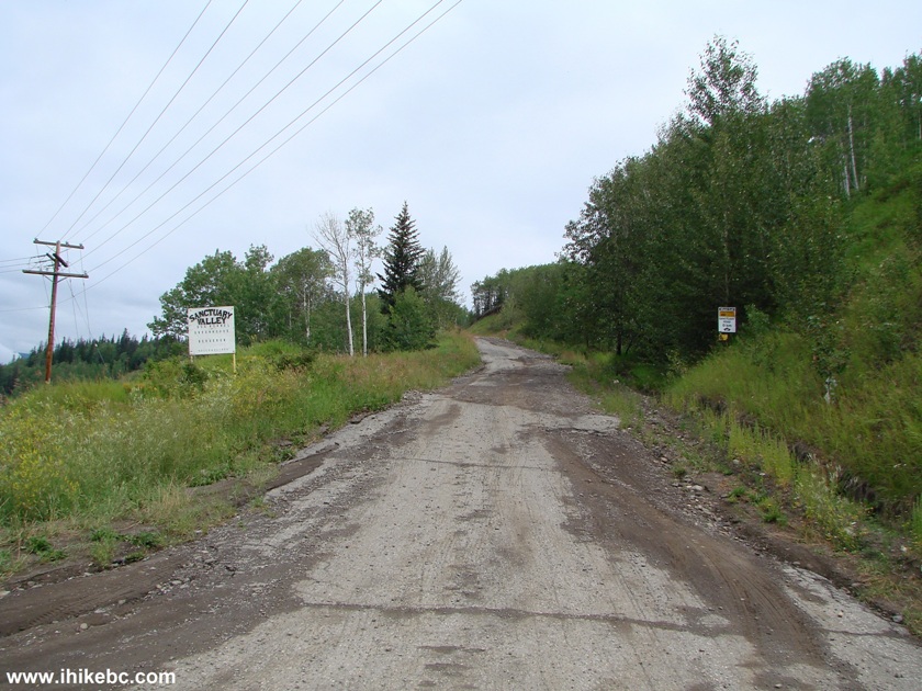
Photo of Sanctuary Road near Tumbler Ridge BC Canada
3. Here is the better part of Sanctuary Road.
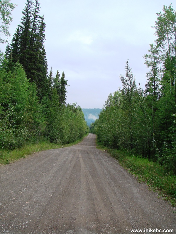
Gravel Road to Bergeron Falls and Bergeron Cliffs Trailhead
4. There is a split after 6.2 km on the gravel road. Stay left to get to Bergeron Falls (and Bergeron Cliffs) trailhead. There is also an abandoned house at this split.
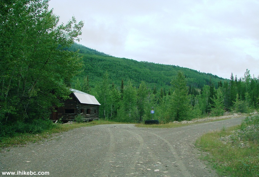
Abandoned House on Bergeron Falls and Cliffs Access Road
5. The abandoned house from the other side.
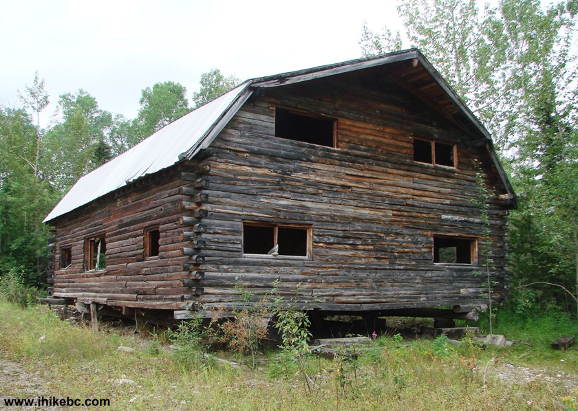
Abandoned House
6. A big mess inside the house.
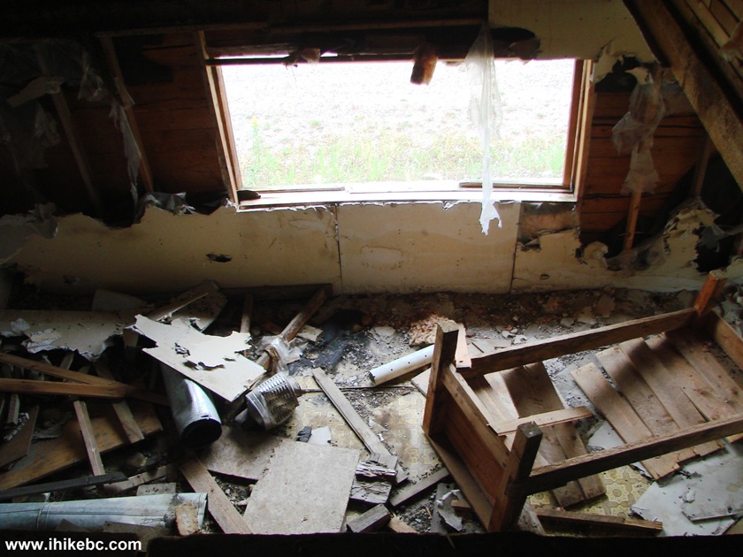
Big Mess Inside and Abandoned House
7. A former bath.
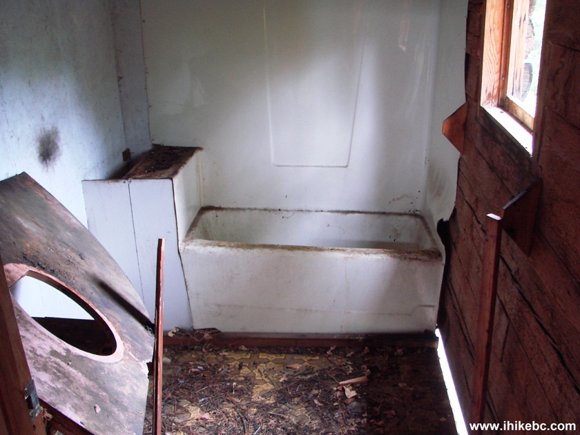
Bathtub inside and abandoned house
8. A former bed.
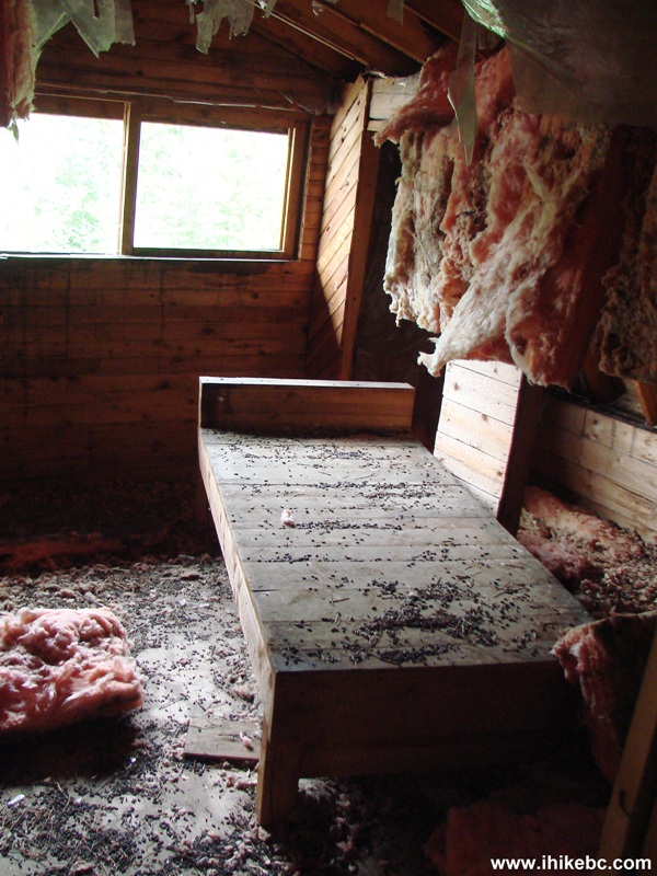
Bed inside an abandoned house
9. Nearly eight kilometers after turning off Highway 29, we have arrived to the parking area. The trailhead is on the left side.
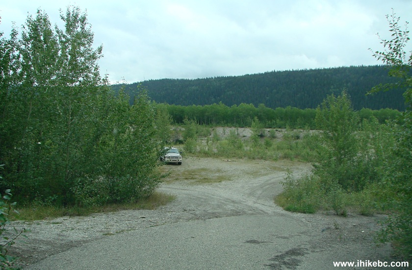
Parking Area for Bergeron Falls and Bergeron Cliffs Trails
10. The trailhead. Both Bergeron Falls and Bergeron Cliffs trails start here.
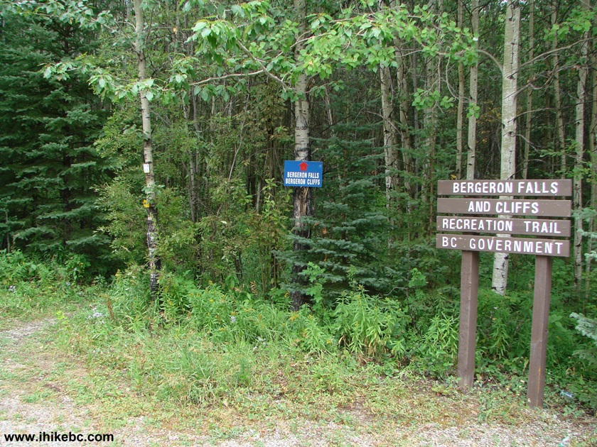
Bergeron Falls and Cliffs Trailhead by Tumbler Ridge BC Canada
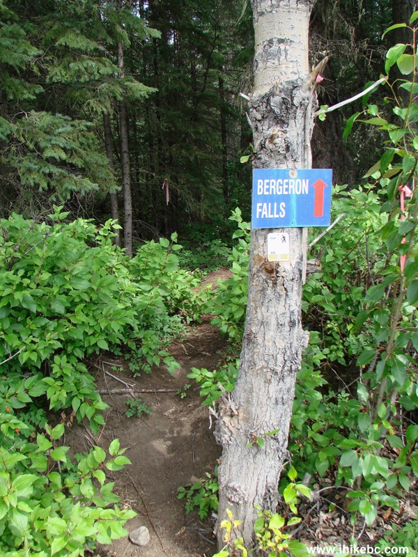
11. At first, the trail climbs steadily and makes you sweat. In ten minutes, there is a split. Bergeron Cliffs Trail is to the left, and Bergeron Falls to the right.
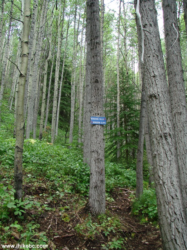
Tumbler Ridge Hike -
Bergeron Falls and Bergeron Cliffs Trail Split
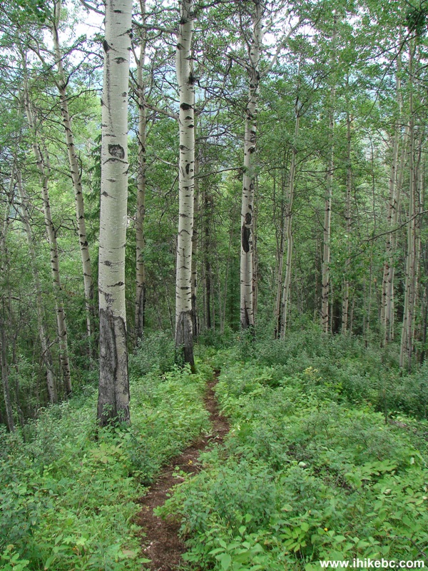
12. Soon, the trail becomes a nice level walk in the forest.
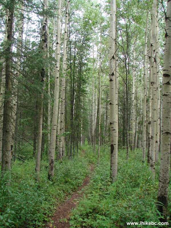
Tumbler Ridge Hiking -
Bergeron Falls Trail BC Canada
13. About forty minutes into the hike, the circular route begins. Two other signs indicate that it would take 2 hours to reach the top of the Falls (by going left) and 2.5 hours to reach the base of the Falls (by going right). We took the right path to go counter clockwise, as recommended by a sign with an arrow.
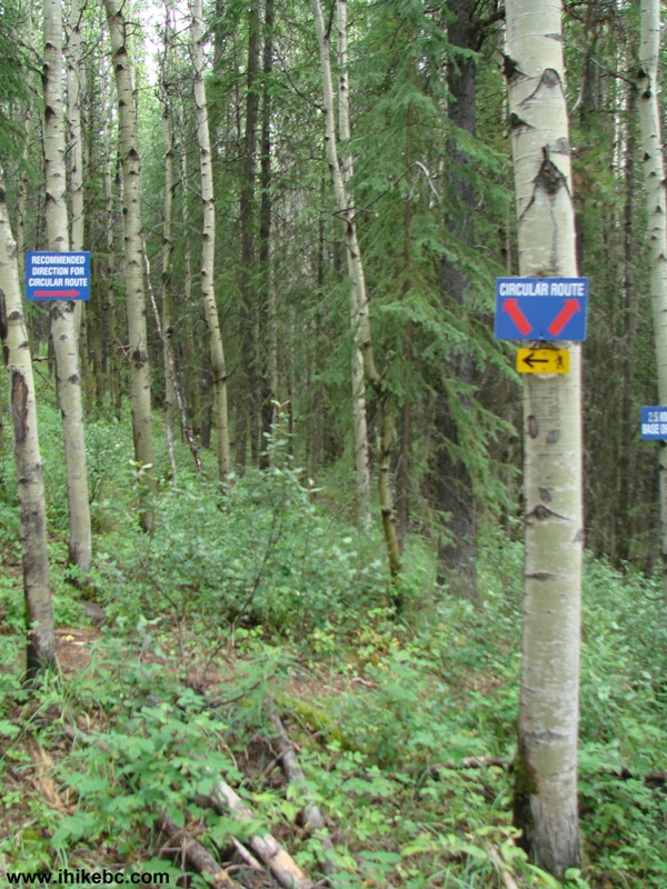
Bergeron Falls Trail Start of Circular Route
14. You have an option of viewing Bergeron Falls from above, or going to the bottom of the waterfall, or both. We did both; though, as the sign below advises, Bergeron Creek may be impassable. In which case, your only option would be to go left at the circular route start, and see the waterfall from above.
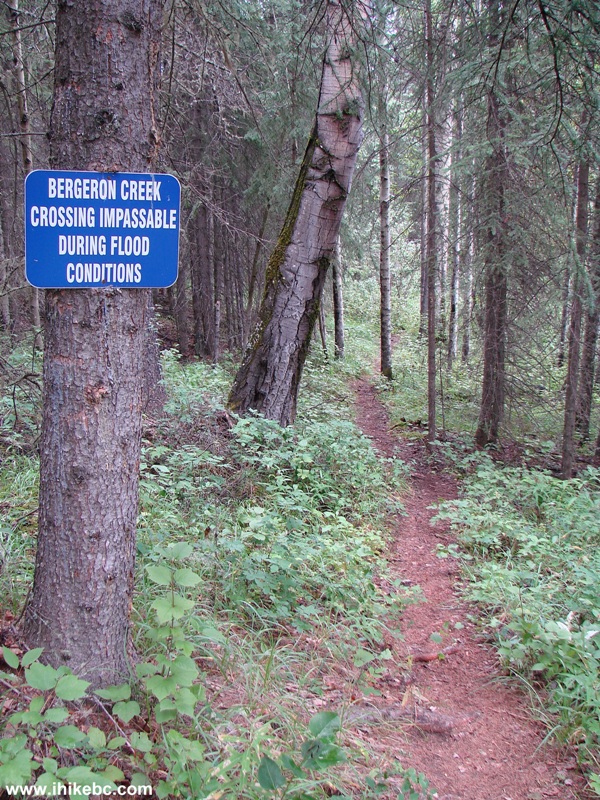
Hike in Tumbler Ridge Area -
Bergeron Creek Impassable Warning - Bergeron Falls Trail
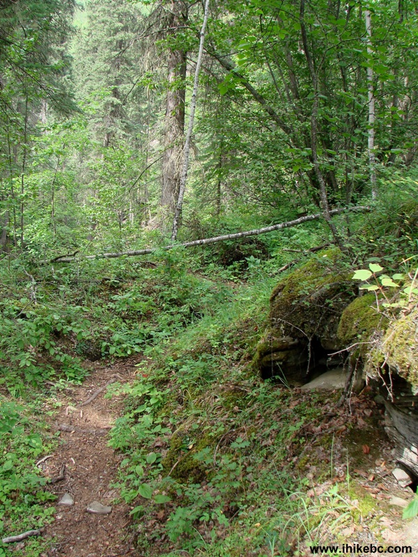
15. Ten minutes after the beginning of the circular hike, the path starts going down.
Bergeron Falls Trail by Tumbler Ridge British Columbia Hiking Canada
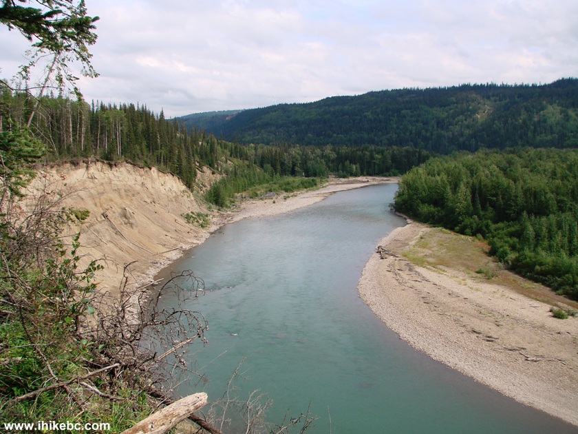
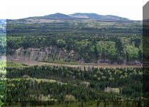
16. And, soon, there is a good view of Murray River.
Murray River View from Bergeron Falls Trail BC Canada
17. A ridge walk follows.
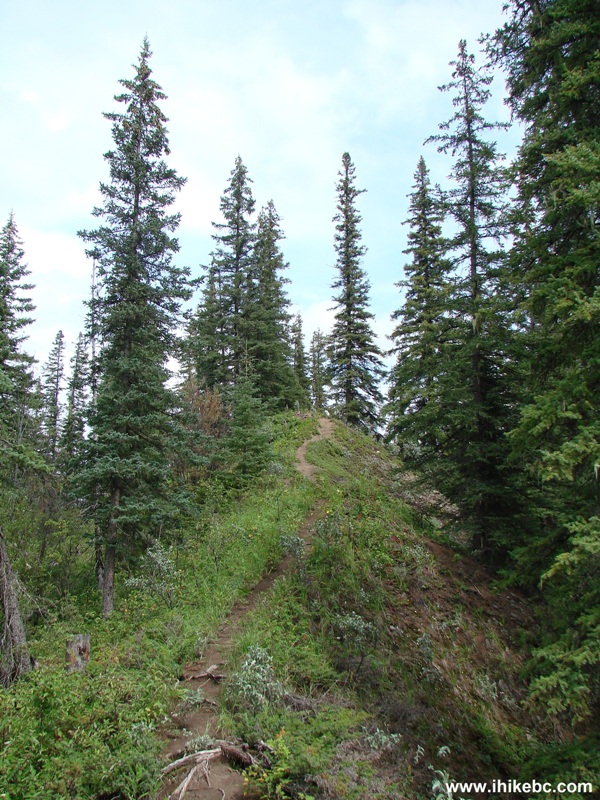
Walking on the Ridge - Bergeron Falls Trail - Hike in British Columbia
18. And, shortly, there is a sign explaining why a bridge across Bergeron Creek where it meets Murray River is not going to happen.
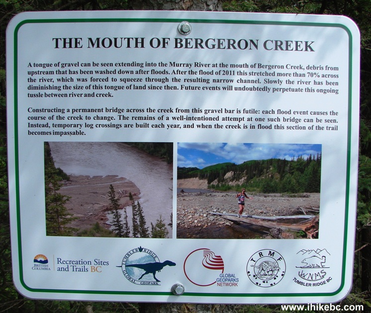
Information Sign About the Mouth of Bergeron Creek
19. We are then directed to follow painted stakes for the next 200 meters.
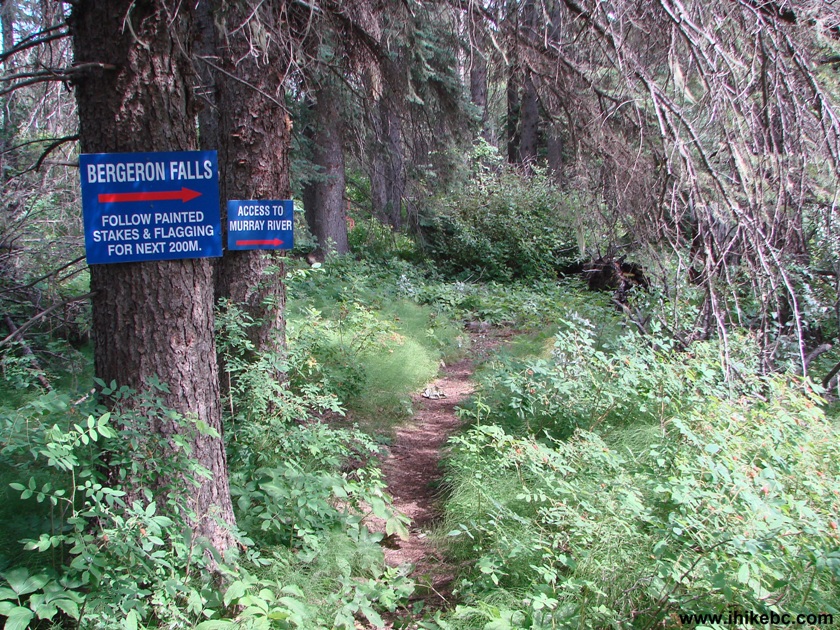
BC Hiking -
Bergeron Falls Trail by Tumbler Ridge BC Canada
20. Here are the painted stakes to follow, as we walk along Murray River, and then cross a tame (this time) Bergeron Creek.
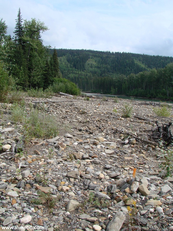
Bergeron Falls Trail Along Murray River BC Canada
21. A sign directs us back into the woods.
Bergeron Falls Trail
22. Ten minutes later, we are at an intersection. Going right would bypass the canyon. Going left would lead to the canyon, and would require some scrambling to rejoin the trail. Scrambling isn't too hard, but, if you don't feel like doing it, you can always retrace your steps after checking out the canyon, which is, arguably, the best part of the hike.
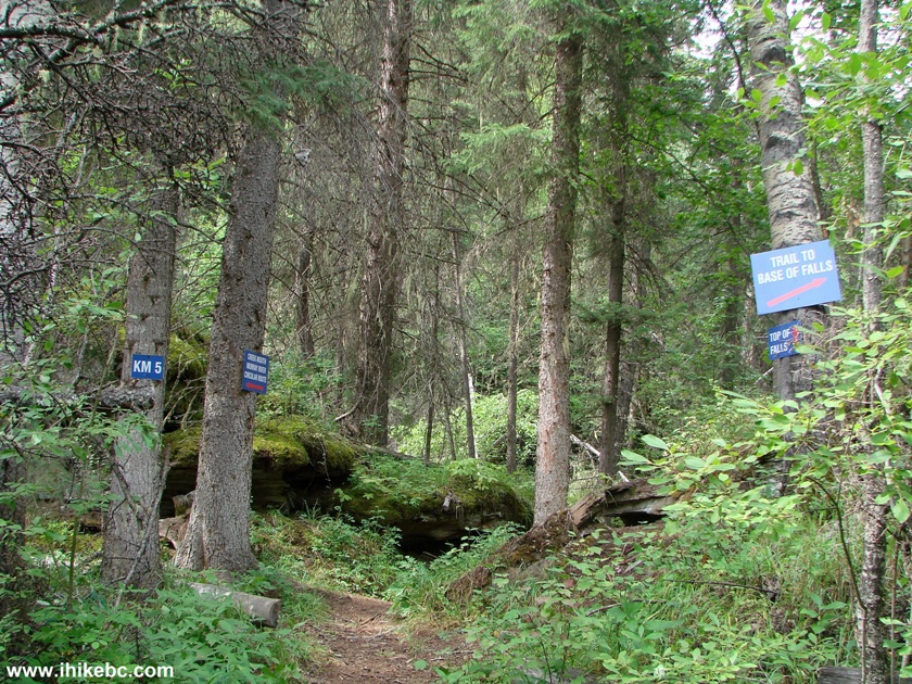
Photo of Bergeron Falls Trail BC Canada
23. So, we took the path to the left towards the canyon.
Bergeron Falls Trail Towards Bergeron Creek Canyon
24. Walking along Bergeron Creek.
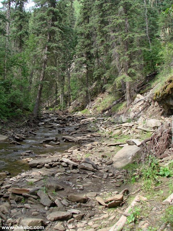
Walking Along Bergeron Creek
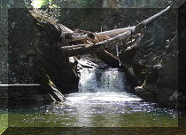
25. A fallen tree across the creek.
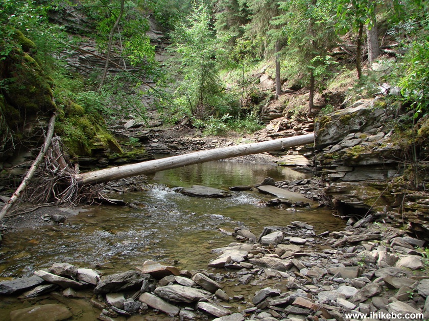
Bergeron Creek British Columbia Canada
Our Bergeron Falls Hike Trip Report Continues on Page 2.


|
 |
Other Trips in Tumbler Ridge BC Area:
|
|
|
|
|
|
|
|
|
|
|
|
|
|
|
|
|
Monkman
Falls Hike
|
|
Windfall Lake Trail  |
|
Cowmoose Mtn Trail
|
|
Bootski Lake Trail  |
|
Murray Canyon
Overlook
|
|
Quality Canyon Trail  |


![]()
![]()
![]()
ihikebc.com Trip 094 - Bergeron Falls Trail Hike (near Tumbler Ridge BC) Page 1 of 2