![]()
![]()
![]()

Trip 204 - May 4, 2021 (Tuesday)
Capilano River Regional Park
North Vancouver, BC
Page 1 of 2
Distance from Vancouver: 6.7 km from the South end of the Lions Gate Bridge.
Liked: Capilano Lake views, Capilano Canyon views, Cleveland Dam views, smooth and wide forest paths.
Of Note: The park is very popular. Parking could be an issue. The maze of trails can be confusing even with a map.
Vancouver, Coast & Mountains Backroad Mapbook (5th edition) Trailhead Coordinates: Page 11 (North Vancouver) D7.
Related Website: Capilano River Regional Park - Metro Vancouver Official Website.
Capilano River Regional Park is located off Capilano Road in North Vancouver, just North of Capilano Suspension Bridge. It's an easy park to get to, and, provided you can find parking on a fairly small (about 50 vehicles) and free lot, the great views are just around the corner. Capilano Lake looks great, and Cleveland Dam, which is powered by Capilano River flowing out of Capilano Lake, is something to behold. There are numerous short intersecting and looping trails in Capilano River Regional Park, which made route finding difficult even with a map. That said, we did eventually figure things out, and ended up at two impressive canyon viewpoints off two of the trails.
The parking issue is mitigated by the availability of public transit running on Capilano Road, and there are also several parking lots located off the main entrance, which would require some hiking to get to the Capilano Lake and Cleveland Dam main viewpoints.
There is also a connecting trail from Ambleside Park, so there is an option of parking there, and then hiking to Capilano River Regional Park.
1. Here is a map of Metro Vancouver Regional Parks and Greenspace, posted at Capilano River Regional Park. We have highlighted this park with a red box
.
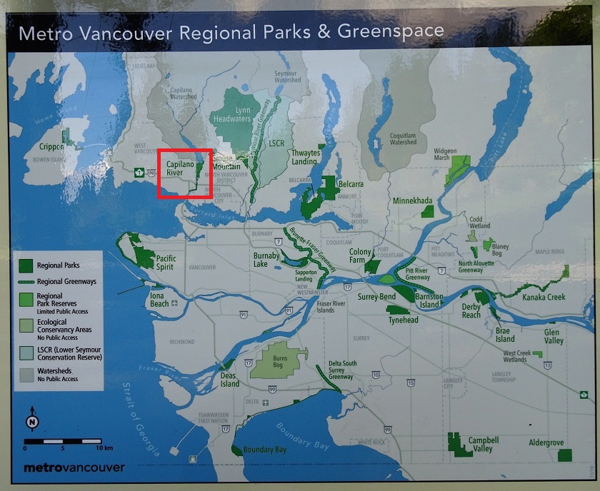
Metro Vancouver Regional Parks & Greenspace Map
2. And this is a photo of the map of the trails in Capilano River Regional Park. The red line shows our track to the Second Canyon Viewpoint (via Cable Pool, marked by a sign of a person holding binoculars), and the blue line shows our track back to the main parking lot. We have placed a red square over the main parking lot. You can also see additional parking options marked by the P signs.
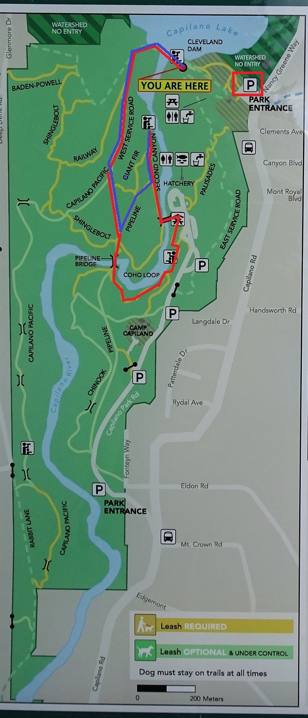
Capilano River Regional Park Map
3. To get to Capilano River Regional Park from downtown Vancouver,
we are Westbound on Georgia Street, just past Denman Street, approaching Stanley Park Causeway.
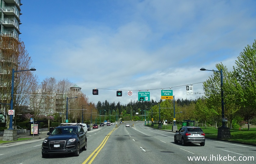
Georgia Street at Denman Street Vancouver BC Canada
4. Now approaching the Lions Gate Bridge.
Stanley Park Causeway
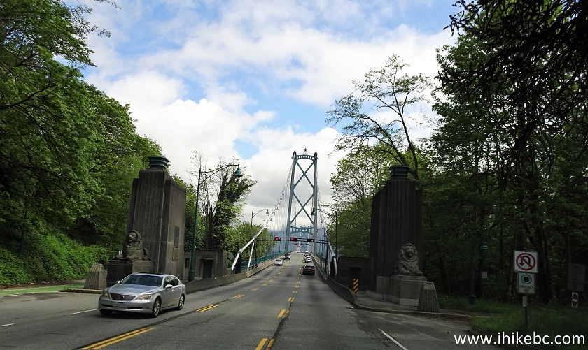
5. Crossing the Lions Gate Bridge.
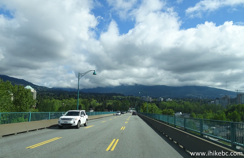
Lions Gate Bridge
6. At the North end of the bridge, stay right to get to Marine Drive.
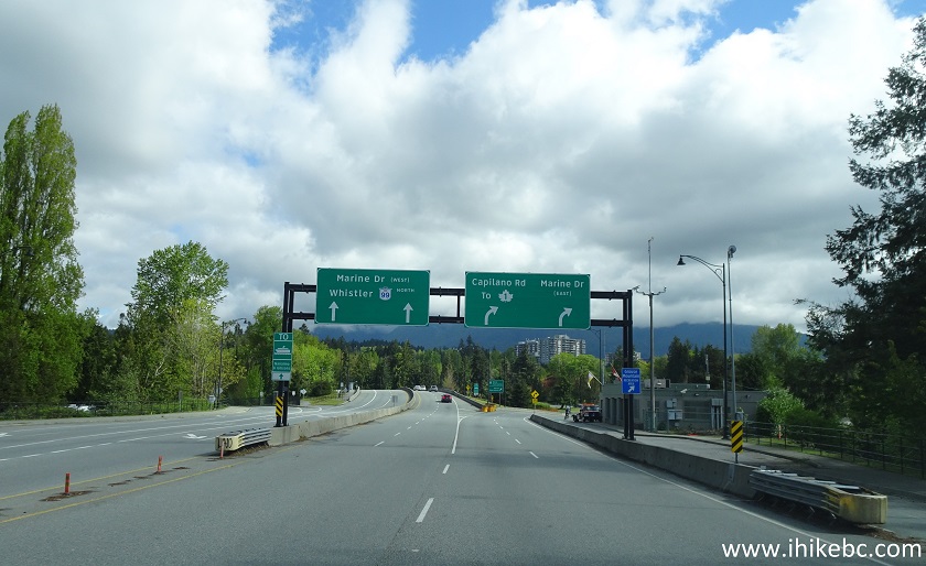
North End of Lions Gate Bridge
7. At the first intersection (2.4 km from the start of the Lions Gate Bridge in Stanley Park), make a left turn onto Capilano Road.
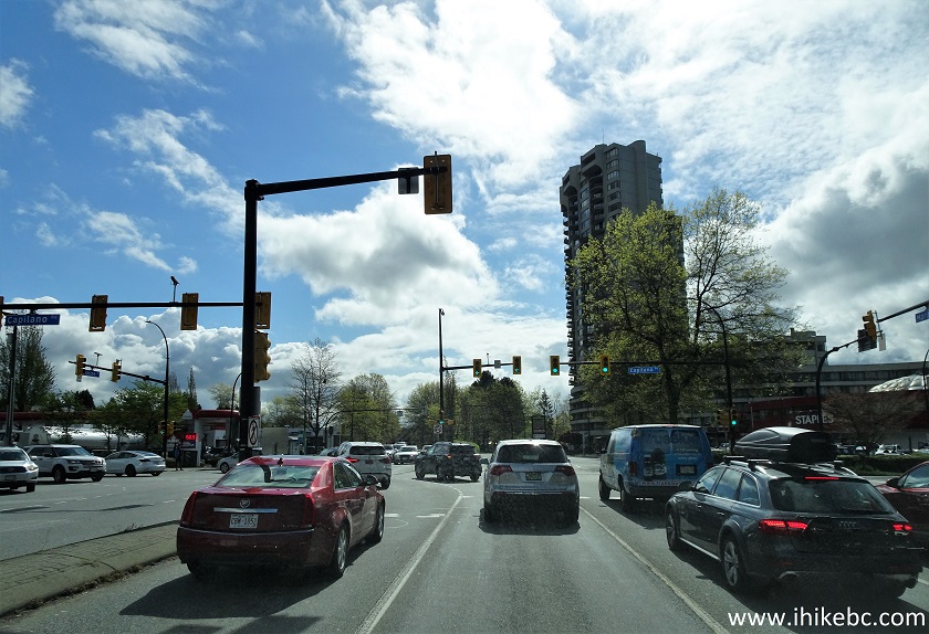
Marine Drive at Capilano Road North Vancouver BC Canada
8. Drive on Capilano Road for the next 4.3 kilometers.
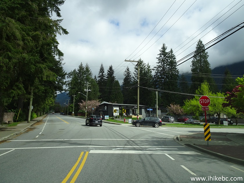
Capilano Road North Vancouver British Columbia
9. Approaching Capilano River Regional Park entrance on the left side, 6.7 km from the start of the Lions Gate Bridge in Stanley Park.
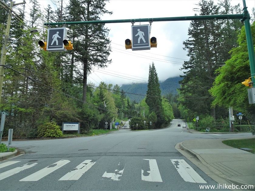
Capilano Road at Capilano River Regional Park
10. At the main entrance to Capilano River Regional Park.
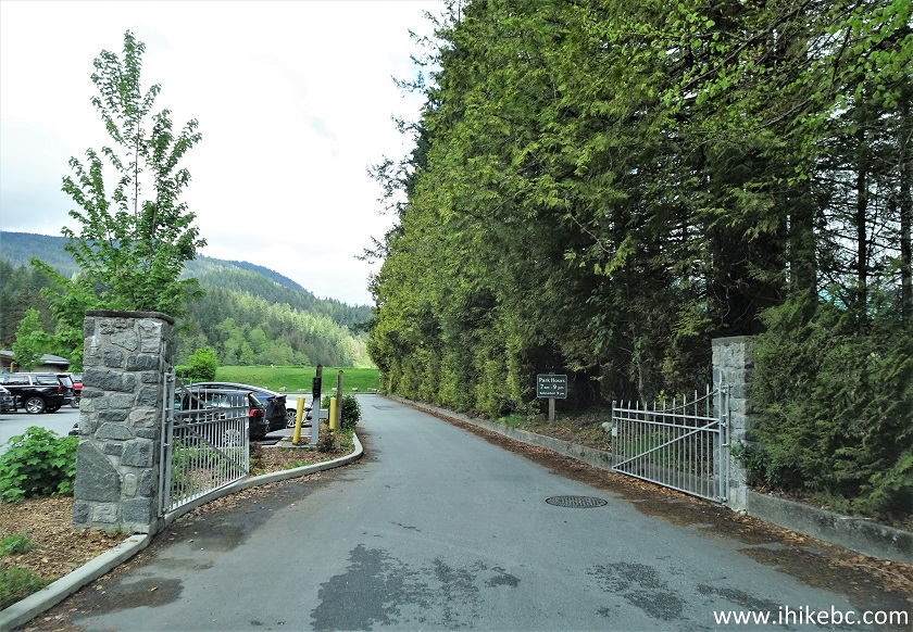
Capilano River Regional Park Main Entrance
11. The main parking lot is good for about 50 vehicles. Coordinates:
N 49⁰21.544' W 123⁰06.430'. Elevation: 155 meters. Parking is free.
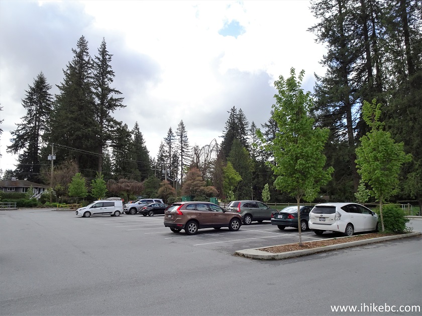
Capilano River Regional Park Parking Lot
12. Capilano Lake is straight ahead, behind some bushes and a large green lawn with benches. Here are the bushes.
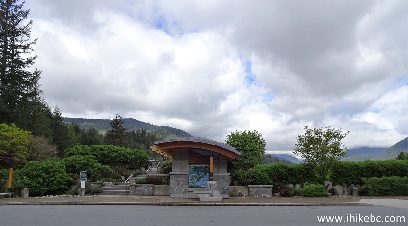
Capilano River Regional Park North Vancouver BC Canada
13. And here is a large green lawn with benches.
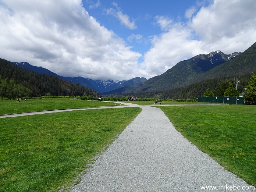
Capilano River Regional Park
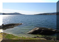
14. Capilano Lake.
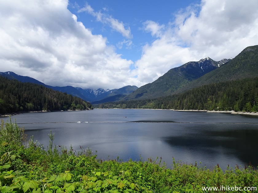
Capilano Lake
Here is Our Video of Capilano Lake.
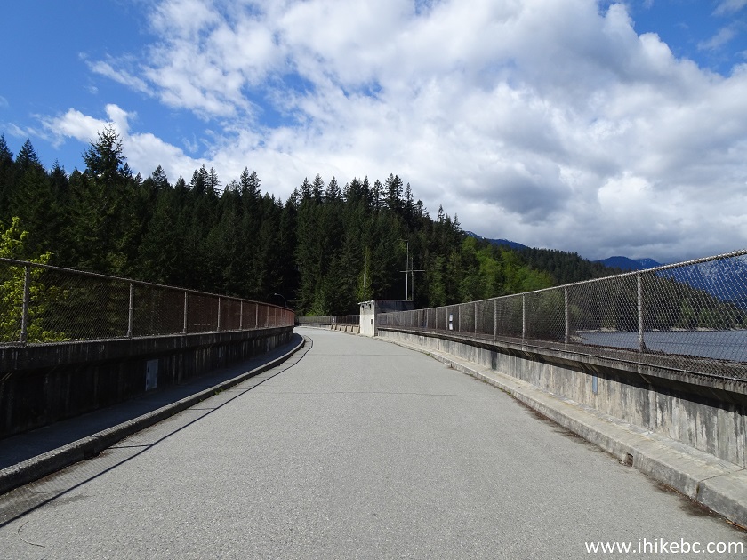
15. To the left of the lake is Cleveland Dam causeway.
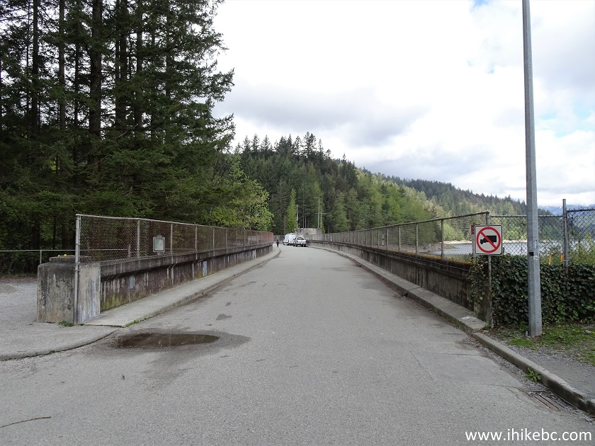
Cleveland Dam Causeway
16. To the right of this barrier is a short walk to the top of the dam, and, to the left, is the way to the bottom view and to the hatchery.
Capilano River Regional Park
17. Let's go to the left first.
Capilano River Regional Park North Vancouver British Columbia Canada
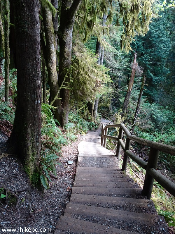
18. The stairs to the bottom view and to the hatchery.
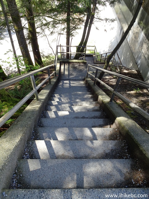
Stairs to Lower Cleveland Dam View
19. Once done with the stairs, the dam view is very close by to the right, and the hatchery is still some distance away to the left.
Capilano River Regional Park near Lower Dam Viewpoint
20. We skipped the hatchery and went for the view.
Cleveland Dam Capilano River Regional Park North Vancouver British
Columbia Canada
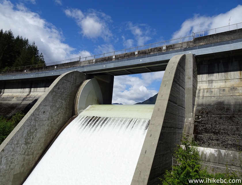
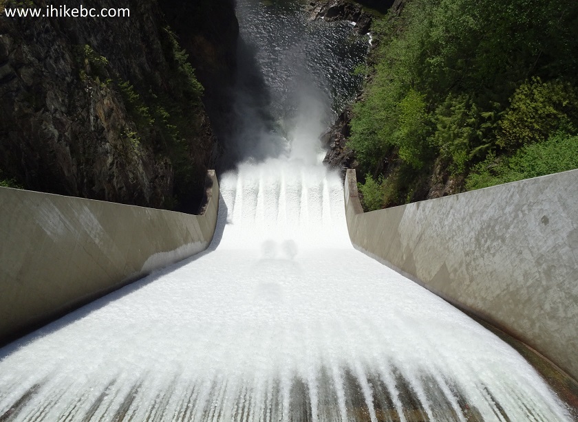
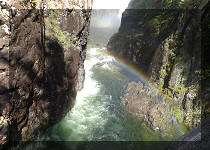
21. Quite a view.
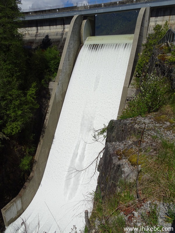
Cleveland Dam
22. Zooming in.
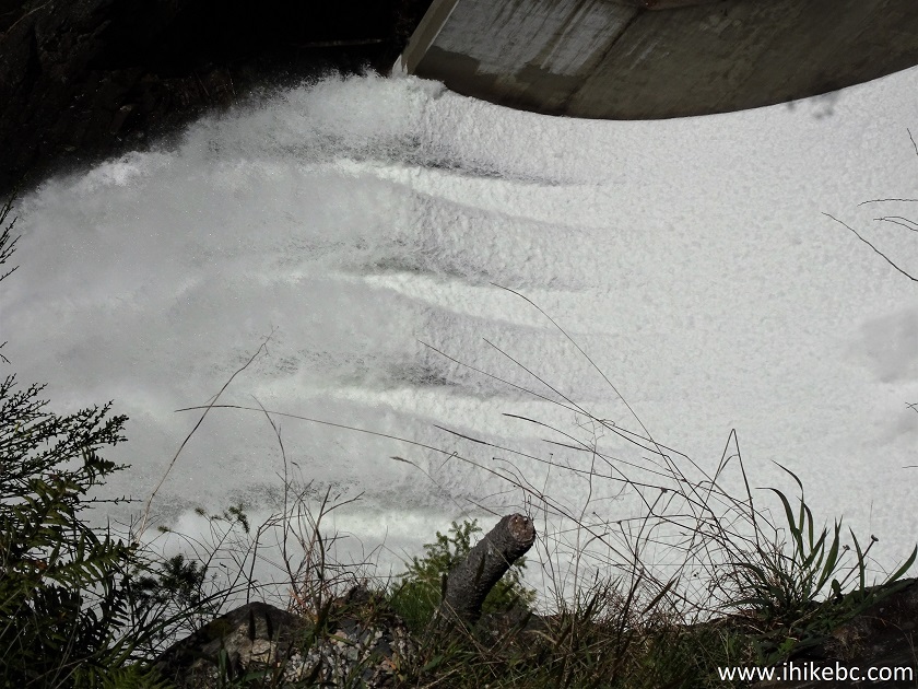
Zoomed View of the Bottom of Cleveland Dam
Here is Our Video of the Lower Dam View.
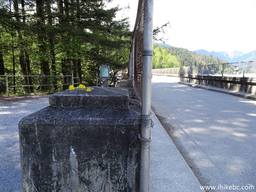
23. Now we are back on the causeway to the right of the barrier, approaching the top Cleveland Dam view.
Capilano River Regional Park - Cleveland Dam Causeway
24. Still very impressive.
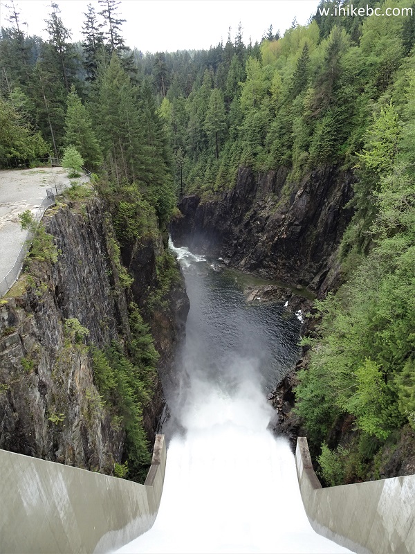
Cleveland Dam and Capilano River Canyon
25. Cool.
Cleveland Dam North Vancouver BC
26. With some zoom.
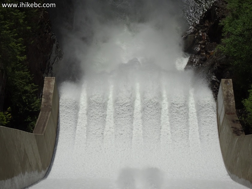
Cleveland Dam Zoomed View
Here is Our Video of the Top Cleveland Dam View.
More ihikebc videos are on our YouTube Channel.
27. Across from the causeway, there are some useful messages on the fence by the lake.
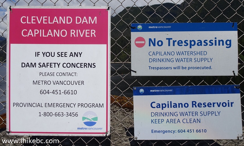
Capilano Dam and Capilano Reservoir Warning Messages
28. There are several "photo windows" in the fence (seen in the video), allowing for another picture-perfect lake shot.
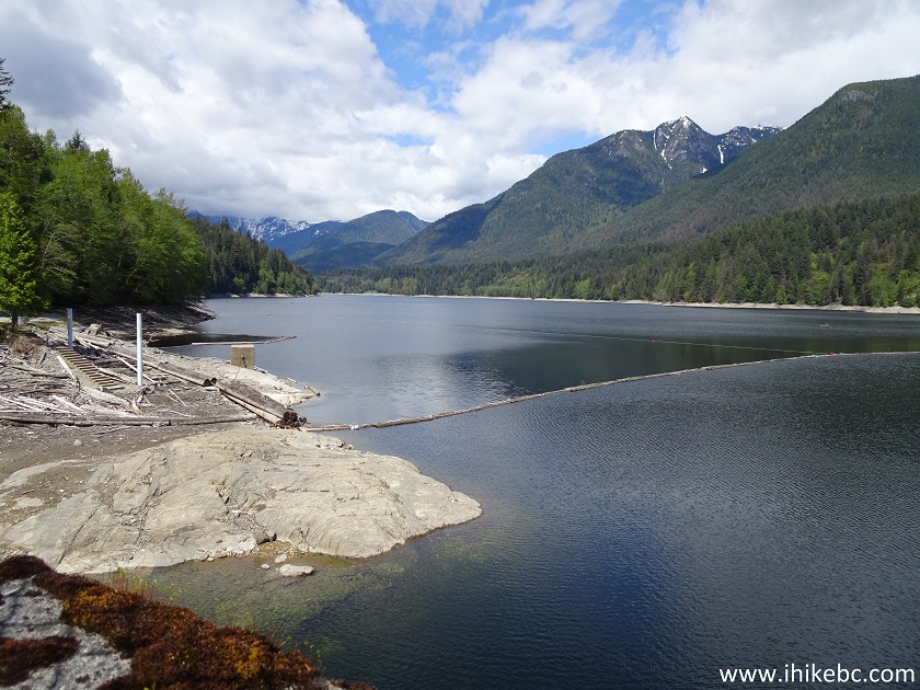
Capilano Lake - Capilano Reservoir - Metro Vancouver Water Supply
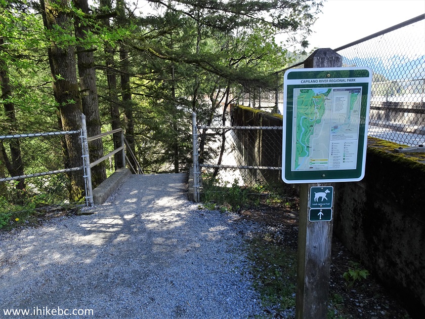
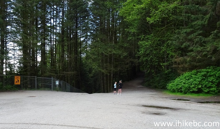
29. Proceed to the end of the causeway, which is a few hundred meters long, and turn left. This is where we started to hike. Even with a map it was often confusing to figure out which trail was where, as they frequently intersect and even run together for a bit. There are two trails starting here, and we need the one on the left, called Giant Fir Trail. To the right is Baden-Powell Trail (cycling commuter route - 15 minutes to Glenmore Drive, as per an attached sign).
Capilano River Regional Park North Vancouver BC Canada
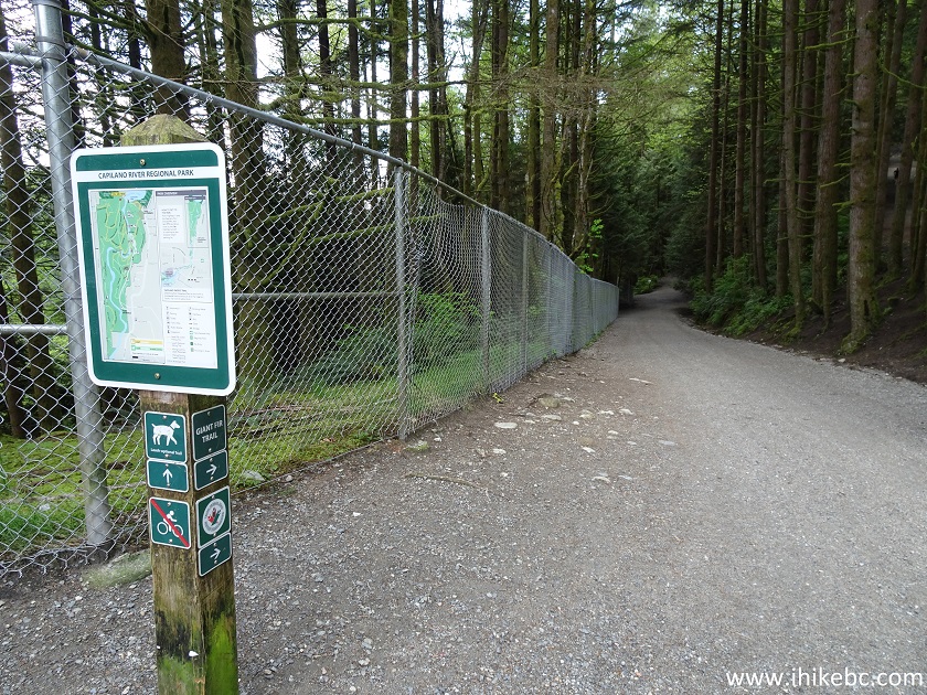
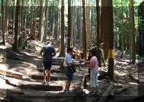
30. The beginning of Giant Fir Trail. According to the map, this is also West Service Road. Biking is not allowed.
Giant Fir Hike Trailhead - Hiking in North Vancouver Area
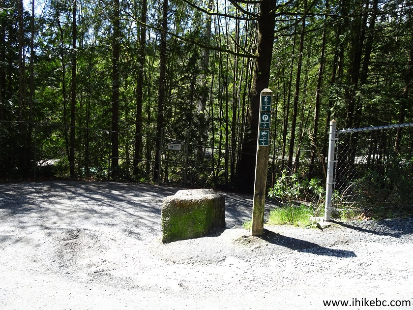
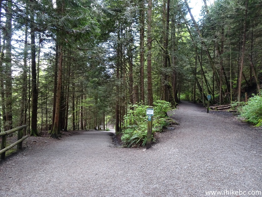
31. Less than a hundred meters later, there is a split. Stay left.
North Vancouver Hiking in Capilano River Regional Park
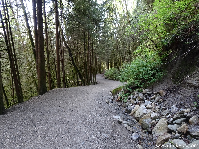
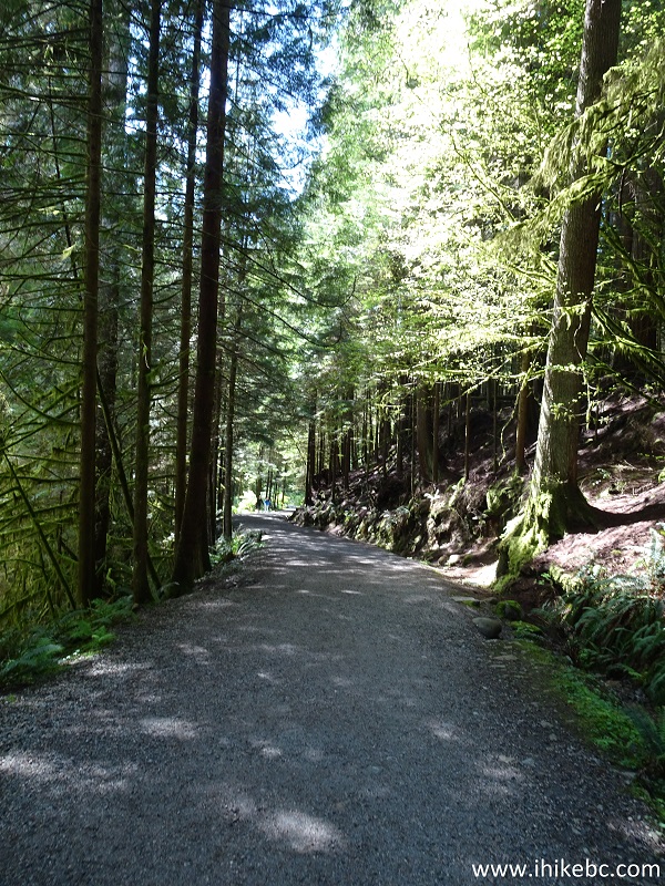
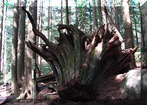
32. Giant Fir Trail in Capilano River Regional Park. The paths in this park that we hiked were very-well maintained and quite easy, with a few hills but nothing too strenuous.
Giant Fir Trail Capilano River Regional Park
33. At about the 430 meter mark, stay left to remain on Giant Fir Trail. To the right is Capilano Pacific Trail (5.5 km) to Ambleside Park.
Giant Fir Trail at Capilano Pacific Trail in Capilano Regional Park
34-35. A hundred meters later, Giant Fir Trail goes left, down the stairs, en route to the Second Canyon Viewpoint.
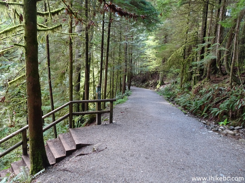
Giant Fir Trail - Hike in North Vancouver Area
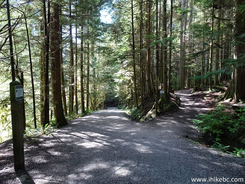
36. However, we went straight at this intersection, and visited Second Canyon Viewpoint later in the hike. This is likely still West Service Road.
West Service Road in Capilano River Regional Park
Our Capilano River Regional Park Visit trip report Continues on Page 2.


|
 |
Other Trips in North Vancouver Area:
|
|
|
|
|
|
|
|
|
|
|
|

Other Trips:


![]()
![]()
![]()
ihikebc.com Trip 204 - Capilano River Regional Park (North Vancouver BC) Page 1 of 2