![]()
![]()
![]()

Trip 202 - April 19, 2021 (Monday)
Belcarra Regional Park Visit
Belcarra British Columbia
Distance from Vancouver (Hastings St at Boundary Road intersection): Approximately 25 km via Hastings Street, Inlet Drive, Barnet Highway, St. John's Street, Ioco Road, First Avenue and Bedwell Bay Road.
Liked: White Pine Beach Access - sandy beach. Picnic Area Access - large grassy picnic area, a small pier, water views, several available trails.
Of Note: The park is very popular, pay parking in effect (no cash accepted - credit card or pay by phone only).
Vancouver, Coast & Mountains Backroad Mapbook (5th edition) Trailhead Coordinates: Page 1 (Vancouver) G1.
Related Website: Belcarra Regional Park (Metro Vancouver Official Site).
Another Trip in Belcarra Area: Burns Point Trail Hike.
Belcarra Regional Park is a very popular Metro Vancouver Park located in the Village of Belcarra next to the town of Port Moody. This park has two main areas with separate entrances - a smaller White Pine Beach, with a neat sandy beach, and Picnic Area, an equally neat large patch of green grass, as well as a pier conducive to fishing and crabbing. The popularity of Belcarra Regional Park has prompted Metro Vancouver to introduce pay parking from April 1st to September 30th, from 10 AM until closing time, and it's not cheap - $2 per hour, with no daily rate available. But, if that means that you would be able to get a parking spot, perhaps it's a reasonable way to handle the crowds. A recent extension of Millennium Skytrain Line allows to arrive to Belcarra Regional Park via public transit, by taking Bus #182 from Moody Centre station. This bus runs once about every 30 minutes. There is also seasonal bus #150 running to the Park.
We liked the sandy beach, although it was very small, and appeared crowded even on an off-season workday. Chances are it's packed during busy season, especially on weekends. The picnic area had substantially more space between groups of people, but it also had a much larger parking lot, so expect packed conditions in the Summer.
Another neat feature of Belcarra Regional Park is the availability of several easy trails, with one of them (around Sasamat Lake) starting off White Pine Beach, while the rest begin by the Picnic Area. We hiked arguably the most view-rich Burns Point Trail (via Admiralty Point Trail), and that hike is covered in our next trip report.
1. Here is the location of Belcarra Regional Park (in red) in Metro Vancouver. This map and the next two photos are from an information board in the park.
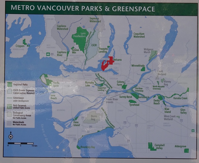
Metro Vancouver Regional Parks Map
2. The map of Belcarra Regional Park.
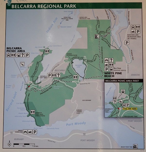
Belcarra Regional Park Map
3. The hikes of Belcarra Regional Park.
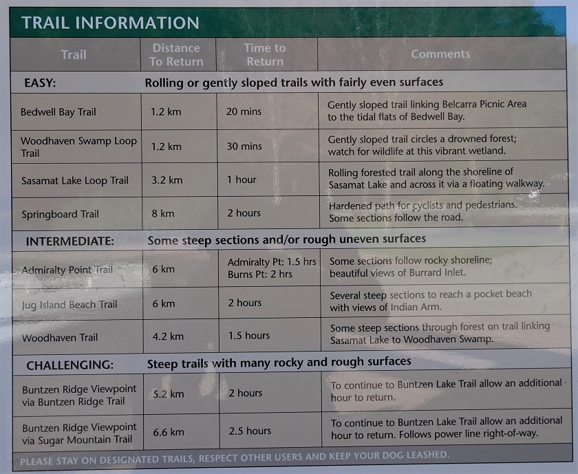
List of Hikes in Belcarra Regional Park
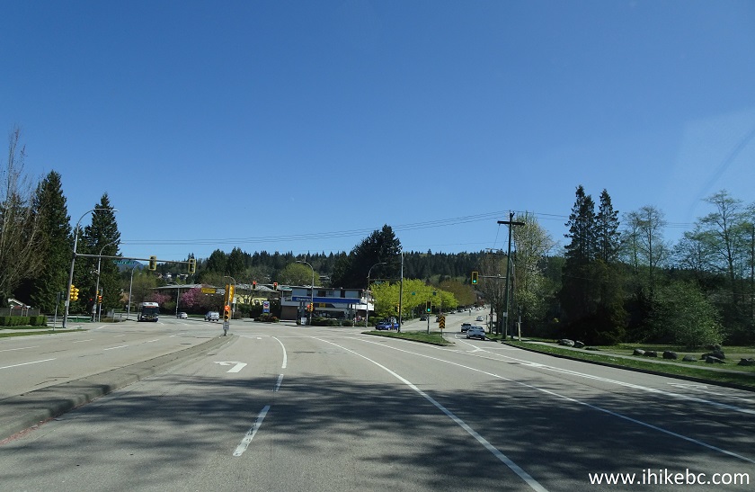
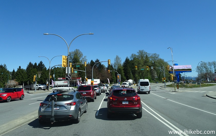
4. There are several ways to get to Belcarra Regional Park. We drove from Vancouver today. We are on Hastings Street in Vancouver, about to cross Boundary Road and enter the city of Burnaby. It's the beginning of Highway 7A as well. The further mileage is from this intersection.
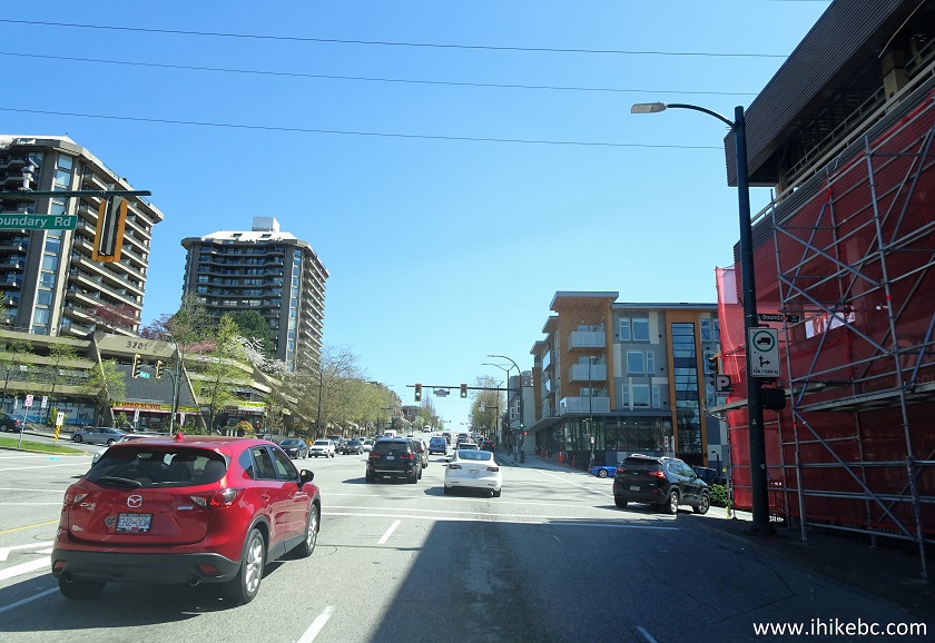
Hastings Street Vancouver and Burnaby BC
5. At 4.8 km, keep left at the split - it's the beginning of Inlet Drive. To the right would be the continuation of Hastings Street en route to Simon Fraser University.
Inlet Drive Burnaby British Columbia
6-7. Inlet Drive soon turns into Barnet Highway. At 13.7 km, make a left turn from Barnet Hwy onto St. John's St (which is also, technically, Highway 7A Barnet Hwy). This is Port Moody now.
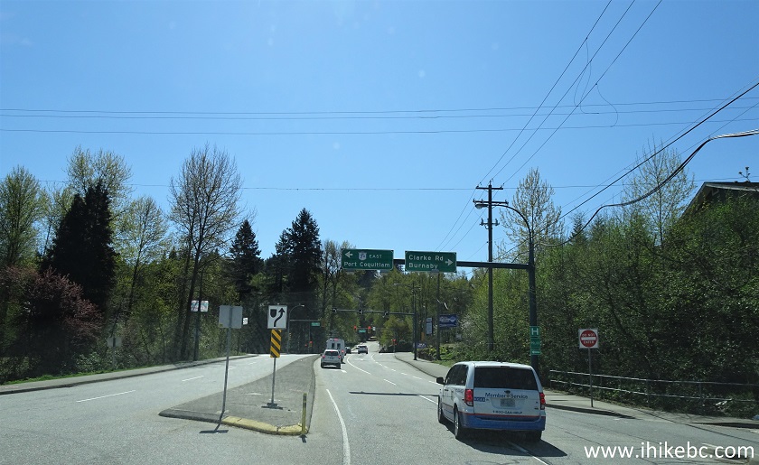
Barnet Hwy at St. John's Street Port Moody BC
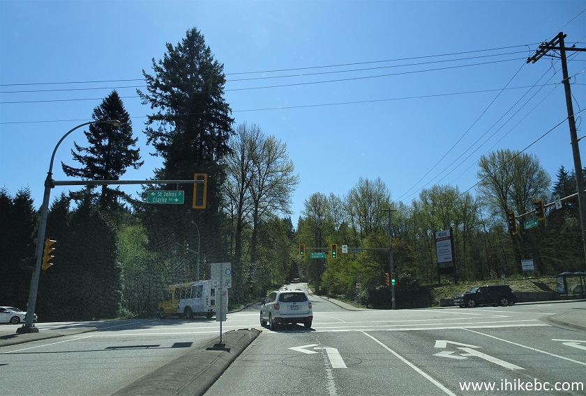
8. St. John's Street in Port Moody.
St. John's Street Port Moody British Columbia Canada
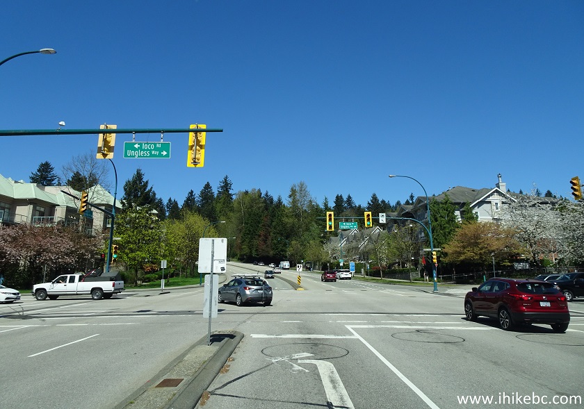
9. At 16.6 km, turn left onto Ioco Road.
Barnet Highway at Ioco Road Port Moody BC
10-11. At 17.4 km, turn left to stay on Ioco Rd. The sign would show that Belcarra White Pine Beach is in that direction.
Ioco Road Port Moody
Ioco Road
12. At 21.5 km, turn right from Ioco Road onto First Avenue.
Ioco Road at First Avenue Port Moody BC Canada
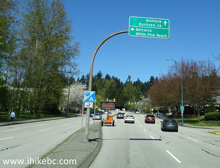
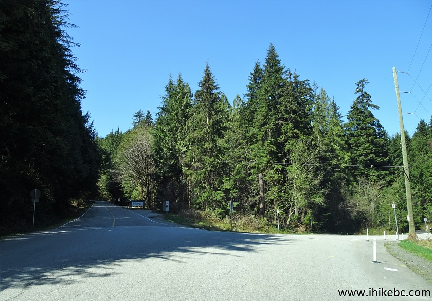
13-14. At 22.3 km, there is a split. Take a road on the left - Bedwell Bay Road. Taking a road on the right would lead to Anmore and Buntzen Lake.
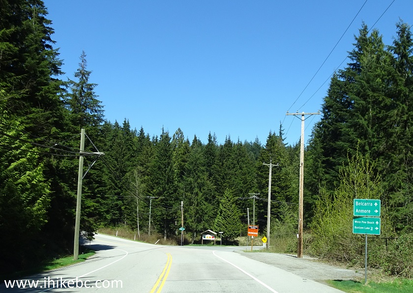
First Avenue at Bedwell Bay Road
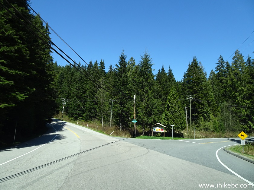
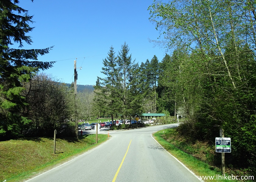
15. At 23.5 km, Belcarra Regional Park White Pine Beach access road turnoff is on the right side.
Bedwell Bay Road at Belcarra Regional Park White Pine Beach Access Road
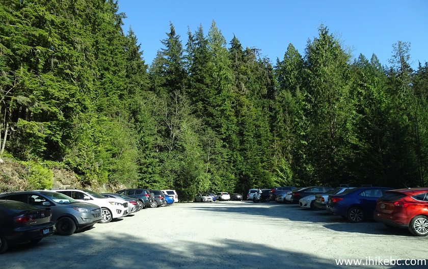
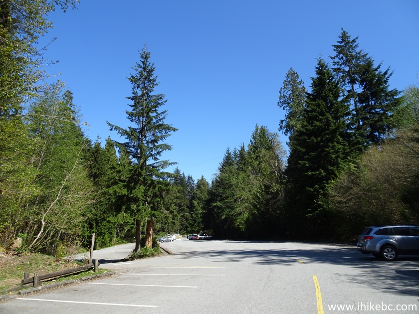
16. After a short drive, arrive at White Pine Beach parking lot. It's rather small, good for about 60-70 vehicles.
Belcarra Regional park White Pine Beach Parking Lot
17. Pay for parking (if in effect) at the top of a road to the beach, seen at the bottom. No cash is accepted - credit card or pay by phone only.
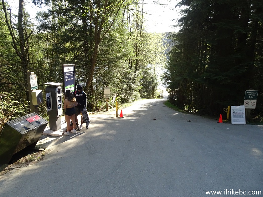
Belcarra Regional Park - Parking Pay Area for White Pine Beach
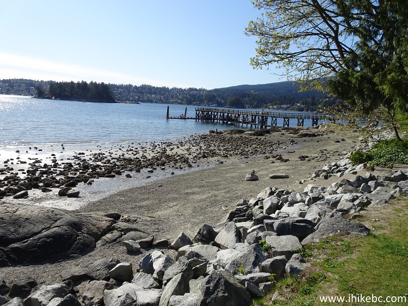
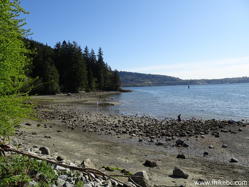
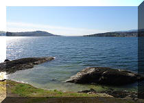
18. Here is the beach. Small, but sandy. There is a bit more space to the right of the photo below.
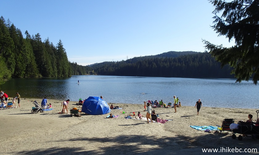
White Pine Beach - Belcarra Regional Park
19. On the left side is a trailhead for a hike around Sasamat Lake. It's a 3.2 km loop.
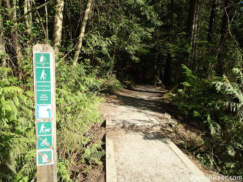
Sasamat Lake Hike Trailhead - Belcarra Regional Park
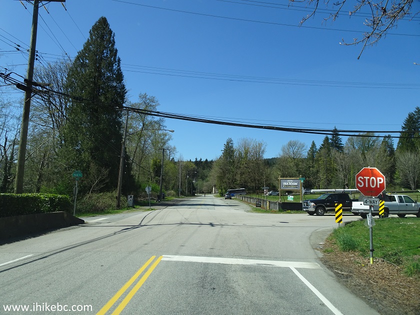
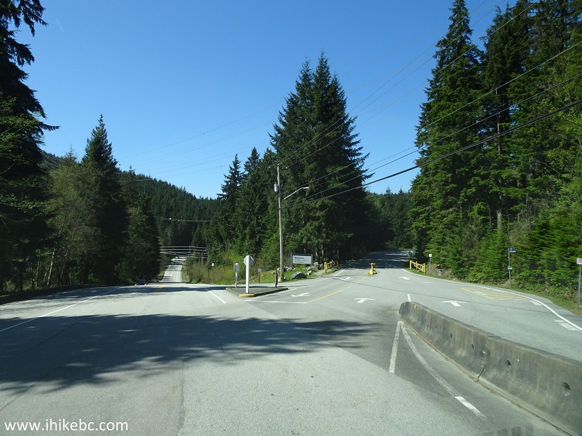
20. After White Pine Beach, we went to Belcarra Picnic Area. Just 300 m further from WPB access road turnoff (and 23.8 km from Vancouver/Burnaby border on Hastings Street) take a left turn to Belcarra Picnic Area access road. To the right is the continuation of Bedwell Bay Road, which shortly leads to the Village of Belcarra. Non-resident parking is not allowed along Bedwell Bay Road. So, if Belcarra Regional Park lots are full, you would have to drive back.
Bedwell Bay Road at Belcarra Regional Park Picnic Area Access Road
21. It's 4 kilometers from the point seen in the photo above to Belcarra Picnic Area parking lot.
Belcarra Regional Park
22. The parking lot here is quite large, good for over 100 vehicles, but it's likely going to be full in the busy season, pay parking or not.
Belcarra Regional Park Picnic Area Parking Lot
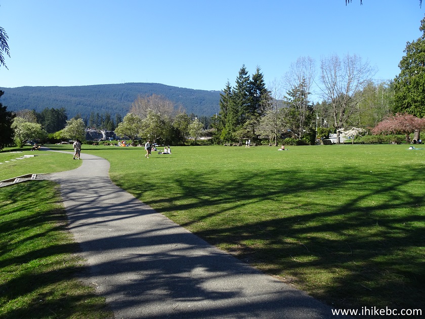
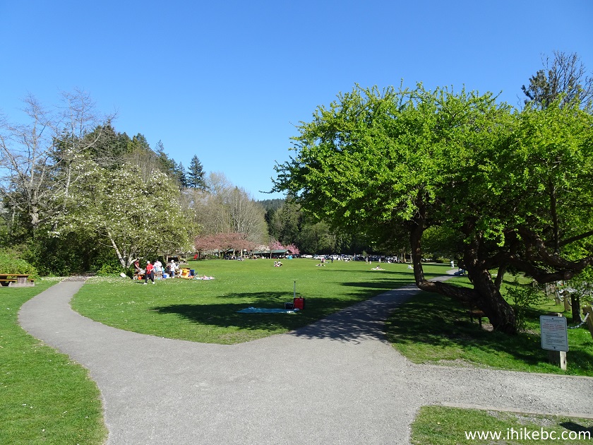
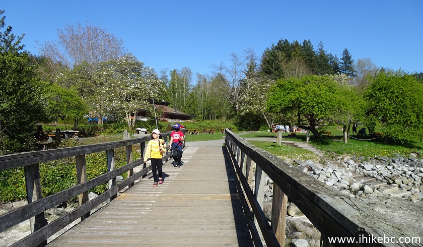
23. It sure is nice to have a picnic on such a large patch of lush green grass.
Belcarra Regional Park Picnic Area
24. There was a lot of space on this off-season weekday.
Picnic Area Belcarra Regional Park
25. Children enjoyed running around the park.
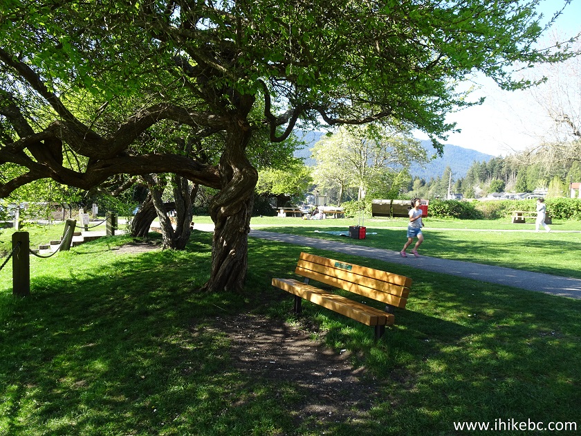
Belcarra Regional Park near Port Moody BC Canada
26. Adults enjoyed painting.
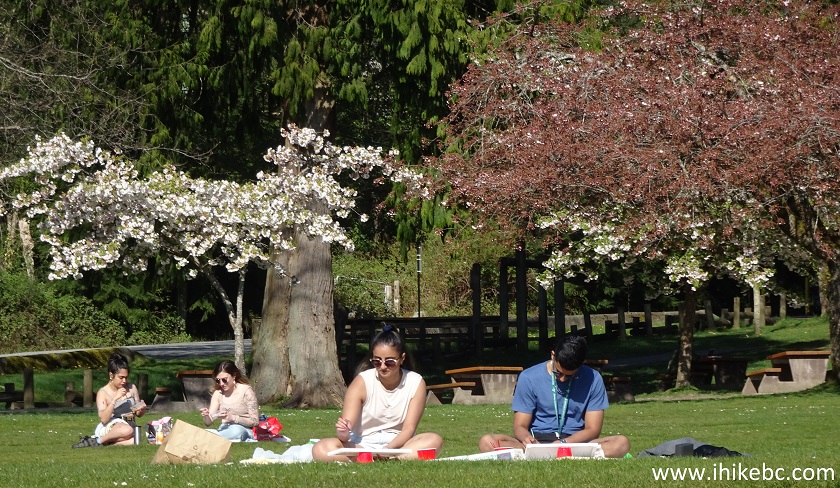
Painting in Belcarra Regional Park
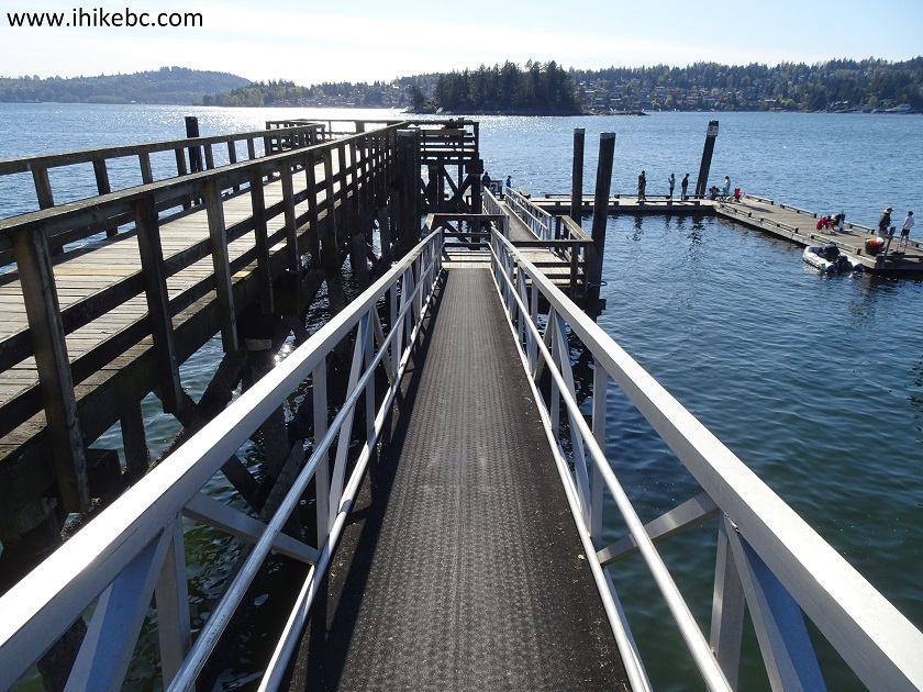
27. Both adults and children enjoyed hanging out at the pier.
Belcarra Regional Park Picnic Area Pier
28. It's a small pier, but a neat one.
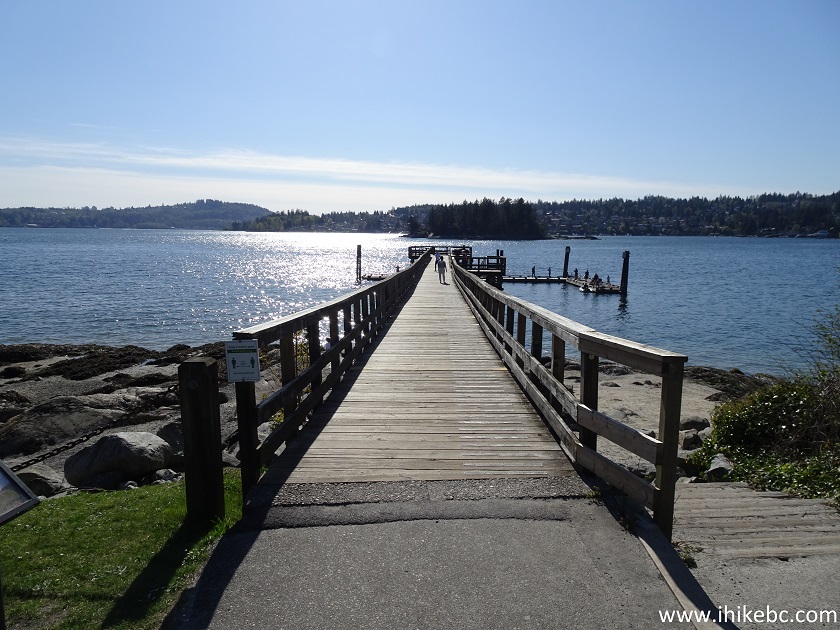
Belcarra Regional Park Pier
29. The top is for sightseeing, and the bottom is for fishing and crabbing.
Pier at Belcarra Regional Park Picnic Area
30. The crabbing part.

Crabbing at Belcarra Regional Park
31. The (soon to be) fishing part.
Children Going Fishing at Belcarra Regional Park
32. How about some beachcombing.
Beachcombing at Belcarra Regional Park
33. Fun for everyone.
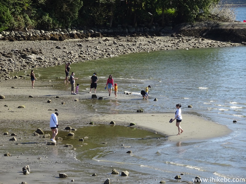
Belcarra Regional Park Beachcombing
34. There are also several trails which start near Belcarra Picnic Area. One of them is Burns Point Trail (via Admiralty Trail), which we cover in the next trip report.
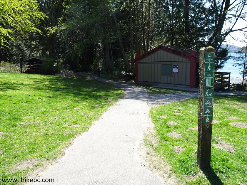
Belcarra Regional Park Admiralty Loop Hike Trailhead
Whether it's having a picnic, enjoying a sandy beach, crabbing, fishing, hiking, or beachcombing, Belcarra Regional Park has many available activities in a picturesque setting. Recommended.


|
 |
Other Trips:


![]()
![]()
![]()
ihikebc.com Trip 202 - Belcarra Regional Park Visit (Belcarra BC)