Trip 325 - September 20, 2024 (Friday)
Seed Peak Trail Hike
Near Squamish BC
Page 1 of 3
Liked: Fine mountain and valley views, a neat tarn in the Seed Peak bowl, November Lake, no bugs.
Vancouver, Coast & Mountains Backroad Mapbook (2019 edition) Coordinates for Seton Portage:
Page 12 (Pinecone Burke Provincial Park) A1. Follow @ihikebc TweetSee Peak Trail starts off the 33.1 km mark of Mamquam River FSR near Squamish BC. It shares the trailhead with Mount Gillespie Trail, and the two trails go their separate ways 2.5 km later. Seed Peak Trail then continues for 250 meters to the alpine, where another kilometer or so gets you to the peak, or there in an option to descent into a small bowl, which is what we did without climbing to the peak.
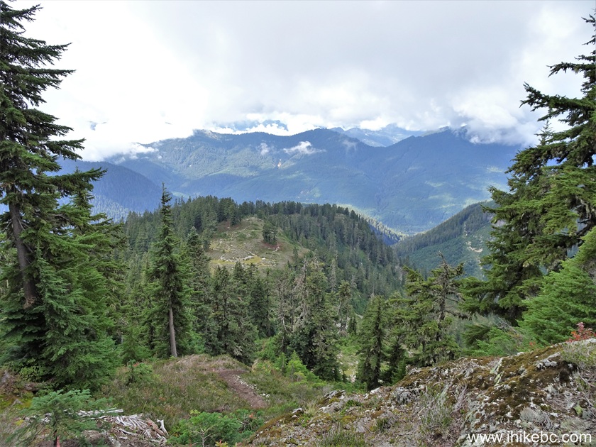
Throughout the trail, there are very fine mountain and valley views. A small November Lake to the right of the trail looks quite good too. Apparently, Pinecone Lake can be observed from the top of Seed Peak. While we saw no bugs during this late September hike, several reviewers on another site mentioned hordes of those, albeit not of a biting variety, so take care.
As far as getting to the trailhead, Mamquam FSR is in decent shape as of the time of writing, and a medium clearance 4x2 should have no trouble getting within 800 meters of the trail, where a steep loose hill would stop all non 4x4 vehicles. There is a good parking spot in that area, and a hike to the trailhead is a rather scenic one too.
Check out our Mamquam River Forest Service Road Trip Report for details on getting to the 31.8km mark of the FSR where we begin our coverage in this trip report.
*All trail distances are based on a GPS odometer and are approximate.
1. Here is a Google Maps location of Seed Peak near Squamish, BC.
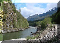
2. We are at the 31.8 km mark of Mamquam River Forest Service Road. This is the same spot as in photo #57 of our Mamquam River FSR Trip Report - check out that trip report for directions on getting up to this point from BC Highway 99 near Squamish.

Mamquam River Forest Service Road near Squamish British Columbia Canada
3. At 32.3 km of Mamquam River FSR, our 4x2 vehicle could go no longer due to a steep loose hill.

Mamquam River FSR near Seed Peak Trailhead and Mount Gillespie Trailhead
4. There is a good parking spot to the right side.

5. We then started to hike for 780 meters to the Seed Peak trailhead.

Mamquam River FSR
6. At 400 meters of the hike to Seed Peak trailhead.
Mamquam River FSR near Squamish BC
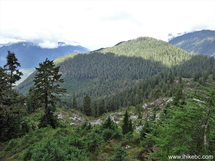
7. It is a fairly picturesque hike. Looking back at 400 meters.
Mamquam River Forest Service Road
8. Now at the 560 meter mark.

Mamquam River Forest Service Road near Mount Gillespie Trailhead
9. Looking back from this location.

Mamquam River FSR near Squamish BC Canada
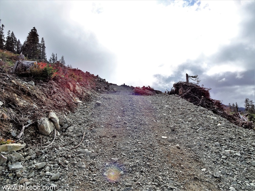
10. At 640 meters.

Mamquam River FSR near Squamish BC Canada
11. Looking back.

Mamquam River Forest Service Road
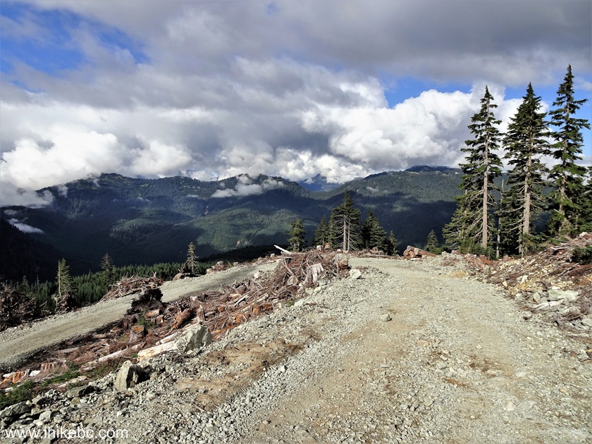
12. At 710 meters from where we parked, we are getting close to the Seed Peak (and Mount Gillespie) trailhead.
Mamquam River FSR near Squamish, BC, Canada
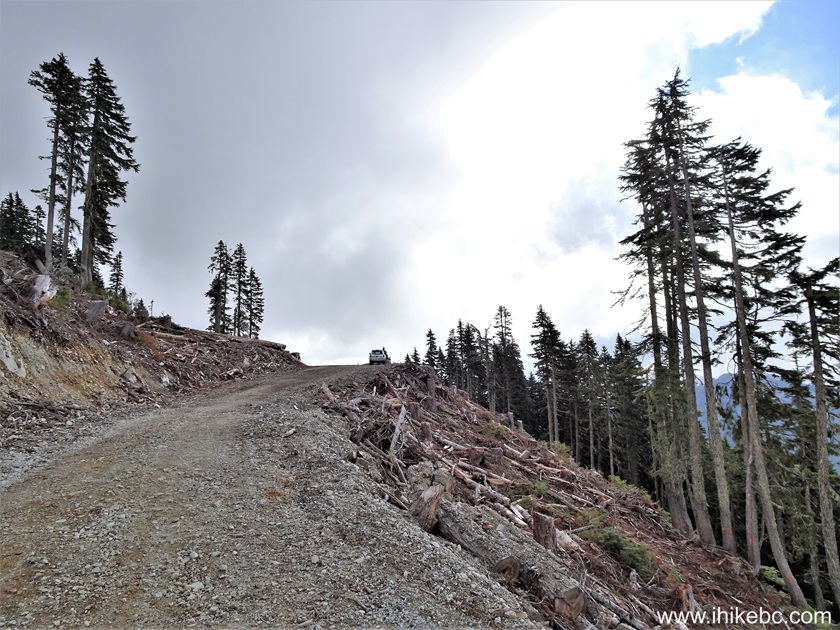
13. An SUV made it up to this point, 780 meters from where we parked, and this is where the Seed Peak trailhead is, on the left side. This area may look much different when you visit, if more logging would be done here. Mamquam River FSR ends ahead in a few hundred meters.

14. Looking left at the trailhead. Coordinates: N 49⁰38.513' W 122⁰52.188'. Elevation: 1,440 meters. We took this photo at the end of the hike, so the lighting looks different.

Seed Peak Trailhead / Mount Gillespie Trailhead off Mamquam River FSR
15. Back to the start of the hike in the morning. The stand of three trees is a good marker point, but these trees may be cut down at some point, so a GPS would be helpful. In any case, head in the 10:30 o'clock direction from the road from about this point, and you would encounter the trail in under 500 meters.

Logged Seed Peak Trailhead near Squamish BC
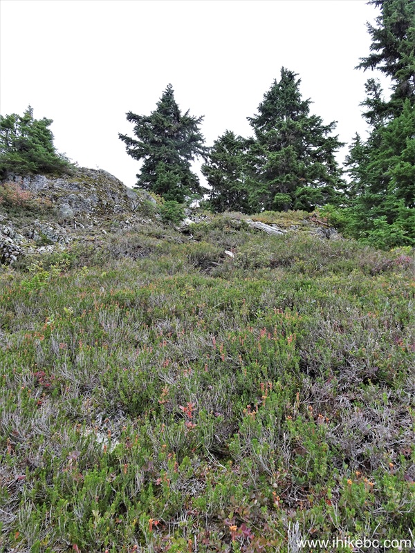
16. There is a very faint trail even through the logged area, but it could quickly disappear after a heavy rain or during a spring run-off.

17. 430 meters from Mamquam River FSR, we ran into Seed Peak trail after wandering through a forest. Coordinates: N 49⁰38.603' W 122⁰51.941'. Elevation: 1,500 meters. The trail is at the bottom right. Make a right turn.
Hiking in Squamish BC area - Seed Peak Trail
18. At 610 meters from Mamquam River Forest Service Road, Seed Peak (and Mount Gillespie) Trail is very prominent.

Seed Peak / Mount Gillespie Trail
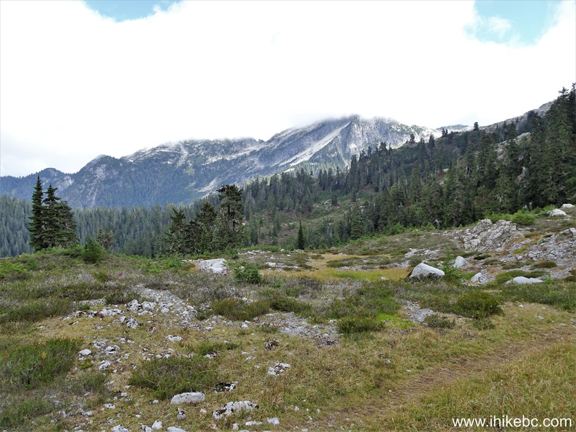
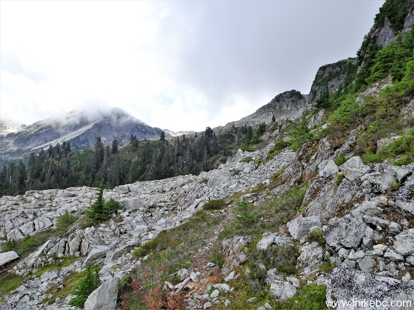
19. At 710 meters, we are hiking through a boulder field. Coordinates: N 49⁰38.640' W 122⁰51.721'. Elevation: 1,545 meters.

Seed Peak Hike in British Columbia Canada
20. The trail suddenly disappears twenty meters later. Make a sharp right turn where the arrow is pointing.
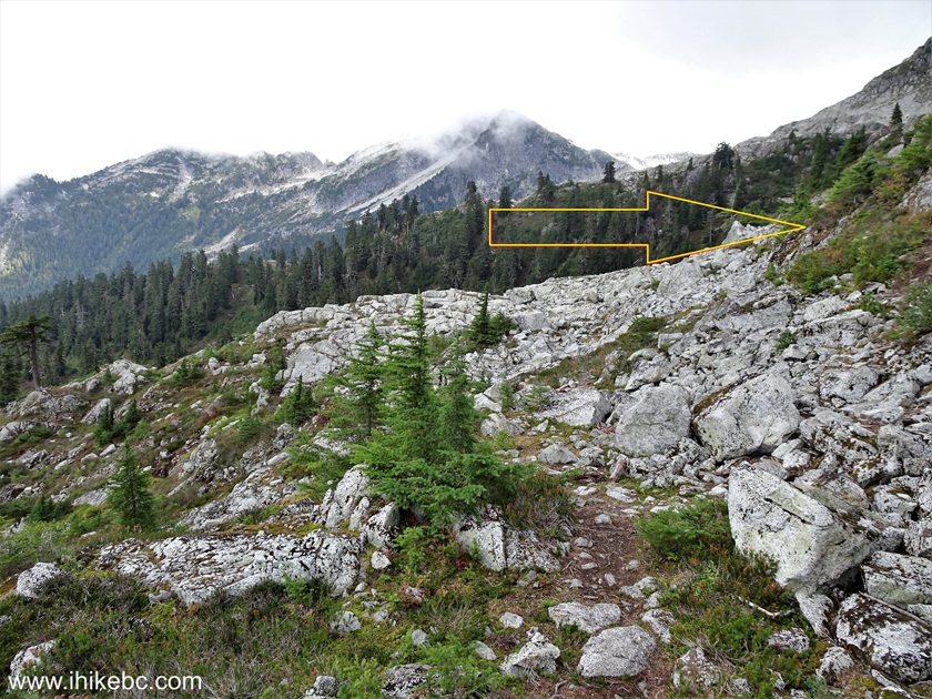
British Columbia Hiking
21. The way to go after the sharp right turn.
Hike in Squamish BC Area - Seed Peak Trail
22. The trail just as suddenly reappears at the 760 meter mark.
Seed Peak Hiking in British Columbia Canada
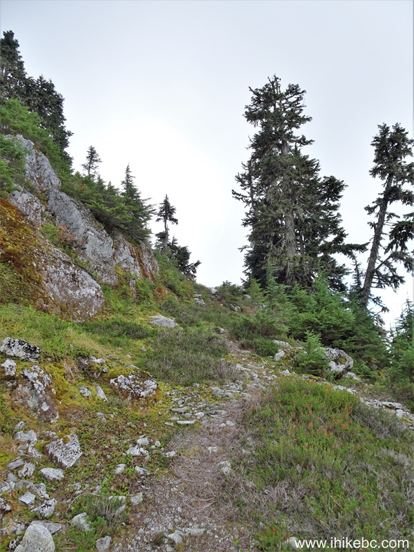
23. A bit steep at 810 meters of Seed Peak Trail.
Mount Gillespie / Seed Peak Trail
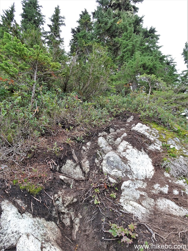
24. Looking left from the same spot.
View from Seed Peak Trail near Squamish, British Columbia, Canada
25. Still heading up 40 meters later.
Hiking in Squamish area - Seed Peak Trail
26. 20 meters later.

Seed Peak Trail
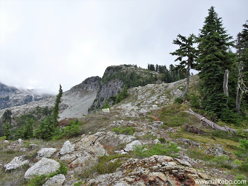
27-28. At 880 meters of Seed Peak Trail, we are on top of this hill. Coordinates: N 49⁰38.633' W 122⁰51.645'. Elevation: 1,605 meters. Looking forward and back.

View from Seed Peak Hike near Squamish BC
29. At 910 meters of Seed Peak Trail (and Mount Gillespie Trail).
Mount Gillespie / Seed Peak Trail
Our Seed Peak Trail Hike Continues on Page 2.


|
 |
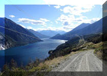
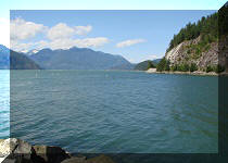
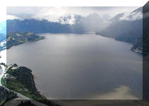
Other Trips in Squamish Area:
|
|
|
|
|
|
|
|
|
|
|
|
|
|
|
|
|
|
|
|
|
|
Mamquam River FSR
|
|
|
Panorama Ridge Trail
|


Other Trips:


![]()


![]()
![]()
![]()
ihikebc.com Trip 325 - Seed Peak Trail Hike (near Squamish, BC) -
Page 1 of 3