![]()
![]()
![]()

Trip 054 - August 4 & 9, 2011 (Thursday & Tuesday)
Crooked Falls / Sigurd Creek Trail Hike
To Crooked Falls (Thursday) and Sigurd Peak (Tuesday)
Distance From Vancouver:
About 102 km - 65 km via Highway 99 (Sea-to-Sky) North to
Squamish Adventure Centre, then keep driving straight on Highway 99 and
turn left onto Squamish Valley Road 9.6 km later, then drive for 23 km
to Squamish River FSR, and turn left onto
Ashlu Main 1.2 km after that.
Sigurd Creek Trailhead is on the left side of the road 2.4 km after
turning onto Ashlu Main.
Liked: Crooked Falls, several forest scenes, view from the top of Sigurd Peak (albeit it was very foggy).
Of note: Remote wilderness area. Tough trail (to Crooked Falls), becomes very tough en route to Sigurd Peak. There are several very steep and slippery sections. Not falling down, especially on the way back, would be hard. Hiking boots and poles are highly recommended (to Crooked Falls) and are essential (to Sigurd Peak). Numerous aggressive mosquitoes in the second half of Sigurd Peak Trail.
Vancouver, Coast & Mountains Backroad Mapbook (2010 edition) Coordinates: Page 21 (Phantom Lake) G2-F3.
103 Hikes in Southwestern British Columbia (2008 edition): hike #24 (Sigurd Creek).
Subsequent Trip: Second Trip to Crooked Falls.
Related Website: Squamish District FSR Conditions.
>>> British Columbia Waterfalls Visits.
Sigurd Creek Trail starts off Ashlu Main Forest Service Road. Check out Ashlu Main trip report for details on how to get to the trailhead. After about an hour into the hike, there is a split. To the left is the trail to Crooked Falls, which we visited on August 4th. To the right is the trail to Sigurd Peak, which we hiked on August 9th. This trip report combines both of these hikes.
1. Here we are on Ashlu Main FSR, and Sigurd Creek Trailhead is seen on the left side.
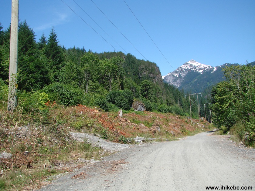
Ashlu Main Forest Service Road British Columbia Canada
2. The beginning of the trail. A small yellow sign tells you what it is.
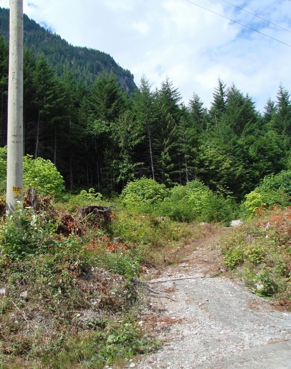
Sigurd Creek Trailhead near Squamish BC Canada
3. At first, the trail goes up an old logging road.
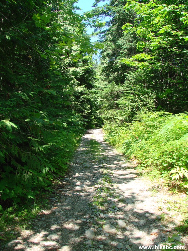
Sigurd Creek Trail -Squamish BC hiking
4. But, soon, you enter into the forest and stay there.
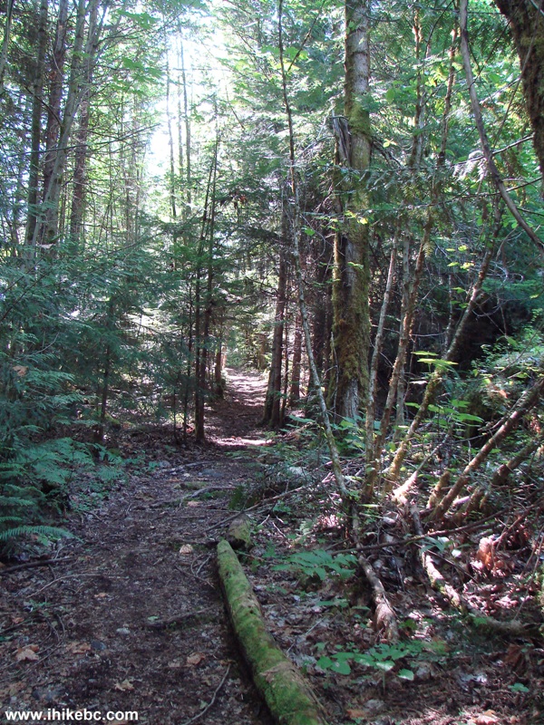
Sigurd Creek Trail - Hiking in Squamish BC area
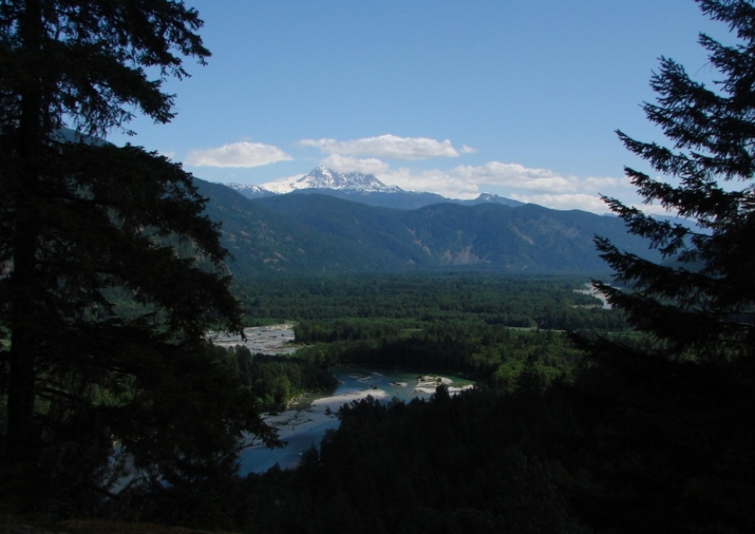
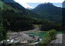
5. Twenty minutes into the hike, there is a decent view.
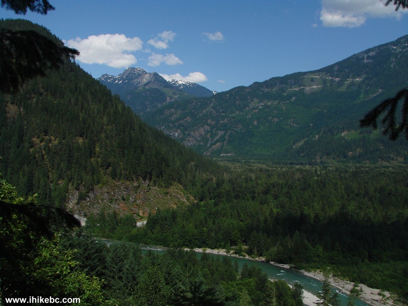
Photo of a View from Sigurd Creek Trail near Squamish British Columbia
Canada
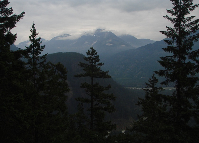
6. A few minutes after that, another good view may even include Mount Garibaldi, if it is not covered in clouds.
Mount Garibaldi View From Sigurd Creek Trail Province of BC Canada
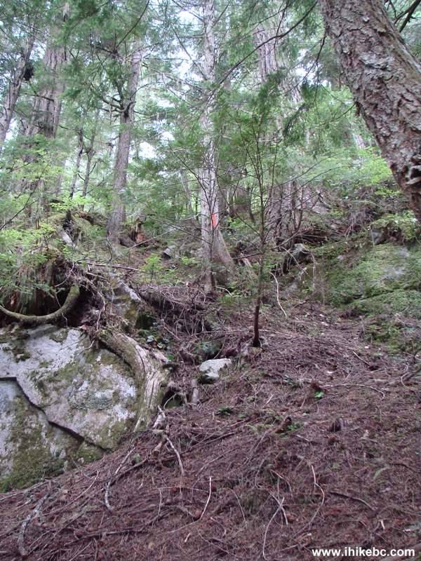
7. This very large stone is a featured attraction in a fairly interesting forest.
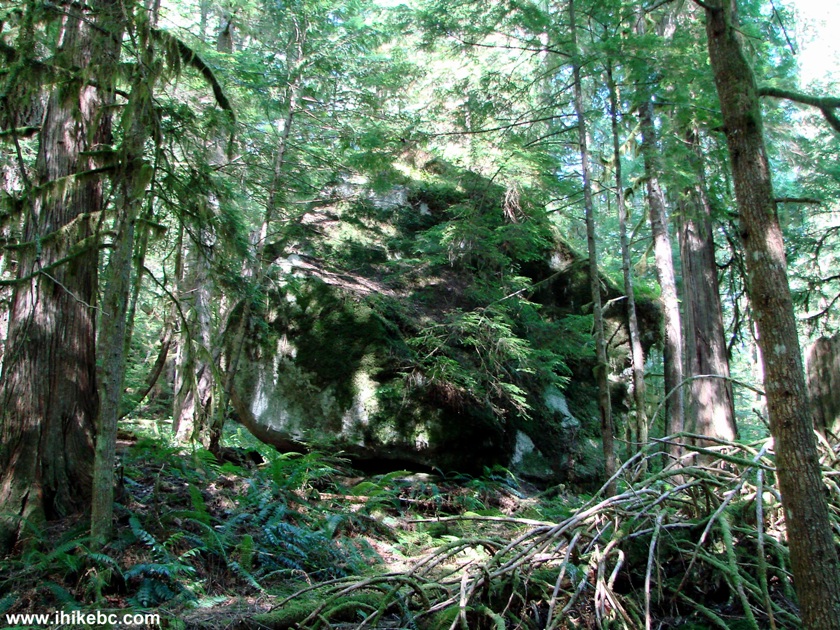
Hiking in Squamish British Columbia Area - view from Sigurd Creek Trail
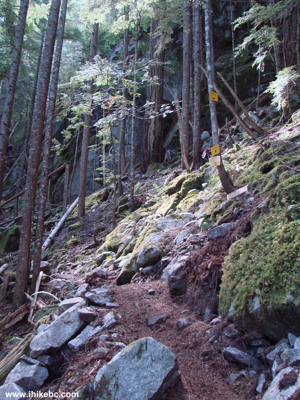
8. Even before the main split, some parts of the Sigurd Creek Trail are very steep.
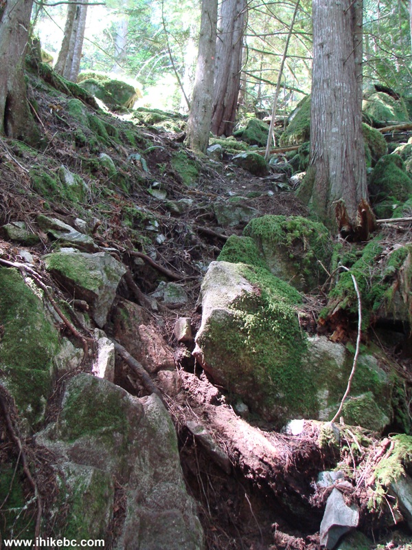
Sigurd Creek Trail - Hike in Squamish BC area
9. It takes about an hour to reach the main split. To the left is a 15 minute path to Crooked Falls. To the right is an extra 2+ hour very strenuous hike to Sigurd Peak.
Sigurd Creek Trail and Sigurd Peak Trail Split - hiking near Squamish BC Canada
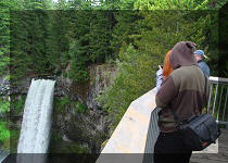
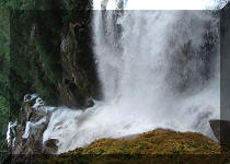
10. Crooked Falls impressed by the sheer water volume, and by being right in your face. The observation area is very close to the waterfall.
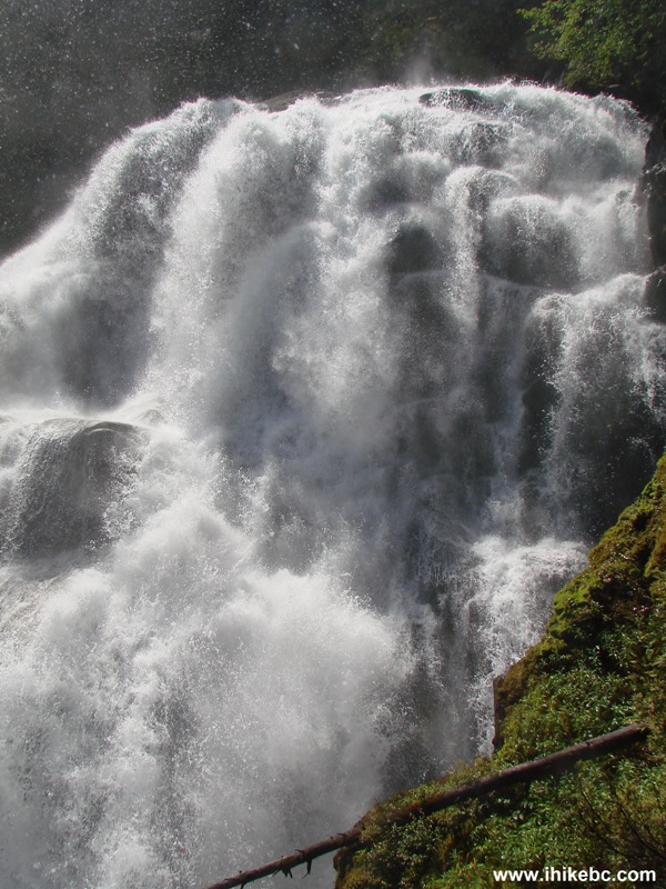
Crooked Falls near Squamish British Columbia
Here is our video of Crooked Falls:
More ihikebc videos are on our YouTube Channel.
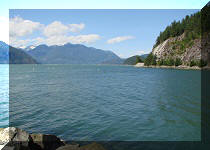
11. After checking out the Falls, we went back and finished the hike. In five days, we returned, reached the main split seen in photo #9, and turned right. The weather, alas, was much cloudier, and that affected the views from the top of Sigurd Peak. There are a few more splits after the first main one, but the signs to Sigurd Peak will guide you. Several minutes after the main split, there is another viewpoint, though it is starting to become overgrown, and would likely be completely blocked by the trees in a few years.
Squamish Hiking - View from Sigurd Peak Trail British Columbia Canada
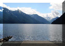
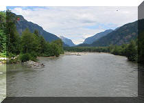
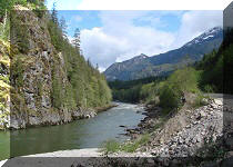
12. Good river view from this viewpoint too.
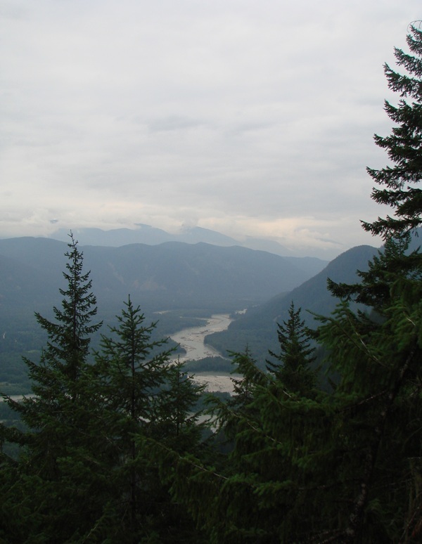
Hiking in British Columbia - view from Sigurd Peak Trail near Squamish
13. Sigurd Peak Trail after the first main split is one of the hardest and most dangerous we have hiked. We would not recommend hiking Sigurd Peak without very good hiking shoes and poles, and the ability to fall down safely. There are numerous very steep and long stretches, where the path is covered with wet dirt, which easily gives way and makes you fall down, especially on your way back.
Sigurd Peak Trail - Squamish hiking
14. An interesting forest scene along the way.
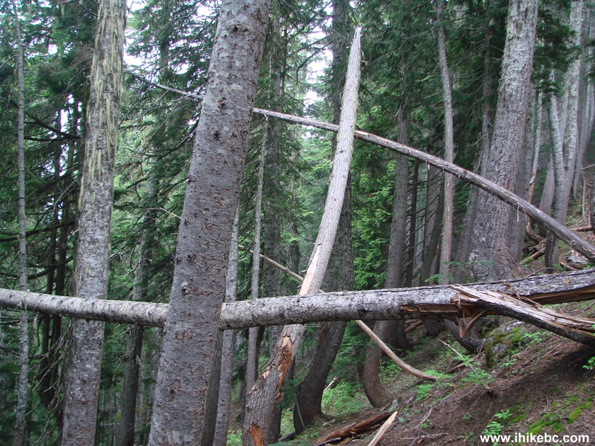
Sigurd Peak Trail British Columbia Canada
15. It takes about 3.5 hours to get to Sigurd Peak from the beginning of the trail. The peak was completely snow-covered during our visit. The views were mostly hidden by the fog, but what we could see promised something very impressive to be discovered on a sunny day.
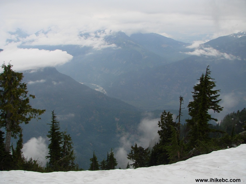
View from Sigurd Peak Province of BC Canada
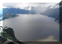
16. A fine mountain view appeared soon after we started descending.
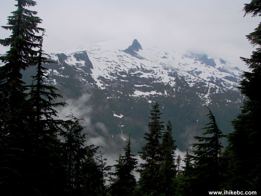
Sigurd Peak Trail View
Sigurd Creek Trail to Crooked Falls is a moderately challenging hike, which is recommended for the good viewpoint views and the Falls. Sigurd Peak Trail is only for experienced, well-equipped hikers, who do not mind falling down and getting bruised on the trail.


|
 |
Other Trips in Squamish Area:
|
|
|
|
|
|
|
|
|
|
|
|
|
|
|
|
|
|
|
|
|
|
Mamquam River FSR
|
|
|
Seed Peak Trail
|


Other Trips:


![]()
![]()
![]()
Follow @ihikebc Tweet
ihikebc.com Trip 054 - Sigurd Creek Trail Hike (near Squamish BC)