![]()
![]()
![]()

Trip 096 - September 25, 2015 (Friday)
Parsnip West Forest Service Road Trip
Near Mackenzie BC
Page 1 of 2
Location: Northeastern British Columbia, West of the town of
Mackenzie.
Liked: Many campgrounds along the road, with decent views. Access to several trails.
Of note: The road itself is unremarkable. Numerous potholes make the 80 km/h speed limit unrealistic until the latter part of the road. Signs of frequent logging activity along the road.
Northern BC Backroad Mapbook (3rd edition) Coordinates for the Beginning of the FSR: Page 55 (Mackenzie) D6.
Other Forest Service Roads Trips: Chehalis (by Harrison Mills), Chilliwack Bench, Chilliwack Foley, Chilliwack Lake, Chuchinka-Colbourne (North of Prince George), Clear Creek (off Harrison East), Florence Lake (access to Stave Lake by Mission), Harrison East, Harrison East Second Trip, Harrison West, Jones Lake (near Hope), Lost Creek (by Mission), Mamquam River (by Squamish), Nahatlatch (near Boston Bar), Scuzzy (by Boston Bar), Shovel Creek (off Harrison East), Sowaqua Creek (by Hope), Squamish River Main, Squamish River Ashlu, Squamish River E-Main, Squamish River FSR Washout, Windfall Creek (by Tumbler Ridge).
Related Website: Heather-Dina Lakes Provincial Park - BC Parks Official Website.
Parsnip West Forest Service Road starts near the town of Mackenzie, BC and goes into the wilderness along Williston Lake, which was formed when W.A.C. Bennett Dam was created. The road itself is rather boring, but it leads to many neat campgrounds (all free of charge), and several trails. It is possible to launch a boat from at least one of the campgrounds.
Please, note, that we drove along this Parsnip West FSR starting from about the 12th kilometer, from a point where Highway 39 ends at Parsnip West. The first 12 kilometers are not shown in this trip report.
Here is a table of interesting things along Parsnip West FSR. Mileage shown from about the 12th kilometer, where Highway 39 ends at Parsnip West.
RS =Recreation Site
|
KM |
Feature |
Side |
| 0.8 | Chico Camp Road | L |
| 6.9 | Tony Point FSR | L |
| 10.7 | Heather - Dina Lakes Provincial Park Entrance | Straight |
| 12.1 | Heather Lake Turnoff | L |
| 18.6 | Dina Lake Turnoff | L |
| 20.7 | Cut Thumb Bay RS turnoff | L |
| 24.4 | South Lamonti FSR | R |
| 28.7 | Six Mile Bay RS turnoff | L |
| 29.5 | Lamonti Creek FSR | R |
| 33.9 | PARW 7000 FSR | L |
| 38.3 |
Kimta Creek RS (Kimta Creek Trailhead) |
R |
| 41.1 | Unknown FSR | L |
| 50.0 | Unknown FSR | L |
| 53.3 | Weston Creek RS turnoff | L |
| 66.1 | Unknown FSR | R |
| 78.0 |
Canty Lake RS turnoff (to Canty Lake Trailhead) |
R |
| 79.9 | Finlay Bay FSR | R |
| 82.5 | Parsnip West FSR turns right | R |
| 83.6 | Finlay Bay RS - end of Parsnip West FSR | S |
1. We are on Highway 97 North, with Highway 39 turnoff seen on the the left side. From this junction, Prince George is 170 km South, and Chetwynd is 160 km North on Highway 97. Mackenzie is 29 kilometers West on Highway 39. Petro Canada at this intersection usually has very good prices on gas, in case you are in need of fuel. There is also a gas station in Mackenzie.
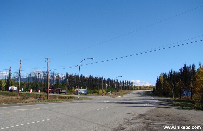
Highway 97 at Highway 39 British Columbia Canada
2. A train car in the photo above is actually a tourist information centre. It's open seasonally, but the washrooms outside appear to stay open longer than that.
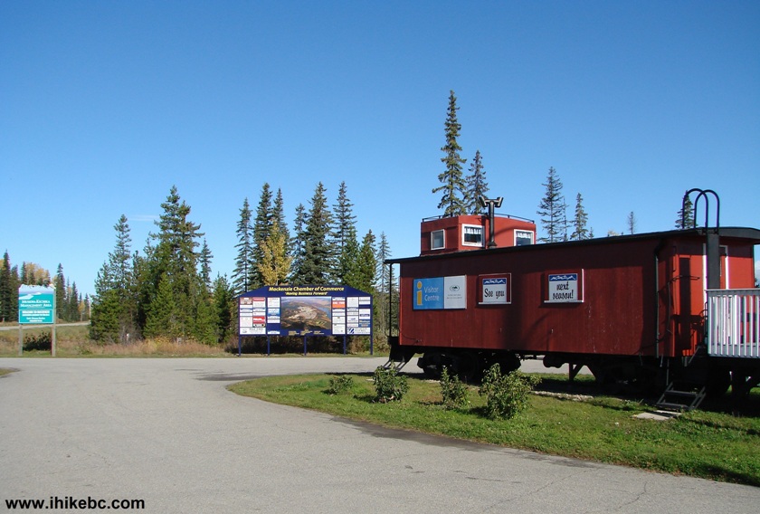
British Columbia Visitor Centre Highway 97 at Highway 39
3. This is a close-up of an advertisement board seen in the photo above. It also shows the town of Mackenzie from the air.
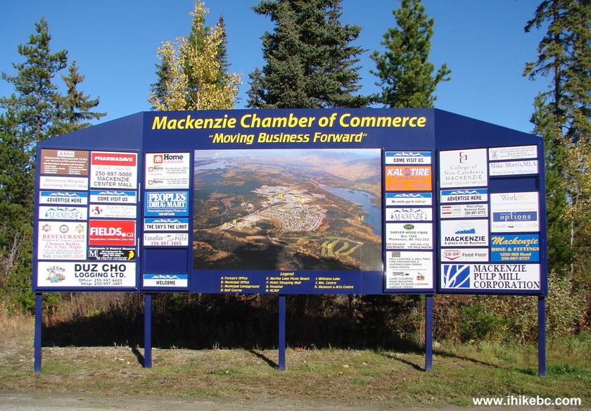
Mackenzie Chamber of Commerce Advertisement Board
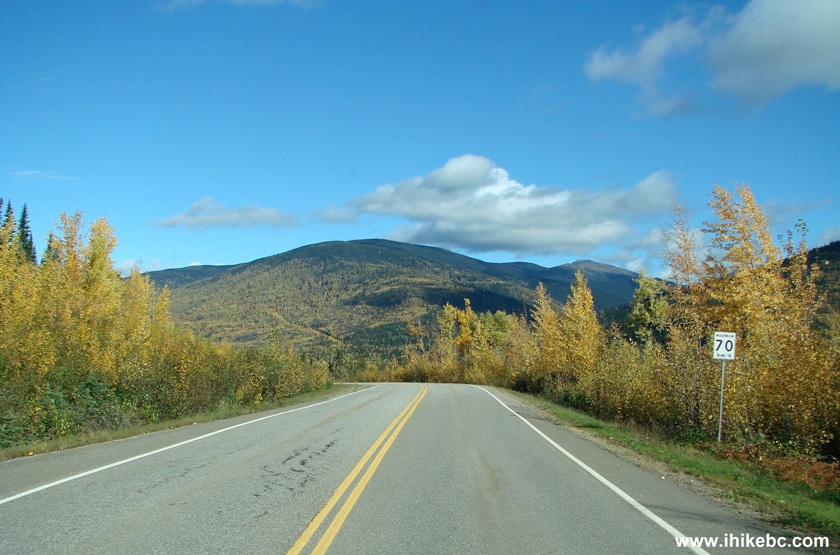
4. Having turned onto Highway 39, we are 29 kilometers away from Mackenzie.
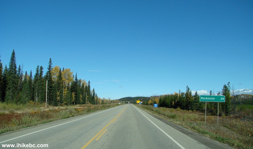
BC Highway 39 Towards Mackenzie
5. The town of Mackenzie has a pleasant feel of a small town, and features this enormous tree crusher along Highway 39.
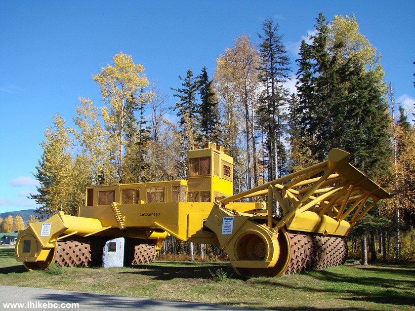
Tree Crusher Display Mackenzie BC Canada
6. The map of Mackenzie and the surrounding area is located by the tree crusher. We have marked the photo of the map as follows: 1 - Highway 39 South (the way to Highway 97 and then either South towards Prince George, or North towards Chetwynd). 2 - Mackenzie Municipal Airport. 3 - Parsnip West FSR. 4 - Heather - Dina Lakes Provincial Park. 5 - The road to Cut Thumb Bay Recreation Site. 6 - Continuation of Parsnip West FSR. 7 - Highway 39 end at Parsnip West FSR (12th kilometer). 8 - the first 12 km of Parsnip West FSR, where you would find Alexander Mackenzie Landing Recreation Site and a boat launch.
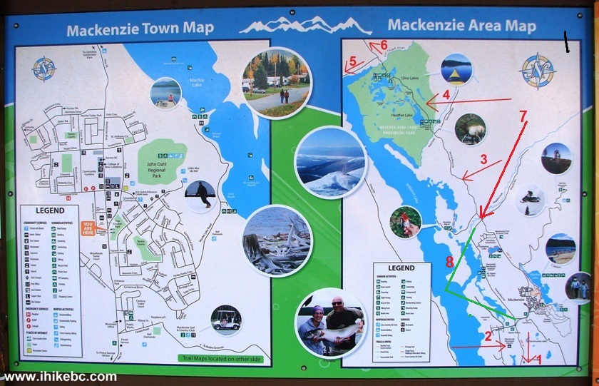
Mackenzie BC Town Map and Mackenzie Area Map
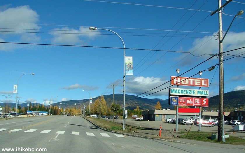
7. We are still on Highway 39 in Mackenzie, driving by a mall.
Mackenzie British Columbia Canada
8. Soon, Mackenzie was mostly behind us, with a small subdivision or two remaining ahead.
BC Highway 39
9. 38.6 km after Highway 97, Highway 39 ends at this intersection, and we are starting on Parsnip West at about the 12th kilometer mark of that road. Zero your odometer at this point, if you want to follow the table of points of interest above.
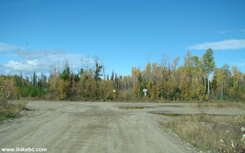
BC Highway 39 at Parsnip West Forest Service Road
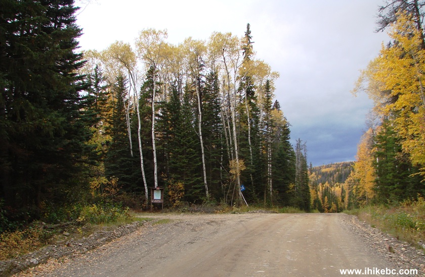
10. A bit further.
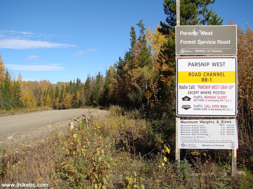
Parsnip West FSR Information Stand
11. Parsnip West here has a speed limit of 80 km/h. However, due to numerous large potholes, a more realistic speed would be around 40-50 km/h.
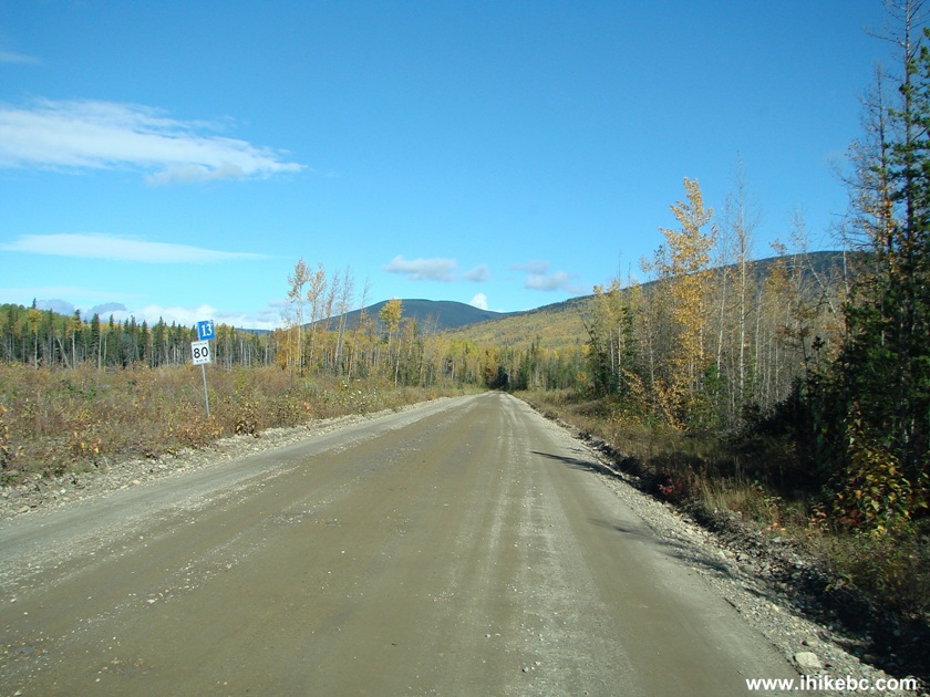
Parsnip West Forest Service Road British Columbia Canada
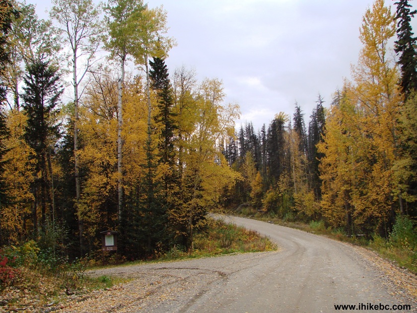
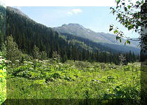
12. Parsnip West FSR is a plain ride, with not much to see, unless you visit some of the more picturesque campsites. Don't remember the exact location of the photo below, but it's one of the more attractive views of this road.
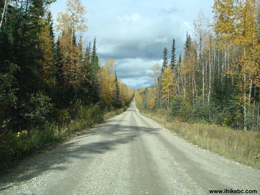
Parsnip West FSR Province of BC Canada
13. A good representation of the numerous and large potholes.
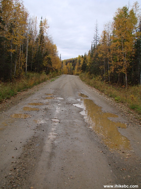
Large potholes Parsnip West FSR
14. At the 12.1 km mark after Highway 39 ended, there is a turnoff to Heather Lake. The RecSite is about 500 meters after the turn.
Parsnip West FSR Heather Lake turnoff British Columbia Canada
15. A map of Heather-Dina Lakes Provincial Park.
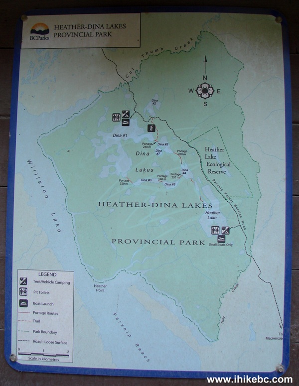
Heather-Dina Lakes Provincial Park Map
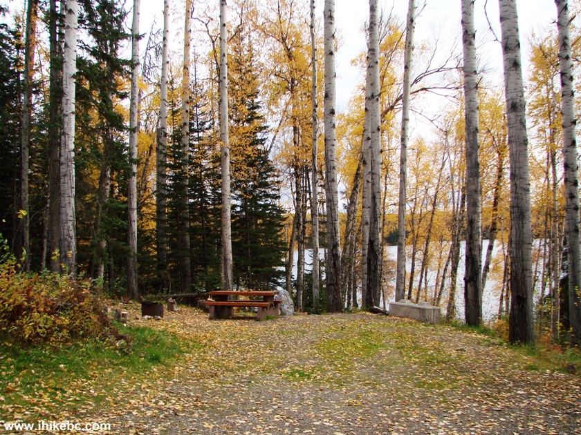
16. A short drive later, we are at the lake. There are one or two camping sites here.
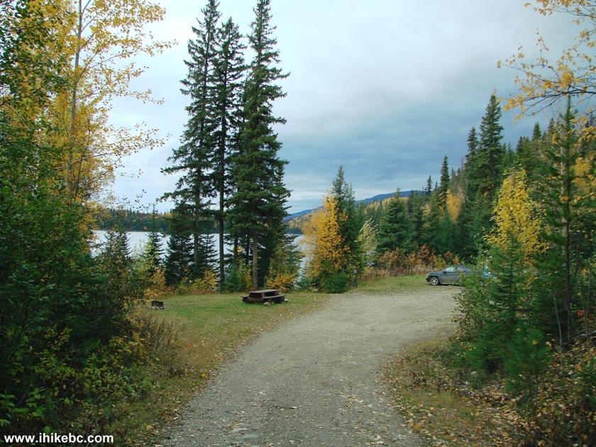
Heather Lake BC Camping Site
17. A place to launch your canoe.
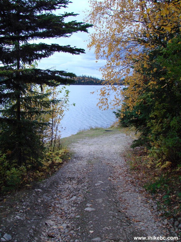
Heather Lake BC Canada
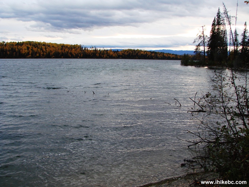
18. Heather Lake.
Heather Lake British Columbia Canada
19. At the 18.6 km mark, Dina Lakes turnoff is on the left side. The RecSite itself starts very shortly after the turn.
Parsnip West FS Dina Lake Turnoff
20. This campground is also small, and it too offers an opportunity to launch a canoe or a small motor-powered boat. A sign advised that this is a car-top boat launch only.
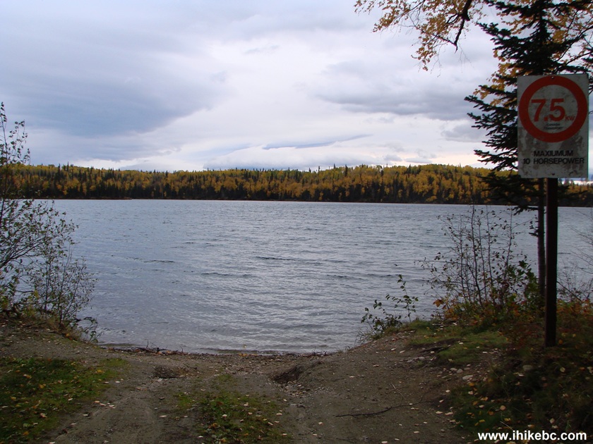
Dina Lake BC Boat Launch
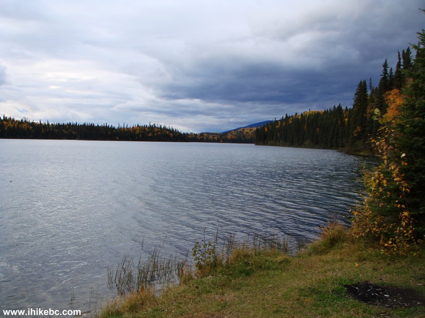
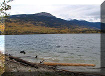
21. Dina Lake.
Dina Lake British Columbia Canada
22. Dina Lake camping spot, one of about five.
Camping Spot Dina Lake BC Canada
Our coverage of Parsnip West FSR Continues on Page 2.


|
 |
Other Trips in Mackenzie BC Area:
|
|
|
|
|
|
|
Other Trips:


![]()


![]()
![]()
![]()
ihikebc.com Trip 096 - Parsnip West Forest Service Road (near Mackenzie BC) Page 1 of 2