![]()
![]()
![]()

Trip 065 - August 11, 2014 (Monday)
Second Trip to Crooked Falls
Off Squamish River Ashlu-Main
Forest Service Road
Distance From Vancouver: About 102 km - 65 km via Highway 1 West and Highway 99 (Sea-to-Sky) North to Squamish Adventure Centre, then keep driving straight on Highway 99 and turn left onto Squamish Valley Road 9.6 km later, then drive for 23 km to Squamish River FSR, and turn left onto Ashlu Main 1.2 km after that. Sigurd Creek Trailhead is on the left side of the road 2.4 km after turning onto Ashlu Main.
Liked: The Falls itself. One good mountain view.
Of note: Remote wilderness area. No cell phone signal. Several very steep sections. The waterfall viewing area is very close to a steep drop-off. Hiking boots and poles are highly recommended.
Vancouver, Coast & Mountains Backroad Mapbook (2010 edition) Coordinates: Page 21 (Phantom Lake) G2-F3.
103 Hikes in Southwestern British Columbia (2008 edition): hike #24 (Sigurd Creek).
Related Website: Squamish District FSR Conditions.
Previous Trip: 054 - Crooked Falls / Sigurd Creek Trail Hike.
>>> British Columbia Waterfalls Visits.
Follow @ihikebc Tweet
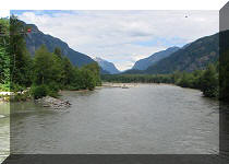
Today we have visited Crooked Falls for the second time, the first being just over three years ago. This time, the waterfall not as impressive due to the smaller water volume, but we did descend to the very bottom of the viewing area and got some neat shots of Crooked Falls from the side.
1. For detailed instructions on how to reach the trailhead, check out our 2011 Ashlu Main report. This time, we are going to post some other photos. This is Howe Sound, as seen from Highway 99 Sea-to-Sky North between West Vancouver and Lions Bay.
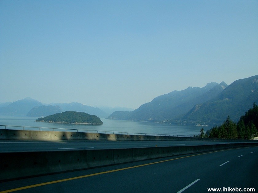
Howe Sound Seen from BC Highway 99 Sea-to-Sky
2. One of the highway exits in Lions Bay. The speed limit between West Vancouver and Squamish is 90 km/h, with several 60 km/h sections in populated areas.
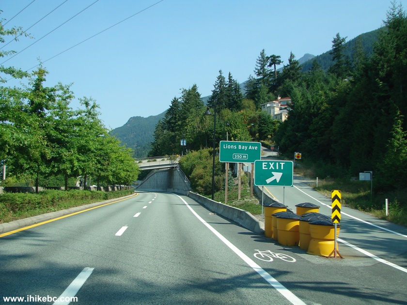
BC Highway 99 North Sea-to-Sky Lions Bay Avenue Exit
3. Here the road goes through a cut in a mountain.
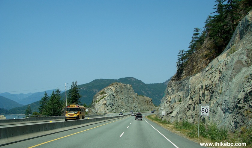
Highway 99 Sea-to-Sky British Columbia Canada
4. The Stawamus Chief appears on the horizon (a great hike).

Stawamus Chief Mountain seen from Highway 99 Sea-to-Sky British Columbia
5. There was a lot of traffic enforcement this Monday, which was right after the Squamish Music Festival weekend. The motorcycle officer you see on the left side, as well as two of his colleagues slightly behind, were about to pull over a Jeep somewhat visible about 100 metres ahead.
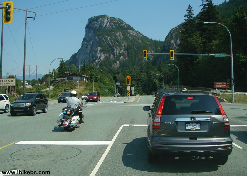
RCMP Motorcycle Officer BC Highway 99 Sea-to-Sky
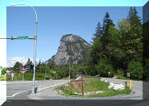
6. Approaching Squamish. Mount Garibaldi on the horizon.
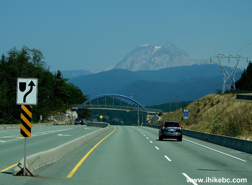
Mount Garibaldi Seen from Highway 99 near Squamish British Columbia
Canada
7. And now we are about to enter Squamish River Forest Service Road.
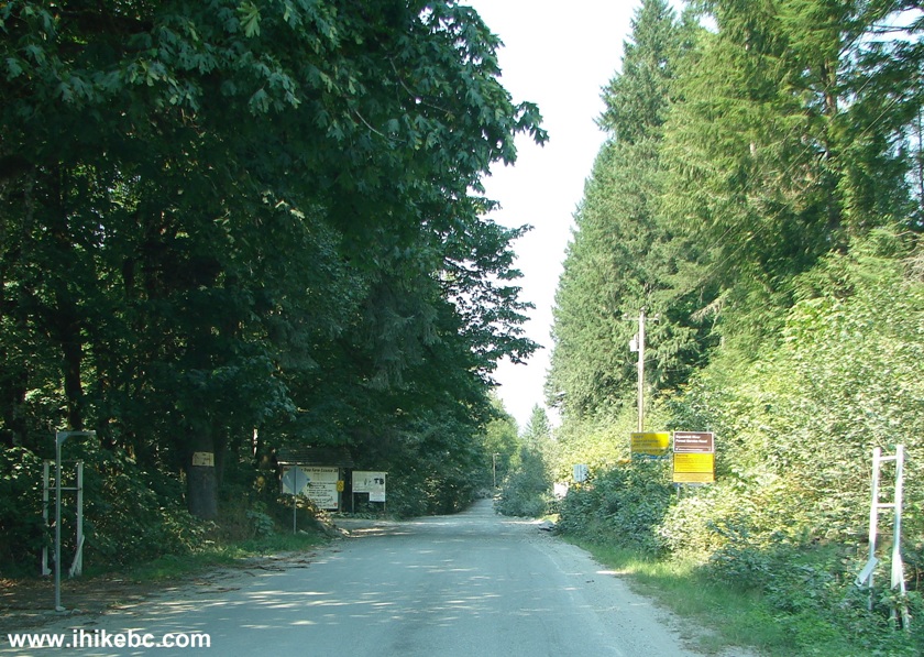
The Beginning of Squamish River Forest Service Road BC Canada
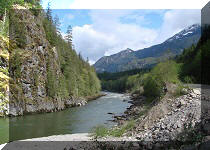
8. 1.2 kilometers later, we have turned left and are crossing Squamish River on a bridge which marks the beginning of Ashlu Main FSR.
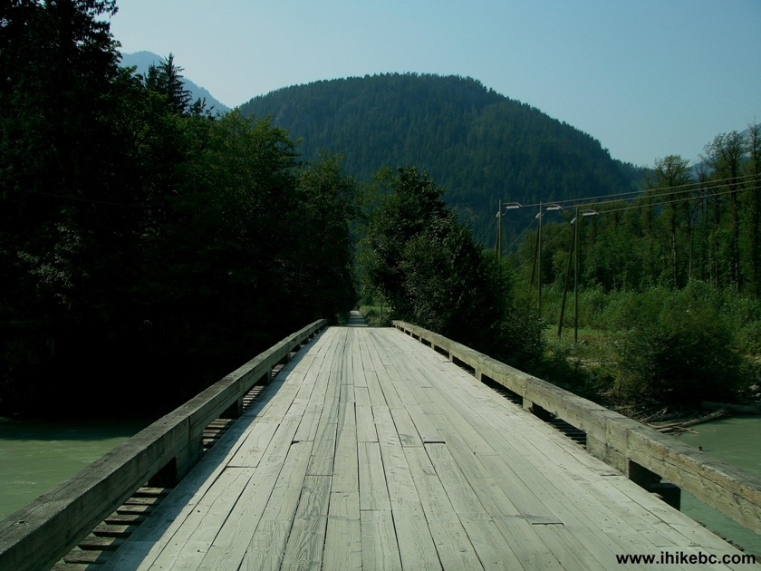
Start of Squamish River Ashlu-Main FSR
9. And now we are already hiking the trail to Crooked Falls. This is one of the few places to get a good mountain view, as the trail mostly goes through a forest.
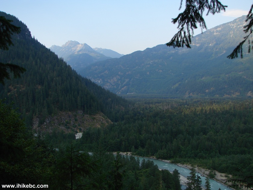
Mountain View Crooked Falls Trail Near Squamish BC Canada
10. Close-up of the mountain.
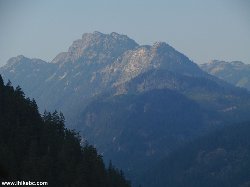
Mountain View Crooked Falls Trail BC Canada
11. Looking to the right.
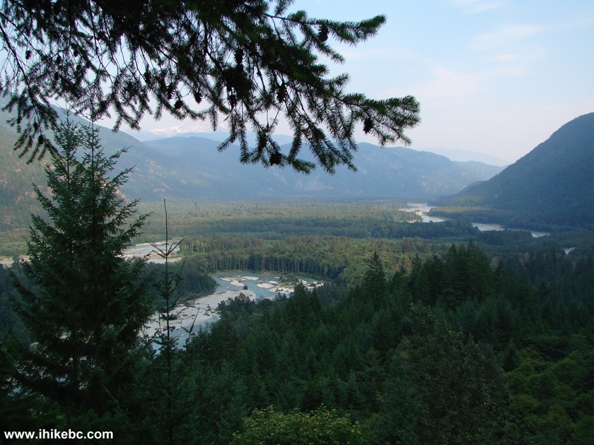
View from Crooked Falls Trail BC Canada
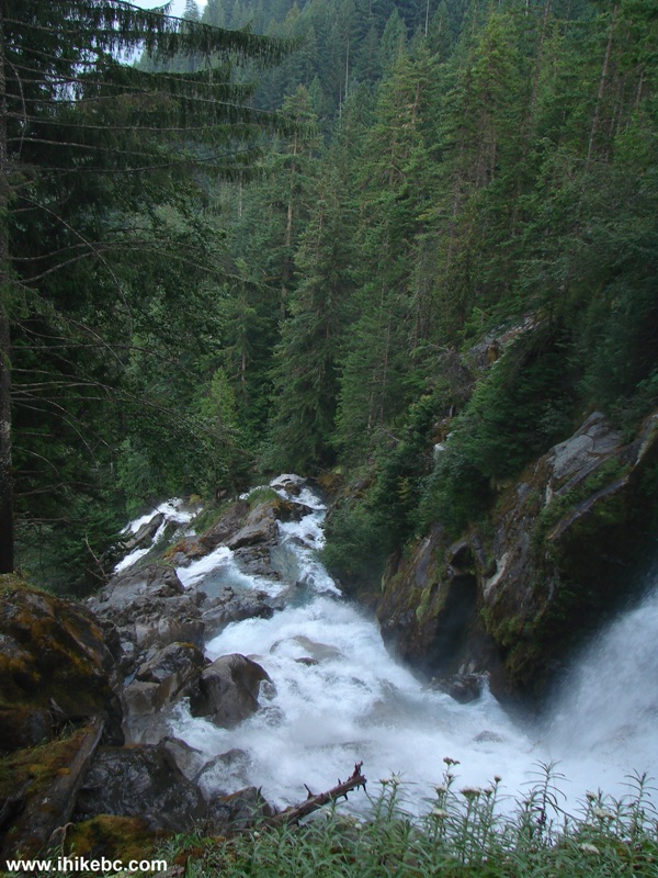
12. About an hour and twenty minutes after starting the hike, you would reach this split. To the left is a ten minute hike to Crooked Falls. To the right is a multi-hour strenuous hike to Sigurd Peak.
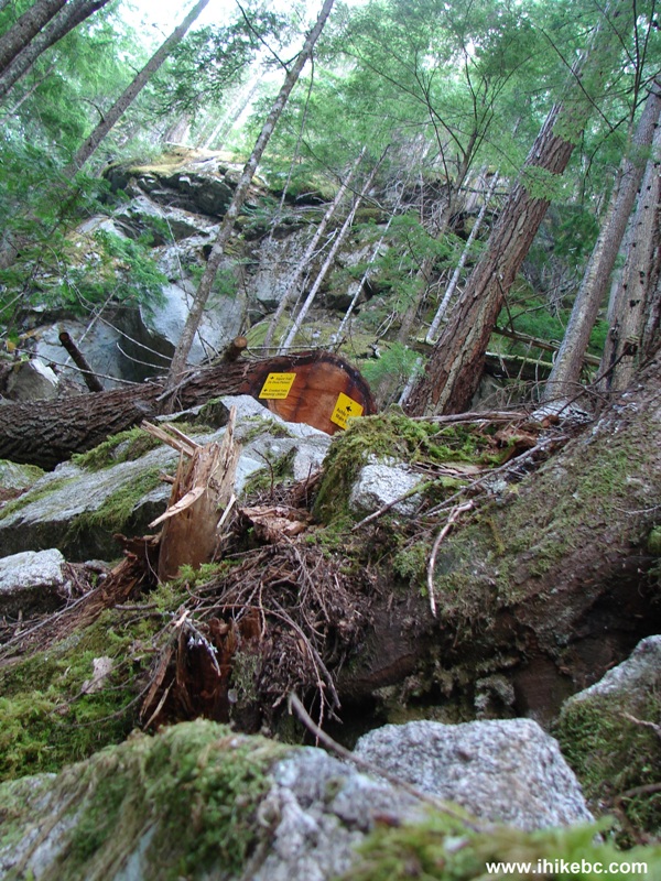
Squamish Hiking -
Crooked Falls - Crooked Peak Trail Split
13. Crooked Falls. Coordinates: N 49⁰53.853' W 123⁰19.386'. Not as big a water volume as three years ago, but still quite impressive, especially since the observation area is right in front of the waterfall. Watch out for a steep unbarricaded drop-off.
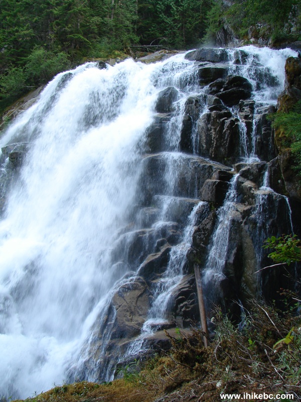
Crooked Falls British Columbia Canada
14. Looking to the left.
Crooked Falls BC Canada
15. More to the left.
Here is our video of the full view of Crooked Falls:
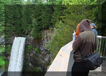
16. There is also an opportunity to descend on the right side to the very bottom of the observation area. It wasn't dangerous this time. However, if the volume of water would be larger, things might get more complicated. Here we are descending to the bottom, which allows to observe the waterfall from the side, and are about midway in our descent.
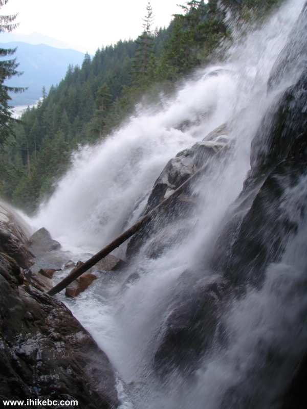
Crooked Falls Side View
17. Closer to the bottom.
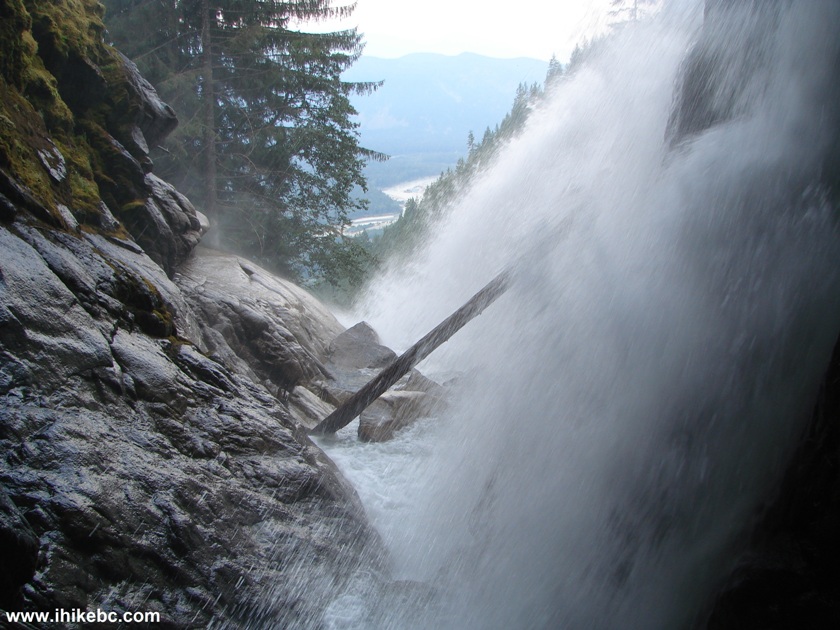
Side View of Crooked Falls BC Canada
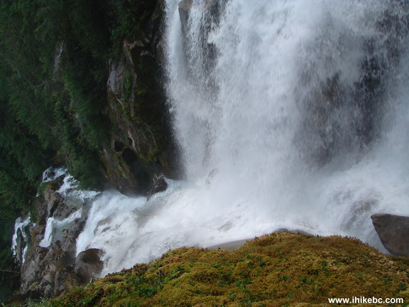
18. At the very bottom of the observation area.
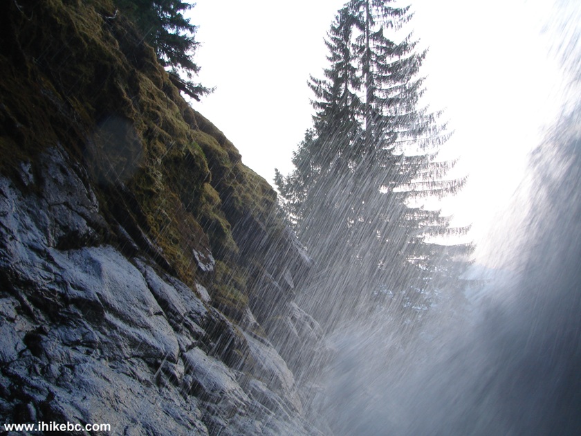
Photo of the View from the Bottom of Crooked Falls
Here is our video of the side view of Crooked Falls:
More ihikebc videos are on our YouTube Channel.
It was yet another good visit to Crooked Falls.


|
 |
Other Trips in Squamish Area:
|
|
|
|
|
|
|
|
|
|
|
|
|
|
|
|
|
|
|
|
|
|
Mamquam River FSR
|
|
|
Seed Peak Trail
|


Other Trips:


![]()


![]()
![]()
![]()
Follow @ihikebc Tweet
ihikebc.com Trip 065 - Second Trip to Crooked Falls (near Squamish BC)