![]()
![]()
![]()

Trip 111 - July 15, 2016 (Friday)
Carp Lake Road (War Falls Visit)
Near Mackenzie BC
Carp Lake
Road Start Location: Northeastern British Columbia,
140 km North of Prince George.
Liked: Smooth road with very few potholes, War Falls.
Of note: The road becomes narrow and winding after the 9 km mark.
Northern BC Backroad Mapbook (3rd edition) Carp Lake Turnoff from Highway 97 Coordinates: Page 41 (McLeod Lake) E4.
Related Website: Carp Lake Provincial Park - BC Parks.
>>> British Columbia Waterfalls Visits.
Carp Lake Road starts off BC Highway 97 near Mackenzie, and leads to Carp Lake Provincial Park, as well as to a short trail to War Falls. The road is very smooth, but substantially narrows and becomes winding at about the 9 km mark, making for some close calls when encountering other vehicles, especially if one or both vehicles have trailers.
Points of Interest for Carp Lake Road:
| KM | Feature | Side |
| 0.3 | Bridge | Straight |
| 0.4 | McLeod Lake Indian Reserve entrance | S |
| 0.9 | Bridge | S |
| 1.7 | Tse'khene Food & Fuel | L |
| 2.1 | Asphalt ends, gravel starts | S |
| 3.1 | McLeod-Hammett FSR | L |
| 6.3 | Forest Service Road (FSR) | L |
| 9.0 | War Horse Lake | L |
| 9.1 | (approx) The road narrows | S |
| 14.3 | FSR | L |
| 21.6 | 9200 Rd (FSR) | L |
| 23.1 | Carp Lake Provincial Park Entrance | S |
| 23.2 | War Falls Trailhead | R |
| 23.5 | Bridge (McLeod River) | S |
| 23.6 | War Rd (FSR) | R |
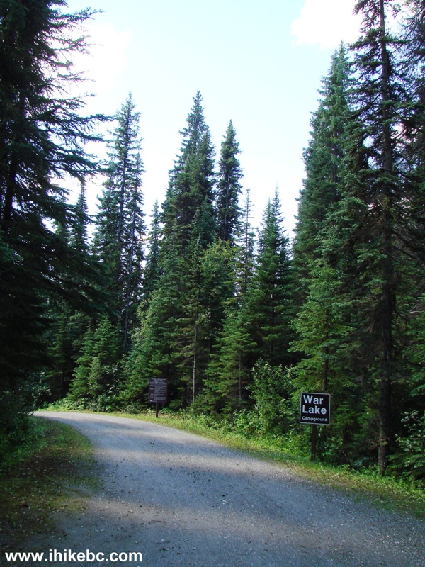
| 24.2 | War Lake Campground (12 sites) | L |
| 30.2 | Rainbow Lake/McLeod River Trail | L |
| 31.5 | Carp Lake Campground (80 sites) | S |
1. We are on Highway 97 South, with Carp Lake Road turnoff seen ahead on the right side. Prince George is approximately 140 km further South, and Mackenzie Junction (Highway 97 at Highway 39) is about 17 kilometers behind us.
Coordinates for the Carp Lake Road turnoff: N 54⁰59.511' W 123⁰02.007'. Elevation: 700 meters. Zero your odometer at the turnoff, if you want to follow the points of interest in the table above.
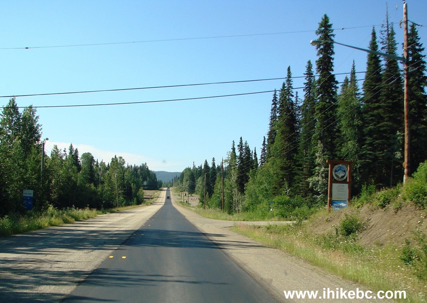
BC Highway 97 at Carp Lake Road Near Mackenzie
2. Carp Lake Road shortly after the turnoff.
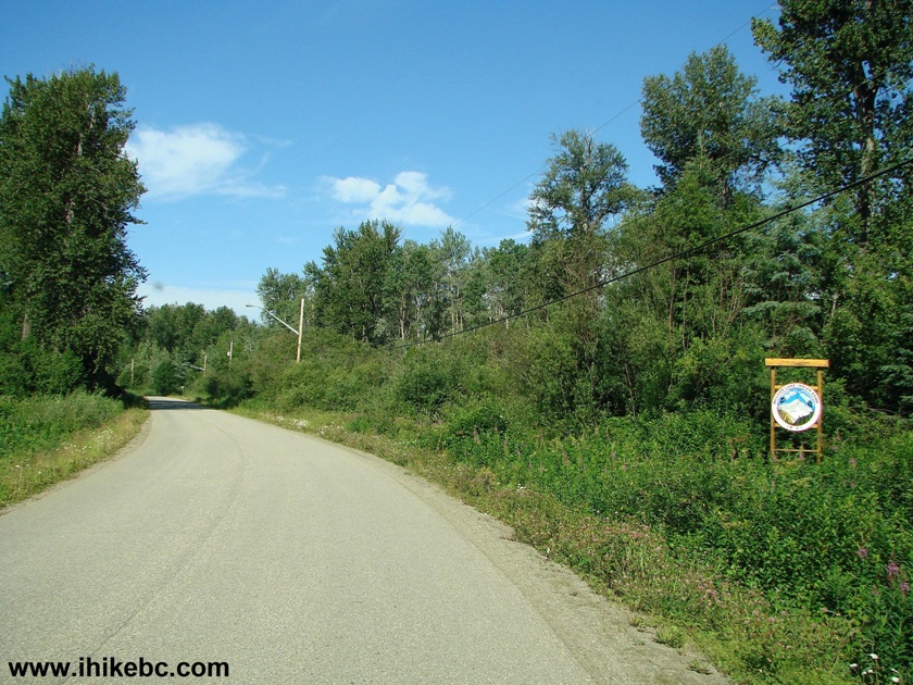
Carp Lake Road near Mackenzie British Columbia Canada
3. A neat sign.
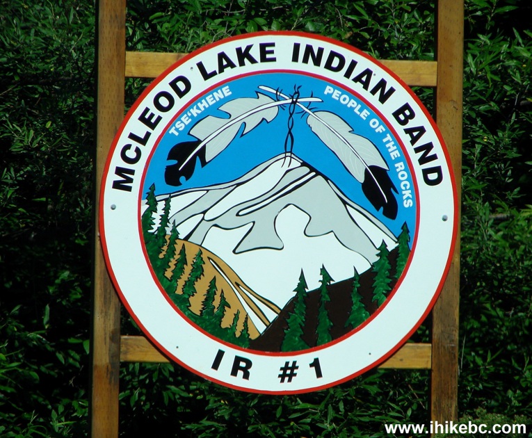
McLeod Lake Indian Band Sign
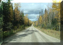
4. The road becomes gravel after the 2.1 km mark. It becomes narrow and winding at about the 9 km mark, so watch out for incoming vehicles towing boats, especially if you are towing one yourself - things can get complicated, if either you or the driver of the incoming vehicle are not watching the speed. The photo below is when the road is still wide and fairly straight.
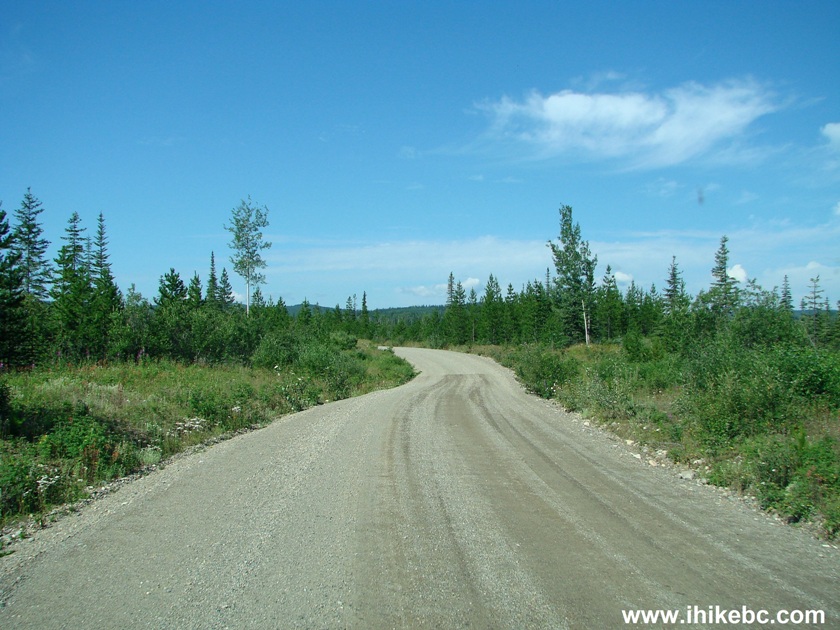
Carp Lake Road near Mackenzie BC Canada
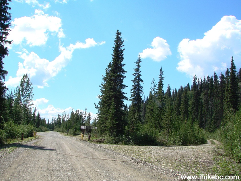
5. The entrance to Carp Lake Provincial Park is at the 23.1 km mark.
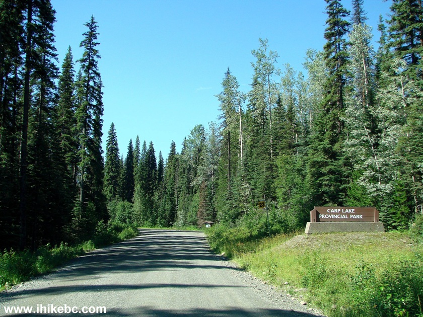
Entrance to Carp Lake Provincial Park British Columbia Canada
6. And, just down the road, is an information board and a trailhead to War Falls (to the right of the board).
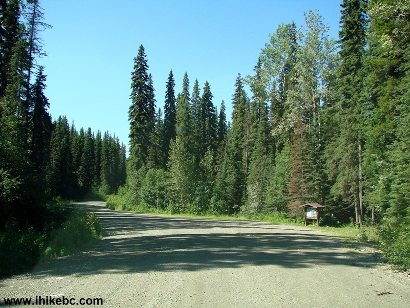
Carp Lake Provincial Park
7. The map of the park on the information board.
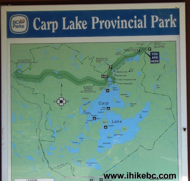
Map of Carp Lake Provincial park BC Canada
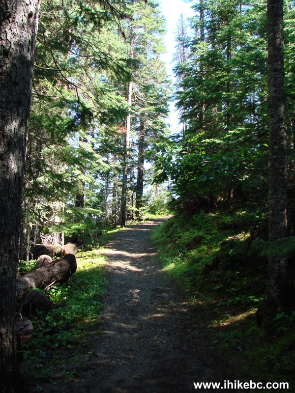
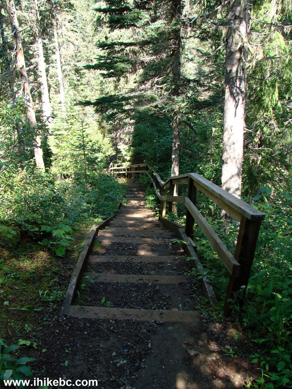
8. The short (about 10 minutes one way) trail to War Falls is easy, with several long staircases in the steepest parts.
Mackenzie
Trail to War Falls in Carp Lake Provincial Park
9. One of the staircases.
Staircase on the trail to War Falls - Mackenzie Hike BC Canada
10. There are actually three waterfalls in quick succession. The first one is quite picturesque.
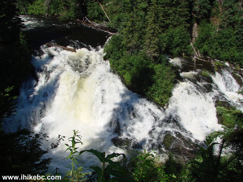
First War Falls - Hiking in Mackenzie area
11. A close-up of the right side of the first waterfall.
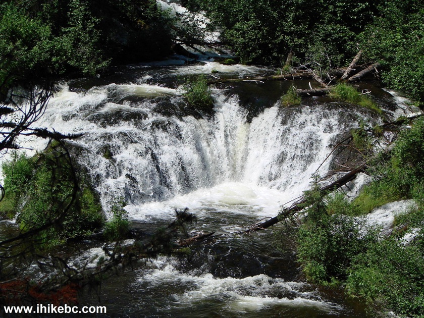
12. The second waterfall is fine too - a slight zoom used.
Second War Falls
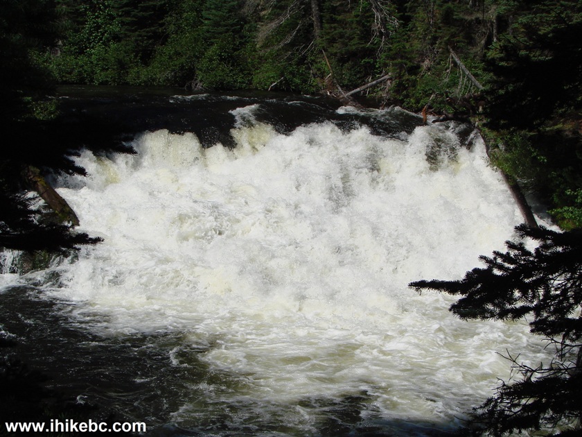
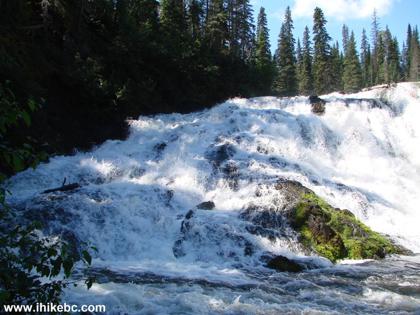
13. The third and main waterfall is at the end of the trail, and there is a small observation platform there. War Falls definitely reminded of Kinuseo Falls, except it looked at least five times shorter.

Main War Falls in Carp Lake Provincial Park British Columbia Canada
14. War Falls is very wide, so here is the part on the left which was too wide for our camera in the photo above.
Here is Our Video of War Falls:
More ihikebc videos are on our YouTube Channel.
15. Continuing on Carp Lake Road, War Lake campground (twelve camping spots) is at the 24.2 km mark. Camping is $20 per night during the season.
16. One of the camping spots.
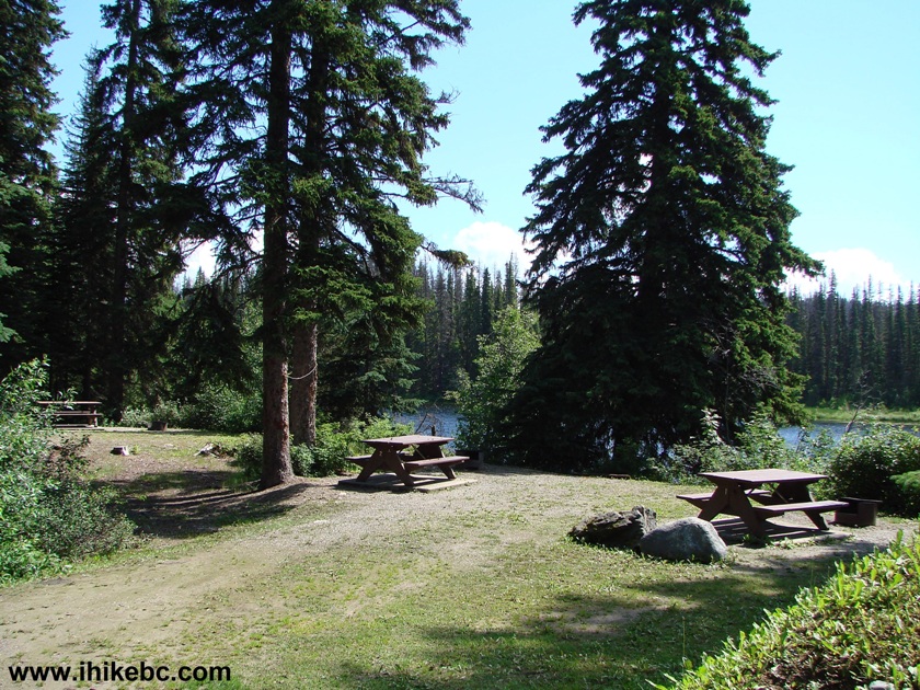
War Lake campground Carp Lake Provincial Park near Mackenzie BC
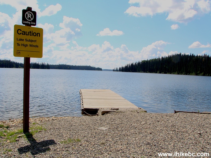
17. War Lake itself, featuring a boat launch.
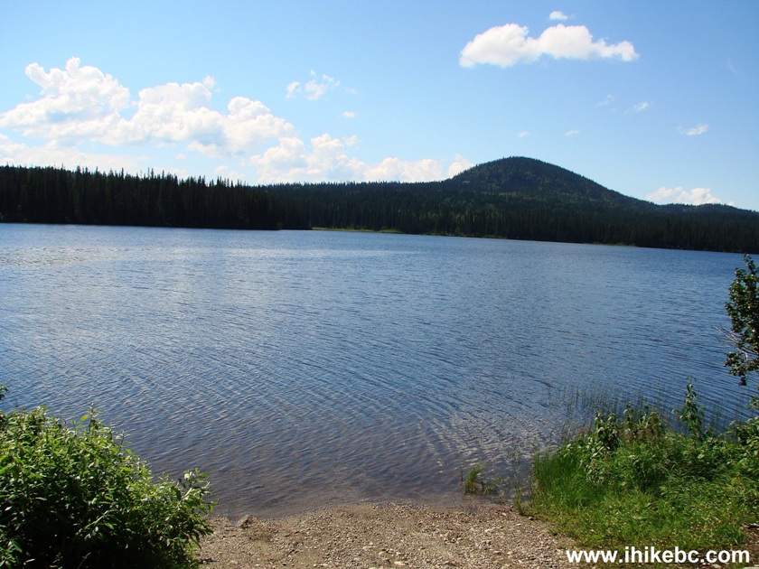
War Lake in Carp Lake Provincial Park
18. Continuing on Carp Lake Road.

Carp Lake Road near Mackenzie BC Canada
19. Turnoff to Rainbow Lake and McLeod River Trail is at the 30.2 km mark.
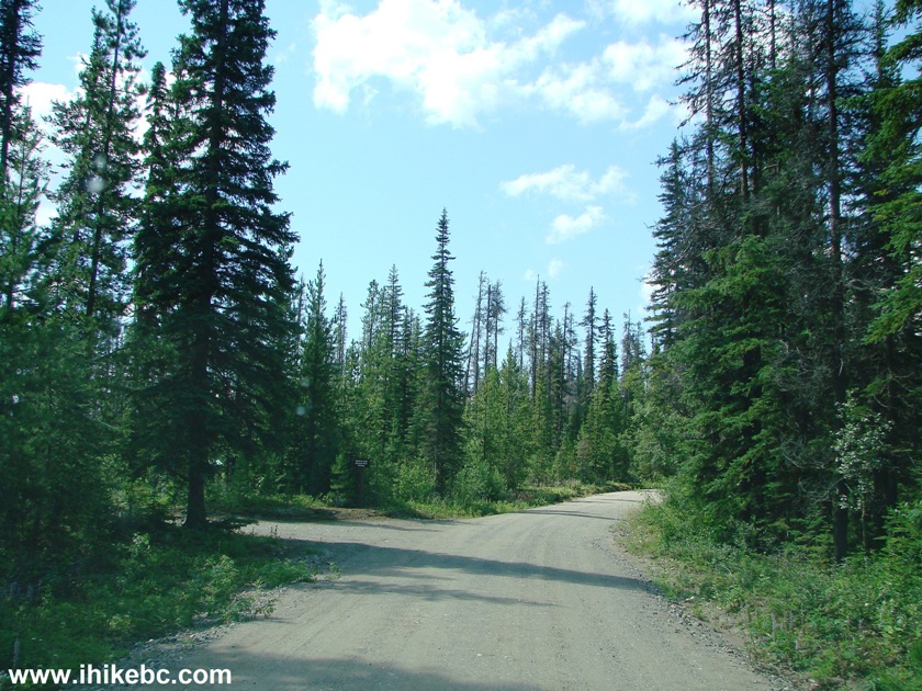
Carp Lake Road at Rainbow Lake / McLeod River Trail turnoff
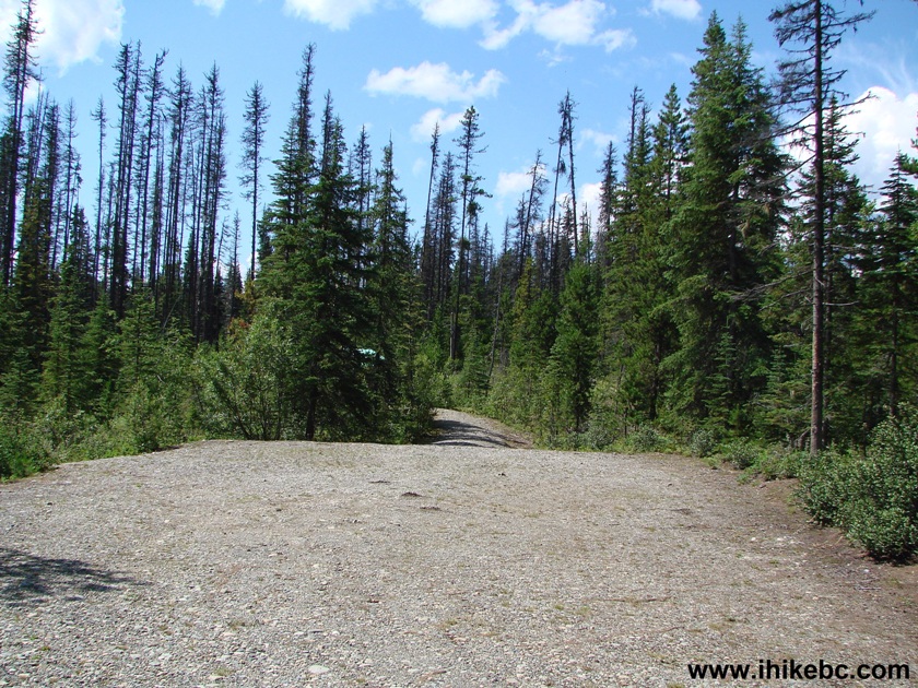
20. Parking area.
21. Map of the trail. You can walk to Carp Lake campground from here.
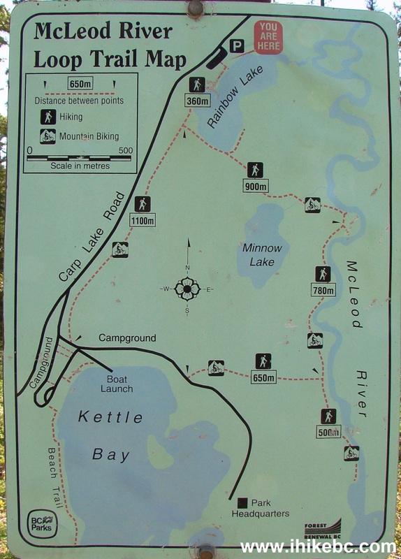
McLeod River Loop Trail Map - Carp Lake Provincial Park British Columbia
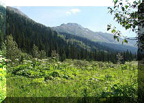
22. We only had time to take a photo of Rainbow Lake before returning to the parking area.
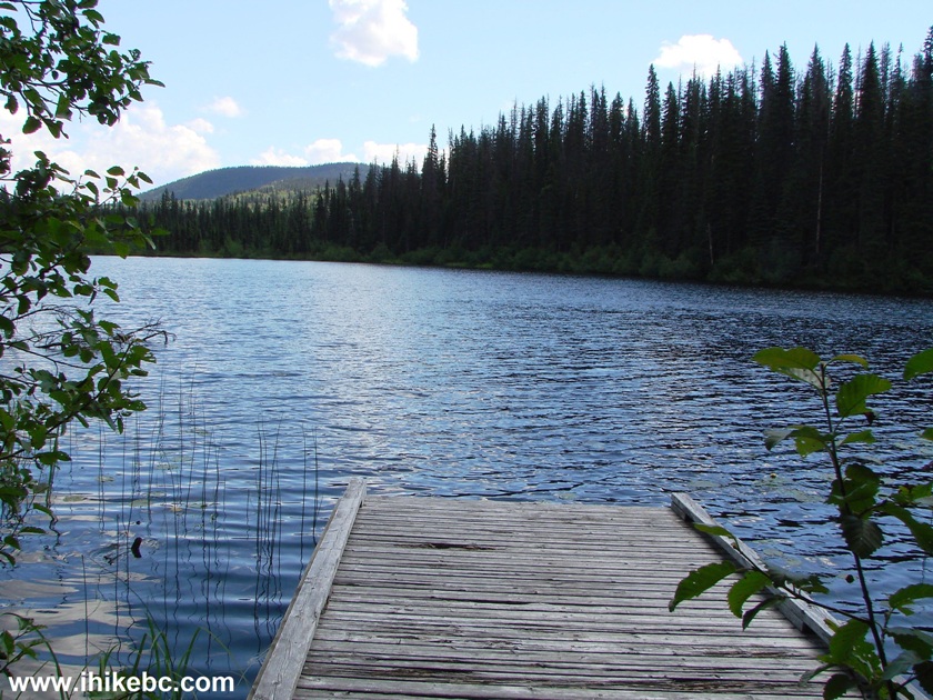
Rainbow Lake in Carp Lake Provincial Park near Mackenzie BC Canada
23. At the 31.5 km mark, there is an entrance gate to Carp Lake Campground. A forest service road begins to the right of the gate, but it is much more rough and narrow than Carp Lake Road - we followed it for 500 meters until it became overgrown. Backroad Mapbook shows that there are roads leading for many kilometers from there.
Carp Lake campground entrance
24. Carp Lake Campground rules.

Carp Lake campground rules
25. Carp Lake - you can also reserve a camping site on one of the four islands on the lake.
Carp Lake British Columbia Canada
26. A view from one of eighty camping sites.
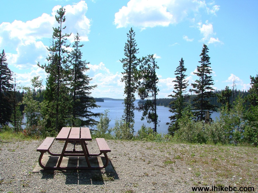
Carp Lake campground near Mackenzie BC
Visiting War Falls was sure a neat experience, and Carp Lake Campground offers good camping, if you are interested. Just watch out for that narrow and winding part of Carp Lake Road.


|
 |
Other Trips in Mackenzie BC Area:
|
|
|
|
|
|
|
Other Trips:


![]()


![]()
![]()
![]()
ihikebc.com Trip 111 - Carp Lake Road / War Falls Visit (near Mackenzie BC)