![]()
![]()
![]()

Trip 102 - May 14 & 16, 2016 (Saturday & Monday)
Chuchinka-Colbourne Forest Service Road
Via Chuchinka-Red Rocky Forest Service Road
Location (via Chuchinka-Red Rocky FSR):
Approximately 110 kilometers North of Prince George, off
Highway 97.
Liked: Very smooth and mostly wide FSR, several recreation sites with lake views and boat launches, not very busy, a circle tour of Tacheeda Lakes is (potentially) possible.
Northern BC Backroad Mapbook (3rd edition) Coordinates for Chuchinka-Redrocky FSR off Highway 97: Page 27 (Bear Lake) B2.
Other Forest Service Roads Trips: Chehalis (by Harrison Mills), Chilliwack Bench, Chilliwack Foley, Chilliwack Lake, Clear Creek (off Harrison East), Florence Lake (access to Stave Lake by Mission), Harrison East, Harrison East Second Trip, Harrison West, Jones Lake (near Hope), Lost Creek (by Mission), Mamquam River (by Squamish), Nahatlatch (near Boston Bar), Parsnip West (by Mackenzie), Scuzzy (by Boston Bar), Shovel Creek (off Harrison East), Sowaqua Creek (by Hope), Squamish River Main, Squamish River Ashlu, Squamish River E-Main, Squamish River FSR Washout, Windfall Creek (by Tumbler Ridge).
Chuchinka-Colbourne Forest Service Road is located North of Prince George, and leads to several recreation sites, as well as Tacheeda Mountain Hiking Trail. This FSR actually starts in the community of Bear Lake, and runs parallel to Highway 97 for some distance. It is possible to join Colbourne FSR past Bear Lake via Chuchinka-Red Rocky FSR off Highway 97, and we did just that on this visit. We drove Colbourne FSR to km 35.3, where Crocker FSR braches off. We also took Anzac Road (splits with Colbourne at km 27.5) in an attempt to do a Tacheeda Lakes Circle Tour, but were soon stopped by a road erosion.
Zero your odometer after turning onto Chuchinka-Red Rocky FSR, if you want to follow the mileage markers in the table below. Please, note that, after Red Rocky FSR meets Colbourne FSR at 7.7 km, Red Rocky FSR ends, and Colbourne continues both ahead (towards recreation sites) and to the right (towards the settlement of Bear Lake). The "narrow canyon" sign at km 9.3 basically warns of the road narrowing down. There is no dangerous canyon there, but the possibility of a close call with industrial traffic does get bigger.
Almost all recreation sites have pit toilets, but there are no garbage bins.
| KM | Feature | Side |
| 1.6 | Forest Service Road (FSR) | Left (L) |
| 3.6 | Bridge | Straight (S) |
| 5.1 | FSR | L |
| 7.7 | Chuchinka-Colbourne FSR | R |
| 8.9 | Fishhook Lake Recreation Site (RS) | R |
| 9.3 | "Narrow canyon ahead" warning sign | L |
| 11.4 |
Chuchinka-Hambone FSR (access to other recreation sites) |
L |
| 17.6 | Tacheeda Lake Mid RS | L |
| 18.1 | Tacheeda Mountain Hiking Trail | R |
| 18.4 | Tacheeda Lake Point RS | R |
| 19.2 | FSR | L |
| 22.1 | Tacheeda Lake NE RS | R |
| 22.6 | Bill's Creek FSR | R |
| 24.7 | Bridge | S |
| 25.1 | Railroad Crossing | S |
| 25.3 | Another Railroad Crossing | S |
| 26.4 | Small camping area & boat launch | R |
| 27.5 | Anzac Road | L |
| 28.0 | Bridge | S |
| 28.5 | Chuchinka-Table FSR | R |
| 35.3 | Crocker FSR | R |
1. We are on BC Highway 97, about 100 kilometers North of Prince George, with the turnoff to Chuchinka-Red Rocky FSR seen ahead. Coordinates: N 54⁰37.361' W 122⁰42.013'. Elevation: 689 meters. Zero your odometer after the turn, if you want to follow the mileage markers in the table above.
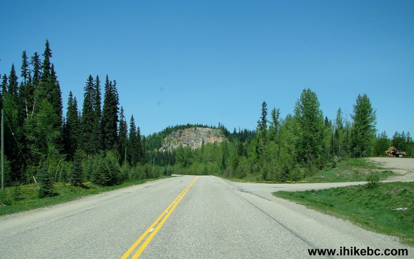
BC Highway 97 turnoff to Chuchinka-Red Rocky Forest Service Road
2. After the turn, there is a railroad to be crossed.
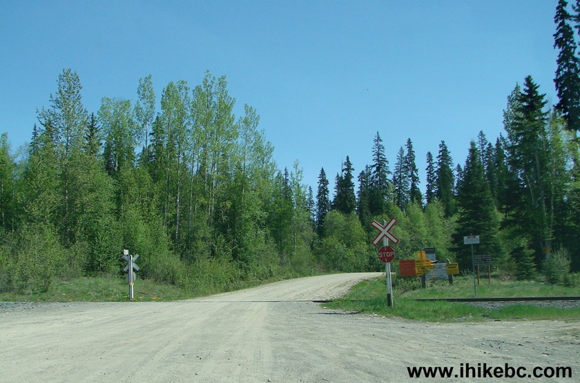
Chuchinka-Red Rocky FSR North of Prince George British Columbia Canada
3. Right after the railroad, there are a bunch of signs, with one of them warning of a 24/7 logging operation, and requesting not to enter this road without a two-way radio communication device (Channel Frequency: Anzac 152.930). By the way, we have seen many signs of past logging activity, but no active logging during our three-day visit.
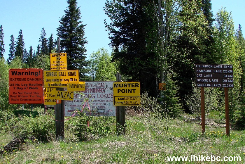
Warning Signs and Information Signs Chuchinka-Red Rocky Forest Service
Road
4. There is also a map of Tacheeda Lakes Circle Tour. However, due to the road erosion, this circle may not be possible to complete.
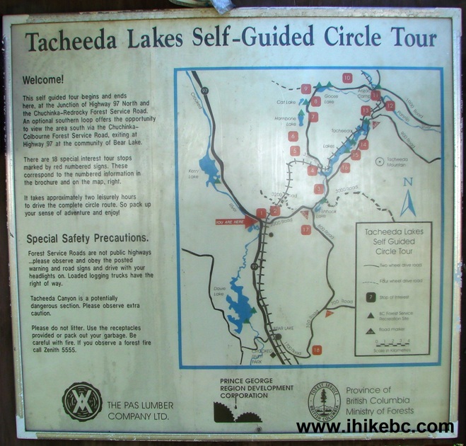
Tacheeda Lakes Self-Guided Circle Tour Map
5. We are now at the 7.7 km mark of Chuchinka-Red Rocky FSR, with Chuchinka-Colbourne joining from the right. Red Rocky ends here, and Colbourne continues. Turning right onto Colbourne would eventually lead to the community of Bear Lake. We have not travelled this stretch of Colbourne and are unaware of the current state of the road. We went straight ahead at this intersection.
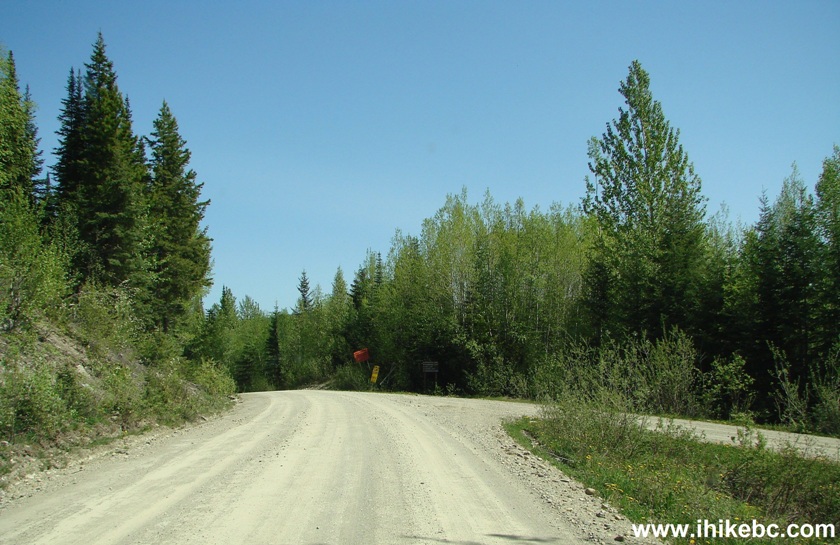
Chuchinka-Red Rocky FS at Chuchinka-Colbourne FSR
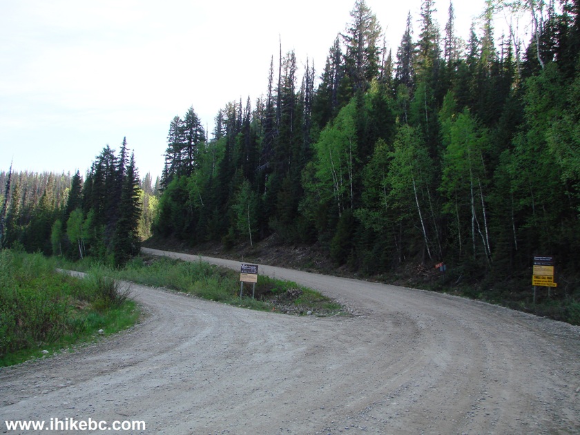
6. Chuchinka-Colbourne FSR past the intersection.
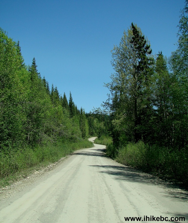
Chuchinka-Colbourne Forest Service Road British Columbia Canada
7. Fishhook Lake Recreation Site turnoff is at the 8.9 km mark. This site has about eight camping spots and a lot of flies.
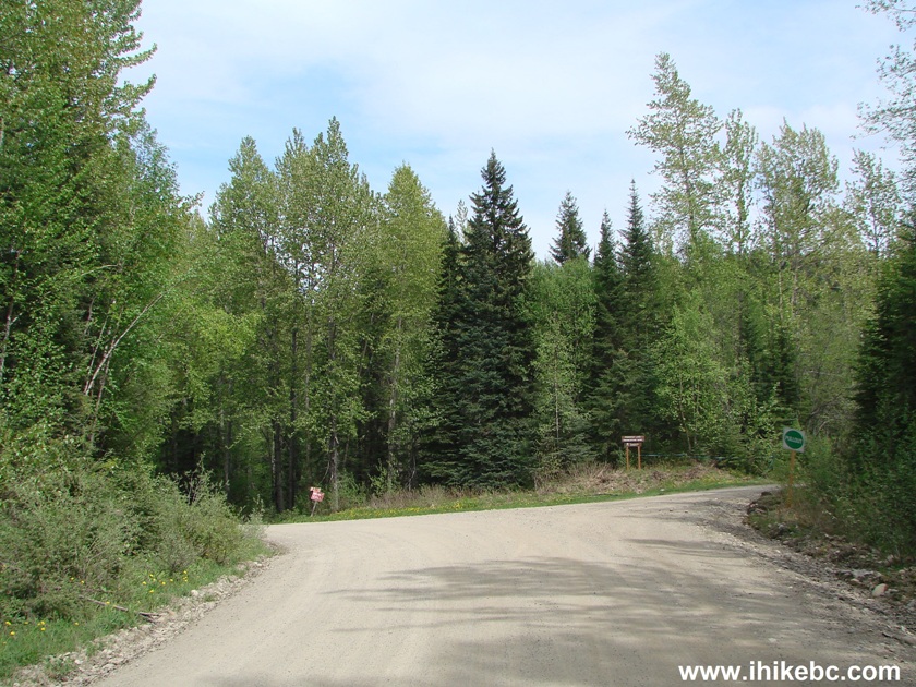
Chuchinka-Colbourne FSR at Fishhook Lake Recreation Site Turnoff
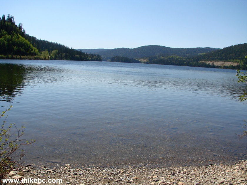
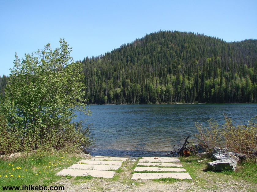
8. A view of Fishhook Lake from the boat launch. The short dirt road to the boat launch makes a fairly sharp turn with trees on both sides of the road, and larger vehicles might have a substantial difficulty navigating with a boat trailer. There is also a large camping spot there with parking for 10+ vehicles.
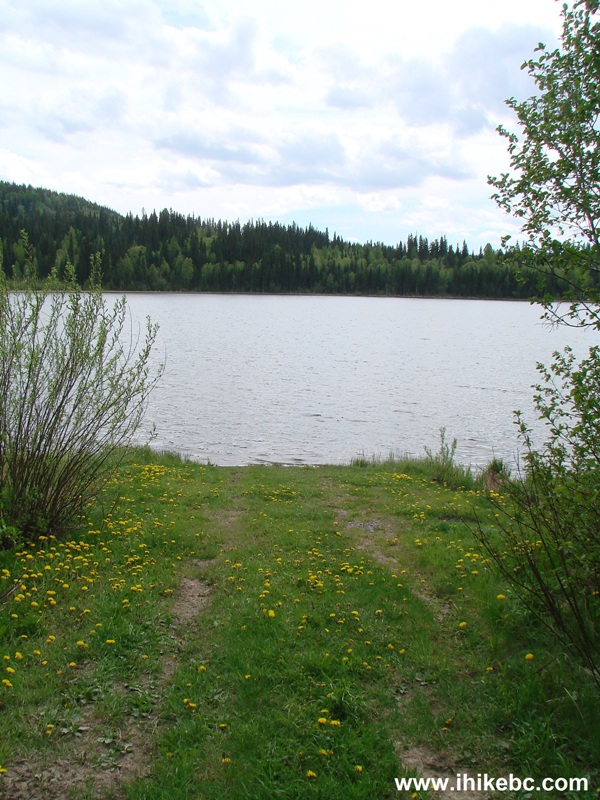
Fishhook Lake North of Prince George BC Canada
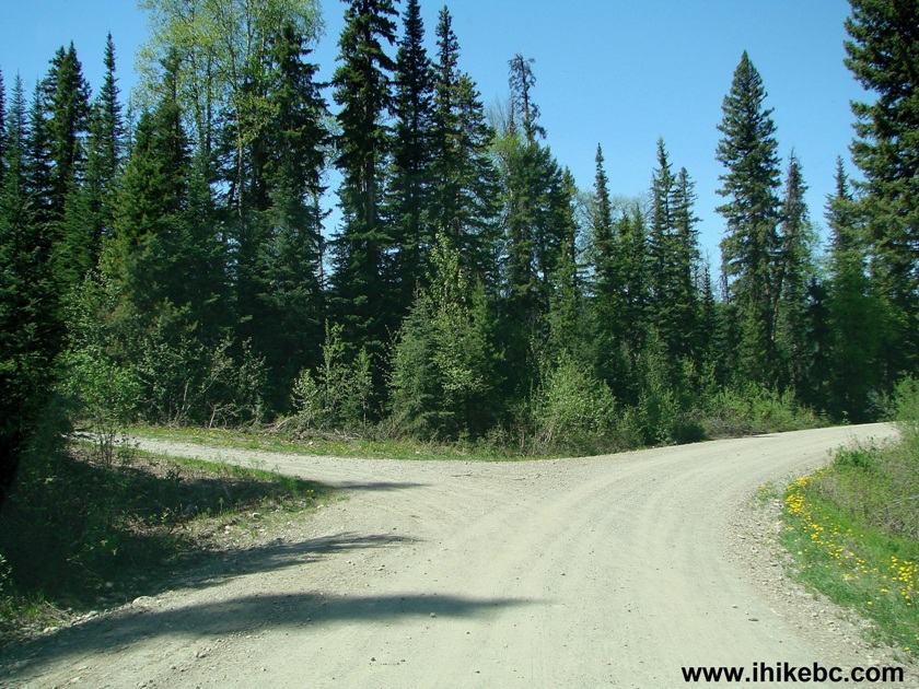
9. Chuchinka-Hambone FSR starts on the left side at the 11.4 km mark of Chuchinka-Colbourne FSR (if counting from the start of Chuchinka-Red Rocky FSR off Highway 97). Turning left at this intersection would lead to three more recreation sites: Hambone Lake (in 10.6 km), Cat Lake (in 12.5 km), and Goose Lake (in 15.5 km).
Chuchinka-Hambone FSR at Chuchinka-Colbourne FSR British Columbia Canada
10. We are continuing on Chuchinka-Colbourne, with Tacheeda Lakes (that's how a few of lakes located nearby are collectively called) starting on the left side soon after the split with Chuchinka-Hambone.
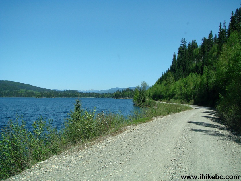
Tacheeda Lakes seen from Chuchinka-Colbourne Forest Service Road BC
Canada
11. Tacheeda Lake Mid Recreation Site turnoff is at the 17.6 km mark. This was by far the busiest site of all six (three on Colbourne and three on Hambone) that we have visited - seven or eight of approximately twelve camping spots were occupied.
Chuchinka-Colbourne FSR at Tacheeda Lake Mid recreation site turnoff
12. Here are the rules in effect at this and other recreation sites.
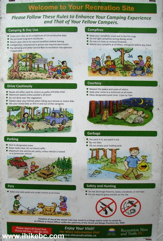
British Columbia Recreation Site Rules
13. A view from the boat launch of Tacheeda Lake Mid Recreation Site.
Tacheeda Lake British Columbia Canada
14. A view from one of the camping spots.
Camping spot at Tacheeda Lake Mid recreation site
15. Tacheeda Mountain Trail starts at the 18.1 km mark. It's just a small opening in the trees on the right side, so watch for flagging tape. If you have reached Tacheeda Lake Point Recreation Site, you have gone about 300 meters past the trailhead. We cover this hike in our next trip report.
Tacheeda Mountain trailhead at Chuchinka-Colbourne Forest Service Road
BC Canada
16. Tacheeda Lake Point Recreation Site is at the 18.4 km mark. There are fourteen camping spots there - none were occupied when we came for a visit, and only one was occupied after we returned from hiking Tacheeda Mountain. We have spent two mostly peaceful nights at this site, with the only noise coming from four trains passing by less than a kilometer away on Friday night, and an occasional vehicle roaring on Chuchinka-Colbourne Forest Service Road.
Chuchinka-Colbourne FSR at Tacheeda Lake Point recreation site turnoff
17. A lake view from the boat launch.
Tacheeda Lake BC Canada
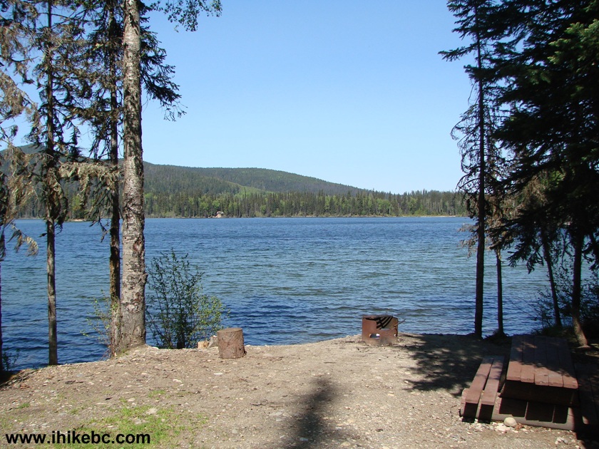
18. A view from a camping spot.
Tacheeda Lake Province of British Columbia Canada
19. Tacheeda Lake NE Recreation Site is actually right by the side of Chuchinka-Colbourne, starting at the 22.1 km mark. The first several camping spots are separated from the road by a row of trees, and the other three or so are within several meters of the FSR - lots of dust and noise from passing vehicles is guaranteed at these last three spots.
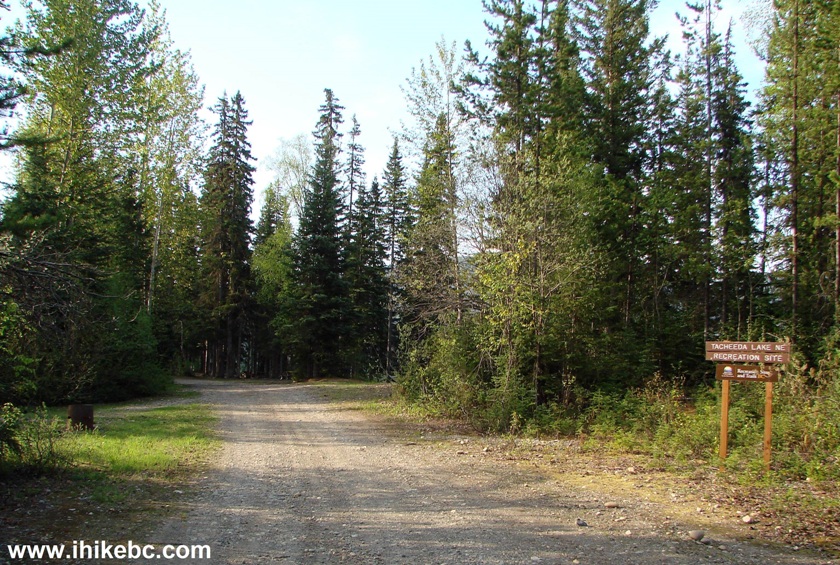
Chuchinka-Colbourne Forest Service Road at Tacheeda Lake NE recreation
site turnoff
20. Here is a view of the camping spots separated from the road by a row of trees.
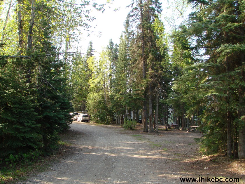
Tacheeda Lake NE recreation site North of Prince George BC Canada
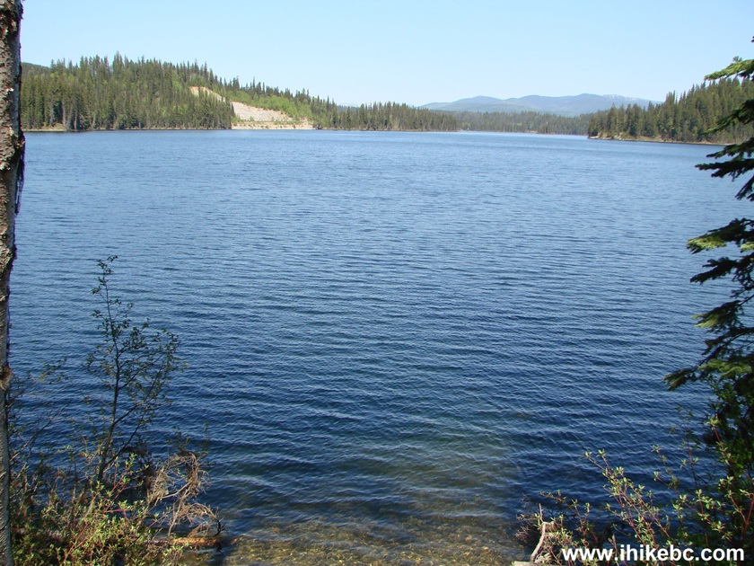
21. This recreation site has arguably the best lake view, though.
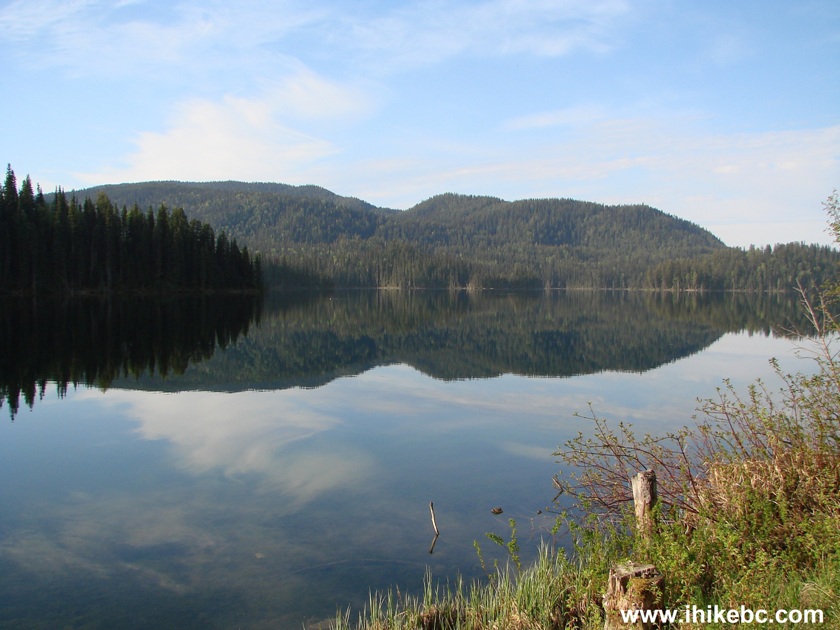
Photo of Tacheeda Lake BC Canada
22. That's it for recreation sites on Chuchinka-Colbourne FSR, though there is a lake access here and there further down the road. Moving on, at the 22.6 km mark, Bill's Creek FSR is on the right side, as seen in this photograph. We then continued on Colbourne up to where Crocker FSR started at the 35.3 km mark, and that was it.
Bill's Creek FSR at Chuchinka-Colbourne FSR
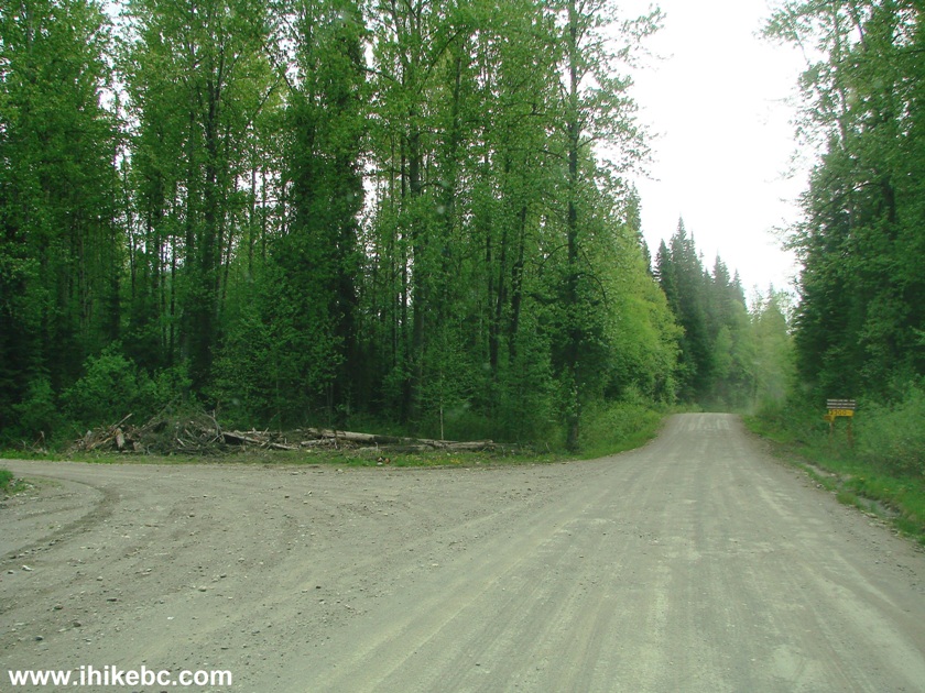
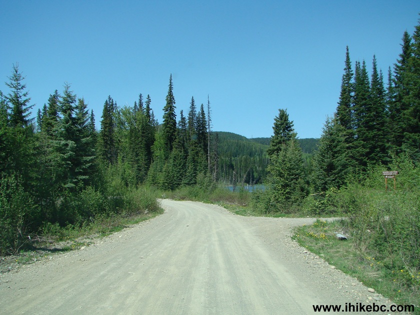
23. The final four photos show our unsuccessful attempt to do a Tacheeda Lakes Circle Tour, as described by a map in photo #4. Here is a 3-way split at the 27.5 mark of Chuchinka-Colbourne FSR (if counting from the start of Chuchinka-Red Rock FSR off Highway 97). On the right is the continuation of Colbourne (which we took to the 35.3 km mark up to Crocker FSR). Going straight ahead leads nowhere within a minute. And, by turning left, crossing the railroad, and continuing along the railroad (by a bit, before moving away from it) is Anzac Road, which is a part of that circle tour we have been trying to complete.
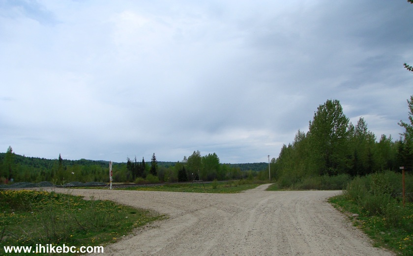
Chuchinka-Colbourne Forest Service Road British Columbia Canada
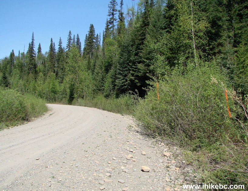
24. A few minutes after turning left, we are driving down a narrow but substantially less dusty Anzac Road.
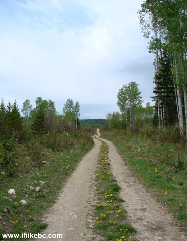
Anzac Road BC Canada
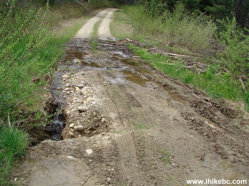
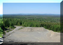
25. Alas, 5.5 km after the three-way split, there is an active road erosion, which made it too risky for us to continue.
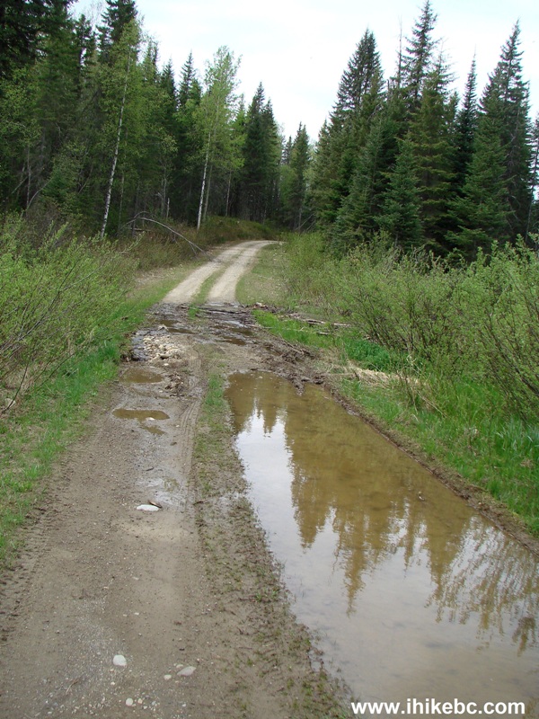
26. An ATV might still make it here, unless it gets worse. There is a pipe crossing under the road at this location, but the creek bypassed the pipe and eats away at the road on the left side of the photo. Where you see the tire track is actually a hole in the ground, and a vehicle might simply fall onto its side by hitting that hole with left tires. Staying more to the right is complicated due to much mud in that area, as there is a pond next to the road. The other option to complete the circle tour and visit the remaining three recreation sites is to take Chuchinka-Hambone FSR, as the road pictured below would eventually lead to the beginning of Hambone FSR, as seen in photo #9.
There is certainly quality camping, boating, and, possibly, hiking to be done by visiting Chuchinka-Colbourne Forest Service Road.


|
 |
Other Trips in Prince George BC Area:
|
|
|
|
|
|
|
|
|
|
|
|
Other Trips:


![]()


![]()
![]()
![]()
ihikebc.com Trip 102 - Chuchinka-Colbourne Forest Service Road (near Prince George BC)