![]()
![]()
![]()

Trip 214 - June 3, 2021 (Thursday)
Mount Thom Lookout Trail Hike
Chilliwack, British Columbia
Liked: Chilliwack/Fraser Valley/mountains view from the main viewpoint and two other viewpoints, a rather short and easy loop trail, shade in the forest, very few bugs.
Of Note: Continuous ruckus in the forest caused by numerous ravens, the viewpoints are getting overgrown, numerous intersecting trails are somewhat confusing, horse riders are possible in the park.
Vancouver, Coast & Mountains Backroad Mapbook (5th edition) Trailhead Coordinates: Page 4 (Chilliwack) D5.
Related Website: Mount Thom Park Lookout Loop Trail - City of Chilliwack Official Website.
Other Trips in Chilliwack Area: Flora Lake Trail, Williams Ridge Trail, Vedder Rotary Loop Trail, Teapot Hill Trail Hike, Chilliwack Dyke Trail, Greendrop Lake Trail, Mount Cheam Peak Trail, Ling Lake Trail Hike (off Chilliwack Foley FSR), Chilliwack Foley FSR, Chilliwack Bench FSR, Elk-Thurston Trail, Slesse Memorial Trail, Downtown Chilliwack BC Visit, Chilliwack Lake FSR, Radium Lake Trail, Chilliwack Lake Provincial Park, Minter Gardens, Town of Agassiz BC, Bridal Veil Falls Provincial Park.
Mount Thom is a neat park located within Chilliwack city limits, yet with relatively few visitors, as it is somewhat out of the way. There are numerous intersecting trails, which, on occasion, created a slight confusion as to which way to go, but, eventually, we figured things out. There are trail markers at key intersections, which make things easier. Also, there are several parking lots at various park entrances, and we have used Churchill Parkway entrance to hike a short (less than 2 km) Lookout Loop Trail, which leads to a very fine viewpoint overlooking Chilliwack, Fraser Valley, and the surrounding mountains.
1
. We are Eastbound on Highway 1 in Chilliwack, approaching Exit 123 Prest Road. Zero your odometer at the exit to follow our mileage markers until the trailhead.
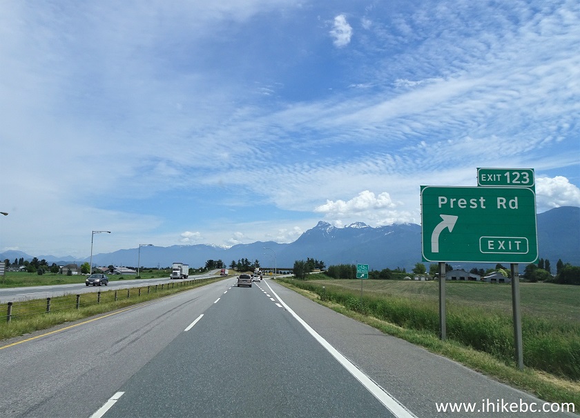
TransCanada Highway 1 Eastbound by Exit 123 Prest Road
2-3. Upon exiting Highway 1, proceed to the end of the off-ramp and turn right onto Prest Road South.
![]()

4-5. At 1.0 km, there is a roundabout. Take Exit 2 and continue on Prest Road South.
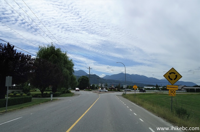
Prest Road Chilliwack BC

6. Driving on Prest Road in Chilliwack.

Prest Road Chilliwack British Columbia Canada
7. At the next roundabout, take the exit to Bailey Road East.
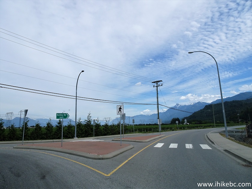
Bailey Road Chilliwack BC
8. At 5.2 km, take Elk View Road on the right side.
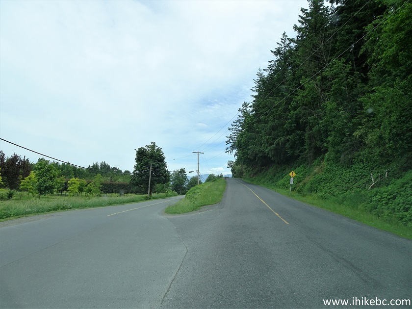
Bailey Road at Elk View Road Chilliwack BC
9. At 6.9 km, turn right from Elk View Road onto Ryder Lake Road. A blue sign with an arrow indicates that Mt. Thom Park is in that direction. Going straight at this intersection would eventually lead to Elk-Thurston Trail.
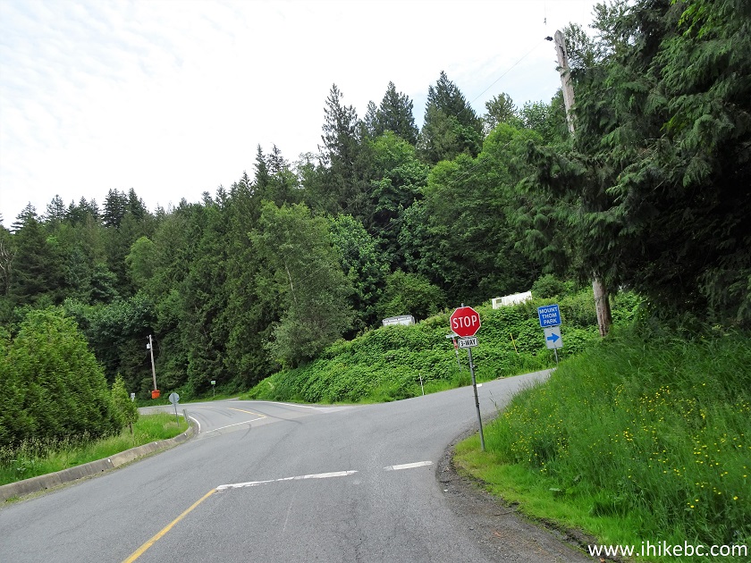
Elk View Road at Ryder Lake Road
10. At 8.8 km, Ryder Lake Road turns left, but we keep going straight on what is now Extrom Road.
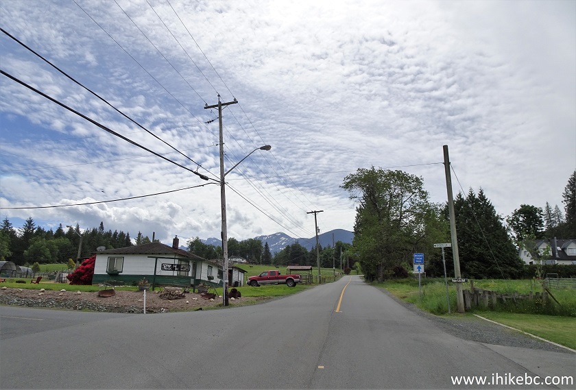
Ryder Lake Road at Extrom Road Chilliwack BC
11. At 9.8 km, turn right from Extrom Road onto Forester Road.
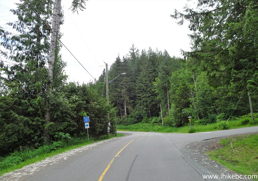
Extrom Road at Forester Road Chilliwack British Columbia
12. At 10.8 km, turn right from Forester Road onto Churchill Parkway.
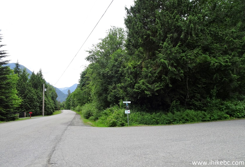
Forester Road at Churchill Parkway Chilliwack BC Canada
13-14. At 11.1 km from Exit 123 of Highway 1, arrive at Mt. Thom Park Churchill Parkway parking lot on the right side. Coordinates: N 49⁰06.137' W 121⁰54.425'. Elevation: 401 meters. A picnic table and a pit toilet are available.

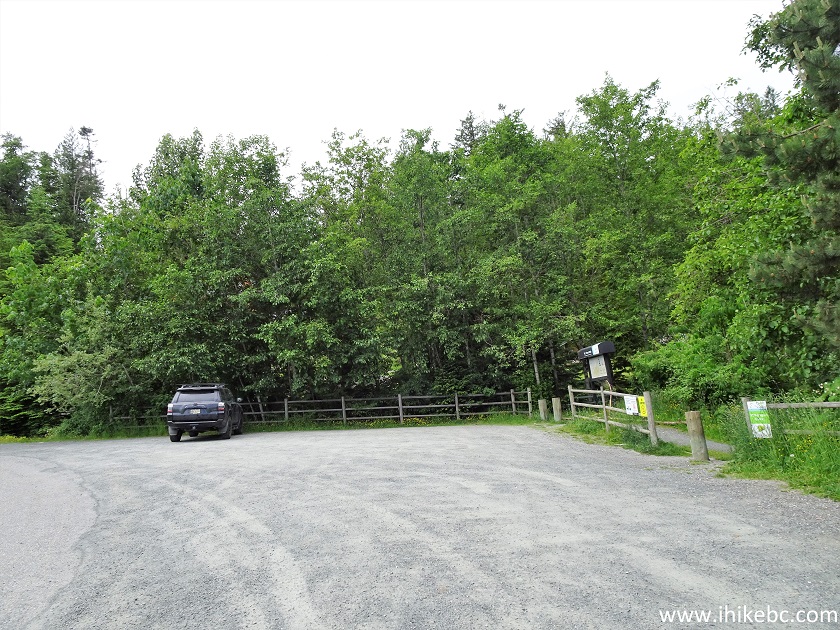
Mount Thom Trailhead Parking by Churchill Parkway in Chilliwack BC
15. Here is a map of Mt. Thom trails. We have indicated our parking lot with a red square, and the lookout point with a blue square.
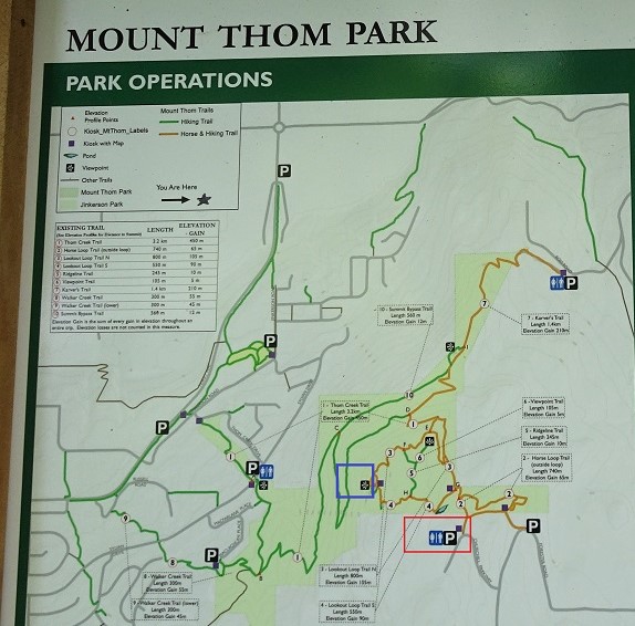
Mount Thom Trails Map
16. Mount Thom Lookout Loop trailhead.
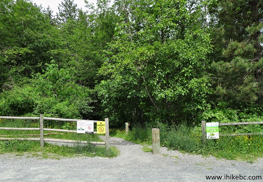
Mount Thom Lookout Loop Trailhead - Chilliwack Hiking
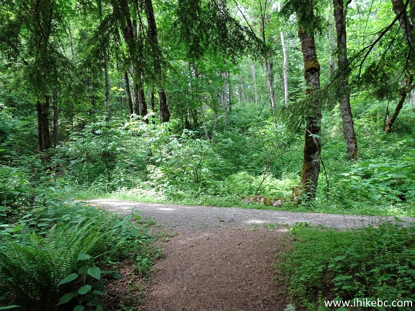
17. The trail begins.
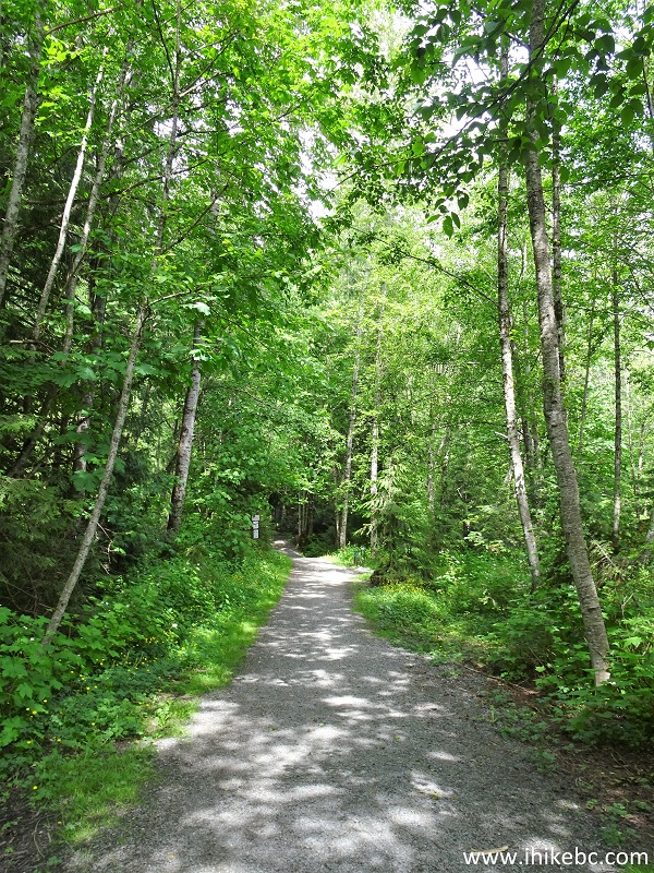
Mount Thom Lookout Loop Trail - Chilliwack Hike
18. Within 65 meters, the first trail split. Keep to the left all the time, and you'll get to the lookout.
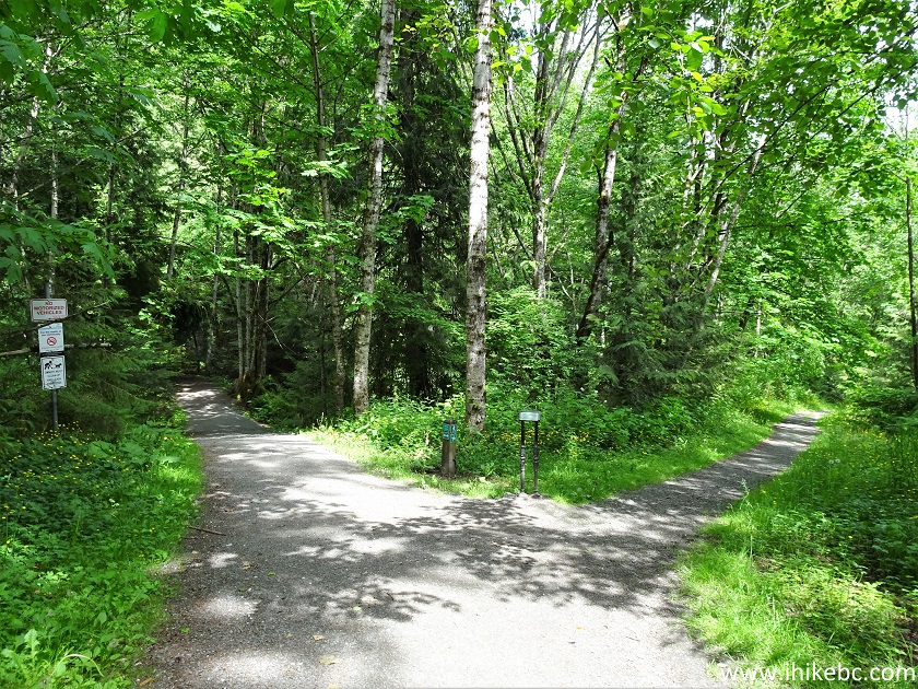
Mount Thom Loop Trail in Chilliwack British Columbia
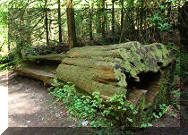
19. A neat stump at 190 meters.
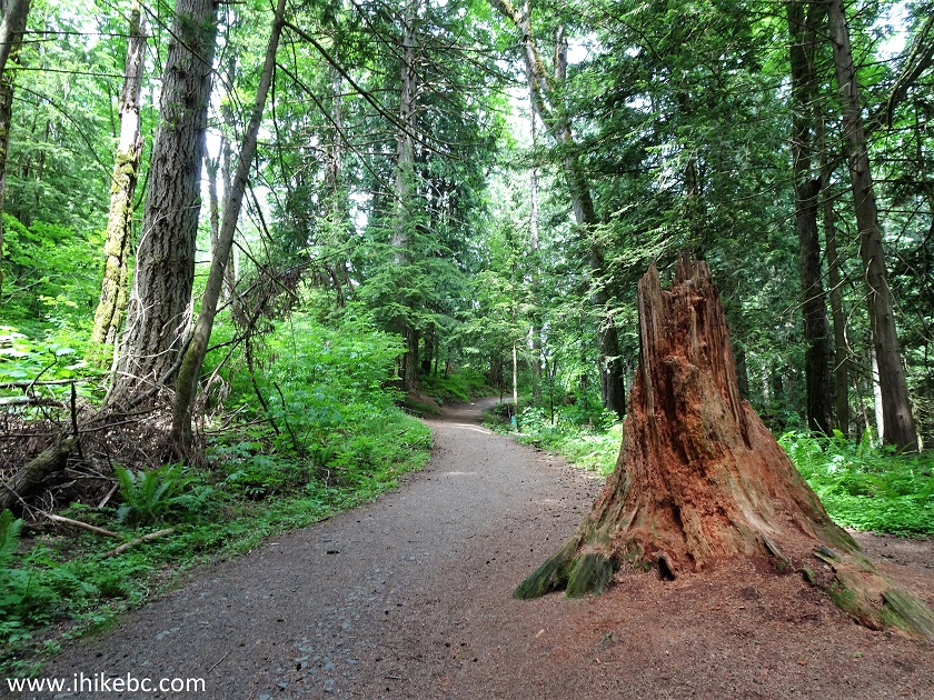
Mount Thom Trail Hike in Chilliwack BC
20-21. The next split arrives at 210 meters. Stay left.
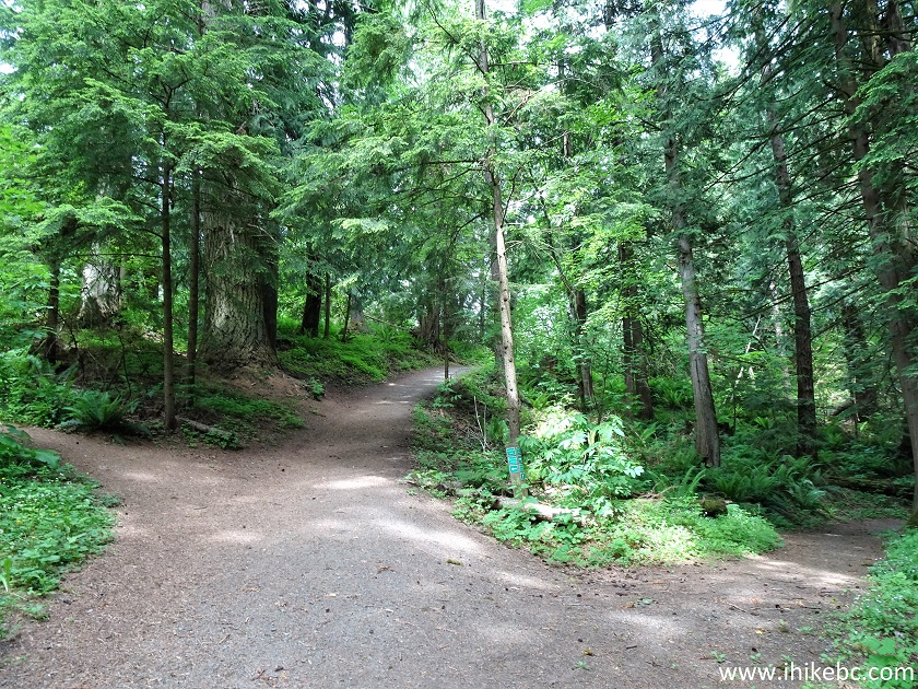
Mount Thom Lookout Hike in Chilliwack British Columbia
Chilliwack Hiking - Mount Thom Lookout Loop Trail
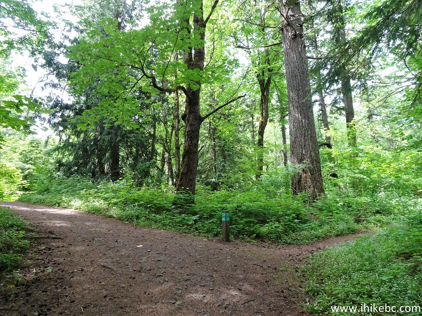
22. At 290 meters, there is a T-junction. Turn left.
Mount Thom Hike in Chilliwack BC
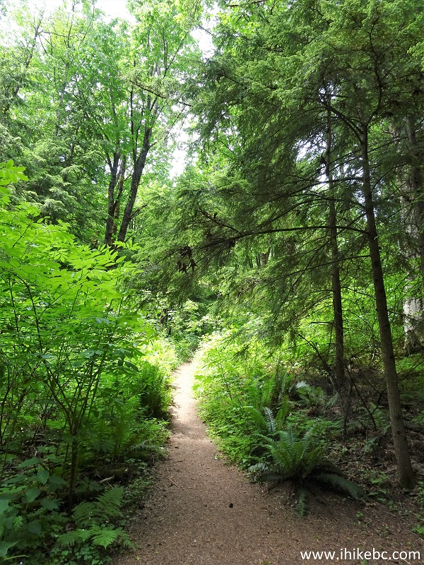
23. Mount Thom Lookout Loop Trail is a pleasant, easy-to-moderately difficult hike. The ground is quite smooth. Many birds live in the forest and make all kinds of pleasant sounds. They also eat bugs, so the bugs are hiding, not biting. Alas, a big group of ravens like Mount Thom too, so they hang out in the area and make all kinds of harsh, unpleasant noises.
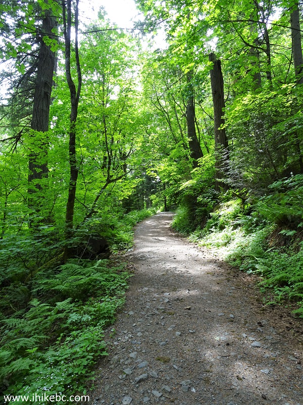
Hiking Mount Thom Lookout Trail in Chilliwack BC Canada
24. At 590 meters from the trailhead, make yet another left turn.
Mount Thom Lookout Loop Trail
25. A neat tree at 680 meters.
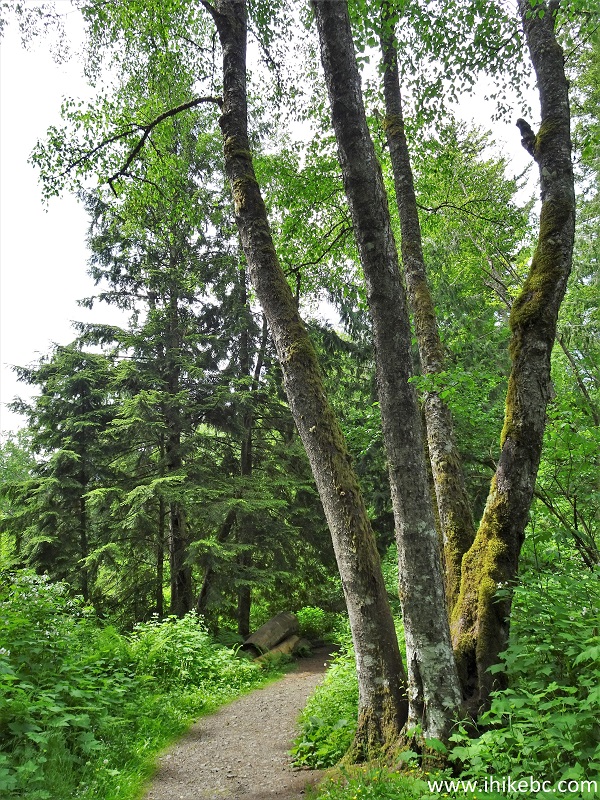
Mount Thom Hiking - Chilliwack British Columbia
26-27. At 900 meters, we are at the Mount Thom Summit and Lookout. Coordinates: N 49⁰06.240' W 121⁰54.760'. Elevation: 474 meters (73 meters elevation gain from the trailhead for an average grade of 8%).

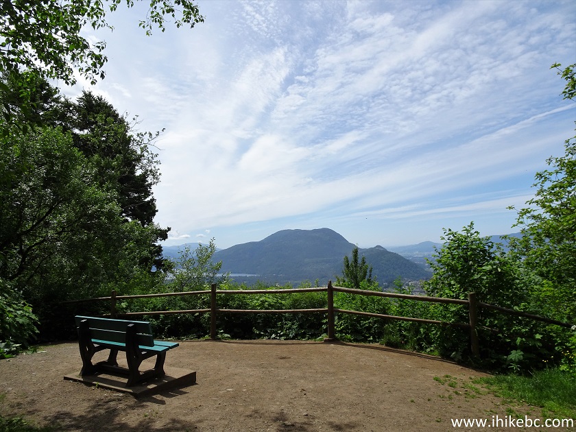
Mount Thom Observation Area
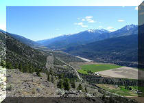
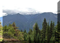
28. The view of the city of Chilliwack, Fraser Valley, and the surrounding mountains is very fine, except the thick plants just behind the fence are growing up and are starting to obstruct the view. We had to stand on the lower cross-bar of the fence to take this photograph.
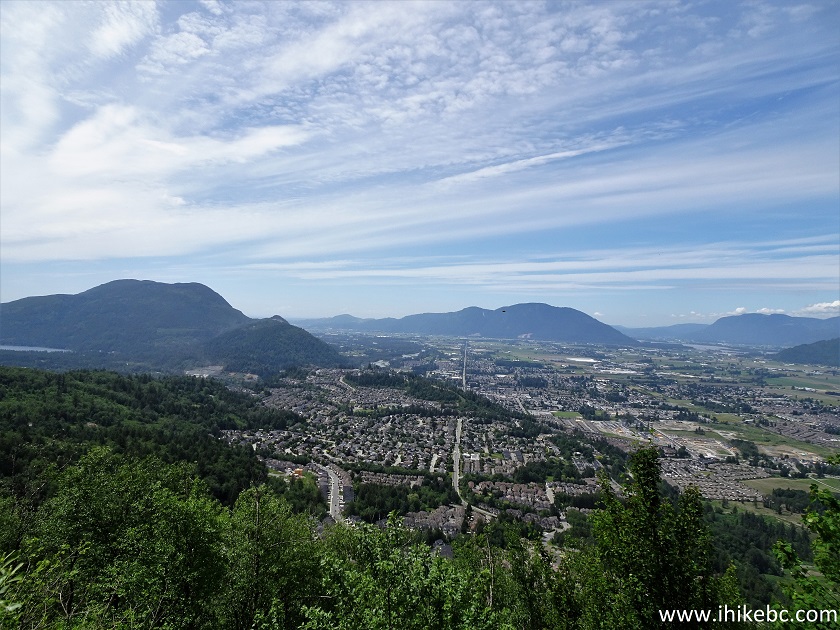
View of the City of Chilliwack from Mount Thom
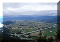
29. Zoomed view of the city of Chilliwack.
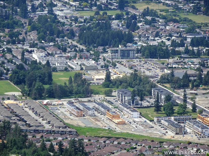
Chilliwack, British Columbia, Canada
30. A butterfly was hanging out by the lookout.
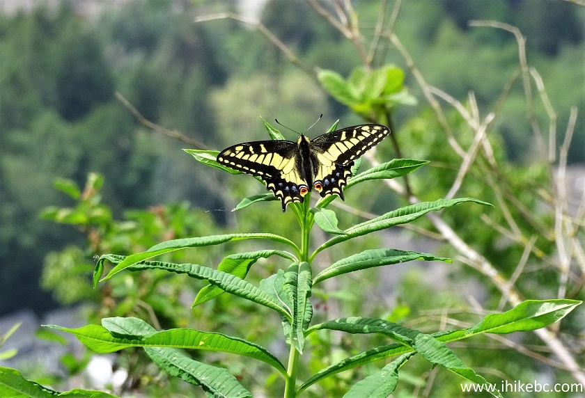
Butterfly on Mount Thom
Here is our video of the views from this location.
More ihikebc videos are on our YouTube Channel.
Then, you can return the same way you came, or continue on the trail, which makes a loop and passes by two more viewpoints shortly after the first one. These other viewpoints also have benches, but the view is even more obstructed, especially at the third one. It takes another kilometer of hiking to complete the loop and return to Churchill Parkway trailhead. Mount Thom Lookout Loop Trail is short and pleasant, despite the noisy ravens, and leads to a fine viewpoint. Recommended.


|
 |
Other Trips in Chilliwack BC Area:
|
|
|
|
|
|
|
|
|
|
|
|
|
|
|
|
|
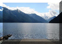
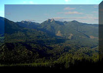
Greendrop Lake Trail
|
|
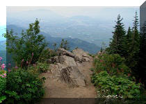
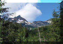
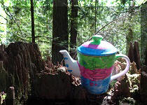
Teapot Hill Trail
|
|
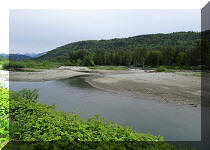
Vedder Rotary Trail
|
|
|
|
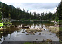
Flora Lake Trail  |

Other Trips:


![]()


![]()
![]()
![]()
ihikebc.com Trip 214 - Mount Thom Lookout Loop Trail (Chilliwack BC)