![]()
![]()
![]()

Trip 078 - March 2-3, 2015 (Monday-Tuesday)
Lost Creek Forest Service Road
Visiting Salsbury Lake, Davis Lake, and McDonald Falls.
Page 2 of 2
Liked: Several natural views, McDonald Falls, beautiful Salsbury Lake.
Of note: Wilderness area, no cell phone signal, logging trucks on the road. This FSR is very popular with recreational shooters, so you are quite likely to hear numerous gunshots during your visit. On top of that, ATVs have access to Davis Lake, so, chances are, you are not going to have a quiet picnic there.
Vancouver, Coast & Mountains Backroad Mapbook (2010 edition) Coordinates for the Beginning of the FSR: Page 3 (Abbotsford) F2.
Related Websites: Davis Lake Provincial Park - BC Parks Official Site, Chilliwack District FSR Conditions.
Other Forest Service Roads Trips: Chilliwack Bench, Chilliwack Foley, Chilliwack Lake, Chuchinka-Colbourne (North of Prince George), Clear Creek (off Harrison East), Harrison East, Harrison East Second Trip, Jones Lake (near Hope), Mamquam River (by Squamish), Nahatlatch (near Boston Bar), Parsnip West (near Mackenzie), Scuzzy (by Boston Bar), Shovel Creek (off Harrison East), Sowaqua Creek (by Hope), Squamish River Main, Squamish River Ashlu, Squamish River E-Main, Squamish River FSR Washout, Windfall Creek (by Tumbler Ridge).
Follow @ihikebc Tweet
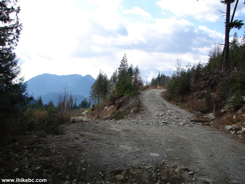
21. Then, we decided to continue along Lost Creek Forest Service Road, and tried to find Kenyon Lake, also on the left side.
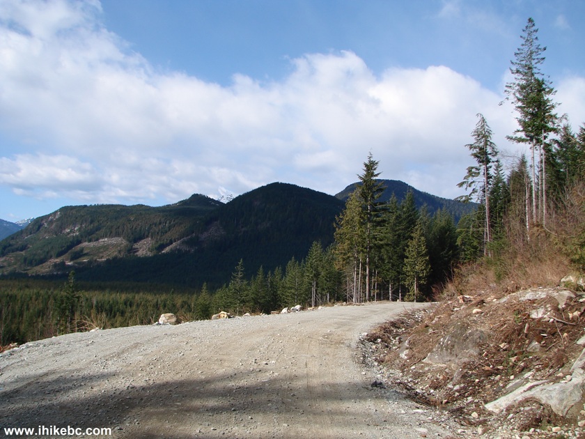
Photo of Lost Creek FSR BC Canada
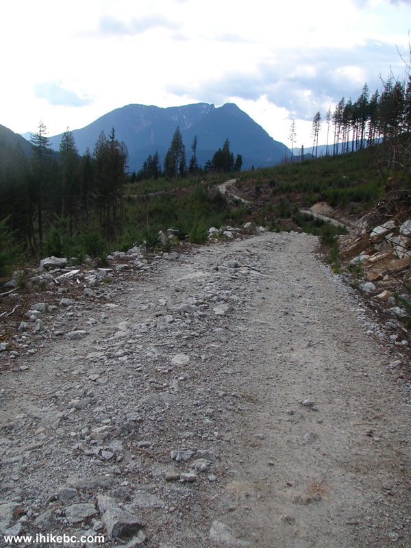
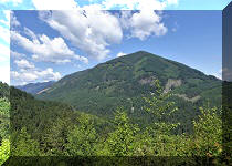
22. Good valley view just past the spot seen in the photo above.
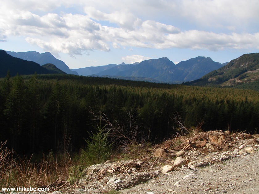
Valley Seen off Lost Creek FSR British Columbia Canada
23. One more split, and we took the left road this time too. There were other splits as well, and there were quite a few spur roads too. The key is to stay on the main FSR, and, when it would split, take the left road (if you want to go exactly where we ended up, of course). But, this is a fairly confusing road, so be careful not to get lost - it's called LOST Creek for a reason :)
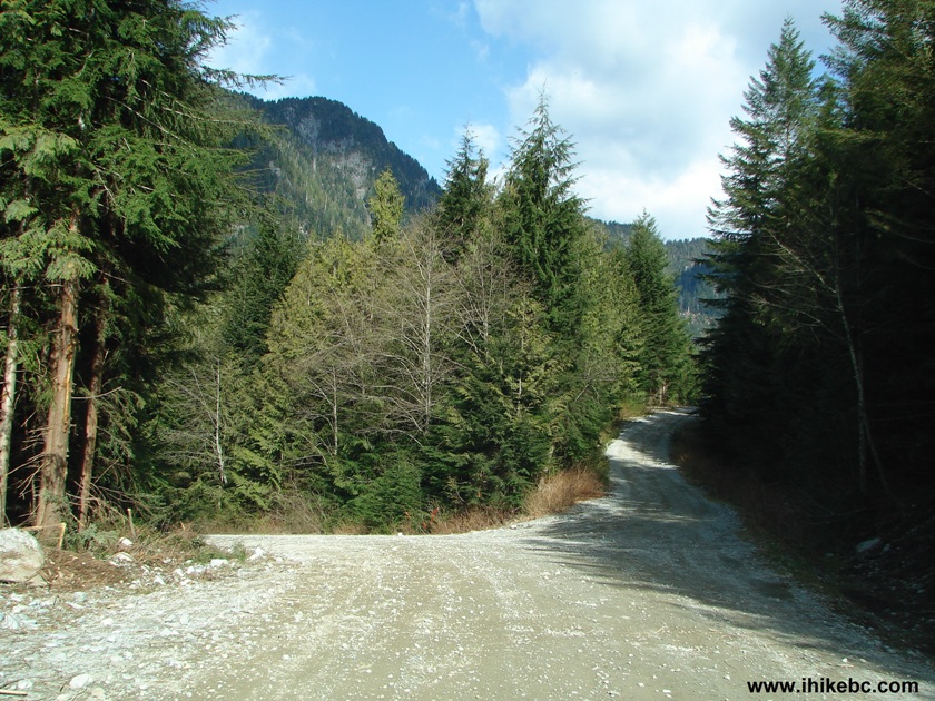
Lost Creek Forest Service Road BC Canada
24. 17.8 kilometers after the start of the FSR, 2WD road ends right after this split. Coordinates: N 49⁰23.441' W 122⁰14.106'. There is a good parking spot just behind of where we took this photo.
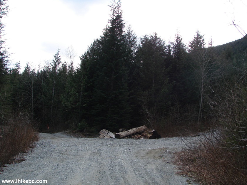
End of 2WD Road Lost Creek FSR BC Canada
25. So, we started hiking by taking the left road once again. After about 30 minutes, there was another split.
Lost Creek FSR Province of BC Canada
26. Here we are taking the left road one more time.
Lost Creek FSR BC Canada
27. Ten minutes later, there is a lake view. Coordinates: N 49⁰22.609' W 122⁰15.234'. Except it's Stave Lake, not Kenyon, and there was no apparent way of getting down to the Stave lakeshore from here. Though, it's possible to do so from a spur road somewhere along Lost Creek FSR, but way before this point. So, we turned around and went back.
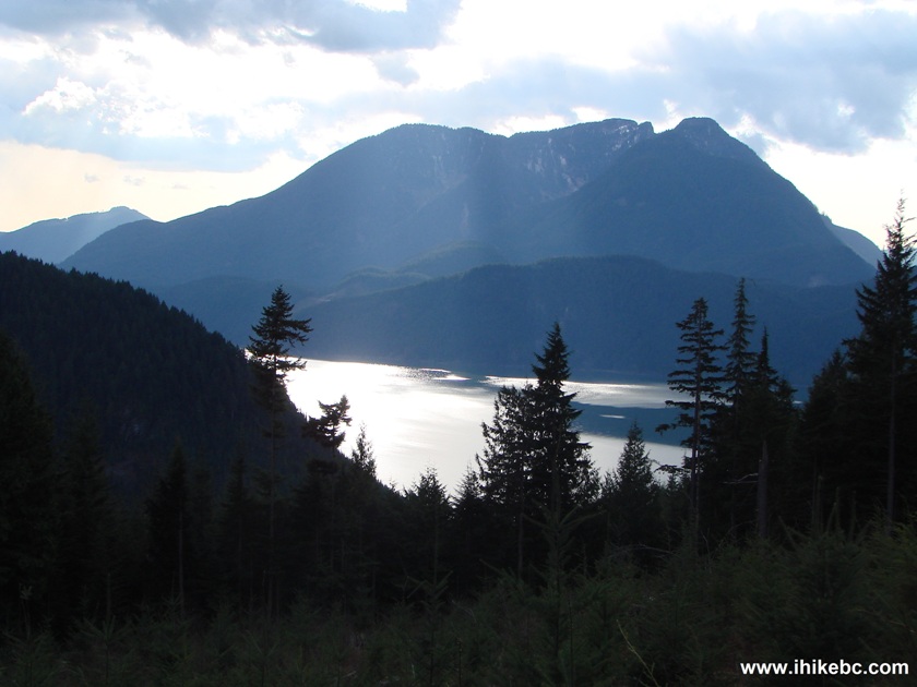
Stave Lake Seen From Lost Creek FSR British Columbia Canada
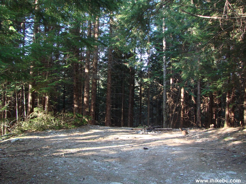
28. While driving back, we discovered a neat camping spot near Salsbury Lake, just a few hundred feet before the lake access point seen in photo #14.
Access Point to
Camping Near Salsbury Lake
29. The coordinates for this spot are: N 49⁰21.539' W 122⁰12.916'. You could easily fit several vehicles here, and it's far enough along the FSR that you just might avoid being bothered by all the gunfire.
Camping Spot Near Salsbury Lake BC Canada
30. View to the right.
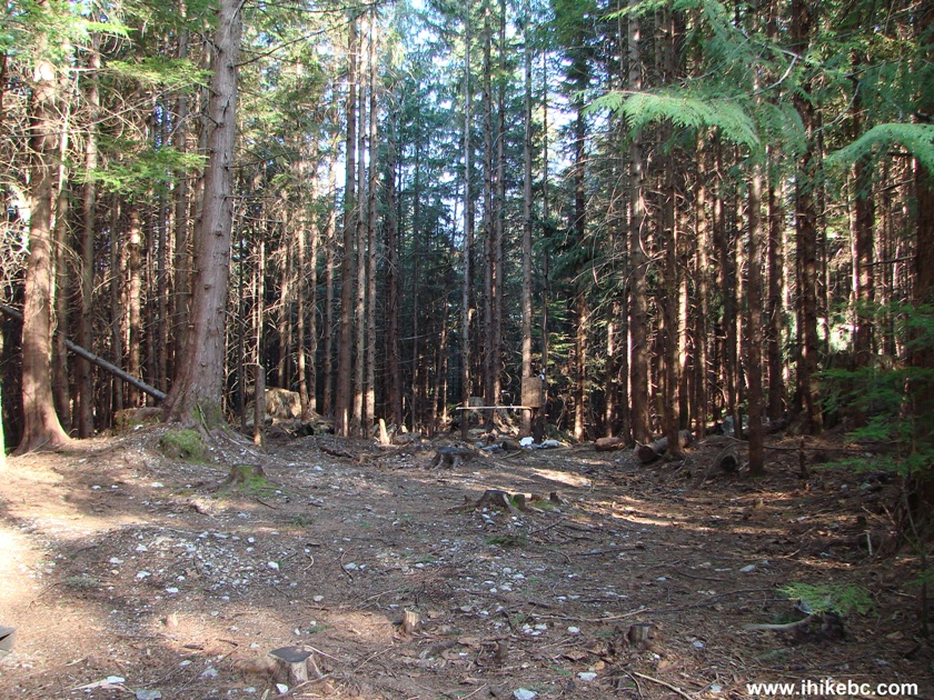
Camping Area by Salsbury Lake British Columbia Canada
31. From this camping spot, it's about 80 meters to the lake.
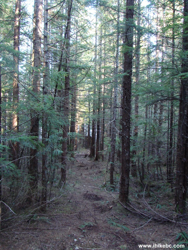
Path to Salsbury Lake
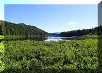
32. And the lake looks almost just as good as from the spot we have found the day before.

Salsbury Lake BC Canada
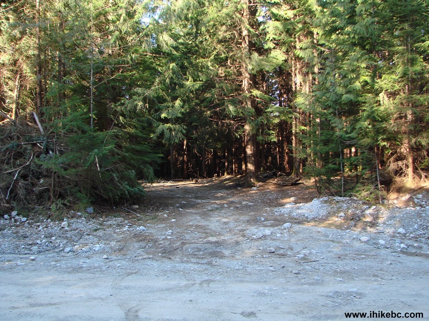
33. We spent the night at the camping spot, and the next morning continued in vain to search for the elusive motorized access to Davis Lake. We started to drive out, and stopped by the bridge (also seen in photo #7) located at the 2km point of the FSR. The Backroad Mapbook showed McDonald Falls nearby, but, in October, we could not find a path. Lo and behold, this time the path was very obvious - right by the bridge.
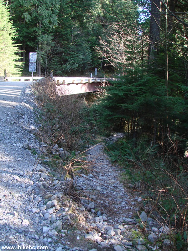
Path to McDonald Falls Near Lost Creek FSR
34. We started going down through some trees.
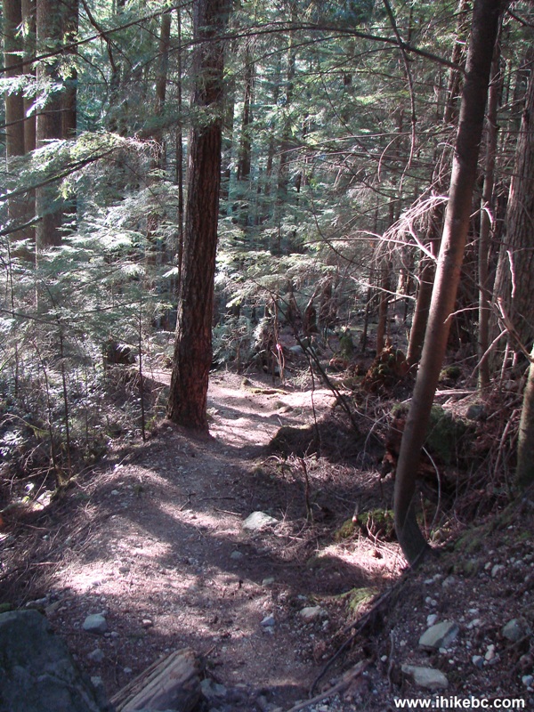
Path to McDonald Falls BC Canada
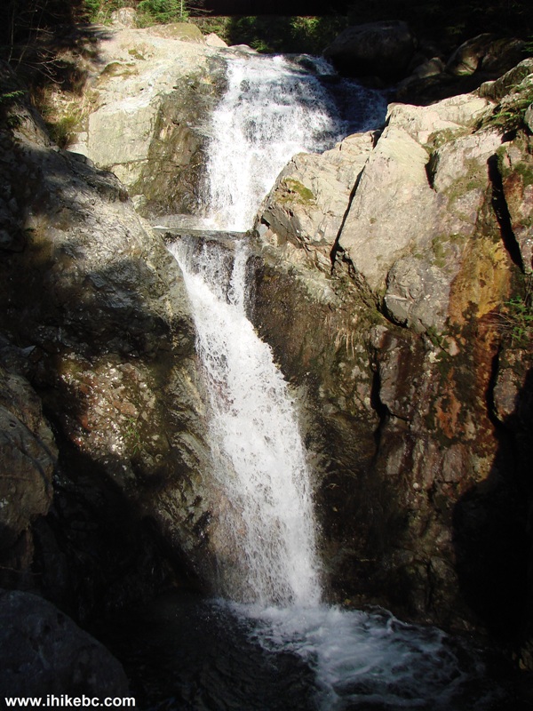
35. And, in a few minutes, found a neat waterfall. Is this McDonald Falls? Kind of small...
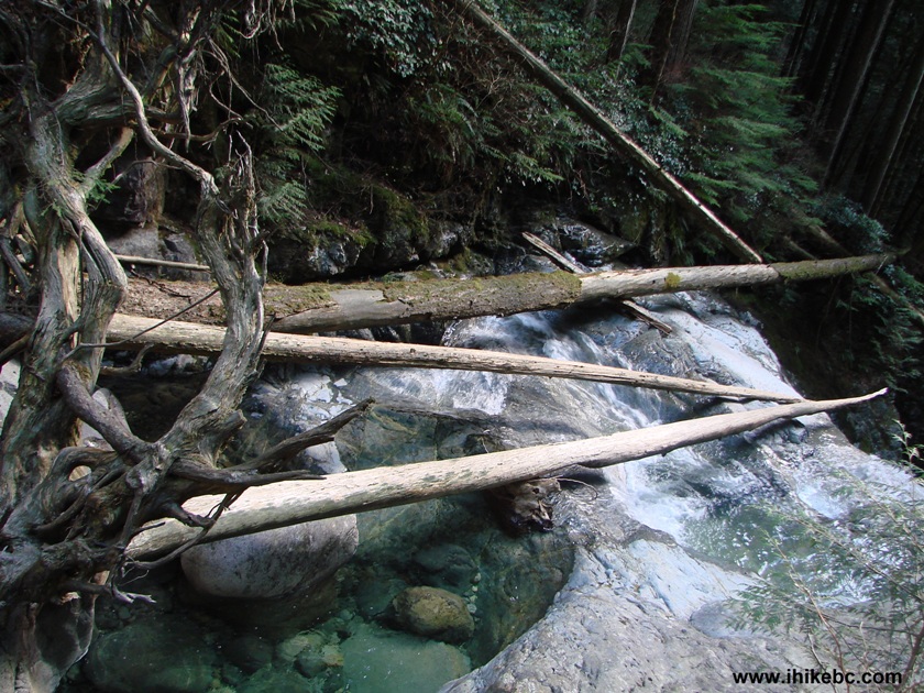
36. The path kept going down, so we followed it and found a very interesting horizontal ex-tree.
37. And then...
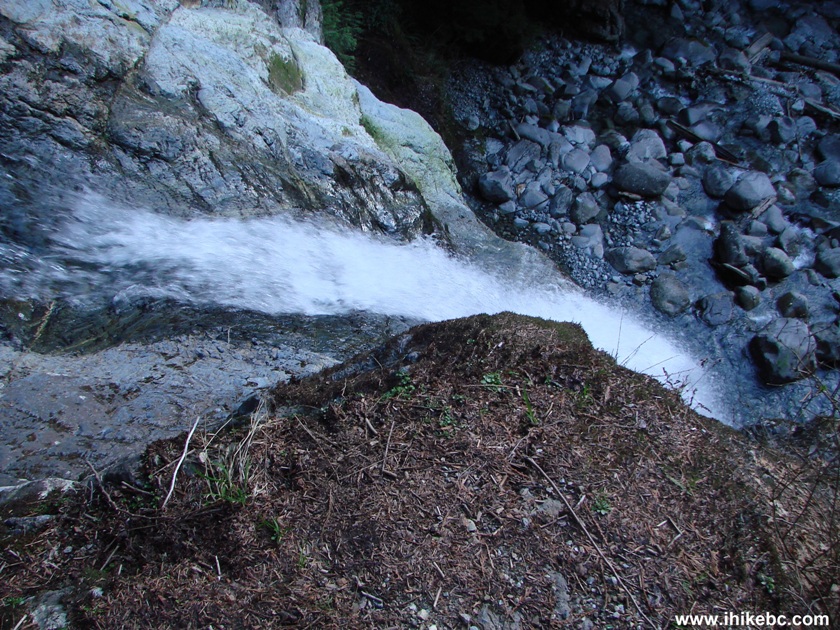
38. McDonald Falls!
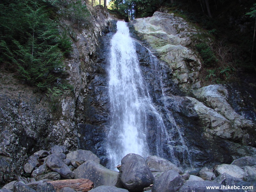
McDonald Falls by Lost Creek FSR British Columbia Canada
Here is Our Video of McDonald Falls:
More ihikebc videos are on our YouTube Channel.
39. However, this was not all. The path kept going further, and a few more minutes later we have found...
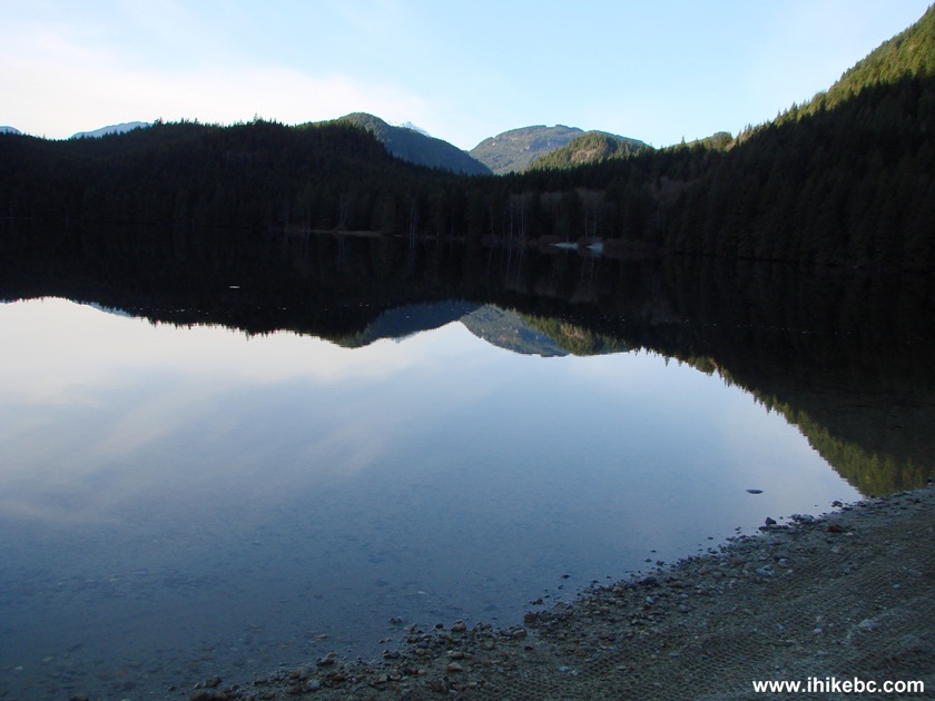
Davis Lake BC Canada
...yes, Davis Lake. There were loud gunfire echoes and just as loud roars of ATV motors, and the lake looked rather gloomy in the evening, but that's the beauty of exploring BC's backcountry - you just never know what you will find. BC Parks' Official Website for Davis Lake Provincial Park indicates that access to the lake is walk-in only, but ATVs found a way. Lost Creek FSR is recommended for gun enthusiasts and for the view of Salsbury Lake (under the right lighting and wind conditions).


|
 |
Other Trips in Mission BC Area:
|
|
|
|
|
|
|
|
|
|
Other Trips:


![]()


![]()
![]()
![]()
Follow @ihikebc Tweet
ihikebc.com Trip 078 - Lost Creek Forest Service Road Trip (near Mission BC) Page 2 of 2