![]()
![]()
![]()

Trip 218 - June 22, 2021 (Tuesday)
Rolley Lake Provincial Park Visit
Near Mission BC
Liked: An easy trail around the lake through a pleasant forest. Shade in the forest. Few bugs. Several good lake views. A fairly large beach.
Of Note: The park is very popular. No lifeguards on duty in BC Provincial Parks.
Vancouver, Coast & Mountains Backroad Mapbook (5th edition) Coordinates: Page 3 (Abbotsford) C2.
Related Website: Rolley Lake Provincial Park - BC Parks Official Website.
Rolley Lake Provincial Park is located near the town of Mission BC, and features a large campground, a decent-size lake with a (somewhat) sandy beach, and a 3 km-long trail around the lake through a fine forest. There is free parking for over 100 vehicles, but it was quite busy even on a weekday, as families with children enjoyed a roped-off swimming area, and a beach made of sand mixed with small stones.
1. The entrance to Rolley Lake Provincial Park is at the end of Bell Street in Mission. Bell Street, in turn, starts off Dewdney Trunk Road, 2 kilometers West of Burma Street / Florence Lake FSR, covered in the previous trip report. Here we are Eastbound on Dewdney Trunk Road with Maple Ridge behind us, and Mission ahead, getting ready to make a left turn onto Bell Street.

Dewdney Trunk Road at Bell Street near Mission BC
2. Now on Bell Street.
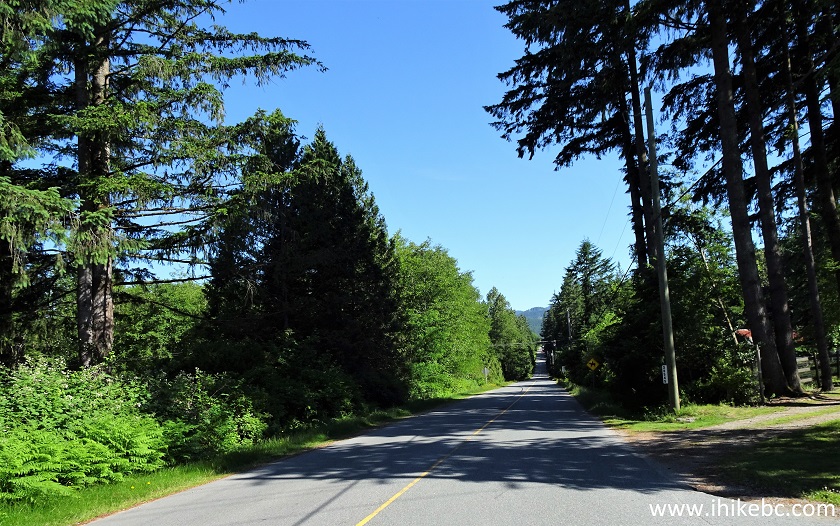
Bell Street near Mission British Columbia
3. 2.3 kilometers after it starts, Bell Street ends at the entrance to Rolley Lake Provincial Park.
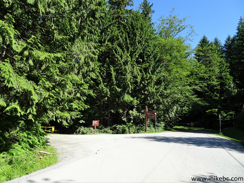
Bell Street at Rolley Lake Provincial Park Entrance
4. A map of Rolley Lake Provincial Park. The campground is quite nice. Rolley Falls Trail, covered in the next trip report, starts between camping spots 27 and 28. There are also several short connector trails linking the campground with Rolley Lake Trail.
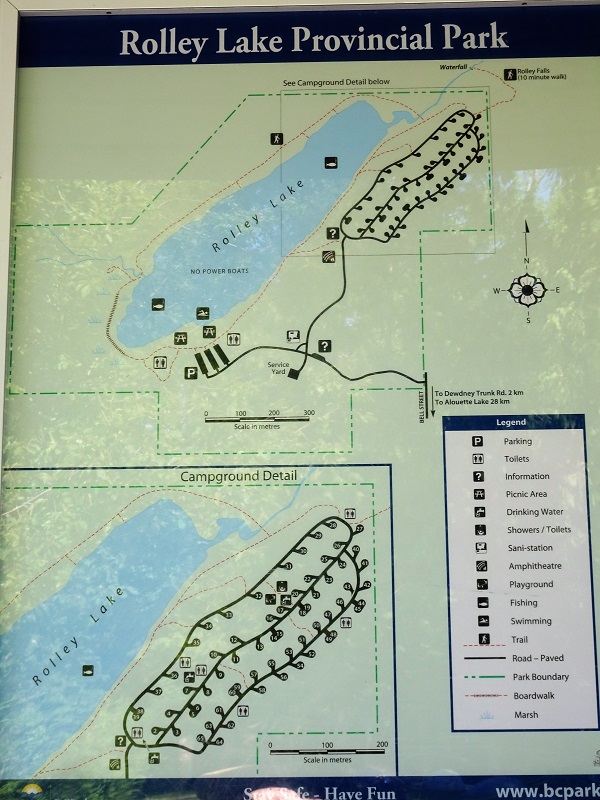
Rolley Falls Provincial Park Map
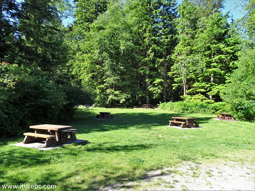
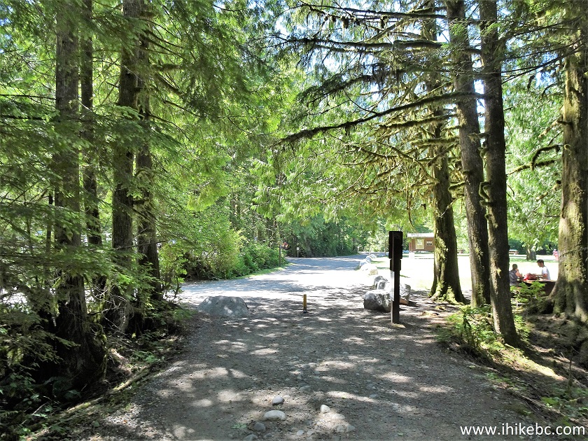
5. In addition to the campground, there is also a day use area with three parking lots separated by rows of trees. Here is one such parking lot.
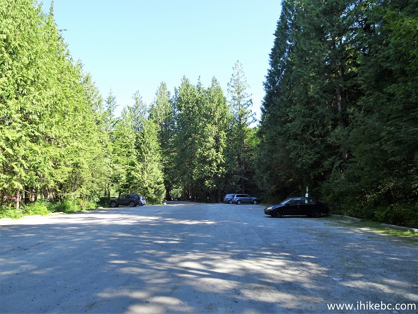
Rolley Falls Provincial Park Parking Lot
6. First, we checked out the recreation area near the lake. It was not very busy at first, but was quite packed when we returned a few hours later, after hiking Rolley Lake and Rolley Falls Trails. Weekends during the busy season it's going to be packed here.
Rolley Falls Provincial Park British Columbia Canada
7. Here is the beach with a roped-off swimming area. Motor boats are prohibited on Rolley Lake, so there is no engine noise bothering the chilling crowd.
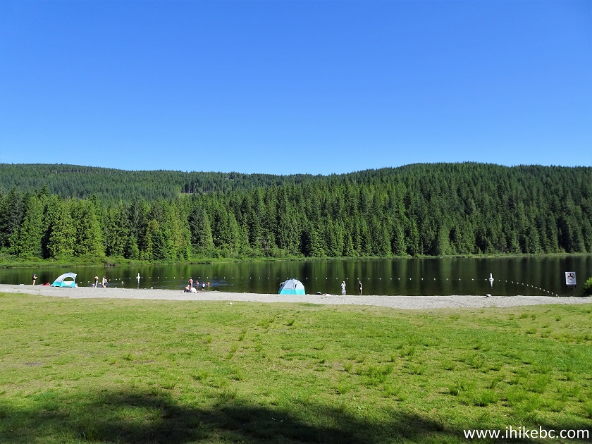
Rolley Lake Provincial Park British Columbia Canada
8. The beach is made of sand mixed with small stones.
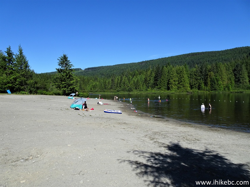
Rolley Lake Beach
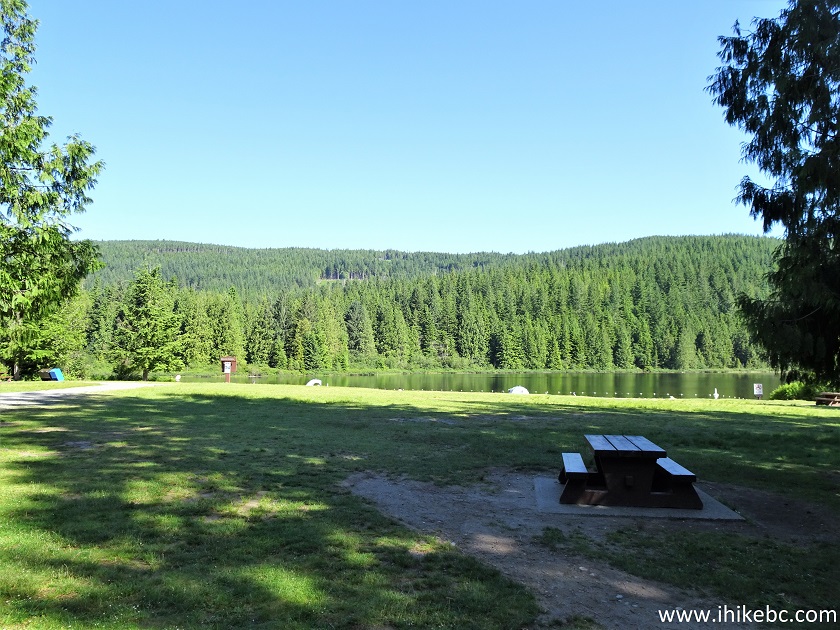
9. An adjacent picnic area.
Rolley Lake Provincial Park Picnic Area
10. A large green spot by the beach.
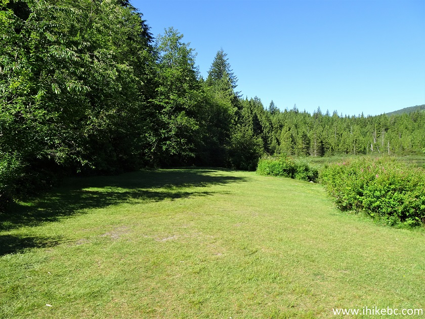
Rolley Lake Provincial Park
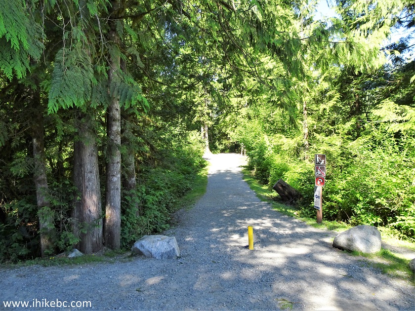
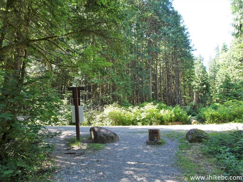
11. Rolley Lake Trail starts and ends at both ends of the parking lots, at the points closest to the beach. Coordinates:
N 49⁰14.513' W 122⁰23.373'. Elevation: 208 meters. Cycling is not permitted. We hiked clockwise today.
Rolley Lake Hike Trailhead
12. In 165 meters (all distances are based on a GPS odometer and are approximate), there is a split, with Kanaka Creek Trail on the left.
Rolley Lake Trail at Kanaka Creek Trail
13. Rolley Lake Trail at 230 meters. The boardwalk is 240 meters long.
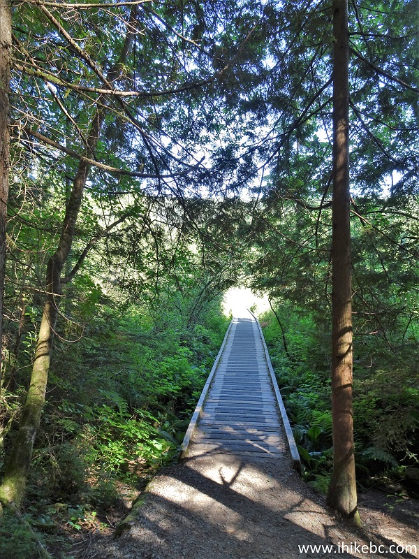
Mission Hiking - Rolley Lake Trail
14. The long boardwalk.
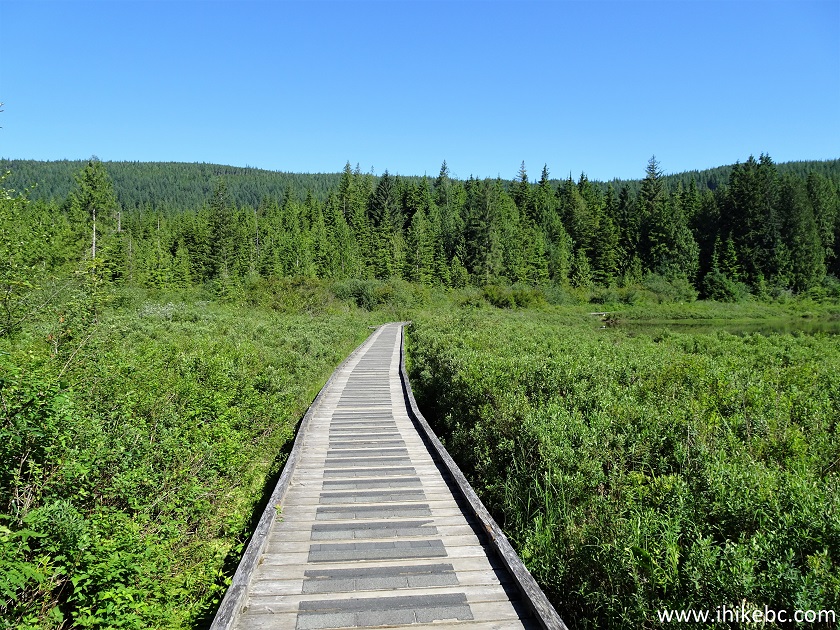
Rolley Lake Trail Hike in Mission Area
15. Rolley Lake seen from the boardwalk.
Rolley Lake
16. Rolley Lake Trail at 470 meters, where the long boardwalk ends.
Rolley Lake Trail in Mission BC Area
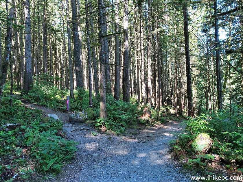
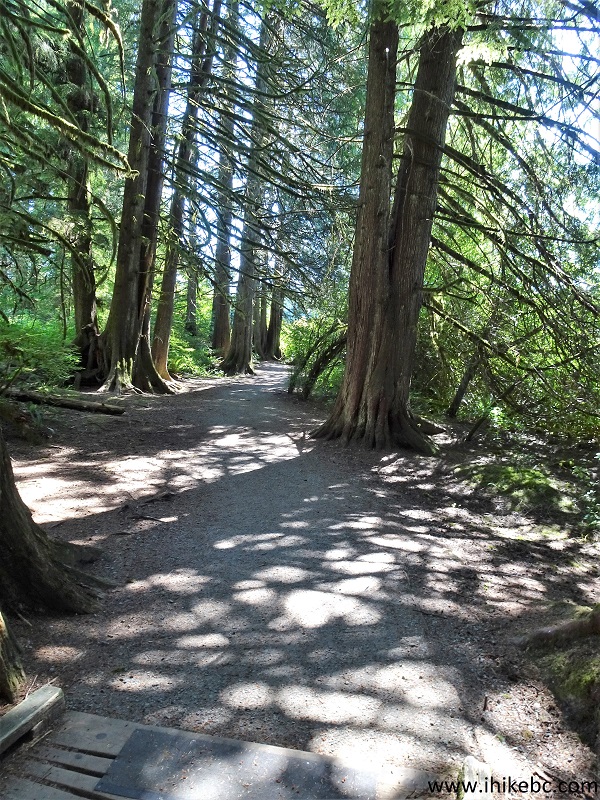
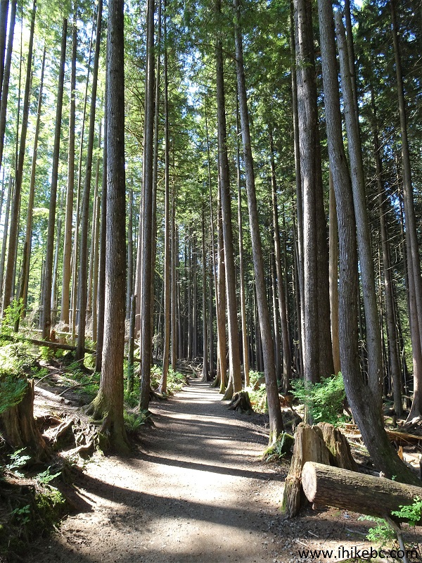
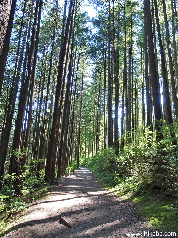
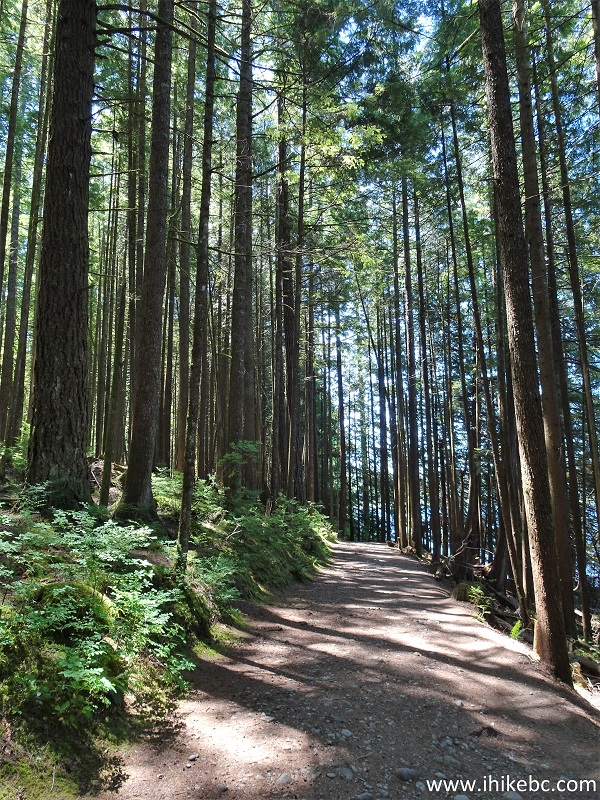
17. Now at just over 1 km. It's a wide path, with little elevation change, with some rocks and roots, lots of shade, and very few bugs. Quite a pleasant hike.
Rolley Lake Trail
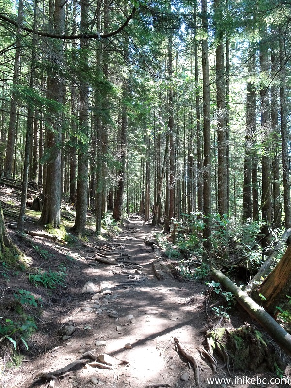
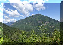
18. A fine forest view on the left side at 1.45 km.
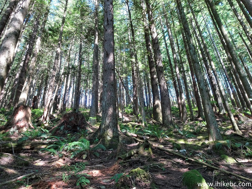
Rolley Lake Provincial Park
19. Rolley Lake Trail at 1.75 km.
Mission Hiking - Rolley Lake Trail
20. At 1.92 km, there is a bridge.
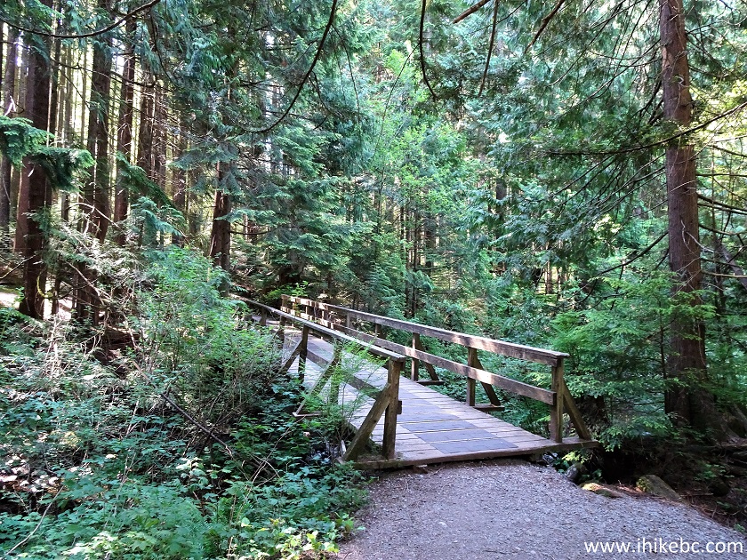
Rolley Lake Trail in Rolley Lake Provincial Park British Columbia Canada
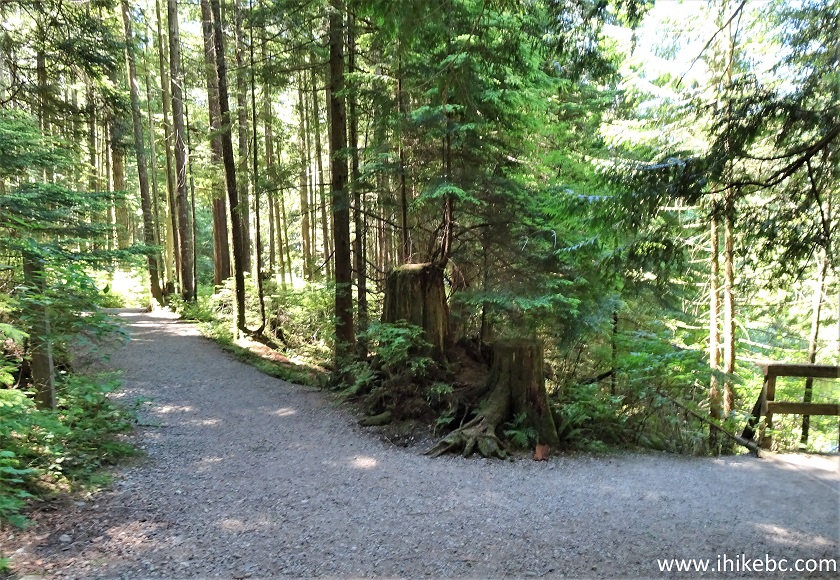
21. Right after the bridge, there is a split. To the right is a continuation of Rolley Lake Trail (900 meters to the end at the parking lots). To the left is a connector trail to the campground (220 meters) and Rolley Falls Trail.
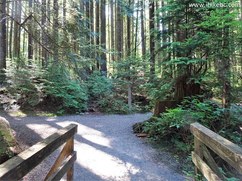
Rolley Lake Hike
22. First, we went to the campground, where Rolley Falls trailhead is located. Thus, it is possible to make it a double loop hike - start Rolley Lake Trail, get to this split, take the connector trail to Rolley Falls trailhead, hike that loop, return to this split, and complete Rolley Lake Trail.
Rolley Lake Provincial Park near Mission BC
23. 220 meters after making a left turn after the bridge, we have reached the Rolley Lake Campground.
Rolley Lake Provincial Park
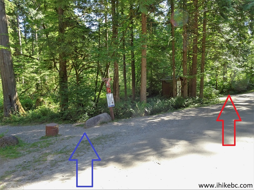
24. Make a left turn, and Rolley Falls trailhead is 30 meters away. The blue arrow shows where we came from (end of the connector trail), and the red arrow points at the Rolley Falls trailhead. This location is between camping spots #27 and #28.
Rolley Lake Campground
25. Having hiked Rolley Falls Trail, we returned to the bridge, and are now hiking the rest of Rolley Lake Trail. The bridge from photo #21 is now seen on the right side.
Rolley Lake Trail
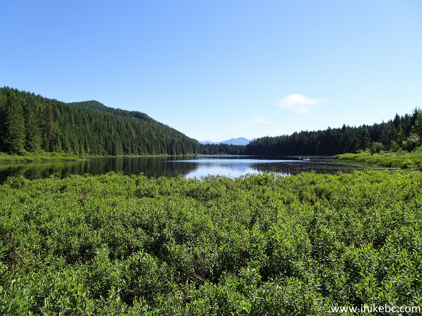
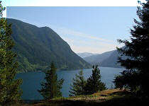
26. At 110 meters past the bridge, there is a decent lake view.
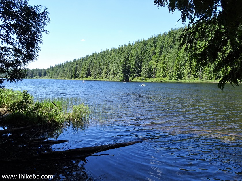
Rolley Lake near Mission BC
27. Rolley Lake is popular with fishers, paddle boarders, and kayakers.
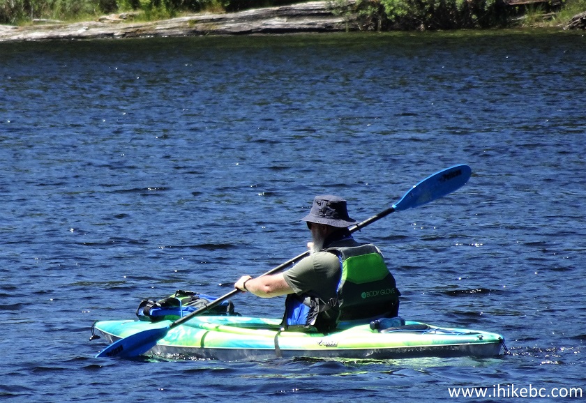
Kayaker on Rolley Lake
28. Now at 230 meters past the bridge.
Rolley Lake Hiking Trail
29. Rolley Lake Trail ends 920 meters after the bridge. Our starting point is straight ahead, just past the parking lots on the left side.
Rolley Lake Provincial Park Province of BC Canada
Rolley Lake Provincial Park offers many recreational opportunities, including a pleasant trail around the lake. Recommended.


|
 |
Other Trips in Mission BC Area:
|
|
|
|
|
|
|
|
|
|
Other Trips:


![]()


![]()
![]()
![]()
ihikebc.com Trip 218 - Rolley Lake Provincial Park Visit (near Mission BC)