![]()
![]()
![]()

Trip 114 - August 1, 2016 (Monday)
Mount Clifford Trail Hike
Near Tumbler Ridge
BC
Trailhead Location: Northeastern British Columbia, approximately 70 kilometers Southeast of the town of Tumbler Ridge off Highway 52E.
Liked: Mountain views, no bugs, one of the shortest and easiest paths to the sub-alpine (if you have a high-clearance vehicle). The access road is quite smooth until the last 3 kilometers, when you do need a high-clearance vehicle due to cross-ditches.
Of note: Much of the trail is shared with ATVs, which can make it to the sub-alpine too. It is better to hike this trail in the first half of the day, if it is sunny, for the best mountain views without the glare. It is quite windy on top of the mountain.
Northern BC Backroad Mapbook (3rd edition) Trailhead Coordinates: Page 44 (Tumbler Ridge) F6.
1. To get to Mount Clifford trailhead, drive on Highway 52E (don't confuse it with simply Highway 52, which also goes from/to Tumbler Ridge) and turn onto Old Kinuseo Falls Road (it was called Kinuseo First in our automotive GPS). In the photo of the map which used to stand by the old information centre in Tumbler Ridge, we marked the turnoff from Highway 52E with a yellow arrow, and the trail itself with a red arrow.
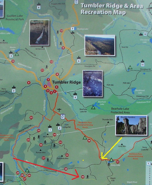
Map of Tumbler Ridge area
2. Here is the turnoff from Highway 52E onto Old Kinuseo Falls Road ("Kinuseo First" in our GPS). It's about 50 kilometers from Tumbler Ridge at this point. Zero your odometer after the turn.
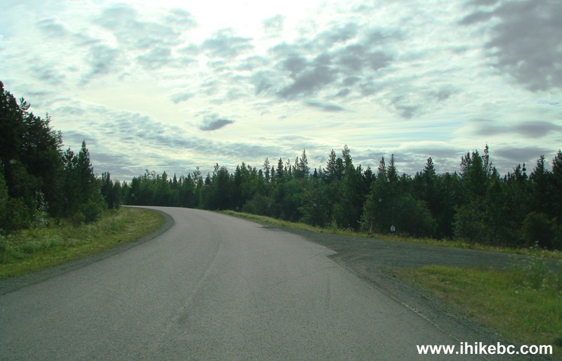
BC Highway 52E at Old Kinuseo Falls Road
3. Turn right at the 6.4 km mark (mileage marker 6 is posted nearby).
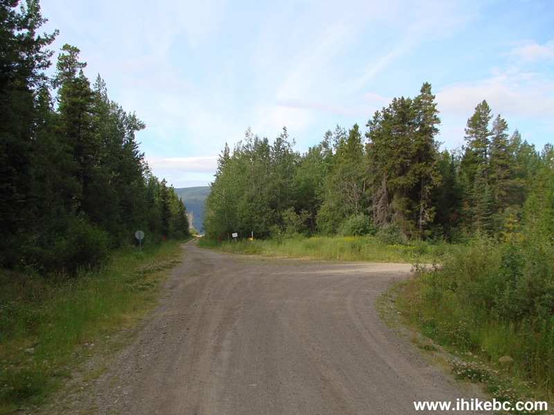
Old Kinuseo Falls (Kinuseo First) Road near Tumbler Ridge British
Columbia Canada
4. Turn left at the 9.6 km mark (mileage marker 9 is posted nearby). Going straight here would lead to Kinuseo Falls via Murray River FSR, if the road conditions would allow for that.
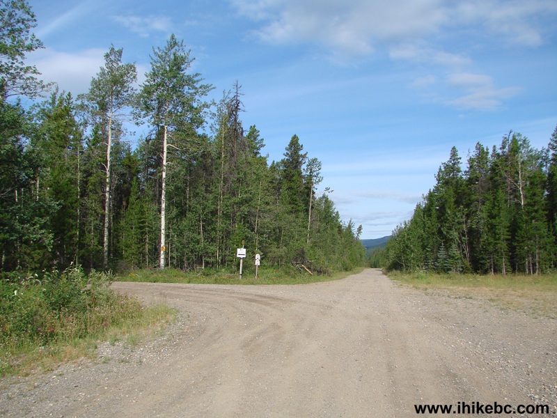
Mount Clifford access road split with Old Kinuseo Falls Road
5. If you have a high-clearance vehicle (even a 2WD), turn right at the 17.3 km mark (mileage marker 17 is posted nearby). Otherwise, park here, and hike up for about 3 kilometers, as there are twelve cross ditches on the final stretch of the access road. Coordinates for the turnoff: N 54⁰45.522' W 120⁰41.999'. Elevation: 1,404 meters.
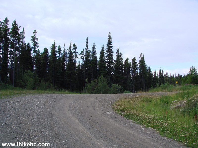
6. Finally, 20.1 km after turning from Highway 52E, we have reached an abandoned natural gas pad, which now serves as a huge parking area with good mountain views. Coordinates: N 54⁰45.448' W 120⁰44.462'. Elevation: 1,626 meters. Only ATVs and, possibly, small high-clearance 4x4 vehicles might make it past this point. The continuation of the trail is seen on the middle-right side of the photo below.
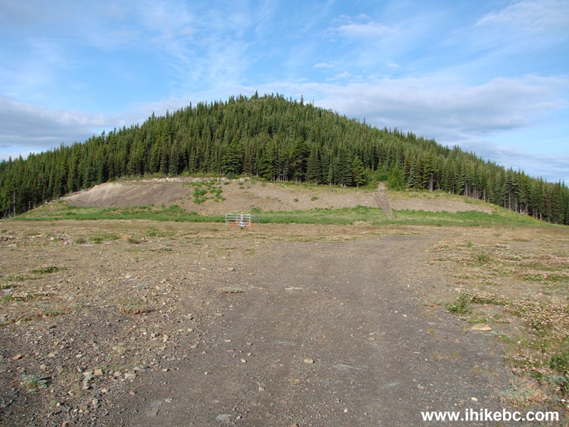
Parking area for Mount Clifford trail near Tumbler Ridge BC Canada
7. Here is that continuation of the trail.
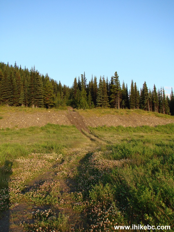
Tumbler Ridge Hike -
Mount Clifford Trail
8. Hiking time.
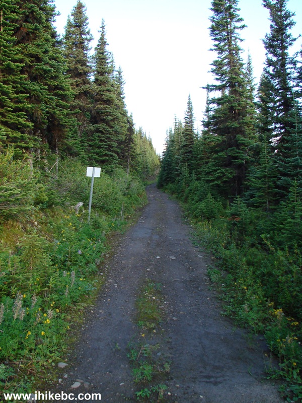
Mount Clifford Trail - Tumbler Ridge Trail British Columbia
9. Soon, it's time to make a left turn where the flagging tape is seen on a tree. ATVs turn here too, though be aware that it's very narrow there.
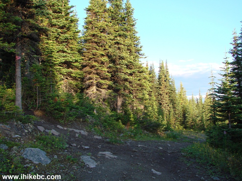
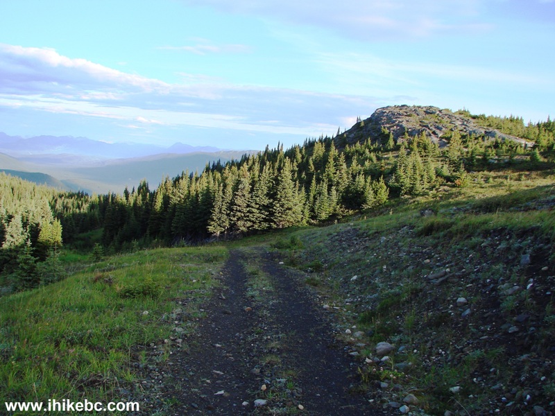
10. The view after the left turn.

Tumbler Ridge Hiking - Mount Clifford Trail
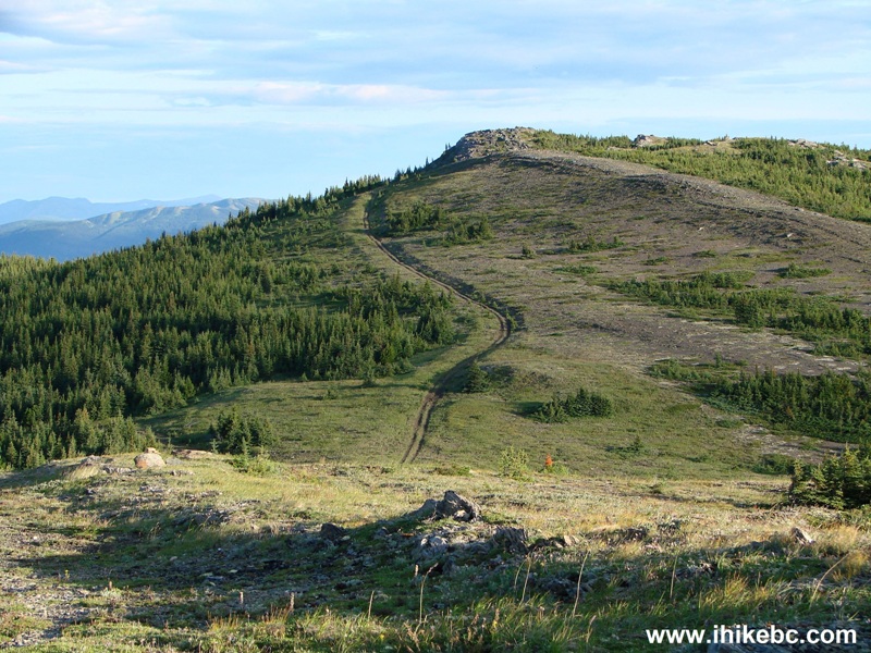
11. In very little time, we are in the sub-alpine, going to the right.
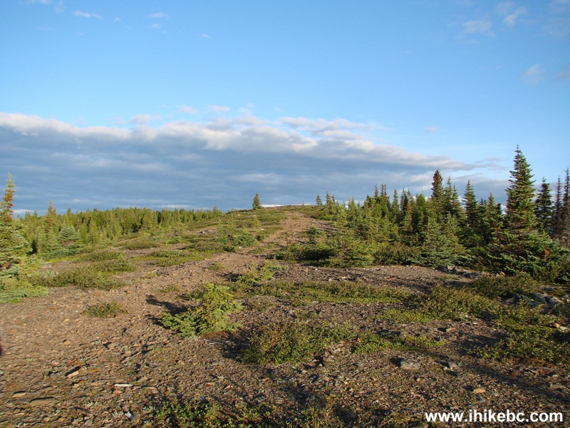
Mount Clifford Trail in Tumbler Ridge Area in Northeastern British Columbia Canada
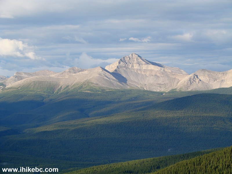
12. Good mountain views appear on the left side. Hiking in the first half of the day when the sun is out assures quality illumination of the mountains.
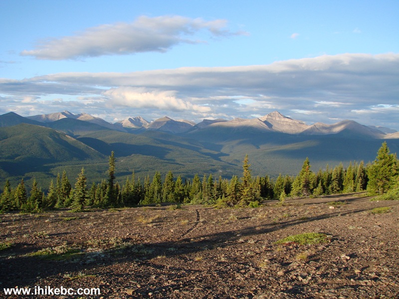
View from Mount Clifford Hike in Tumbler Ridge Area BC
13. Zooming in.
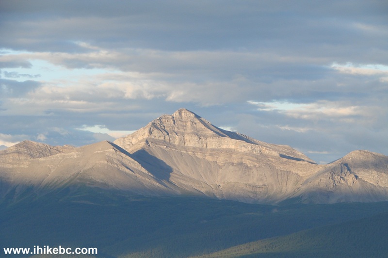
Tumbler Ridge Hiking
14. It's an easy trail, with several minor hills to conquer.
BC Trail
15. ATV tracks show the way.
Mount Clifford Trail - British Columbia Hike Canada
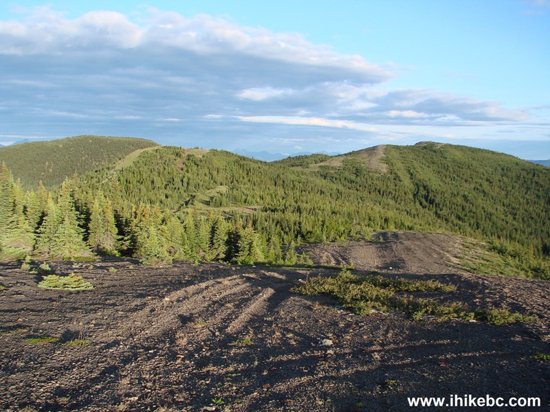
16. 45 minutes after starting the hike at the gas pad, the top of Mount Clifford is in full view.
Hike BC
17. ATVs won't make it to the top, but it's a short and easy hike.
Mount Clifford near Tumbler Ridge - Hiking in BC Canada
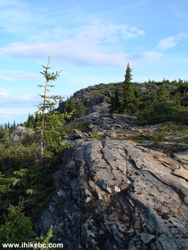
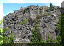
18. There are several neat stone formations there too.
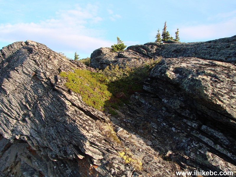
Mount Clifford - Canada Hiking
19. And here is the top of Mount Clifford. Coordinates: N 54⁰45.722' W 120⁰46'.245'. Elevation: 1,735 meters.
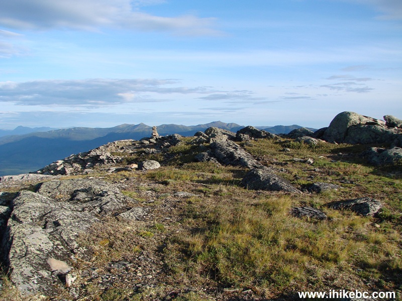
The top of Mount Clifford near Tumbler Ridge in Northeastern British
Columbia Canada
20. An inukshuk on top of the mountain.
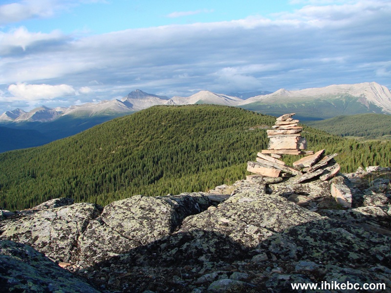
Inukshuk on top of Mount Clifford
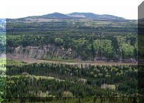
21. Good mountain views to the left. To the right is a big valley, though the glare from the sun prevented full appreciation of its vastness.
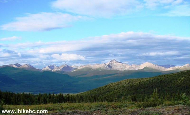
View from the top of Mount Clifford near Tumbler Ridge BC Canada
22. Zooming in.
British Columbia Hiking
23. One more.
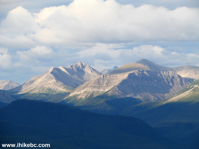
Hike in British Columbia
Here is the view from the top of Mount Clifford:
More ihikebc videos are on our YouTube Channel.
It took less than an hour of hiking to reach the top of Mount Clifford. Considering how short this hike is, the views are definitely worth the effort.


|
 |
Other Trips in Tumbler Ridge BC Area:
|
|
|
|
|
|
|
|
|
|
|
|
|
|
|
|
|
Bergeron
Cliffs Hike
|
 |
Stone Corral Trail  |
|
Windfall Lake Trail
|
|
Bootski Lake Trail |
|
Murray Canyon
Overlook
|
|
Quality Canyon Trail  |


![]()
![]()
![]()
ihikebc.com Trip 114 - Mount Clifford Trail Hike (near Tumbler Ridge BC)