Trip 325 - September 20, 2024 (Friday)
Seed Peak Trail Hike
Near Squamish BC
Page 2 of 3
Liked: Fine mountain and valley views, a neat tarn in the Seed Peak bowl, November Lake, no bugs.
Vancouver, Coast & Mountains Backroad Mapbook (2019 edition) Trailhead Coordinates:
Page 12 (Pinecone Burke Provincial Park) A1. Follow @ihikebc TweetSeed Peak Trail starts off the 33.1 km mark of Mamquam River FSR near Squamish BC. It shares the trailhead with Mount Gilliespie Trail, and the two trails go their separate ways 2.5 km later. Seed Peak Trail then continues for 250 meters to the alpine, where another kilometer or so gets you to the peak, or there in an option to descent into a small bowl, which is what we did without climbing to the peak.
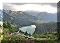
Throughout the trail, there are very fine mountain and valley views. A small November Lake to the right of the trail looks quite good too. Apparently, Pinecone Lake can be observed from the top of Seed Peak. While we saw no bugs during this late September hike, several reviewers on another site mentioned hordes of those, albeit not of a biting variety, so take care.
As far as getting to the trailhead, Mamquam FSR is in decent shape as of the time of writing, and a medium clearance 4x2 should have no trouble getting within 800 meters of the trail, where a steep loose hill would stop all non 4x4 vehicles. There is a good parking spot in that area, and a hike to the trailhead is a rather scenic one too.
Check out our Mamquam River Forest Service Road Trip Report for details on getting to the 31.8km mark of the FSR where we begin our coverage in this trip report.
*All trail distances are based on a GPS odometer and are approximate.
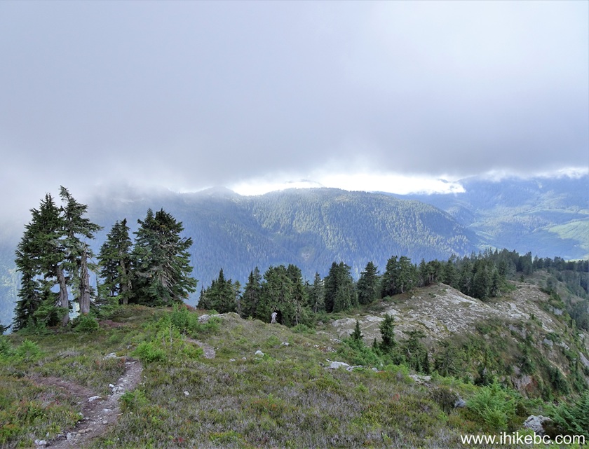
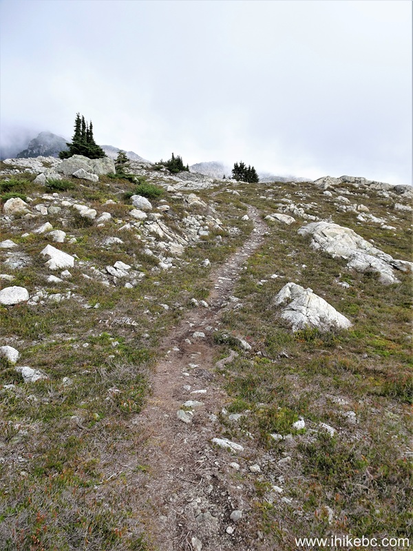
30. Looking back at the 1.13 km mark of Seed Peak Trail off Mamquam FSR near Squamish, BC.
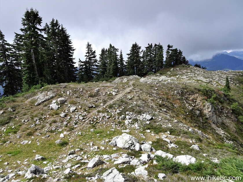
Seed Peak Trail near Squamish, British Columbia, Canada
31. At 1.16 km, there is a short steep climb, with a rope attached for assistance.

Rope assistance - See Peak Trail - Squamish BC area
32-33. It is actually easier to climb without a rope just to the right, and then use the rope on the way back.
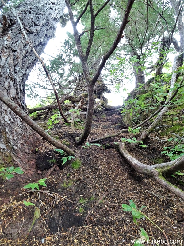
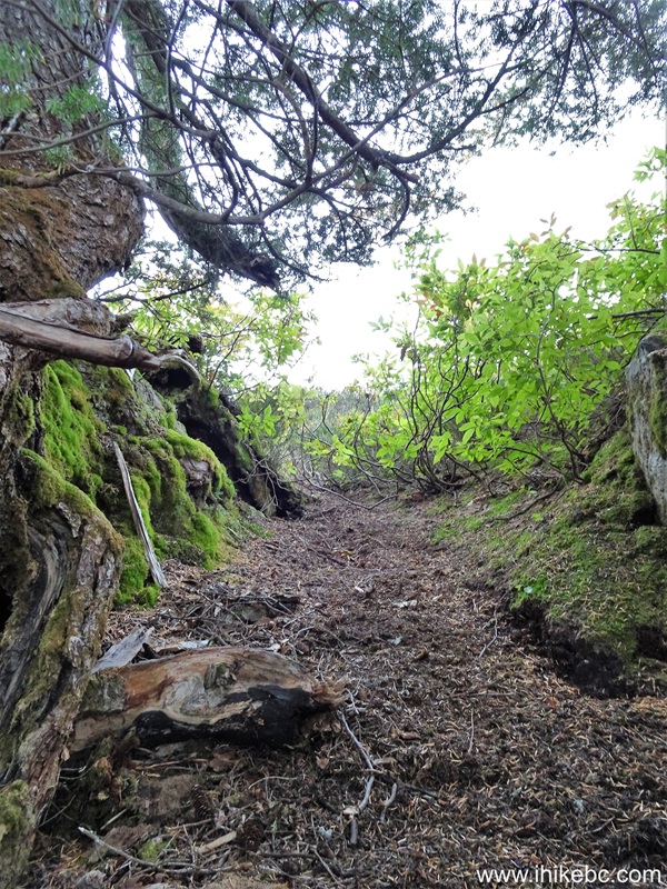
Seed Peak Trail in British Columbia Canada
34. At 1.25 km, we are done with the climb.
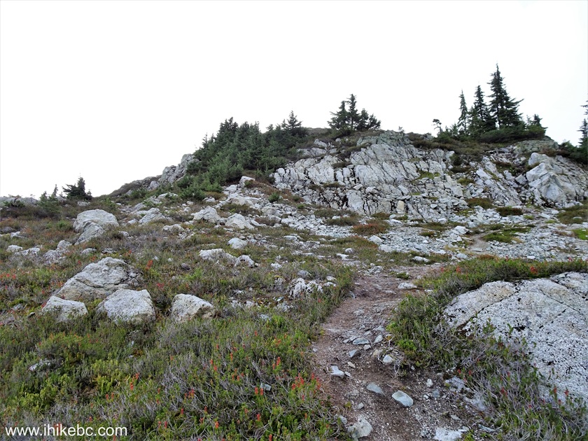
British Columbia Hiking - Seed Peak Trail & Mount Gilliespie Trail
35. Looking back from the same spot.
British Columbia Hiking - Seed Peak Trail near Squamish BC
36-37. A fine view on the left side at 1.25 km of Seed Peak Trail. Left to right.
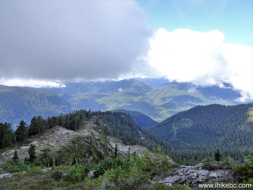
View from Seed Peak Hike in Squamish BC area
38. At the 1.28 km mark now.
Hiking Seed Peak Trail in British Columbia, Canada
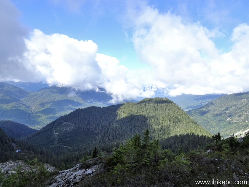
39. Looking left at 1.35 km.
View from Mount Gilliespie Trail / Seed Peak Trail
40. 50 meters later.
Seed Peak Trail / Mount Gilliespie Trail
41-42. At 1.55 km of Seed Peak Hike, we see a prominent tree ahead.
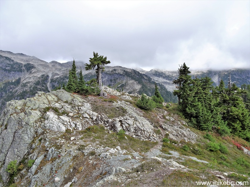
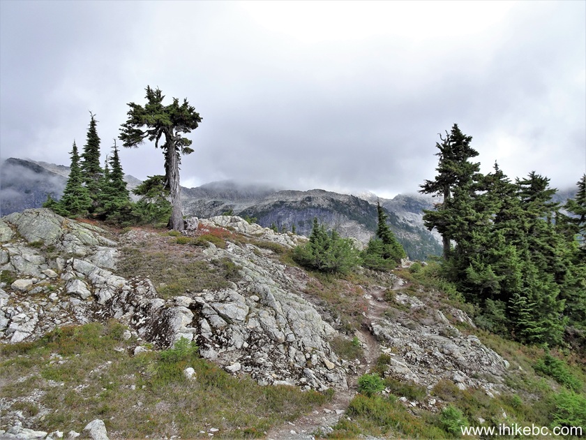
Mount Gilliespie Trail / Seed Peak Trail
43. Right after the tree, at 1.60 km, there is a descent. Coordinates: N 49⁰38.711' W 122⁰51.124'. Elevation: 1,720 meters.
Seed Peak Trail in British Columbia near Squamish
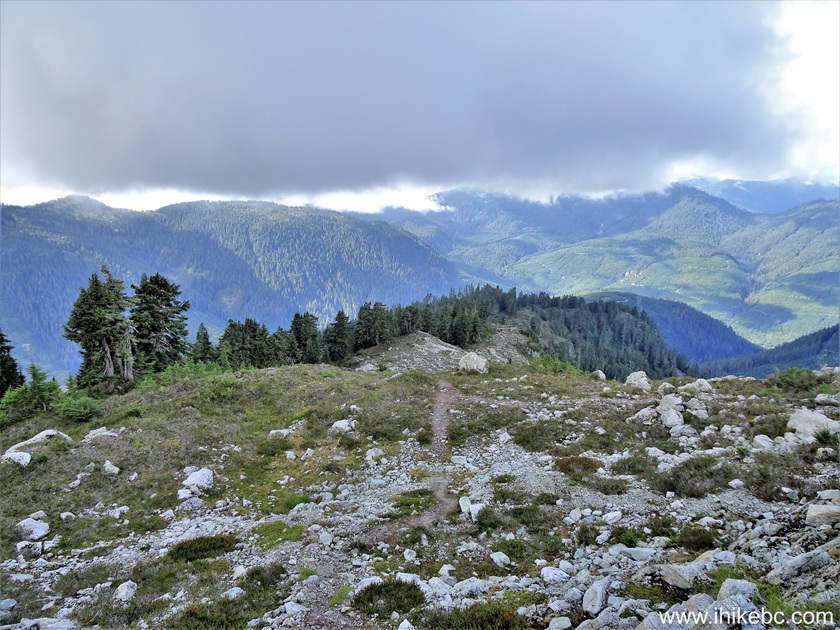
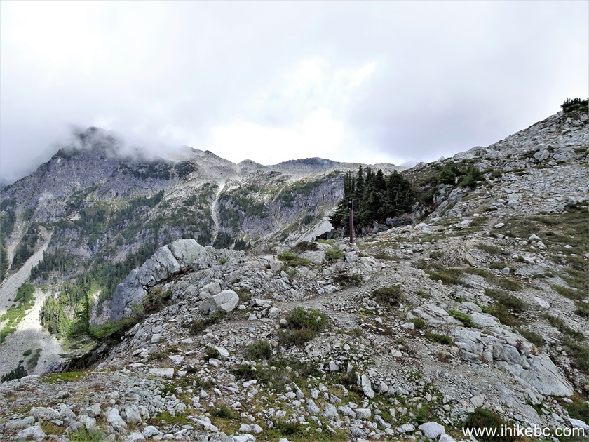
44. Seed Peak Trail at the 1.69 km mark.
Seed Peak Hike
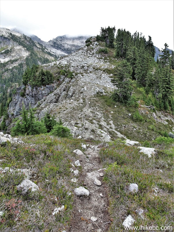
45. At 1.73 km, we have finished descending, and a sign is right ahead.
Hiking Seed Peak Trail & Mount Gilliespie Trail
46. This was unexpected. A provincial park here? Probably, the edge of Garibaldi. Coordinates: N 49⁰38.696' W 122⁰51.029'. Elevation: 1,675 meters.
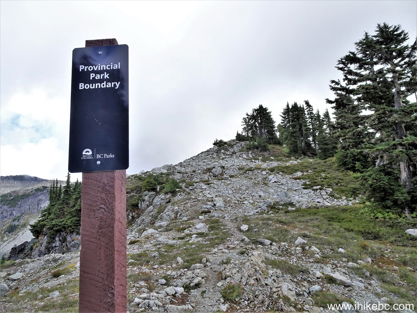
Seed Peak Trail Provincial Park Boundary
47. Seed Peak Trail at 1.75 km, right after the sign.
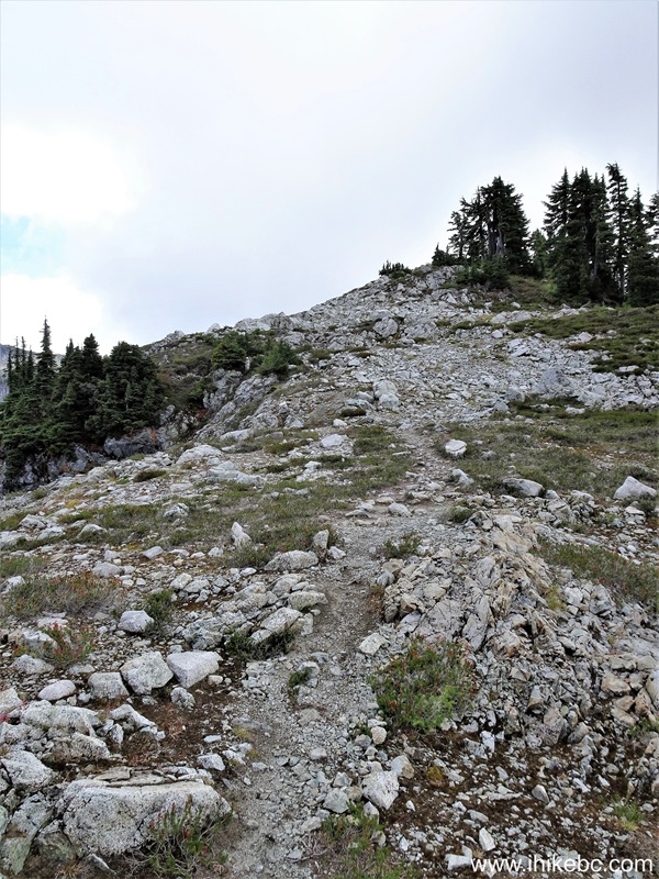
British Columbia Hiking - Seed Peak Trail near Squamish BC
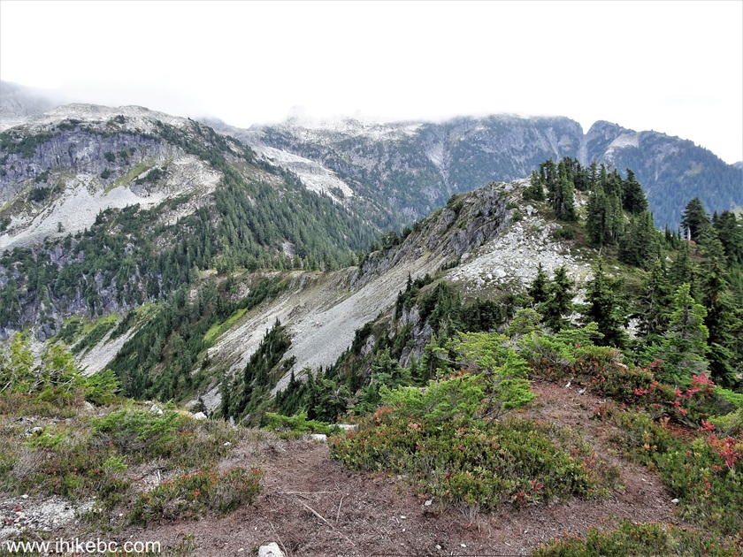
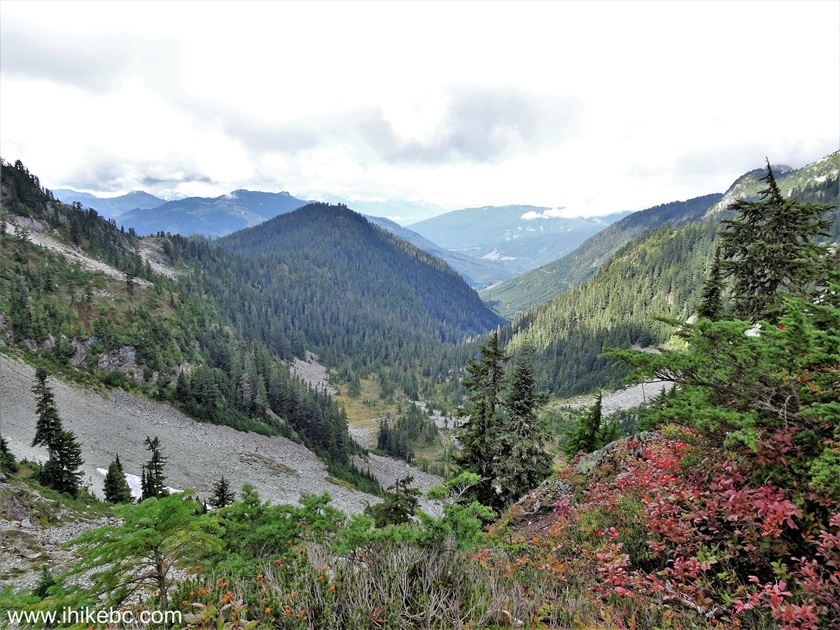
48-52. A fine panoramic view at the 1.86 km mark of Seed Peak (and Mount Gilliespie) Trail. Left to right followed by a panorama. That's Seed Peak on the right side.
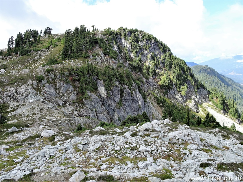
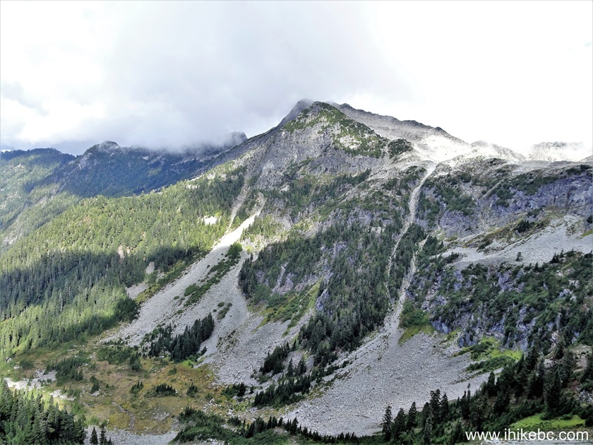
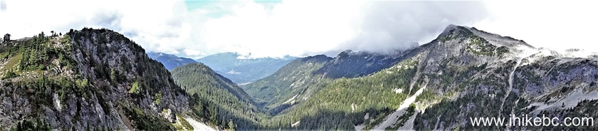
Panoramic view from Seed Peak Trail near Squamish BC
Here is our video of the views from about the 2 km mark of Seed Peak Trail.
More ihikebc videos are on our YouTube Channel.
53. Another view of Seed Peak at 2.08 km of the trail.
Mount Gilliespie British Columbia Canada
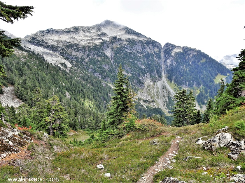
54. And now at 2.20 km.
Seed Peak British Columbia Canada
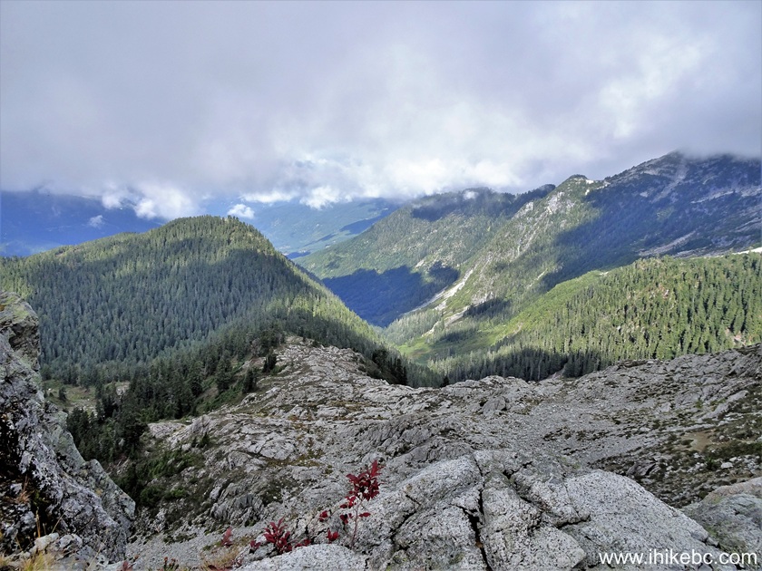
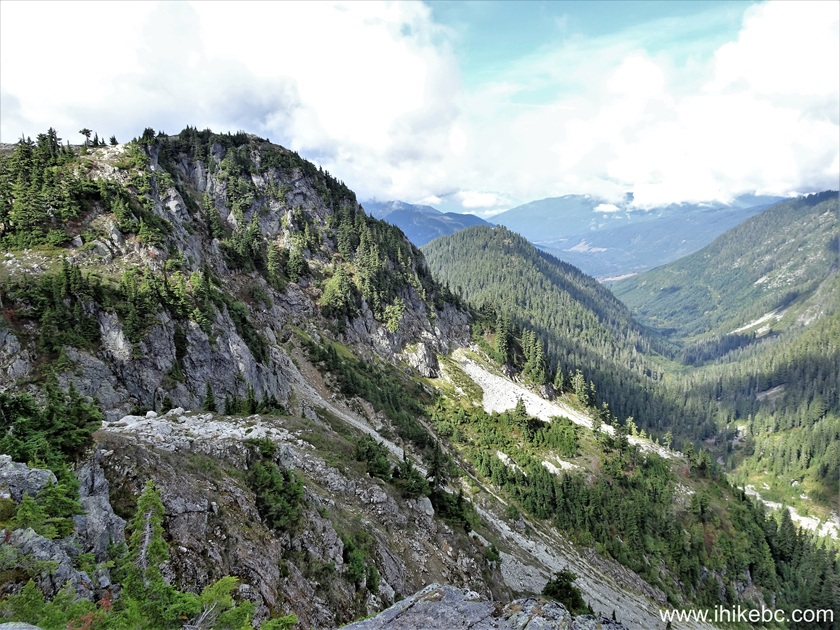
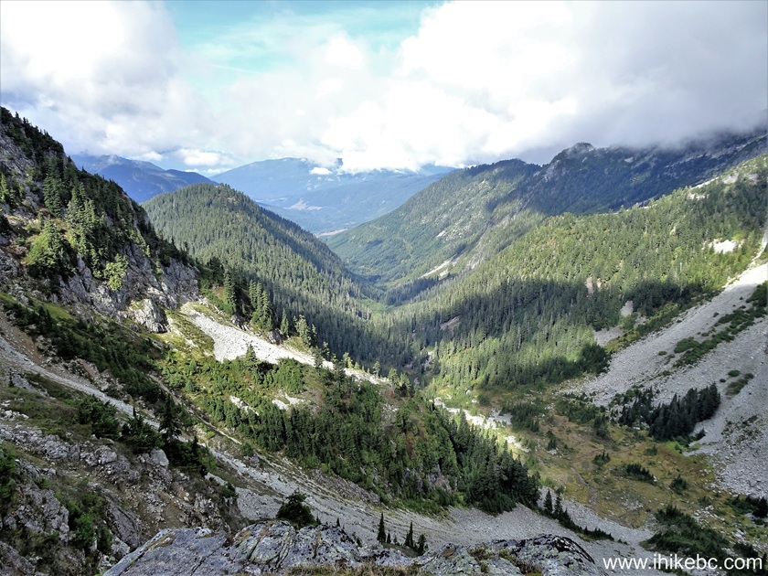
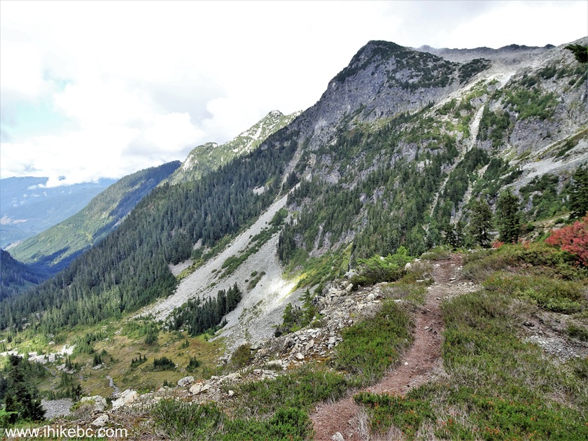
55. A very fine view on the left at 2.27 km.
View from Seed Peak Trail near Squamish BC
Our Seed Peak Trail Hike trip report Continues on Page 3.


|
 |
Other Trips in Squamish Area:
|
|
|
|
|
|
|
|
|
|
|
|
|
|
|
|
|
|
|
|
|
|
Mamquam River FSR
|
|
|
Panorama Ridge Trail
|


Other Trips:


![]()


![]()
![]()
![]()
ihikebc.com Trip 325 - Seed Peak Trail Hike (near Squamish, BC) -
Page 2 of 3