![]()
![]()
![]()

Trip 096 - September 25, 2015 (Friday)
Parsnip West Forest Service Road Trip
Near Mackenzie BC
Page 2 of 2
Location: Northeastern British Columbia, West of the town of
Mackenzie.
Liked: Many campgrounds along the road, with decent views. Access to several trails.
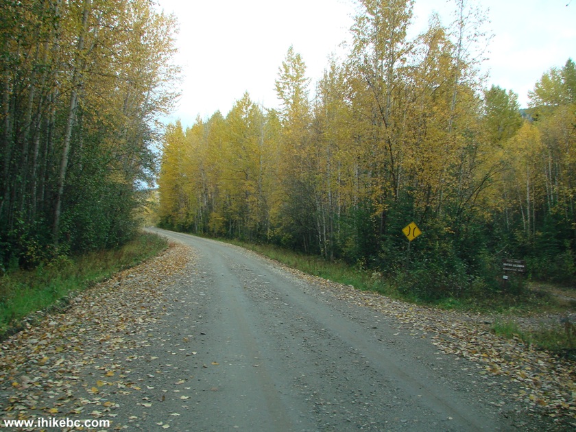
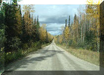
Of note: The road itself is unremarkable. Numerous potholes make the 80 km/h speed limit unrealistic until the latter part of the road. Signs of frequent logging activity along the road.
Northern BC Backroad Mapbook (3rd edition) Coordinates for the Beginning of the FSR: Page 55 (Mackenzie) D6.
Other Forest Service Roads Trips: Chehalis (by Harrison Mills), Chilliwack Bench, Chilliwack Foley, Chilliwack Lake, Chuchinka-Colbourne (North of Prince George), Clear Creek (off Harrison East), Florence Lake (access to Stave Lake by Mission), Harrison East, Harrison East Second Trip, Harrison West, Jones Lake (near Hope), Lost Creek (by Mission), Mamquam River (by Squamish), Nahatlatch (near Boston Bar), Scuzzy (by Boston Bar), Shovel Creek (off Harrison East), Sowaqua Creek (by Hope), Squamish River Main, Squamish River Ashlu, Squamish River E-Main, Squamish River FSR Washout, Windfall Creek (by Tumbler Ridge).
Related Website: Heather-Dina Lakes Provincial Park - BC Parks Official Website.
Parsnip West Forest Service Road starts near the town of Mackenzie, BC and goes into the wilderness along Williston Lake, which was formed when W.A.C. Bennett dam was created. The road itself is rather boring, but it leads to many neat campgrounds (all free of charge), and several trails. It is possible to launch a boat from at least one of the campgrounds.
Please, note that we drove along this Parsnip West FSR starting from about the 12th kilometer, from a point when Highway 39 ended at Parsnip West. The first 12 kilometers are not shown in this trip report.
Here is a table of interesting things along Parsnip West FSR.
Mileage shown from about the 12th kilometer, where Highway 39 ends at Parsnip West.
RS =Recreation Site
|
KM |
Feature |
Side |
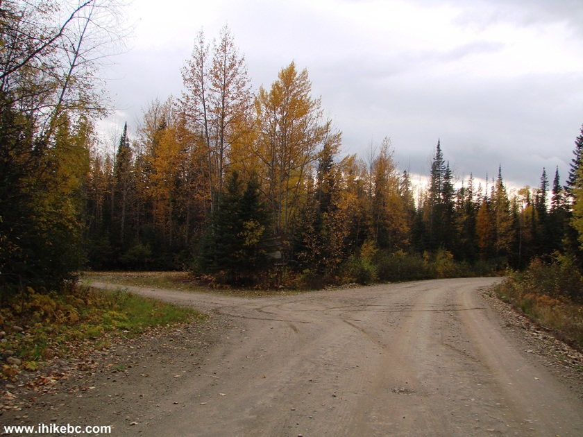
| 0.8 | Chico Camp Road | L |
| 6.9 | Tony Point FSR | L |
| 10.7 | Heather - Dina Lakes Provincial Park Entrance | Straight |
| 12.1 | Heather Lake Turnoff | L |
| 18.6 | Dina Lake Turnoff | L |
| 20.7 | Cut Thumb Bay RS turnoff | L |
| 24.4 | South Lamonti FSR | R |
| 28.7 | Six Mile Bay RS turnoff | L |
| 29.5 | Lamonti Creek FSR | R |
| 33.9 | PARW 7000 FSR | L |
| 38.3 |
Kimta Creek RS (Kimta Creek Trailhead) |
R |
| 41.1 | Unknown FSR | L |
| 50.0 | Unknown FSR | L |
| 53.3 | Weston Creek RS turnoff | L |
| 66.1 | Unknown FSR | R |
| 78.0 |
Canty Lake RS turnoff (to Canty Lake Trailhead) |
R |
| 79.9 | Finlay Bay FSR | R |
| 82.5 | Parsnip West FSR turns right | R |
| 83.6 | Finlay Bay RS - end of Parsnip West FSR | S |
23. Cut Thumb Bay Recreation Site turnoff arrives 20.7 km after the end of Highway 39. After turning left, it's 3.4 km to the RecSite.
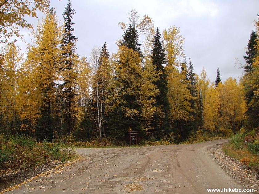
Parsnip West FSR at Cut Thumb Bay Recreation site turnoff
24. The road after turning left.
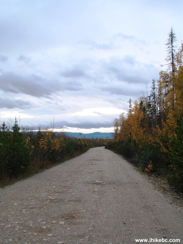
The road to Cut Thumb Bay Recreation Site British Columbia Canada
25. Cut Thumb Bay Recreation Site. There are about 10-15 camping spots at this location, and all appeared to be quite large.
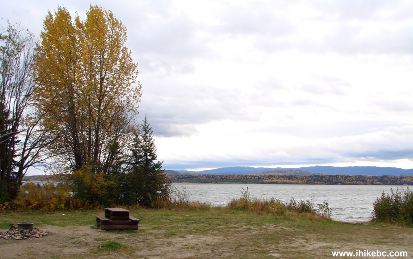
Cut Thumb Bay Recreation Site British Columbia Canada
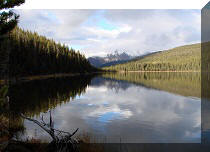
26. Williston Lake on display.
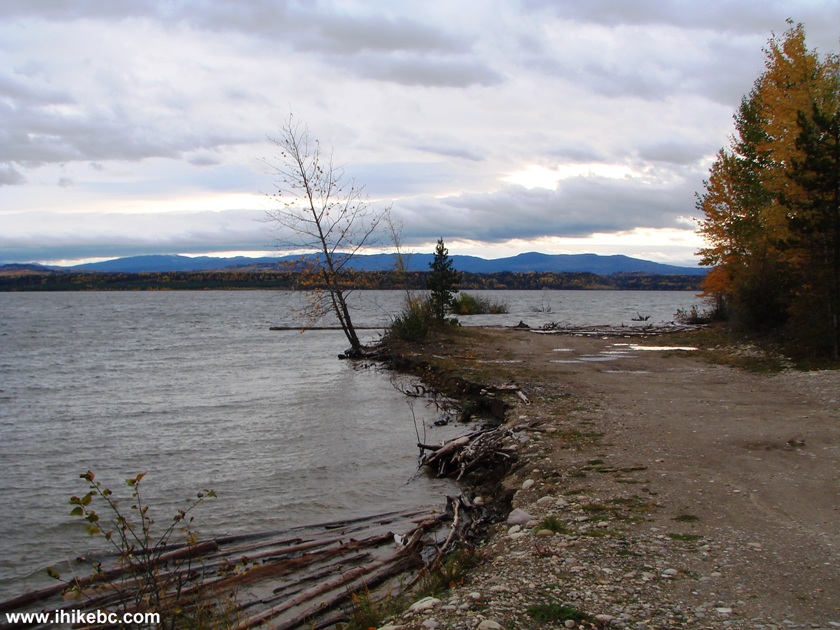
Williston Lake British Columbia Canada
27. Next is Six Mile Bay Recreation Site turnoff at the 28.7 km mark. The RecSite is located one kilometer after the turn.
Six Mile Bay Recreation Site Turnoff
28. Two hundred meters after turning left, turn right.
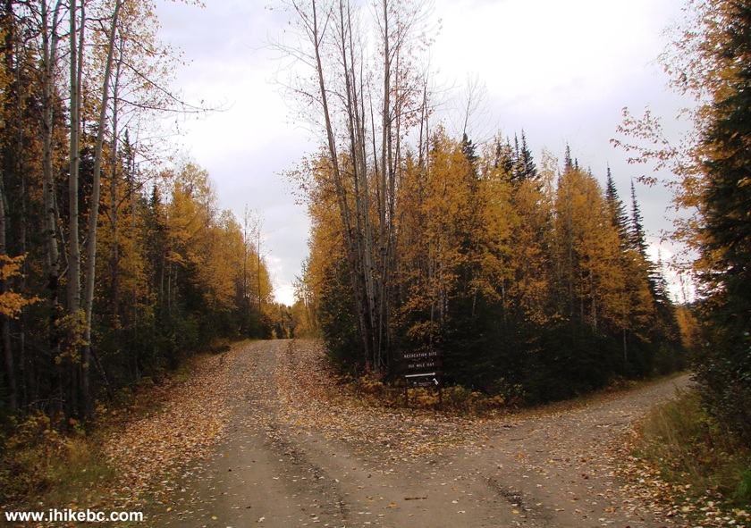
Road to Six Mile Bay Recreation Site
29. And, then, you get to camp.
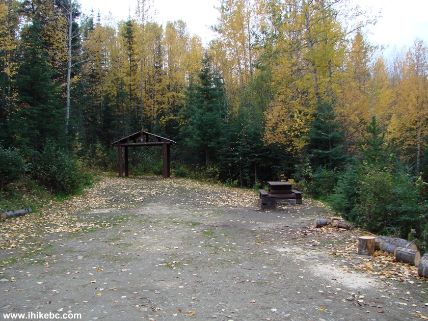
Photo of Six Mile Bay Recreation Site
30. Six Mile Bay RS boat launch area.
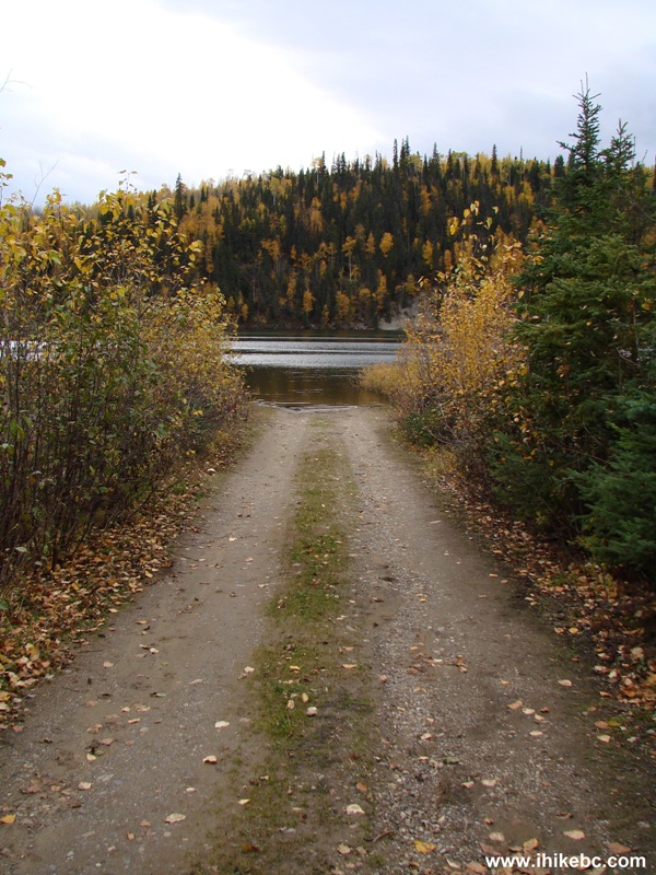
Six Mile Bay Recreation Site Boat Launch Area
31. Williston Lake seen from Six Mile Bay Recreation Site.
Williston Lake BC Canada
32. Six Mile Bay RS features a very large parking area, enough for 40-50 vehicles.
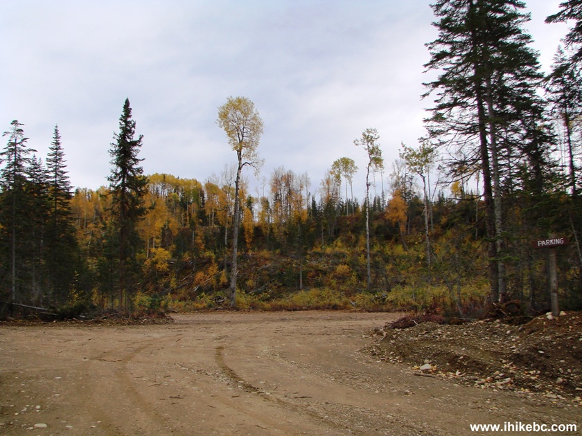
Parking Area at Six Mile Bay Recreation Site
33. At 38.3 km after the end of Highway 39, Kimta Creek Recreation Site is on the right side of the road. There is only one camping spot there and no access to the lake. The main attraction of this recreation site is that it contains the beginning of Kimta Creek Trail.
Parsnip West Forest Service Road at Kimta Creek Recreation Site turnoff
34. Kimta Creek Recreation Site.
Kimta Creek Recreation Site BC Canada
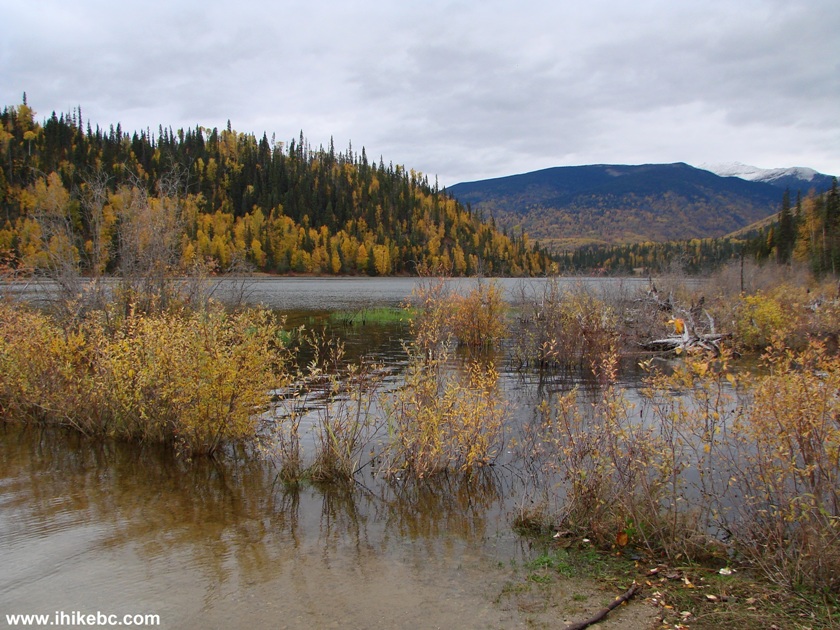
35. At the 53.3 km mark, there is a turnoff to Weston Creek Recreation Site. It's 1.1 km from the FSR to the recreation site after the turnoff. The photo below shows the view of Williston Lake from the actual recreation site, and there are several warnings there about the erosion hazard.
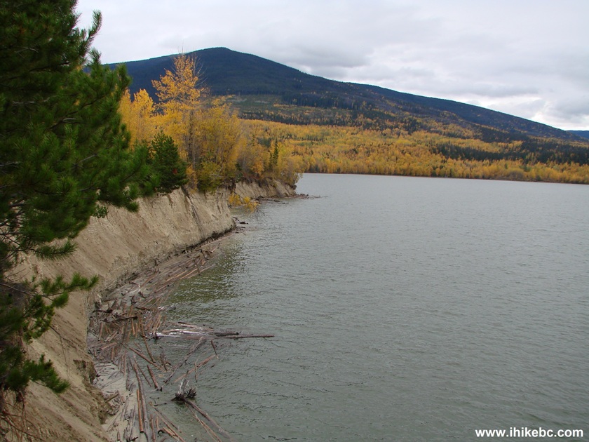
Williston Lake at Weston Creek Recreation Site British Columbia
36. Another view of Williston Lake from Weston Creek Recreation Site.
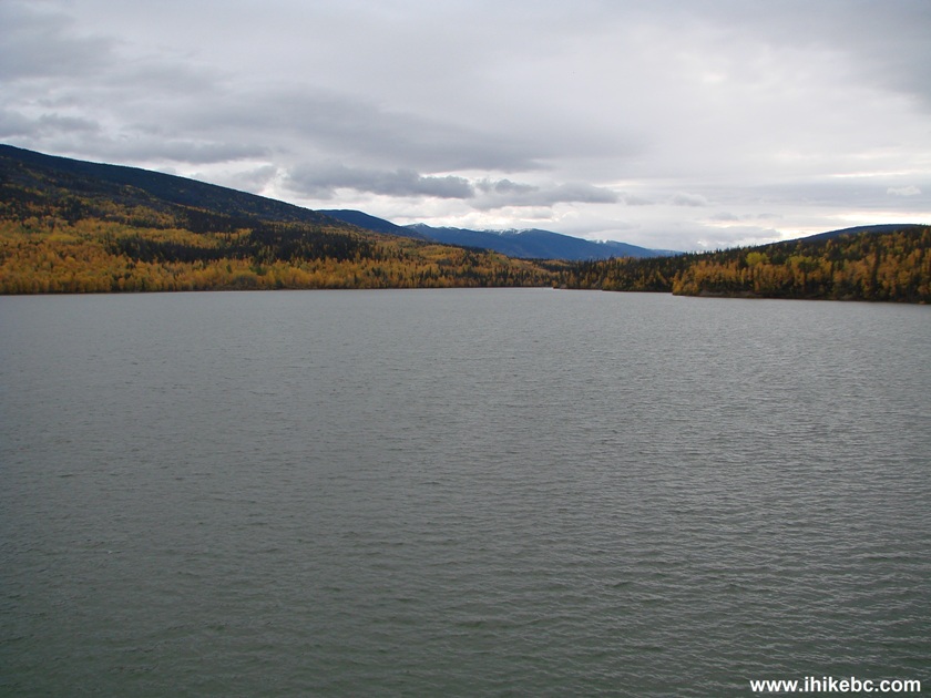
Williston Lake BC Canada
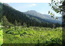
37. At the 78 km mark is the turnoff to Canty Lake Recreation Site. From here, it's about 3 km to a parking lot, and then a moderately challenging hike to Canty Lake and its recreation site.
.JPG)
Canty Lake Recreation Site Turnoff from Parsnip West Forest Service Road
38. At the 82.5 km mark, Parsnip West turns right, and ends one kilometer later at Finlay Bay Recreation Site. This is where we saw vehicles with boat trailers. This is probably THE place to go on Parsnip West FSR to launch big boats. Below is the view of Williston Lake from Finlay Bay RS. Coordinates: N 55⁰59.359' W 123⁰47.967'.
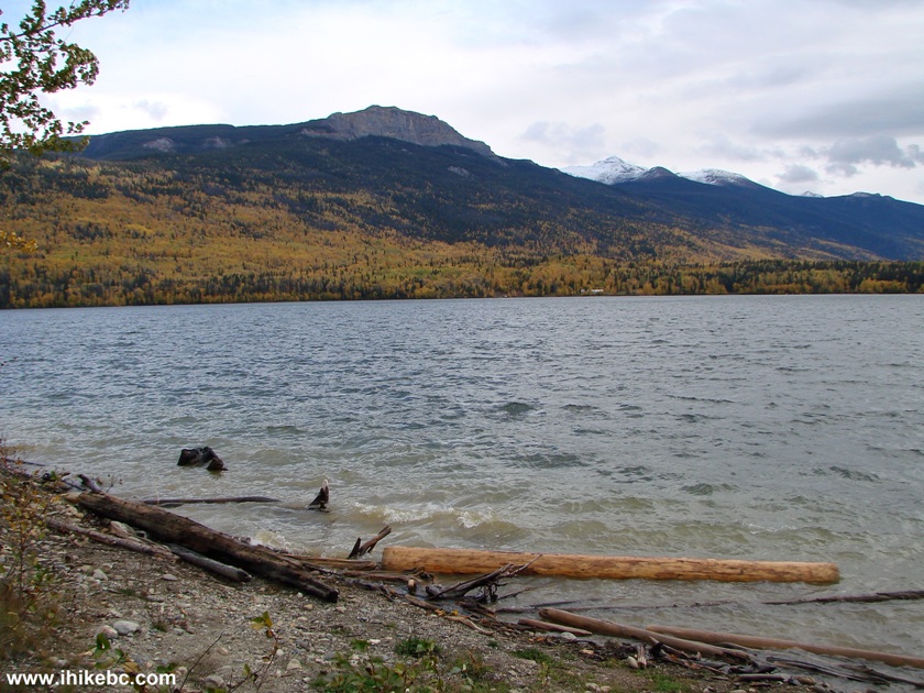
Williston Lake View from Finlay Bay Recreation Site
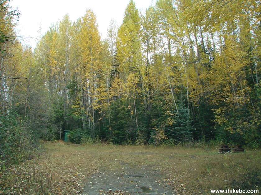
39. Finlay Bay Recreation Site camping spot, one of about 15-20 camping spots at this recreation site.
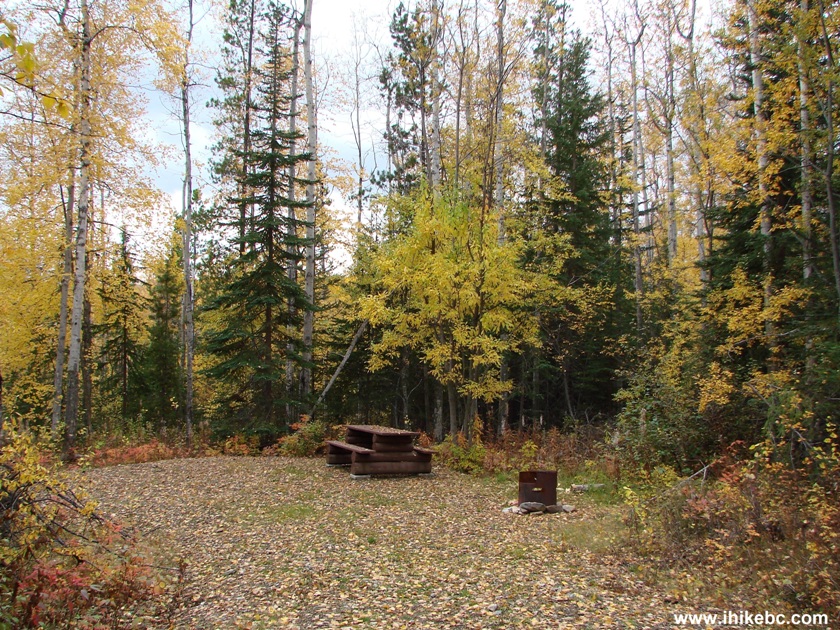
Photo of Finlay Bay Recreation Site
Camping Spot
Parsnip West FSR is a good road in that it leads to numerous camping sites, two hiking trails and several boat launch areas.


|
 |
Other Trips in Mackenzie BC Area:
|
|
|
|
|
|
|
Other Trips:


![]()


![]()
![]()
![]()
ihikebc.com Trip 096 - Parsnip West Forest Service Road (near Mackenzie BC) Page 2 of 2