![]()
![]()
![]()

Trip 216 - June 18, 2021 (Friday)
Dog Mountain Trail Hike
Near Hope BC Canada
Liked: Waterfall, several fine forest scenes, shade in the forest, very few bugs, most of the trail can be hiked in a loop.
Of Note: The trail is designed for mountain bikers and hikers - watch out for downhill riders, noise from Highway 7 for much of the trail, many splitting trails make for a somewhat confusing hike, most of the trail is easy-to-moderately difficult with a few short steep stretches - hiking poles and boots are highly recommended.
Vancouver, Coast & Mountains Backroad Mapbook (5th edition) Trailhead Coordinates: Page 15 (Hope) E6.
Other Trips in Hope BC Area: Thacker Mountain Trail, Flat Iron Peak Trail, Needle Peak Trail, Sowerby Creek FSR Hike, Jones Lake FSR Trip to Jones Lake, Yak Peak Trail, HBC Heritage Trail, Sowaqua Creek FSR, Zoa Peak Trail, Skagit River Trail, Skyline II Trail Hike, Silver Skagit Road, Mount Outram Trail, Othello Tunnels, Eaton Lake Trail, Mount Hope Lookout Trail, Town of Hope BC.
Dog Mountain Trail near Hope (not to be confused with infinitely more popular Dog Mountain Trail in North Vancouver) is a short and pleasant 3 km round trip / loop trail to a fine small waterfall. This trail has no highway signs pointing to it, and the only trailhead sign is made up of duck tape stuck onto a metal plate. And even then, the trailhead sign is hiding in the grass and you really need to look for it.
Despite the lack of signage, Dog Mountain Trail is very easy to find. The trailhead is located right on the shoulder of Highway 7, one kilometer after Highway 7 starts off Highway 1 (or one kilometer before Highway 7 ends at Highway 1, if you are coming from the opposite direction).
Dog Mountain Trail is a combined hiking / mountain biking trail, and there are numerous mountain biking-related installations. However, we could find only one bike track, and it does appear that this trail is used very rarely by mountain bikers, as those above-mentioned installations look quite old, and some have fallen into disrepair.
On the positive side, the trail is quite pleasant, and most of it can be hiked in a loop. The navigational challenge is caused by numerous spur trails, but, by and large, it is fairly obvious which way to go.
*All trail distances are based on a GPS odometer and are approximate.
1
. We are Eastbound on TransCanada Highway 1, approximately 155 kilometers East of Vancouver, and are following Highway 1 (as it splits with Highway 5 here) by taking Exit 170 to Hope.
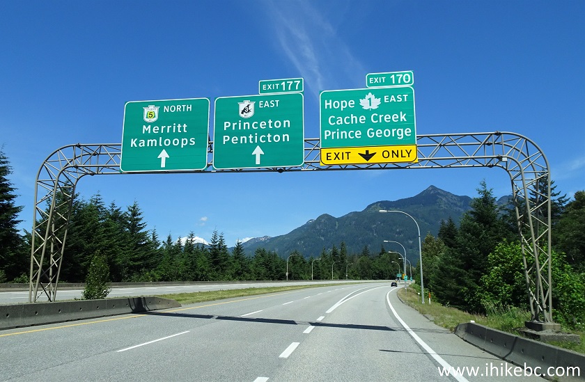
TransCanada Highway 1 Westbound Exit 170 Hope
2-3. After taking Exit 170, turn left at the traffic light, and follow signs to Highway 1 East (to Cache Creek and Kamloops).
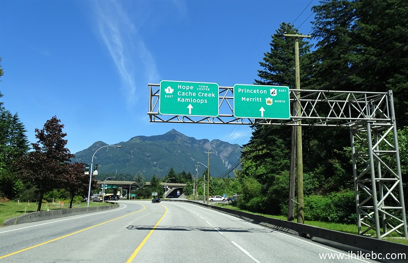
Flood-Hope Road in Hope BC Canada
Flood-Hope Road Hope British Columbia Canada
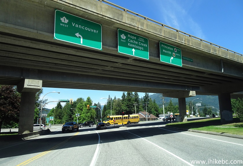
4. Now on Water Street / Highway 1 East in Hope.
Water Street / TransCanada Highway 1 Hope BC
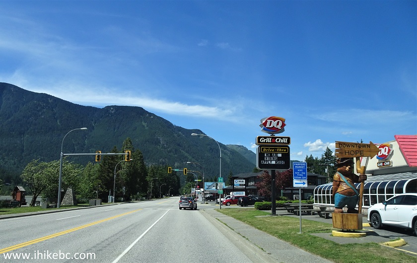
5. Continue on Highway 1 East after driving through Hope, and cross the bridge across Fraser River.
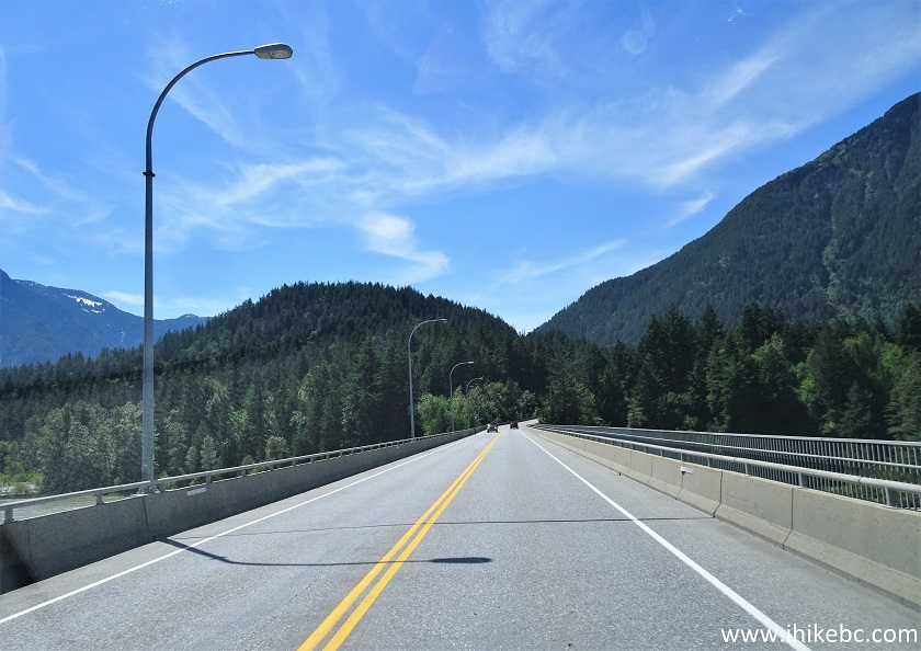
Bridge Across Fraser River Hope British Columbia
6. After the bridge, a sign indicates that Highway 7 (to Kent and Agassiz) starts shortly on the right side.
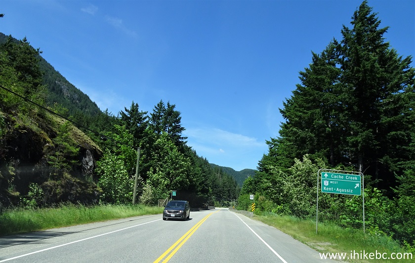
TransCanada Highway 1 East near BC Highway 7 in Hope
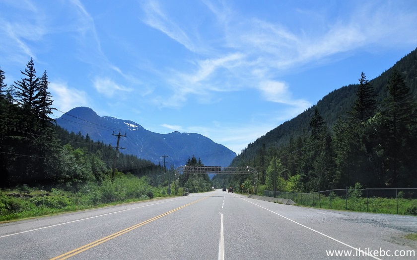
7. There is another small bridge to cross, and then Highway 7 appears on the right side. Take Highway 7.
TransCanada Highway 1 East at BC Highway 7 in Hope
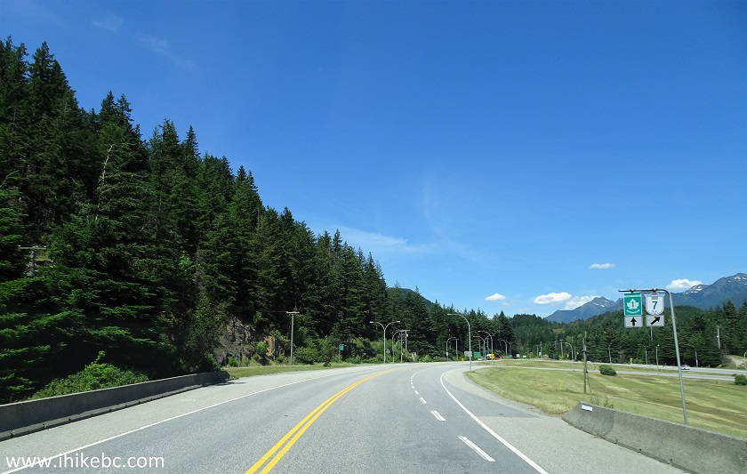
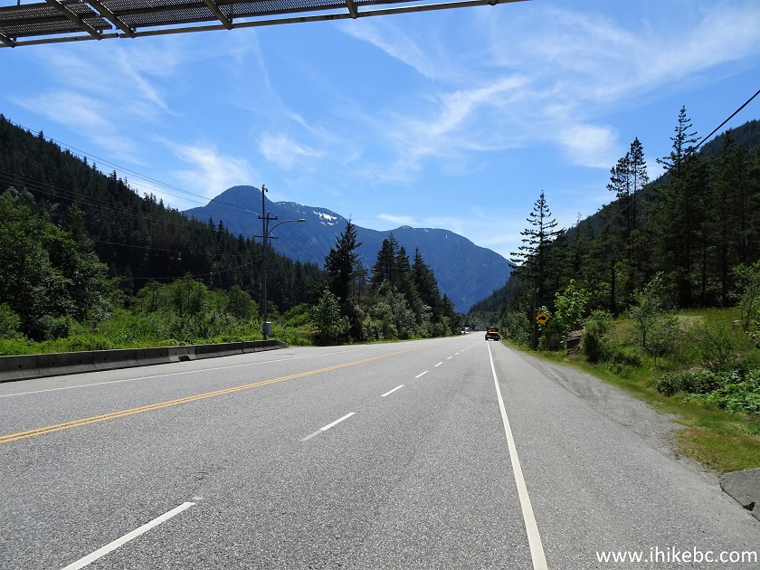
8. Drive on Highway 7 West for one kilometer, and arrive at the Dog Mountain trailhead on the right side, immediately past the metal frame holding a highway information sign (for Eastbound traffic). So, if coming from the West on Highway 7, look for that sign one kilometer before Highway 7 ends.
BC Highway 7 West in Hope
9. Parking for the trailhead is available on the shoulder just past the metal frame, seen at the top of the photo below.
BC Highway 7 East at Dog Mountain Trailhead Parking
10. Dog Mountain trailhead is right there. Coordinates: N 49⁰23.314' W 122⁰28.035'. Elevation: 59 meters.
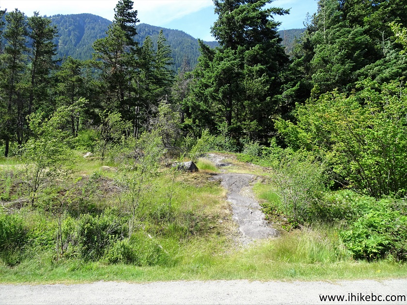
Hope Hiking - Dog Mountain Trailhead
11. There is absolutely nothing to indicate that it's a trail here, except for this makeshift sign hiding in the grass to the right of the trailhead.
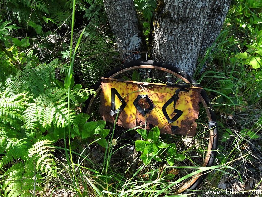
Dog Mountain Trail Sign Hope British Columbia Canada
12. The hike begins.
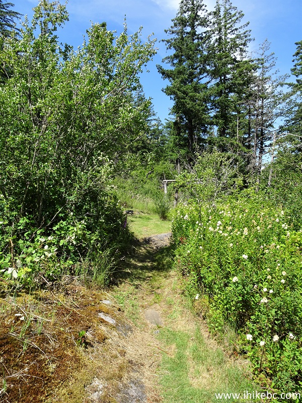
Dog Mountain Hike in Hope BC Area
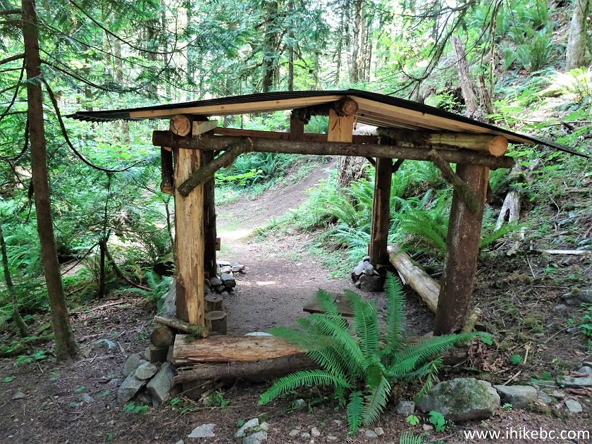
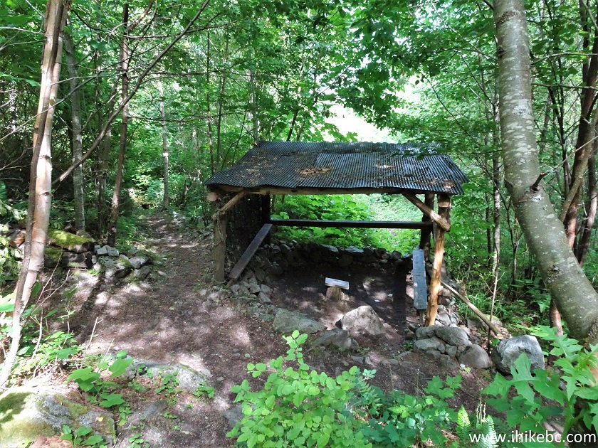
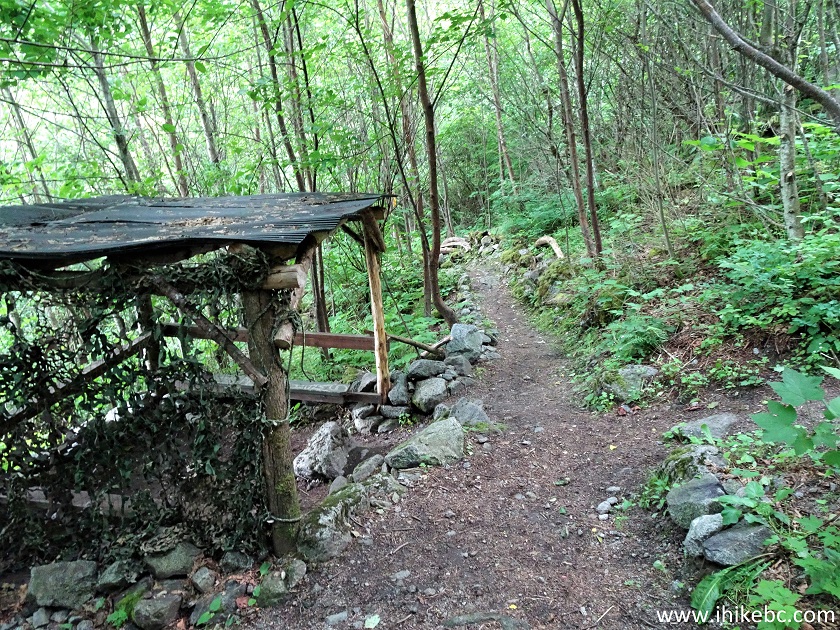
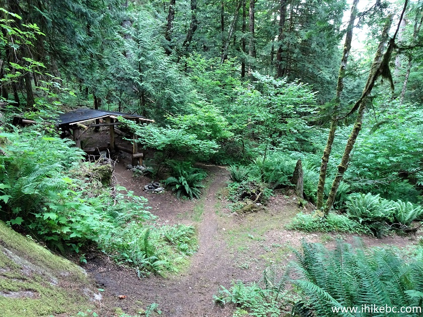
13. In 80 meters, Gazebo #1 is on the right side.
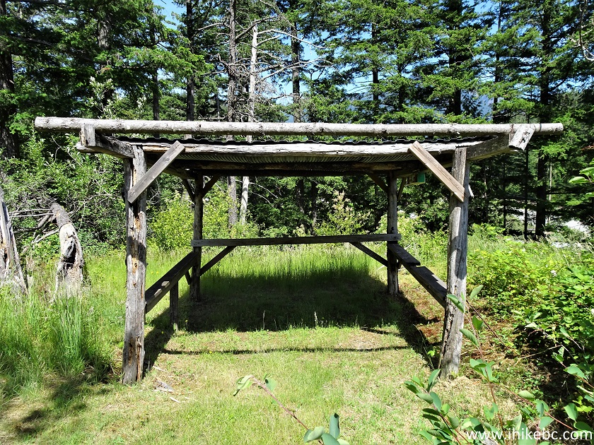
Hope Hiking - Dog Mountain Trail
14. Fifty meters later, a "gate" of sorts.
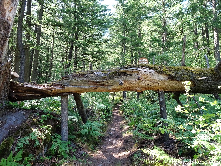
Dog Mountain Trail in Hope British Columbia Area
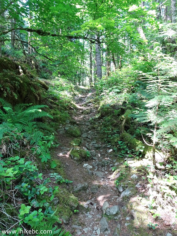
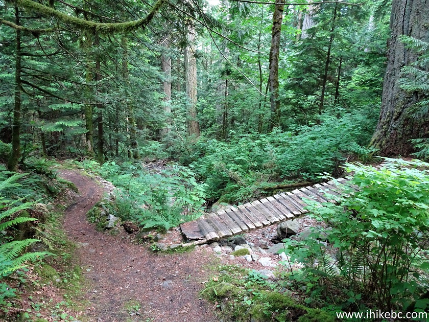
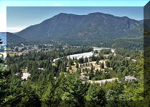
15. It's a pleasant forest, with few bugs, albeit with noise from Highway 7 and the railroad.
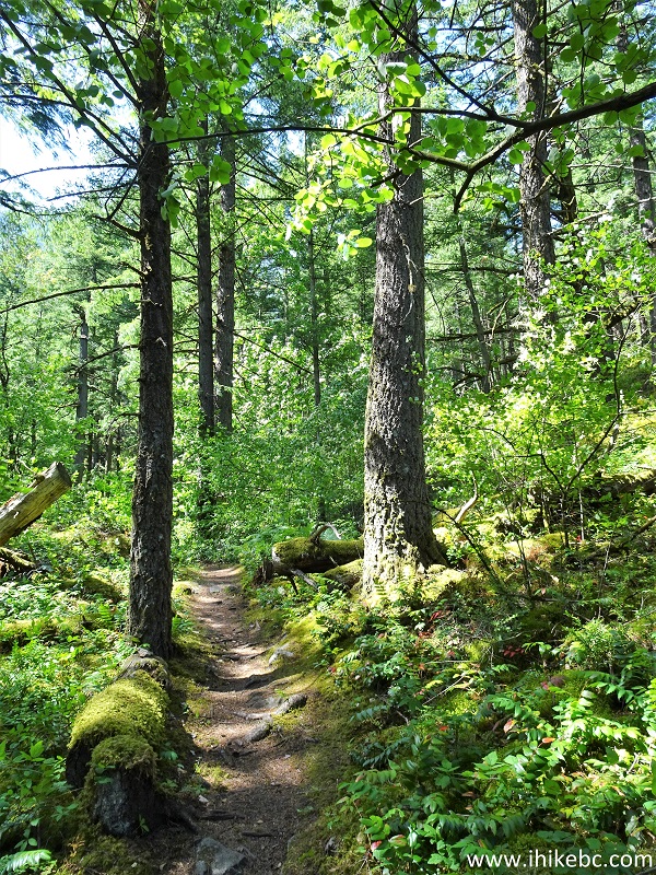
Hike in Hope - Dog Mountain Trail
16. Mountain biking used to be quite popular here, judging by the elaborate obstacle course created on this mountain.
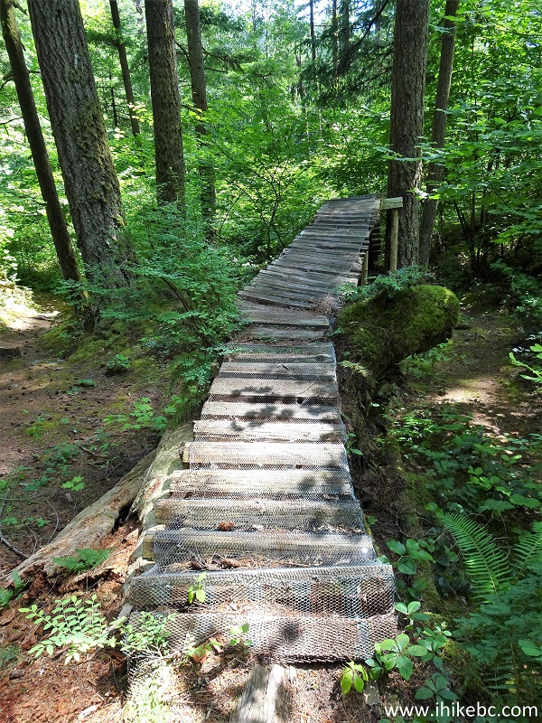
British Columbia Hiking near Hope
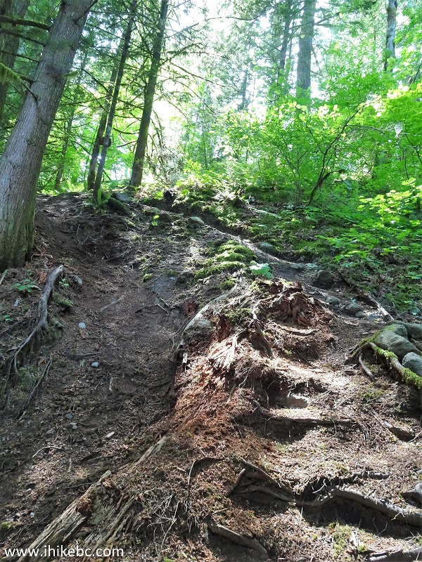
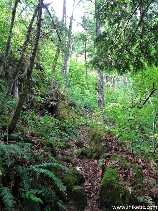
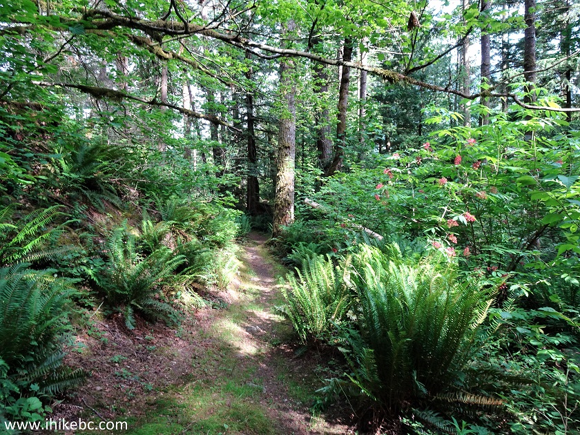
17. Even though it's not a very difficult hike, some parts of Dog Mountain Trail are challenging, if short.
Dog Mountain Trail - Hope Hike
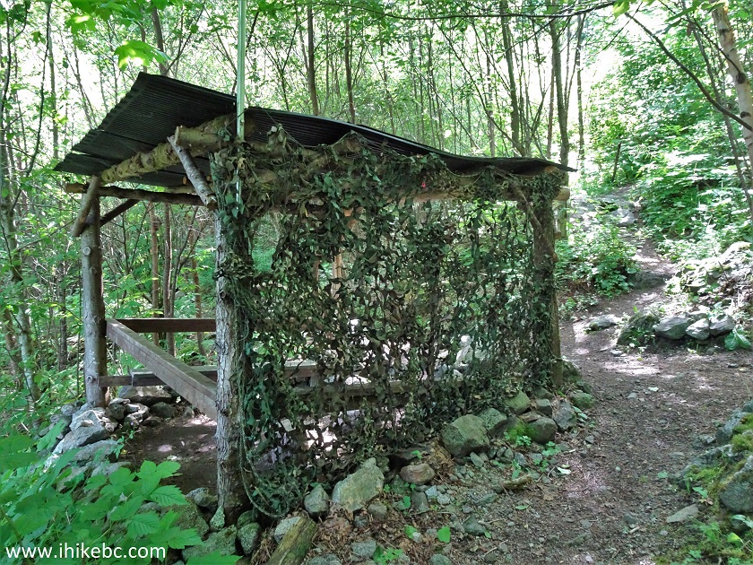
18. Gazebo #2 arrives at 445 meters. This is where the loop starts - keep right. There are splitting trails up to this point as well, but keep to the right at all times, and you will make it to this point and then to the third gazebo near the waterfall.
Hope Hiking - Dog Mountain Trail British Columbia Canada
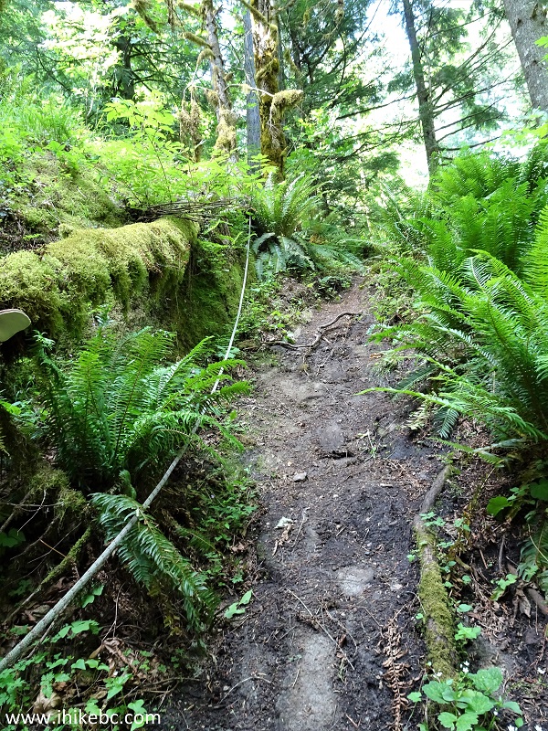
19. Another short challenging stretch follows soon thereafter.
Dog Mountain Trail Hope BC Canada
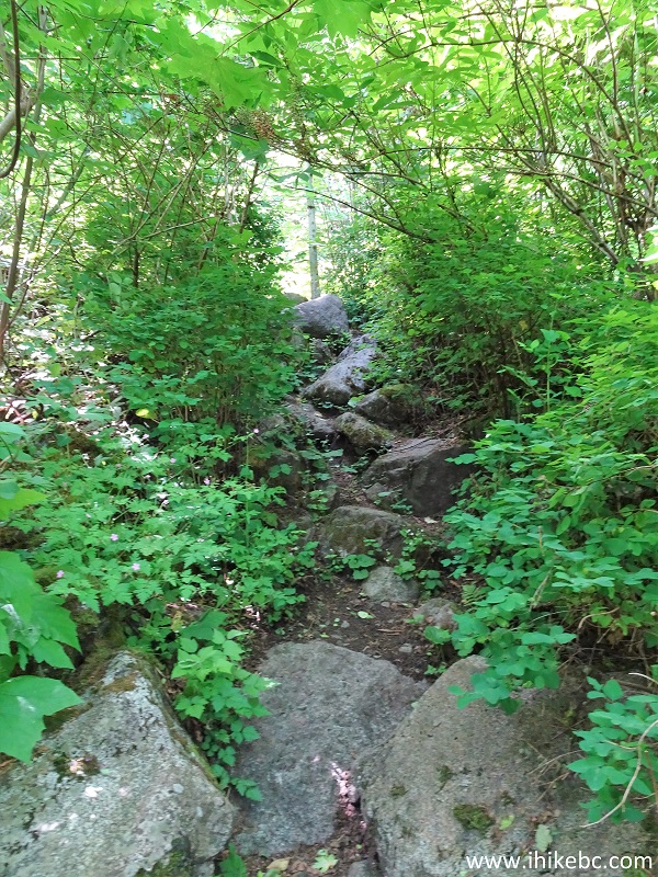
20. At 1.08 km it gets so steep, that a rope is provided for assistance.
Hike in British Columbia - Dog Mountain Trail Near Hope
21. Gazebo #3 arrives at 1.5 km of the hike, and it's a major landmark, as it stands at the intersection where straight ahead is a waterfall (in 100 meters), to the right is a trail to nowhere, and, to the left, is a continuation of the loop back to Gazebo #2. Coordinates: N 49⁰23.479' W 122⁰28.726'. Elevation: 156 meters.
BC Hiking - Dog Mountain Trail
22. We proceeded straight ahead to the waterfall.
Dog Mountain Biking Trail near Hope BC
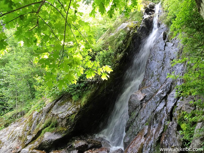
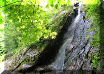
23. A short scramble, and we are there.
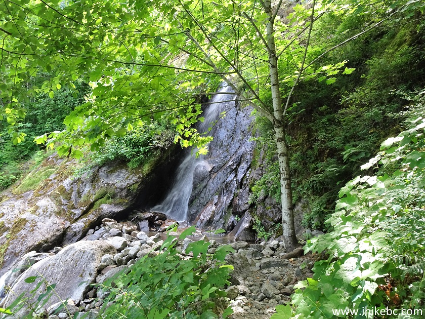
Waterfall by Dog Mountain Trail near Hope BC
24. It's a small, pleasant waterfall, with a bench nearby.
Dog Mountain Trail Waterfall in Hope BC Area
Here is our video of Dog Mountain Falls.
More ihikebc videos are on our YouTube Channel.
25. We then returned to Gazebo #3 and turned left to hike a trail to nowhere (as we thought it would lead to the top of the mountain).
Dog Mountain Trail Hike in Hope British Columbia Area
26. At first, it was like a regular trail.
Hike in British Columbia
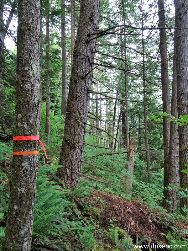
27. But, 350 meters from Gazebo #3, the trail had been destroyed by what looks like a washout and a fallen tree.
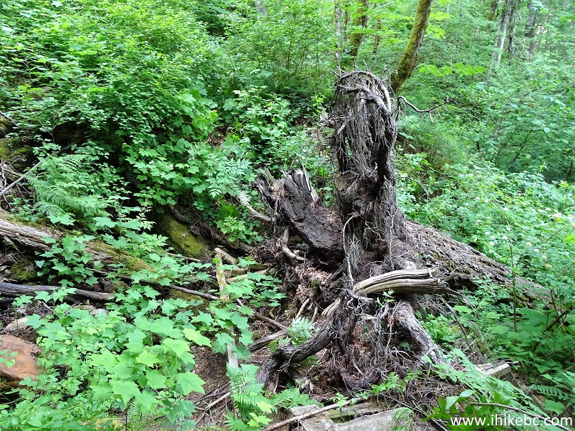
28. We managed to get through this substantial obstacle, and the trail reappeared on the other side only to disappear for good a few hundred meters later. We tied an additional piece of flagging tape to the piece which was already there, and went back. Coordinates: N 49⁰23.314' W 122⁰28.035'. Elevation: 59 meters.
29. We then returned to Gazebo #3 and proceeded past it to complete the loop.
Dog Mountain Loop Trail Hope BC
30. Again, keep to the right at all the splits, except keep left/straight at this one, 340 meters past the gazebo.
Dog Mountain Trail - Hiking in Canada
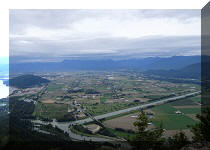
31. A fine view 680 meters past Gazebo #3.
Hope BC Dog Mountain Biking Trail
32. And we arrived back to Gazebo #2, 1.1 km after Gazebo #3. Make a right turn to rejoin the trail you already hiked on the way up. It takes a total of 1.5 km from Gazebo #3 back to the trailhead, for a total hike of 3 kilometers.
Dog Mountain Trail British Columbia Canada
Dog Mountain Trail near Hope is rather short and (mostly) easy, and features several fine forest scenes, as well as a small neat waterfall. Recommended.


|
 |
Other Trips in Hope BC Area:
|
|
|
|
|
|
|
|
|
|
|
|
|
|
|
|
|
|
|
 |
|
|
|
|
|
|
|
|


Other Trips:


![]()


![]()
![]()
![]()
ihikebc.com Trip 216 - Dog Mountain Trail Hike (Near Hope BC)