![]()
![]()
![]()

Trip 151 - September 5, 2018 (Wednesday)/h3>
HBC Heritage Trail Hike
Partial trail: Sowaqua Creek FSR to Campement-du-Chevreuil (about 4.5 km)
Near Hope, BC
Distance From Vancouver: Approximately 190 kilometers via Highway
1 East, Highway 5 North, and Sowaqua Creek FSR.
Liked: Mountain views, wildflowers, information boards, no bugs.
Of Note: Remote wilderness area, several brook crossings required, several holes in the ground, the trail is quite steep for the first 2.5 kilometers, hiking boots and poles are highly recommended.
Vancouver, Coast & Mountains BC Backroad Mapbook (2nd edition) Coordinates for this Partial Trail: Page 16 (Coquihalla Summit) D7-E7.
Other Trips in Hope BC Area: Thacker Mountain Trail, Flat Iron Peak Trail, Needle Peak Trail, Sowerby Creek FSR Hike, Dog Mountain Trail, Jones Lake FSR Trip to Jones Lake, Yak Peak Trail, Sowaqua Creek FSR, Zoa Peak Trail, Skagit River Trail, Skyline II Trail Hike, Silver Skagit Road, Mount Outram Trail, Othello Tunnels, Eaton Lake Trail, Mount Hope Lookout Trail, Town of Hope BC.
HBC (1849) Heritage Trail is about 60 kilometers long, and today we hiked a small part of it from Sowaqua Creek Forest Service Road via Mount Davis to Campement-du-Chevreuil (horse camp) camping area, a hike of about 4.5 kilometers. There is a substantial sweat-inducing climb for the first 2.5 km, and then it gets easier. We started in the afternoon and missed on some good mountain views, as the sun was shining right at us when we were looking at the most impressive mountains. Nonetheless, there were still several good mountains views to be had, as well as fine wildflower exhibits along the later part of the hike. HBC Heritage Trail starts and ends elsewhere, as seen on a map in photo #1. So, from Sowaqua Creek Forest Service Road it is possible to hike in either direction. There is a recreation site on Sowaqua Creek FSR less than 100 meters from HBC Heritage Trail (a pit toilet is available, but no garbage containers), and the map below is on the info board there. We have indicated with yellow squares both ends of HBC Heritage Trail (all 60+kilometers of it), and, with a red square, the portion of the trail that we hiked today. The blue square is where Sowaqua Creek FSR starts by Highway 5 (Coquihalla), and a green square indicates Mount Outram Trail, which we hiked a while ago. Check out our previous trip report for directions from BC Highway 5 (Coquihalla) to the section of HBC Heritage Trail which we hiked today.
1. The map at the Sowaqua Creek / HBC Trail Recreation Site by Sowaqua Creek Forest Service Road.
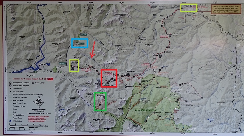
Map of Sowaqua Creek FSR near Hope BC Canada
2. And here is the trailhead. Coordinates: N 49⁰20.072' W 121⁰07.719'. Elevation: 901 meters. As mentioned above, you can hike in the opposite direction too.
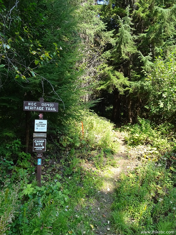
HBC Heritage Trail at Sowaqua Creek FSR - Hope Trail BC
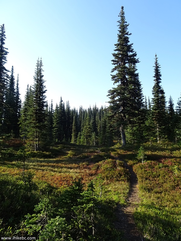
3. Shortly after the start.
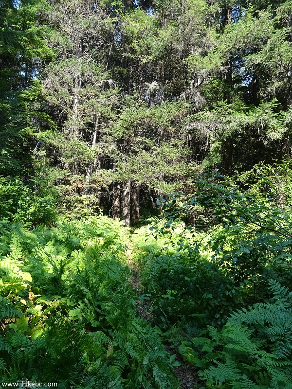
HBC Heritage Trail - Hope Hike
4. There is a substantial climb up Mount Davis pretty much right from the get go (much of it is steeper than what you see in the photo below), and the workout is relentless for the next 2.5 hours. It does help to have a lot of shadow in the forest.
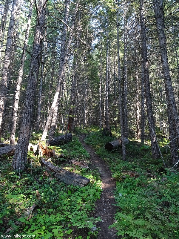
Hope Hiking British Columbia - HBC Heritage Trail
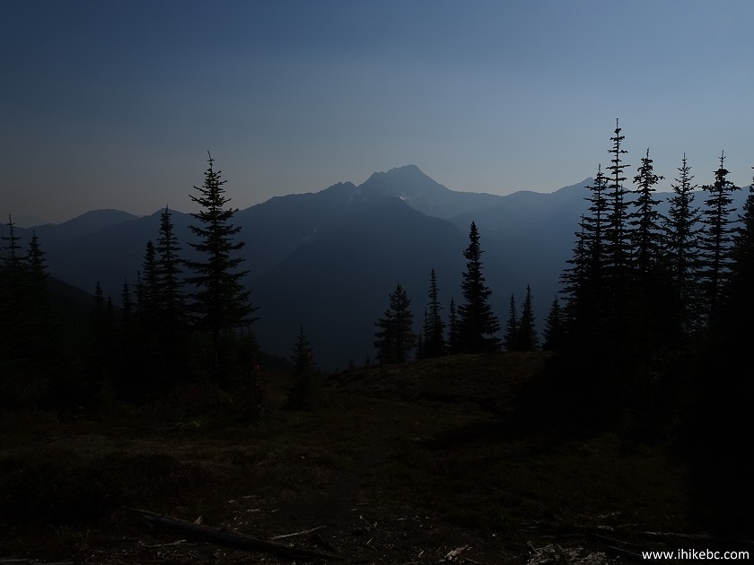
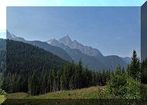
5. Here is the first mountain view, more than 1.5 kilometers after the start of the trail. It took a lot of image darkening to see much in this photo. In the afternoon the sun makes it hard to appreciate the best mountain views on this hike - we got some of the same mountains featured in our previous trip report.
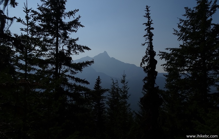
View from HBC Heritage Trail - Trail in Hope British Columbia Canada
Area
6. This part of HBC Heritage Trail has several holes in the ground, and only one was flagged (at the 2.0 km mark) as of the time of the hike - watch your step.
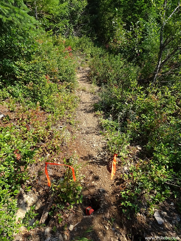
Hole in the ground - HBC Heritage Trail near Hope BC
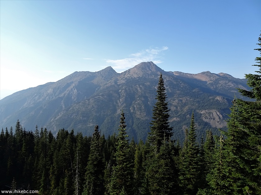
8. One more hazy mountain view.
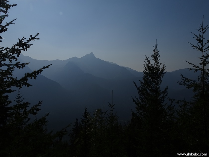
Mountain seen from HBC Heritage trail - Hike in Hope British Columbia Canada
Area
9. After the main climbing part is done, the trail becomes much easier, with straight stretches followed by not-as-steep climbing sections.
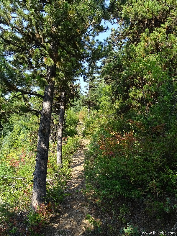
Hiking in Hope BC Area - HBC Heritage Trail
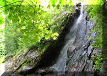
10. There are also a few brooks crossing the trail here and there, but they are unlikely to present much of an obstacle, unless during a spring runoff.
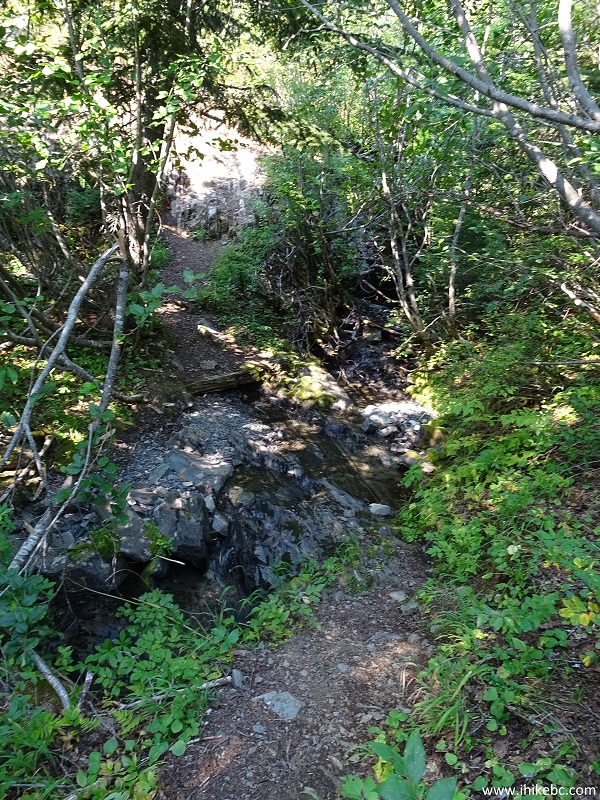
Brook Crossing - HBC Heritage Trail - Hope BC Area Hiking
Here is Our Video of this Brook and the Trail by the Brook:
More ihikebc videos are on our YouTube Channel.
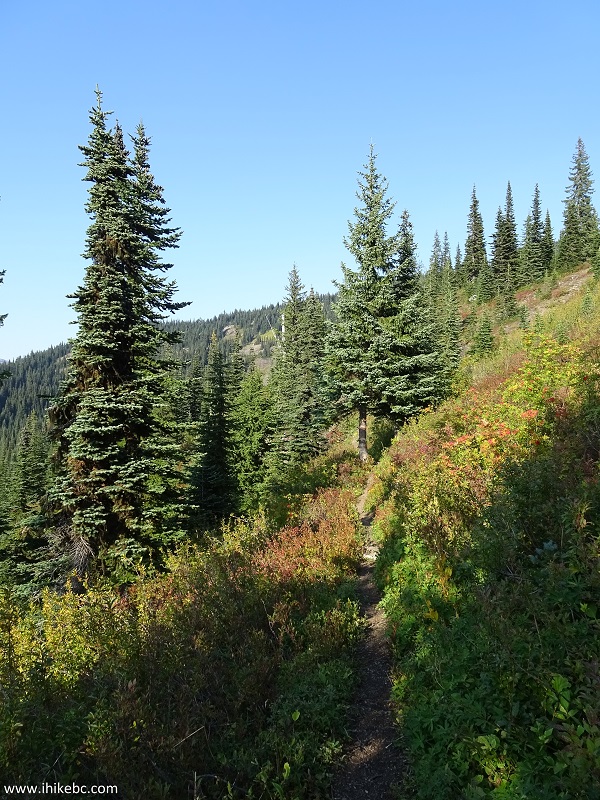
11. What the sun took away as far as great mountain views on the left, it returned with illuminating very pleasant wildflower views on the right. It was a welcome relief after sweating in the woods for over an hour.
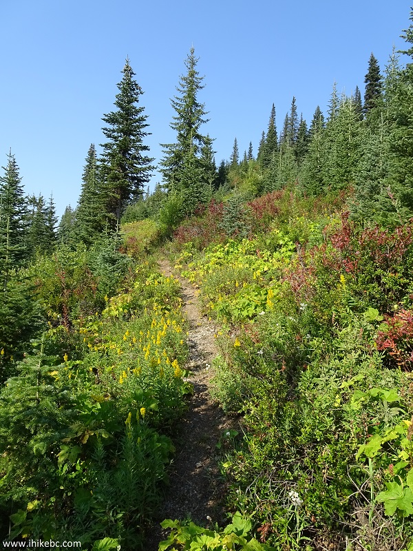
HBC Heritage Trail near Hope British Columbia Canada
12. The red plants are actually a small bush of some kind.
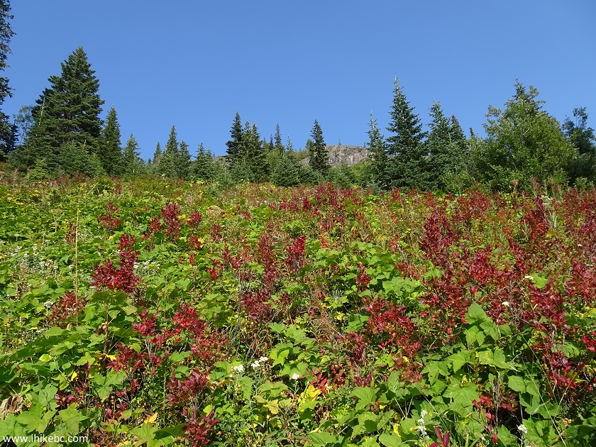
Red Bush HBC Heritage Trail near Hope British Columbia Canada
13. A bit further.
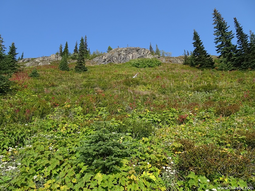
View from HBC Heritage Trail - Hiking in Hope British Columbia Area
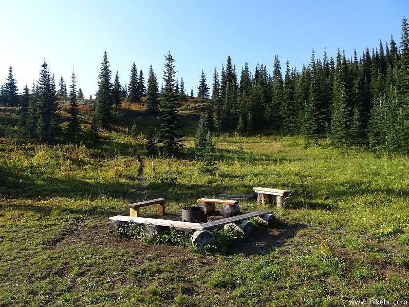
14. Then, there was this neat bench. Coordinates: N 49⁰20.785' W 121⁰06.655'. Elevation: 1,634 meters.
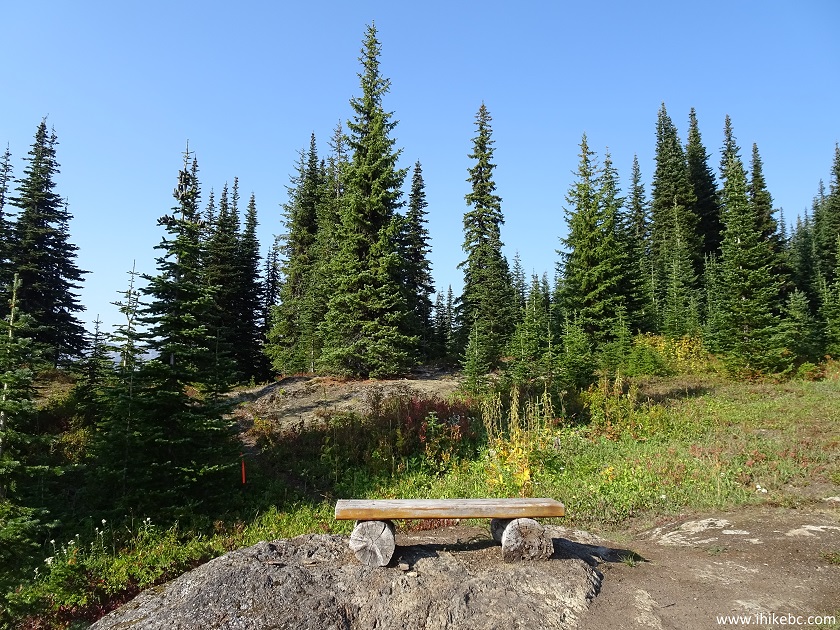
Bench on HBC Heritage Hiking Trail
15. A view from the bench is quite fine, but only when the sun is not shining right at you.
View from the bench at HBC Heritage trail near Hope BC
16. It was not all lost, however, as far as the mountain views on this hike. Here is one a few hundred meters past the bench.
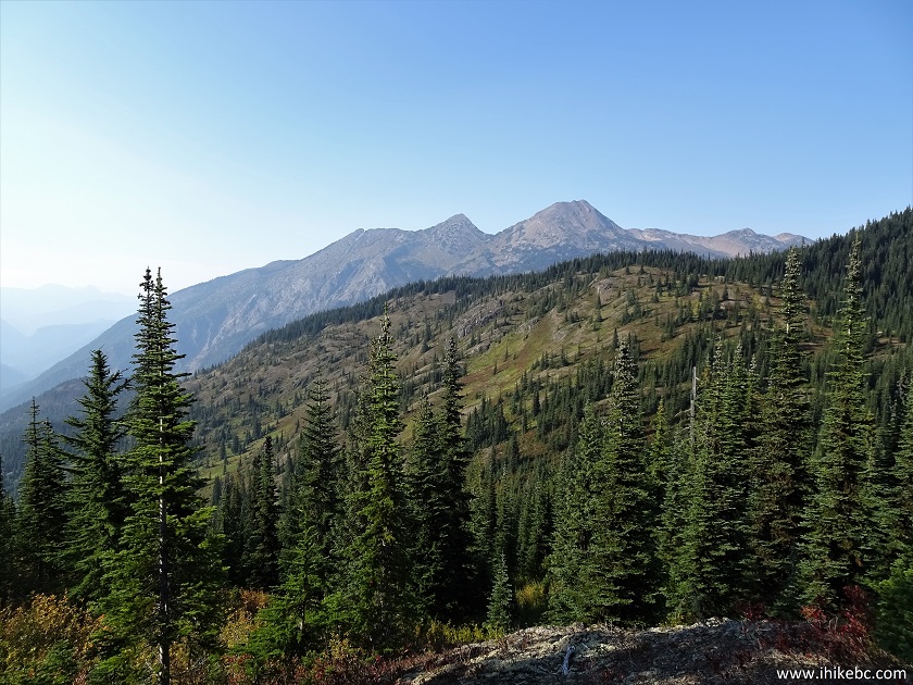
Mountain view while hiking HBC Heritage Trail near Hope British Columbia
Canada
17. Zooming in.
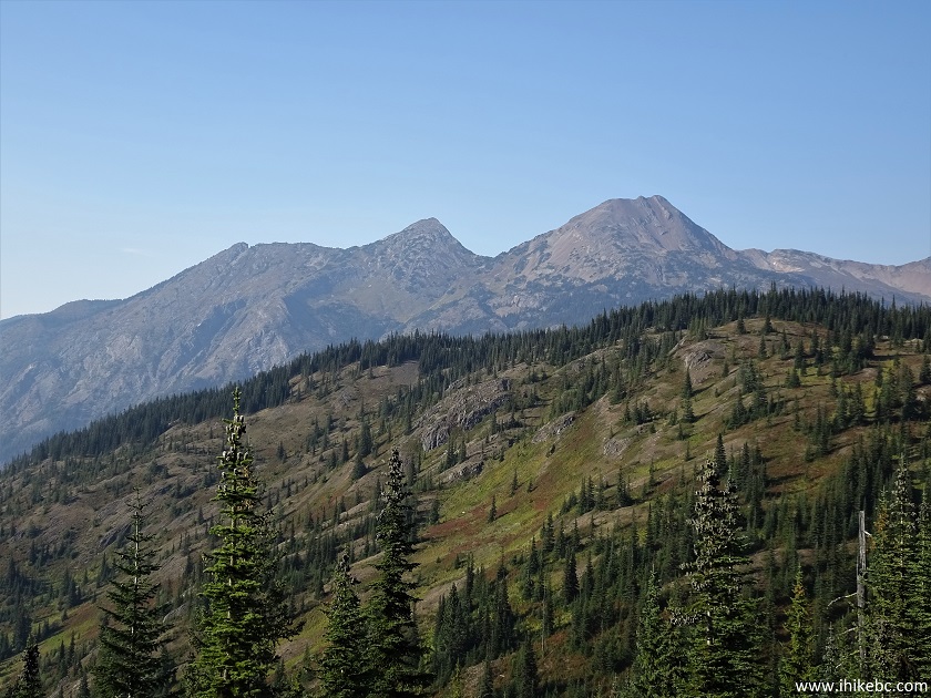
Hike in Hope BC Area
18. Now approaching Campement-du-Chevreuil camping area, which is located 1.3 km from the bench.
HBC Heritage Trail by Campement-du-Chevreuil Camping Area
19. And here it is. Coordinates: N 49⁰21.080' W 121⁰06.525'. Elevation: 1,616 meters. It's 715 meters elevation gain from the start of the trail, and actually an elevation loss of 18 meters from the bench, as the trail does go mostly down from there.
Campement-du-Chevreuil Camping Area - HBC Heritage Trail near Hope BC
20. There is a fine info board at Campement-du-Chevreuil camping area, with interesting facts and stories.
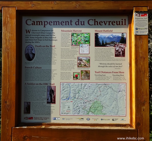
Campement-du-Chevreuil Camping Area Information Board
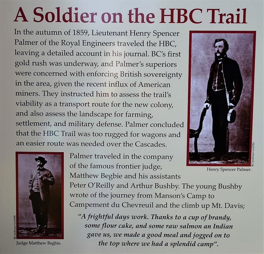
21. Here is one.
22. We actually hiked slightly over 500 meters further on HBC Heritage Trail...
HBC (1849) Heritage Trail near Hope BC
23...and got to see this good mountain view. It's just to the left of the trail, behind some trees, but it's a pretty obvious spot. Coordinates: N 49⁰21.310' W 121⁰06.503'. Elevation: 1,693 meters (792 meters elevation gain from the start of the trail).
Mountain View from HBC Heritage Trail near Hope BC Canada
This stretch of the HBC Heritage Trail is a lot of sweat at the beginning, but, if the sun is cooperating, very good mountain views will be your reward.


|
 |
Other Trips in Hope BC Area:
|
|
|
|
|
|
|
|
|
|
|
|
|
|
|
|
|
 |


Other Trips:


![]()


![]()
![]()
![]()
ihikebc.com Trip 151 - HBC Heritage Trail (Near Hope BC)