![]()
![]()
![]()

Trip 256 - June 16, 2022 (Thursday)
Hidden Grove Visit
District of Sechelt (BC
Sunshine Coast)
Liked: Several fine forest scenes, shade in the forest, no bugs, one fine viewpoint, interpretive signs.
Of Note: Some steep sections (can be avoided), rocks and roots, hiking poles and boots are recommended.
Vancouver, Coast & Mountains Backroad Mapbook (5th edition) Hidden Grove Coordinates: Page 9 (Sechelt) F3.
Related Website: Sechelt Groves Society - Hidden Grove.
Hidden Grove is a large park in the District of Sechelt on British Columbia's Sunshine Coast. From Metro Vancouver a ferry from Horseshoe Bay goes to Langdale, and, from there, it's about a half an hour drive to Hidden Grove.
This park features numerous mostly very easy and rather short trails. Some trails are even wheelchair-friendly. The map indicates three viewpoints in the park. One of them turned out to be quite fine, the other so-so, and the third almost completely overgrown. There are a few steep trails, but, with so many trails and intersections, it is entirely possible to have a long hike on almost flat terrain. The map also shows several locations of "huge" trees, but we did not find them particularly huge, though they are large for sure.
1. Here are Google map directions from Langdale Ferry Terminal to Hidden Grove.
2-3. Hidden Grove Park is located in the District of Sechelt, which has a very impressive Welcome Sign on the side of Highway 101 as you are driving from Langdale Ferry Terminal.
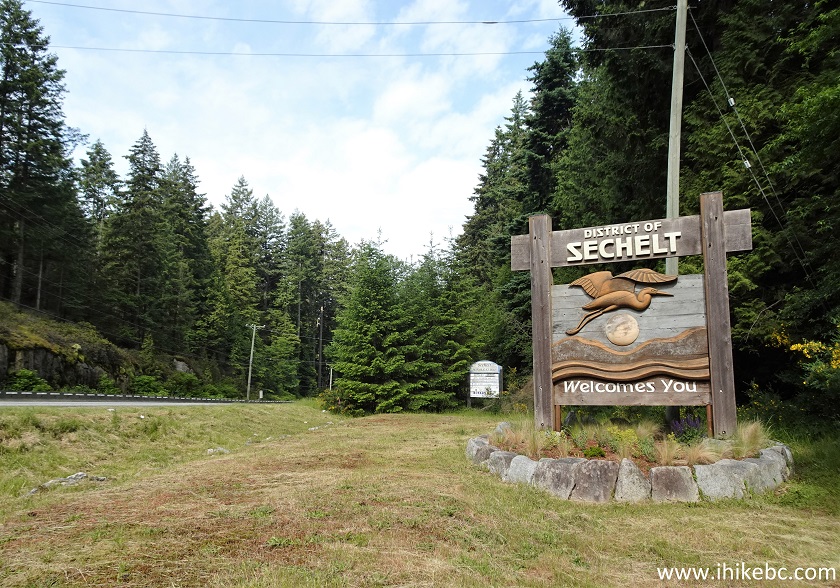
District of Sechelt Welcome Sign
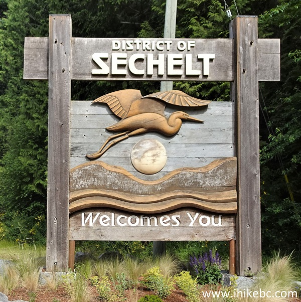
Welcome to the District of Sechelt
4-5. We are on BC Highway 101 in Sechelt and are getting ready to make a right turn onto Wharf Avenue.
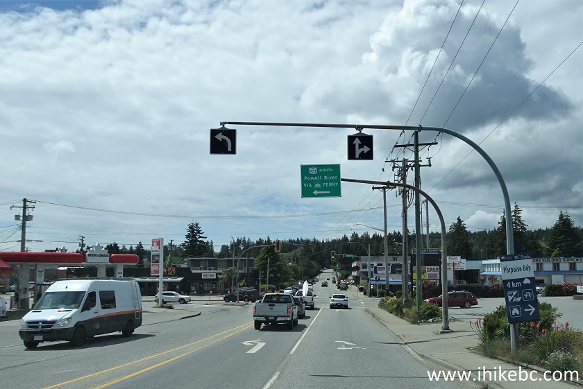
Sechelt BC Highway 101 by Wharf Avenue
Highway 101 at Wharf Avenue Sechelt British Columbia Canada
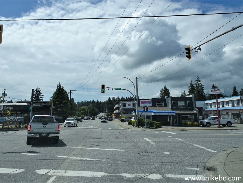
6. Now on Wharf Avenue, where it would be another right turn onto East Porpoise Bay Road very shortly. The signs to Porpoise Bay Provincial Park also lead towards Hidden Grove.
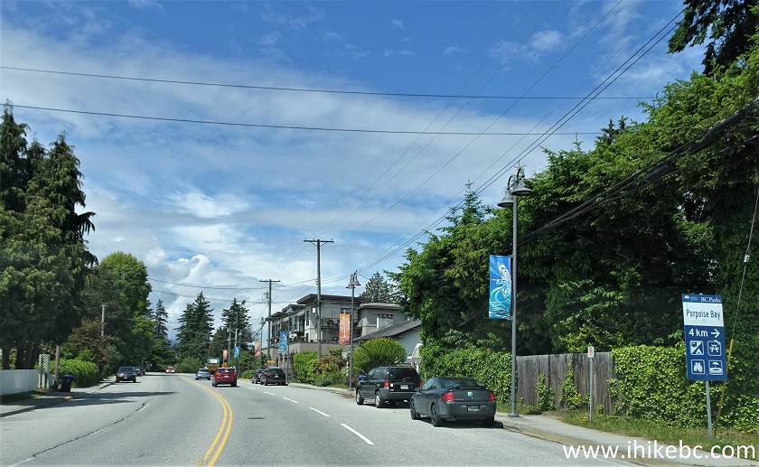
Wharf Avenue Sechelt BC
7. Making a right turn from Wharf Avenue onto East Porpoise Bay Road, 500 meters after turning from Highway 101.
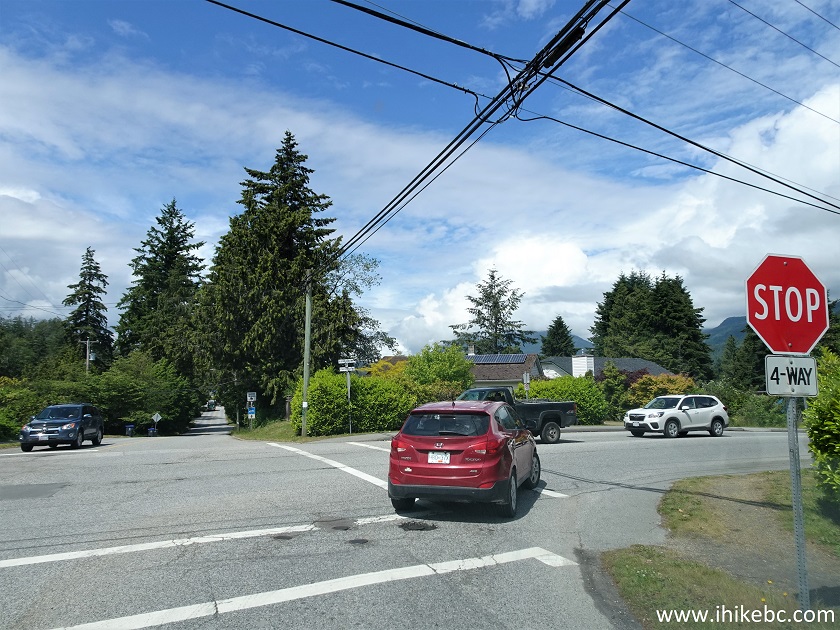
Wharf Avenue at East Porpoise Road District of Sechelt BC Canada
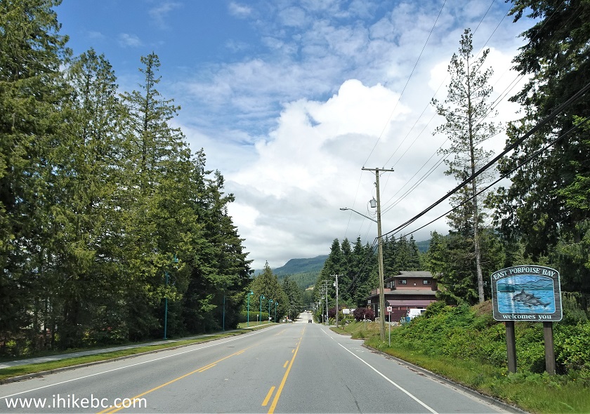
8. East Porpoise Bay Road then becomes Sechelt Inlet Road, but it's the same road.
Sechelt Inlet Road East Porpoise Bay
9. If you need to use the facilities, the last chance before Hidden Grove, which has none, is at Porpoise Bay Provincial Park, on the left side at 4.0 km from Highway 101.
Sechelt Inlet Road at Porpoise Bay Provincial Park British Columbia Canada
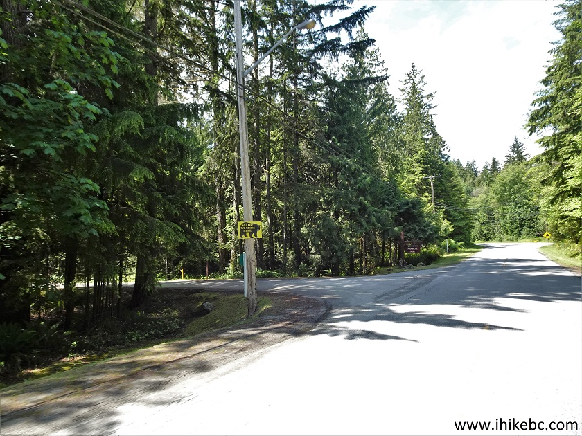
10. Hidden Grove Park is on the right side, 6.9 km from Highway 101.
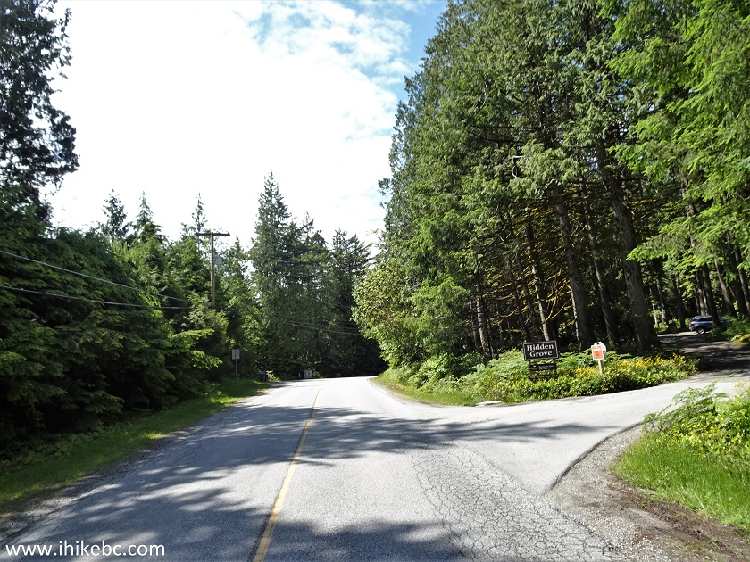
Sechelt Inlet Road at Hidden Grove Park
11. The entrance to the parking lot. There is even an RV/bus parking area. Coordinates: N 49°31.566’ W 123°45.348’. Elevation: 155 meters.
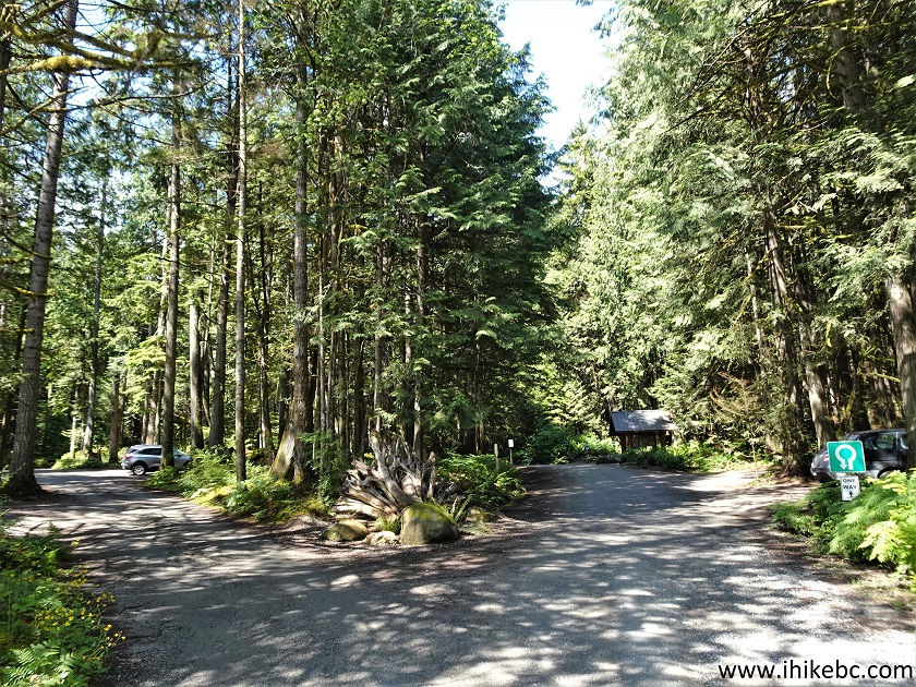
Sechelt Hidden Grove Park Parking Lot
12. The first interesting view is right at the entrance to the parking lot.
Hidden Grove Park Sechelt BC
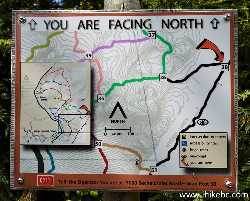
13. There is a gazebo with some information, as well as a bunch of brochures containing a map of the park. Even if there are no brochures left, very convenient park maps at almost every intersection make it super easy to navigate.
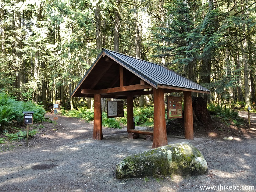
Gazebo at Hidden Grove Park Parking Lot
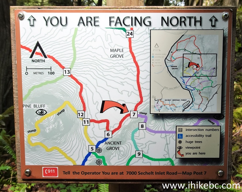
14. Here is one such intersection map. So well done. We have indicated the parking lot with a red square in the bottom left of the map. An orange arrow on every map shows your current location, which is a numbered intersection. Should you need to call 911, follow the instructions at the bottom of each map. "Eye" symbols indicate viewpoints. You can see there is a viewpoint by intersection #26, but it's almost completely overgrown. The one which has fine views is between #8 and #37 on the right side of the map. A so-so third viewpoint is between #38 and #51 (#38 is at the very bottom right of the map, and #51 is off the map here). There are also these snowflake-like symbols for "huge" trees, but don't expect anything jaw-dropping - those are just large tall trees, with nothing particularly spectacular about them.
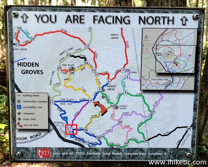
Hidden Grove Park Map
15. Just decide where you want to head and choose one of several trails starting at the parking lot.
Sechelt Hiking - Hidden Grove Park
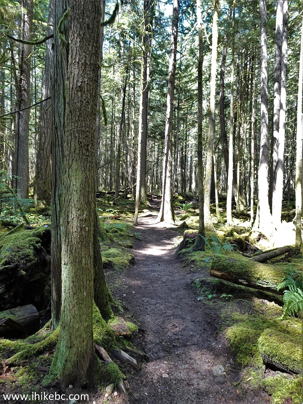
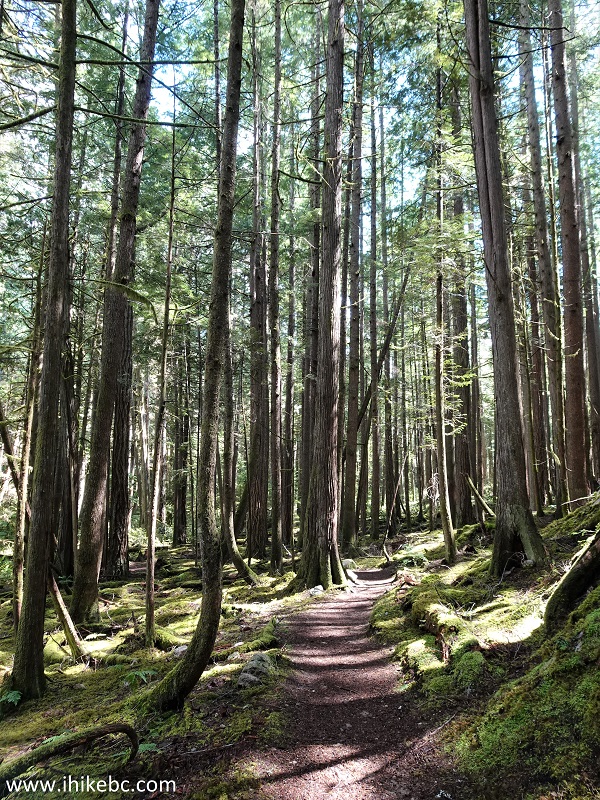
16. An easy path, a pleasant forest.
Hiking in Sechelt Area - Hidden Grove Park
17. Approaching the overgrown viewpoint by intersection #26. A bit steep here.
Hidden Grove Park in District of Sechelt British Columbia
18. Not much of a viewpoint, but there is a bench.
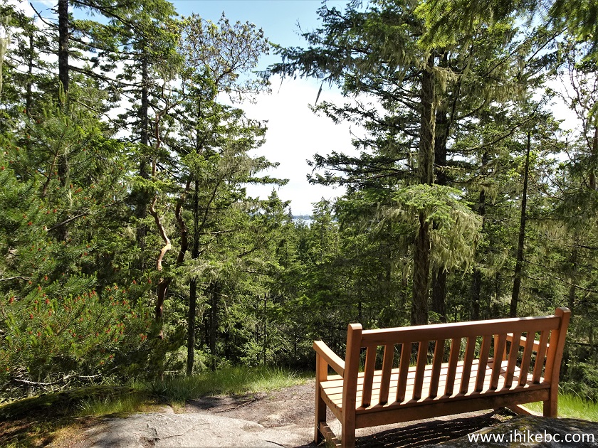
Hidden Grove Park Sechelt BC Canada
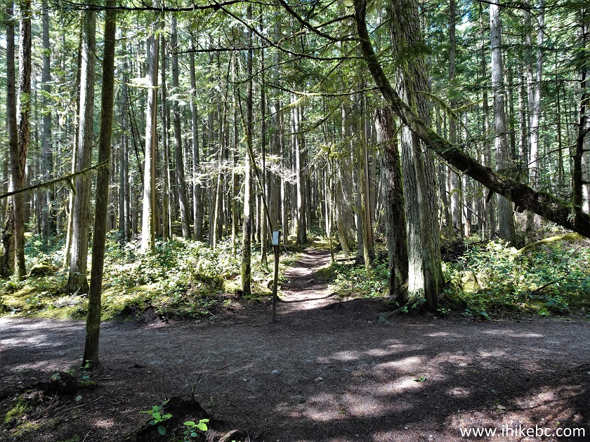
19. Moving on. About 750 meters from the trailhead. Though, with so many ways to get to anywhere in the park through so many trails, distances are not very useful here.
Hiking in District of Sechelt - Hidden Grove Park
20. One of the "huge" trees.
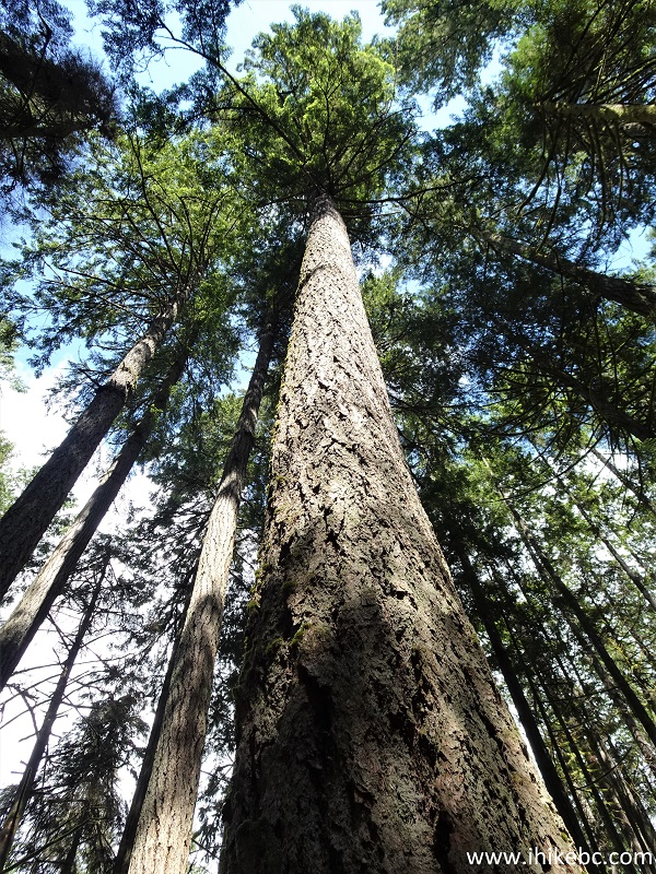
Large Tree in Hidden Grove Park
21. And now we are at the intersection #7.
Map of Hidden Grove Park in District of Sechelt BC Canada
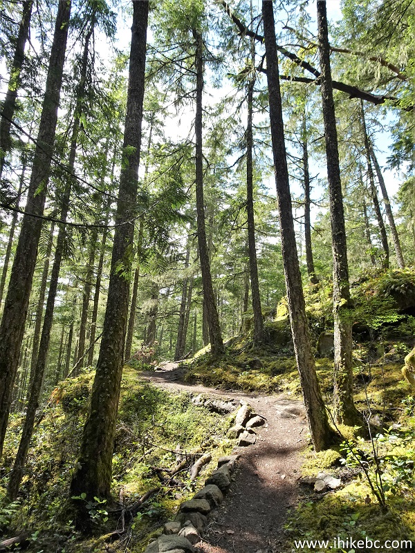
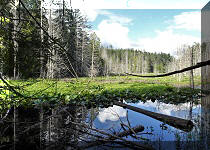
22. A fine-looking forest mini-swamp.
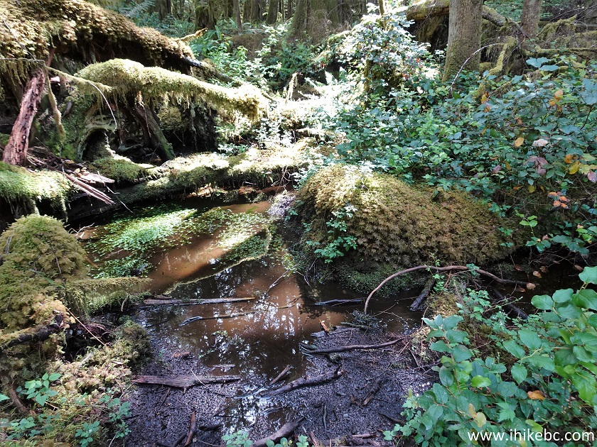
Hidden Grove Park
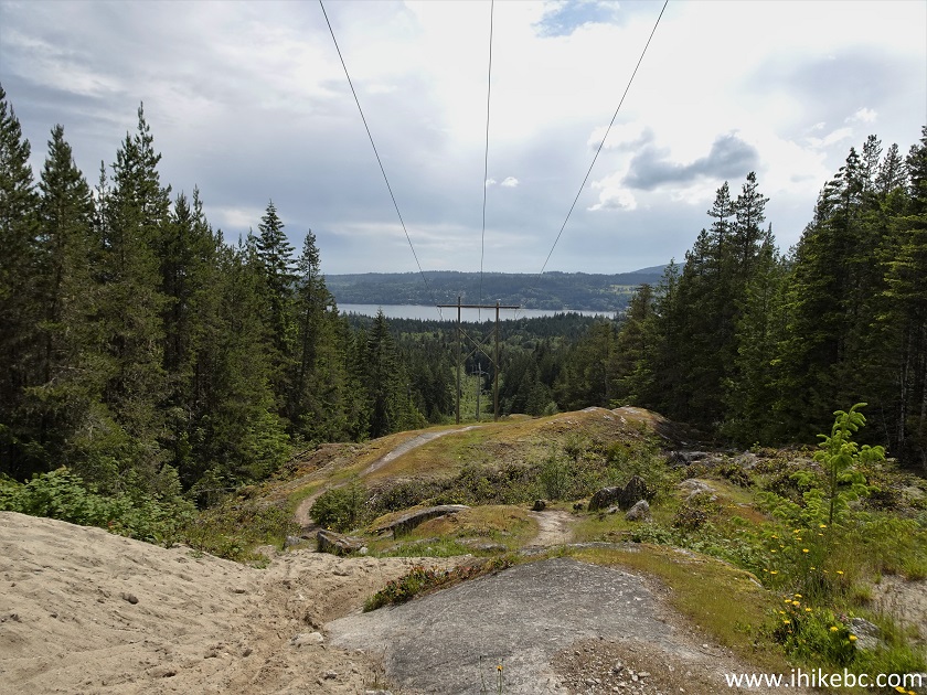
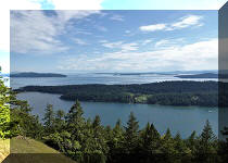
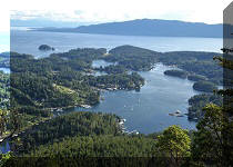
23. Approaching the only decent viewpoint in Hidden Grove, located between intersections #8 and #38. Coordinates: N 49°31.708’ W 123°44.903’. Elevation: 210 meters.
District of Sechelt Hidden Grove Park
24-25. Aside from the tree in the middle, this is rather impressive. Left to right.
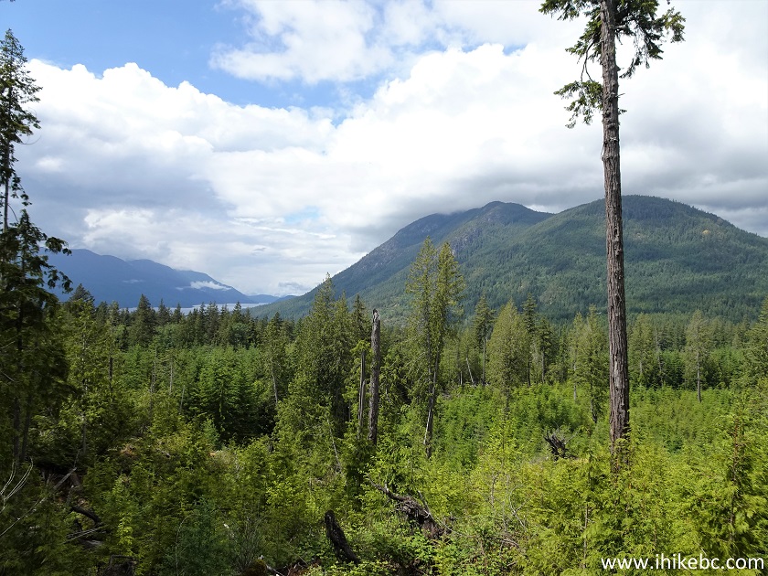
View from Hidden Grove Park Sechelt BC Canada
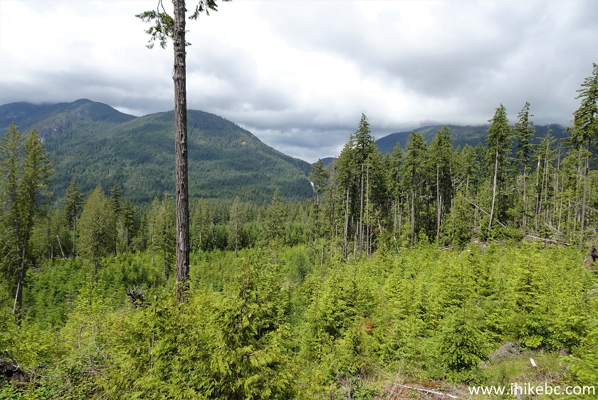
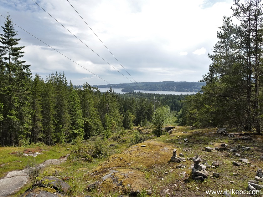
26. A panorama of the place.
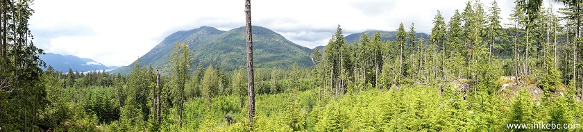
Hidden Grove Park Panorama
Here is our video of the views from this location.
More ihikebc videos are on our YouTube Channel.
27. A bit further, there was this peculiar tree.
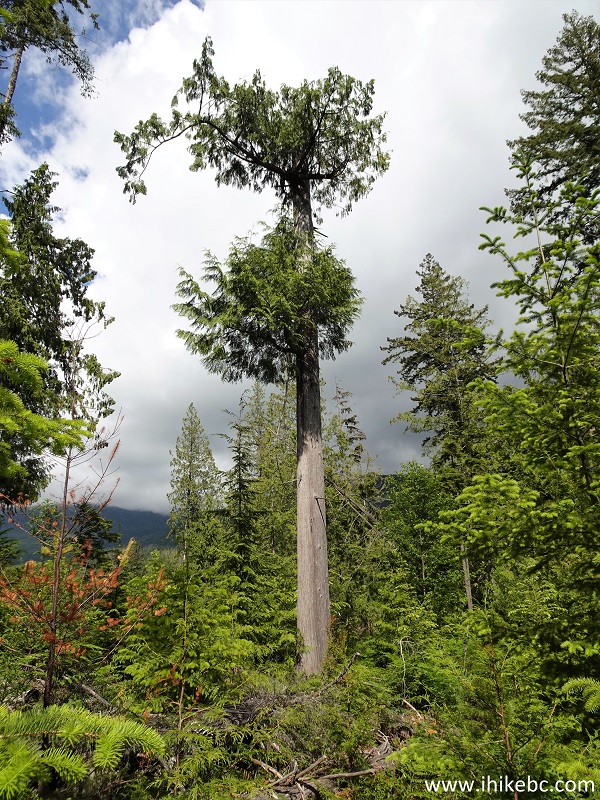
Hidden Grove Park Sechelt BC Canada
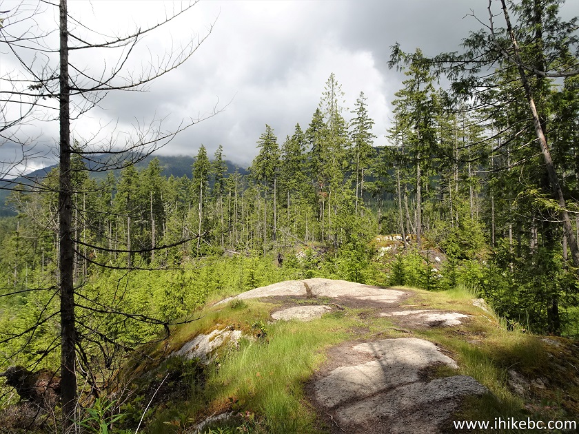
28. Heading towards the third and final viewpoint, located between intersections #38 and #51.
Hidden Grove Park Map
29. The sun was shining straight at us, so we looked the other way for this photograph. It's more of an open area here.
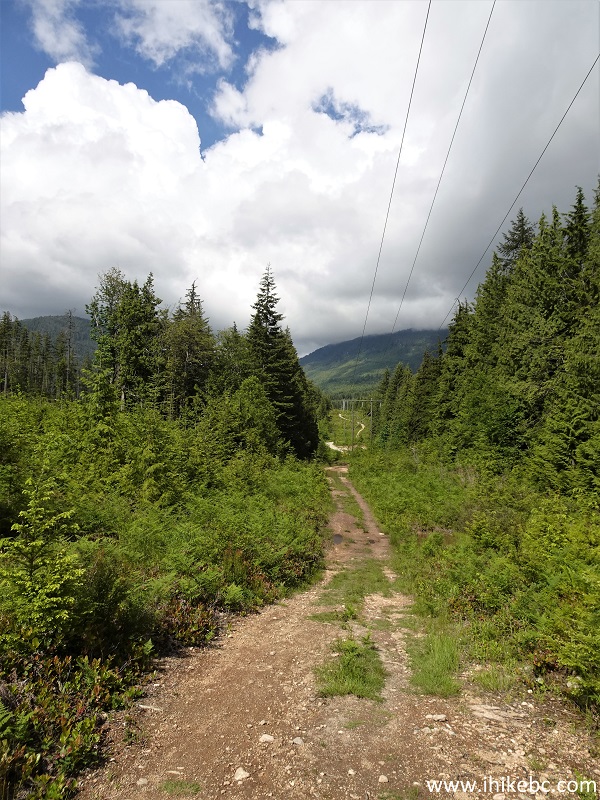
District of Sechelt Hike - Hidden Grove Trail
30. Approaching the final viewpoint.
Hidden Grove Park British Columbia
31. Here it is. Coordinates: N 49°31.493’ W 123°44.936’. Elevation: 180 meters.
Hidden Grove Park - Hiking in Sechelt BC
32. With a bit of a zoom.
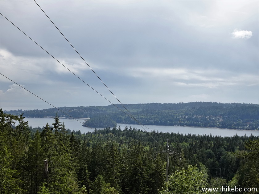
British Columbia
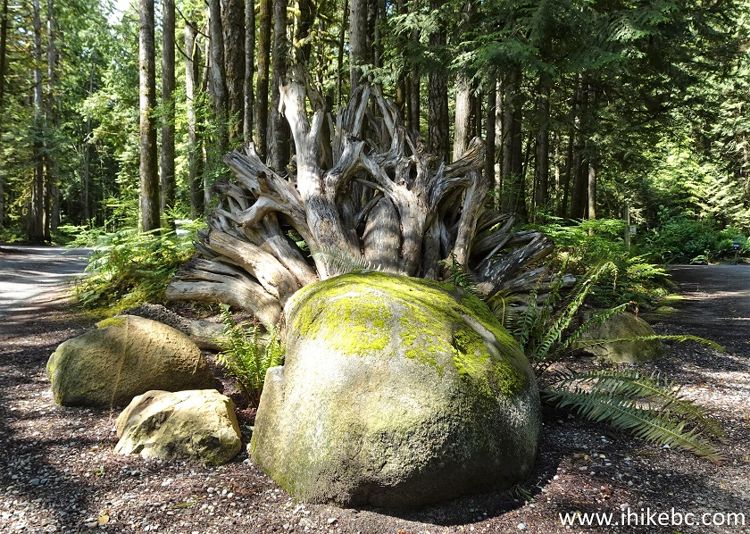
33. We then headed back to the parking lot and found this stump not far from the end of the hike.
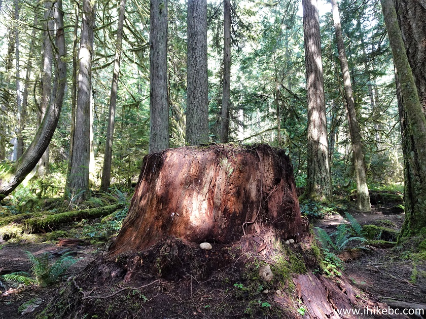
Hidden Grove Park Sunshine Coast British Columbia
34-35. There are also several fine interpretive signs in this area, including this sign explaining what a nurse log is.
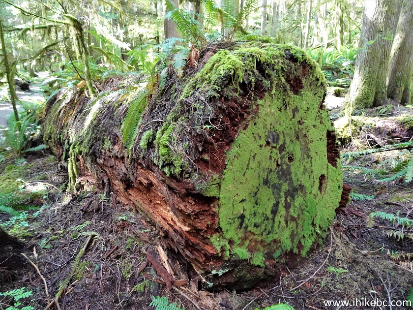
Nurse Log
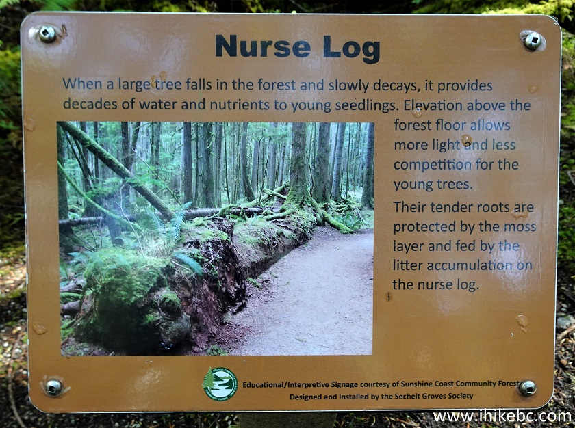
Nurse Log Information Sign
Hidden Grove Park in the District of Sechelt is a pleasant place with a decent view. Recommended.


|
 |
Other Trips on BC Sunshine Coast:
|
|
|
|
|
|
|
|
|
|
|
Other Trips:


![]()


![]()
![]()
![]()
ihikebc.com Trip 256 - Hidden Grove Visit (District of Sechelt BC)