![]()
![]()
![]()

Trip 255 - May 31, 2022 (Tuesday)
Mount Norman Trail Hike
Pender Island BC
Liked:
Fine views from the top, shade in the forest, no bugs, a short and relatively easy trail.Of Note: Some steep sections, uneven ground, rocks and roots, hiking poles and boots are recommended.
Vancouver Island, Victoria & Gulf Islands Backroad Mapbook (9th edition) Trailhead Coordinates: Page 12 (Saturna Island) C3.
Related Websites: Wiki - Pender Island.
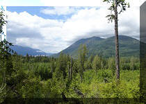
Mount Norman Trail is located on Pender Island, British Columbia, and is inside Gulf Islands National Park Reserve. It's an easy-to-moderately challenging trail, which goes through an unremarkable forest for just under 1.5 km one way, and ends up at a fine, if not spectacular, viewpoint of the ocean and numerous islands. The observation platform even features stationary binoculars, that are, alas, somewhat out of focus, which cannot be adjusted. That said, there is plenty of shade, no bugs, and few hazards. It's a good hike for sure.
Pender Island is serviced by BC Ferries from Tsawwassen and Swartz Bay, as well as from several nearby islands. It's about 10.5 kilometers from the Otter Bay Ferry Terminal to Mount Norman trailhead at Mount Norman Access Road off Canal Road.
All trail distances are based on a GPS odometer and are approximate.
1. Here are Google map directions from Otter Bay Ferry Terminal to Mount Norman Access Road off Canal Road.
2. We are on Canal Road on Pender Island, getting ready to make a right turn onto Mount Norman Access Road.
Canal Road Pender Island BC Canada
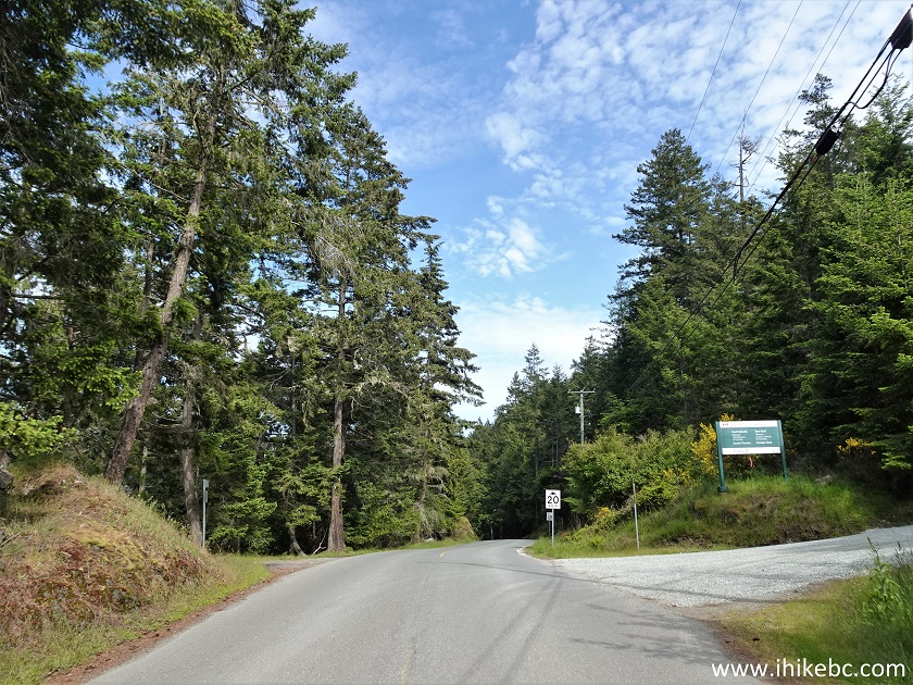
3. Mount Norman Access Road 100 meters after the turn.
Mount Norman Access Road Pender Island British Columbia
4. A large parking lot is located 200 meters from Canal Road.
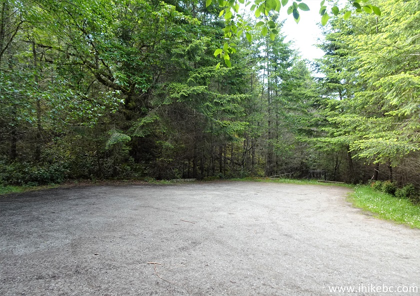
Mount Norman trailhead parking lot
5. The trailhead is right there. Coordinates: N 48°45.463’ W 123°13.737’. Elevation: 85 meters.
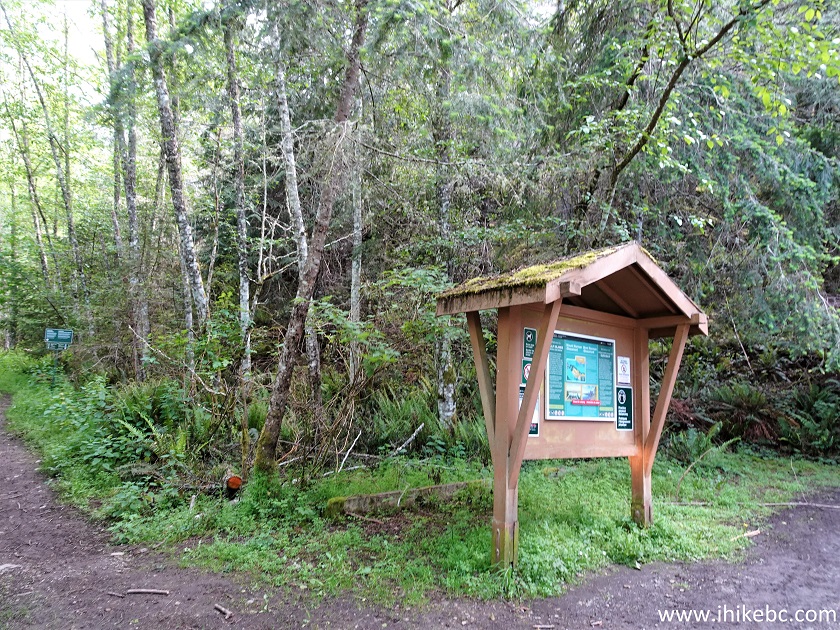
Mount Norman Trailhead Pender Island BC
6. Here is a map of Mount Norman trails. Yes, there is more than one, and we marked our trailhead with a red square. Ignore the "you are here" mark, as we took this photo later in the hike. The other trailhead is on Ainsley Road, and it also leads to Beaumont Trail, which usually has camping opportunities, but it's not allowed as of now. The William Walker Trail, which joins our trail at 900 meters according to the map, is an unknown, as we do not recall any trail splits at 900 meters. The pit toilet shown on the map several hundred meters after the trailhead is still there, but the cabin is gone, so there would be zero privacy, just so you know.
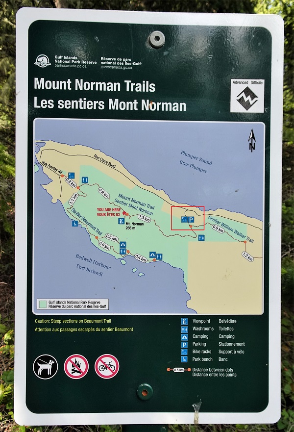
Map of Mount Norman Trails British Columbia
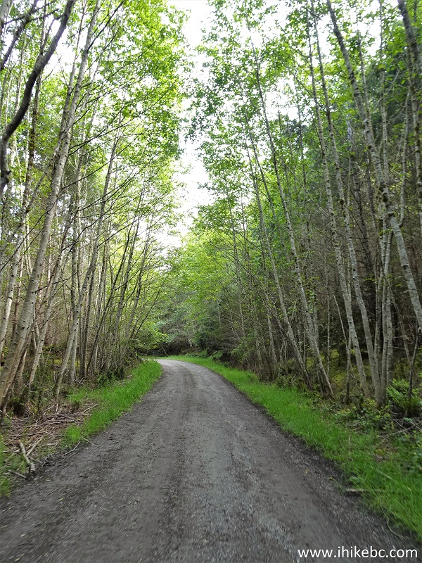
7. Mount Norman Trail begins.
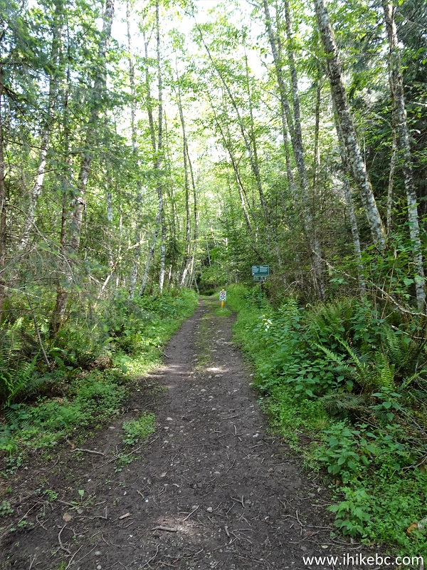
Pender Island Hiking - Mount Norman Trail
8. So, yes, no more camping for a while.
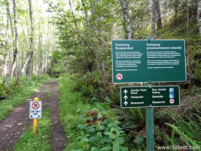
Mount Norman Trail Hike on Pender Island BC Canada
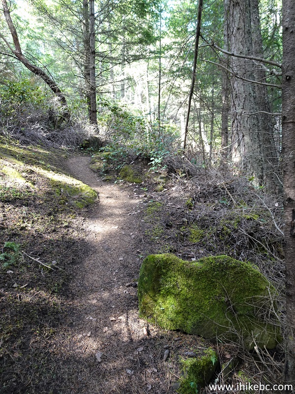
9. Mount Norman Trail on Pender Island at 350 meters.
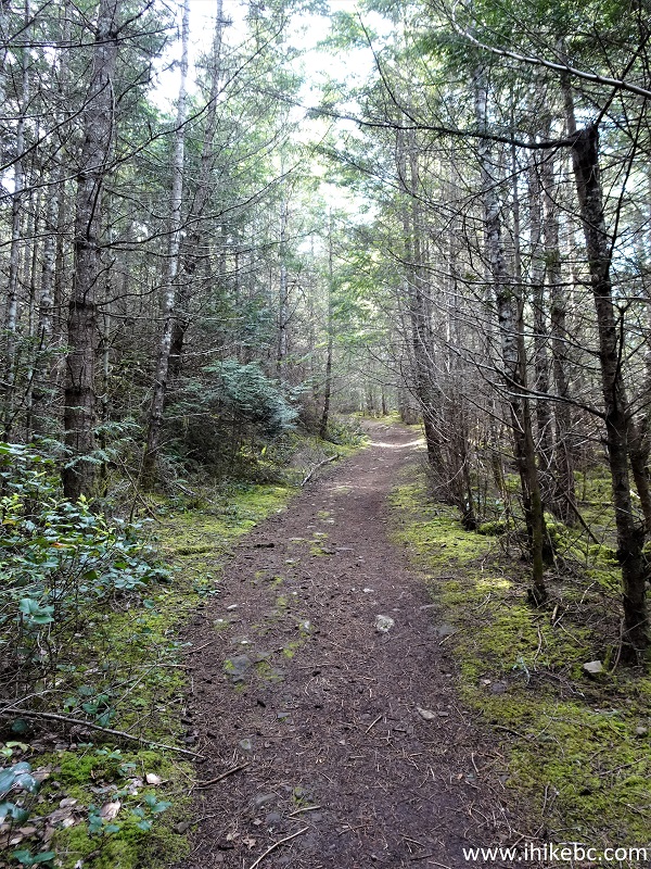
Mount Norman Trail
10. At 800 meters now. This is just about as rough as it gets on this trail.
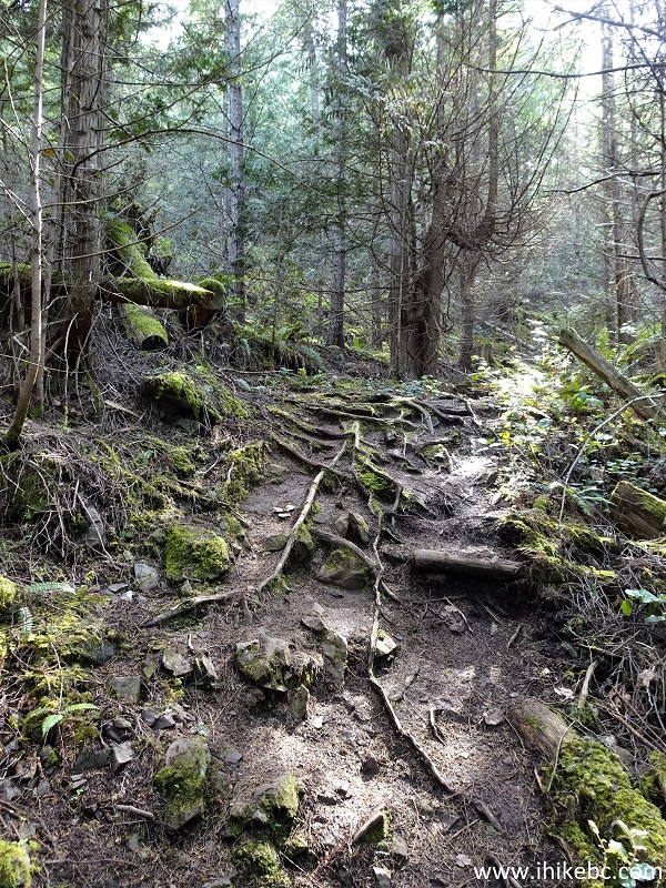
Hike on Pender Island BC - Mount Norman Trail
11. Mount Norman Trail at 980 meters from the parking lot. There is not much to see in this forest.
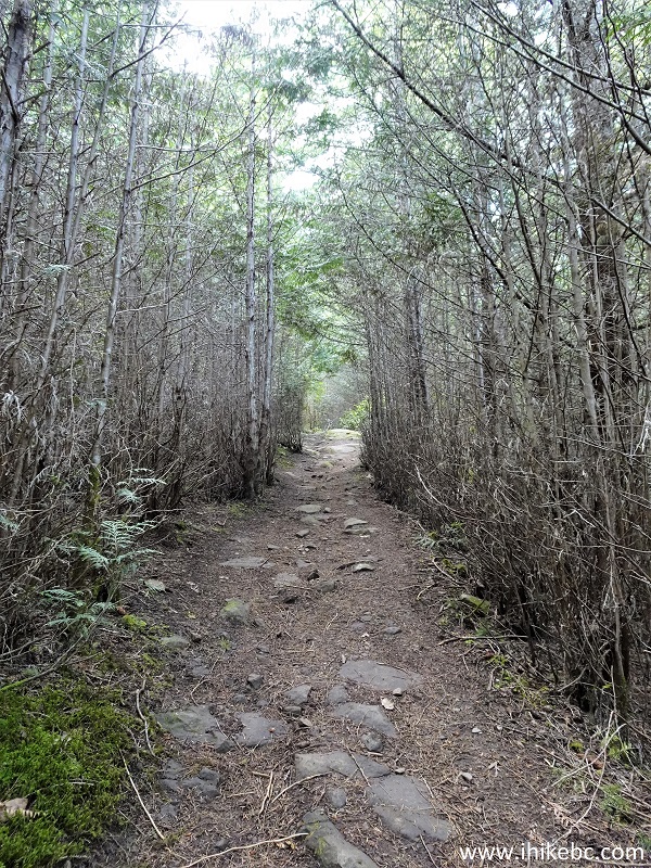
Hike on Sunshine Coast - Pender Island - Mount Norman
12. At 1.32 km, there is a split - go RIGHT.
Mount Norman Trail British Columbia Canada
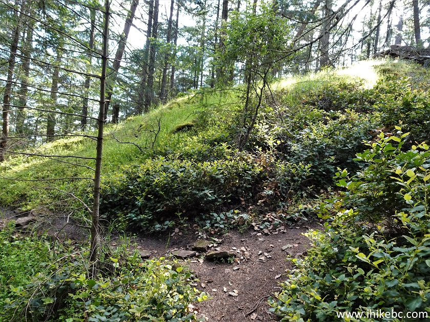
13. Mount Norman Trail on Pender Island at 1.35 km.
Mount Norman Hike on Pender Island BC Canada
14. The second and last split arrives at 1.40 km - go LEFT this time. Going right would likely lead to Ainsley Road trailhead.
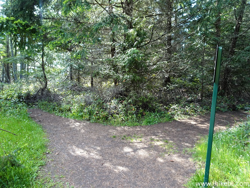
Mount Norman Trail Hike
15. At 1.45 km we are at the end of the trail, with the observation platform straight ahead.
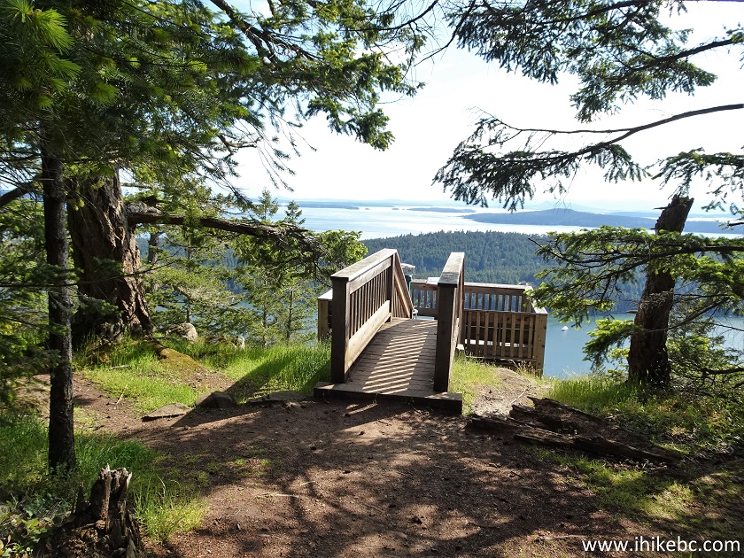
Mount Norman Observation Platform
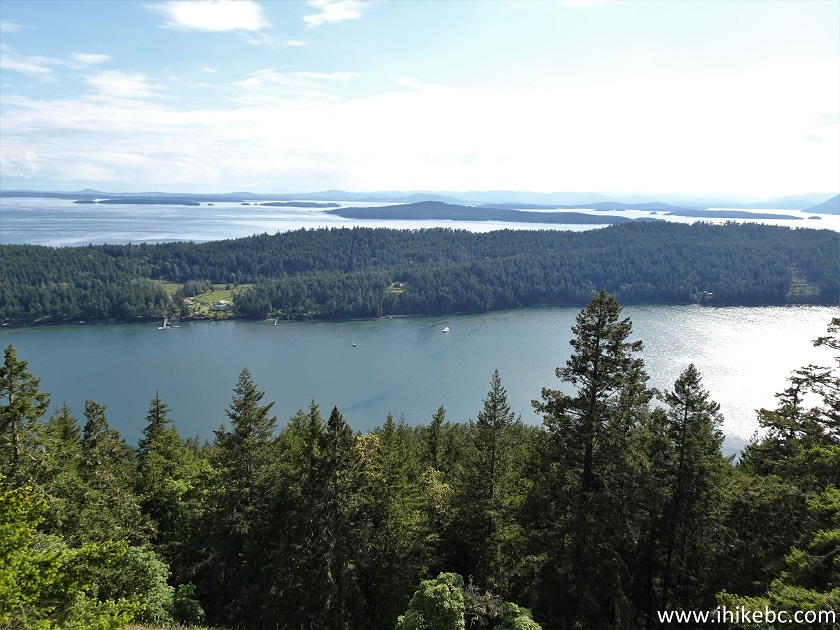
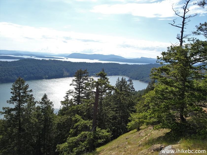
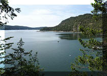
16. A view from the platform. Coordinates: N 48°45.523’ W 123°14.461’. Elevation: 244 meters.
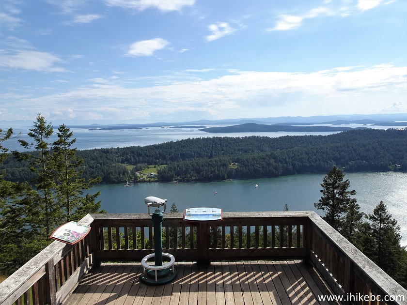
Observation Platform Mount Norman Pender Island BC Canada
17. Information about the place.
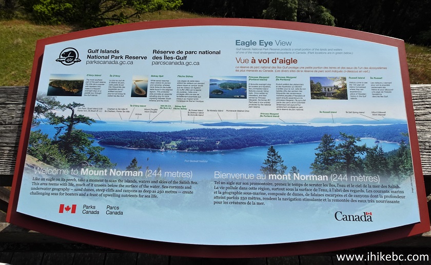
Mount Norman Information Board
18-20. We then went in front of the platform for a better look, and here are the views left to right.
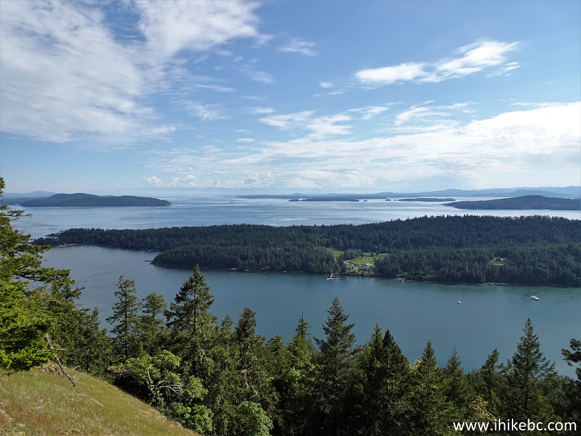
View from Mount Norman on Pender Island BC
21. Now a panorama.
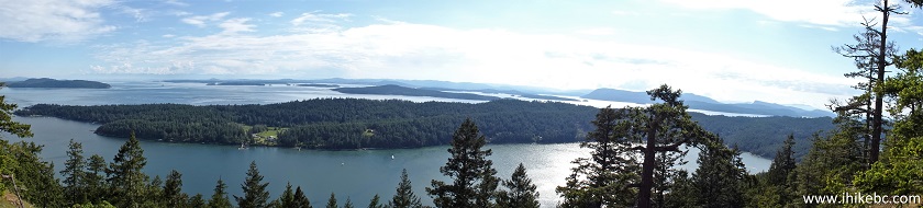
Panorama from the top of Mount Norman Pender Island BC
Here is our video of
the views from this location.
More ihikebc videos are on our YouTube Channel.
Mount Norman Trail is a short and relatively easy hike leading to a fine view. Recommended.


|
 |
Other Trips:


![]()


![]()
![]()
![]()
ihikebc.com Trip 255 - Mount Norman Trail Hike (Pender Island BC)