![]()
![]()
![]()

Trip 258 - June 17, 2022 (Friday)
Francis Point Provincial Park Visit
North of Sechelt BC
Near Madeira Park (BC Sunshine Coast)
Liked: Several fine shoreline views, a small automated lighthouse, shade in the forest, no bugs, a fine view from a bridge en route to the park.
Of Note: The second half of the trail has no tree cover, the park is popular, unbarricaded drop-offs at some viewpoints, uneven ground, rocks and roots, hiking poles and boots are recommended.
Vancouver, Coast & Mountains Backroad Mapbook (5th edition) Park Coordinates: Page 9 (Sechelt) A2.
Related Website: Francis Point Provincial Park - BC Parks Official Website.
Francis Point Provincial Park features a short easy trail (less than 1.5 km one way), which goes along the shore of Francis Bay, and has fine views of the shoreline. We relied on our automotive GPS to get to the park, and it directed us to the end of Francis Peninsula Road, where a sign stated that the park entrance is located off Merrill Road. Interestingly enough, there are no signs at all directing you to the park, and certainly no sign at the intersection of Francis Peninsula and Merrill Roads. But now we know.
The hike is short and easy, the views are good, and a small climbable lighthouse makes it and even more interesting outing.
All trail distances are based on a GPS odometer and are approximate.
1. Here is a Google Maps location of Francis Point Provincial Park.
2. We are on BC Sunshine Coast, Northbound on Highway 101, approximately 14 kilometers before making a left turn onto Francis Peninsula Road.
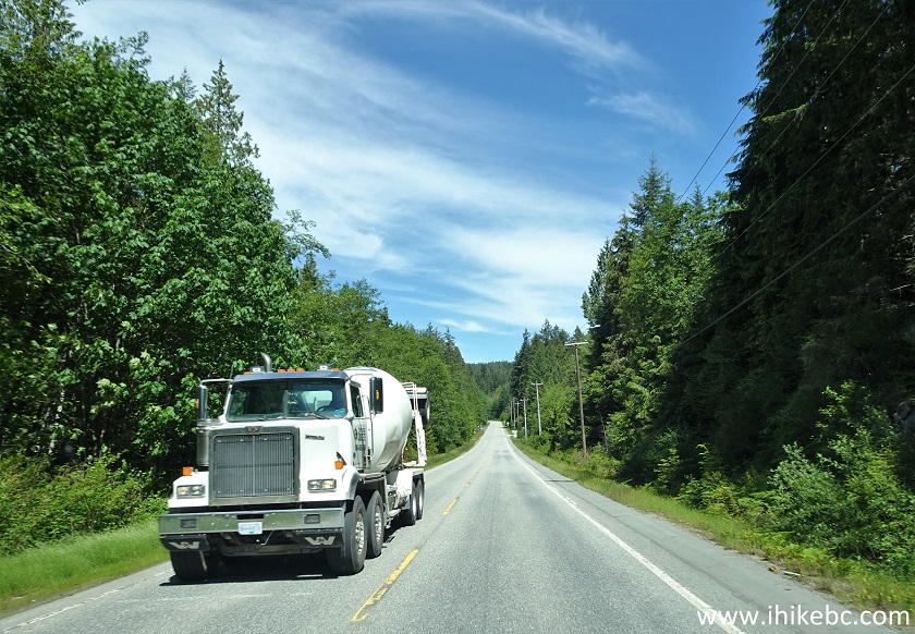
BC Highway 101 North of Sechelt - BC Sunshine Coast
3-4. Making a left turn from BC Highway 101 onto Francis Peninsula Road. This is an unincorporated community of Madeira Park, approximately 30 km North of Sechelt. It's 3.9 km from here to Francis Point Park parking lot and trailhead.
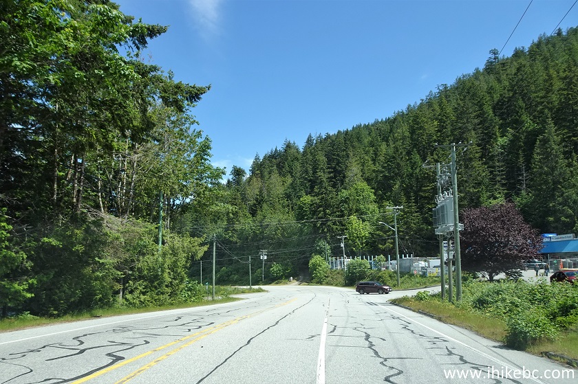
BC Highway 101 in Madeira Park
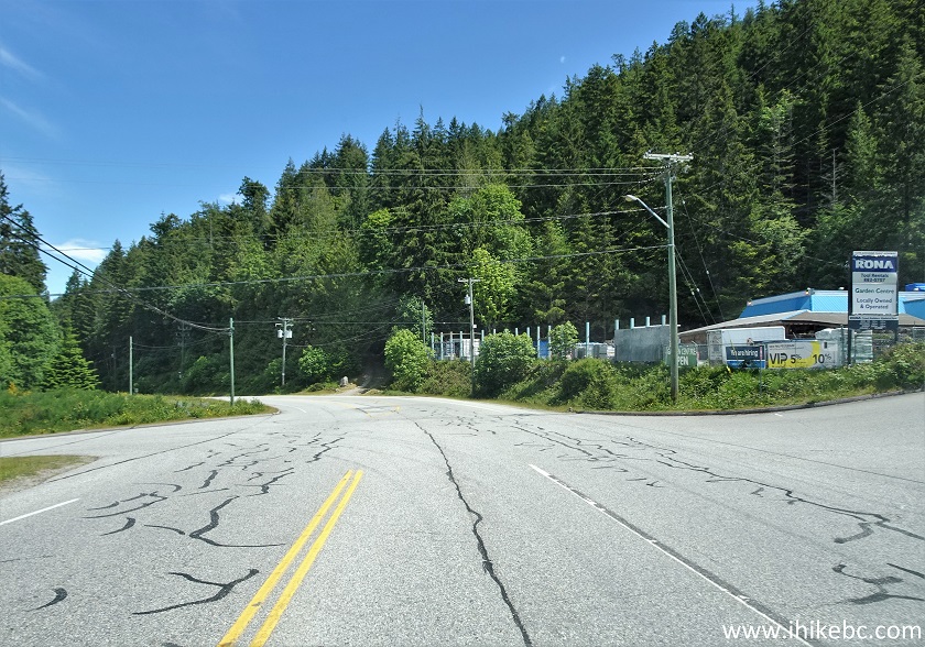
BC Highway 101 at Francis Peninsula Road
5. Driving on Francis Peninsula Road.
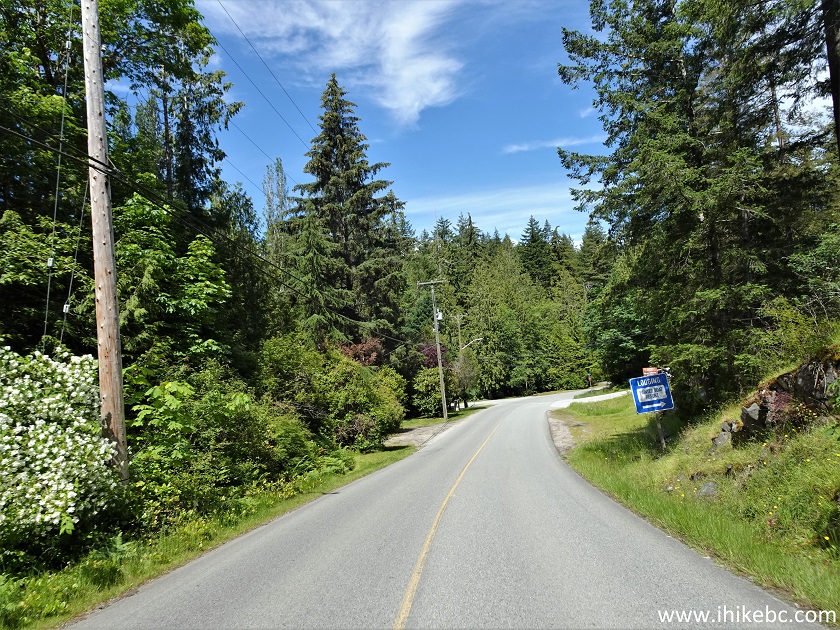
Francis Peninsula Road - Madeira Park - BC Sunshine Coast
6. At 1.4 km from Highway 101, there is this bridge...
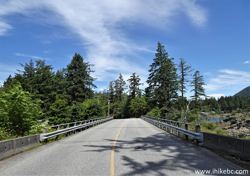
Bridge on Francis Peninsula Road in Madeira Park BC Canada
7...with a fine view on the right side. There are pullouts on both sides of the bridge. Beware of traffic, as it is surprisingly substantial on this road.
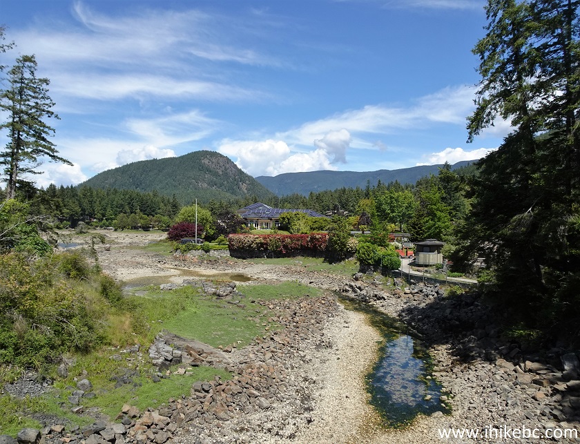
Madeira Park British Columbia Canada
8-9. About 2.2 km after the bridge, make a left turn onto Merrill Road.
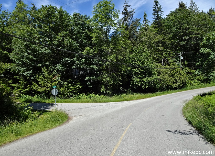
Francis Peninsula Road at Merrill Road
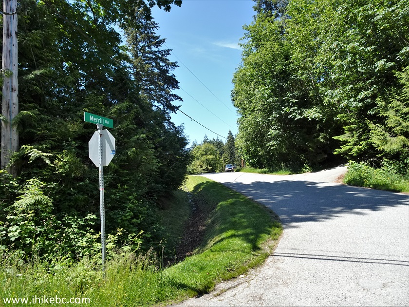
Merrill Road Madeira Park BC
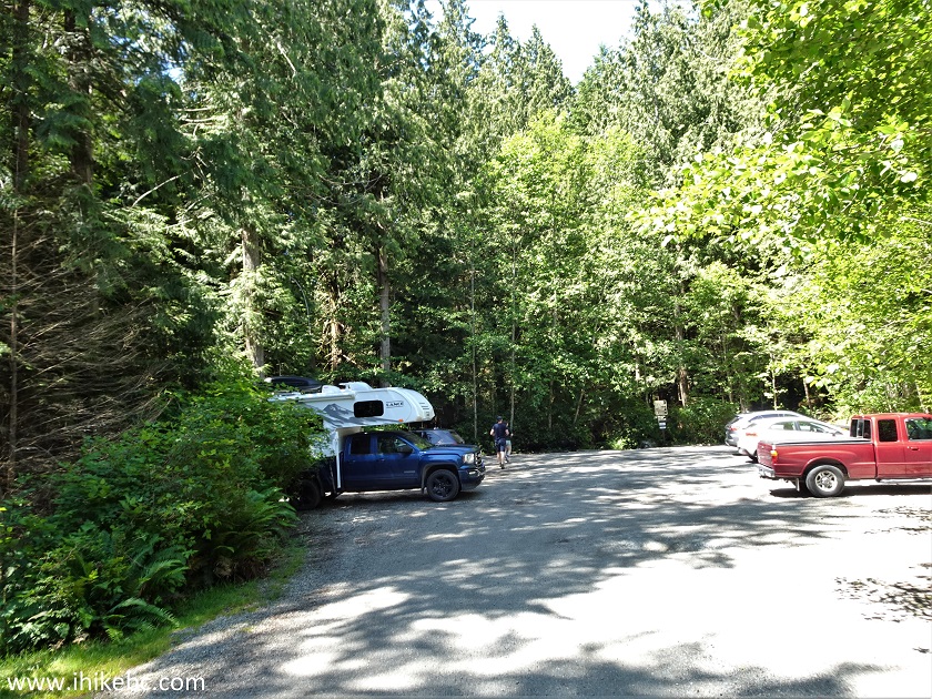
10-11. 300 meters later, a rather small parking lot for Francis Point Provincial Park would be on the right side. Coordinates: N 49°36.753’ W 124°03.291’. Elevation 40 meters. There is a pit toilet here, as well as a defibrillator, but no garbage can.
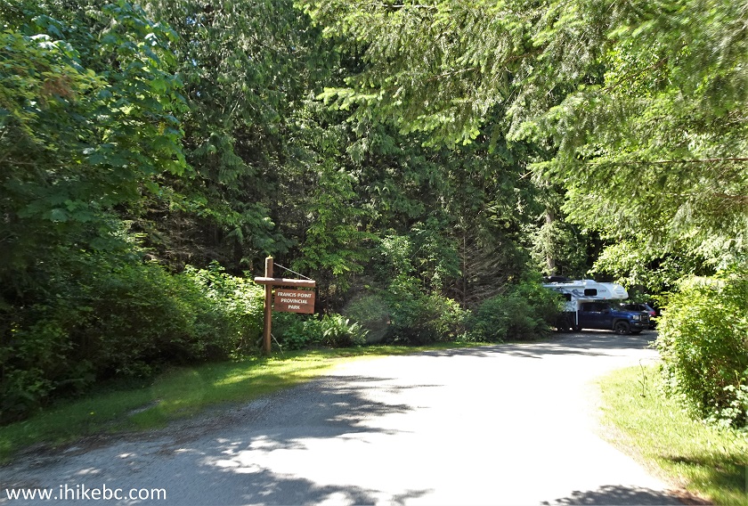
Francis Point Provincial Park Entrance off Merrill Road BC Sunshine
Coast
Francis Point Provincial Park Parking Lot
12. The trailhead is at the end of the parking lot.
Francis Point Trailhead Madeira Park BC
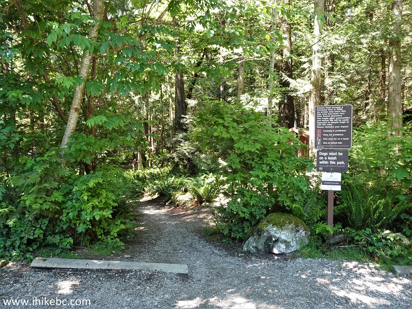
13-14. Here is some information about Francis Point Provincial Park.
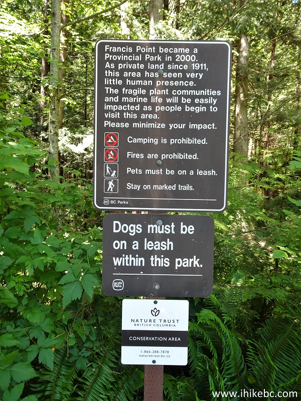
Francis Point Provincial Park Rules
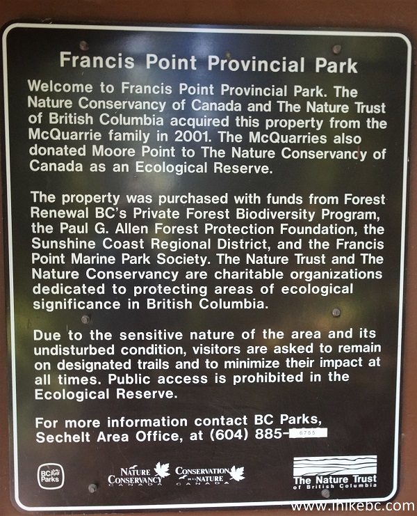
Francis Point Provincial Park History
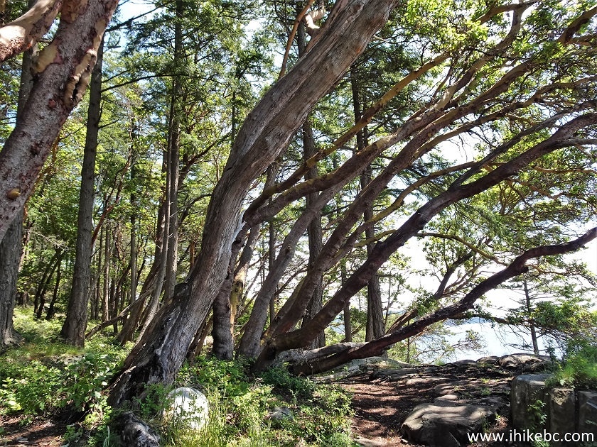
15. Francis Point Trail at 90 meters from the trailhead. It's a pleasant walk through the trees at this point.
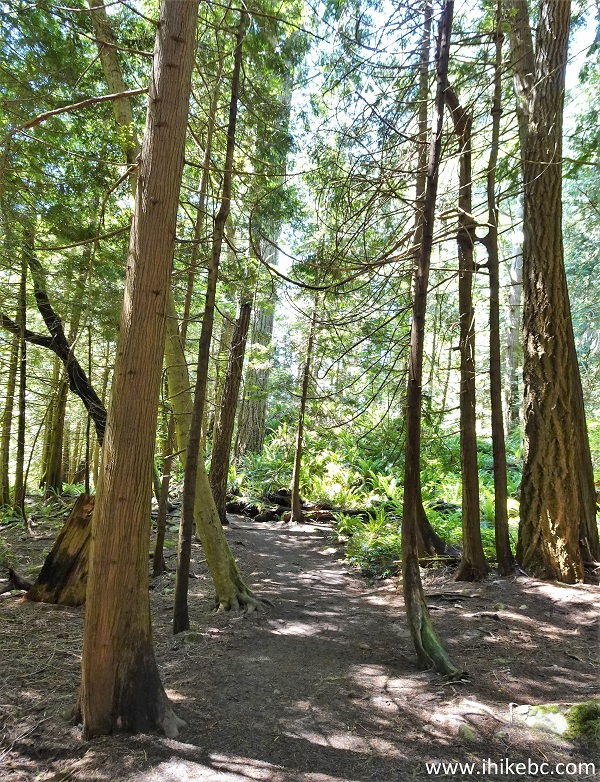
BC Sunshine Coast Hiking - Francis Point Trail
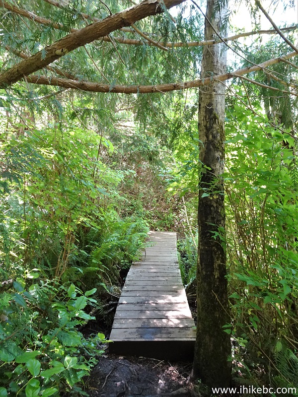
16. A boardwalk at 250 meters.
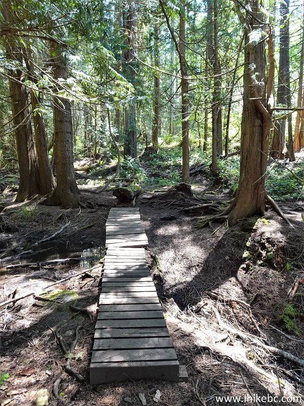
Francis Point Hike - Francis Point Provincial Park - British Columbia -
Canada
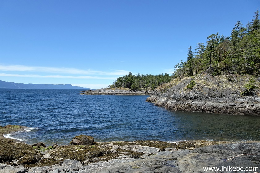
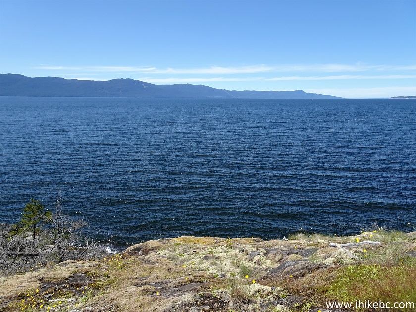
17. And, at 310 meters, a good view of Francis Bay. Apparently, there is a short trail on the right side leading to a viewpoint, but we did not see that trail, and proceeded on the main trail to the left.
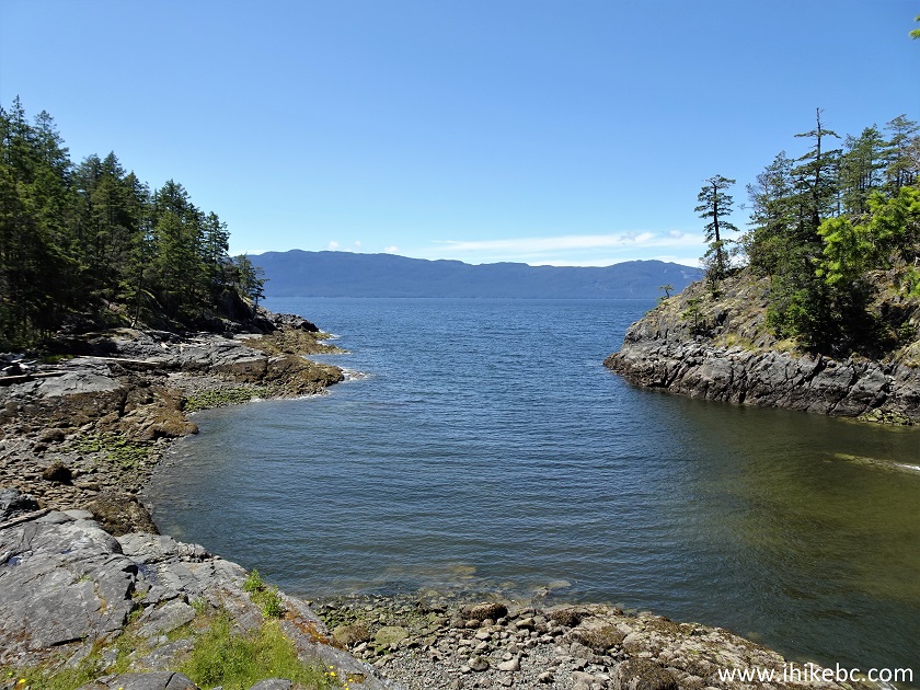
Francis Bay
18. Another boardwalk at 360 meters from the parking lot.
Francis Point Trail - British Columbia Hiking
19. Looking right shortly thereafter.
Francis Bay British Columbia Canada
20. More pleasant hiking in the forest follows. At 750 meters here.
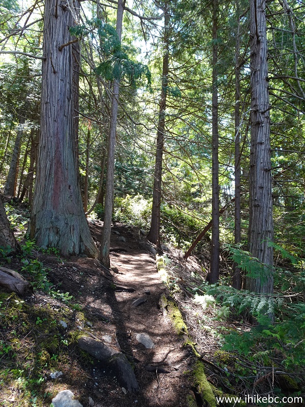
Francis Point Hike in Francis Point Provincial Park British Columbia
Canada
21. Soon after that, the trail leaves the forest and we are in the open, sun and all.
Francis Point Provincial Park
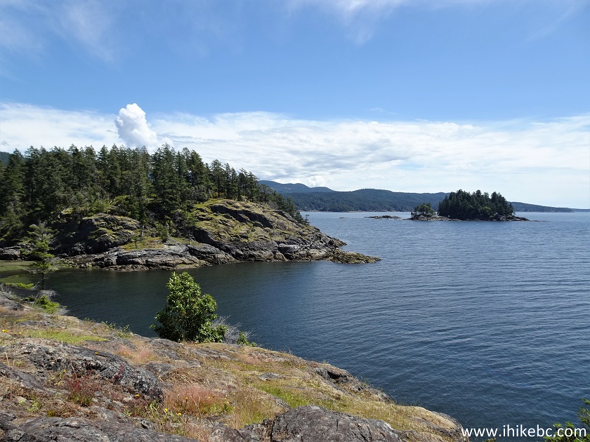
22. Good views all around.
Francis Bay
23. Looking back.
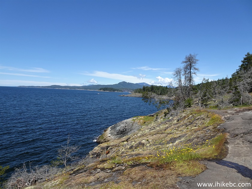
Francis Point Provincial Park near Sechelt BC Canada
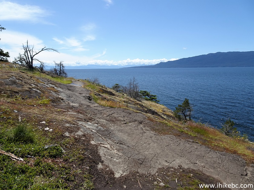
24. The path continues. At 1.10 km here.
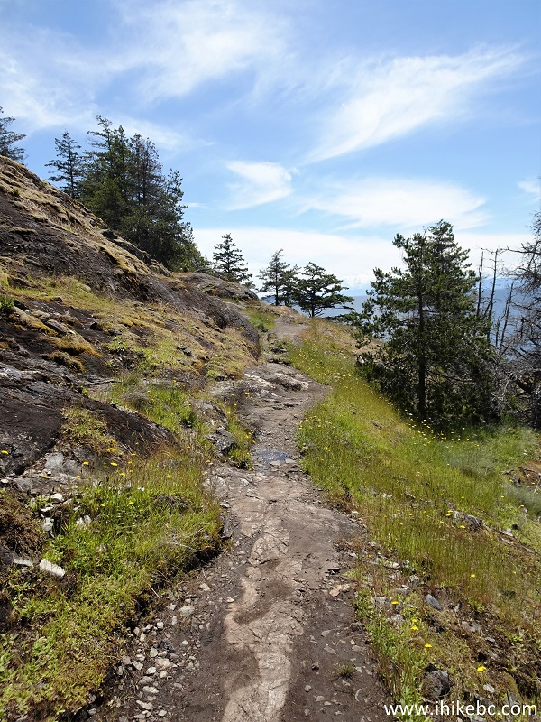
Francis Point Trail near Madeira Park BC
25-26. At 1.14 km, we see a glimpse of a small automated lighthouse, which we visited on the way back.
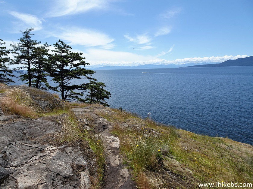
Francis Point Provincial Park - Sunshine Coast - British Columbia Canada
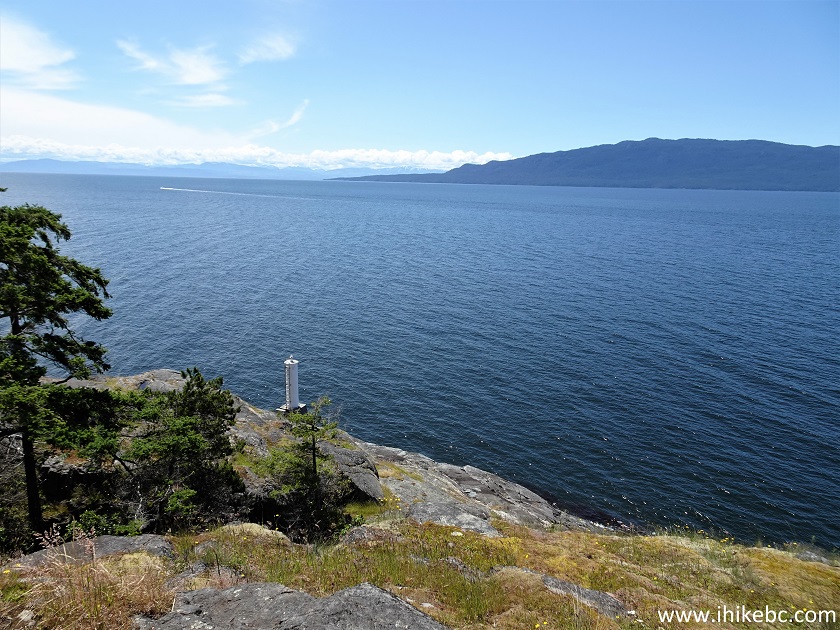
Francis Bay British Columbia
27. Francis Point Trail re-enters the forest for a short while.
Francis Point Trail British Columbia Sunshine Coast
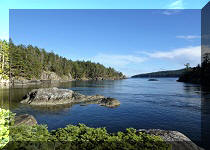
28. And, then, Francis Bay in all of its glory appears yet again. At 1.43 km.
Francis Bay - British Columbia Sunshine Coast
29. Soon after that, we reached the end of the trail, which turned into more of a route, but staying next to the water makes it easy to reach this point. Watch out for drop-offs. Coordinates: N 49°36.194’ W 124°03.358’. Elevation: 30 meters.
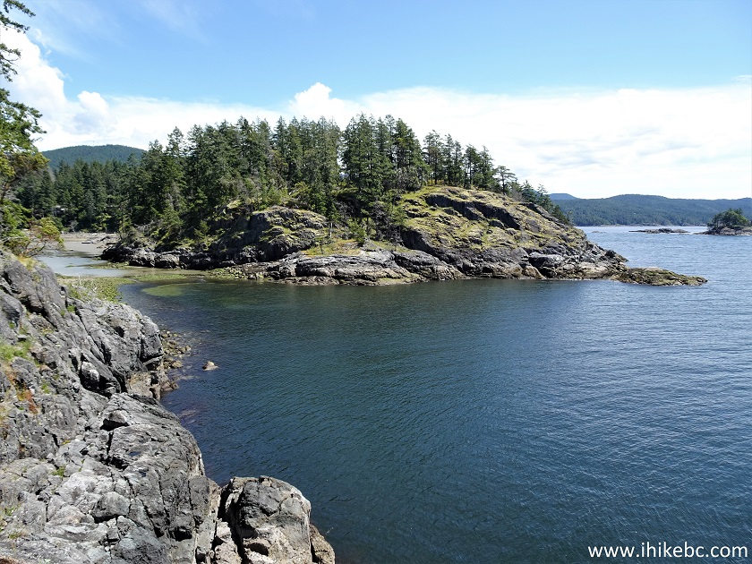
Francis Bay BC
30. We then returned to the automated lighthouse.
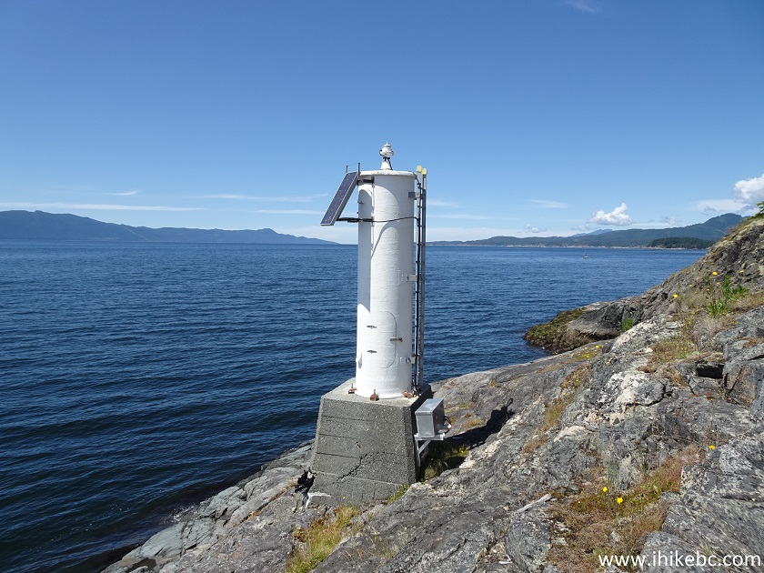
Automated Lighthouse - Francis Point Provincial Park - British Columbia
- Canada
31. Stairs on the side made it easy to climb up.
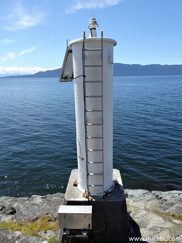
Lighthouse - Francis Bay
32-33. The top of the Francis Point lighthouse.
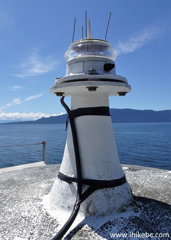
Francis Bay Lighthouse
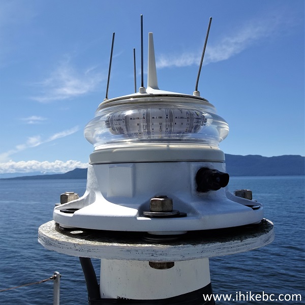
Top of an automated lighthouse
Francis Point Provincial Park features a short and easy trail leading to several fine shoreline views and a neat lighthouse. Recommended.


|
 |
Other Trips:


![]()
![]()
![]()
ihikebc.com Trip 258 - Francis Point Provincial Park Visit (BC Sunshine Coast North of Sechelt)