![]()
![]()
![]()

Trip 204 - May 4, 2021 (Tuesday)
Capilano River Regional Park
North Vancouver, BC
Page 2 of 2
Distance from Vancouver: 6.7 km from the South end of Lions Gate Bridge.
Liked: Capilano Lake views, Capilano Canyon views, Cleveland Dam views, smooth and wide forest paths.
Of Note: The park is very popular. Parking could be an issue. The maze of trails can be confusing even with a map.
Vancouver, Coast & Mountains Backroad Mapbook (5th edition) Trailhead Coordinates: Page 11 (North Vancouver) D7.
Related Website: Capilano River Regional Park - Metro Vancouver Official Website.
Capilano River Regional Park is located off Capilano Road in North Vancouver, just North of Capilano Suspension bridge. It's an easy park to get to, and, provided you can find parking on a fairly small (about 50 vehicles) and free lot, the great views are just around the corner. Capilano Lake looks great, and Cleveland Dam, which is powered by Capilano River flowing out of Capilano Lake, is something to behold. There are numerous short intersecting and looping trails in Capilano River Regional Park, which made route finding difficult even with a map. That said, we did eventually figure things out, and ended up at two impressive canyon viewpoints off two of the trails.
The parking issue is mitigated by the availability of public transit running on Capilano Road, and there are also several parking lots located off the main entrance, which would require some hiking to get to the Capilano Lake and Cleveland Dam main viewpoints.
There is also a connecting trail from Ambleside Park, so there is an option of parking there, and then hiking to Capilano River Regional Park.
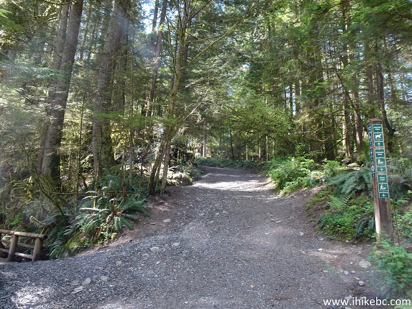
37. At 700 meters, we are at the intersection of Coho Loop Trail (to the right) and Pipeline Trail (to the left). Turning left would also lead to Second Dam Viewpoint, but we turned right to proceed on Coho Loop Trail.
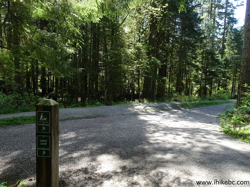
Coho Loop Trail at Pipeline Trail
38. 150 meters later, yet another split. Turn left.
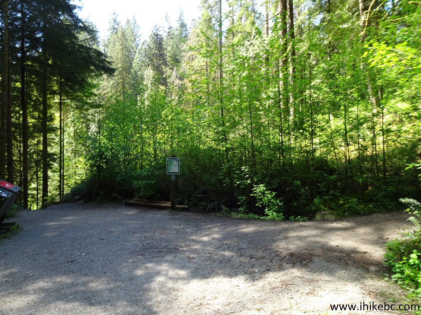
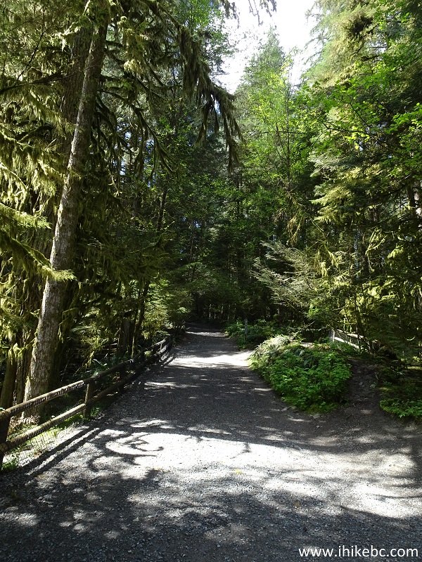
Hiking in Capilano River Regional Park
39. After turning left at the split seen in the photo above, turn right at another split half a minute later. This is still Coho Loop Trail. Yet, it is quite confusing, and we spent a lot of time figuring out which way to go.
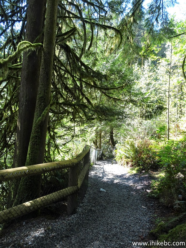
Coho Loop Trail in North Vancouver Area
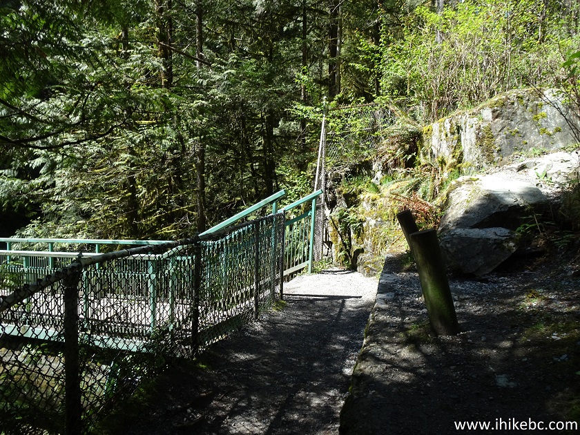
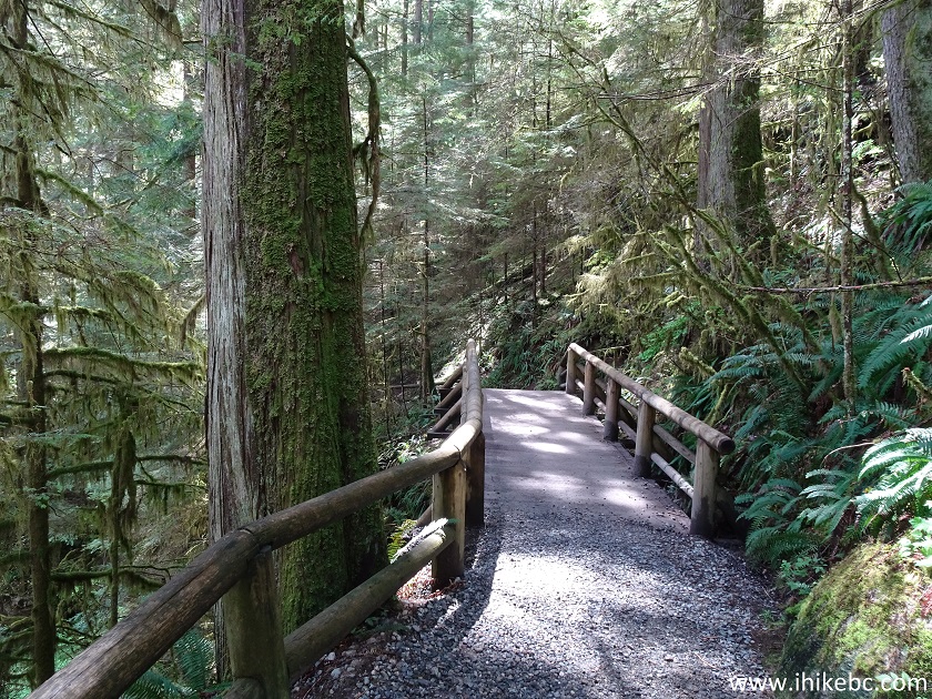
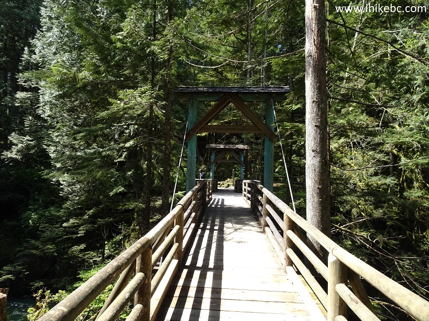
40. You know you are on the right track when, very shortly after making that last turn to the right, you are at the bridge seen below. Coordinates:
N 49⁰21.232' W 123⁰06.774'. Elevation: 60 meters.
Capilano River Regional Park British Columbia Canada
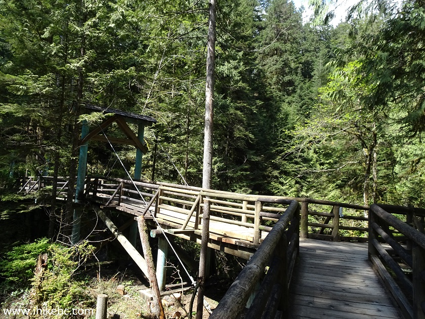
41. This is called Pipeline Bridge, despite being on Coho Loop Trail, but this is where Coho Loop Trail and Pipeline Trail may be running together. And, since it's located in the area where several trails come and go, there was no shortage of fellow hikers crossing it both ways.
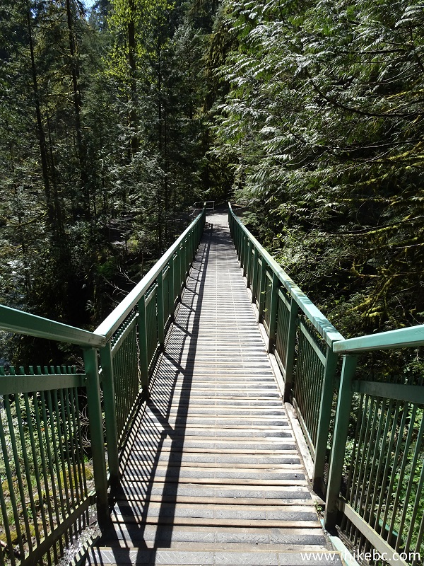
Pipeline Bridge in Capilano River Regional Park
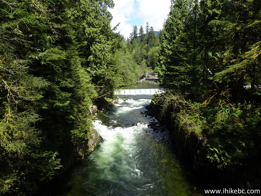
42. The view from the bridge.
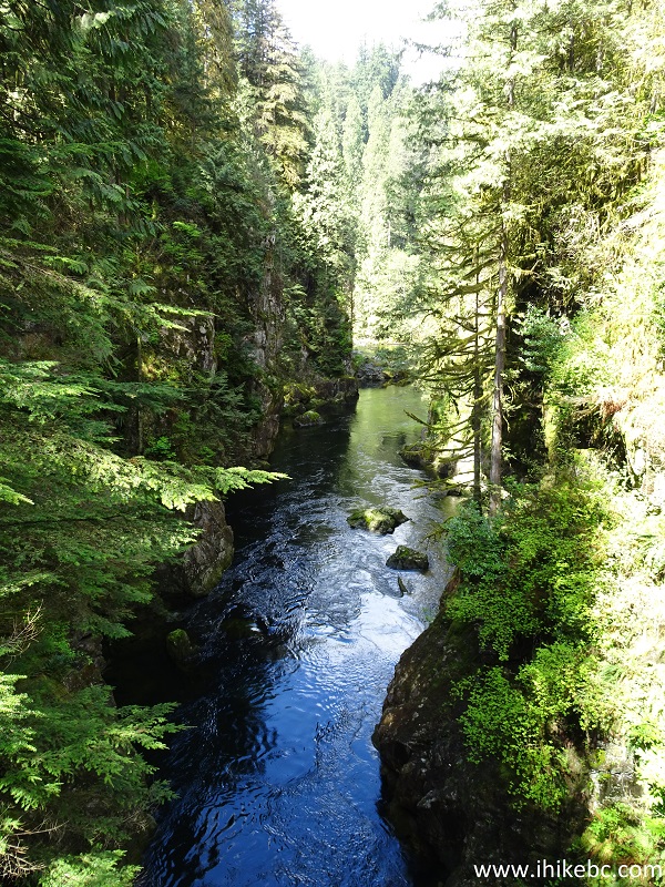
View from Pipeline Bridge
43. Side view of Pipeline Bridge after we have crossed it.
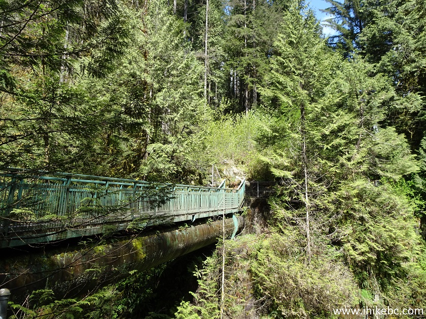
Capilano River Regional Park - Pipeline Bridge Side View
44. One of the highlights of this hike was that we finally managed to take a photo of a hummingbird, right by the bridge. They usually don't stick around, but this one did just long enough.
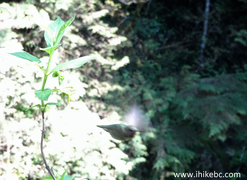
Hummingbird in Capilano River Regional Park
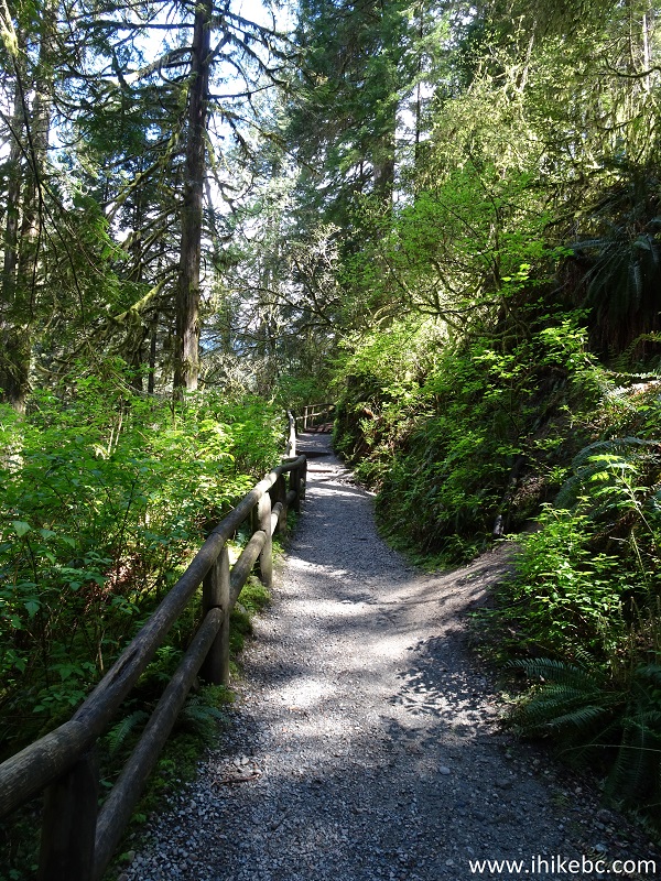
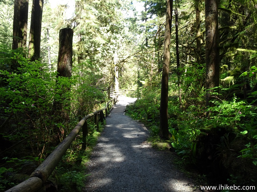
46. The trail after the bridge.
Trail in Capilano River Regional Park
45. Very shortly, there is a 3-way split. Straight ahead is Pipeline Trail. To the right is Chinook Trail, which more or less parallels Pipeline Trail before it joins it at a later point. And, to the left, is the continuation of Coho Loop Trail.
Capilano River Regional Park North Vancouver Area
46. Coho Loop Trail immediately after we turned left.
Coho Loop Trail - Hiking in North Vancouver Area
47. The wooden fencing looks very natural in this park.
Wooden Fencing in Capilano River Regional Park
48. At about 2.1 km, yet another split. To the right is Capilano Park Road to public bus (800 meters).
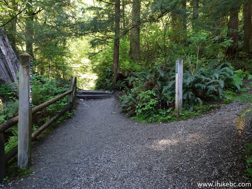
Coho Loop Trail at Capilano Park Road
49. Two hundred meters later, to the right is a short staircase to a parking lot, while a bit forward and to the left is a Cable Pool observation area. Coordinates:
N 49⁰21.280' W 123⁰06.644'. Elevation: 59 meters.
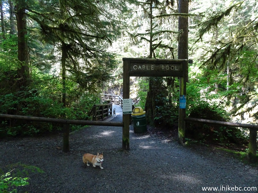
Cable Pool Area Capilano Regional Park
50. Walking towards the small observation deck.
Capilano Regional Park - Cable Pool Area
51. Nice.
View from Cable Pool Area in Capilano Regional Park
Here is Our Video of the Views from the Cable Pool Area.
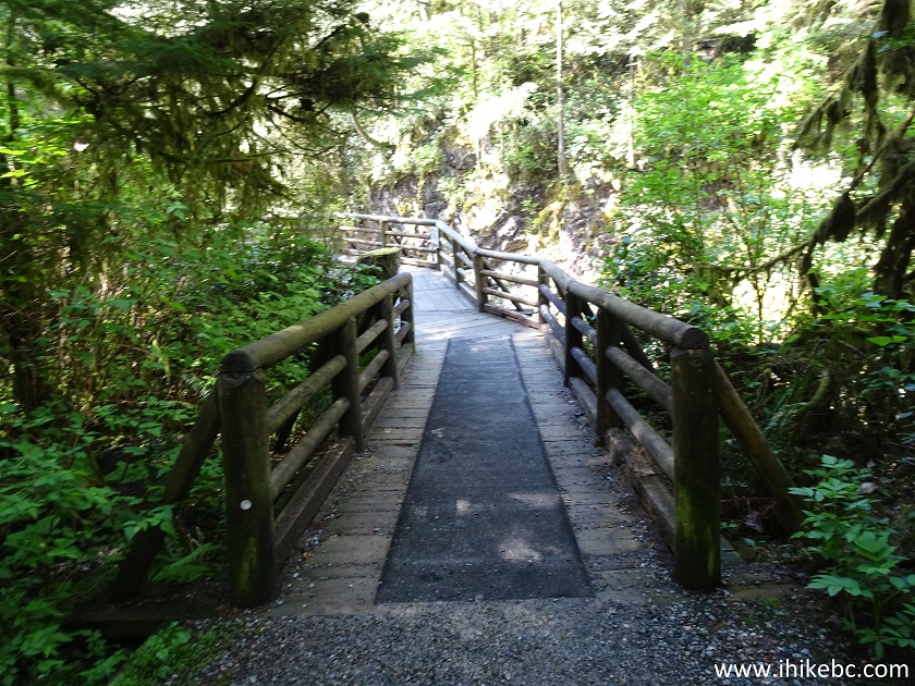
52. Now heading towards the bridge seen in the photo above.
Coho Loop Trail - Hiking in Capilano River Regional Park North Vancouver
BC
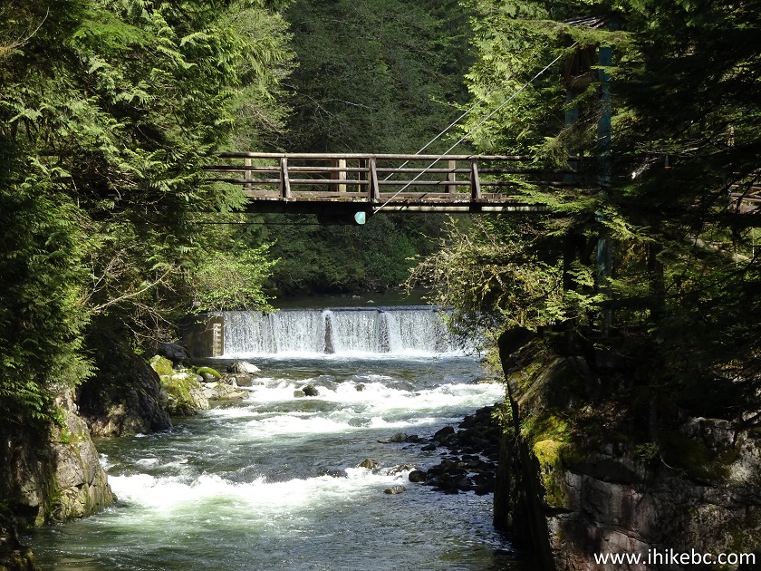
53. Approaching the bridge.
Capilano River Regional Park
54. Here it is.
Wooden Bridge in Capilano River Regional Park
55. The view is just as good.
River View from a Bridge in Capilano River Regional Park
56. Zooming in.
Capilano River Regional Park British Columbia Canada
57. We went across the bridge and reached a T-junction. To the left is the continuation of the Coho Loop Trail. To the right is a trail to Second Canyon Viewpoint. We turned right.
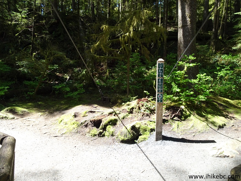
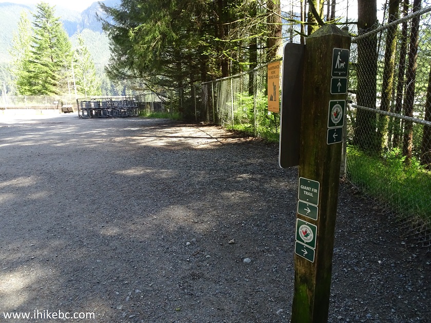
58. Shortly thereafter, we are on Giant Fir Trail, at the area where we would have ended up had we taken the stairs seen in photo #35.
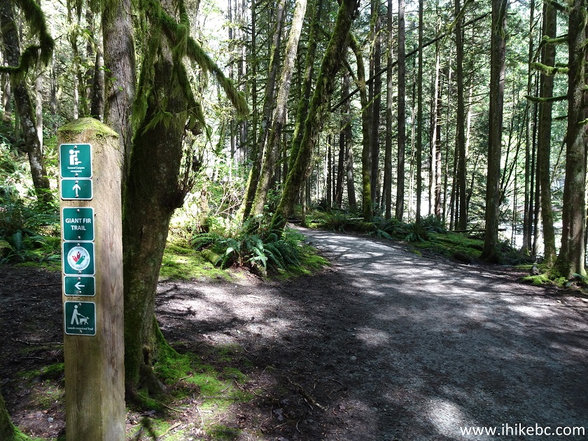
Giant Fir Trail
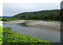
59. Very soon, we are approaching Second Canyon Viewpoint.
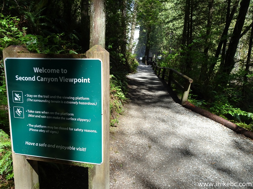
Capilano River Regional Park
60. Entering the observation deck. Coordinates: N 49⁰21.492' W 123⁰06.684'. Elevation: 65 meters.
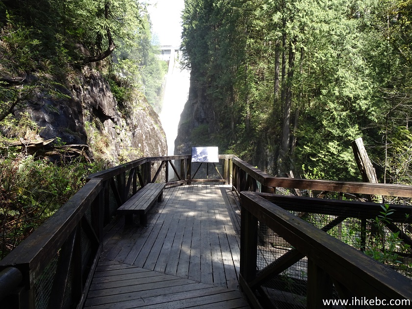
Second Canyon Viewpoint Observation Deck - Capilano River Regional Park
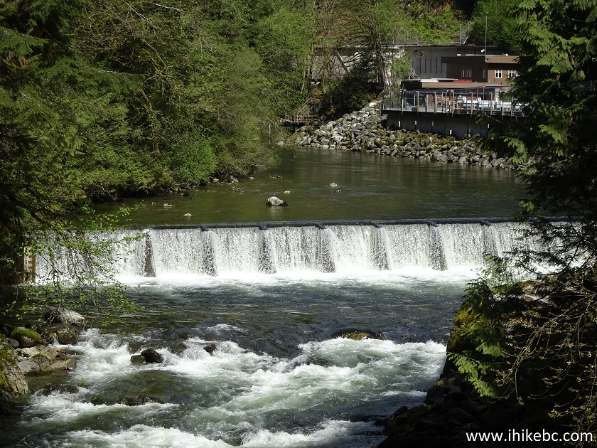
62. Quite a view, with a roaring Cleveland Dam spillway in the background.
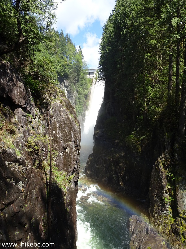
Second Canyon Viewpoint - Capilano River Regional Park
63. And a rainbow to boot.
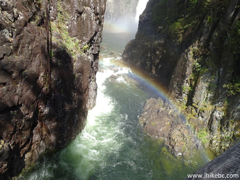
Rainbow Above Capilano River
64. Looking downstream, a small waterfall and a hatchery in the background.
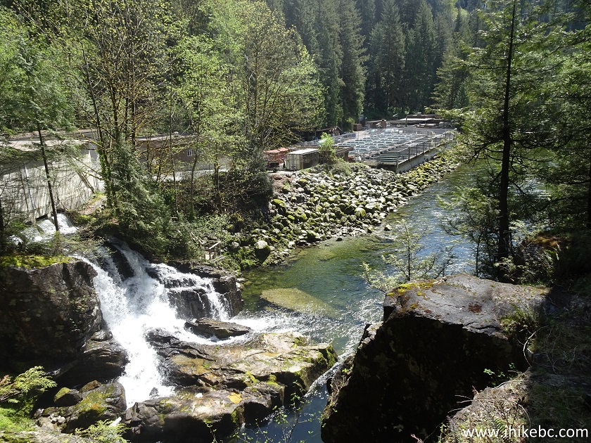
Capilano River
Here is Our Video of the Views from the Second Canyon Viewpoint.
More ihikebc videos are on our YouTube Channel.
65. We then headed back on Giant Fir Trail.
Capilano River Regional Park North Vancouver Area British Columbia
Canada
66. Reached the split with Giant Fir Trail heading to the right (to those aforementioned stairs), and turned left to go on Pipeline Trail.
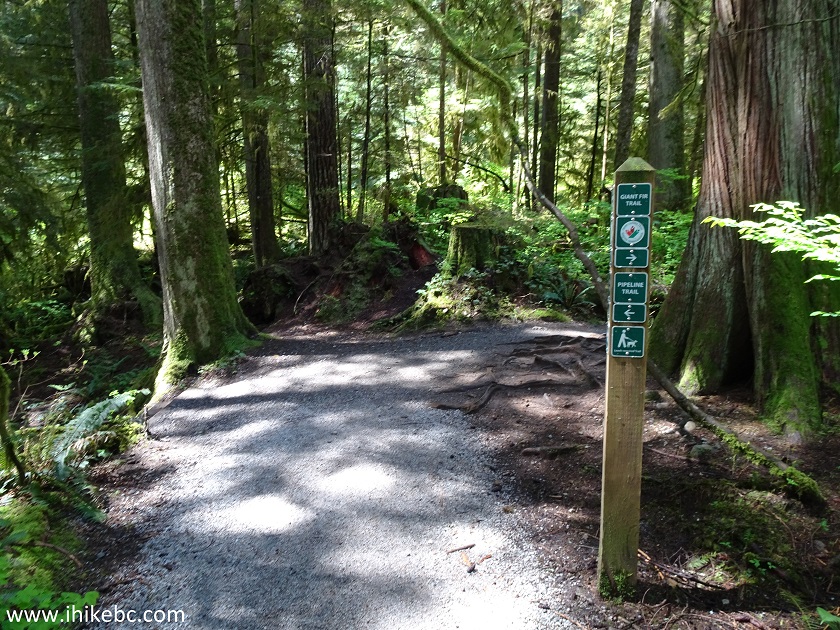
Giant Fir Trail at Pipeline Trail
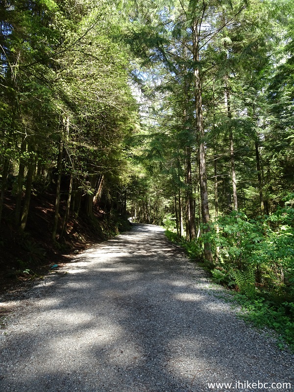
67. A neat straight stretch of a few hundred meters long.
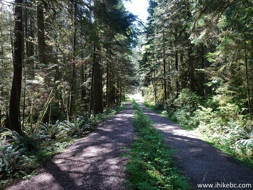
Pipeline Trail Capilano River Regional Park
68. And now we are at the same intersection with Coho Loop Trail as seen in photo #37. Going straight here would lead to the split seen in photo #38 in about a hundred meters, but we turned right to go uphill on West Service Road towards the Giant Fir Trail trailhead.
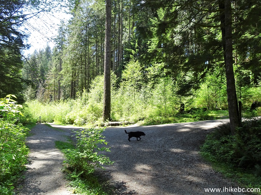
Pipeline Trail at Coho Loop Trail
69. Uphill we go.
West Service Road Capilano River Regional Park
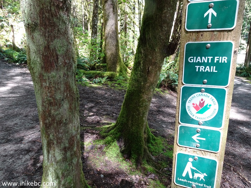
70. And we are back at the Giant Fir Tree trailhead, seen in photo #30 from the other side.
Capilano River Regional Park British Columbia Canada
Despite the confusing network of intersecting trails, Capilano River Regional Park features great views of the dam, lake, river, and canyon, as well as very pleasant forest paths. Highly recommended.


|
 |
Other Trips in North Vancouver Area:
|
|
|
|
|
|
|
|
|
|
|
|

Other Trips:


![]()
![]()
![]()
ihikebc.com Trip 204 - Capilano River Regional Park (North Vancouver BC) Page 2 of 2