Trip 316 - July 11, 2024 (Thursday)
Lynn Lake Route Hike
Lynn Headwaters Regional Park
Near North Vancouver, BC
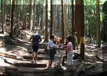
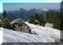
Liked: Fine creek and forest scenes, several views of small mountains, shade in the forest, no bugs (except some by the lake), several small waterfalls. The lake is ok, though nothing spectacular.
Vancouver, Coast & Mountains Backroad Mapbook (2019 edition) Trailhead Coordinates : Page 11 (North Vancouver) E5.
Related Website: Lynn Headwaters Regional Park - Metro Vancouver Official Site.
Follow @ihikebc TweetLynn Lake Route in Lynn Headwaters Regional Park (Lynn Valley Road entrance) is a true hiker's trail with very few (if any) other hikers, offering a peaceful hiking experience for those who do not wish to deal with crowds on many of Vancouver area trails (especially on weekends). There are a total of zero impressive views. The lake itself looks ok, though nothing special, there are a few small run-of-the-mill mountain views, and two waterfalls (a mini-falls, and a small two-stage falls) which certainly do not qualify as a destination on their own. But, if you want to experience over 1.5 km of stone-hopping in a dry(?) creek bed, as well as to see if you can avoid hurting yourself by sliding off a slippery path into a pool of water five meters below, plus test your route finding skills, this trail is what you've been looking for.
To get to Lynn Route trailhead, just head to Norvan Falls (here is our trip report with directions, more directions are inside the Coliseum Mountain Hike Report) for 7.2 km via several rather easy trails, and then go past Norvan Falls junction (the Falls would be just 200 meters away, if you feel like visiting), cross a suspension bridge, hike for 1.2 km, and get to yet another junction where Lynn Lake Route starts on the right, and a very treacherous one-way Hanes Valley Trail starts on the left side. From this junction, it's 4.6 km to Lynn Lake (the official map says 3.8 km, but that's very optimistic).
Lynn Lake Route has some fairly steep sections, especially at the beginning, but stone-hopping in the creek bed for 1.5+ kilometers is definitely the most challenging part. It's a remote area, and getting hurt here would be rather unfortunate, so watch out.
Also, note that this trail may be closed well into Summer due to snow, even though it starts at a fairly low elevation of 435 meters and the destination (Lynn Lake) is at 785 meters above the sea level.
*All trail distances are based on a GPS odometer and are approximate.
1. Here is a Google Maps location of Lynn Headwaters Regional Park - Lynn Lake Road entrance (there is also another entrance off Nancy Green Way - Capilano Road, where Grouse Mountain is located).
2
. We are at the end of Lynn Valley Road, ready to enter Lynn Headwaters Regional Park. Note the gate closing time (varies throughout the year).
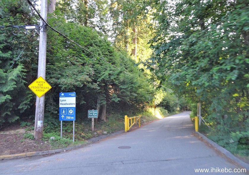
Entrance to Lynn Headwaters Regional Park off Lynn Valley Road North
Vancouver BC Canada
3. Shortly, there is some parking space on the right side. This location now features pay parking during the busy season to discourage excessive vehicular traffic. Free parking is available in a dirt lot as seen in the photo below, but pay parking begins with 600 meters still to go to the main parking area.
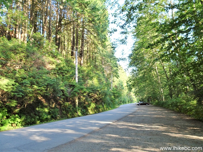
Lynn Headwaters Regional Park (Lynn Valley Road entrance) parking lot
4. The beginning of pay parking area is clearly marked. Overnight parking prohibited. Camping in the backcountry prohibited. Vehicle with disabled parking placards are exempt from pay parking.
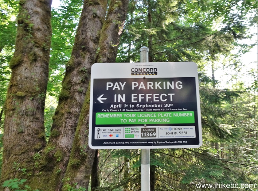
Pay Parking Information Sign in Lynn Headwaters Regional Park
5. The rates in effect.
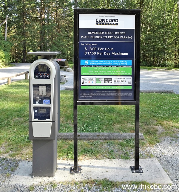
Lynn Headwaters Regional Park 2024 Parking Rates
Here is our video of driving from Burnaby to the main parking lot.
6. The map of Lynn Headwaters Regional Park. We indicated with a red square the parking area, and with a yellow square the end of Lynn Route Hike (at Lynn Lake) - it's about 13 kilometers one way, with the last 4.6 km (the actual Lynn Lake Route Hike) being the most difficult.
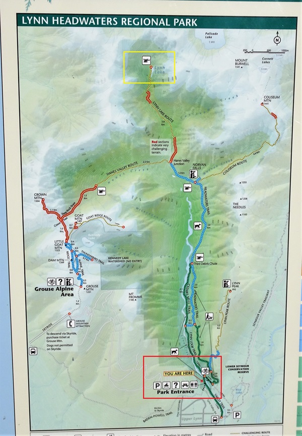
Lynn Headwaters Regional Park Map
7. We have now walked past the main parking lot (located 600 meters past the end of free parking area), and then for several hundred more meters to get to this point. The arrow shows the beginning of a trail to Norvan Falls and Coliseum Mountain. Check out those trip reports for in-depth coverage of the hike for the first 7.2 km to Norvan Falls junction.
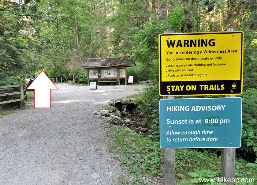
Lynn Headwaters Regional Park Warning Notice
8. We are now 140 meters past Coliseum Mountain trailhead, and just past Norvan Falls junction, ready to cross this suspension bridge.
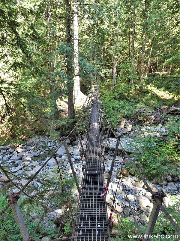
Lynn Headwaters Regional Park Suspension Bridge
9. About 1.4 km past Coliseum Mountain trailhead (and 8.4 km from the parking lot) we have arrived to yet another junction, where a very difficult and treacherous Hanes Valley Route Hike begins to the left, and Lynn Lake Route begins on the right side. Coordinates: N 49⁰25.165' W 123⁰02.452'. Elevation: 435 meters.

Hanes Valley Route Junction with Lynn Lake Route
10. Here is a map of the hike. The official map says 3.8 km from here to Lynn Lake, but we calculated it to be 4.6 km. Something like that.
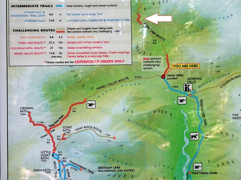
Lynn Lake Route Map
11. A message of warning.
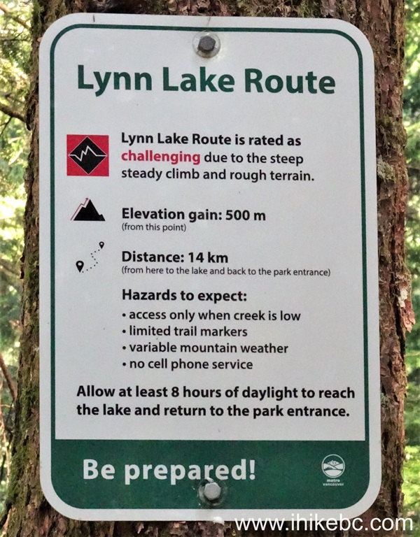
Lynn Lake Route Warning
12. That bold red stuff on the map? Here it is. At the 370 meter mark. Very steep for several hundred meters.
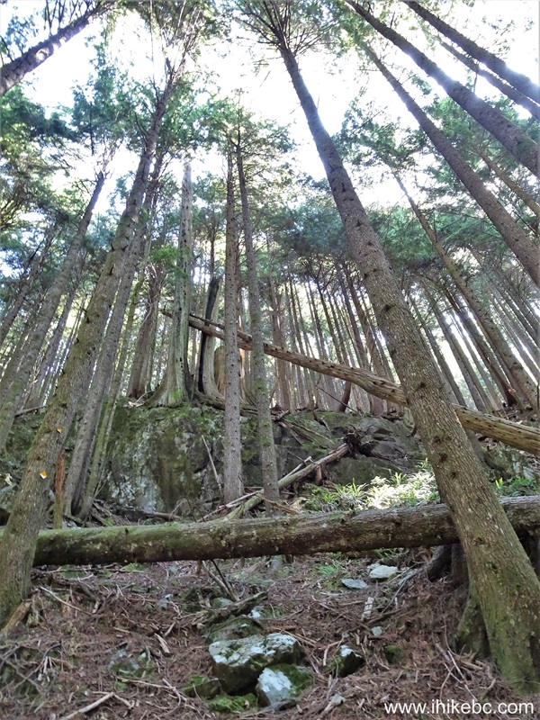
Lynn Lake Route in Lynn Headwaters Regional Park
13. It gets easier by the 800 meter mark of the Lynn Lake Route hike.
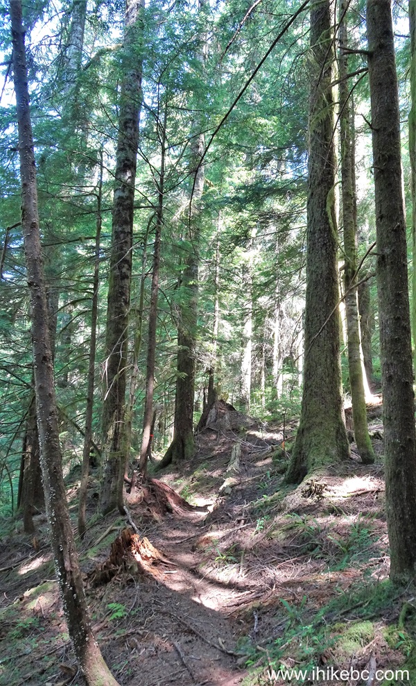
British Columbia Hiking - Lynn Lake Route near North Vancouver BC
14. By 1.05 km, things start getting complicated navigation-wise. Cross this small creek.
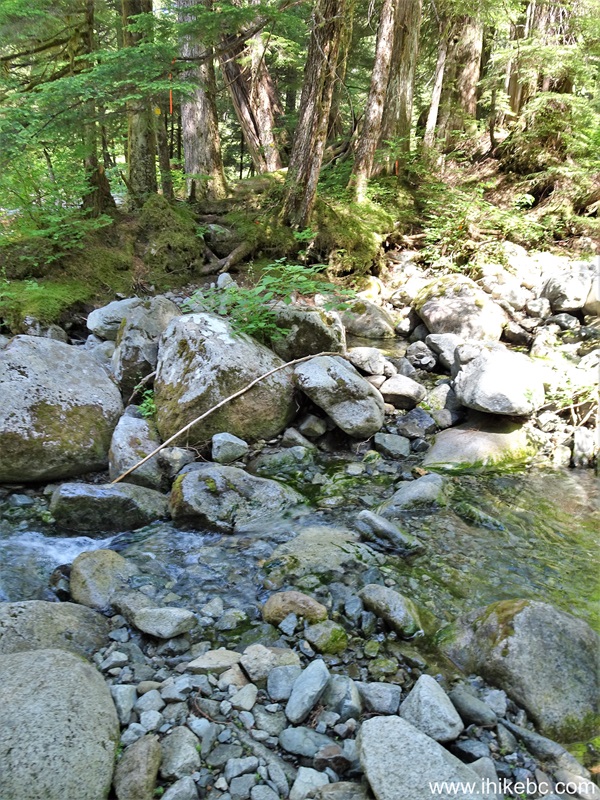
Lynn Headwaters Regional Park
15. 50 meters later cross a bigger creek. Now the goal is to reach a prominent large stone located in about 11 o'clock direction from here approximately 200 meters away. There will be a need to cross a creek yet again, and the question is where to do it. So, go straight through the woods, with the creek on your left side, and see the best way to do it before you get to the stone seen in photo #16.
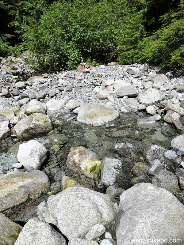
Lynn Lake Route
16-17. The stone at 1.30 km of the hike. Coordinates: N 49⁰25.634' W 123⁰02.521'. Elevation: 555 meters. Can't miss it. If you missed it, you are going the wrong way.
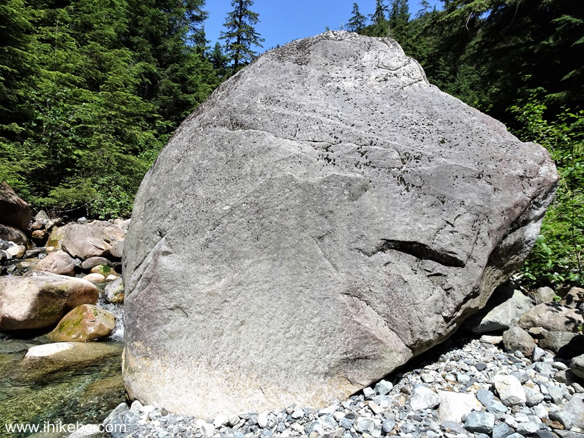
Lynn Headwaters Regional Park British Columbia Canada
18. Now the creek stone-hopping begins in earnest. The route/creek continues right past the big stone. At 1.75 km here. There is flagging tape here and there, but a GPS with a mapped trail (Backroad Mapbook has it for sure) would be very helpful, or follow our coordinates.
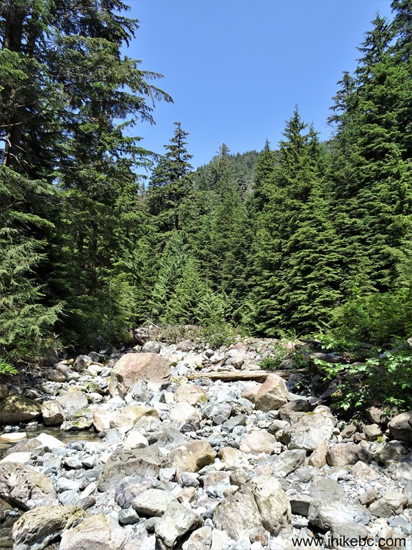
Hiking in British Columbia - Lynn Lake Route
19. Lynn Lake Route Hike at 2.47 km. Several creek crossings are required. Watch for slippery and/or loose stones.

Lynn Lake Route Hike in Lynn Headwaters Regional Park British Columbia
Canada
20-21. At 2.78 km, we have reached a picturesque area with a mini-waterfall. The trail continues where an arrow points in photo #20.
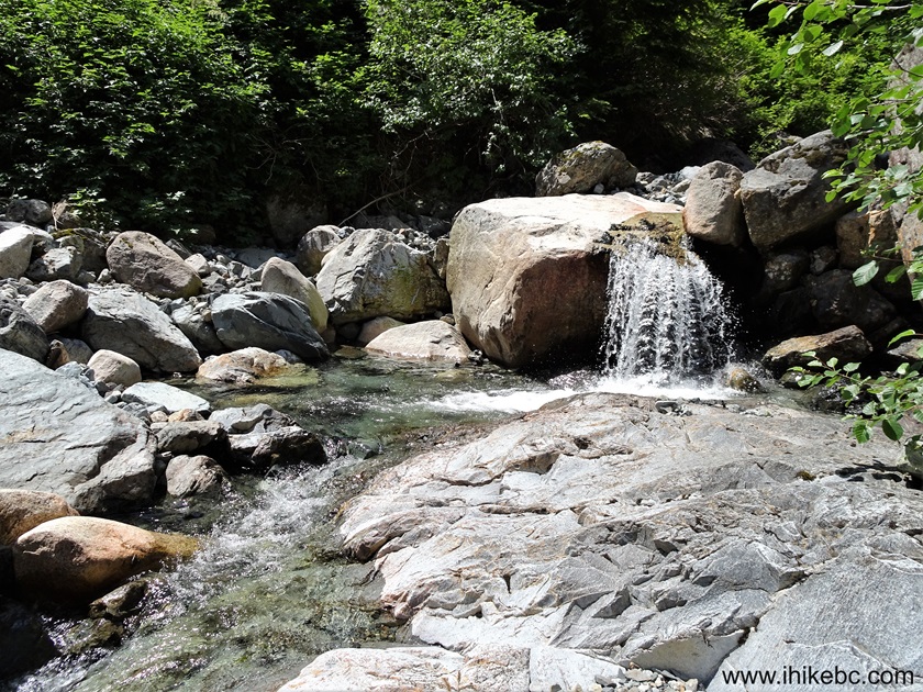
Lynn Lake Route Mini-Falls
Here is our video of the views from this location.
22. At 2.93 km of Lynn Lake Route.
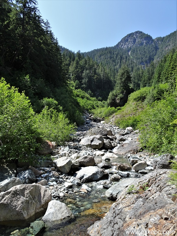
Lynn Lake Route Hike in British Columbia Canada
23-24. At the 3.0 km mark, we have reached a fairly decent small two-stage waterfall. Coordinates: N 49⁰26.019' W 123⁰03.051'. Elevation: 655 meters. It's on the right side, and this is where the trail also makes a right turn to go on the left side of the waterfall canyon. Unfortunately, it is a very slippery stretch of about 20 meters, and it is slanted towards the canyon. So, on the way back, there is a high danger of falling for about 5 meters into a pool of water. Be extra careful, as it's not an easy task to avoid that fall.
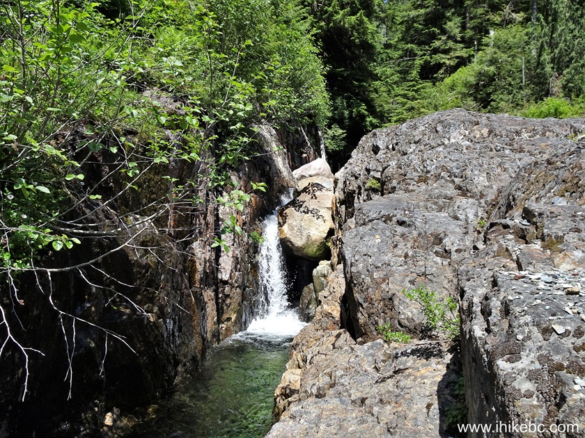
Waterfall in Lynn Headwaters Regional Park - Lynn Lake Route
25. This is a two-stage waterfall, with the upper stage being more impressive. Here is a zoomed view from the bottom.
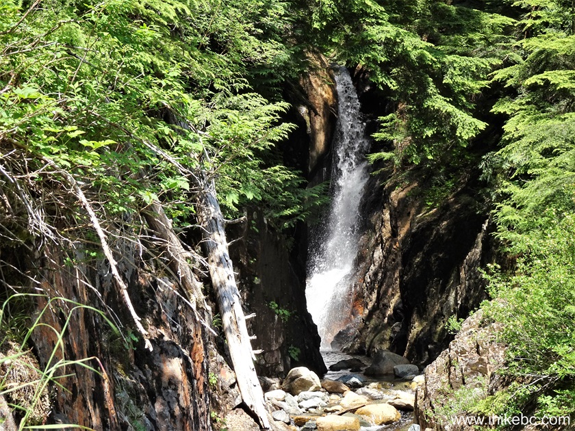
Lynn Lake Route Waterfall
26. And here is a view of the upper stage from the top - it's about 30 meters to the right of the trail. Warning - dangerous area! Slippery slanted ground, steep unbarricaded drop-off.
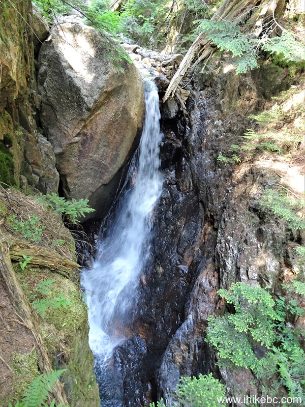
Waterfall by Lynn Lake Route in Lynn Headwaters Regional Park
Here is our video of the waterfall.
27. Lynn Lake Route hike continues. At 3.08 km.
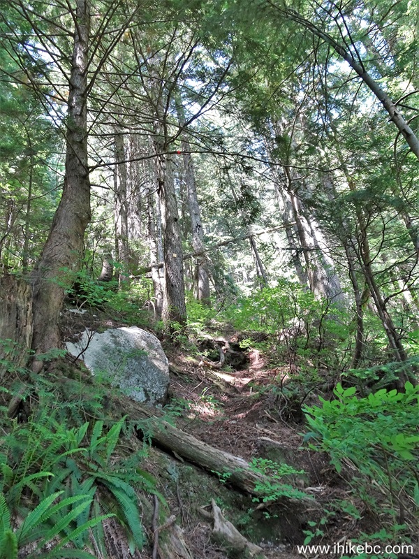
Hiking Lynn Lake Route near North Vancouver British Columbia Canada
28. At 3.73 km comes a sharp left turn. Coordinates: N 49⁰26.193' W 123⁰03.064'. Elevation: 760 meters. Unless it would be flagged, this turn is easy to miss. Right before that left turn.
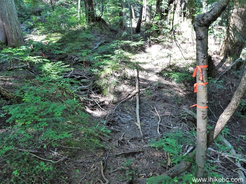
Lynn Headwaters Regional Park - Lynn Lake Route
29. Immediately after that left turn. It just doesn't look like a trail, which makes it easy to walk right past it and get confused as to where to go, unless you have a GPS with a trail ribbon.
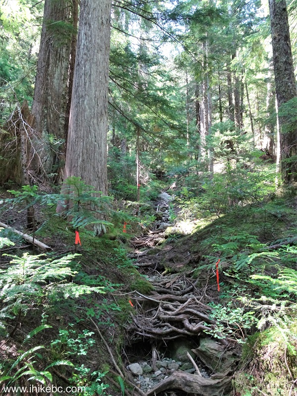
Hiking in North Vancouver Area - Lynn Lake Route
30. Getting close to the lake. Lynn Lake Route at the 3.92 km mark.
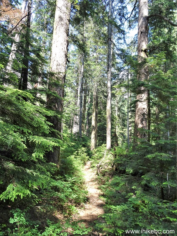
Lynn Headwaters Regional Park Hiking
31-33. And, at 4.60 km, we have reached Lynn Lake. Coordinates: N 49⁰26.574' W 123⁰03.004'. Elevation: 785 meters.
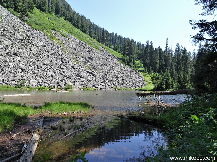
Lynn Lake
34-35. A spotted sandpiper was hanging out in the area.
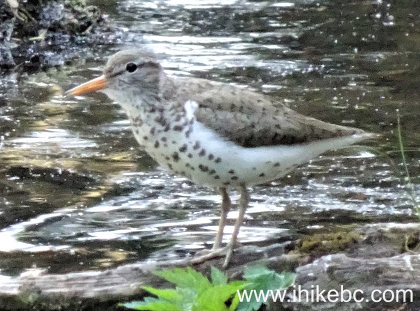
Spotted Sandpiper
Here is our video of Lynn Lake and spotted sandpiper.
More ihikebc videos are on our YouTube Channel.
Lynn Lake Route hike is difficult, sometimes dangerous, and doesn't have any impressive views to speak of. Recommended only to well-equipped, experienced fans of plain hiking.
|
|
|
Other Trips in North Vancouver Area:
Other Trips:


Follow @ihikebc Tweet
ihikebc.com Trip 316 - Lynn Lake Route Hike
(Lynn Headwaters Regional Park near North Vancouver BC)


