![]()
![]()
![]()

Trip 203 - April 19, 2021 (Monday)
Burns Point Trail Hike
(via Admiralty Point Trail)
Belcarra Regional Park, British Columbia
Distance from Vancouver to the Trailhead (Hastings St at Boundary Road intersection): Approximately 29 km via Hastings Street, Inlet Drive, Barnet Highway, St. John's Street, Ioco Road, First Avenue and Bedwell Bay Road.
Liked: Fairly short and easy trail, shade in the forest, sea breeze, views from Admiralty Point and Burns Point.
Of Note: Belcarra Regional Park is very popular, seasonal pay parking in effect (no cash accepted), steep unbarricaded drop-offs at Burns Point, some uneven ground with rocks and roots - hiking poles and boots are recommended. Some traffic noise here and there.
Vancouver, Coast & Mountains Backroad Mapbook (5th edition) Trailhead Coordinates: Page 1 (Vancouver) G1.
Related Website: Belcarra Regional Park (Metro Vancouver Official Site).
Another Trip in Belcarra Area: Belcarra Regional Park Visit.
Belcarra Regional Park is a very popular Metro Vancouver Park located in the Village of Belcarra next to the town of Port Moody. This park has two main areas with separate entrances - a smaller White Pine Beach, with a neat sandy beach, and Belcarra Picnic Area, an equally neat large patch of green grass, as well as a pier conducive to fishing and crabbing. Belcarra Picnic Area also has several trails in the vicinity, one of them being Burns Point Trail (via Admiralty Point Trail). It takes 2 km to get to Admiralty Point, and another kilometer to then get to Burns Point. Both points have good water views. There are also several other water access points during this hike.
For directions on getting to the trailhead in Belcarra Regional Park, check out our previous trip report. The first photo of this trip report is the same as photo #34 of that trip report.
1. We are in Belcarra Regional Park - Picnic Area, at the Admiralty Point Trailhead. It's located by a kayak rental shack seen in the background. If facing the beach, the trailhead would be in the left side of the Picnic Area, in the opposite direction from the pier. Coordinates:
49⁰18.739' 122⁰55.572'. Elevation: 1 meter.
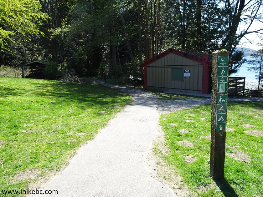
Admiralty Point Hike Trailhead - Belcarra Regional Park - Belcarra BC
Canada
2. Admiralty Point Trail begins.
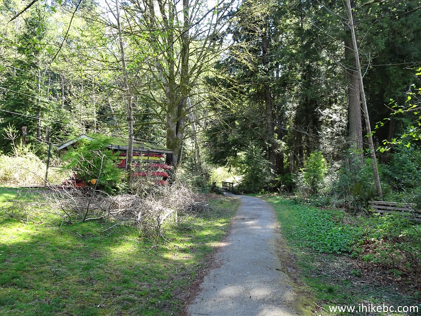
Admiralty Point Trail - Belcarra Hiking
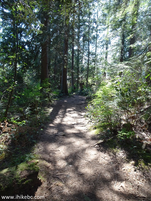
3. It's a pleasant hike in the forest.
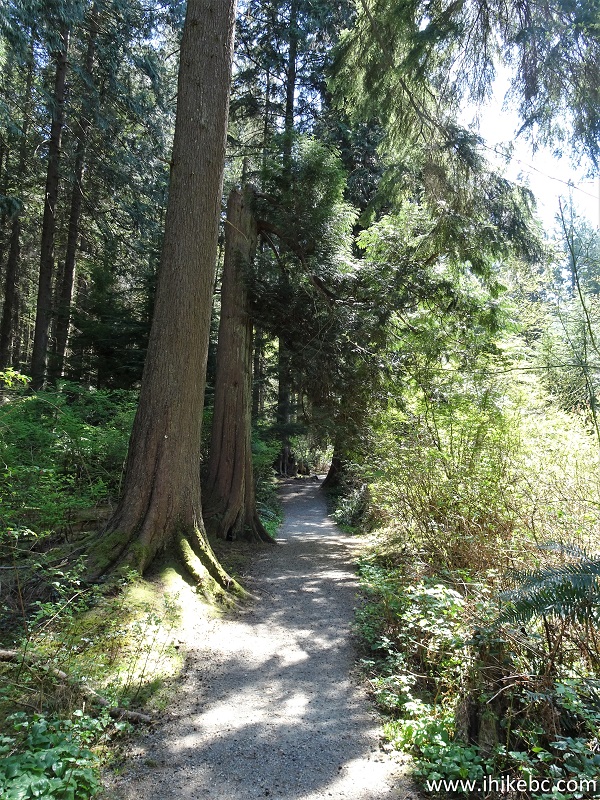
Belcarra Regional Park Trail - Admiralty Point Trail
4. The trail never goes more than about 100 meters away from water, and, every now and then, sea breeze makes its appearance along the way. There is also an occasional fern here and there.
Admiralty Point Trail - Hiking in Port Moody Area
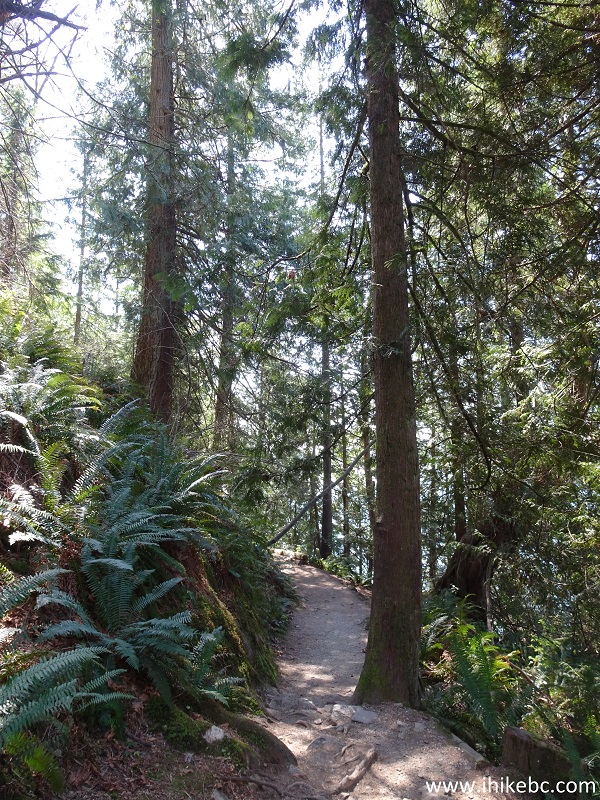
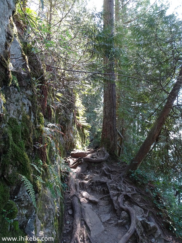
5. This short stretch of exposed roots is, perhaps, the toughest part of the trail.
Hiking in Belcarra Regional Park - Admiralty Point Trail
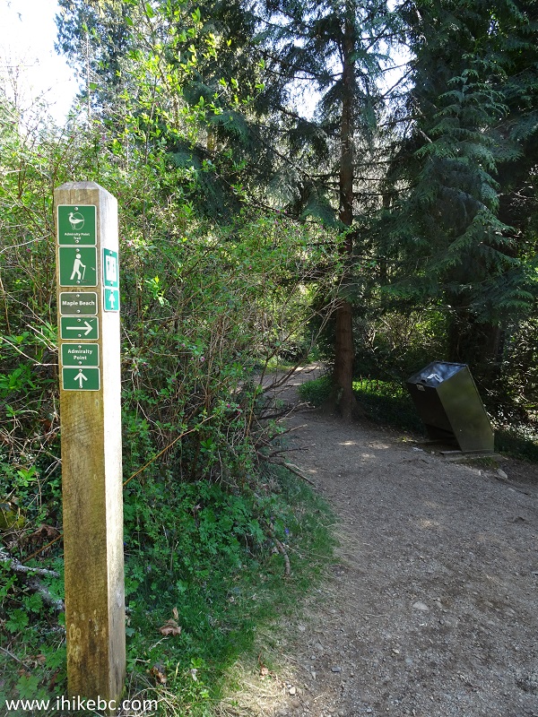
6. Maple Beach access arrives at the 1.7 km mark. A trash can and a pit toilet await.
Admiralty Point Trail at Maple Beach Access
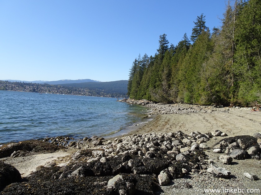
7. It's mostly a stony beach, but could be a good destination to avoid the crowds by the parking lot.
Maple Beach Belcarra Regional Park
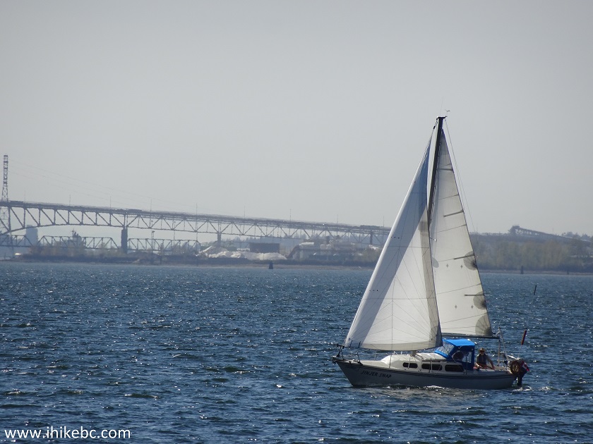
8. A sailboat spotted nearby.
Sailboat in Burrard Inlet near Belcarra Regional Park
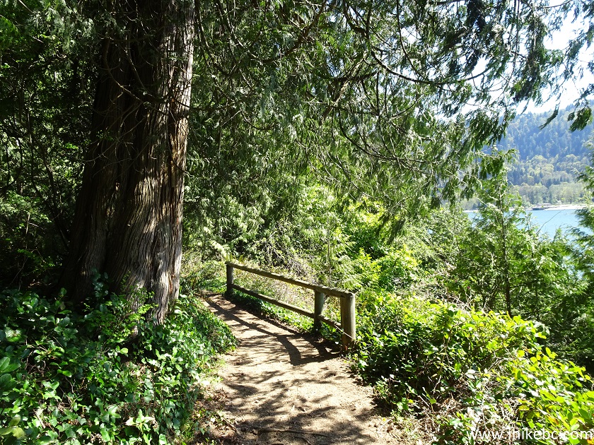
9. Just a bit further, at 1.9 km, is a turnoff to Admiralty Point. Burns Point Trail begins right here, and it's another kilometer to Burns Point.
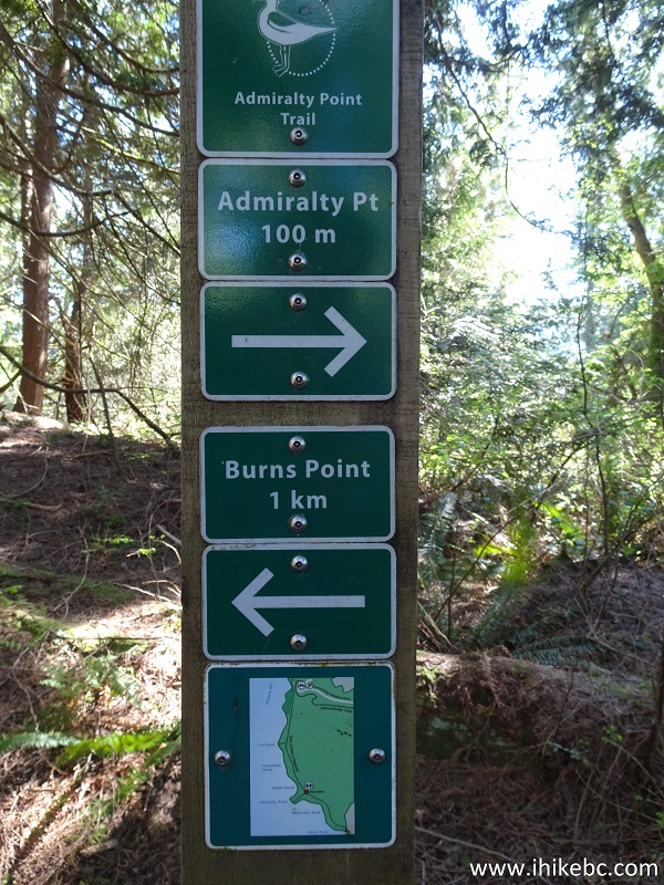
Admiralty Point Trail at Burns Point Trailhead
10. We are heading to Admiralty Point now. It's only 100 meters away.
Trail to Admiralty Point
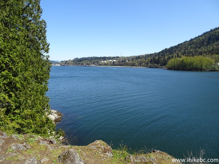
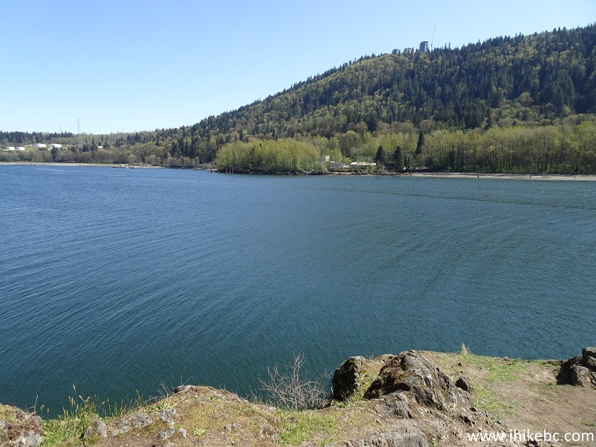
11-14. Here it is. Left to right. This is looking West down Burrard Inlet, with Ironworkers Memorial Bridge in the distance.
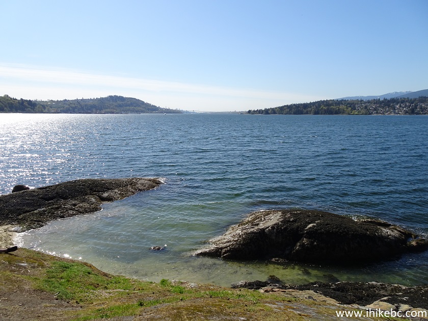
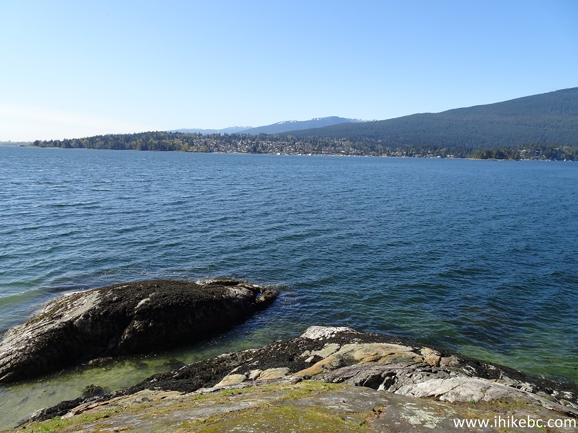
Admiralty Point Belcarra Regional Park British Columbia Canada
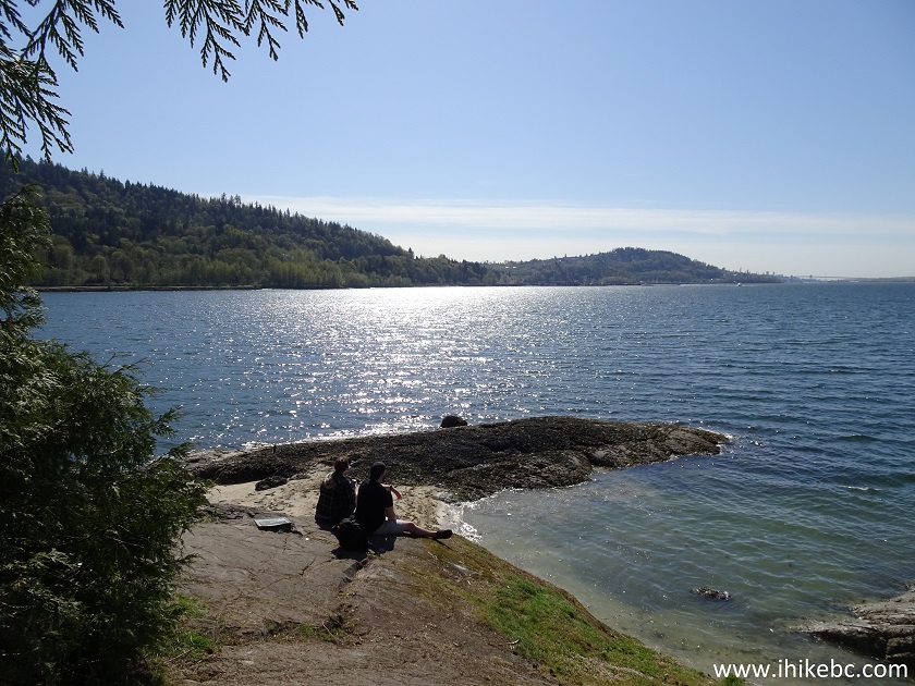
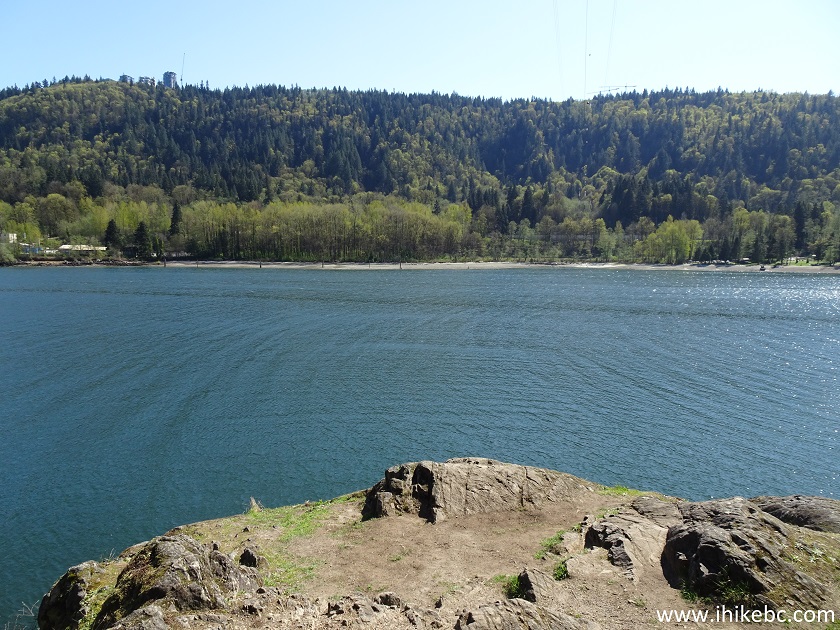
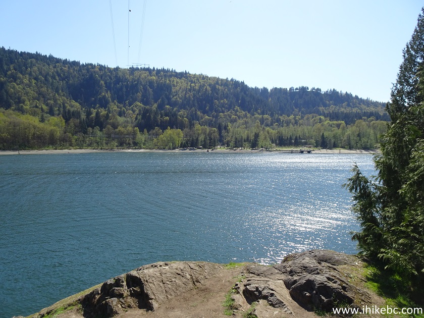
15. The Admiralty Point panorama.
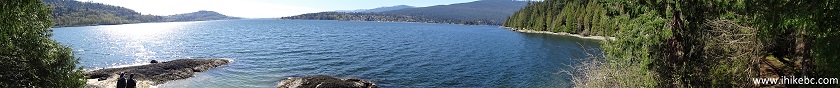
Admiralty Point Panorama
16. Kayakers chilling nearby.
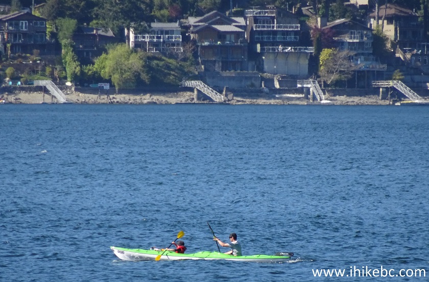
Kayakers in Burrard Inlet near Belcarra Regional Park
Here is Our Video of the Views from Admiralty Point.
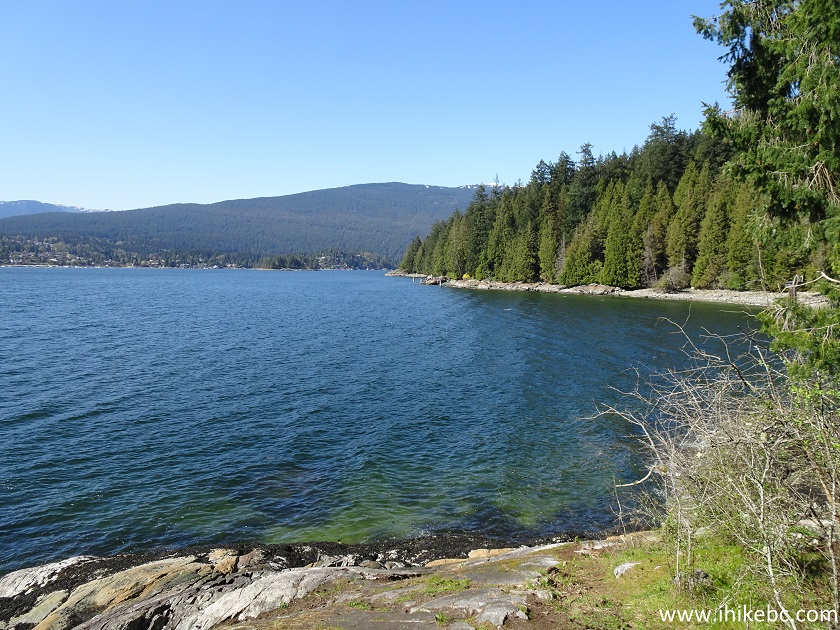
17. Now heading to Burns Point.
Burns Point Trail
18. It's still an easy trail, with steps to assist through a steep part.
-
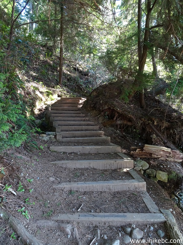
Trail in Belcarra Regional Park - Burns Point Trail
19. Approaching Burns Point.
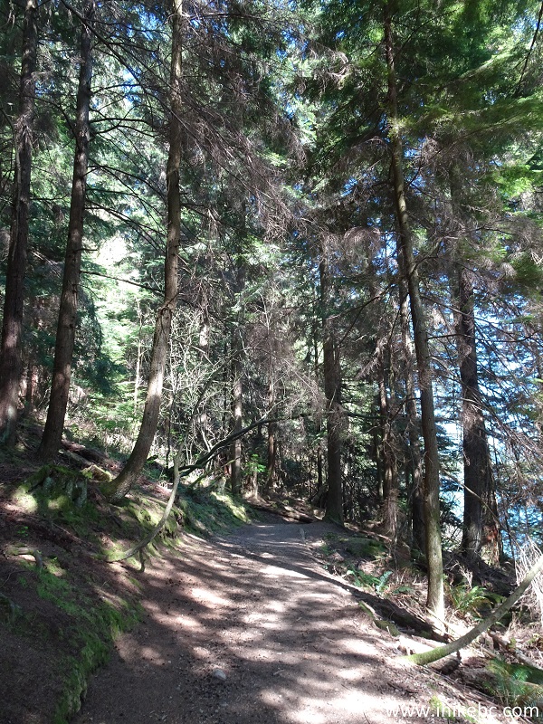
Hike in Port Moody Area - Burns Point Trail
20. Almost there.
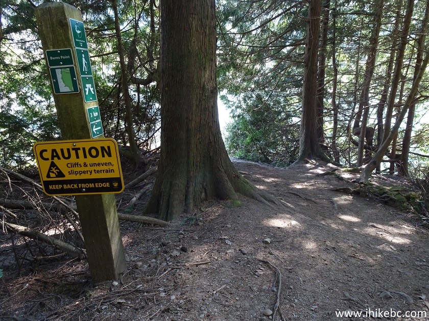
Burns Point Hike
21-24. And here it is. Left to right. Coordinates: 49⁰17.596' 122⁰55.020' Elevation: 4 meters (3 meters elevation gain from the start of the trail). It took us 45 minutes to get here from Admiralty Point Trailhead in Belcarra Regional Park Picnic Area. Total distance one way: 3 kilometers.
Beware of steep unbarricaded drop-offs.
Burns Point Belcarra Regional Park
25. The Burns Point panorama.

Burns Point Panorama
Here is Our Video of the Views from Burns Point.
More ihikebc videos are on our YouTube Channel.
Burns Point Trail (via Admiralty Point Trail) is short, easy, and leads to several fine views. Recommended.


|
 |
Other Trips:


![]()
![]()
![]()
ihikebc.com Trip 203 - Burns Point Trail Hike via Admiralty Point Trail (Belcarra BC)