![]()
![]()
![]()

Trip 146 - August 22, 2018 (Wednesday)
Village of Telkwa Visit
Near Smithers, British Columbia,
Canada
Location: Along BC Highway 16, approximately 13 kilometers East
of the town of Smithers.
Liked: Short trails around the village, lots of shade on the trails, no bugs, river views, old church.
Of Note: Limited parking in some places, notice of "bear in the area" by one of the trails, some steep trail sections.
Northern BC Backroad Mapbook (3rd edition) Telkwa Coordinates: Page 36 (Smithers) B7.
Related Websites: Village of Telkwa Official Website, Wiki: Telkwa BC.
Other BC Cities, Towns and Locations We Have Visited: Agassiz, Bella Coola, Bralorne, Chilliwack, Fort Nelson, Gibsons, Gold Bridge, Harrison Hot Springs, Hope, Horseshoe Bay, Merritt, Mission, Nanaimo
(Old City Square), Port Alberni, Prince George, Prince Rupert, Smithers, Squamish, Tofino, Tumbler Ridge, Vancouver (Seawall), Vancouver (Stanley Park), West Vancouver (Ambleside Park).A picturesque village of Telkwa is located along BC Highway 16, just East of the town of Smithers. Today, we hiked for about 50 minutes around Telkwa on many of its interconnecting short trails, and then walked along Highway 16 back to our parking spot. We then visited Tyhee Lake Provincial Park, located just West of Telkwa, and will cover that visit in our following trip report.
1. We are eastbound on BC Highway 16, leaving Smithers and passing by the East "gate" featuring statues of a woman (on the right) and a fisherman (on the left). Zero your odometer here.
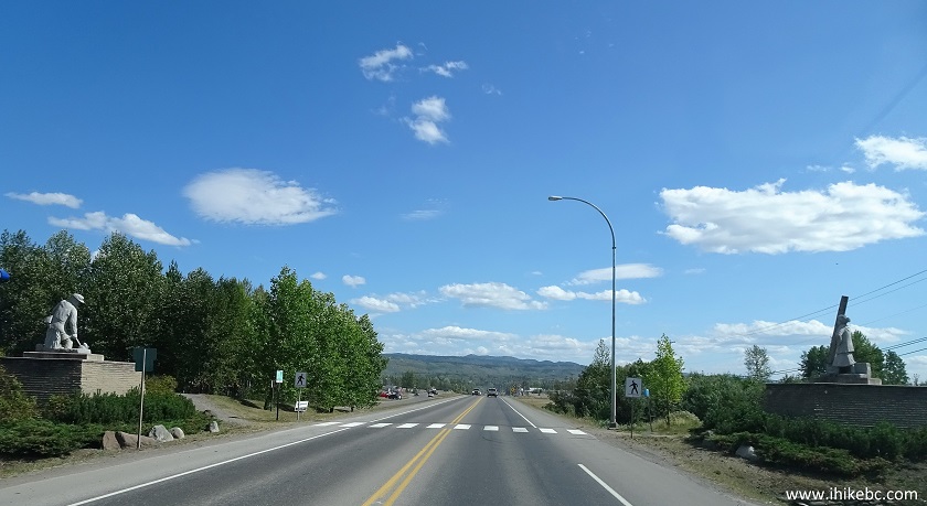
BC Highway 16 East in Smithers British Columbia Canada
2. We have all seen people hitchhiking, and people playing instruments in public. But hitchhiking and playing an instrument at the same time? That's a first for us.
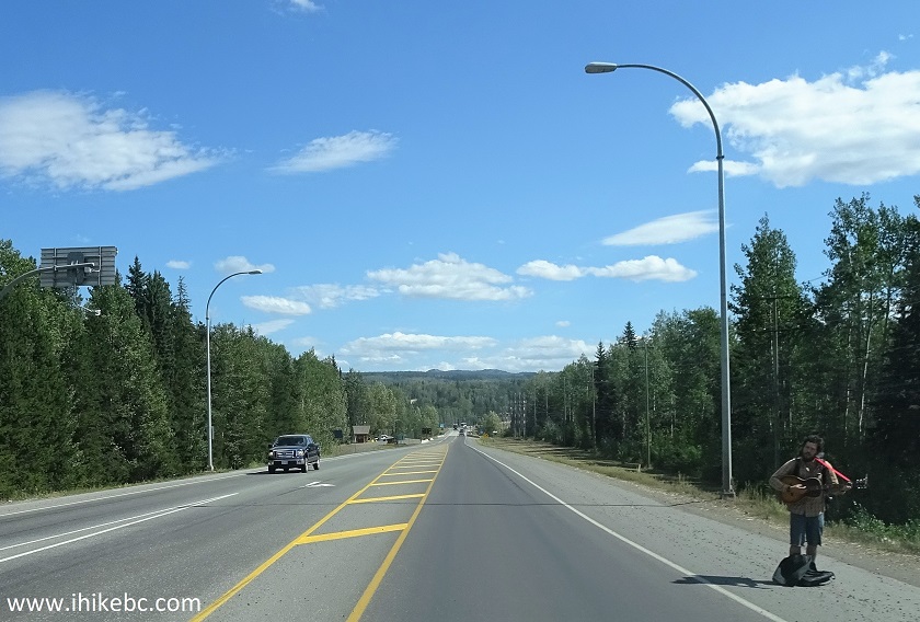
Hitchhiker near Smithers BC Canada
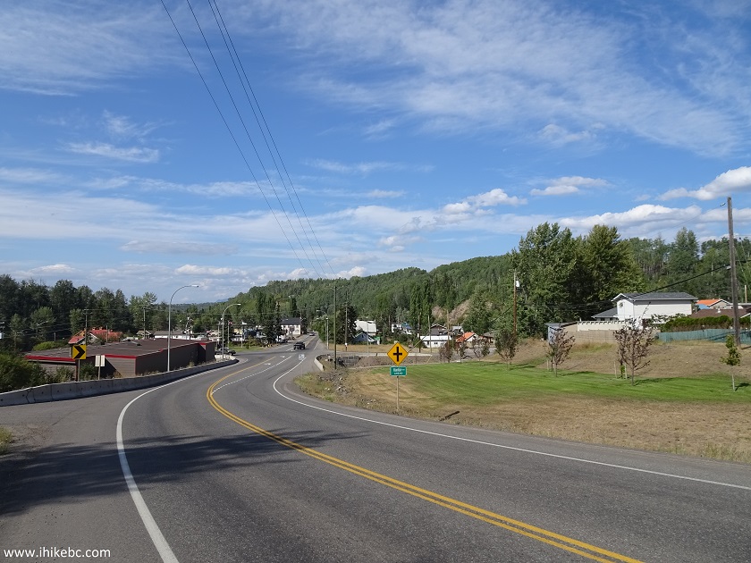
3. Entering the Village of Telkwa.
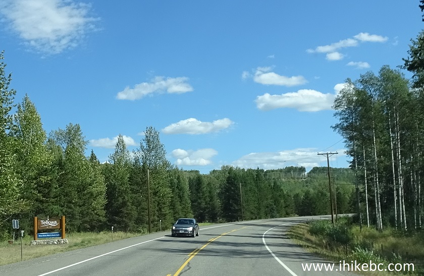
Entering Telkwa BC on Highway 16 East
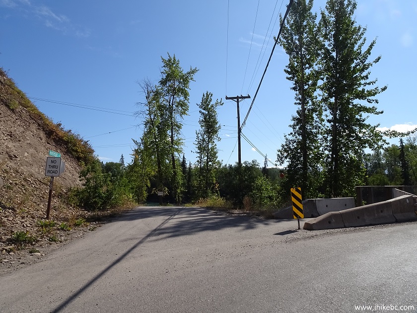
4. Turn right onto a very short Howson Avenue 12.9 km after passing the east "gate" of Smithers.
BC Highway 16 East at Howson Avenue turnoff - Telkwa British Columbia
5. That's Eddy Park, and there is enough parking space for four vehicles. Coordinates: N 54⁰42.062' W 127⁰03.098'. Elevation: 512 meters. There is also a small round building with several toilets just a few dozen meters East of this spot (it can be seen in the photo above). Vehicles with trailers or anything but a small RV won't find enough space here, and would need to park further off Highway 16.
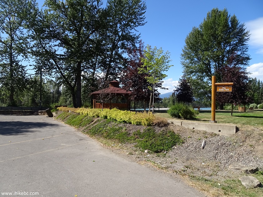
Eddy Park - Howson Avenue - Telkwa BC Canada
6. A neat view of Bulkley River from Eddy Park.
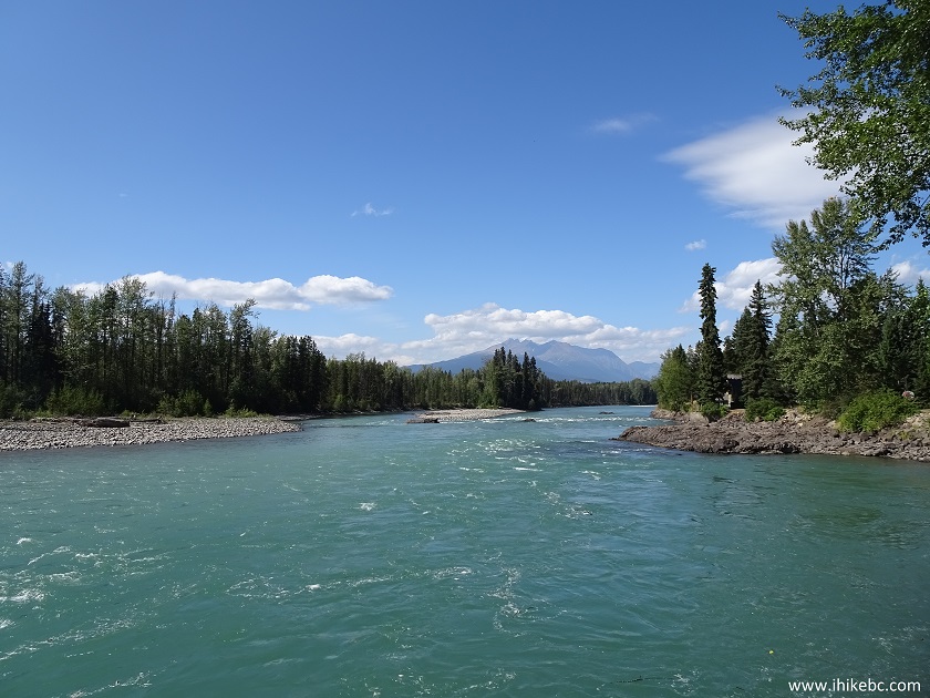
Bulkley River seen from Eddy Park in Telkwa British Columbia
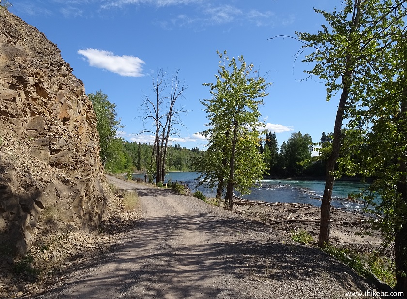
7. The trail begins in Eddy Park and goes around much of Telkwa. It's actually a series of several small trails, but they are all interconnected, so it feels like one trail. We would be walking East along Bulkley River on Riverside Street.
Telkwa BC
8. A few hundred meters later.

Telkwa British Columbia Canada
9. The trail comes even closer to the river, and you see two bridges ahead. Our trail continued to the left of the bridge on the left side, along Bulkley River, and then across Highway 16. And Telkwa River actually ends under the bridge on the right, where it flows into Bulkley River.
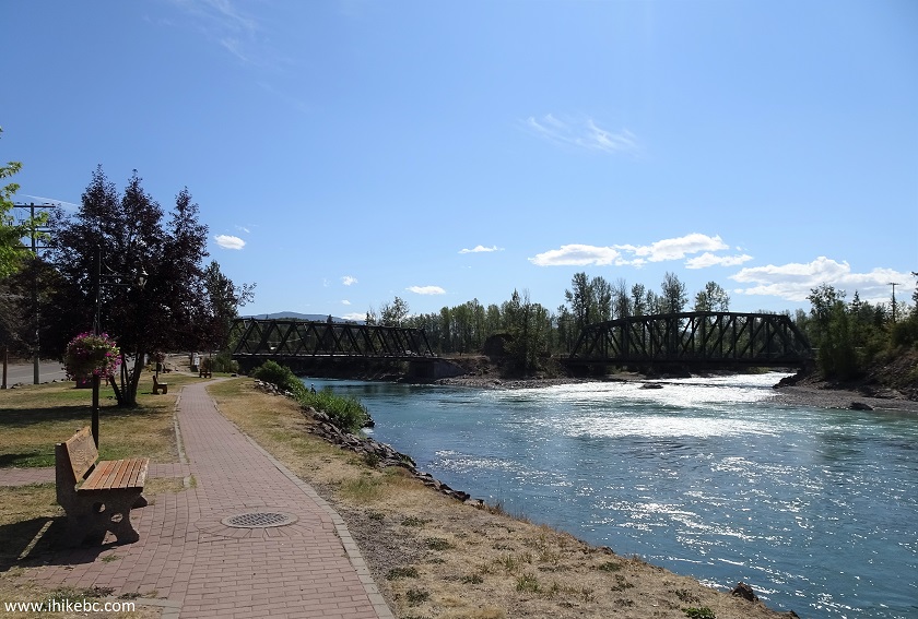
Bulkley River in Telkwa BC
10. Here is the bridge on the right side, and the point where Telkwa and Bulkley rivers converge.
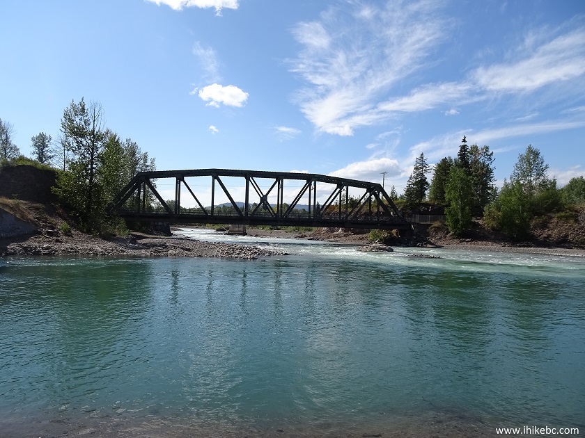
Confluence of Telkwa and Bulkley rivers in Telkwa BC Canada
11. And here is the continuation of the trail to the left of the bridge on the left side. Riverside Street ends at this point.
End of Riverside Street in Telkwa BC
12. Just a bit further.
Trail along Bulkley River in Telkwa British Columbia
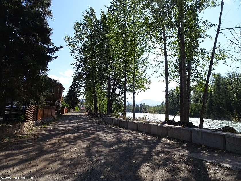
13. It's a quiet, picturesque trail, going past the backyards of folks whose residences overlook Bulkley River.
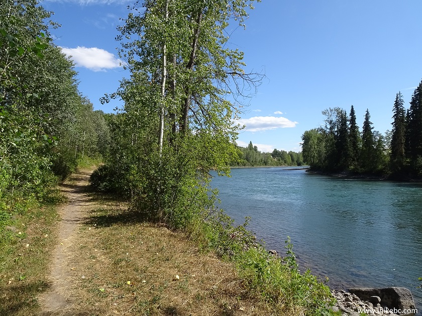
Hike in Telkwa -
Bulkley River in Telkwa BC
14. In a few hundred meters, there is a staircase on your left, which is the continuation of the trail (called Aldermere Trail at this point). Prior to that we were on River Grade trail. The trail along the river continues, but it leads to a private RV park, so we took the stairs.
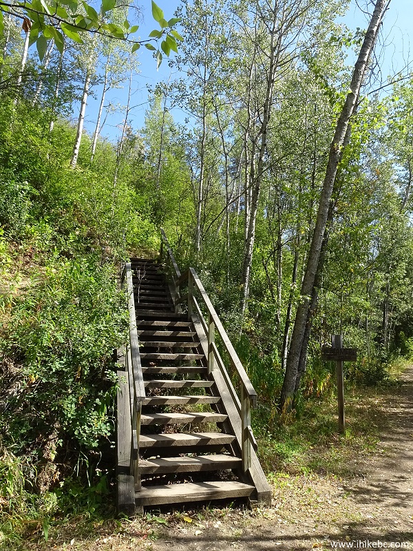
Hiking in Telkwa BC Canada
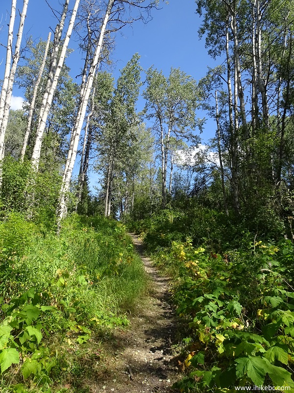
15. After the staircase, the trail gets somewhat steep.
Telkwa hiking British Columbia Canada
16. After that, cross Highway 16 and walk a bit to the left.
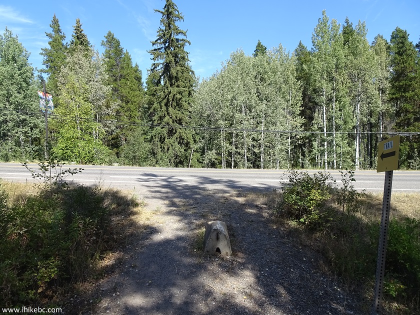
Hiking trail crossing Highway 16 in Telkwa British Columbia
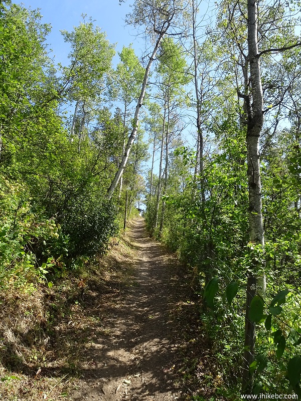
17. The trail then goes back into the woods.
Hiking in Telkwa British Columbia
18. No views here, just a pleasant walk in the forest. There is a split pictured below, where we took the trail on the right. However, it appears the trail on the left rejoins the trail on the right several hundred meters later.
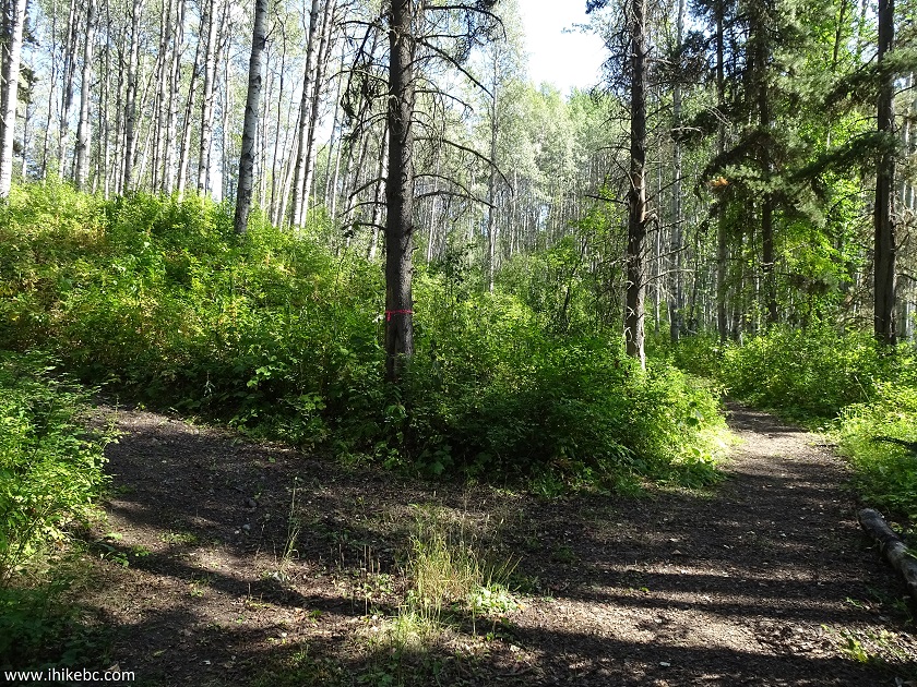
Telkwa BC hiking trail
19. Another steep section followed shortly.
Aldermere Trail in Telkwa British Columbia Canada
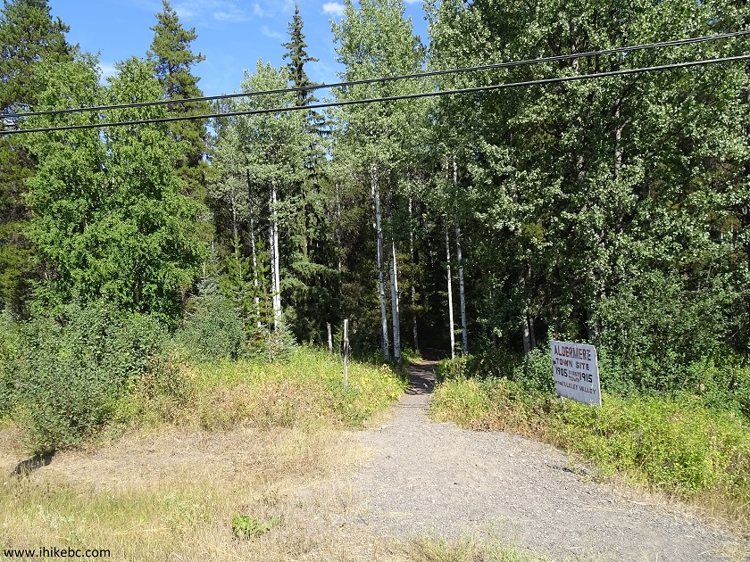
20. And, finally, the end of Aldermere Trail arrived where Telkwa Wagon Trail started (on the left). Cariboo Trail, which eventually leads all the way to Tyhee Provincial Park, is seen to the right of Telkwa Wagon Trail in the photo below.
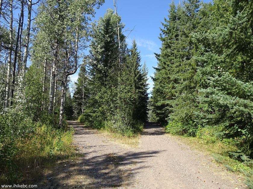
Telkwa Wagon Trail start
21. We took Telkwa Wagon Trail, and it ended shortly at this location. Coordinates: N 54⁰41.723' W 127⁰02.720'. Elevation: 538 meters (26 meters elevation gain from the start of the trail). It took us just over 50 minutes to get to this point from the start of the trail at Eddy Park on Howson Avenue. It is entirely possible to bike on this trail too.
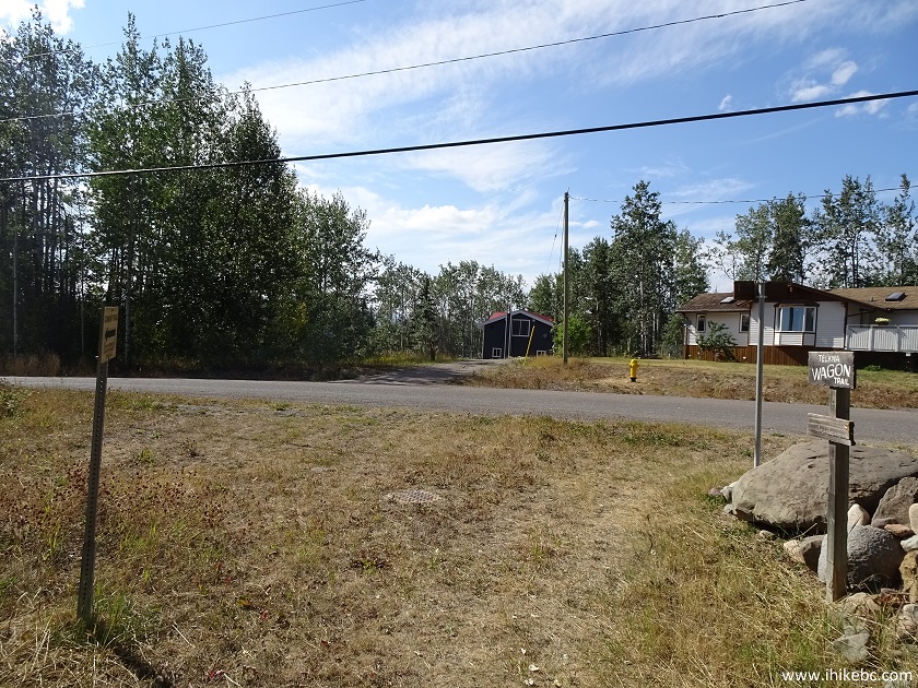
End of Telkwa Wagon Trail
22. Upon finishing Telkwa Wagon Trail, we turned left onto Tower Street, reached Highway 16 within a few minutes, turned right (West) and walked along the highway.
Highway 16 in Telkwa British Columbia Canada
23. Telkwa BC.
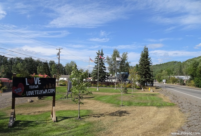
Telkwa BC
24. A picturesque St. Stephen's Anglican church is located along Highway 16.
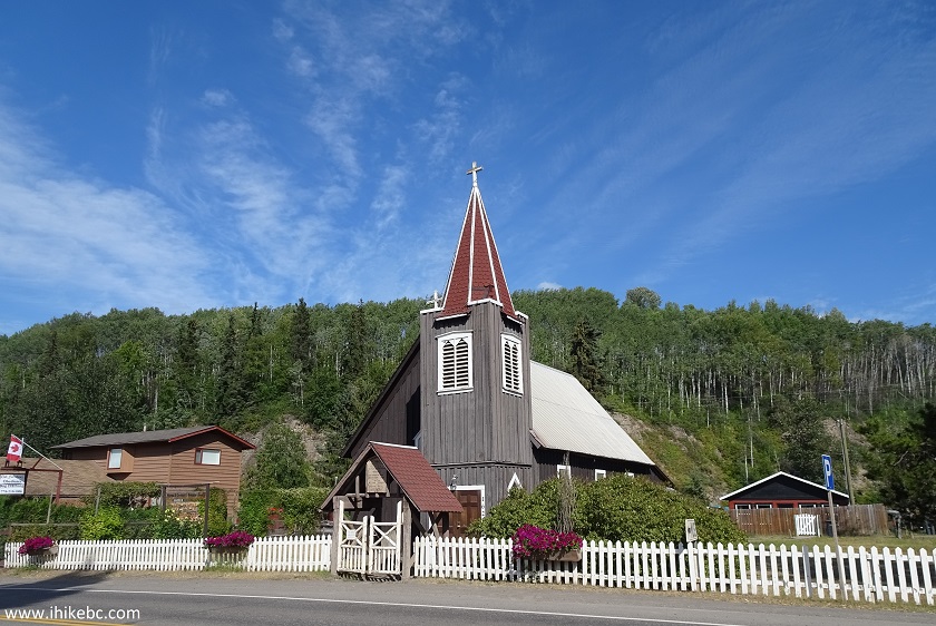
St. Stephen's Anglican Church Telkwa BC Canada
25. The entrance to the church.
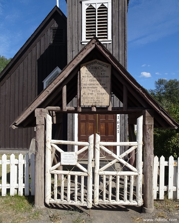
Telkwa BC - St. Stephen's Anglican Church
26. Church grounds.
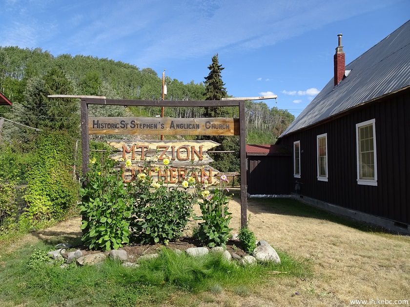
Grounds of St. Stephen's Anglican Church in Telkwa British Columbia
Canada
The whole trip took 1 hour and 17 minutes. If you are in the area, the Village of Telkwa is a very good place to stretch your legs and see some fine natural views, as well as a pretty old church.


|
 |
Other Trips in Smithers BC Area:
|
|
|
|
|
|
|
|
|
|
|
|
|
Fletcher-Gardiner Trail  |
Other Trips:


![]()


![]()
![]()
![]()
ihikebc.com Trip 146 - Village of Telkwa Visit (near Smithers BC)