![]()
![]()
![]()

Trip 070 - August 27, 2014 (Wednesday)
Ling Lake Trail (partial)
Off Chilliwack Foley Forest Service Road
Page 1
of 2
Liked: Several great mountain views, waterfall, fairly smooth road surface most of the way, no bugs.
Of note: Remote wilderness area. No cell phone signal. Much of the road has no tree cover - sun protection recommended. Hiking boots and poles are recommended. Waterfall creek crossing could be a problem during the spring runoff. Unable to find continuation of the trail to Ling Lake.
Vancouver, Coast & Mountains Backroad Mapbook (2010 edition) Coordinates to the likely beginning of the trail: Page 5 (Chilliwack Lake) D4.
Related Websites: Chilliwack District FSR Conditions.
Other Trips in Chilliwack Area: Flora Lake Trail, Williams Ridge Trail, Mount Thom Lookout Loop Trail, Vedder Rotary Loop Trail, Teapot Hill Trail Hike, Chilliwack Dyke Trail, Greendrop Lake Trail, Mount Cheam Peak Trail, Chilliwack Foley FSR, Chilliwack Bench FSR, Elk-Thurston Trail, Slesse Memorial Trail, Downtown Chilliwack BC Visit, Chilliwack Lake FSR, Radium Lake Trail, Chilliwack Lake Provincial Park, Minter Gardens, Town of Agassiz BC, Bridal Veil Falls Provincial Park.
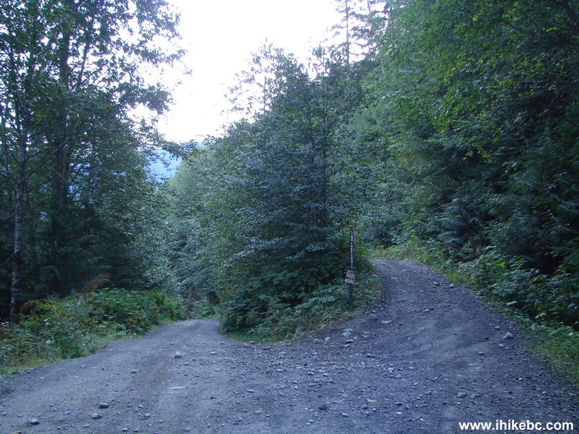
Follow @ihikebc TweetChilliwack Foley Forest Service Road splits in two just after Ling Lake, as seen in photo #1. The left split is covered a bit in our previous trip report, and this trip report deals with the right split, which is the continuation of Chilliwack Foley FSR.
There is a sign at the beginning of the right split stating "Ling Lake Trail". We continued on this road all the way to the rockfall (after which the road is badly overgrown, as no ATV can go any further), and then returned to the Ling Lake turnoff and hiked it for a bit until losing track of the trail.
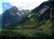
Despite the fact that we were unable to find Ling Lake, this part of Chilliwack Foley FSR features several great mountain views, and is worth exploring for that reason alone.
1. Early morning start of the hike. We had a small bicycle, which was very helpful when traveling back, as the road mostly goes downhill on the return trip. So, here is the split. This is the same photograph as photo #16 of the previous trip report (Chilliwack Foley FSR). Coordinates: N 49⁰07.605' W 121⁰34.417'. The sign by the road on the right states "Ling Lake Trail." There were no other signs, or any flagging tape, or anything else marking the trail after this.
Chilliwack Foley FSR BC Canada
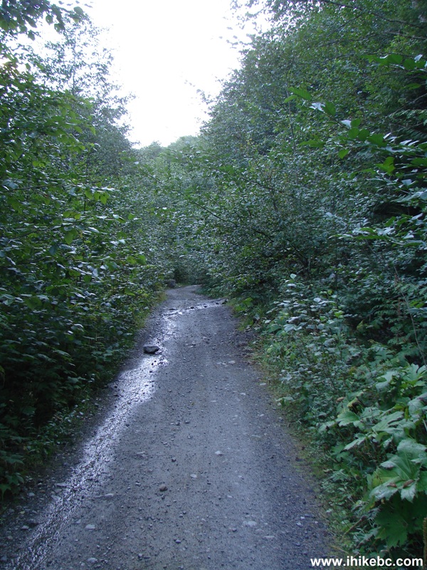
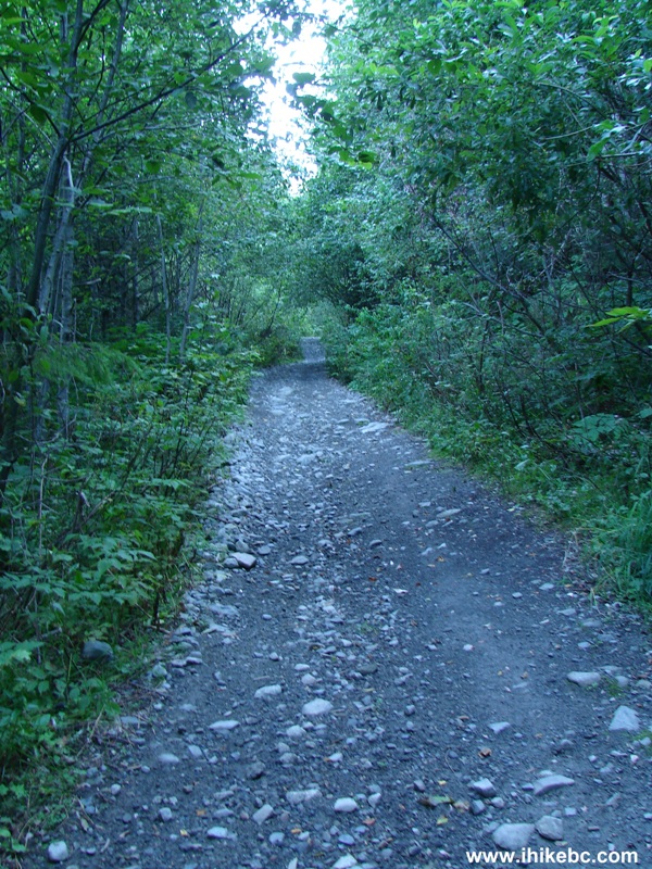
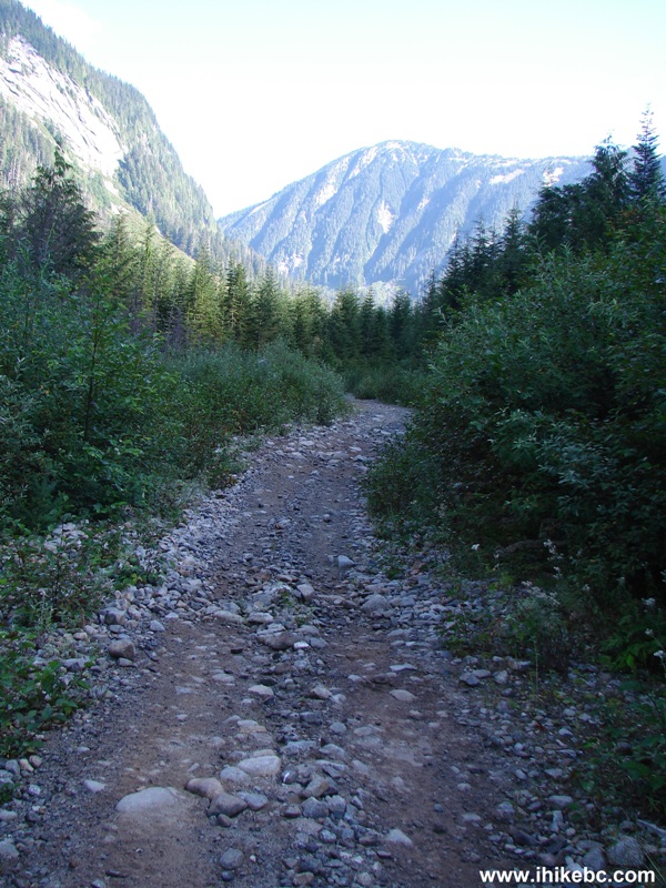
2. The trail rises steadily, with few level stretches.
Chilliwack Foley FSR - Ling Lake Trail BC Canada
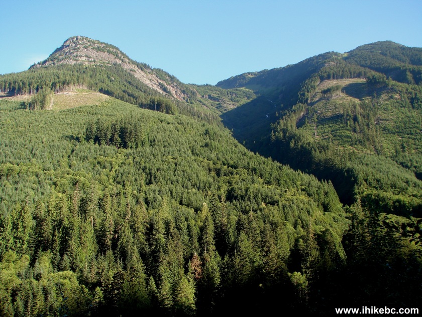
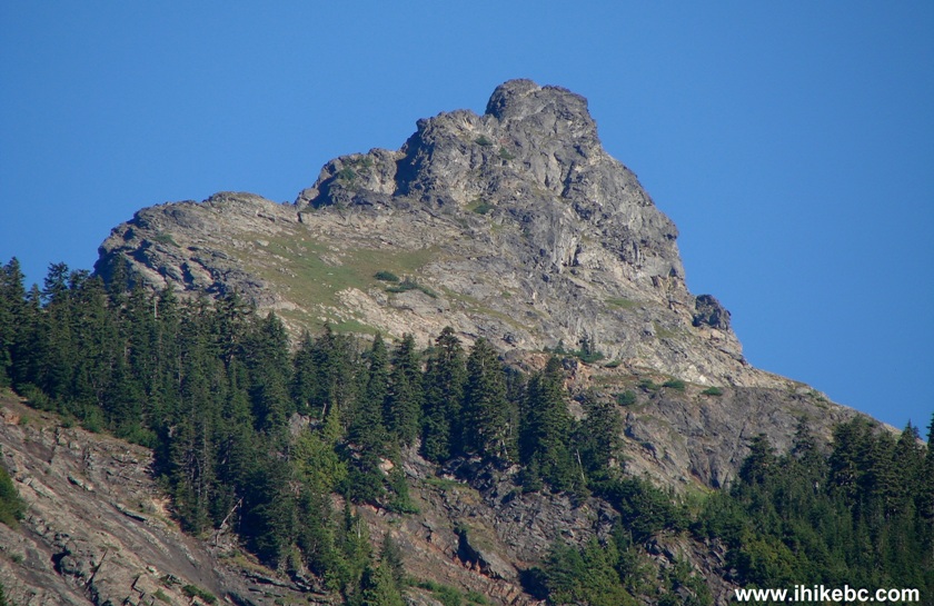
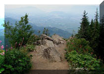
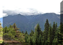
3. In fifteen minutes, the first mountain view arrives.
Mountain View Chilliwack Foley FSR - Ling Lake Trail BC Canada
4. Zooming in.

Photo of a Mountain View Chilliwack Foley Forest Service Road - Ling
Lake Trail BC Canada
5. And then we continue going uphill.

Chilliwack Foley FSR - Ling Lake Trail British Columbia Canada
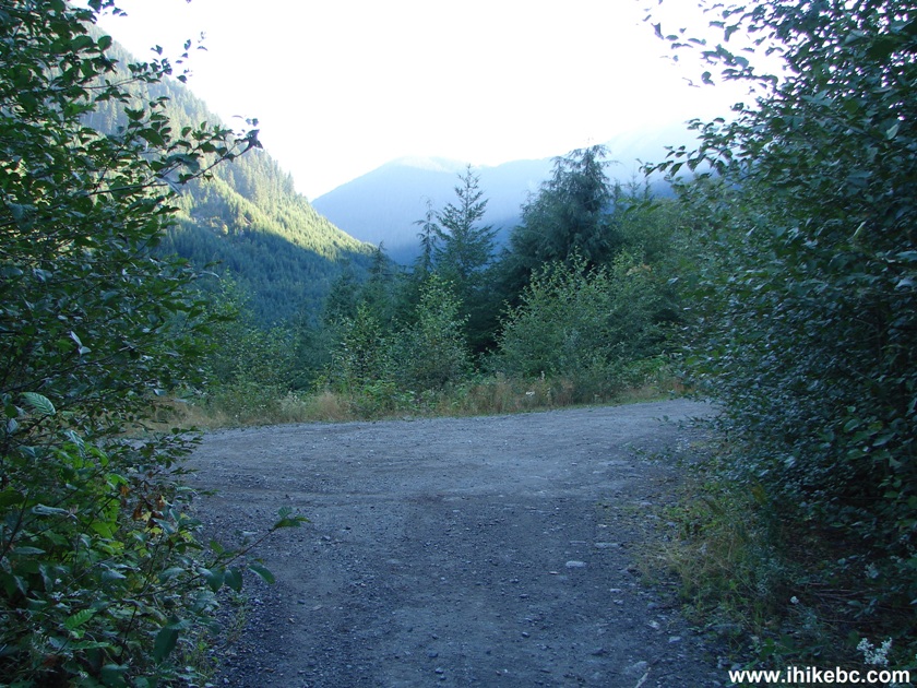
6. Five minutes later, there is a large opening, which might have made for a good camping area but for a slightly uneven surface.
Chilliwack Foley Forest Service Road - Ling Lake Trail BC Canada
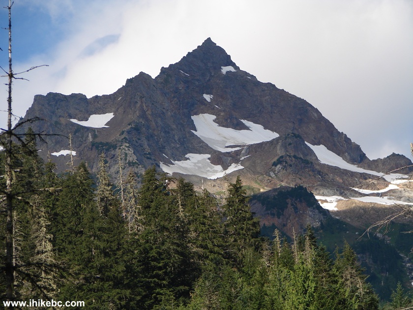
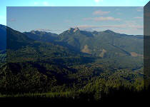
7. But the mountain view from this spot is quite interesting.
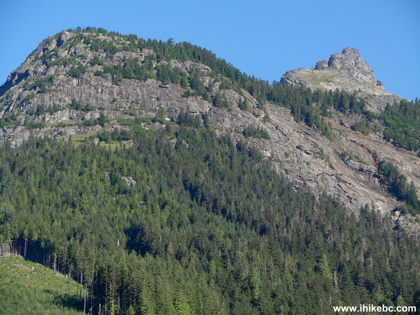
Picture of a Mountain View Chilliwack Foley FSR - Ling Lake Trail BC
Canada
8. The peak resembles a potato.
View of a Mountain Chilliwack Foley FSR - Ling Lake Trail British
Columbia Canada
9. Back on the road.
Chilliwack Foley Forest Service Road - Ling Lake Trail BC Canada
10. One of the best things about exploring back roads is that you just never know what you might find. Like this neat small waterfall (on the right side of the photo). Note that the creek crossing here could be an issue during the spring runoff.

Creek Crossing Chilliwack Foley FSR - Ling Lake Trail BC Canada
11. In the morning, without the sunlight, the waterfall did not look as good as on our way back. Here are the afternoon photos of the "Chilliwack Foley Falls".
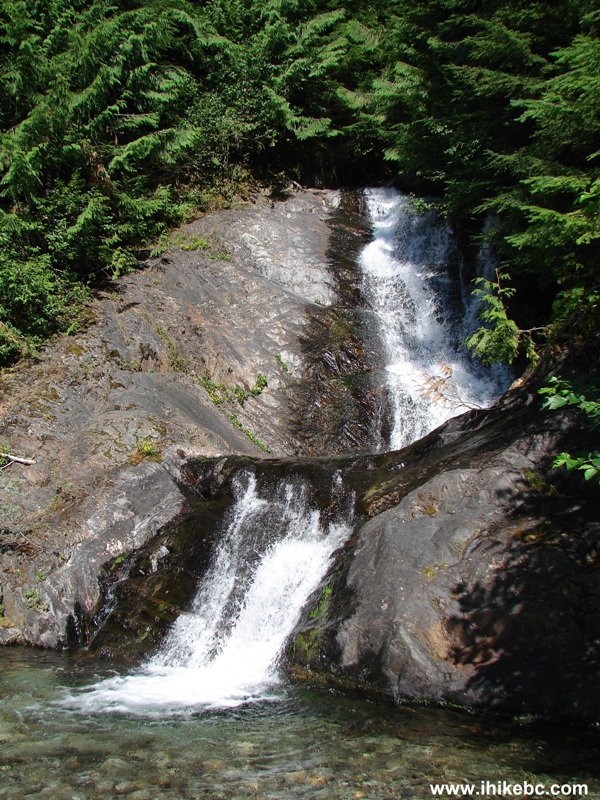
Waterfall Chilliwack Foley FSR - Ling Lake Trail BC Canada
12. From the other side.
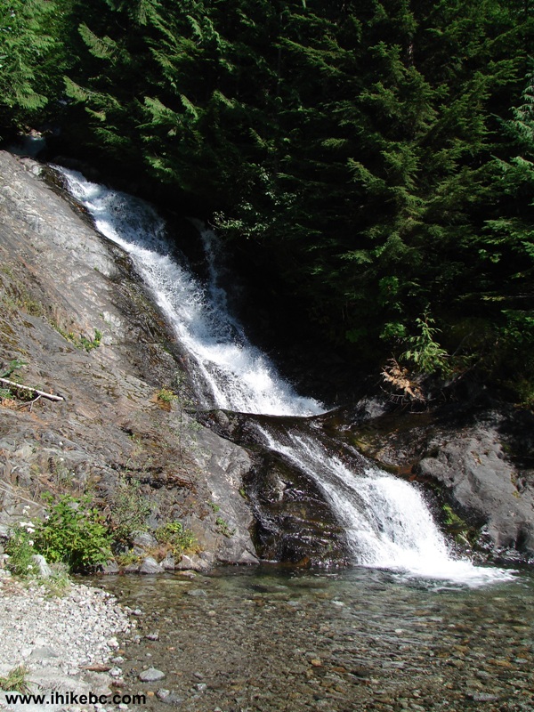
View of a Waterfall Chilliwack Foley FSR - Ling Lake Trail British
Columbia Canada
Here is our video of this waterfall:
More ihikebc videos are on our YouTube Channel
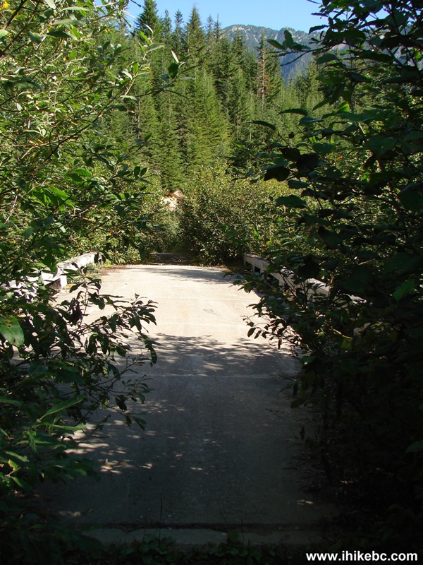
13. About forty minutes after the waterfall, we have reached the first bridge, which is in great shape. Coordinates: N 49⁰09.254' W 121⁰32.304'.
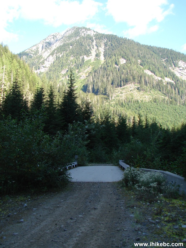
Chilliwack Foley Forest Service Road - Ling Lake Trail BC Canada
14. By this point, the tree cover is minimal.
Chilliwack Foley FSR - Ling Lake Trail British Columbia Canada
15. Exposed mountain side.
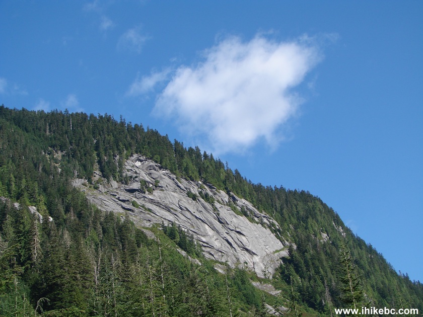
Mountain View Chilliwack Foley FSR BC Canada
16. And, then, the next impressive mountain view appears on the left side.
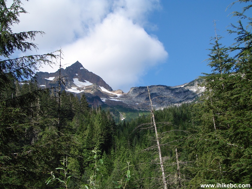
Photo of a Mountain View Chilliwack Foley FSR British Columbia Canada
17. Zooming in.
Mountain View Chilliwack Foley FSR BC Canada
18. Half an hour after the first bridge, we have crossed the second bridge, also in good condition. Coordinates: N 49⁰09.748' W 121⁰32.158'.
Bridge Chilliwack Foley FSR BC Canada
Our Ling Lake Trail Trip Report Continues on Page 2.


|
 |
Other Trips in Chilliwack BC Area:
|
|
|
|
|
|
|
|
|
|
|
|
|
|
|
|
|
Greendrop Lake Trail
|
|
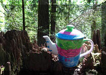
Teapot Hill Trail
|
|
Vedder Rotary Trail
|
|
Mount Thom Trail
|
|
Flora Lake Trail 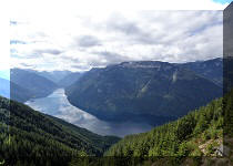 |

Other Trips:


![]()


![]()
![]()
![]()
Follow @ihikebc Tweet
ihikebc.com Trip 070 - Ling Lake Trail Hike (Near Chilliwack BC) Page 1 of 2