![]()
![]()
![]()

Trip 084 - June 27, 2015 (Saturday)
Christina Falls Trail Hike
Off Alaska Hwy near Wonowon BC
Page 1 of 2
Location: Northeastern British Columbia, North of Fort St. John. Turn off
BC Highway 97
(Alaska Highway) onto Upper Halfway Road approximately nine kilometers South of
the town of
Wonowon (mile 101 of Alaska Highway). Proceed for 54.7 km, and then take
Graham River Road. At 64.6 km mark take the road to the right (Upper
Graham FSR). At 96.7 km turn to the right onto Christina Falls Trail
access road. The trail begins approximately 4.5 km after that.
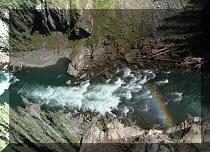
Liked: One good river view, a remote mountain view, the canyon by the waterfall.
Of note: Remote area, no cell phone signal, brutal mosquitoes, numerous deep and wide mud holes make this trail hardly suitable for anything but ATVs, unless the ground is dry. Mini-swamp on the trail. Dangerous waterfall viewing area. Hiking boots and poles are recommended.
Northern BC Backroad Mapbook (3rd edition) Coordinates: Page 65 (Hudson's Hope) C4-B4-A3.
>>> British Columbia Waterfalls Visits.
Until we hiked Christina Falls Trail, the honour for being the most exhausting hike belonged to Mount Outram Trail. But Christina Falls now takes the first place in this category hands down. It took 10.5 hours for a 40+ kilometer round trip, and that's with a bicycle helping to save some time. Getting around the mud holes, fighting off the mosquitoes, and a rather hot day made us tired even before we reached the waterfall. By the time we got back, we were barely moving. Where's an ATV when you need one...
1. We are on Northbound on Highway 97 (Alaska Highway) North of Fort St. John.
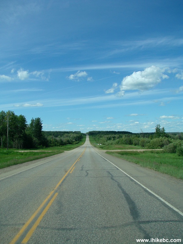
Alaska Highway North of Fort St. John BC Canada
2. Shortly before the town of Wonowon (Mile 101), prepare to turn left onto Upper Halfway Road. The sign would say "Halfway / Graham River". The next sign would say "Halfway River First Nation".
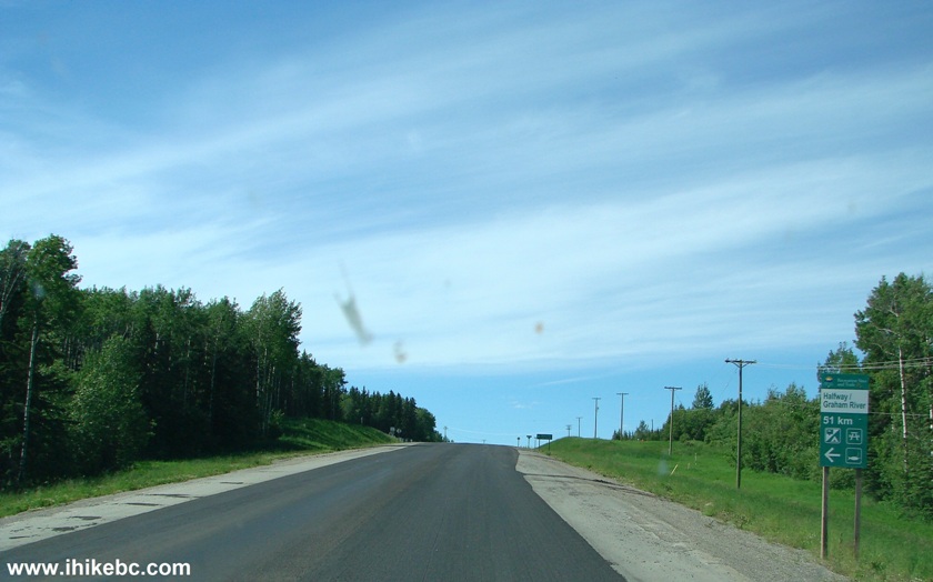
Highway 97 (Alaska Highway) North Near the Turnoff to Upper Halfway Road
3. Here is the turnoff. Lots of various signs there. Coordinates: N 56⁰40.385' W 121⁰41.642'. Zero your odometer after the turn.
Alaska Highway Turnoff to Upper Halfway Road BC Canada
4. Now driving on Upper Halfway Road. There are five or six cattle guards along the way, which look like prison bars on the road surface. These prevent cows from going any further, and would give quite a jar, unless you slow down to about 10-15 km/h. There are signs before each cattle guard, giving plenty of time to reduce your speed.
Upper Halfway Road British Columbia Canada
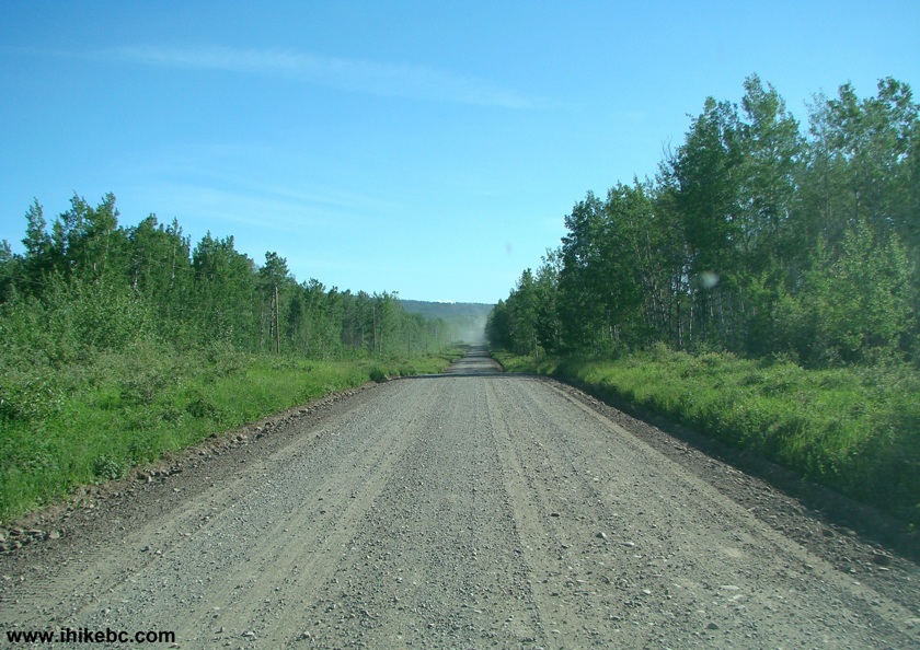
5. Upper Halfway Road has few good views, this being one of them.
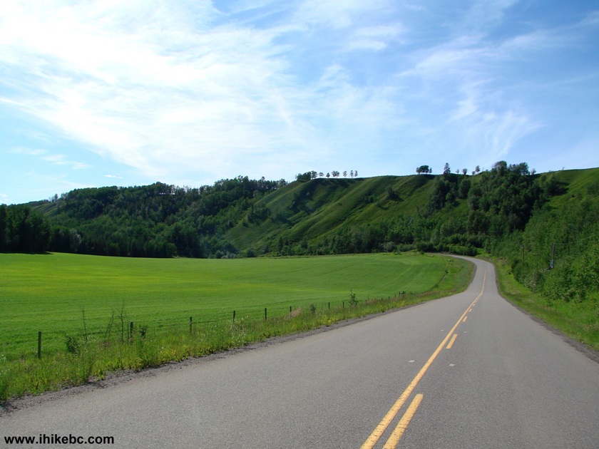
Photo of Upper Halfway Road BC Canada
6. At the 54.4 km mark, there is a bridge across Halfway River.
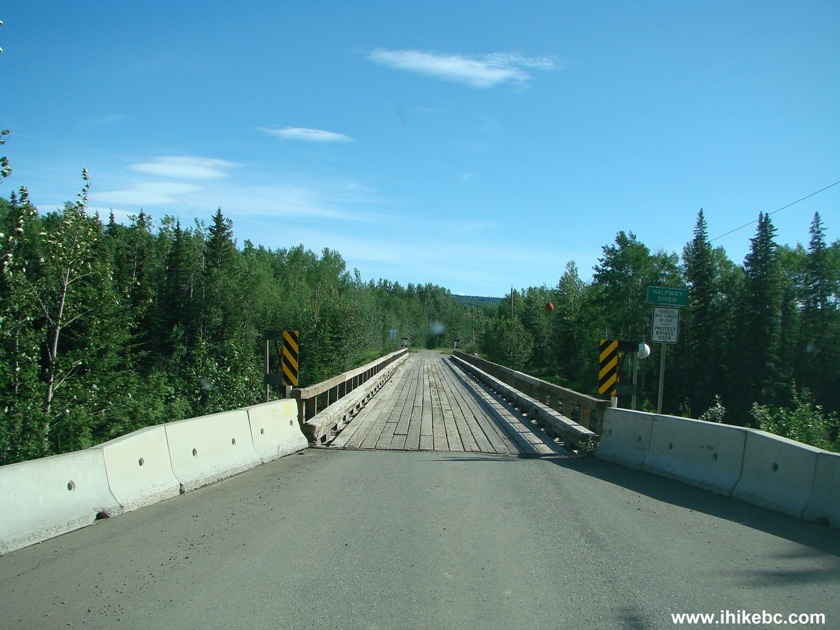
Bridge Across Halfway River on Upper Halfway Rd BC Canada
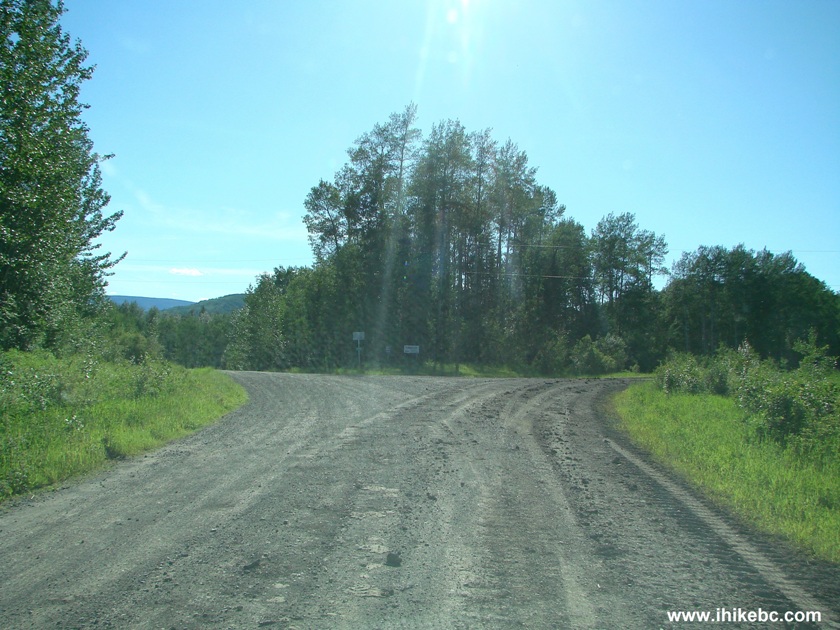
7. After the bridge the asphalt ends, and gravel begins. There is also a 3-way split. To the left is Halfway-Graham Recreation Site. To the right is the continuation of Upper Halfway Road. And straight ahead is Graham River Road, which is where we went to get to Christina Falls. See the big sign ahead?
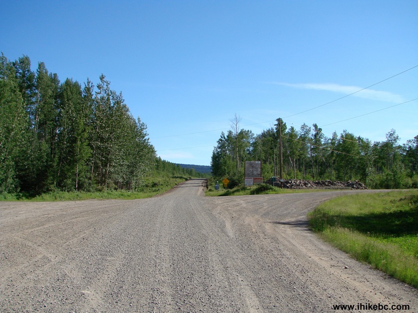
Upper Halfway Road Split With Graham River Road
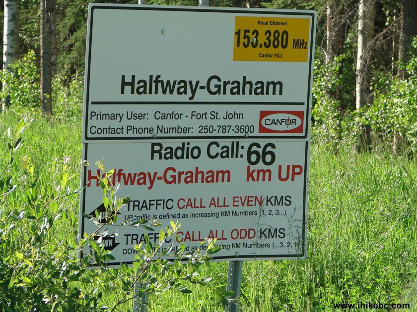
8. Here is that sign up close. A few meters later there is another sign, which advertises Graham River RV Park further down. If you are interested in weekly or monthly only camping with full hook-ups, showers, laundry, and two VIP cabins, the sign directs you to turn left at km 66, and/or to call 250-772-5034.
Start of Graham River Road BC Canada
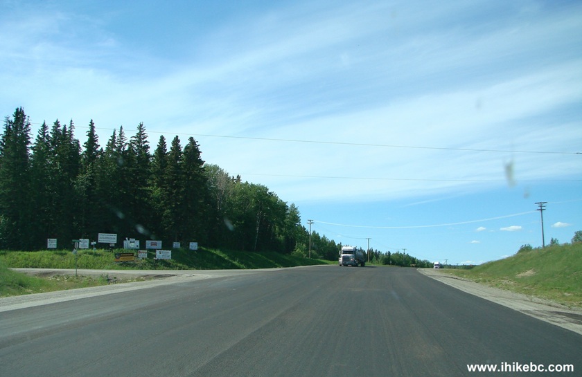
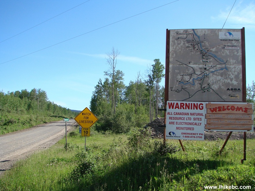
9. Graham River Road features a mostly smooth gravel surface. The first few kilometers, though, you are likely to encounter a lot of traffic, as there is what appears to be a gas plant in that area. The oncoming vehicles raise a lot of dust - watch out for more vehicles coming out of that dust rather unexpectedly.
Graham River Road British Columbia Canada
10. The split below came when the odometer said 64.6, but the mileage marker stated 66. Here you would either turn left onto Wet Creek Road (Backroad Mapbook calls it West Creek Road) to get to Graham River RV Park, or turn right to continue towards Christina Falls.
Wet Creek Road Split With Upper-Graham FSR British Columbia Canada
11. Here is the sign right after we took the road to the right. Now we are on Halfway-Graham Forest Service Road.
Halfway-Graham FSR Start
12. At the 96.7 km mark (on the odometer, anyway) there is a turnoff onto an FSR which leads to Christina Falls. If you miss this turn, you won't go too far. Halfway-Graham FSR ends 4.5 km later, 700 meters past Crying Girl Campground. So, if you find yourself by Crying Girl, turn around, drive for 3.8 km, and look for this Christina Falls turnoff. Coordinates for the turnoff: N 56⁰27.954' W 122⁰49.622'.
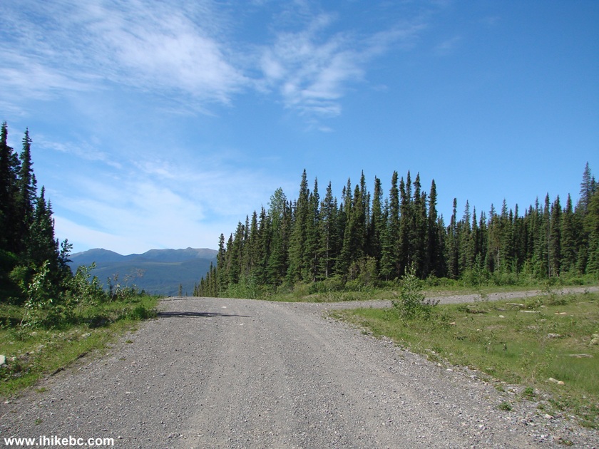
Halfway-Graham FSR Turnoff to Christina Falls Trail Access Road
13. There were no signs directing to Christina Falls. The first indication that we were going in the right direction arrived when we turned onto this new FSR and saw the following:
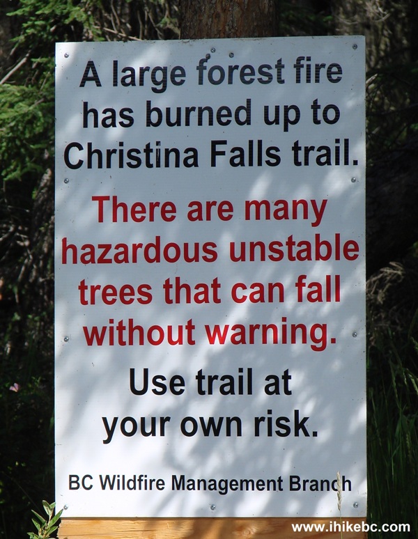
Christina Falls Trail Warning Sign
14. ATV riders seem to unload their rides at a staging area right after the turnoff. But we proceeded further.
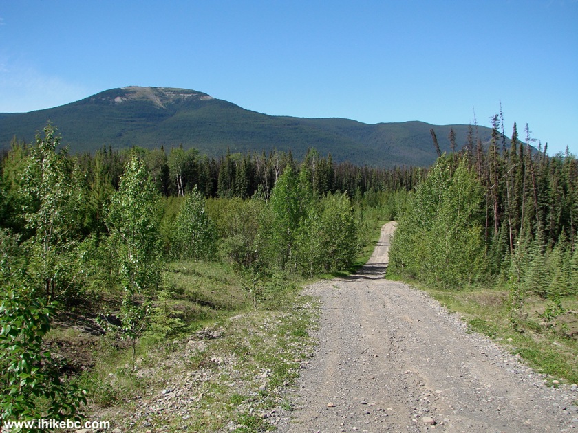
Christina Falls Trail Access Road
15. About four kilometers later, there is a large parking area, after which the road deteriorates, and, soon, ends completely. Thus, we parked before this ditch. Coordinates: N 56⁰28.605'. W 123⁰01.394'. The good news is that, if the road surface is dry, even a low-clearance 2WD would make it at least to Christina Falls FSR turnoff seen in photo #12. The bad news is that, unless you have an ATV, you are going to fight this trail, if it's not dry. And here we are at the end of June already. Perhaps, in mid-to-late August the situation would improve for hikers?
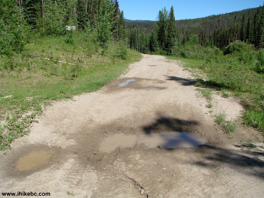
Christina Falls Access Road - End of 2WD Access
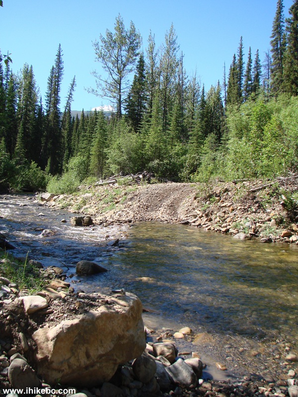
16. We jumped on a bicycle and took off. But not for long. A few hundred meters later, the first creek crossing.
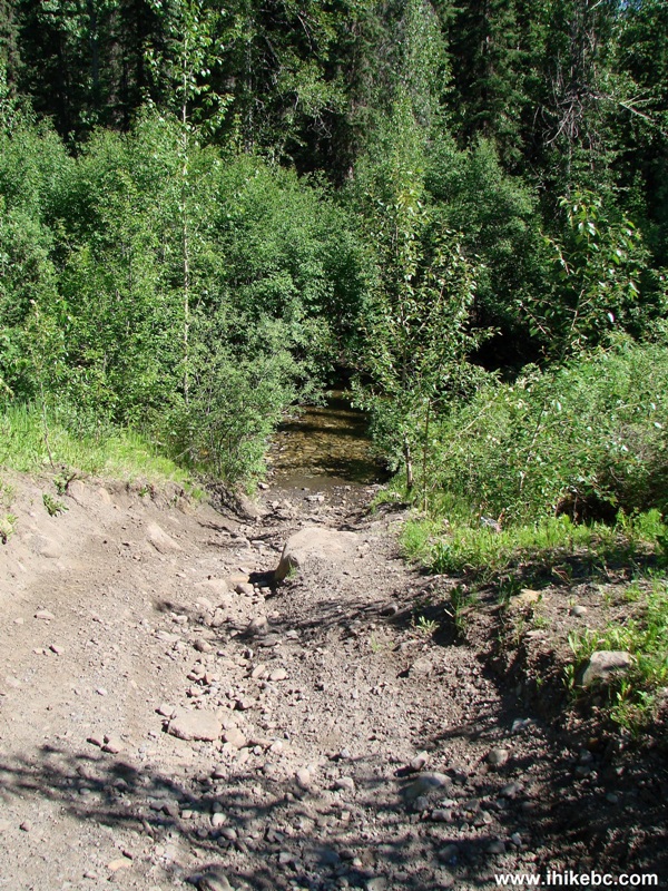
Christina Falls Trail BC Canada
17. Dismount, take off the boots and socks, cross the creek, wipe the feet dry, put on socks and boots, move on.
Creek Crossing Christina Falls Trail BC Canada
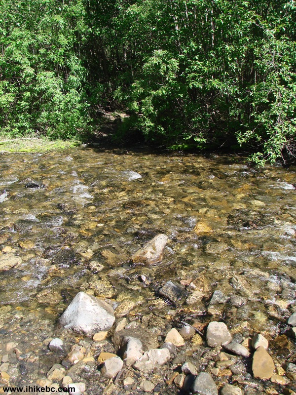
18. Several minutes later, repeat at creek crossing #2.
Christina Falls Trail Creek Crossing
19. Shortly thereafter, time to do it again. We could have walked around this mud hole on foot, but it was not possible to do so while pushing a bicycle, due to the underbrush being too thick on either side.
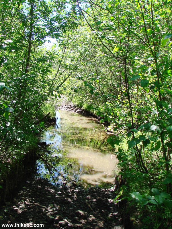
Christina Falls Trail Mud Hole
Our Christina Falls Trail Hike Trip Report Continues on Page 2.


|
 |
Other Trips off Alaska Highway / BC Hwy 97:
|
|
|
|
|
|
|
Other Trips:


![]()


![]()
![]()
![]()
Follow @ihikebc Tweet
ihikebc.com Trip 084 - Christina Falls Trail Hike (Off Alaska Highway / BC Hwy 97) Page 1 of 2