![]()
![]()
![]()

Trip 084 - June 27, 2015 (Saturday)
Christina Falls Trail Hike
Off Alaska Hwy near Wonowon BC
Page 2 of 2
Location: Northeastern British Columbia, North of Fort St. John. Turn off BC Highway 97 (Alaska Highway) onto Upper Halfway Road approximately nine kilometers South of the town of Wonowon (mile 101 of Alaska Highway). Proceed for 54.7 km, and then take Graham River Road. At 64.6 km mark take the road to the right (Upper Graham FSR). At 96.7 km turn to the right onto Christina Falls Trail access road. The trail begins approximately 4.5 km after that.
Liked: One good river view, a remote mountain view, the canyon by the waterfall.
Of note: Remote area, no cell phone signal, brutal mosquitoes, numerous deep and wide mud holes make this trail hardly suitable for anything but ATVs, unless the ground is dry. Mini-swamp on the trail. Dangerous waterfall viewing area. Hiking boots and poles are recommended.
Northern BC Backroad Mapbook (3rd edition) Coordinates: Page 65 (Hudson's Hope) C4-B4-A3.
>>> British Columbia Waterfalls Visits.
Until we hiked Christina Falls Trail, the honour for being the most exhausting hike belonged to Mount Outram Trail. But Christina Falls now takes the first place in this category hands down. It took 10.5 hours for a 40+ kilometer round trip, and that's with a bicycle helping to save some time. Getting around the mud holes, fighting off the mosquitoes, and a rather hot day made us tired even before we reached the waterfall. By the time we got back, we were barely moving. Where's an ATV when you need one...
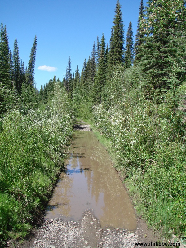
20. Numerous mud holes like this one slowed us down.
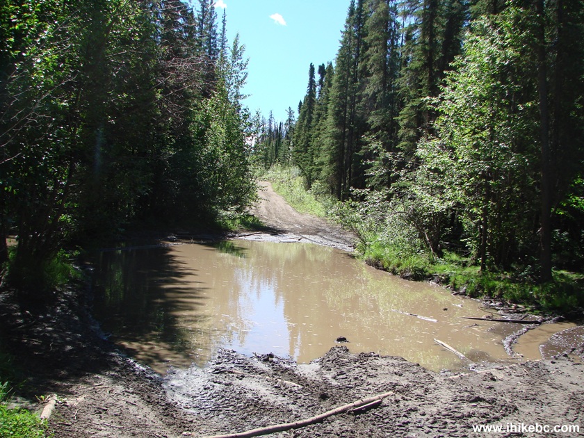
Mud Hole Christina Falls Trail BC Canada
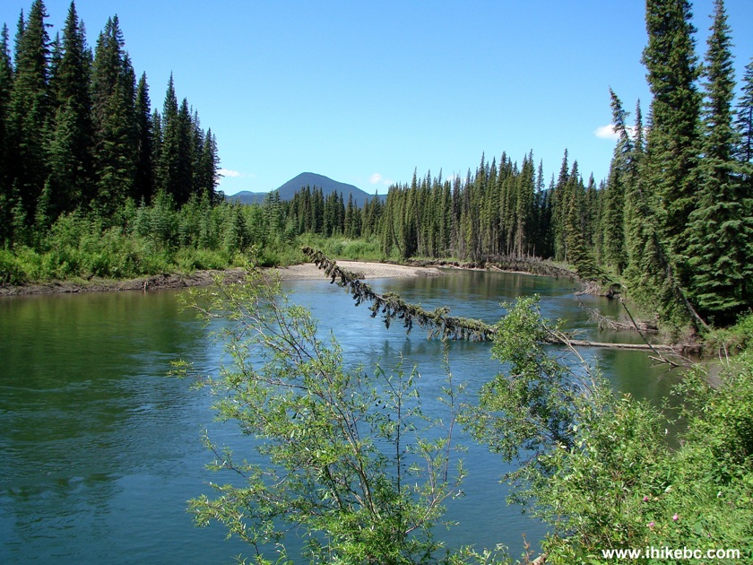
21. One hour fifteen minutes into the hike, the first good view.
Lake View Christina Falls Trail British Columbia
22. Shortly thereafter, there is a split. Stay right.
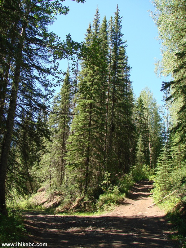
BC Hiking - Christina Falls Trail off Alaska Highway near Wonowon
23. After that, there is the steepest part of the trail. The photograph does not quite convey the grade, but it sure is steep out there. Made for quite a challenge pushing the bicycle up on the way back.
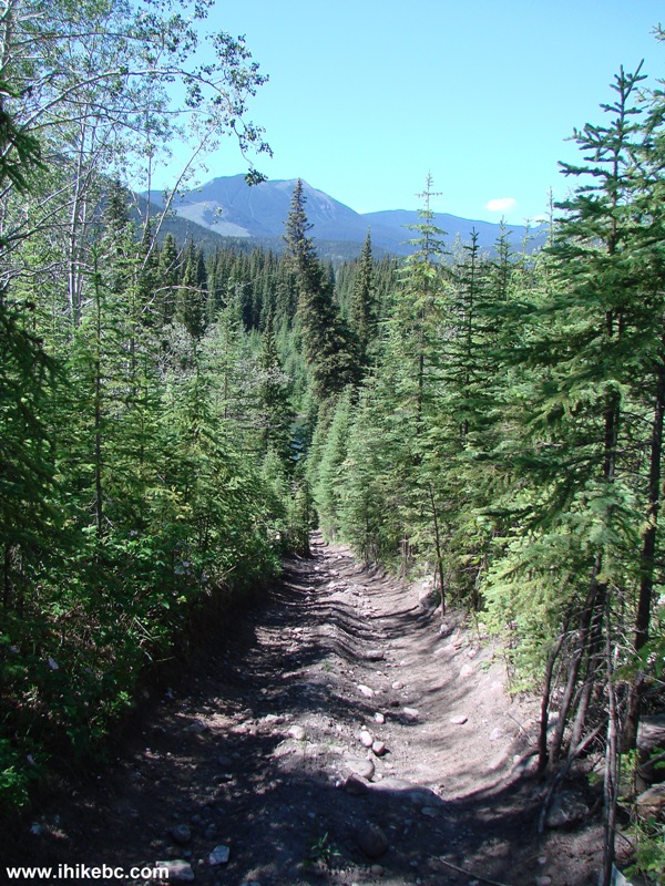
Photo of Christina Falls Trail - Hiking in British Columbia Canada
24. Then, we started hiking along Graham River, and observed this neat view.
Graham River BC Canada
25. This next mud hole turned out to be a serious obstacle, and forced us to go through the bushes on the left.
Mud Hole Christina Falls Trail - Hiking in Wonowon Area
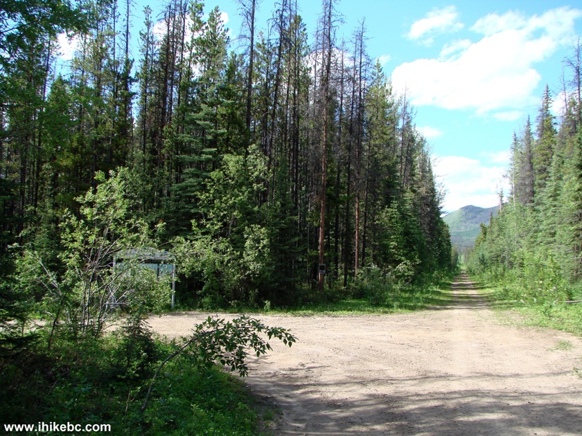
26. The arrival of the burned forest. Ironically, the path was quite dry here, as no tree leaves blocked the sun from taking care of the mud.
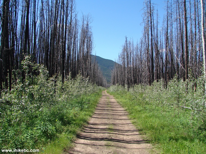
Alaska Highway Hiking - Christina Falls Trail British Columbia Canada
27. Then, there are more mud holes, before the most dangerous part of the trail arrives - there is a mini-swamp there - watch out! There are side trails around it, but they are not very obvious. The ground looks deceptively dry, until it's too late - at one point, our foot went in knee-deep, and we had to crawl out before finding drier ground. Most of that swamp is behind us in the photo below, but here is a part of it.
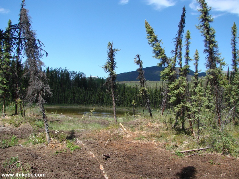
Swampy Area Christina Falls Trail BC Canada
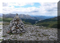
28. Having survived the swamp, the best mountain view of the hike is on the left.
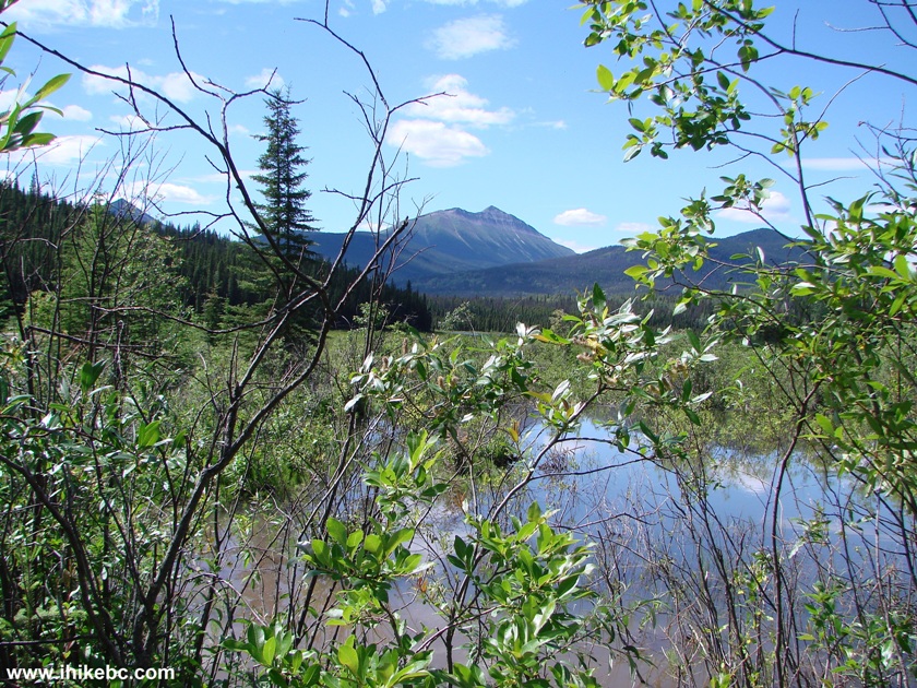
Mountain View Christina Falls Trail
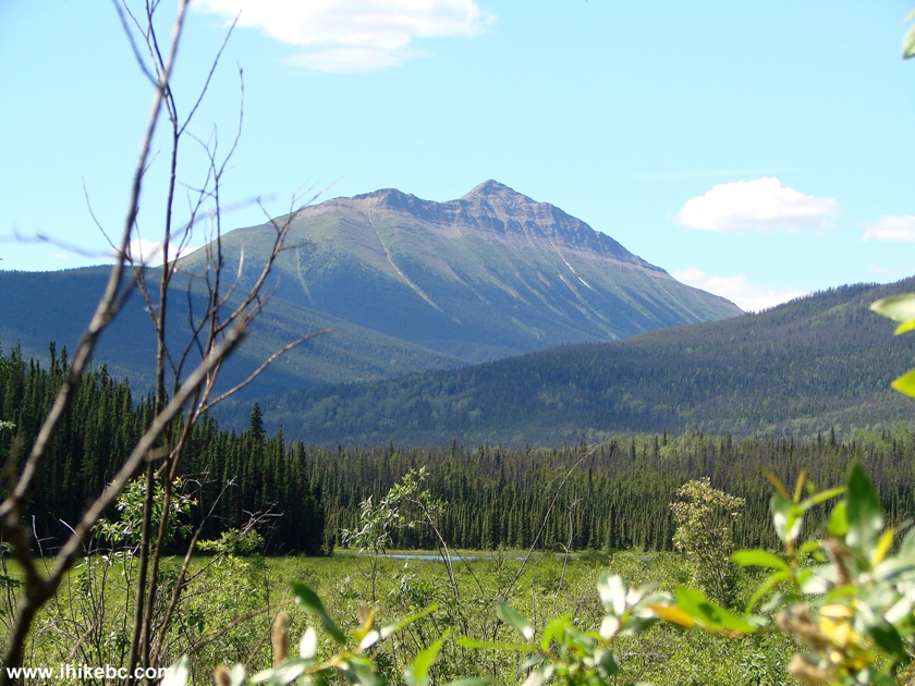
29. Alas, this would be the only view of that mountain. Slightly zoomed in.
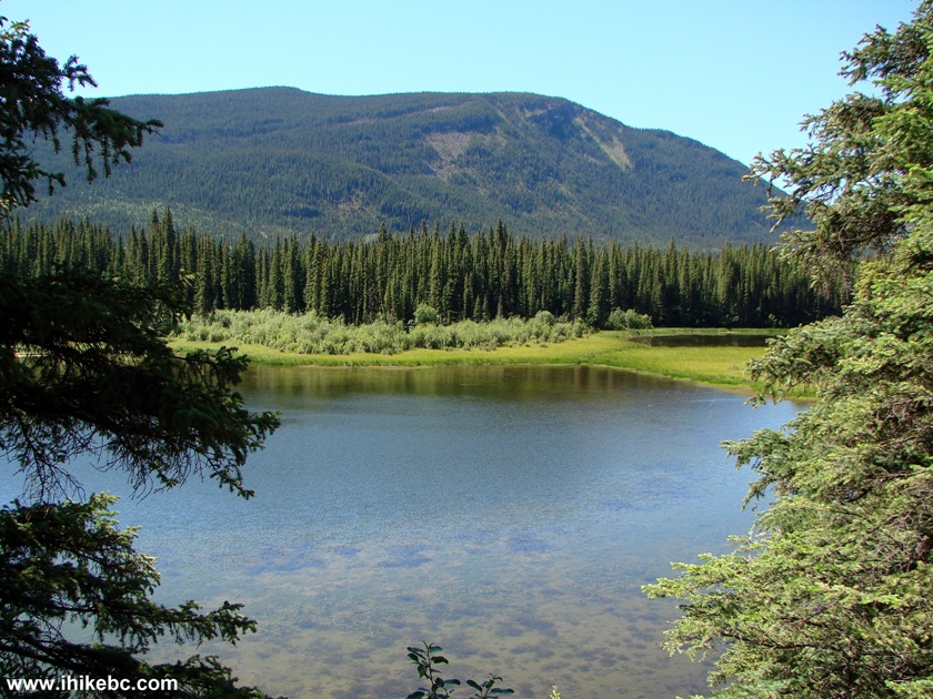
30. And, soon after that, a good lake view.
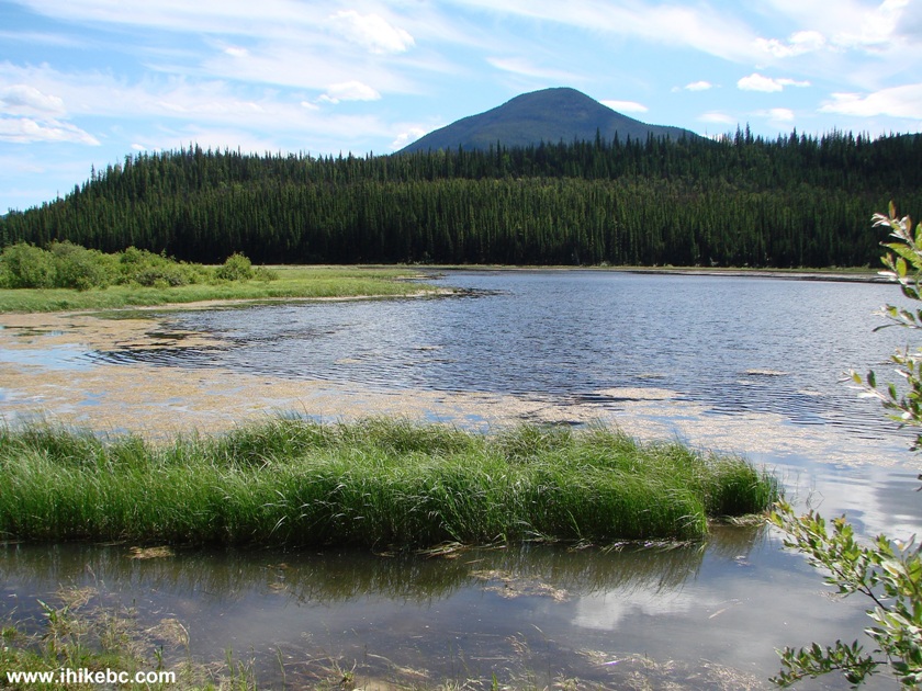
Lake View Christina Falls Trail British Columbia Canada
31. As the mud holes were getting to be too much, we left the bicycle about four kilometers before the waterfall and started hiking. One and a half kilometers prior to Christina Falls, there is a turnoff to the left.
Turnoff to Christina Falls
32. There are some other trails nearby, as we are on the outskirts of Muskwa-Kechika Management Area.
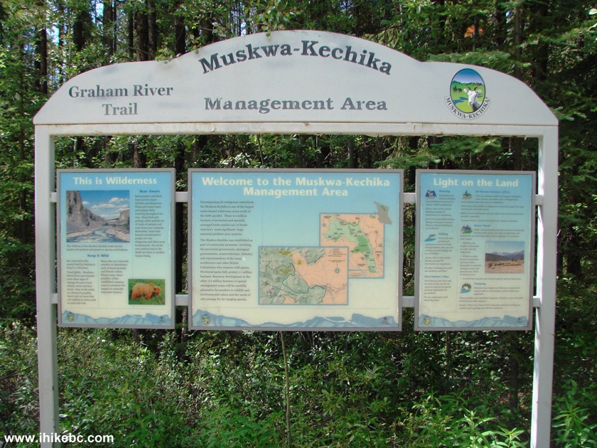
Muskwa-Kechika Management Area Information Stand
33. But, we only had time for the waterfall, so that's where we went.
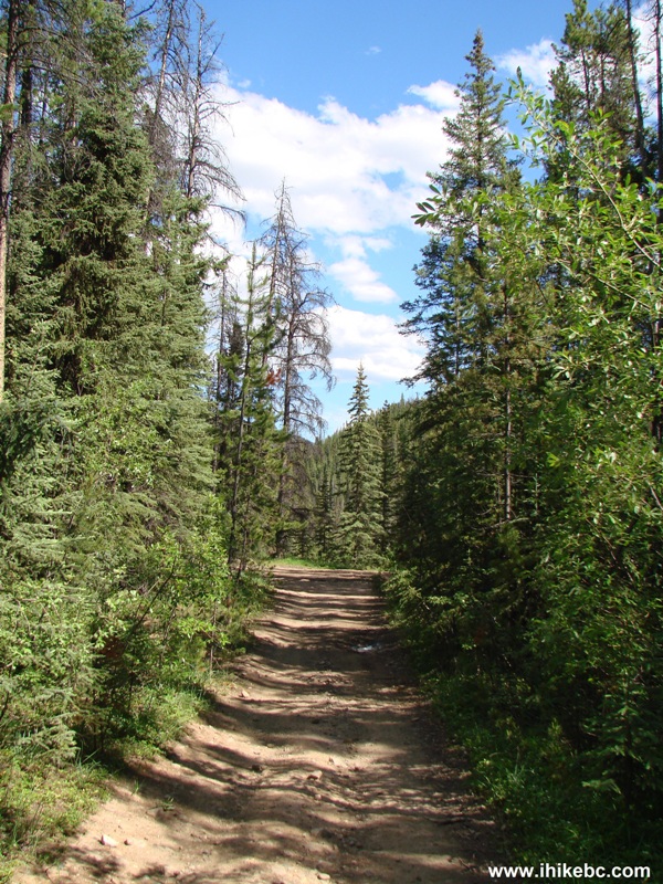
Hike in Wonowon Area -
Road to Christina Falls BC Canada
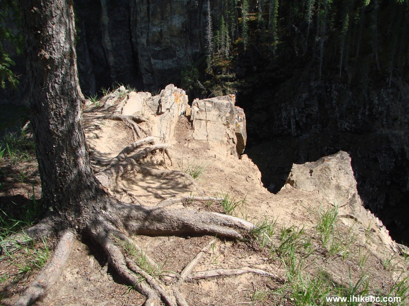
34. Finally, five and a half hours after the start, we have reached Christina Falls. Coordinates: N 56⁰32.892' W 123⁰06.465'. Elevation: 1,016 meters. There is a large flat area there, sufficient to park 20-25 ATVs. But, alas, the waterfall itself, while quite large, is, for the most part, obscured by the rock face. And it's better to come earlier in the morning, as otherwise the sun would be in your eyes when checking out the waterfall. To see the most of what's available from this viewpoint, one has to step on this edge - be very careful, as the drop-off is substantial.
35-36. So, yeah, Christina Falls.
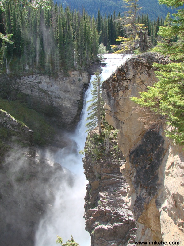
Christina Falls near Wonowon BC
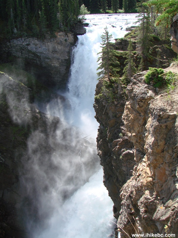
Christina Falls British Columbia Canada
37. Perhaps, there is a way to get a better look by walking around the canyon, but we had neither time nor desire to go any further. Nice canyon view, though.
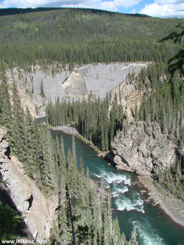
Christina Falls Canyon BC Canada
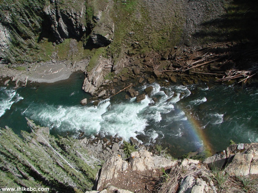
38. Speaking of the steep drop-off...
Here is Our Video of Christina Falls and The Canyon:
More ihikebc videos are on our YouTube Channel.
Then, there was the most exhausting five hour-long trip back ever, so, from that perspective, this sure was an unforgettable hike. Unless the ground is much drier, this trail is not recommended at all. Unless you have an ATV, that is, and enjoy playing in the mud. In which case, the view of Christina Falls just might be a cherry on top of your (mud) cake.


|
 |
Other Trips off Alaska Highway / BC Hwy 97:
|
|
|
|
|
|
|


![]()
![]()
![]()
Follow @ihikebc Tweet
ihikebc.com Trip 084 - Christina Falls Trail Hike (Off Alaska Highway / BC Hwy 97) Page 2 of 2