![]()
![]()
![]()

Trip 254 - May 31, 2022 (Tuesday)
Pender Island BC Visit
Page 1 of 2
Liked: Views from ocean access points, Enchanted Forest waterfall, paintings outside of the Community Hall, a fairly large shopping mall for such a small island, meeting friendly domestic hogs.
Of Note:
A small island with limited services, the roads have no shoulders, and are often narrow and winding - watch for pedestrians, cyclists, and deer. Canal Road past Mount Norman trailhead access road is restricted to 5,000 kg due to a sliding road surface.Vancouver Island, Victoria & Gulf Islands Backroad Mapbook (9th edition) Pender Island Coordinates: Page 12 (Saturna Island) B3-B4 and C3-C4.
Related Websites: Wiki - Pender Island.
Pender Island is one of British Columbia's Southern Gulf islands. A ferry from Swartz Bay or Tsawassen goes to Pender Island. Also, inter-island ferries connect several Southern Gulf islands among themselves. Thus, today we sailed from Galiano Island via Mayne Island to Pender Island, where we drove around for a few hours and also hiked Mount Norman Trail.
This trip report covers interesting sights we found on Pender Island, including views from several shore access points, which are so fine on Galiano Island. The views on Pender were not as impressive, but were quite good, nonetheless. Mount Norman Trail Hike is covered in the next trip report.
1. Here is a Google map of Pender Island.
2. We are on board BC Ferry "Salish Eagle", sailing from Galiano Island to Pender Island via Mayne Island.
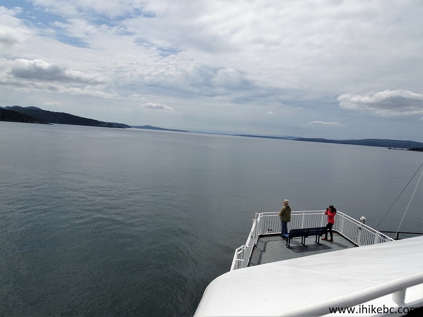
Onboard BC Ferry "Salish Eagle"
3. Approaching Pender Island.
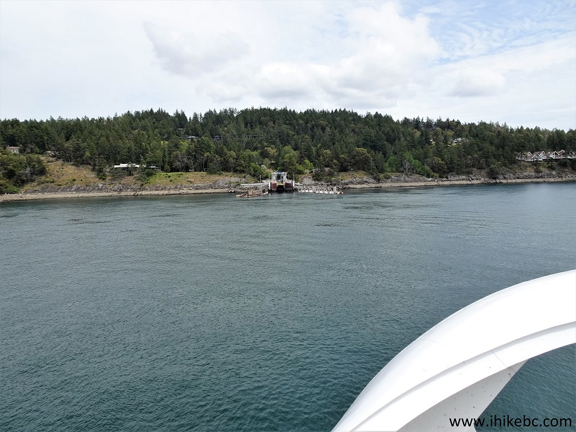
Approaching Pender Island on a Ferry
3. Otter Bay Ferry Terminal is straight ahead.
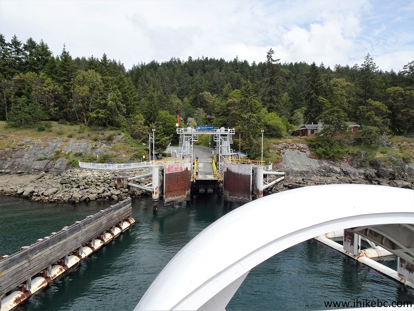
Otter Bay Ferry Terminal Pender Island BC Canada
4. They are waiting for us.
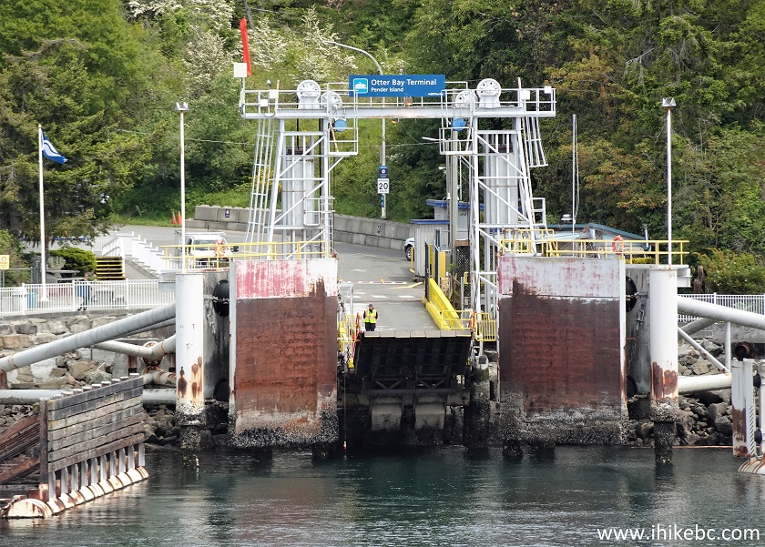
Pender Island Otter Bay Ferry Terminal
Here is our video of approaching Otter Bay Ferry Terminal.
5. Foot passengers and cyclists disembark first, followed by vehicles.
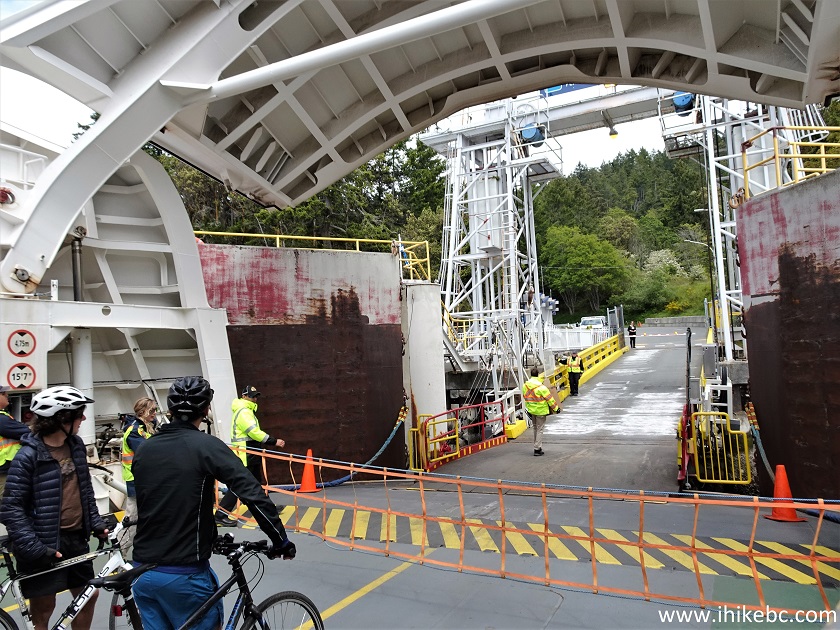
Onboard BC Ferry Salish Eagle Docked at Pender Island
Here is our video of disembarking "Salish Eagle" on Pender Island.
6. We decided to drive around and see what we can find. Just like on Mayne and Galiano, there are no shoulders on Pender Island roads.
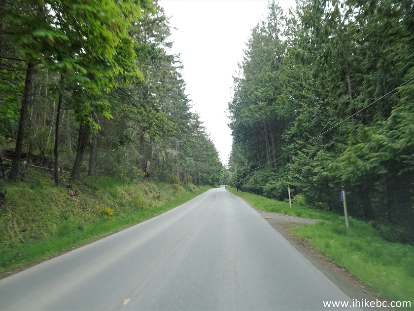
Pender Island BC Canada
7. Like on Mayne (but not like on Galiano), there are hitchhiking "car stops" on Pender Island, which feature exactly the same sign design and exactly the same poem.
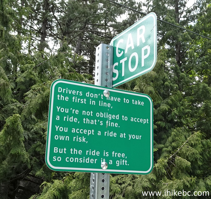
Pender Island Car Stop
8. We are now on Otter Bay Road, ready to make a right turn onto Bedwell Harbour Road.
Otter Bay Road Pender Island BC
9. Almost immediately, Pender Island Community Hall would be on the left side.
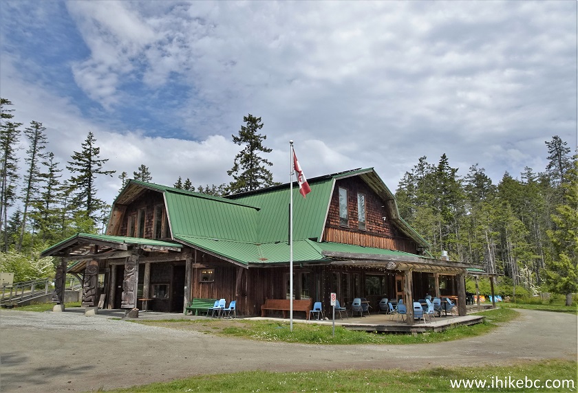
Pender Island Community Hall
Here is our video of driving on Pender Island from ferry terminal to the community hall.
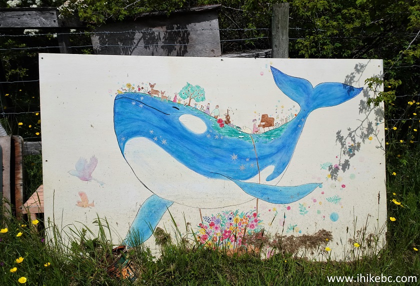
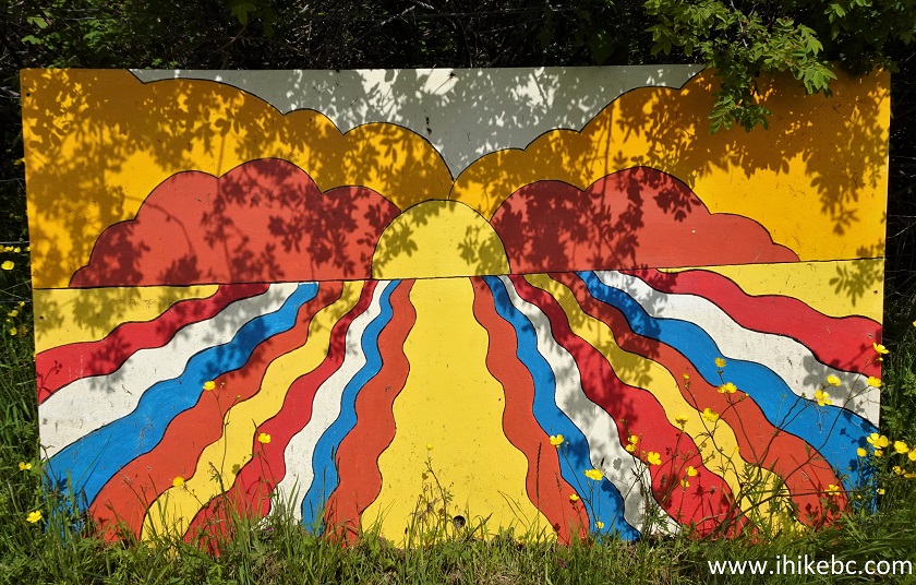
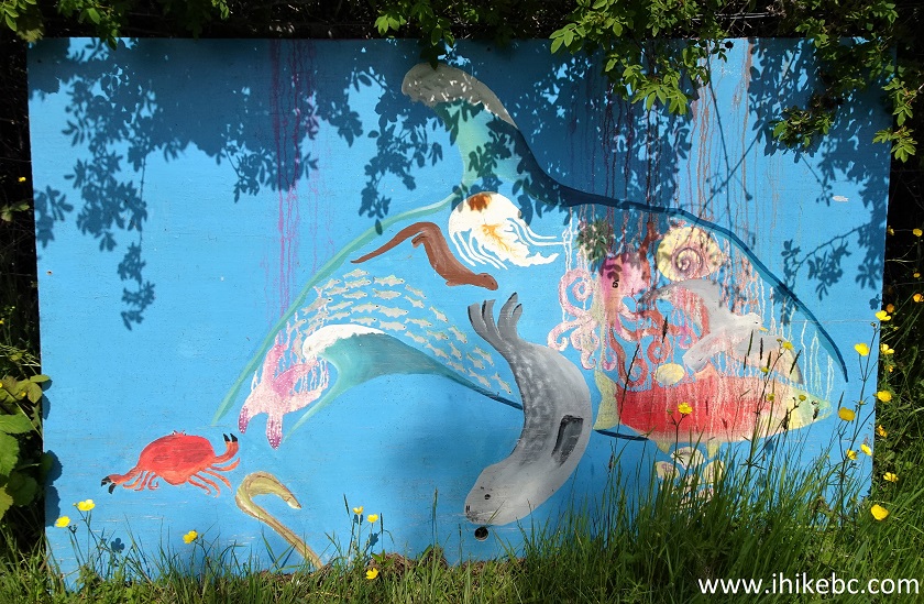
10-11. A small building behind the Community Hall has three paintings just sitting there under the open sky.
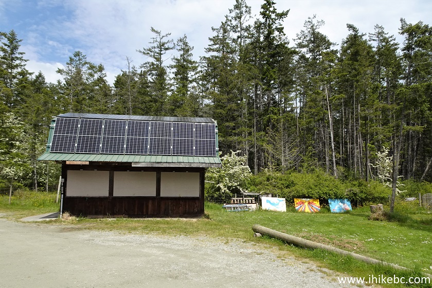
Community Hall Pender Island BC Canada
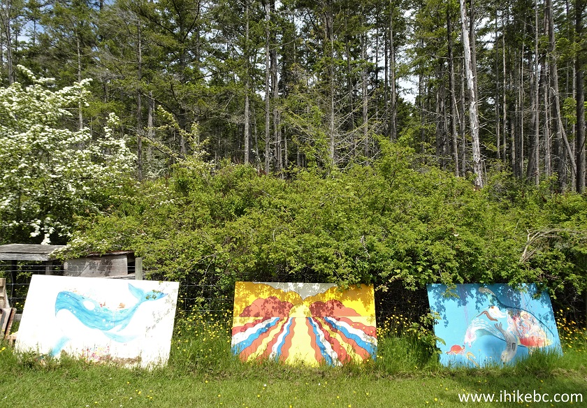
12-14. These are very pleasant paintings indeed.
15-16. We then started driving again, and encountered a trio of very cute and curious domestic hogs.
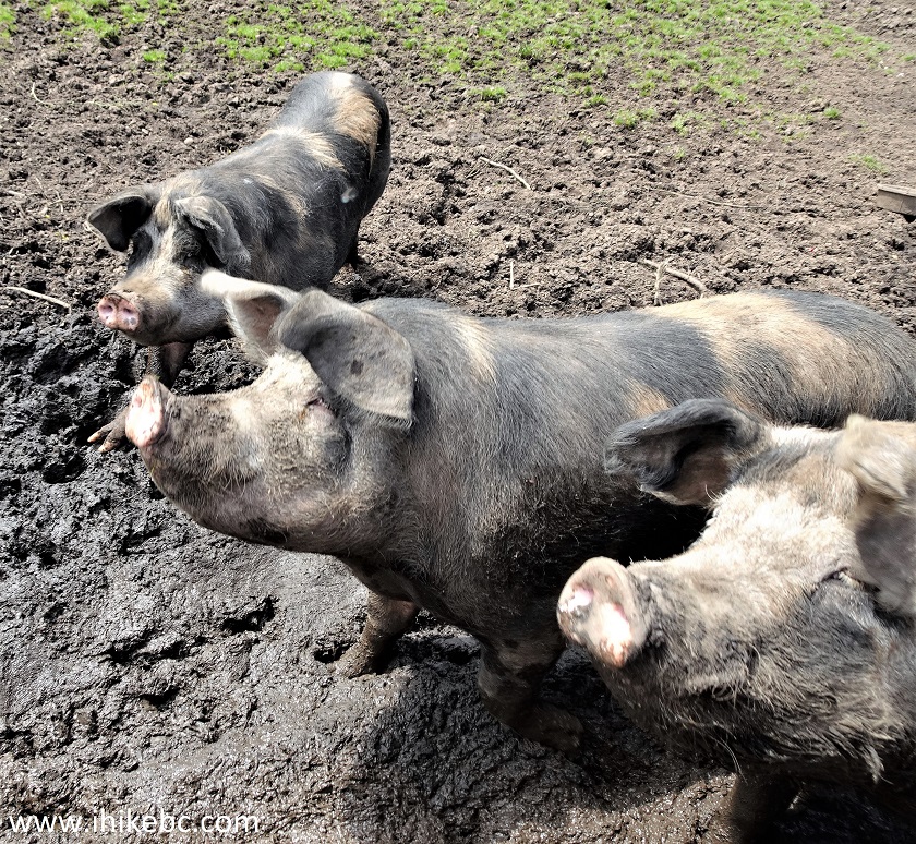
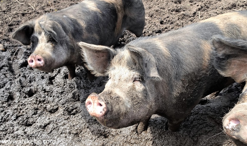
Pender Island Hogs
Here is our video of these hogs.
More ihikebc videos are on our YouTube Channel.
17. The northern and southern parts of Pender Island are connected by a single-lane bridge.
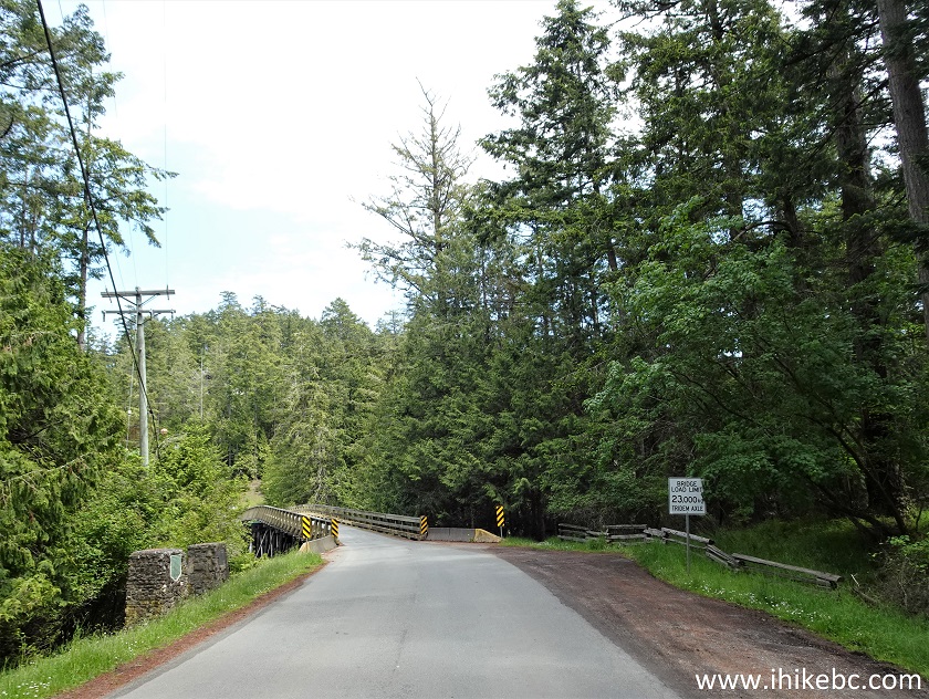
Pender Island - British Columbia - Canada
18. There used to be a portage here.
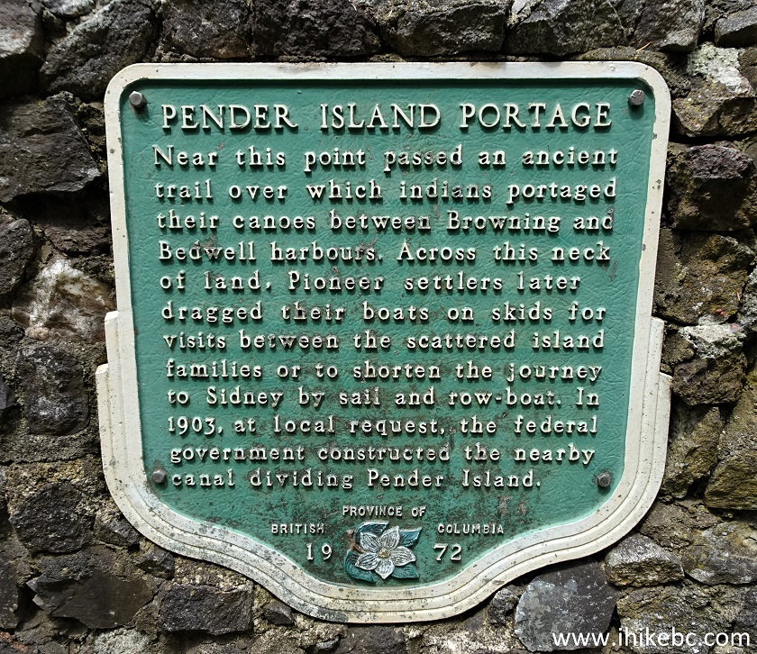
Pender Island Portage Information Sign
19. A closer look at the bridge.
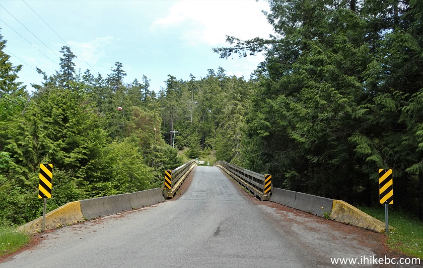
Bridge connecting North Pender and South Pender Islands
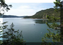
20. A view from the bridge, looking left.
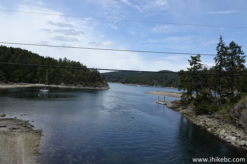
View from Pender Island connector bridge
21. If you drive a large vehicle, take note that Canal Road just past Mount Norman trail access road is restricted to the maximum weight of 5,000 kg due to a sliding road surface.
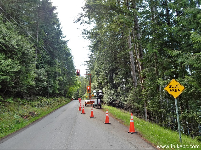
Canal Road Pender Island British Columbia
22. After that, we started checking out the views from various ocean access points. Perhaps, there is a brochure which lists all such points, just like the one made for Galiano Island, but we just looked at our automotive GPS and took the roads which ended near the ocean. Sure enough, ocean accesses were there more often than not. Here we are at the end of Gowlland Point Road (southern Pender Island).
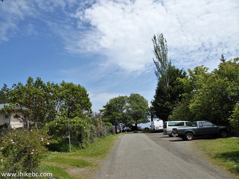
Pender Island BC Gowlland Point Road
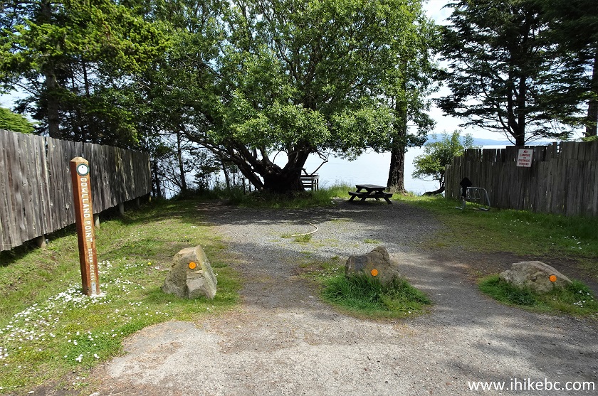
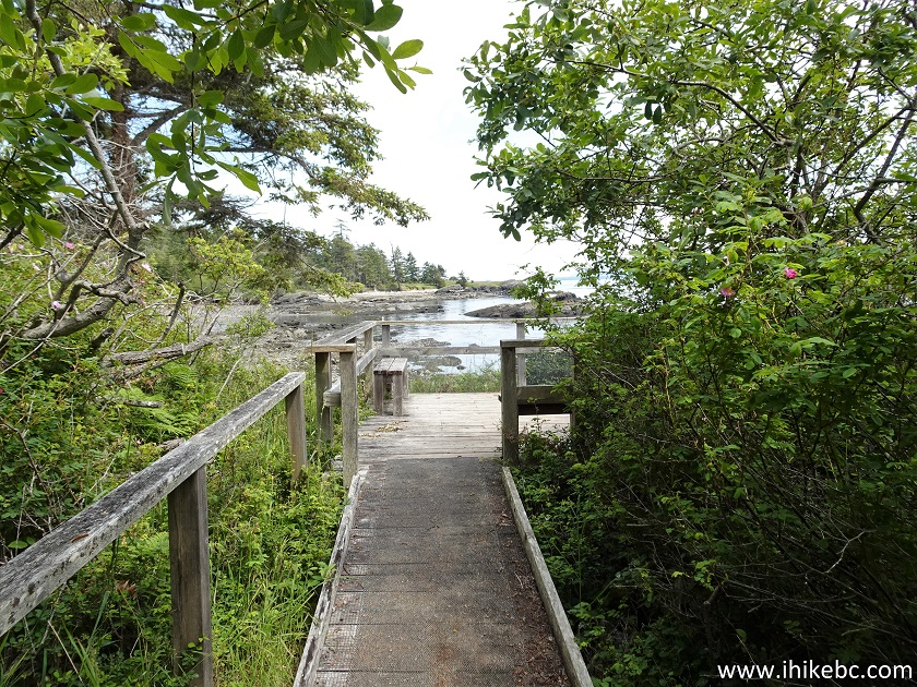
23. Ocean Access Points on Pender Island have these small wooden posts with a name of the access point.
Pender Island BC
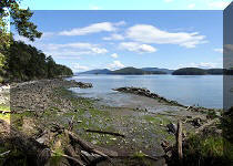
24-26. And here are Gowlland Point Road ocean views. Pender Island views generally do not match the best of what Galiano Island has to offer, but are not bad either. Left to right.
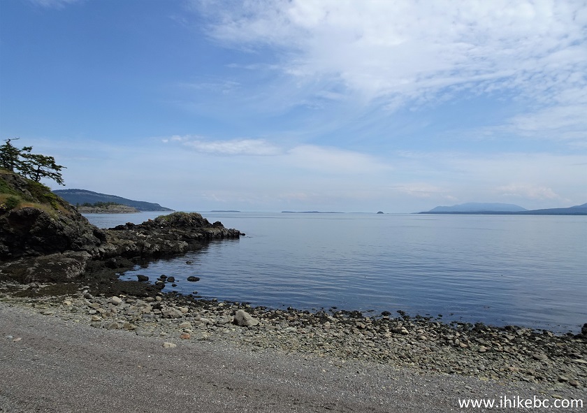
Gowlland Point Road Ocean Access Point on Pender Island BC
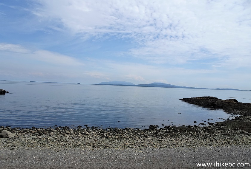
Pender Island British Columbia Canada
Pender Island
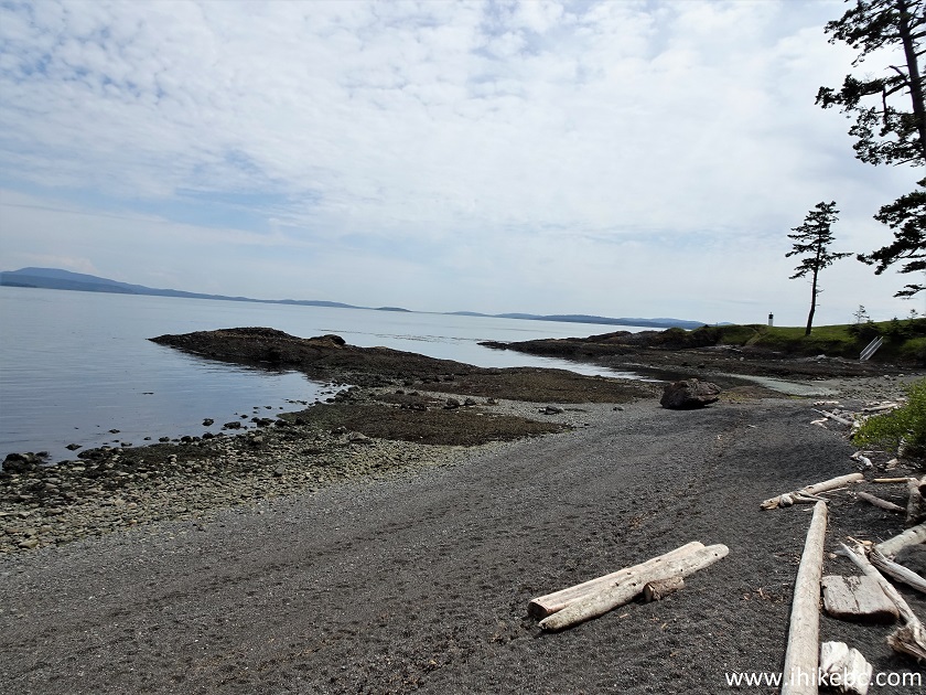
27. And this is Drummond Bay Ocean Access Point at the end of Higgs Road off Gowlland Point Road.
Drummond Bay Ocean Access Point Pender Island BC
28. A staircase leads to the beach.
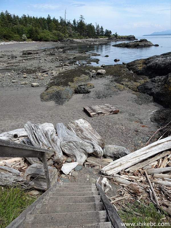
Pender Island Drummond Bay Ocean Access Point
29. Drummond Bay on Pender Island.
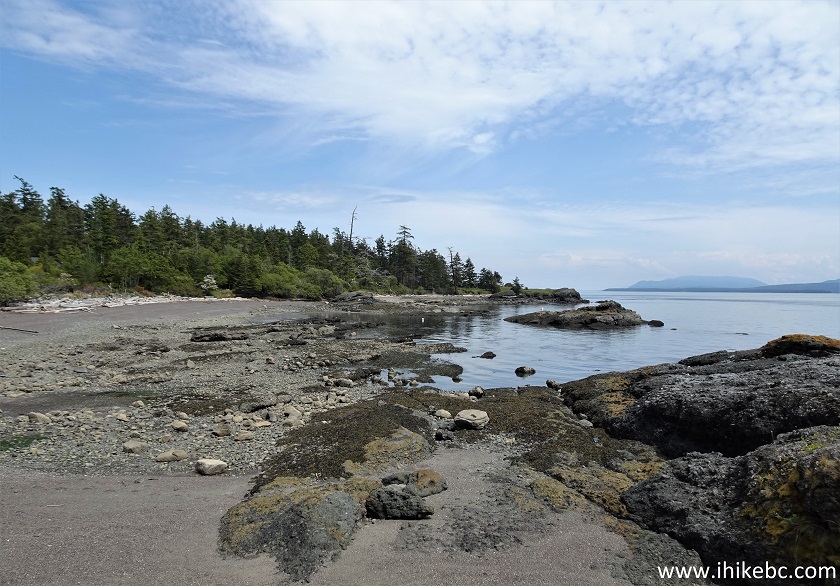
Drummond Bay Pender Island BC
30. Also on Gowlland Point Road there is this very fine mailbox.
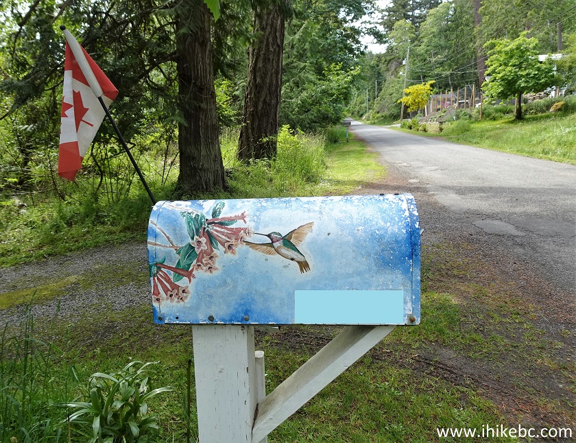
Mailbox on Pender Island British Columbia
Our Pender Island Visit Trip Report Continues on Page 2.


|
 |
Other Trips:


![]()
![]()
![]()
ihikebc.com Trip 254 - Pender Island BC Visit (Page 1 of 2)