![]()
![]()
![]()

Trip 254 - May 31, 2022 (Tuesday)
Pender Island BC Visit
Page 2 of 2
Liked: Views from ocean access points, Enchanted Forest waterfall, paintings outside of the Community Hall, a fairly large shopping mall for such a small island, meeting friendly domestic hogs.
Of Note:
A small island with limited services, the roads have no shoulders, and are often narrow and winding - watch for pedestrians, cyclists, and deer. Canal Road past Mount Norman trailhead access road is restricted to 5,000 kg due to a sliding road surface.Vancouver Island, Victoria & Gulf Islands Backroad Mapbook (9th edition) Pender Island Coordinates: Page 12 (Saturna Island) B3-B4 and C3-C4.
Related Websites: Wiki - Pender Island.
Pender Island is one of British Columbia's Southern Gulf islands. A ferry from Swartz Bay or Tsawassen goes to Pender Island. Also, inter-island ferries connect several Southern Gulf islands among themselves. Thus, today we sailed from Galiano Island via Mayne Island to Pender Island, where we drove around for a few hours and also hiked Mount Norman Trail.
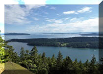
This trip report covers interesting sights we found on Pender Island, including views from several shore access points, which are so fine on Galiano Island. The views on Pender were not as impressive, but were quite good, nonetheless. Mount Norman Trail Hike is covered in the next trip report.
31. Next is Craddock Drive Beach Access.
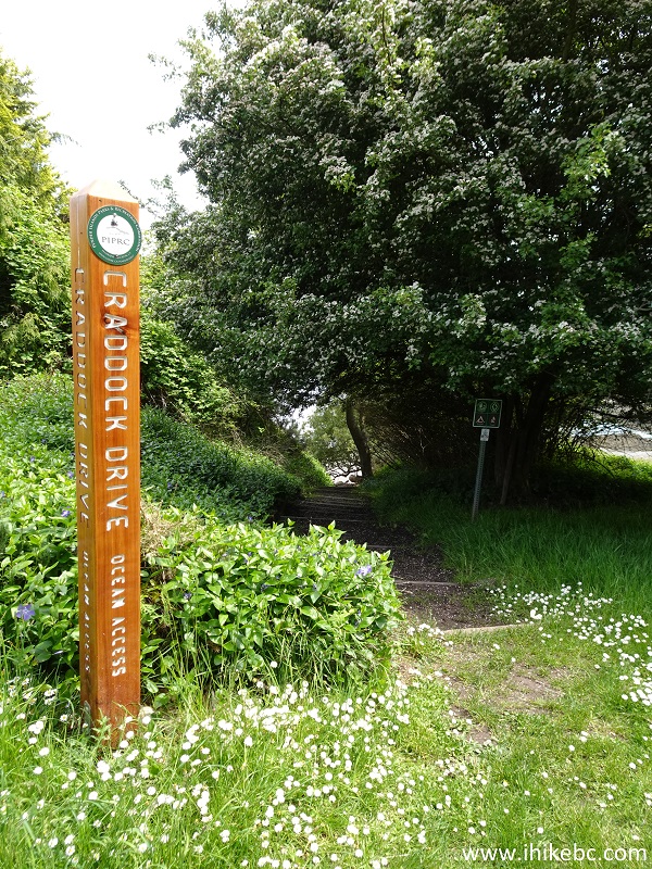
Craddock Drive Ocean Point Access Pender Island BC Canada
32. A pleasant walk down the stairs, and...
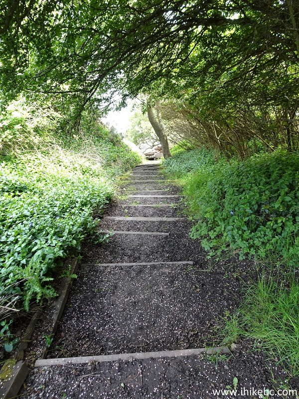
Pender Island British Columbia
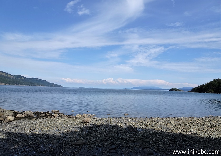
33...here is the beach.
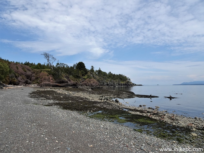
Pender Island BC
34. We are now en route to Connery Crescent viewpoint, having parked about 100 meters back.
Pender Island British Columbia Canada
35. The viewpoint is much overgrown, but the bench allows for spending quality time in a quiet and peaceful area.
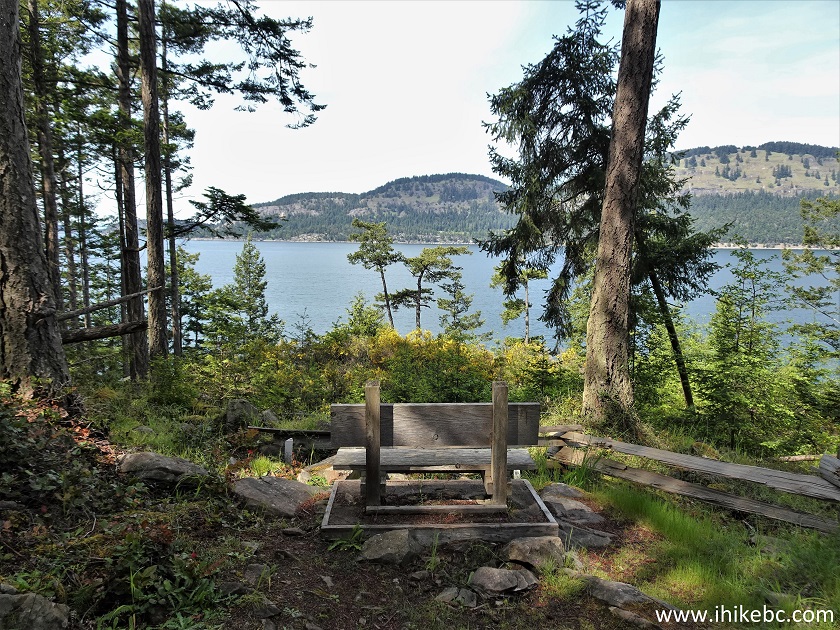
Connery Crescent Viewpoint Pender Island BC
36. Another staircase leads to Ancia Road (by Conery Road) Beach Access.
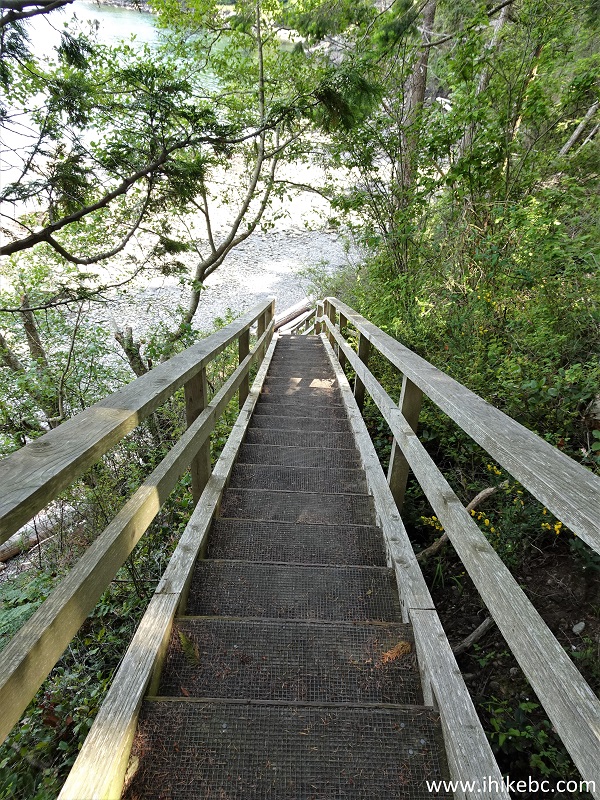
Ancia Road Beach Access Staircase Pender Island BC
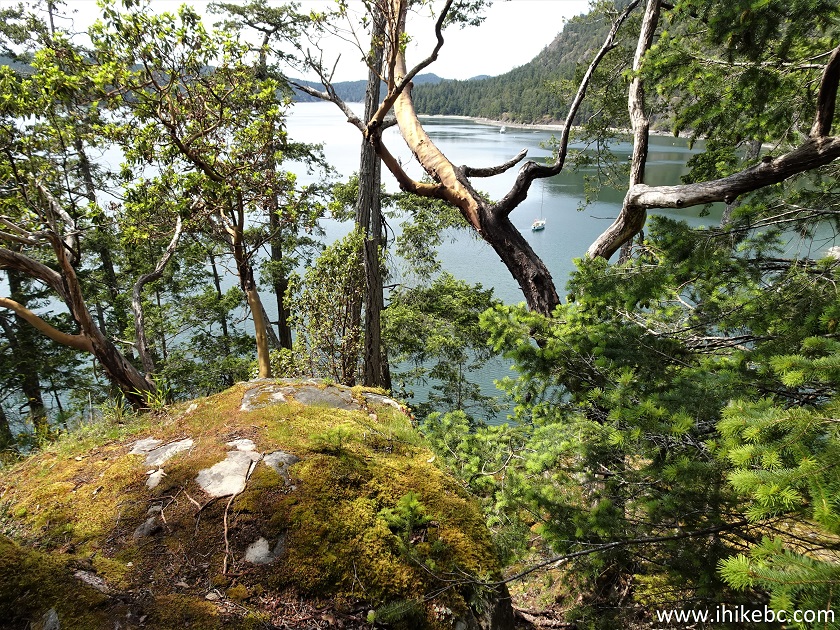
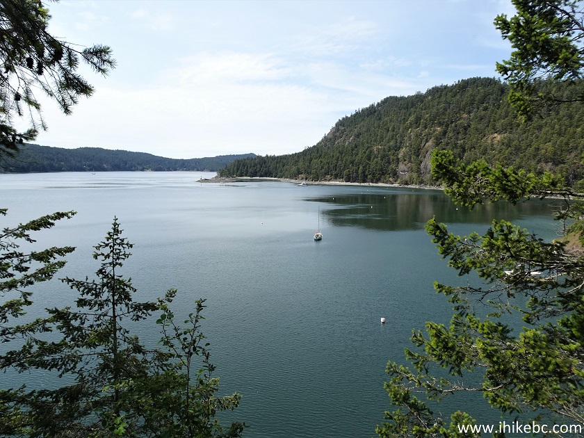
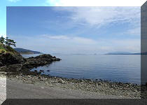
37-39. The views are quite decent here, including Saturna Island on the left side. Left to right.
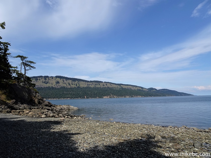
Saturna Island view from Pender Island BC
View from Pender Island Ancia Road Beach Access Point
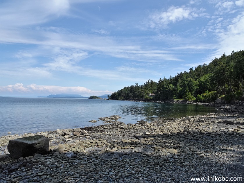
Pender Island BC
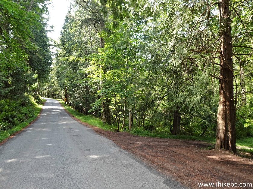
40. And now we are on Spalding Road at the trailhead to Enchanted Forest waterfall and viewpoint. Coordinates: N 48°44.900’ W 123°13.458’ Elevation: 70 meters. The forest itself is much larger than the part we have explored.
Pender Island Spalding Road Enchanted Forest Access
41. Here is the trailhead. The path to the waterfall is on the left. The path behind us (not seen) goes towards the rest of the Enchanted Forest.
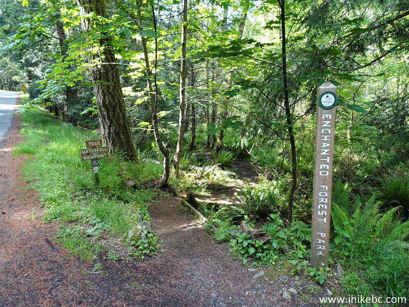
Enchanted Forest Park Pender Island BC
42. An easy path leads to a bench 180 meters from the trailhead.
Enchanted Forest Pender Island BC
43. The bench overlooks the much obstructed waterfall.
Pender Island Enchanted Forest
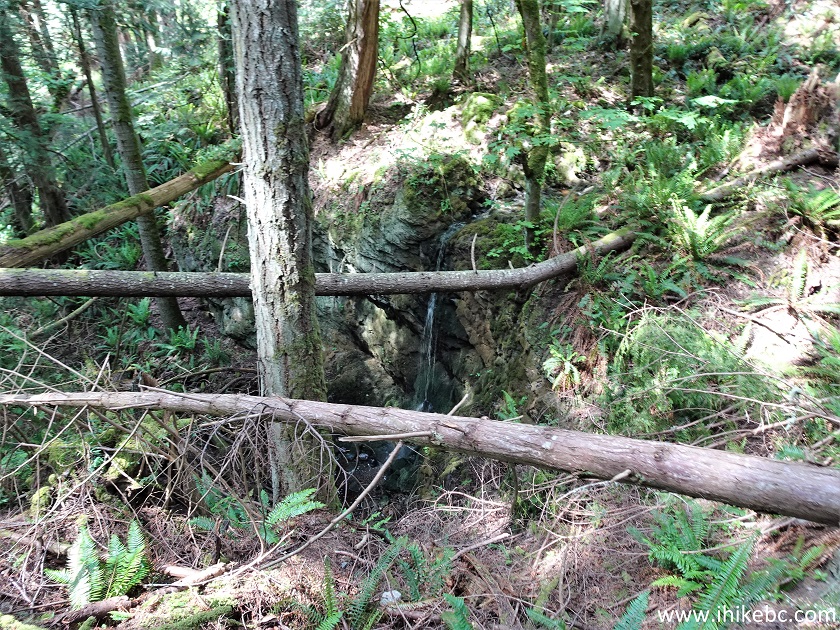
44. It is possible to get closer for a better look, but watch out for the steep terrain and drop-offs. It's a decent waterfall, though a better flow would make it look more appealing.
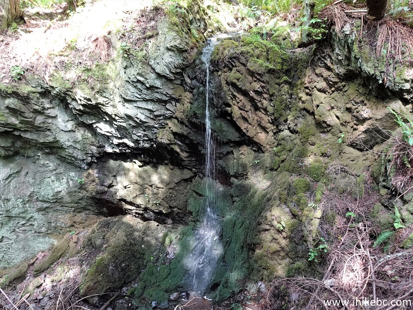
Enchanted Forest Waterfall Pender Island BC
Here is our video of the Enchanted Forest waterfall.
More ihikebc videos are on our YouTube Channel.
45. The path just past the bench. Keep left.
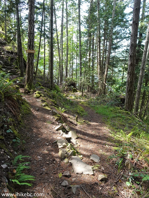
Enchanted Forest Pender Island BC Canada
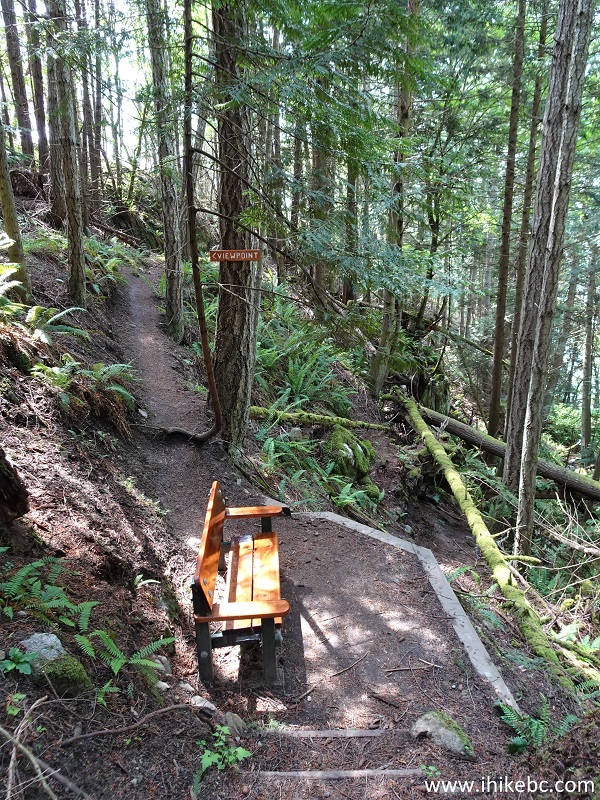
46. 350 meters from the trailhead (and 170 meters from the waterfall), the path ends at yet another bench.
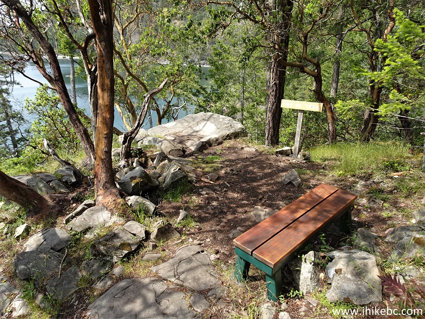
Pender Island Enchanted Forest British Columbia
47. Alas, the view leaves much to be desired.
Pender Island BC
48. If you want a better view, go forward for a bit, but be very careful - there are serious unbarricaded drop-offs out there, especially on the right side.
British Columbia
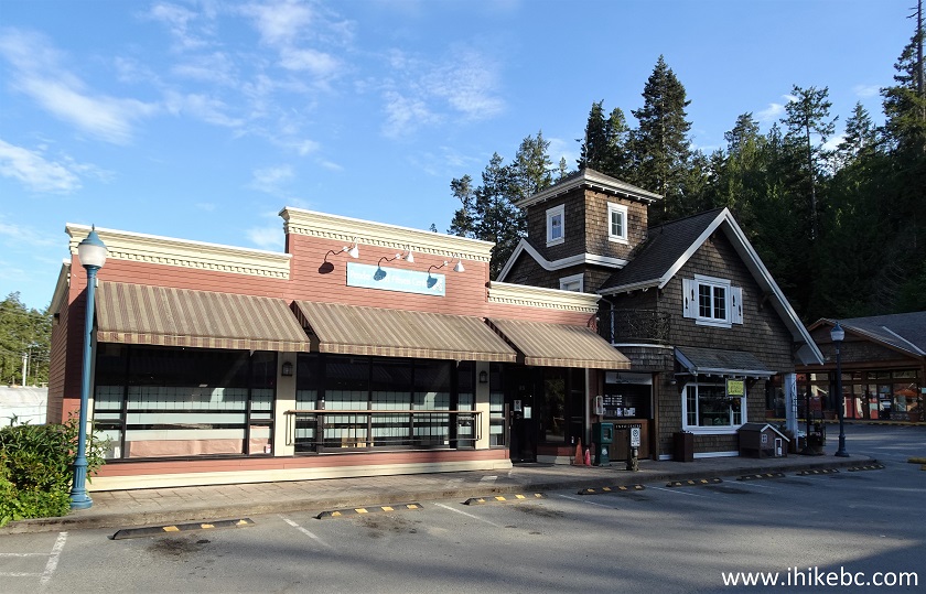
49. All shops on Pender Island appear to have gathered in one place, closer to the middle of the island - 4621 Bedwell Harbour Road. It's actually quite impressive to have a shopping mall like that on such a small island. There is a gas station, a decent-size grocery store, and a bunch of other businesses. There is even a coin-operated potable water dispenser, though it was broken during our visit. A gym has permanently closed, in case anyone is wondering.
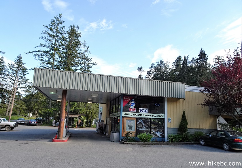
Pender Island Gas Station
50. Pender Island shopping mall walkway.
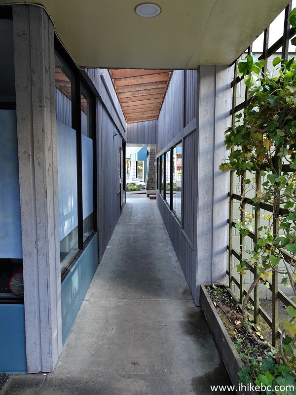
Pender Island Shopping Mall Walkway
51. Tasteful architecture too.
Pender Island BC
52. A Garden Centre.
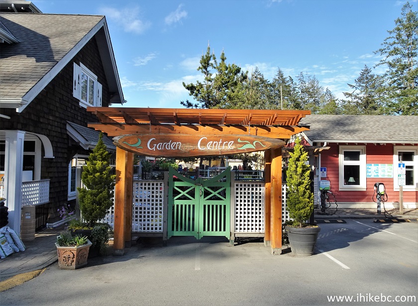
Pender Island Garden Centre
53-54. We then drove around a bit more, and found a statue of a man and a horse near Stanley Point. The caption says: "the end of the way, or the last of the horse soldiers. 1986".
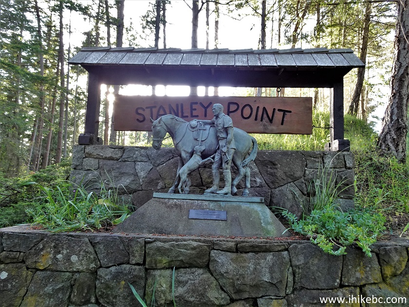
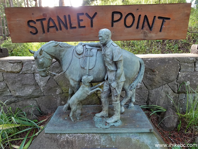
Pender Island Stanley Point Horseman Statue
55-56. And we are back at Otter Bay Ferry Terminal. Farewell, Pender Island!
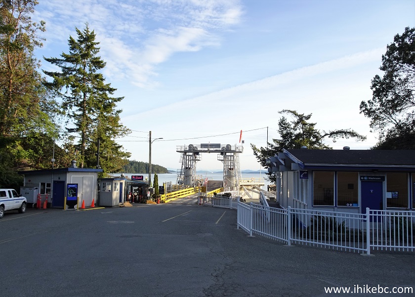
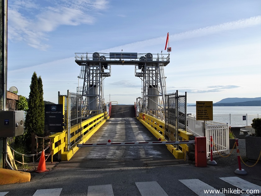
Otter Bay Terminal Pender Island BC
Pender Island may not be as picturesque as Galiano or Mayne Islands, but has enough impressive sights to make it a worthwhile visit. Recommended.


|
 |
Other Trips:


![]()
![]()
![]()
ihikebc.com Trip 254 - Pender Island BC Visit (Page 2 of 2)