
Trip 323 - September 18, 2024 (Wednesday)
Sunshine Mountain Trail Hike
Near Bralorne, BC
Page 2 of 4
Liked: Bralorne Powder Club clubhouse by the trailhead, valley and mountain views, alpine views, shade in the forest, no bugs.
Vancouver, Coast & Mountains Backroad Mapbook (2019 edition) Coordinates : Page 51 (Gold Bridge) B6.
Follow @ihikebc TweetSunshine Mountain Trail is located near Bralorne, BC, which itself can be found 12 km from the end of 103 km-long BC Highway 40, which connects Lillooet with Gold Bridge. This trail has four distinctive parts: an unremarkable hike through a forest, then a neat sub-alpine area, then a dangerous trek across steep and loose-surfaced stretch of the alpine area, followed by a very pleasant nearly flat alpine area close to the peak of Sunshine Mountain.
Unless you are a well-equipped experienced hiker, please limit the hike to the sub-alpine, as the alpine area is a disaster waiting to happen, unless you know what you are doing and have hiking poles and boots. We have all of the above and still managed to fall twice, broke a hiking pole, injured an elbow, and suffered a minor abrasion. The fine views made up for the hurt, but it is a very remote trail, and help will take a long time to arrive should you ever need it.
* All trail distances are based on a GPS odometer and are approximate.
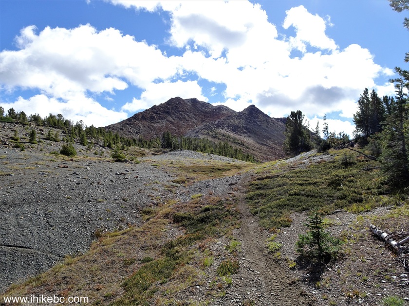
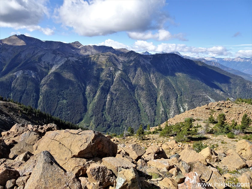
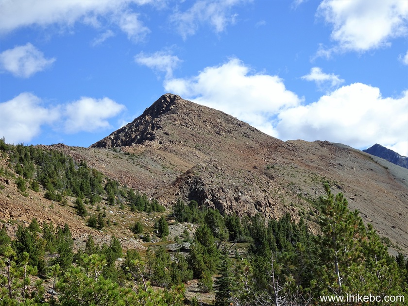
34. At 2.95 km of Sunshine Mountain Trail, we see Sunshine Mountain straight ahead.
Sunshine Mountain Hike
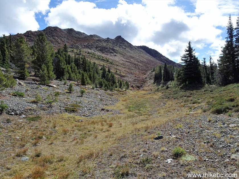
35. At 3.11 km, the mountain is getting closer.
Hiking Sunshine Mountain Trail near Bralorne British Columbia Canada
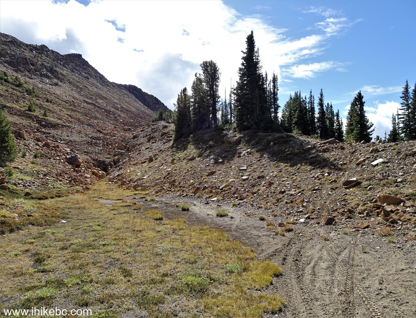
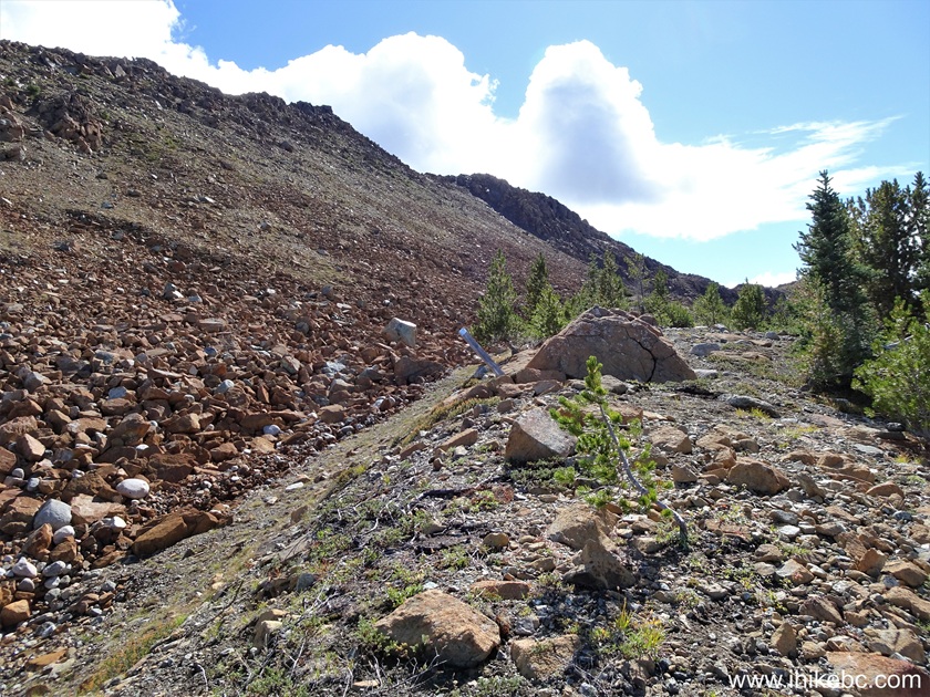
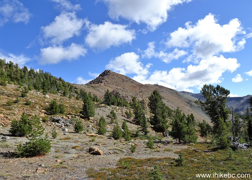
36-37. At 3.18 km, things got quite interesting. We had a trail ribbon in our GPS (thanks to Backroad Mapbook software), and it showed that, at this point, the trail goes left, climbs the mountain, and runs on the top. However, this didn't look very appealing to us, so we made a right turn at the split seen below, and followed the motorcycle tracks.
British Columbia Hiking
38. At 3.49 km. The trail ribbon indicated that the trail was way up on the left side.
Hiking in Canada - Sunshine Mountain Trail near Bralorne BC
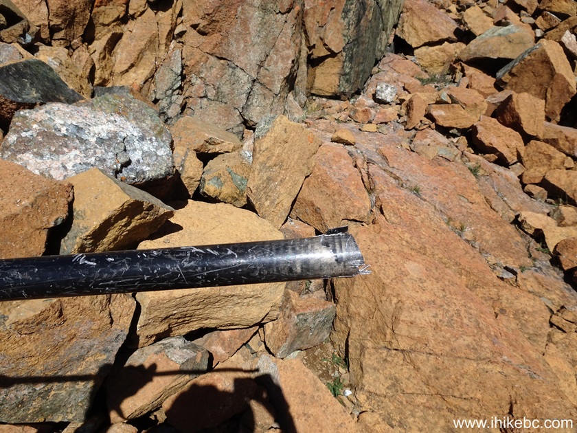
39. Looks like someone had (has?) some kind of a claim here. This post can be seen in the middle of the photo above, and here it is up close.
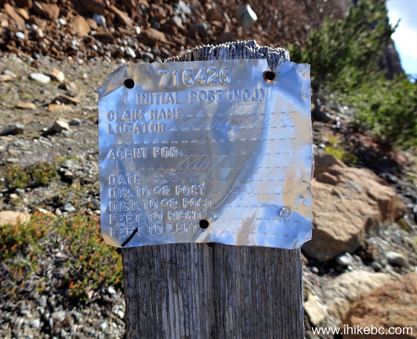
Industrial claim stake on Sunshine Mountain near Bralorne British
Columbia Canada
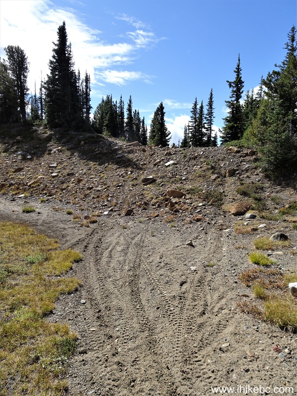
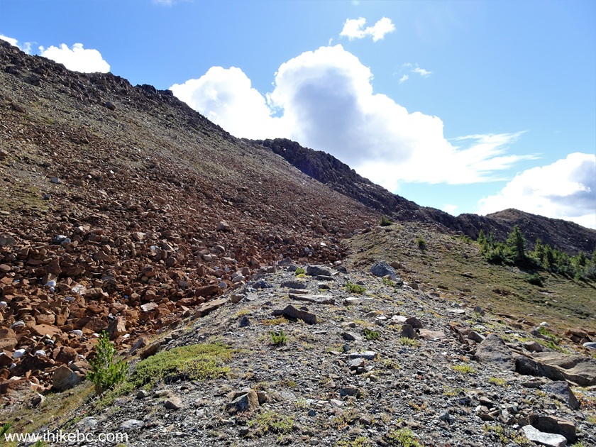
40. Now at 3.55 km of Sunshine Mountain Trail. The motorcycle tracks have finally disappeared somewhere around here.
Sunshine Mountain Trail
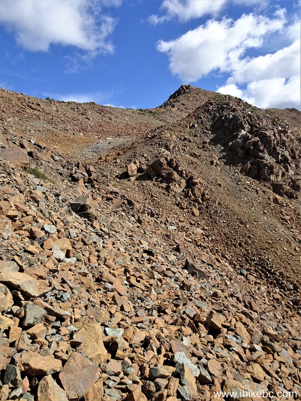
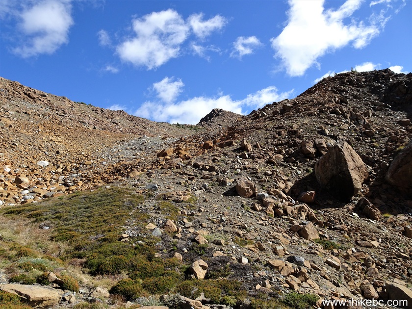
41. At 3.70 km, the hike is about to get very complicated. Do not proceed any further, unless you are experienced and well-equipped hiker. Coordinates (for the 3.64 km mark): N 50⁰43.894' W 122⁰46.879'. Elevation: 2,070 meters.
Hiking in Bralorne Area- Sunshine Mountain
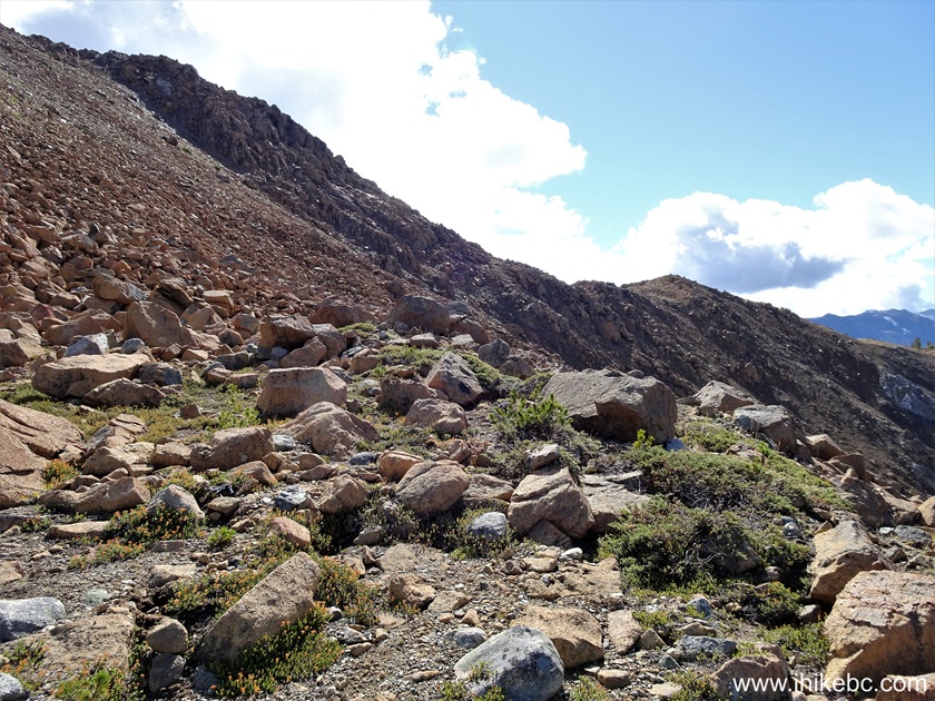
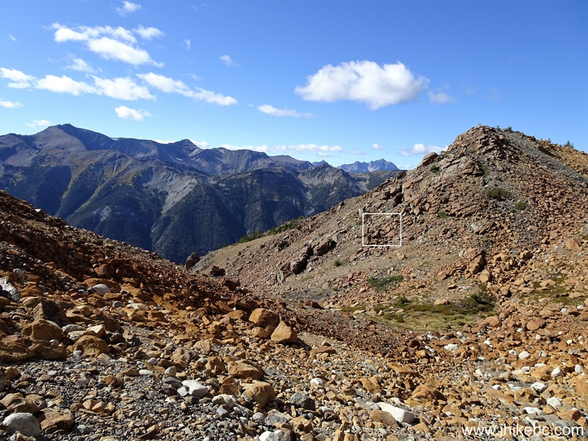
42. A fine view to the right at this spot.
View from Sunshine Mountain
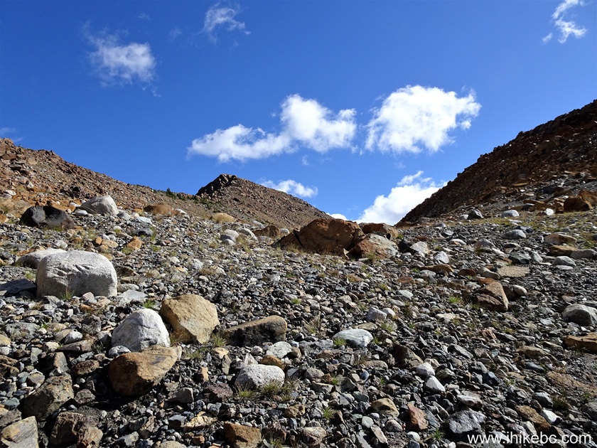
43. 20 meters further.
Sunshine Mountain British Columbia
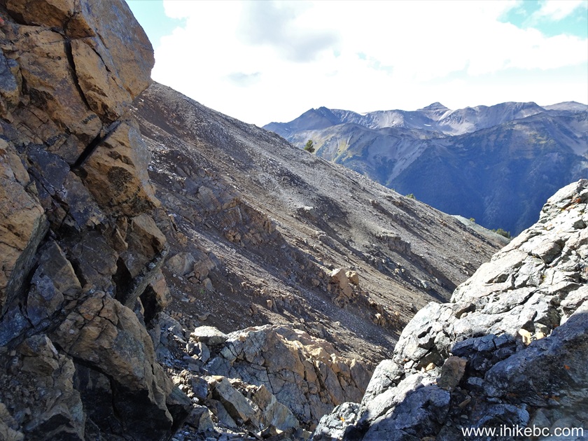
44. Looking up from this location. The GPS trail ribbon showed the trail all the way up there. We decided not to take any chances.
Sunshine Mountain near Bralorne BC Canada
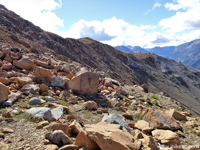
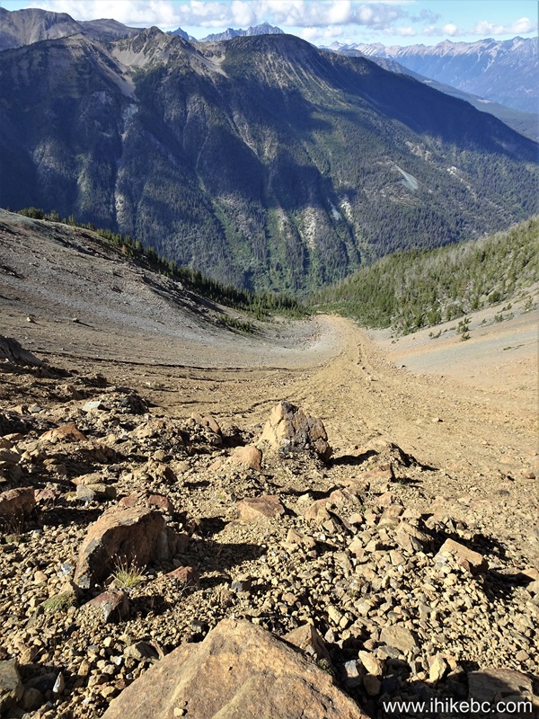
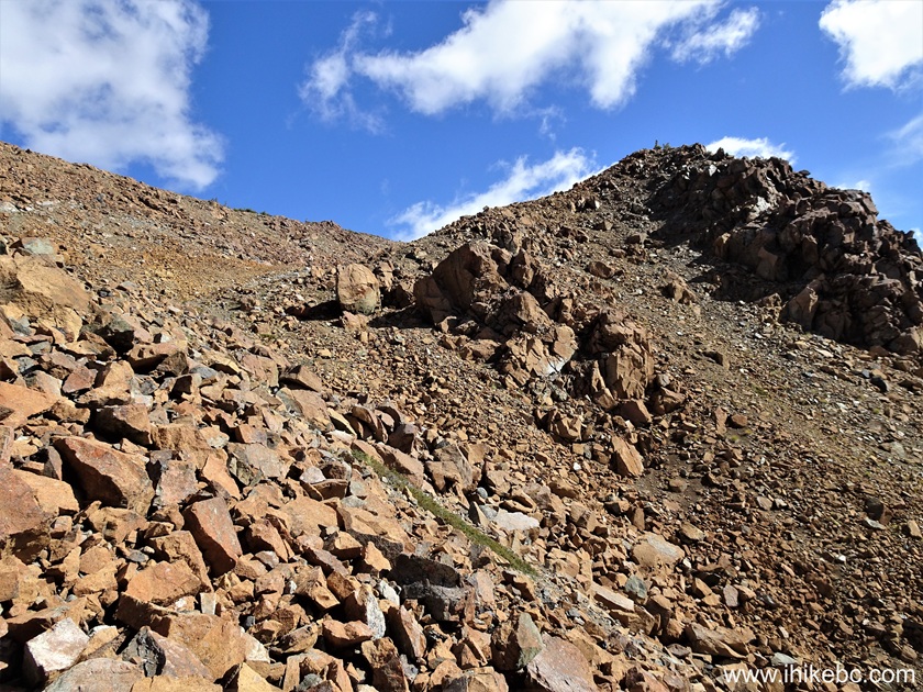
45. Looking right at 3.89 km. It is VERY steep and the surface is loose.
View from Sunshine Mountain near Bralorne British Columbia
46. At 3.93 km we fell down (not too far) and got a minor abrasion. But the possibility of going for a long downhill ride is definitely there.
Steep Sunshine Mountain near Bralorne BC
47. Now at the 3.97 km mark of Sunshine Mountain Trail.

Sunshine Mountain Hike
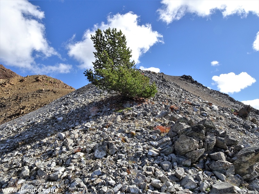
48. At 4.03 km, we see a prominent tree far ahead.
Hiking Sunshine Mountain in British Columbia
49. At 4.20 km, we are close to the tree.
Hike in British Columbia
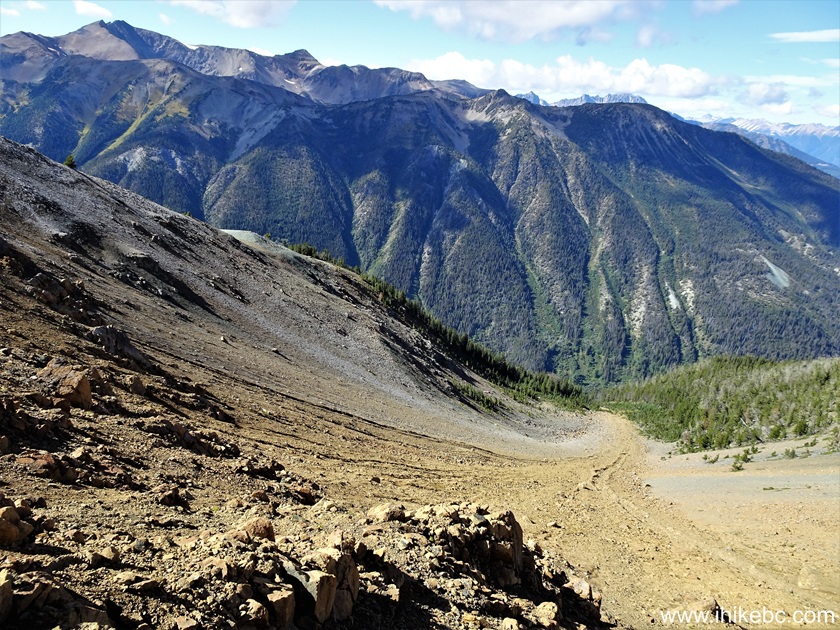
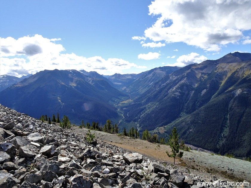
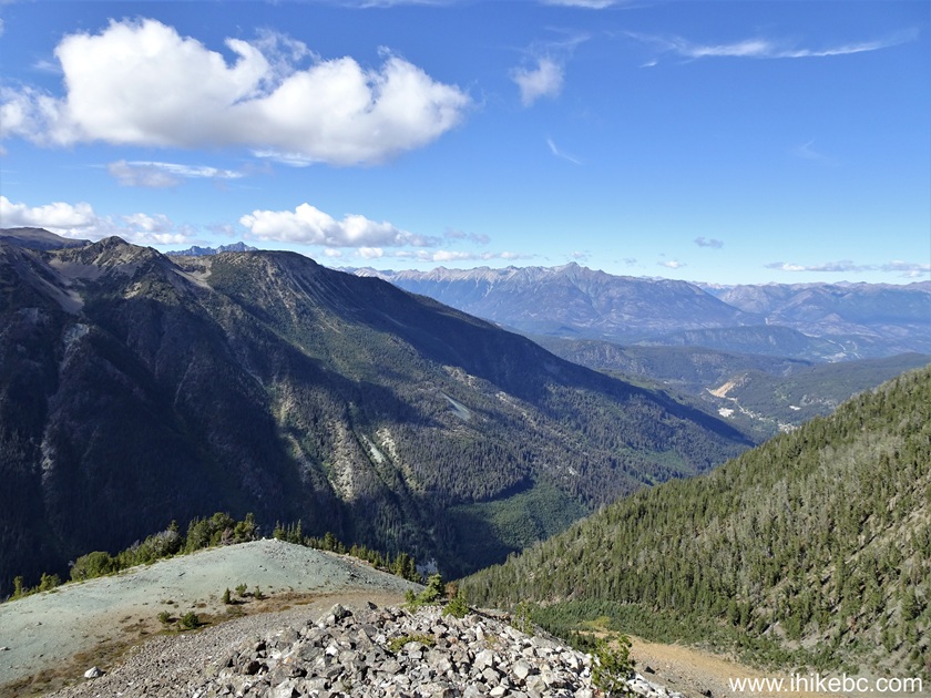
50. A neat valley view awaits on the other side of the hill.
British Columbia Nature
51. Here is that tree again. Coordinates: N 50⁰43.728' W 122⁰47.070'. Elevation: 2,055 meters.
Sunshine Mountain Tree
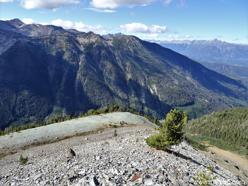
52. Now looking downhill with the tree right behind us. We came from the right. At 4.24 km of the trail.
View from Sunshine Mountain near Bralorne BC
53. Looking up from the same location.
Sunshine Mountain Hike British Columbia
54. Looking back ten meters up this new hill.
Sunshine Mountain Hike in British Columbia Canada
55. At 4.32 km of Sunshine Mountain Trail, our new objective, the peak, is straight ahead.
Sunshine Mountain Peak
Here is our video of the views from this location.
More ihikebc videos are on our YouTube Channel.
56. At the 4.44 km mark of the trail.
Hiking in British Columbia - Sunshine Mountain - Bralorne Area
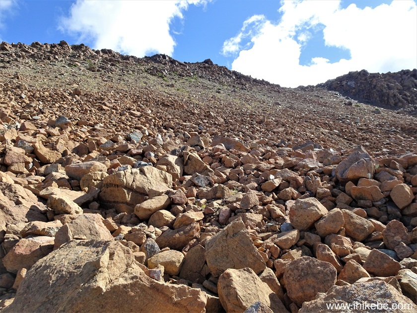
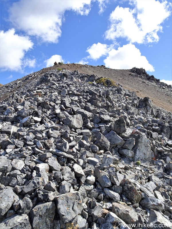
57. At 4.59 km, the hike is getting difficult again, with a few ups and downs (mostly ups) and loose stones galore.
Difficult Sunshine Mountain Hike
58. 50 meters later.
Hiking on Sunshine Mountain in British Columbia
59. Looking right from this spot.

Valley view from Sunshine Mountain British Columbia
60. At 4.67 km of Sunshine Mountain Trail.
Sunshine Mountain Trail
61. Now at the 4.71 km mark of the hike.
Hiking Sunshine Mountain in British Columbia Canada
62-63. Looking back from this spot, we have marked with a white square the location of our second (and most serious) fall. This could have ended up very badly, but, other than a slightly bruised elbow and a broken pole, there was no damage. The mechanism of the fall was as classical as they get - stepped down, a loose stone gave way, the foot slid forward, lost balance, fell on the side. Hiking poles are of little use in such situations as there is no solid ground to plant them into for balancing during the descent.
Broken Hiking Pole
Our Sunshine Mountain Trail Hike trip report Continues on Page 3.


|
 |
Other Trips:


![]()
![]()
![]()
ihikebc.com Trip 323 - Sunshine Mountain Trail Hike (near Bralorne, BC) Page 2 of 4