
Trip 323 - September 18, 2024 (Wednesday)
Sunshine Mountain Trail Hike
Near Bralorne, BC
Page 1 of 4
Liked: Bralorne Powder Club clubhouse by the trailhead, valley and mountain views, alpine views, shade in the forest, no bugs.
Vancouver, Coast & Mountains Backroad Mapbook (2019 edition) Coordinates : Page 51 (Gold Bridge) B6.
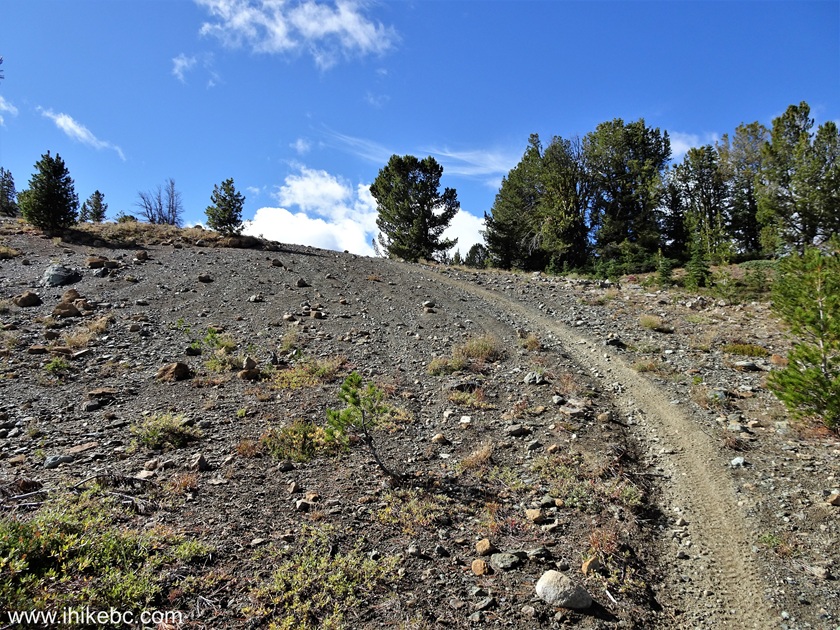
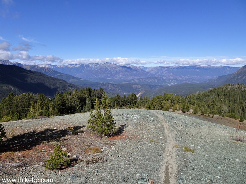
Follow @ihikebc TweetSunshine Mountain Trail is located near Bralorne, BC, which itself can be found 12 km from the end of 103 km-long BC Highway 40, which connects Lillooet with Gold Bridge. This trail has four distinctive parts: an unremarkable hike through a forest, then a neat sub-alpine area, then a dangerous trek across steep and loose-surfaced stretch of the alpine area, followed by a very pleasant nearly flat alpine area close to the peak of Sunshine Mountain.
Unless you are a well-equipped experienced hiker, please limit the hike to the sub-alpine, as the alpine area is a disaster waiting to happen, unless you know what you are doing and have hiking poles and boots. We have all of the above and still managed to fall twice, broke a hiking pole, injured an elbow, and suffered a minor abrasion. The fine views made up for the hurt, but it is a very remote trail, and help will take a long time to arrive should you ever need it.
* All trail distances are based on a GPS odometer and are approximate.
0. Here is a Google Maps location of Sunshine Mountain near Bralorne, British Columbia, Canada.
1. We are at the entrance to Bralorne, BC, with Gold Bridge (a small general store and a seasonal? self-serve gas station) 12 kilometers behind us.
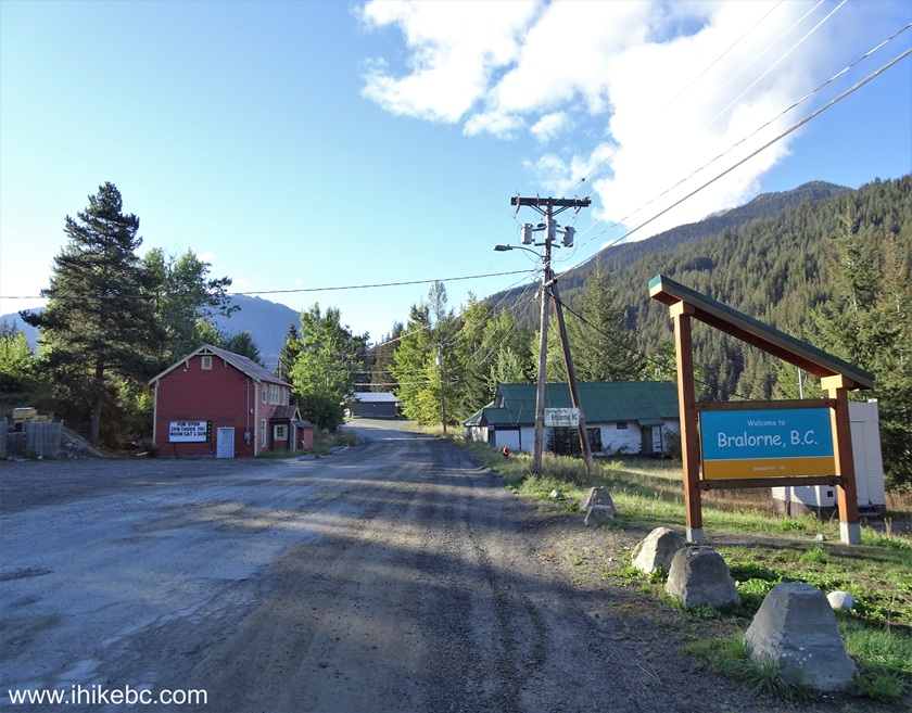
Bralorne BC
2. Proceed for 1.1 km and turn right onto Lorne Street.

Bralorne - British Columbia - Canada
3. 200 meters later, arrive to the beginning of Noel Creek Forest Service Road.
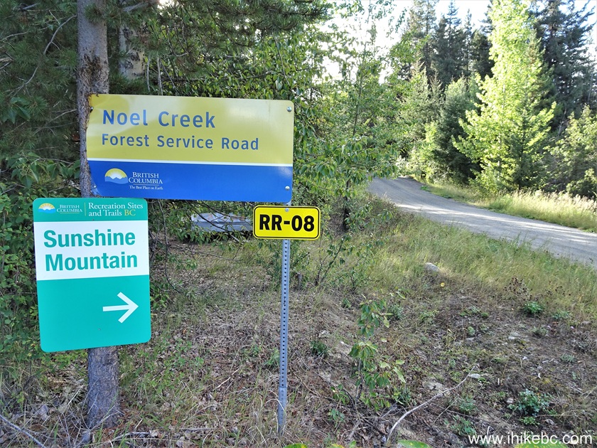
Noel Creek FSR Start
4. At 2.3 km of Noel Creek FSR, there is a split. Turn LEFT. Regular clearance vehicles should be able to make it up to this point, but going further you would need at least medium clearance due to about 10 cross-ditches. 2WD - ok. It's just over 2 kilometers from here to the trailhead.
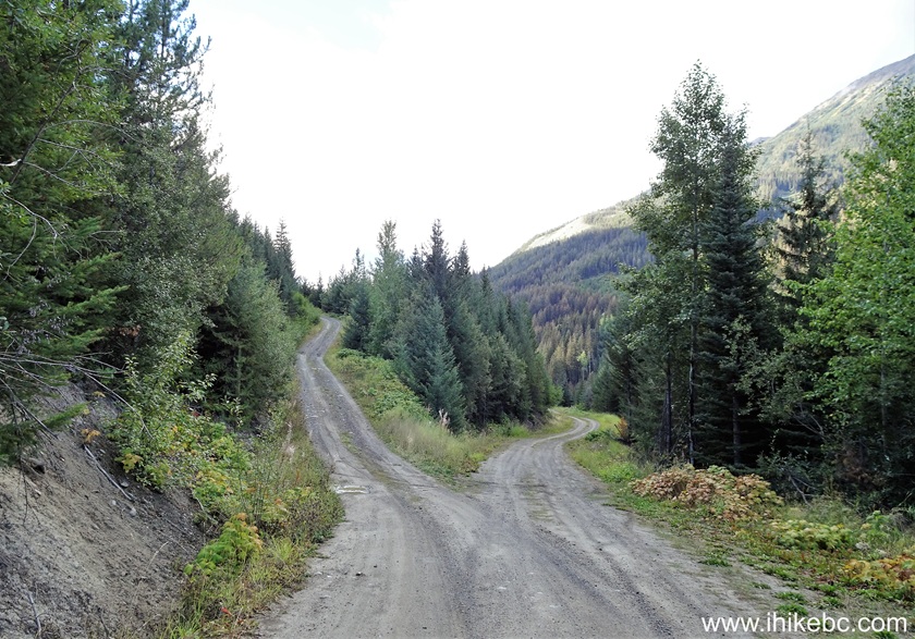
Noel Creek Forest Service Road
5. Noel Creek FSR at 3.9 km.
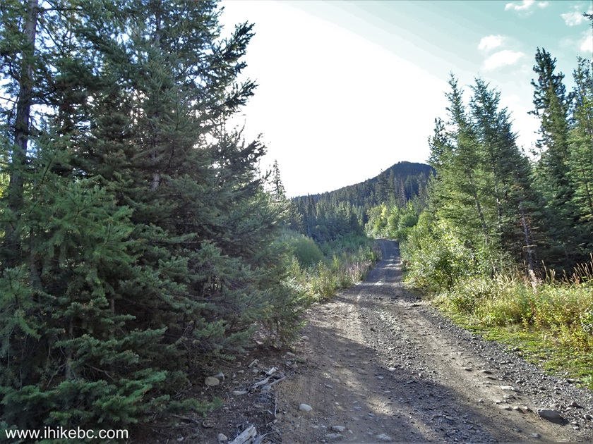
Noel Creek FSR near Bralorne British Columbia Canada
6-7. At 4.3 km, we are almost there. There is a prominent bump at this point, and long wheelbase vehicles with insufficient clearance might get high-centered.
Noel Creek FSR end
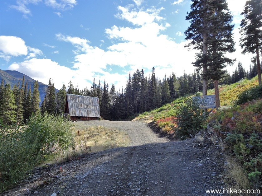
8. At 4.4 km from the start of Noel Creek Forest Service Road, we arrived to Bralorne Powder Club clubhouse, and Sunshine Mountain Trail trailhead (on the right side out of frame). Coordinates: N 50⁰45.318' W 122⁰47.493'. Elevation: 1,450 meters.
Bralorne Powder Club clubhouse
Here is our video of driving on Noel Creek FSR from start to finish.
More ihikebc videos are on our YouTube Channel.
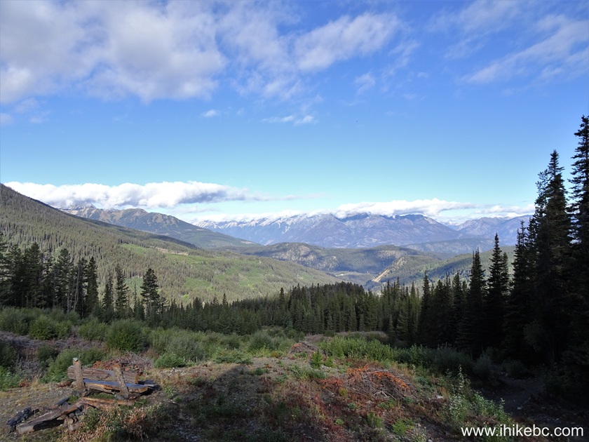
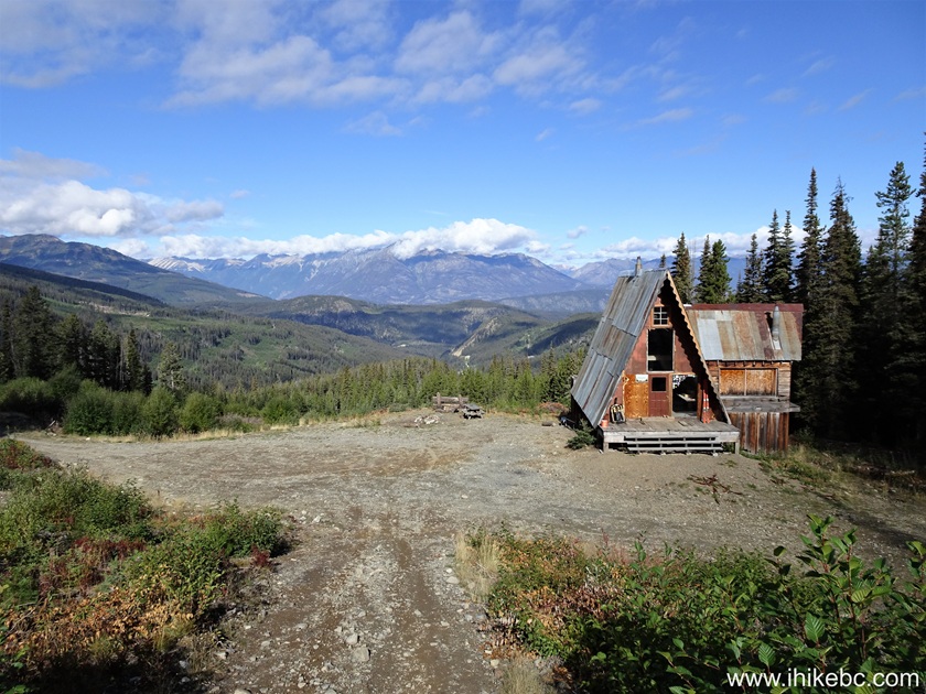
9. Turning left, there is a bench and a picnic table with a very fine view.
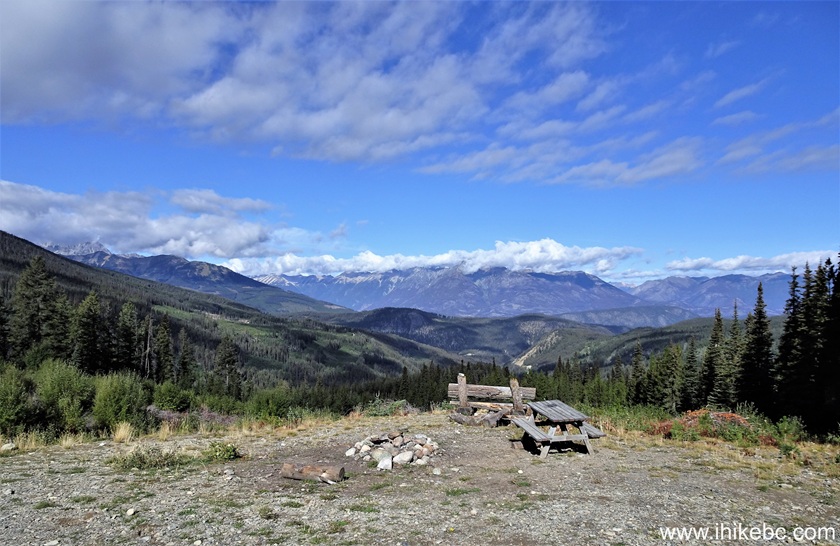
British Columbia Mountains near Bralorne
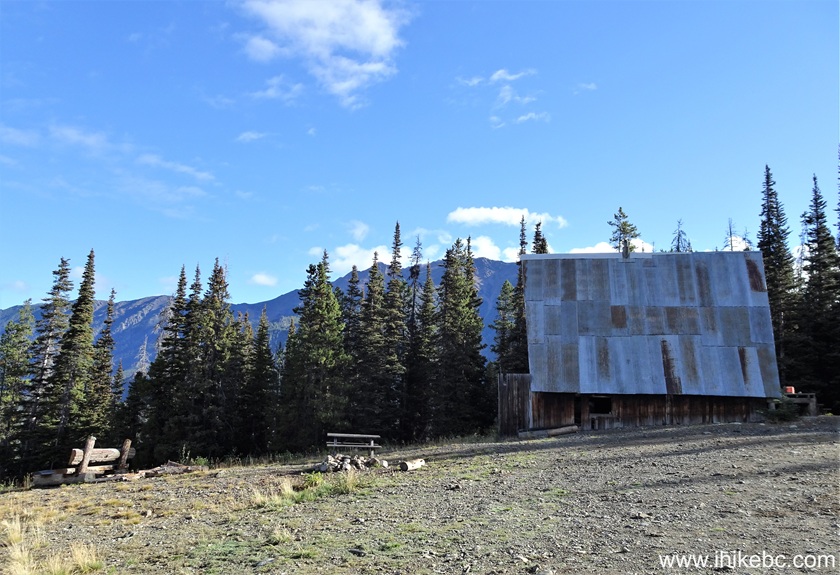
10. Bralorne Powder Club clubhouse. To the side of it is a pit toilet and a mountain bike trail (rated black diamond).
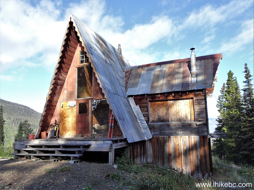
Bralorne Powder Club Clubhouse near Bralorne BC
11. Looking back at the main door after entering the clubhouse.
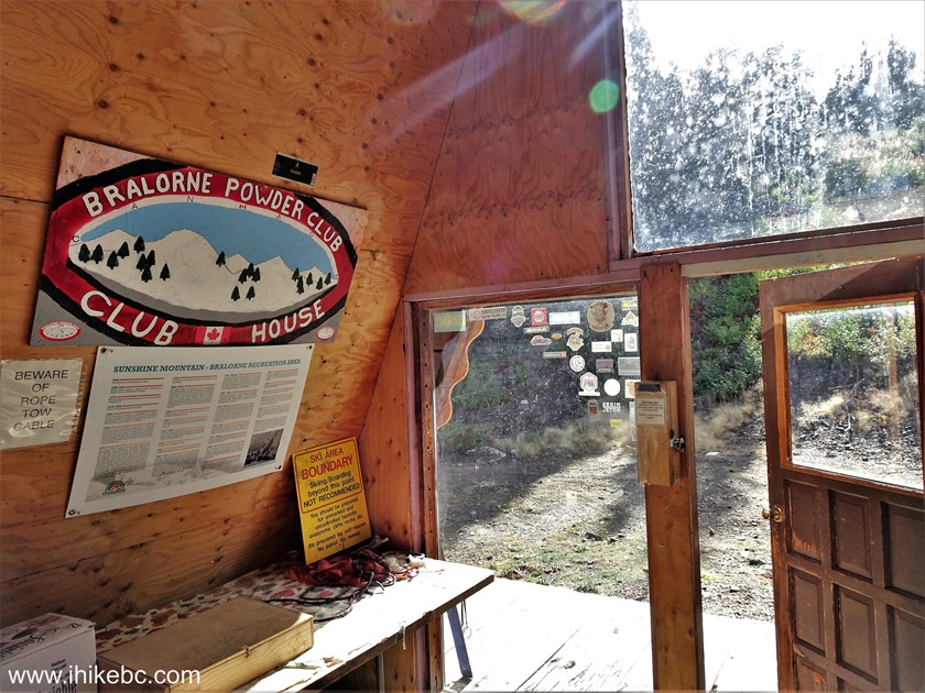
Bralorne Powder Club Clubhouse Entrance Door
12. Now looking the other way.

Inside Bralorne Powder Club Clubhouse
13-14. Straight ahead is a balcony with a fine view.

View from balcony of Bralorne Powder Club Clubhouse
15. Just by the balcony is a staircase to the attic.

Attic of Bralorne Powder Club Clubhouse
16-17. There is also a kitchen area on the ground floor.
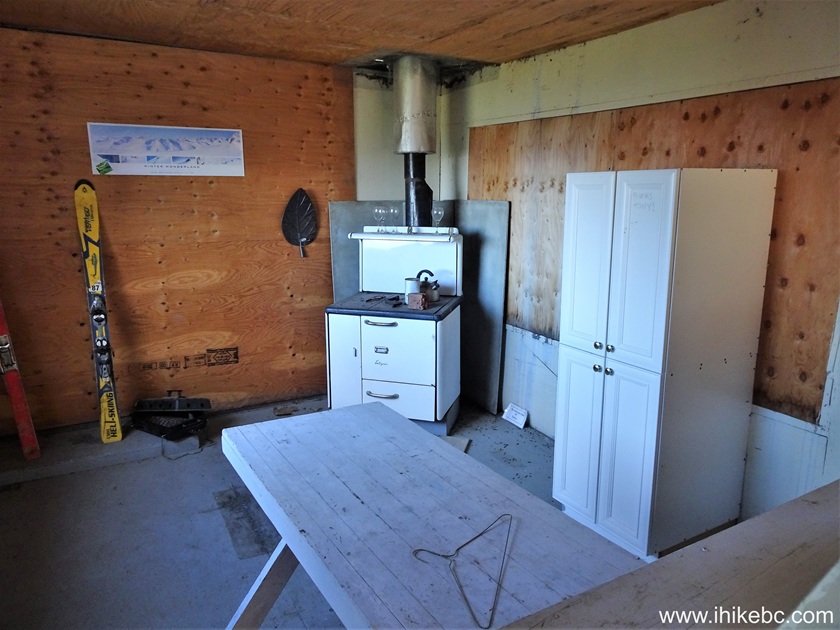
Bralorne Powder Club Clubhouse Kitchen
Here is our video of inside and outside Bralorne
Powder Club clubhouse.
More ihikebc videos are on
our YouTube Channel.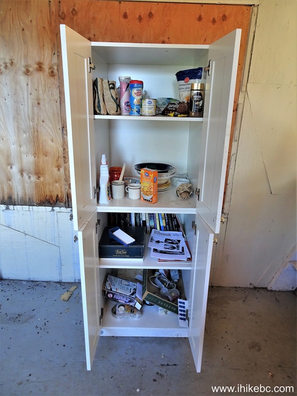
18. Another exterior view of Bralorne Powder Club clubhouse. Noel Creek FSR is to the right, and Sunshine Mountain Trail trailhead is seen straight ahead.
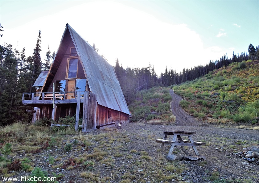
Bralorne Powder Club Clubhouse and Sunshine Mountain Trailhead
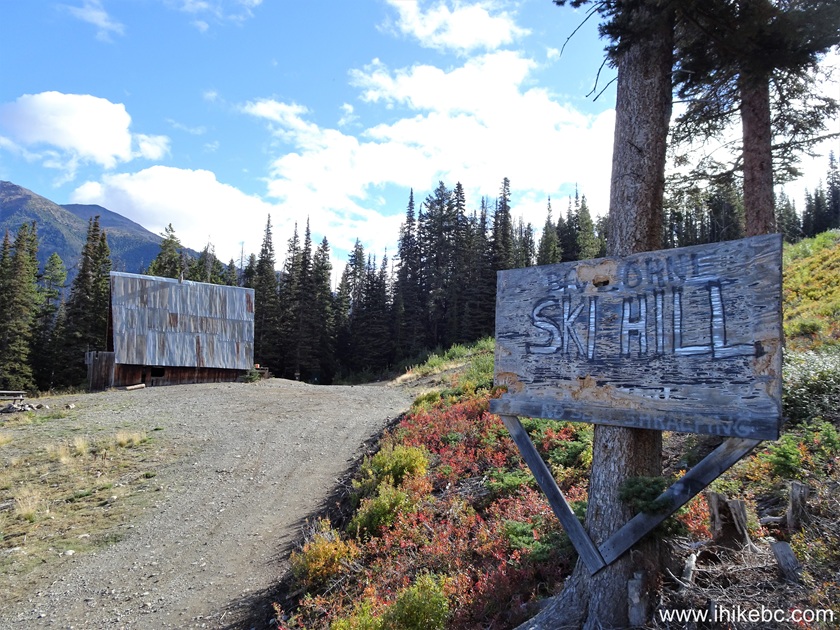
19. Here it is. Motorcycle tracks go all the way to the alpine. The trail is too narrow for ATVs after a few hundred meters.
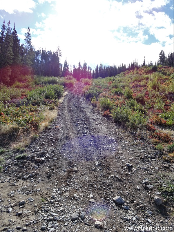
Sunshine Mountain Trail Trailhead
20. Looking back at 30 meters of Sunshine Mountain Trail.
Bralorne Powder Club Clubhouse view from Sunshine Mountain Trail
21. With much zoom, we see Bralorne, BC.

Bralorne BC zoomed view from Sunshine Mountain
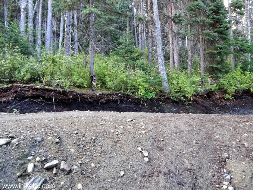
22. Quite a muddy spot at 240 meters. Likely a mini-swamp earlier in the season.

Muddy Spot on Sunshine Mountain Trail near Bralorne BC
23. At 280 meters of Sunshine Mountain Trail, approaching a T-junction.
Hike in British Columbia
24. Ten meters later, here it is. Turn right.
Hike in Canada
25. Ten meters after turning right at the T-junction.

Sunshine Mountain Trail Hike in Bralorne BC Area
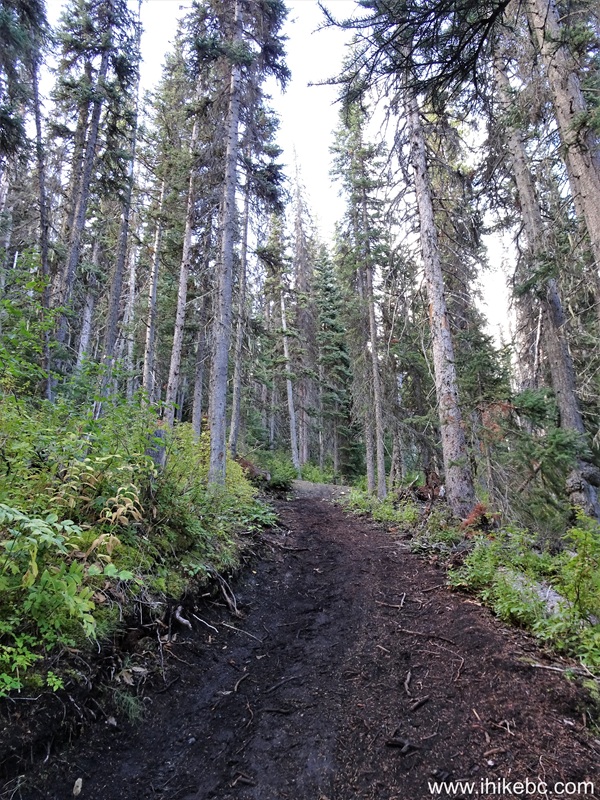
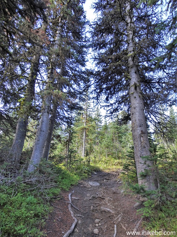
26. Now at 1.24 km of Sunshine Mountain Trail. A pleasant, if unremarkable, hike in the forest with steady elevation gain.
Hiking Sunshine Mountain Trail near Bralorne BC
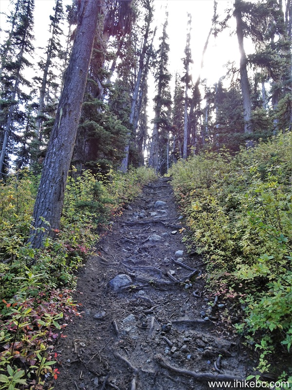
27. At 1.57 km now. Prominent motorcycle tracks.
Motorcycle Tracks on Sunshine Mountain Trail near Bralorne BC
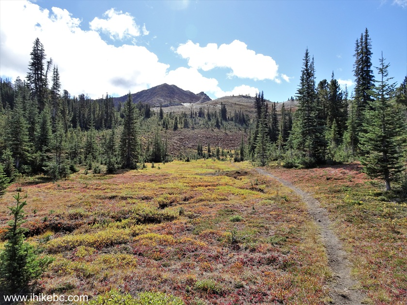
28. At 2.25 km of Sunshine Mountain Hike, the forest ends, and the sub-alpine begins. Coordinates: N 50⁰44.470' W 122⁰46.885'. Elevation: 1,895 meters.
Sunshine Mountain Trail
29. At the 2.46 km mark of the trail.
British Columbia Hiking Sunshine Mountain Trail
30. Now at 2.73 km.
31. Looking back at 2.80 km of Sunshine Mountain Trail near Bralorne, British Columbia, Canada.

Hike in Bralorne BC Area - Sunshine Mountain Trail
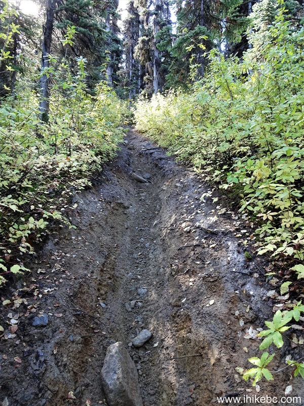
32. Looking ahead 40 meters later. Motorcycle tracks are still here.

Canada Hiking - Sunshine Mountain Trail near Bralorne BC
33. Looking back at 2.93 km.
Sunshine Mountain Hike British Columbia Canada
Our Sunshine Mountain Trail Hike trip report Continues on Page 2.


|
 |
Other Trips:


![]()
![]()
![]()
ihikebc.com Trip 323 - Sunshine Mountain Trail Hike (near Bralorne, BC) Page 1 of 4