![]()
![]()
![]()

Trip 318 - September 10, 2024 (Tuesday)
Skihist Provincial Park Visit
Near Lytton, British Columbia
Page 2 of 2
Liked: Thompson River / canyon view from picnic ground, canyon view at the end of the trail, mountain views, a loop hike in the campground area.
Vancouver, Coast & Mountains Backroad Mapbook (2019 edition) Park Coordinates : Page
36 (Lytton) D2.Related Website: Skihist Provincial Park - BC Parks official website.
Follow @ihikebc TweetSkihist Provincial Park can be found 8 kilometers East of Lytton, BC (270 km East of Vancouver, BC). On the left side of the highway as you are driving East, there is a picnic ground with several tables, a toilet, and a very fine view of Thompson River and canyon. On the right side is the entrance to the campground, which can be reached via a two kilometer-long somewhat steep winding road. After you reach the campground, there is a fairly easy loop trail of several kilometers through a pleasant forest to a slightly obstructed view of Thompson River canyon. Along the way, there are several decent mountain views here and there.
If you plan on camping in Skihist Provincial Park, note that it is located close to a rather busy highway, so try to get a camping spot as high as possible, as the higher up the access road you go, the further you are from the highway and all the associated noise.
*All trail distances are based on a GPS odometer and are approximate.
29-30
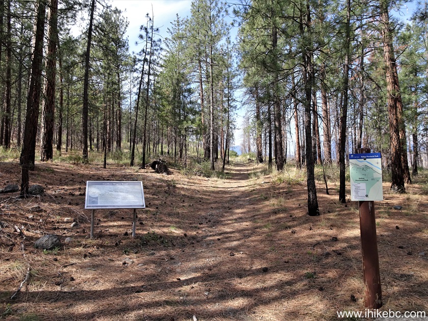
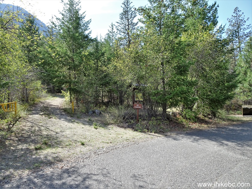
. The loop trail in Skihist Provincial Park begins just to the left of camping spot #22 (if you are facing it). Coordinates: N 50⁰15.140' W 121⁰30.840'. Elevation: 345 meters. On the map we have indicated with a big red arrow our current location, with small red arrows our hike to the lookout, and with small yellow arrows our return trip to the second trailhead of the loop trail (by camping spot #31).
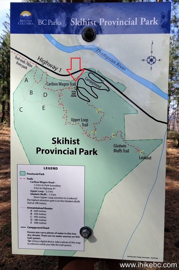
Skihist Provincial Park Trail Map
31. The hike begins. At the 45 meter mark.
Hiking in Lytton BC area - Skihist Provincial Park
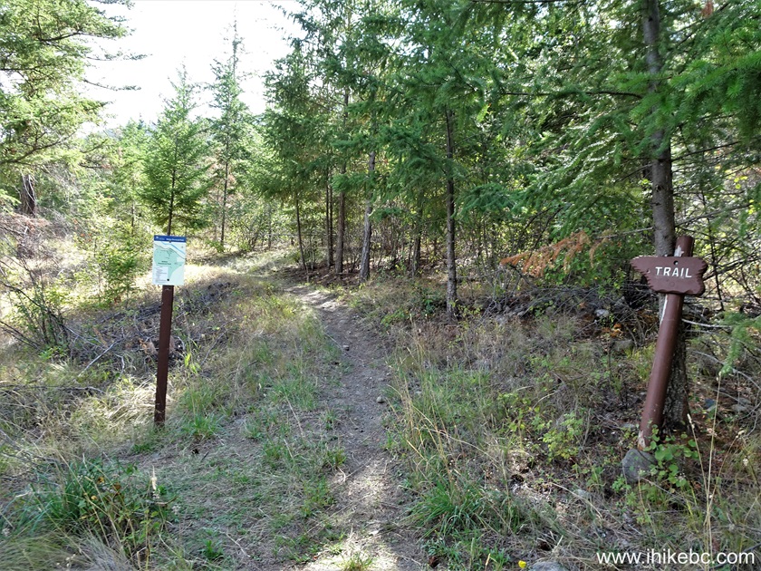
32. At 235 meters, there is a junction. To the right is Cariboo Wagon Trail, which shortly leaves the park. And we turned left to continue the loop trail.
Cariboo Wagon Trail at Skihist Provincial Park Loop Trail
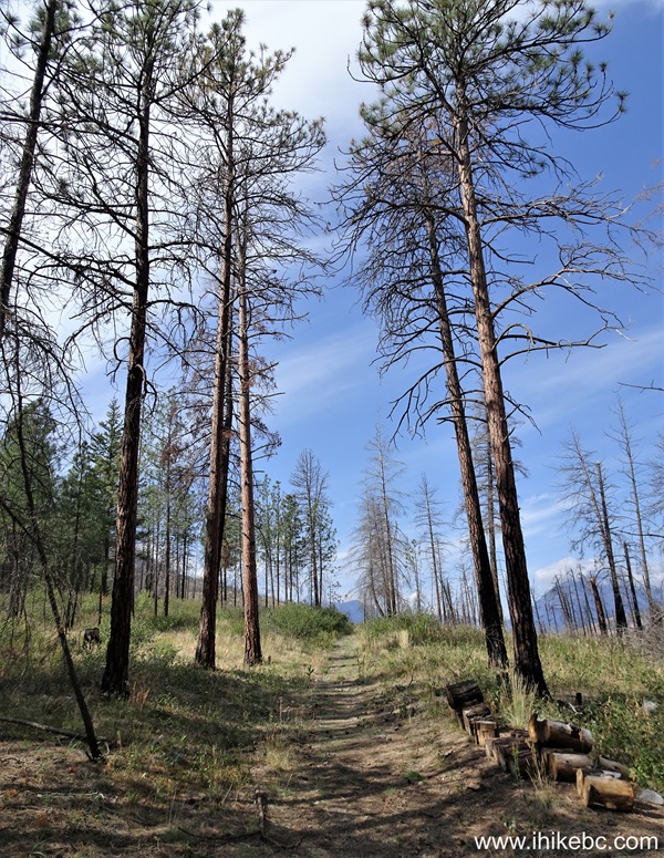
33. At 610 meters of Skihist Provincial Park loop trail.
Hiking in Skihist Provincial Park near Lytton BC Canada
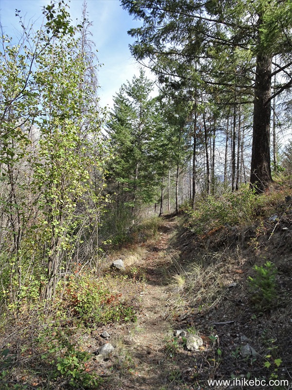
34. Now at 870 meters from the trailhead. It's a fairly easy, pleasant trail.
British Columbia Hiking in Skihist Provincial Park
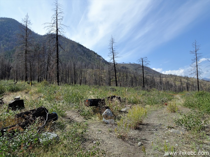
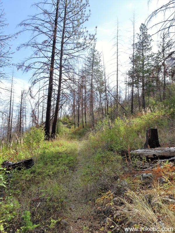
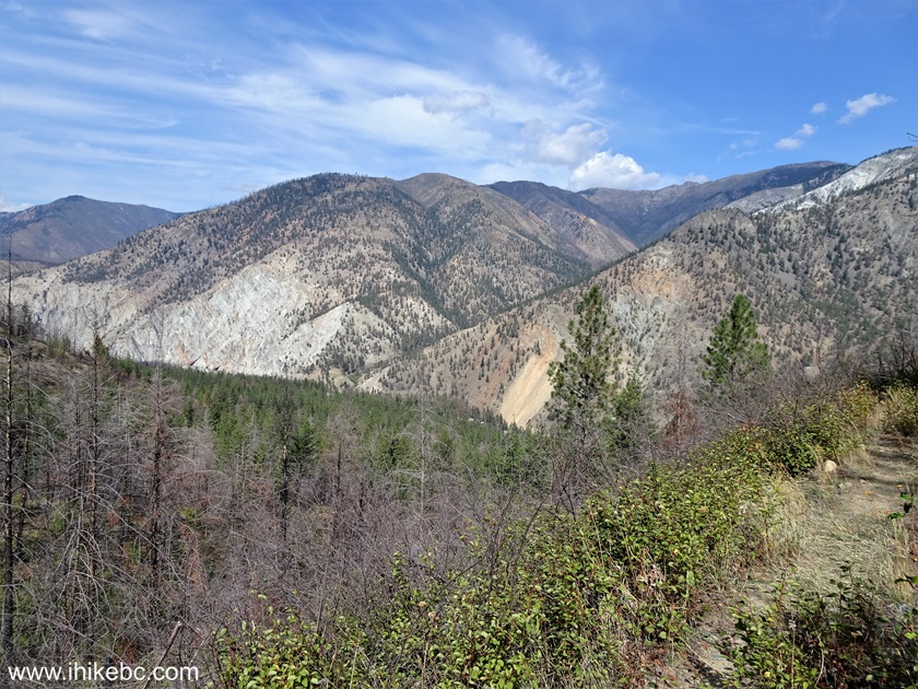
35. A decent mountain view at 1.27 km of the trail.

View from Skihist Provincial Park
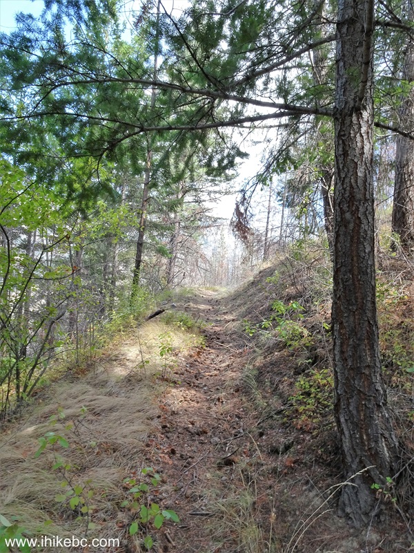
36. Now hiking at the 1.42 km mark.
British Columbia Hiking in Skihist Provincial Park
37-38. At 1.84 km, there is another junction. Coordinates: N 50⁰14.717' W 121⁰30.654'. Elevation: 465 meters. To the right is 1.33 km-long Gladwin Bluffs Trail, which reaches its end at a viewpoint overlooking Thompson River canyon. To the left is the continuation of the loop trail, which reaches the campground exactly one kilometer later. We turned right, checked out the viewpoint, then returned and completed the loop. Thus, the total loop distance is 2.84 km, and, if you add 2.66 km round trip to the viewpoint and back, the overall hiking distance would be 5.5 km.
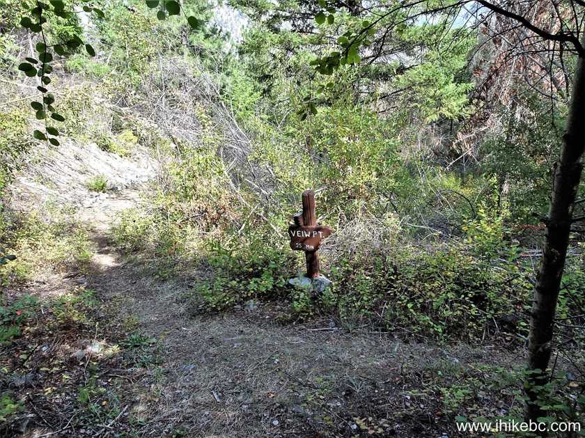
Skihist Provincial Park Loop Trail at Gladwin Bluffs Trail
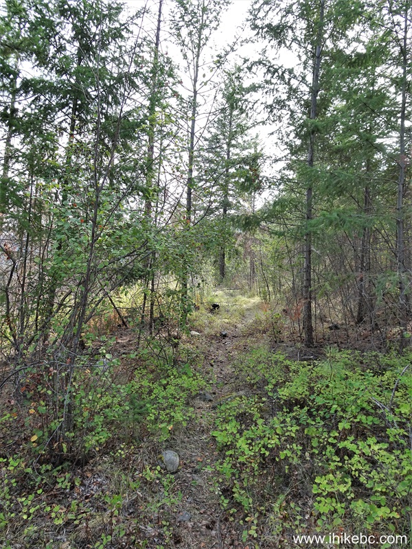
39. Now hiking Gladwin Bluffs Trail. 20 meters after the junction.
Gladwin Bluffs Trail
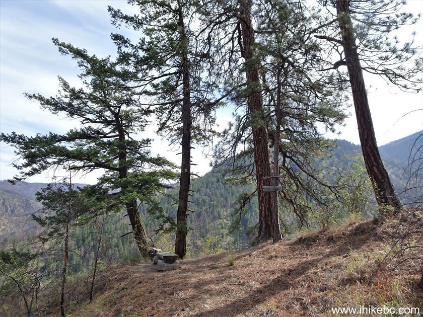
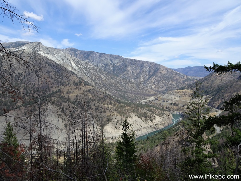
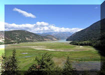
40. At 390 meters, arguably the best view of the entire hike.
View from Gladwin Bluffs Trail in Skihist Provincial Park British
Columbia Canada
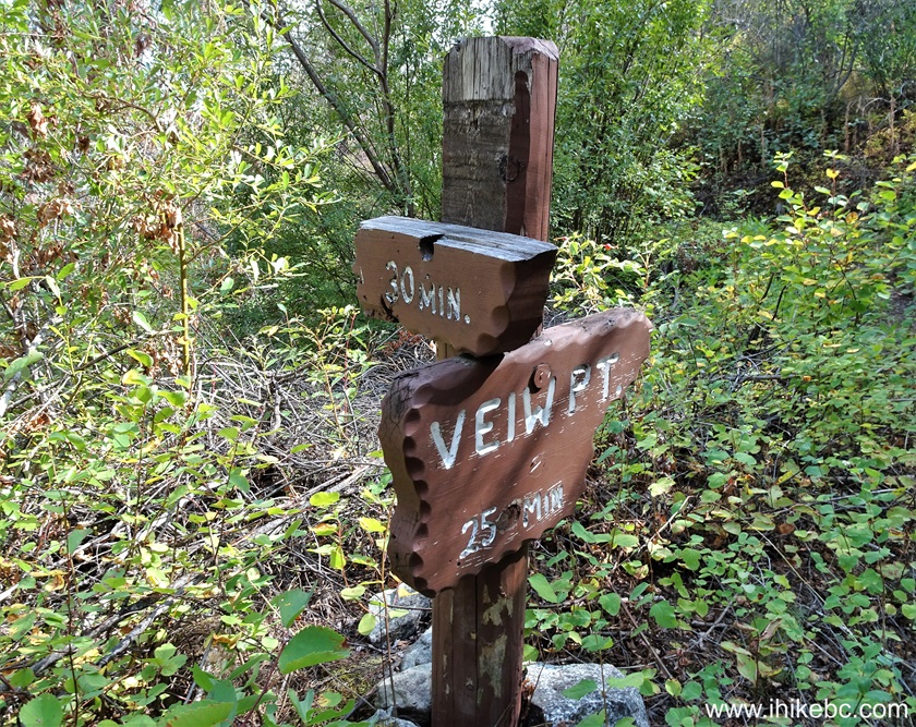
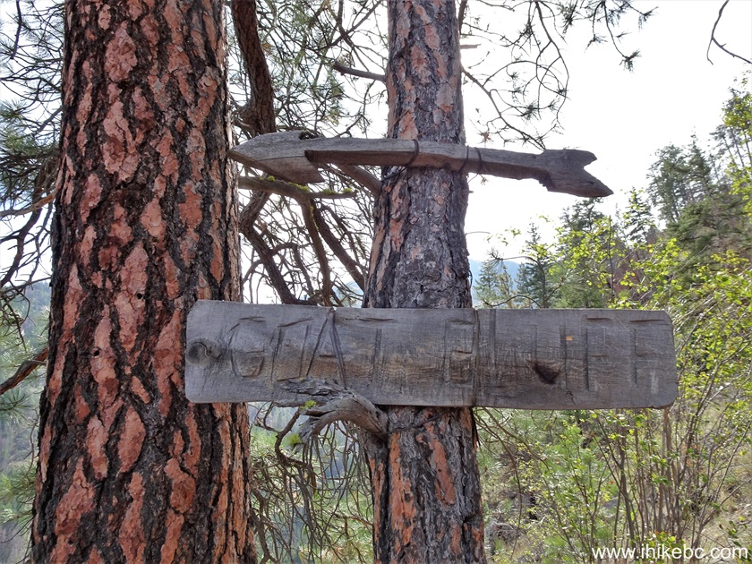
41-42. At 1.33 km, we at at the end of Gladwin Bluffs Trail. Coordinates: N 50⁰14.572' W 121⁰29.995'. Elevation: 540 meters (195 meters elevation gain from the start of the hike for an average grade of 6%). Across the canyon we are looking at Goat Bluff, according to the sign,
43. The viewpoint.
View from the end of Gladwin Bluffs Trail near Lytton BC
Here is our video of the views from this location.
More ihikebc videos are on our YouTube Channel.
44. Back at the junction to complete the loop.

45-48. And, one kilometer later, we are at the end of the loop by camping spot #31.

Map of Trails in Skihist Provincial Park
Skihist Provincial Park features a campground, a fine trail and several pleasant views. Recommended.


|
 |
Other Trips:


![]()
![]()
![]()
ihikebc.com Trip 318 - Skihist Provincial Park Visit
(near Lytton, BC) Page 2 of 2