Trip 318 - September 10, 2024 (Tuesday)
Skihist Provincial Park Visit
Near Lytton, British Columbia
Page 1 of 2
Liked: Thompson River / canyon view from picnic ground, canyon view at the end of the trail, mountain views, a loop hike in the campground area.
Vancouver, Coast & Mountains Backroad Mapbook (2019 edition) Park Coordinates : Page
36 (Lytton) D2.Related Website: Skihist Provincial Park - BC Parks official website.
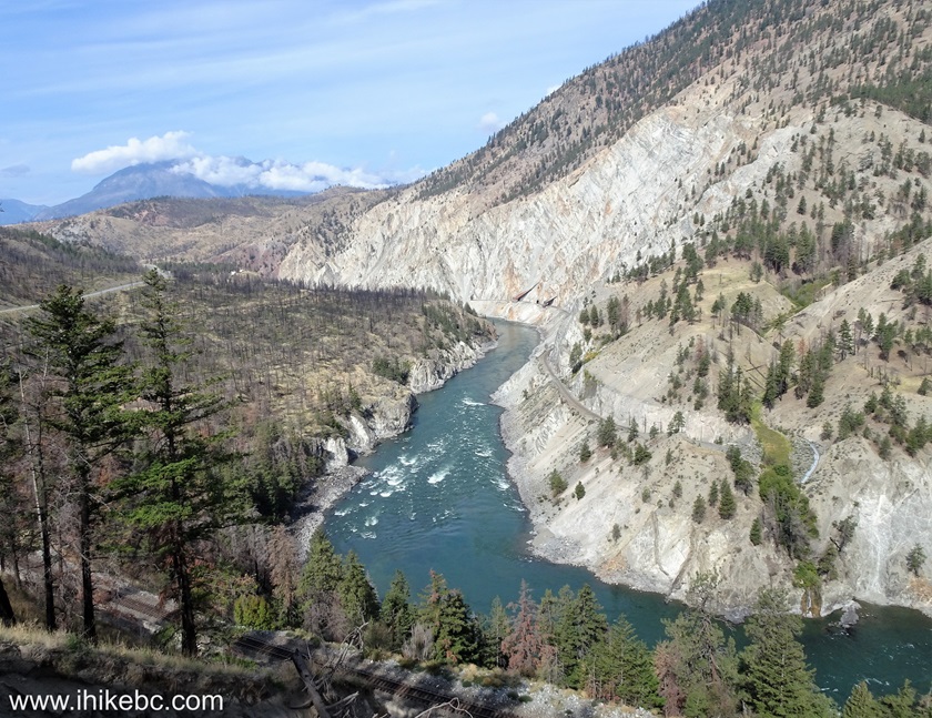
Follow @ihikebc TweetSkihist Provincial Park can be found 8 kilometers East of Lytton, BC (270 km East of Vancouver, BC). On the left side of the highway as you are driving East, there is a picnic ground with several tables, a toilet, and a very fine view of Thompson River and canyon. On the right side is the entrance to the campground, which can be reached via a two kilometer-long somewhat steep winding road. After you reach the campground, there is a fairly easy loop trail of several kilometers through a pleasant forest to a slightly obstructed view of Thompson River canyon. Along the way, there are several decent mountain views here and there.
If you plan on camping in Skihist Provincial Park, note that it is located close to a rather busy highway, so try to get a camping spot as high as possible, as the higher up the access road you go, the further you are from the highway and all the associated noise.
*All trail distances are based on a GPS odometer and are approximate.
1
. Here is a Google Maps location of Skihist Provincial Park near Lytton, BC.
2. We are driving East on TransCanada Highway 1, passing by Highway 12 junction, which serves as the entrance to the town of Lytton.

TransCanada Highway 1 at BC Highway 12 turnoff near Lytton British
Columbia
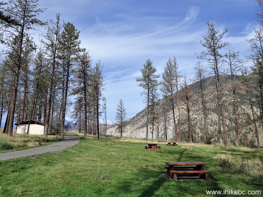
3. Skihist Provincial Park is located 8 kilometers further. Here we are 1.0 km after the Highway 12 junction.
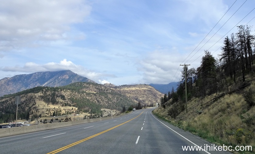
TransCanada Highway 1 near Skihist Provincial Park
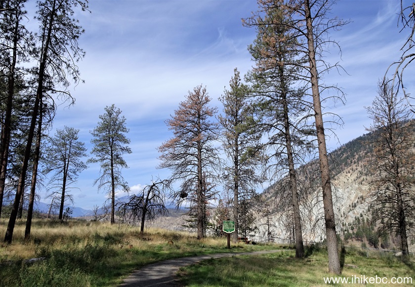
4. Now at the 3.0 km mark from Lytton.
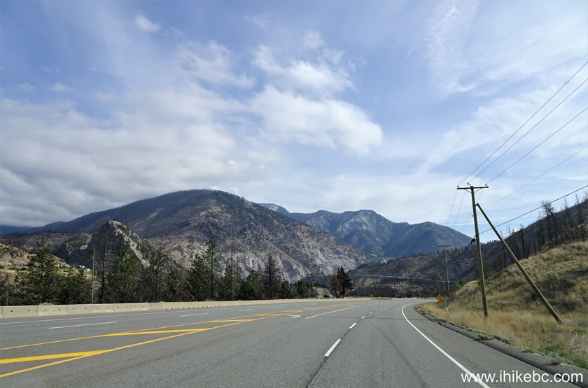
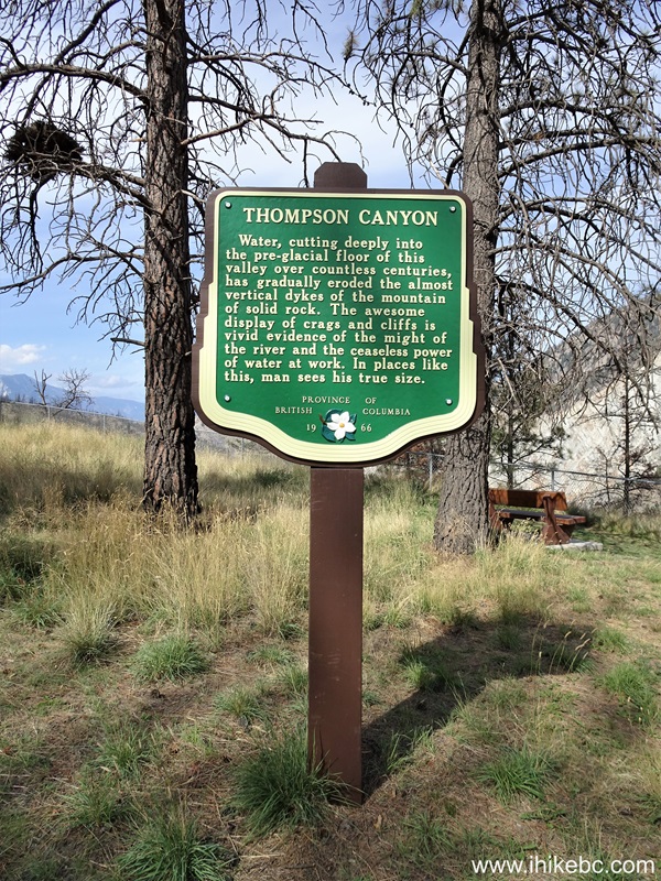
Driving on TransCanada Highway 1 near Lytton BC
5. Arriving to Skihist Provincial Park 8 km after the Highway 12 junction.
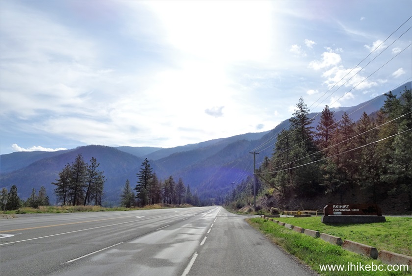
TransCanada Highway 1 at Skihist Provincial Park entrance turnoff
6-7. To the right is a campground and a trail. But we went to the left first, where a picnic ground is located.
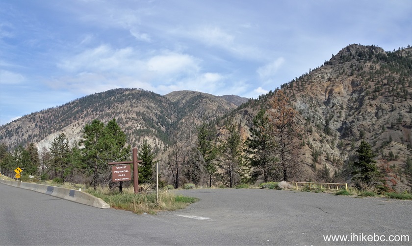
Skihist Provincial Park picnic ground entrance
8-9. A plain and zoomed views of the mountain seen in the photos above.
10. A short access road to the picnic ground.
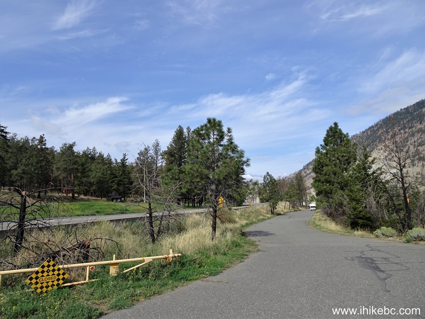
Skihist Provincial Park Picnic Ground access road
11-12. Skihist Provincial Park picnic ground parking lot.
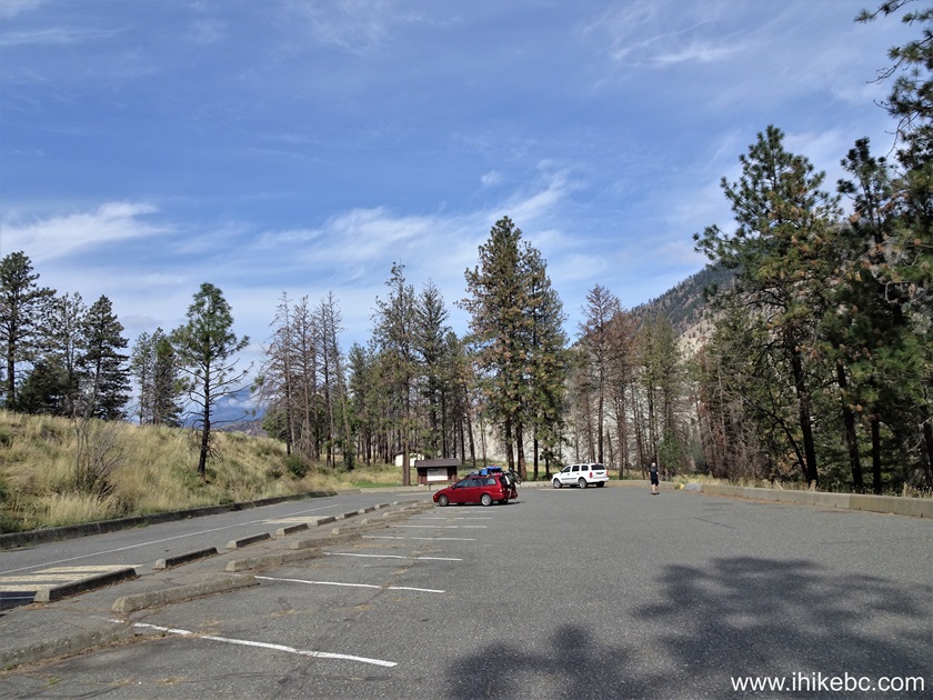
British Columbia Skihist Provincial Park picnic ground parking lot
13. At the end of the parking lot is the entrance to the picnic ground.
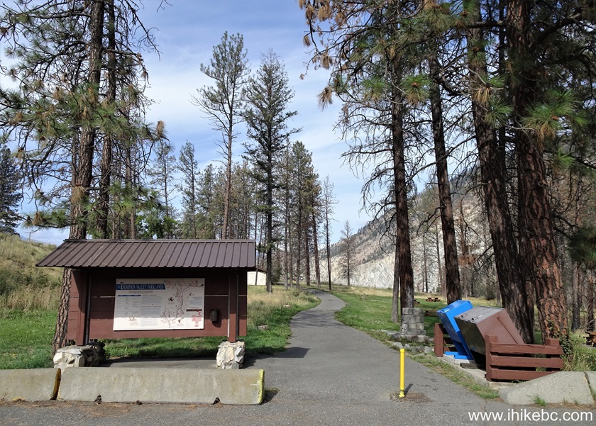
Skihist Provincial Park picnic ground entrance
14. The information board contains wildlife viewing calendar for this general area.
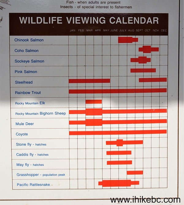
Wildlife Viewing Calendar for Skihist Provincial Park area
15.The path is about 200 meters long. Picnic tables are to the right, washroom to the left, and Thompson River / canyon viewpoint is straight ahead.

Skihist Provincial Park picnic ground
16. Picnic tables.
Picnic tables at Skihist Provincial Park picnic ground
17. Approaching the end of the picnic ground.
Picnic Ground at Skihist Provincial Park in British Columbia, Canada
18. Thompson Canyon information sign.
Thompson Canyon Information Sign
19. Thompson River / canyon viewpoint shortly after the sign.
Skihist Provincial Park Thompson River and Canyon Viewpoint
Here is our video of views from this location:
20. We are now back at the highway, ready to cross it to check out Skihist Provincial Park campground and trail.

Skihist Provincial Park Picnic Ground Entrance at TransCanada Highway 1
21-22. The entrance.
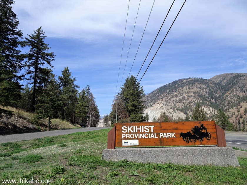
Skihist Provincial Park Sign
22. Skihist Provincial Park campground access road 700 meters from the entrance. This road is winding and a bit steep.

Skihist Provincial Park campground access road
23. A camping spot 1.2 km from the entrance. Go higher to reduce traffic noise from the highway.

Camping at Skihist Provincial Park, British Columbia, Canada
24. And here is the access road at the same place.
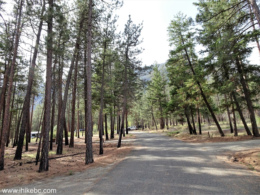
Skihist Provincial Park
25. Another camping spot at the 1.8 km mark.
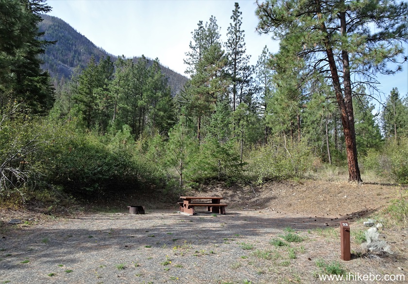
Camping Spot in Skihist Provincial Park near Lytton British Columbia
Canada
26-27. And here are the rules of the place.

Skihist Provincial Park Camping Rules
28. Things to do.

Skihist Provincial Park Things to Do
Here is our video of driving from Lytton to Skihist Provincial Park
and then driving through the campground and to public ground parking lot.
More ihikebc videos are on our YouTube Channel.
Our Skihist Provincial Park visit Continues on Page 2.
|
|
|
Other Trips:


Follow @ihikebc Tweet
ihikebc.com Trip 318 - Skihist Provincial Park Visit
(near Lytton, BC) Page 1 of 2


