Trip 305 - May 6-11, 2024 (Monday - Saturday)
Salt Spring Island Visit
British Columbia, Canada
Page 4 of 5
Liked: The ferry ride to and from Salt Spring Island, several fine hikes, recreation centre with available showers, picturesque waterfront walk in "downtown Salt Spring Island" - Ganges area.
Of Note:
As this is the largest Southern Gulf Island, Salt Spring is home to about 10,000 people, and it shows. You run into people way more often than on Galiano, Mayne, Pender or Saturna islands. Traffic, while laughable by Lower Mainland standards, is substantial compared to other Southern Gulf Islands. The roads on Salt Spring Island are frequently narrow, winding and without shoulders - watch for pedestrians, cyclists and wildlife. Please, walk facing the traffic, especially if there is no shoulder. Salt Spring Island is rather "liberal" even by West Coast standards. This can be a plus or a minus, depending on your perspective.Vancouver Island, Victoria & Gulf Islands Backroad Mapbook (9th edition) Trailhead Coordinates: Page 11 (Duncan) C-G 1-4.
Follow @ihikebc TweetWe have visited Salt Spring Island, located not far from Victoria BC (via a 35 minute ferry ride from Swartz Bay Terminal to Fulford Harbour Terminal), from May 6th to 11th, 2024. A great window of sun between two long stretches of rainy weather allowed for a substantial exploration and several hikes. This main Salt Spring Island trip report will describe our ferry rides, as well as trips which do not have trip reports of their own. Our visit went as follows:
May 6th (Monday) - ferry ride from Swartz Bay to Fulford Harbour, then hiked Coastline Trail in Rucker Provincial Park (trip report).
May 7th (Tuesday) - visit to Ganges ("downtown" Salt Spring Island), and checked out several shore access points elsewhere.
May 8th (Wednesday) - hike to Mount Maxwell observation area (trip report), then hike Reginald Hill and Fulford Harbour trails.
May 9th (Thursday) - Mount Erskine hike (trip report).
May 10th (Friday) - visits to Musgrave Landing Public Dock and Burgoyne Bay Provincial Park.
May 11th (Saturday) - ferry ride from Fulford Harbour to Swartz Bay.
92. We then drove from Morningside Drive (Reginald Hill Trail) to Menhinick Drive (Fulford Harbour Trail). You just might be able to walk on Reginald Hill Road to the other trailhead (seen in photo #108) of Fulford Harbour Trail and avoid all this driving. But here are Google Maps directions, in case you do drive.
93. We are en route to Fulford Harbour Trail (end of Menhinick Drive). Turning right from Fulford-Ganges Road onto Beaver Point Road.
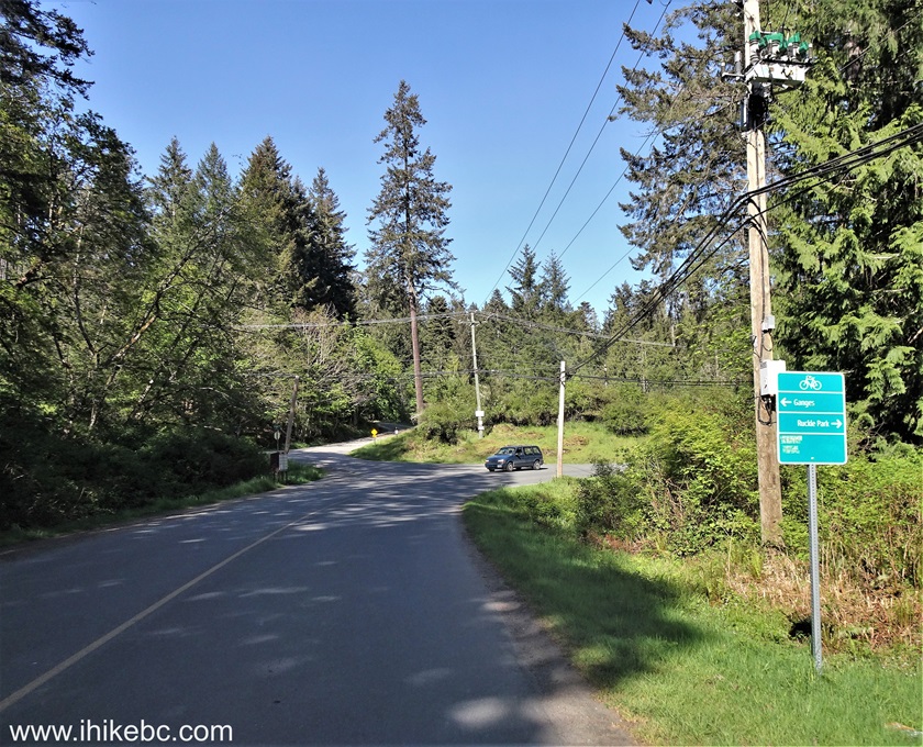
Fulford-Ganges Road at Beaver Point Road Salt Spring
Island British Columbia
94. Now turning right from Beaver Point Road onto Bridgman Road. Going straight here would eventually lead to Ruckle Provincial Park (Coastline Trail trip report).
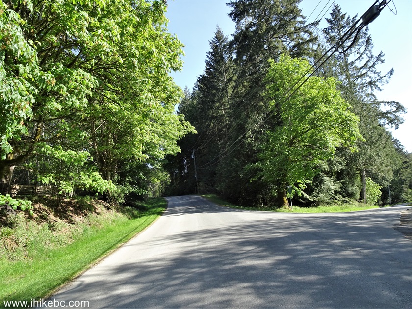
Beaver Point Road at Bridgman Road Salt Spring Island
BC Canada
95. Now at the end of Menhinick Drive, and Fulford Harbour Trail is straight ahead (on the right side of the photo, where a white sign can be seen).
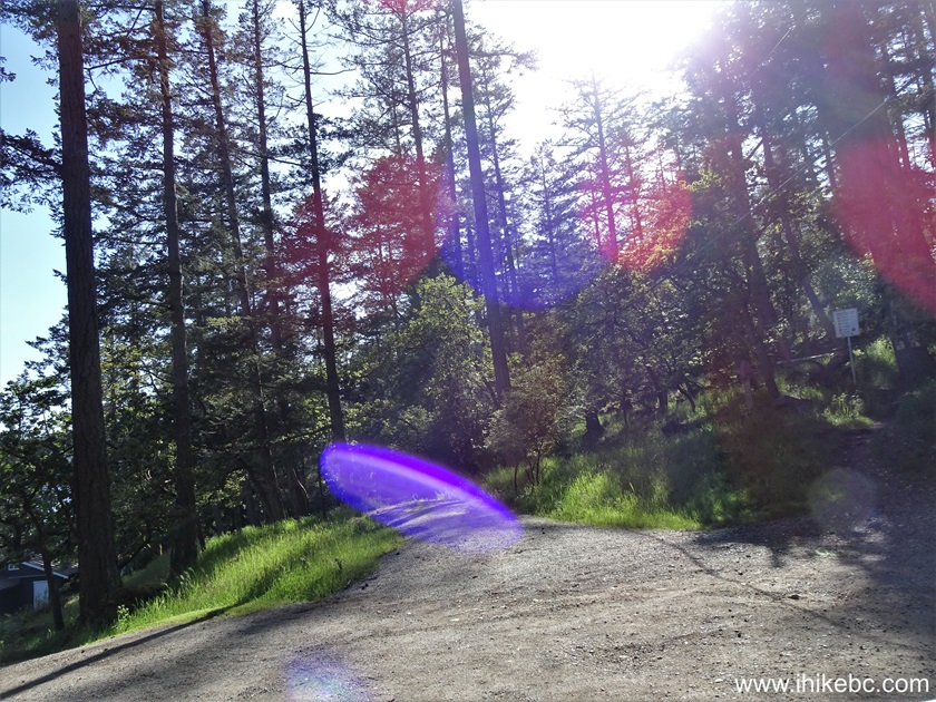
Menhinick Drive at Fulford Harbour Trail trailhead
Here is our video of driving from Morningside Road to Menhinick Drive.
More ihikebc videos are on our YouTube Channel.
96. Fulford Harbour Trail begins. Coordinates: N 48⁰45.475' W 123⁰25.222'. Elevation: 35 meters.
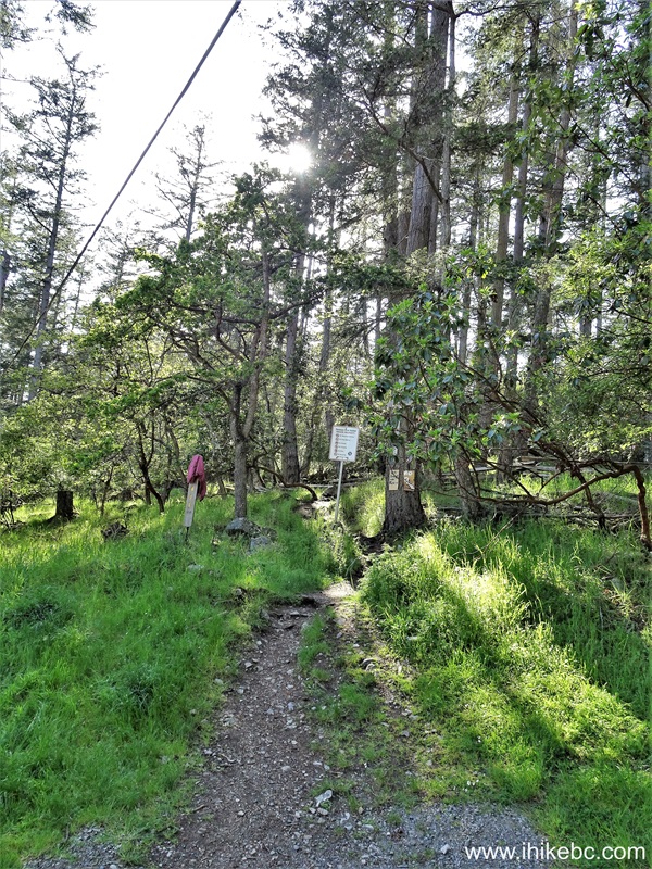
Salt Spring Island Hike - Fulford Harbour Trail
97. The trail goes through the territory of Tsawout First Nation.

Tsawout First Nation Private Property Sign
98. Right after the sign, the trail splits. Keep left. There would be another split later on - keep left again.

Fulford Harbour Trail
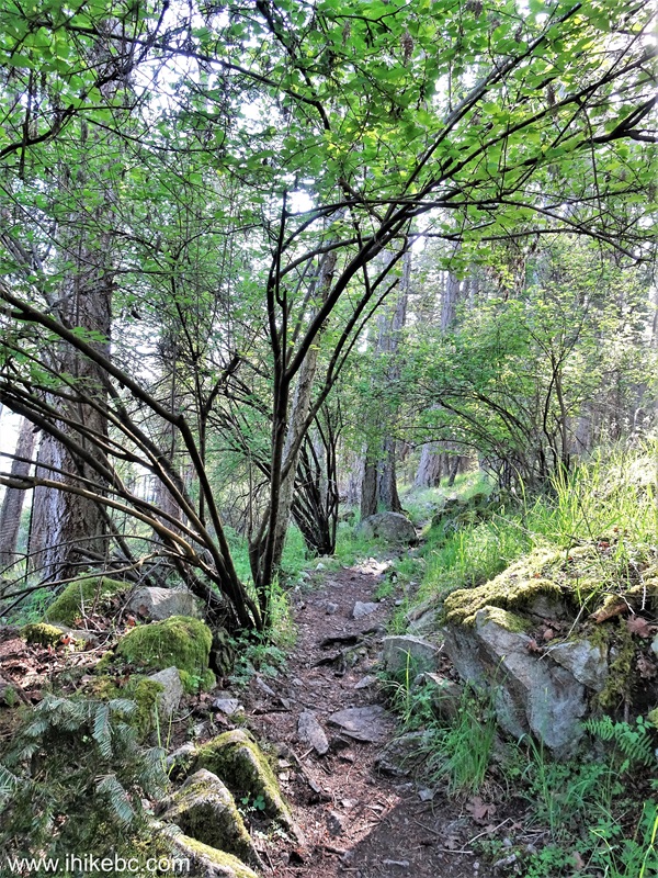
99. Fulford Harbour Trail at the 55 meter mark. All trail distances are based on a GPS odometer and are approximate.
Hike on Salt Spring Island - Fulford Harbour Trail
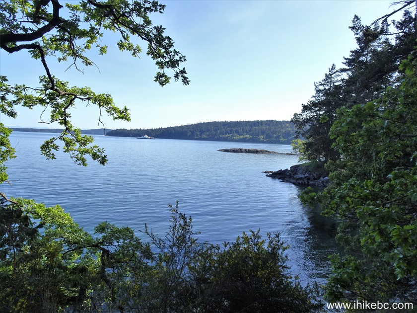
100. A view of Fulford Harbour at the 155 meter mark.
Fulford Harbour Salt Spring Island BC
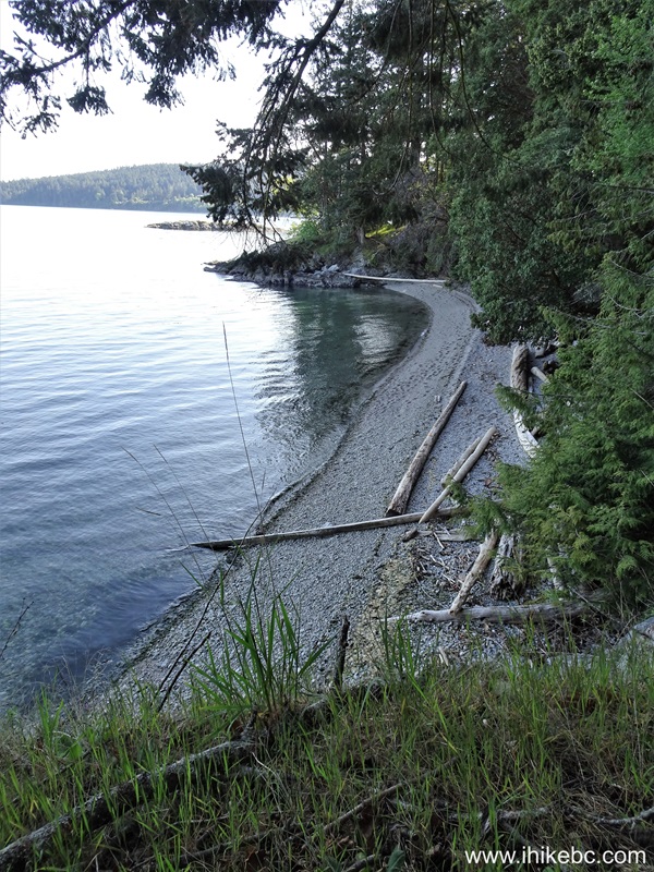
101. A small beach 25 meters later.
Salt Spring Island
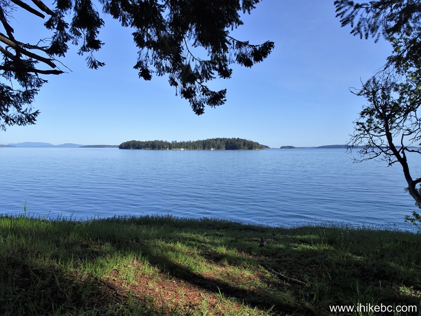
102. Now at 330 meters of Fulford Harbour Trail on Salt Spring Island, BC.
View from Fulford Harbour Trail on Salt Spring Island
BC
103. Going through a forest at 540 meters of the trail.
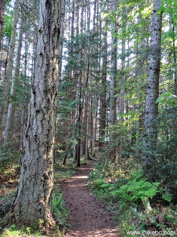
Hiking on Salt Spring Island BC - Fulford Harbour
Trail
104. A very fine view at the 820 meter mark.
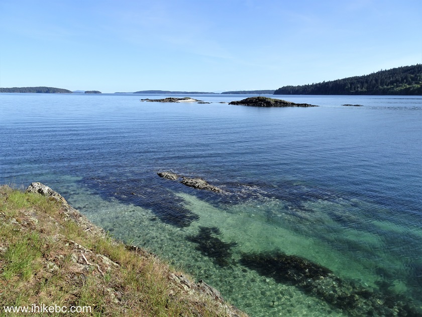
View from Fulford Harbour Trail - Salt Spring Island British Columbia
105. Looking back at 1.10 km.
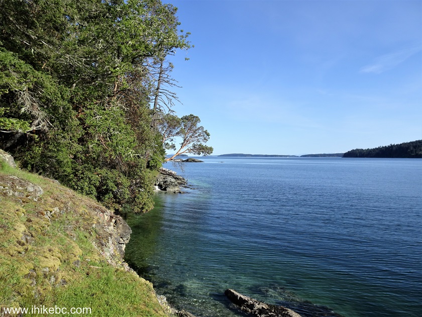
Salt Spring Island
106. Getting closer to the end while walking by some houses on Reginald Hill Road at 1.53 km.
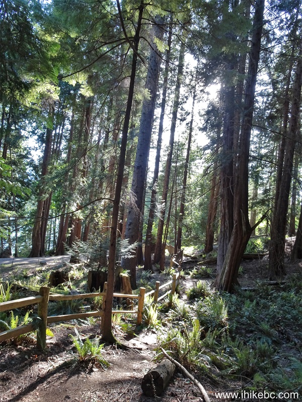
Hiking on Salt Spring Island - Fulford Harbour Trail
107. 40 meters later.

Fulford Harbour Trail Hike on Salt Spring Island BC Canada
108. At 1.60 km, we have finished Fulford Harbour Trail by reaching Reginald Hill Road. Coordinates: N 48⁰45.583' W 123⁰26.019'. Elevation: 20 meters. Looking back at the trailhead. If we understand correctly, going down Reginald Hill Road would reach Reginald Hill trailhead covered on page 3 of this trip report.
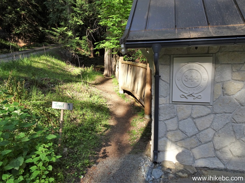
Salt Spring Island - Fulford Harbour Trail trailhead on Reginald Hill
Road
109. A neat address sign.
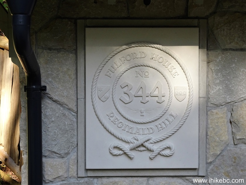
Pretty house sign Salt Spring Island BC
May 9, 2024 (Thursday)
110. Hiked Mount Erskine Trail (trip report is here).

View from Mount Erskine Trail - Salt Spring Island BC
111. After hiking Mount Erskine, we returned via some other roads, and found an interesting house sign at 161 Toynbee Road.
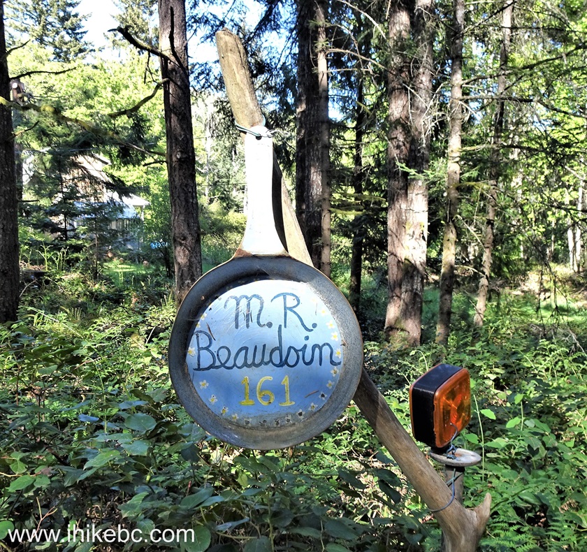
House number sign Salt Spring Island British Columbia Canada
112-113. Salt Spring Island community farm stand at the meeting point of Toynbee Road, Cranberry Road, and Mt. Maxwell Road. Take what you like, leave payment, and enjoy.

Salt Spring Island Community Farm Stand
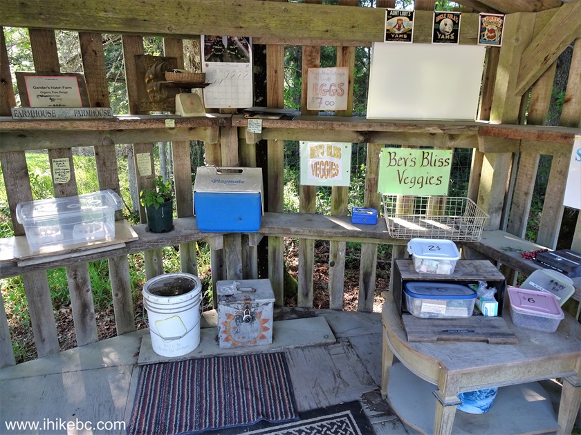
Community Farm Stand on Salt Spring Island BC
114. Something is going on with houses on Salt Spring Island numbered 161. Yet another house #161, this time on Cranberry Road, has a very fine sign.

A Fine House Sign Salt Spring Island BC
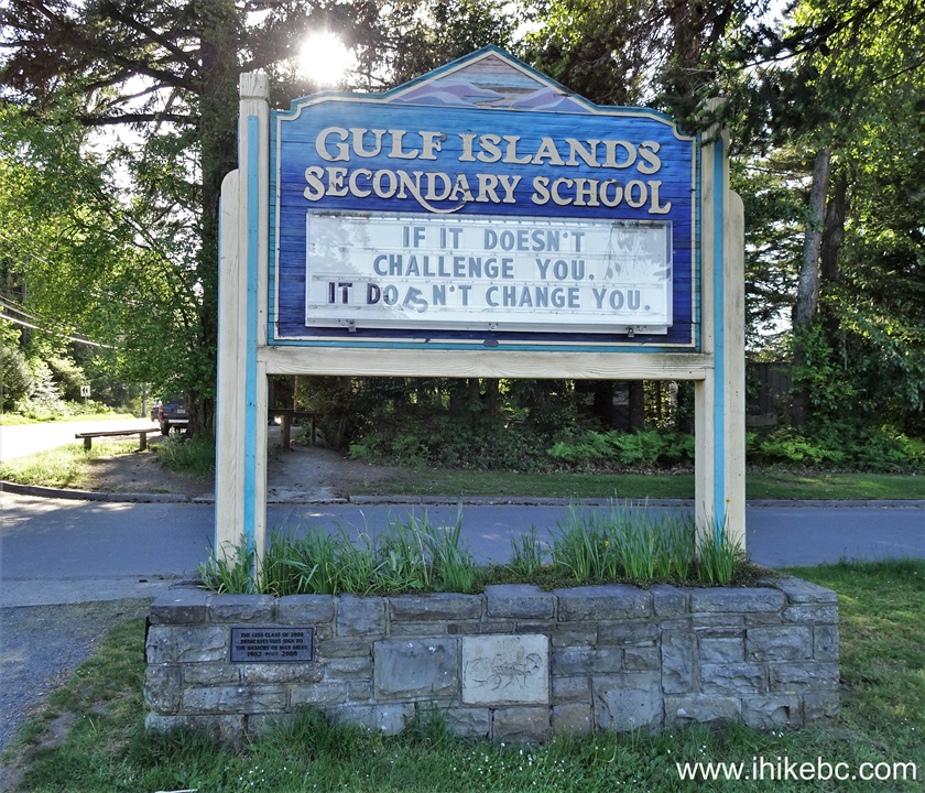
115. Gulf Islands Secondary School located on Rainbow Road close to the Recreation Centre reminds that if it doesn't challenge you, it doesn't change you.
Salt Spring Island BC - Gulf Islands Secondary School Message Board
May 10, 2024 (Friday)
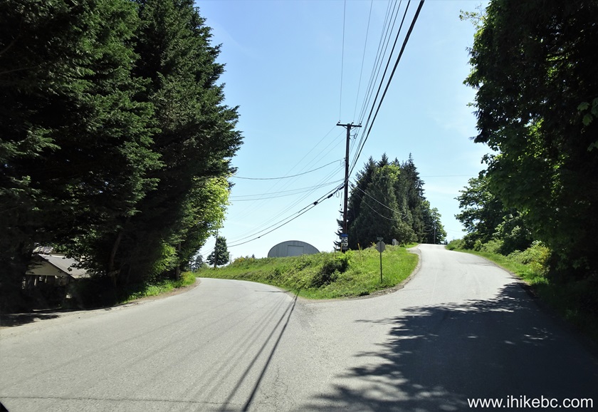
116. In the morning, decided to hike a trail near Mill Farm Regional Park Reserve, but could not find it. Here we are on Isabella Point Road making a right turn onto Musgrave Road.
Isabella Point Road at Musgrave Road Salt Spring Island British Columbia
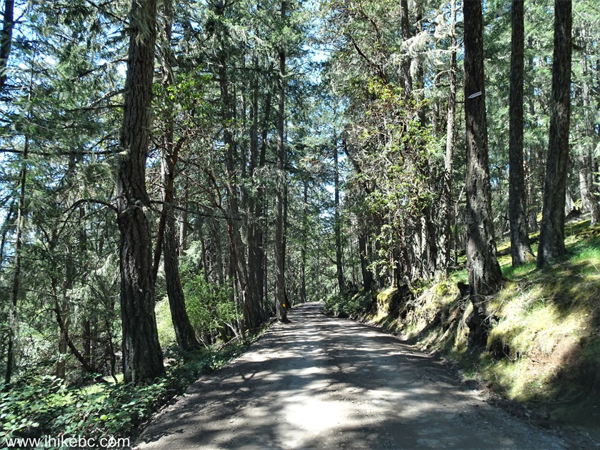
117. Now on Musgrave Road.
Musgrave Road - Salt Spring Island BC Canada
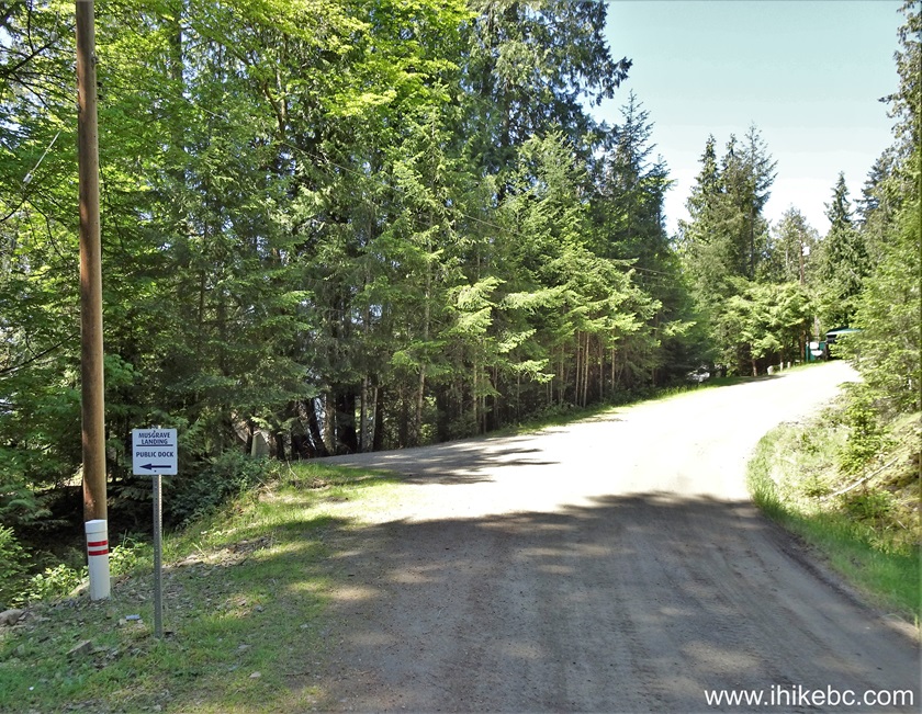
118. Drove to the end of Musgrave Road and discovered Musgrave Landing public dock (a sign on the left side shows where it is).
Musgrave Road at Musgrave Landing Public Dock Access Road
119. A short path to the dock.

Musgrave Landing Dock access path
120. Here it is.
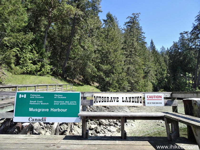
Musgrave Landing Public Dock
Our Salt Spring Island Visit trip report concludes on Page 5.
|
|
|
Other Trips:


Follow @ihikebc Tweet
ihikebc.com Trip 305 - Salt Spring Island, BC Visit -
Page 4 of 5


