![]()
![]()
![]()

Trip 305 - May 6-11, 2024 (Monday - Saturday)
Salt Spring Island Visit
British Columbia, Canada
Page 2 of 5
Liked: The ferry ride to and from Salt Spring Island, several fine hikes, recreation centre with available showers, picturesque waterfront walk in "downtown Salt Spring Island" - Ganges area.
Of Note:
As this is the largest Southern Gulf Island, Salt Spring is home to about 10,000 people, and it shows. You run into people way more often than on Galiano, Mayne, Pender or Saturna islands. Traffic, while laughable by Lower Mainland standards, is substantial compared to other Southern Gulf Islands. The roads on Salt Spring Island are frequently narrow, winding and without shoulders - watch for pedestrians, cyclists and wildlife. Please, walk facing the traffic, especially if there is no shoulder. Salt Spring Island is rather "liberal" even by West Coast standards. This can be a plus or a minus, depending on your perspective.Vancouver Island, Victoria & Gulf Islands Backroad Mapbook (9th edition) Trailhead Coordinates: Page 11 (Duncan) C-G 1-4.
Follow @ihikebc TweetWe have visited Salt Spring Island, located not far from Victoria BC (via a 35 minute ferry ride from Swartz Bay Terminal to Fulford Harbour Terminal), from May 6th to 11th, 2024. A great window of sun between two long stretches of rainy weather allowed for a substantial exploration and several hikes. This main Salt Spring Island trip report will describe our ferry rides, as well as trips which do not have trip reports of their own. Our visit went as follows:
May 6th (Monday) - ferry ride from Swartz Bay to Fulford Harbour, then hiked Coastline Trail in Rucker Provincial Park (trip report).
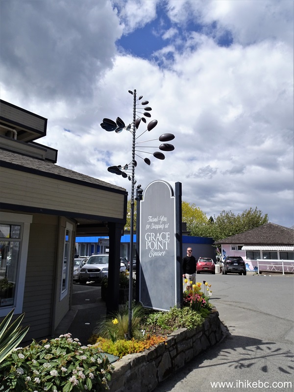
May 7th (Tuesday) - visit to Ganges ("downtown" Salt Spring Island), and checked out several shore access points elsewhere.
May 8th (Wednesday) - hike to Mount Maxwell observation area (trip report), then hike Reginald Hill and Fulford Harbour trails.
May 9th (Thursday) - Mount Erskine hike (trip report).
May 10th (Friday) - visits to Musgrave Landing Public Dock and Burgoyne Bay Provincial Park.
May 11th (Saturday) - ferry ride from Fulford Harbour to Swartz Bay.
36. Another rotating public art display in Ganges on Salt Spring Island.
Public Art - Salt Spring Island - British Columbia - Canada
37. Also in Ganges is a harbour airport, if taking a ferry is too slow for you.
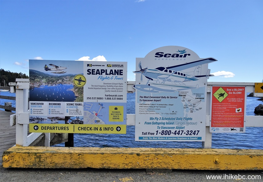
Seair information board Salt Spring Island BC
38. Access to harbour airport.
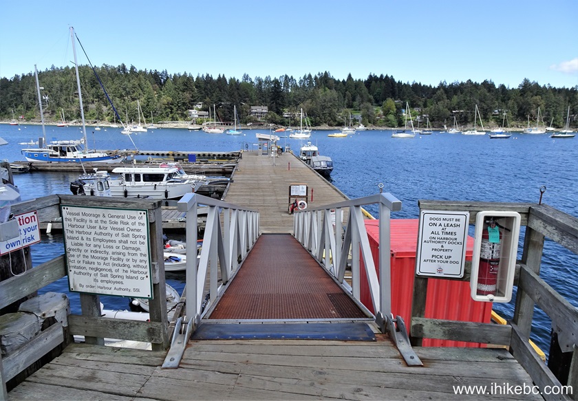
Salt Spring Island Harbour Airport Access Ramp
39. Seaplane waiting area.

Seaplane waiting area Salt Spring Island BC
40. Canada Coast Guard vessel Cape Naden docked in Ganges harbour.
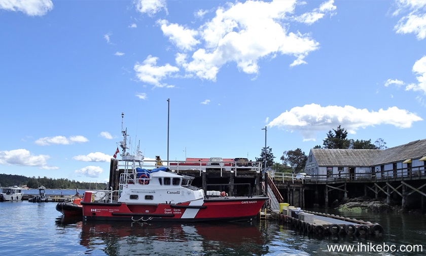
"Cape Naden' Canada Coast Guard vessel
41. Sailboat Ember docked at Salt Spring Island.
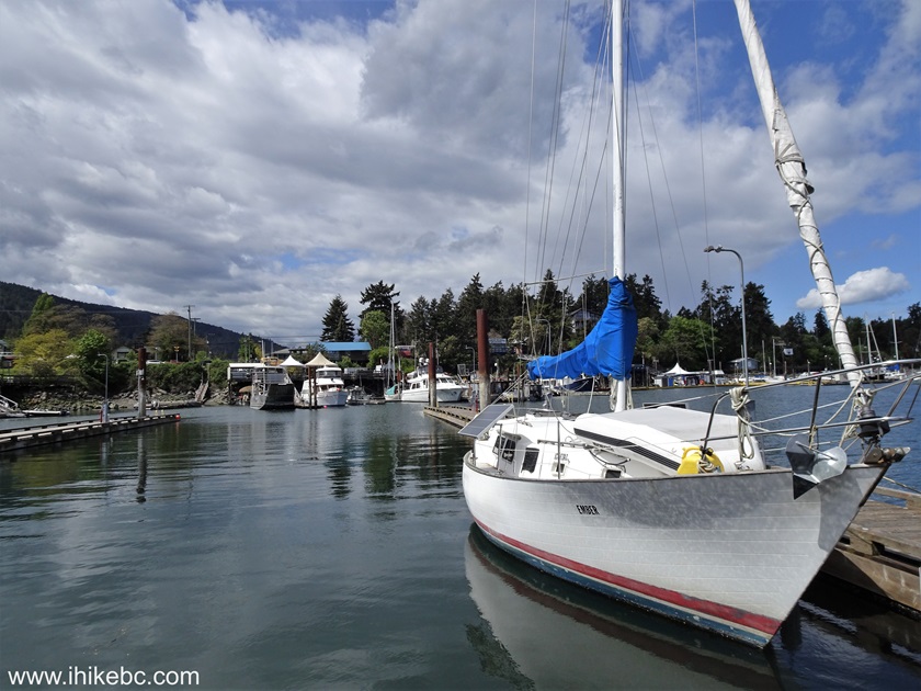
Sailboat at Ganges Harbour Salt Spring Island BC Canada
42. Welcome to Ganges sign.
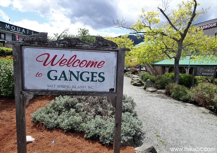
Welcome to Ganges sign
43. Ganges Marina on Salt Spring Island, BC.
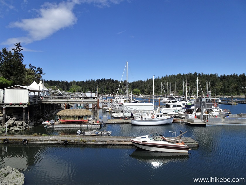
Ganges Marina Salt Spring Island British Columbia
44. A neat houseboat.
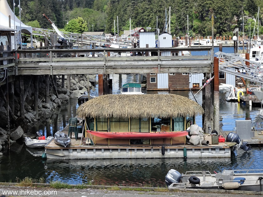
Houseboat Salt Spring Island BC
45. Another look at Ganges Marina.
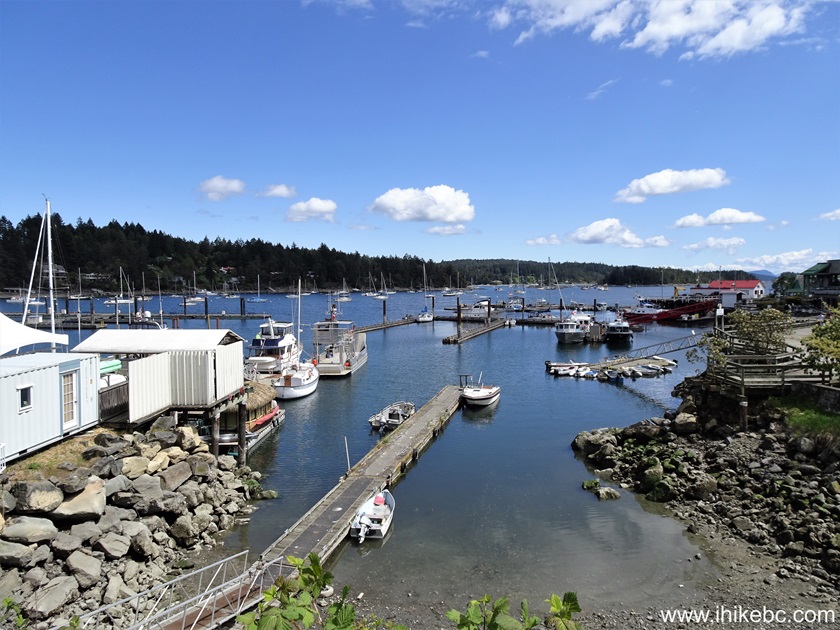
Ganges Marina
46. A map of Ganges.
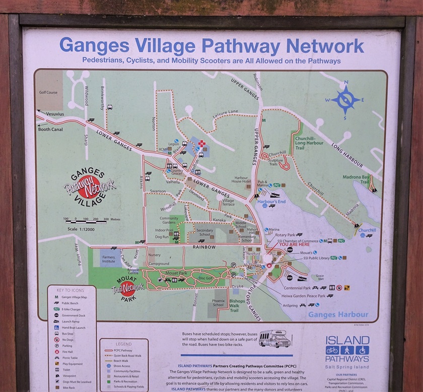
Map of Ganges Salt Spring Island British Columbia Canada
47. Salt Spring Island fire department. The engine bears a "Let's go guys!" slogan.
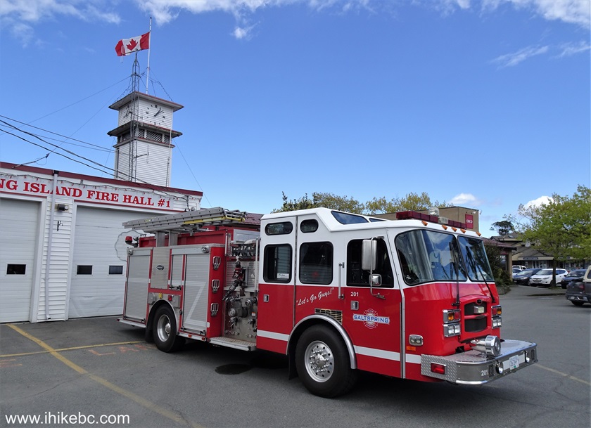
Salt Spring Island Fire Department
48-49. An (apparently) homeless person in Ganges sleeping on a lawn in the middle of the day.
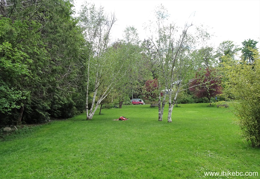
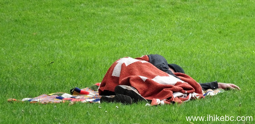
Person sleeping on a grass on Salt Spring Island BC
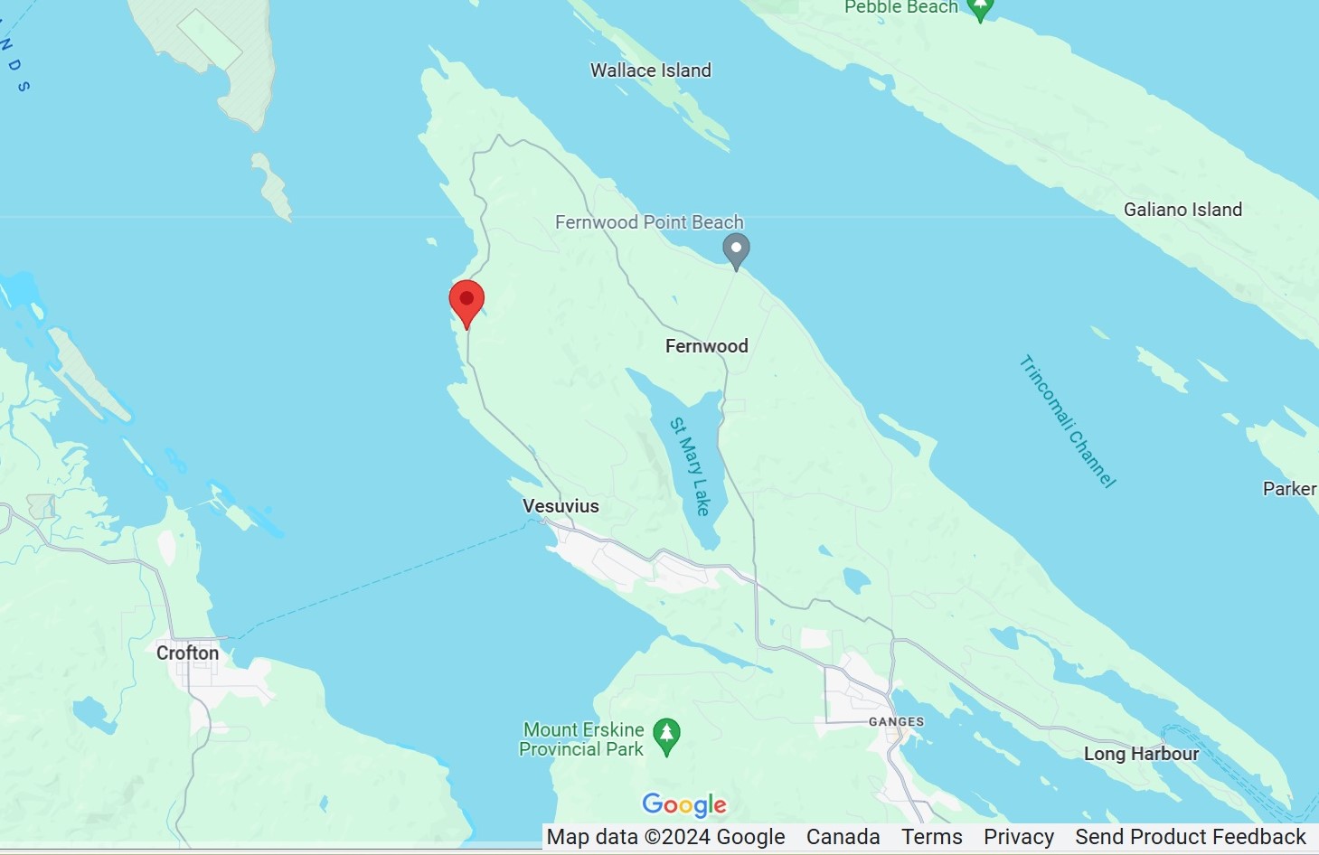
50. We then visited several Salt Spring Island shore access points in the northwestern part of the island. The first one is located by 820 Sunset Drive. Here is a Google Maps location of this address. The shore access is about 100 meters south of the intersection with Sir Echos Way.
Here is our video of driving from Ganges to Sunset Drive.
51. A sign across the highway from the shore access path.
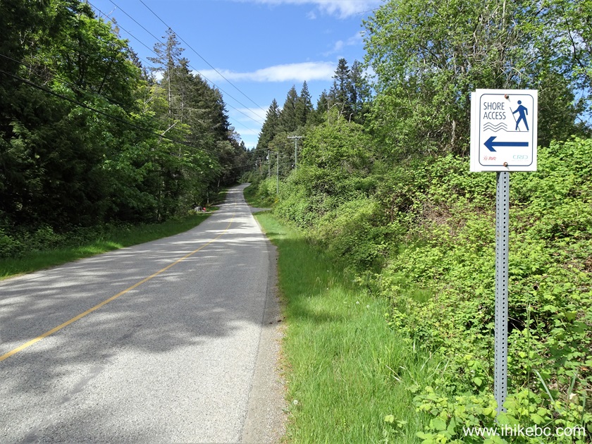
Sunset Drive Salt Spring Island BC
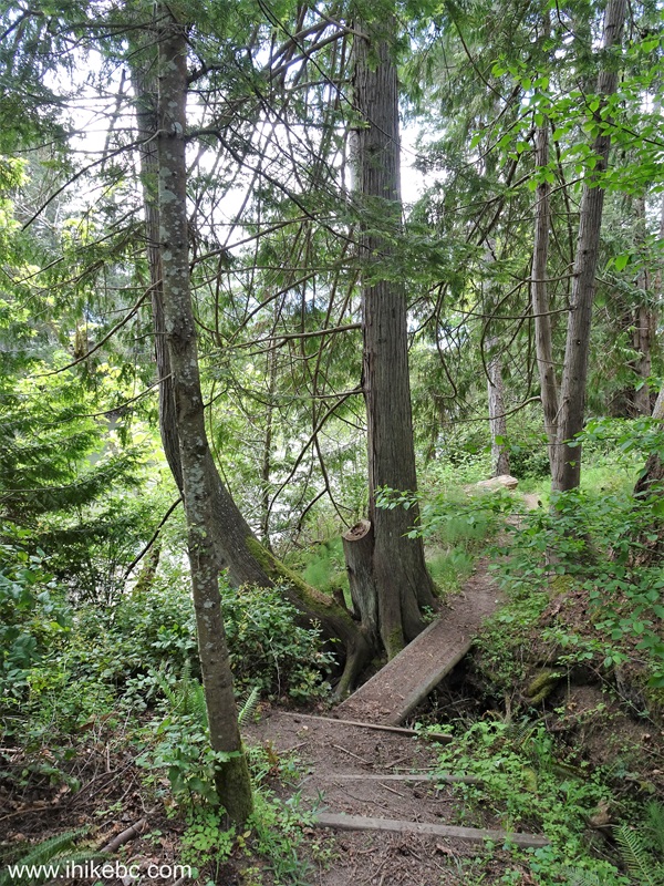
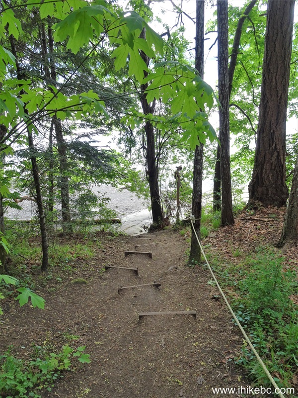
52. The start of the shore access path just to the right of 820 Sunset Drive. Coordinates: Coordinates: N 48⁰54.466' W 123⁰35.286'. Elevation: 15 meters.

Salt Spring Island shore access path off Sunset Drive
53. The shore access path about 80 meters later.
Salt Spring Island
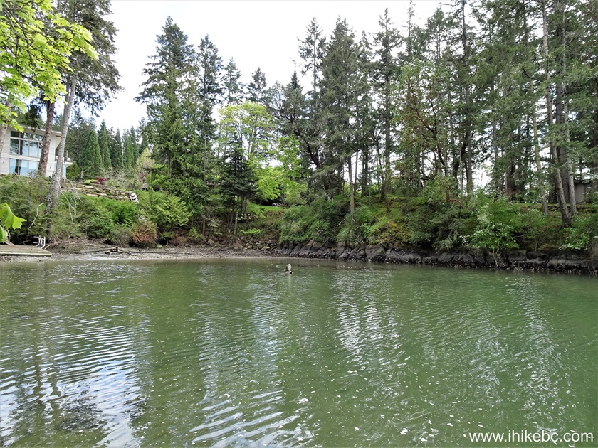
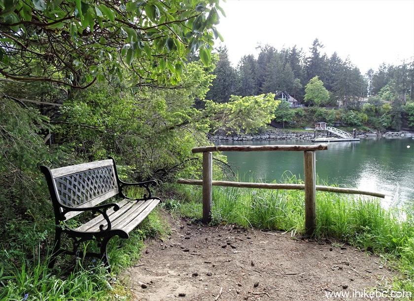
54. We have reached the shore after hiking 120 meters from Sunset Drive. Take a note of a statue chilling in the water in the middle-left of this photograph. We will see it a bit closer later on in photos #60 and #61.

Salt Spring Island BC
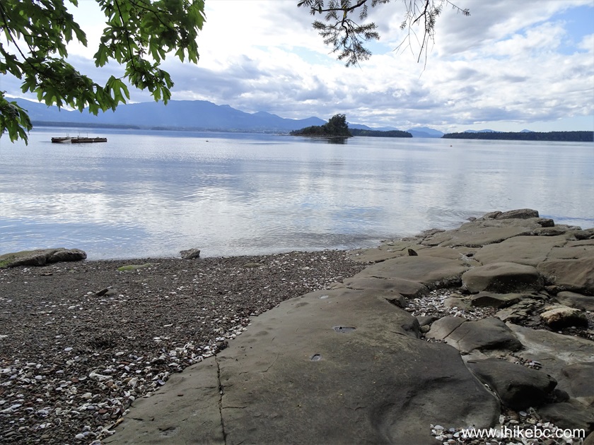
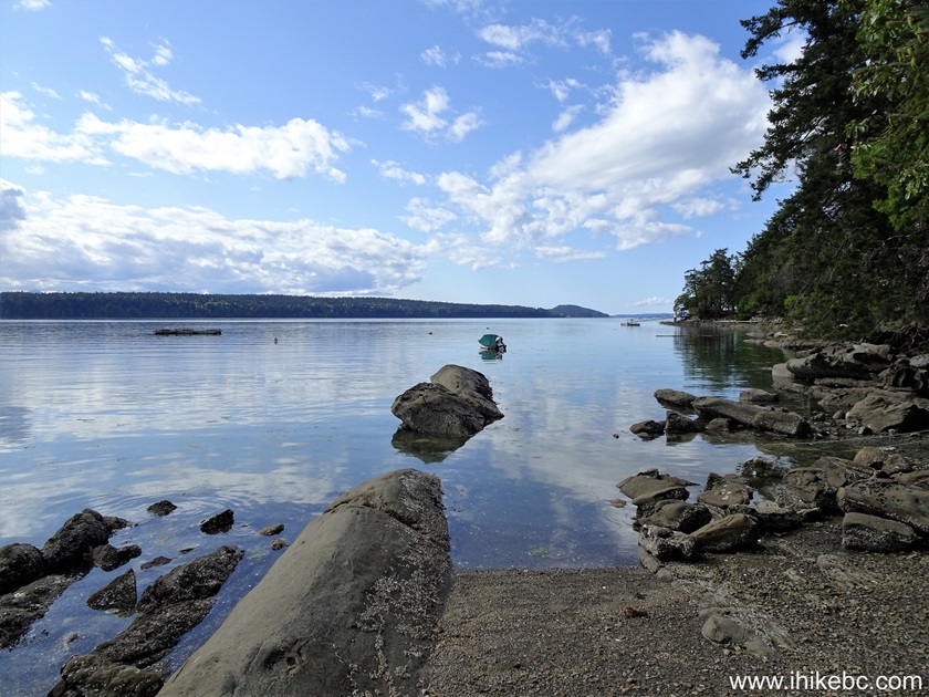
55. Now it's time to check out the shore by walking for about 300 meters on the right side. At 150 meters here. All shoreline hiking distances are approximate. High tide may make all shoreline hiking more challenging.
Salt Spring Island shore access point
56. Neat sandstone 150 meters later.
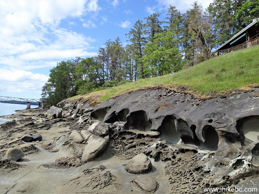
Salt Spring Island sandstone
57. At 250 meters now.

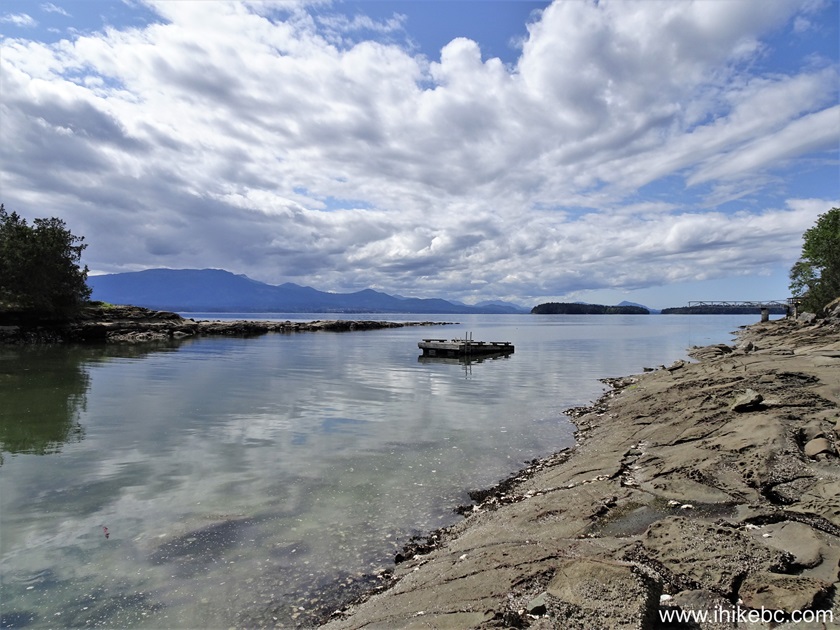
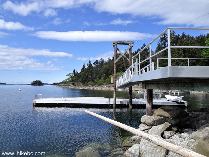
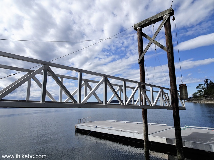
Salt Spring Island British Columbia Canada
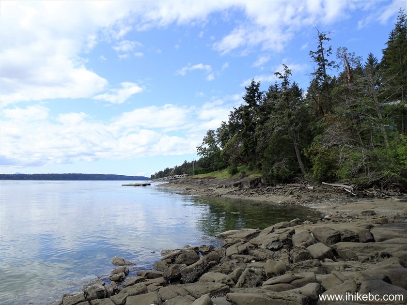
58-59. And the path ends at a fine dock 300 meters from the start of the shoreline hike.
60-61. Now let's check out the lady in the water. Plain and zoomed.

Lady in water statue Salt Spring Island BC
62. The second shore access we visited is 1.4 km further North near 1084 Sunset Drive. Coordinates: N 48⁰55.061' W 123⁰35.050'. Elevation: 30 meters.

Salt Spring Island
63. 150 meters later.
Path to shore access Salt Spring Island BC
64. Fifteen meters more, and we are at the shore.
Salt Spring Island BC Canada
65. The second shore access is not as good as the first one.
Salt Spring Island shore
66. We then went to the end of Southey Point Road (North on Sunset Drive, then left where Sunset Drive splits into North End Road on right, and Southey Point Road on left).
End of Southey Point Road - Salt Spring Island British Columbia
Here is our video of driving from Sunset Drive to Southey Point Road.
More ihikebc videos are on our YouTube Channel.
67. And here is shore access at the end of Southey Point Road, next to the parking area, which would not be suitable for anything (much) bigger than a full-size pickup truck.
Salt Spring Island
68. A bit further.

The shore of Salt Spring Island BC
Our Salt Spring Island Visit trip report Continues on Page 3.


|
 |
Other Trips:


![]()
![]()
![]()
ihikebc.com Trip 305 - Salt Spring Island, BC Visit -
Page 2 of 5