![]()
![]()
![]()

Trip 246 - May 18 and 20, 2022 (Wednesday & Friday)
Mount Galiano Trail Hike
Galiano Island, British Columbia
Liked: Great views of Gulf Islands (Mayne, Pender, Prevost & Salt Spring) from the top of Mount Galiano, shade in the forest, no bugs, a relatively short and easy trail, the second half of the trail can be done in a loop.
Of Note: Steep unbarricaded drop-offs at the viewpoint area, uneven ground, roots and rocks, hiking poles and boots are recommendedVancouver Island, Victoria & Gulf Islands Backroad Mapbook (9th edition) Mount Galiano Trailhead Coordinates: Page 20 (Galiano Island) - F3/F4.
Mount Galiano is located on Galiano Island, a part of British Columbia Southern Gulf Islands. A ferry from Tsawwassen or Swartz Bay gets you to Galiano Island, and then it's about 6 kilometers from Sturdies Bay Ferry Terminal to Mount Galiano Trailhead. Keep heading up Sturdies Bay Road, at the split with Porlier Pass Road stay left (the road will become Georgeson Bay Road) and then, almost at the end of Georgeson Bay Road, make a right turn onto Active Pass Drive - the parking lot and the trailhead for Mount Galiano would be on the right side several hundred meters later.
Mount Galiano Trail is easy-to-moderately challenging, and is just under 4 km one way. It goes through a featureless forest and leads to a great view of islands and the ocean. At only 314 meters maximum elevation, this is a very fine early/late season trail.
1. Here is a Google map with directions from Sturdies Bay Ferry Terminal to Mount Galiano trailhead.
2. We are on Galiano Island on Georgeson Bay Road, ready to make a right turn onto Active Pass Drive.
Georgeson Bay Road at Active Pass Drive Galiano Island BC
3. Now on Active Pass Drive.
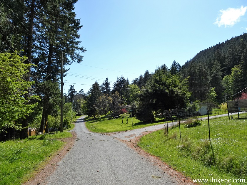
Galiano Island Active Pass Drive
4. Near the end of Active Pass Drive, make a right turn onto Mount Galiano Trail parking lot.
Active Pass Drive at Mount Galiano Trailhead access road
5. Here is Mount Galiano Trail parking lot. Coordinates: N 48°51.914’ W 123°21.175’. Elevation: 67 meters. It is shared with Collinson Point Provincial Park access trail.
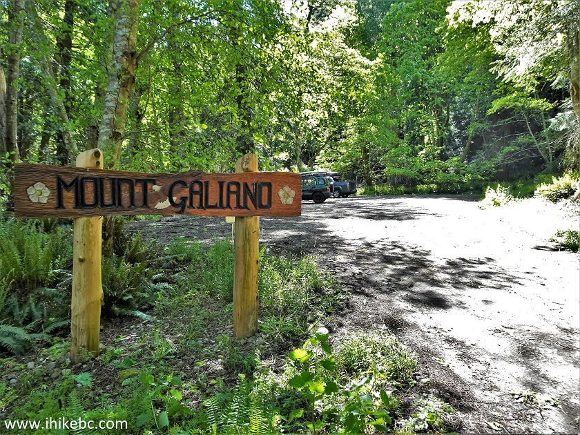
Mount Galiano Trail Parking Lot
6. The trail starts at the end of the parking lot, on the right side.
Mount Galiano Trailhead
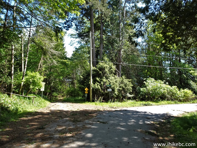
7. Within 20 meters, make a not-very-obvious sharp right turn (exactly where the arrow points in the photo above) to stay on Mount Galiano Trail. Otherwise, the path will take you to much less impressive Collinson Point Provincial Park. Here is Mount Galiano Trail at 60 meters (all distances are based on a GPS odometer and are approximate).
Galiano Island Hiking on Mount Galiano
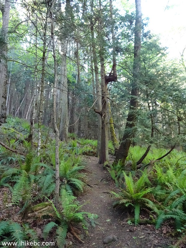
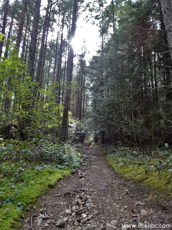
8. There is not much to see in the forest, so here we are at 1.28 km now.
Galiano Island Trail - Mount Galiano Hike
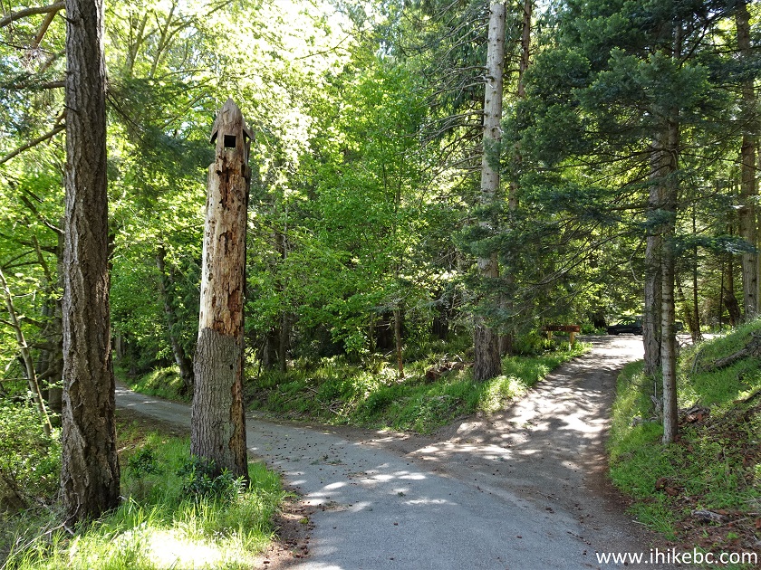
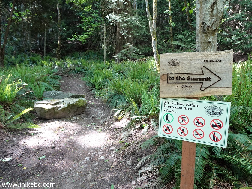
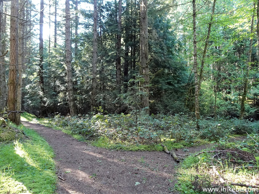
9. At 1.40 km, there is a T-junction - go left where the sign is pointing. Going right is a path to a private farm.
Mount Galiano Trail
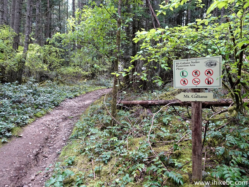
10. Ignore a spur on the right at 1.60 km.
Mount Galiano Trail - Southern Gulf Islands Hiking - British Columbia -
Canada
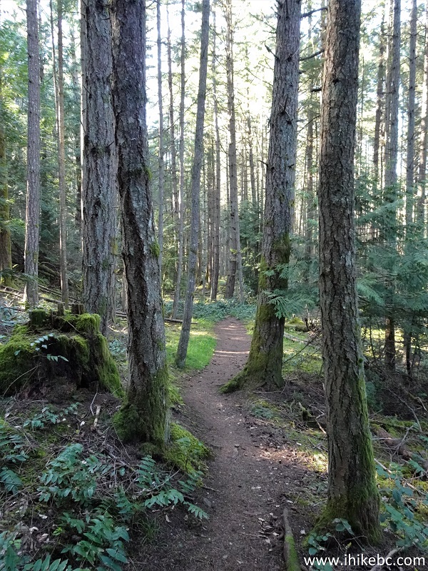
11. There is lots of shade and no bugs in this forest.
Mount Galiano Hike
12. At 2.00 km, the loop begins. Coordinates: N 48°52.097’ W 123°21.998’. Elevation: 263 meters. It doesn't matter which way you go, as it's the same easy trail to the same fine viewpoint less than 2km later.
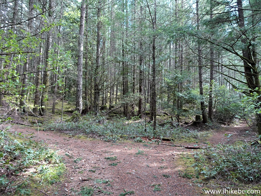
Hike on Galiano Island - Mount Galiano Trail
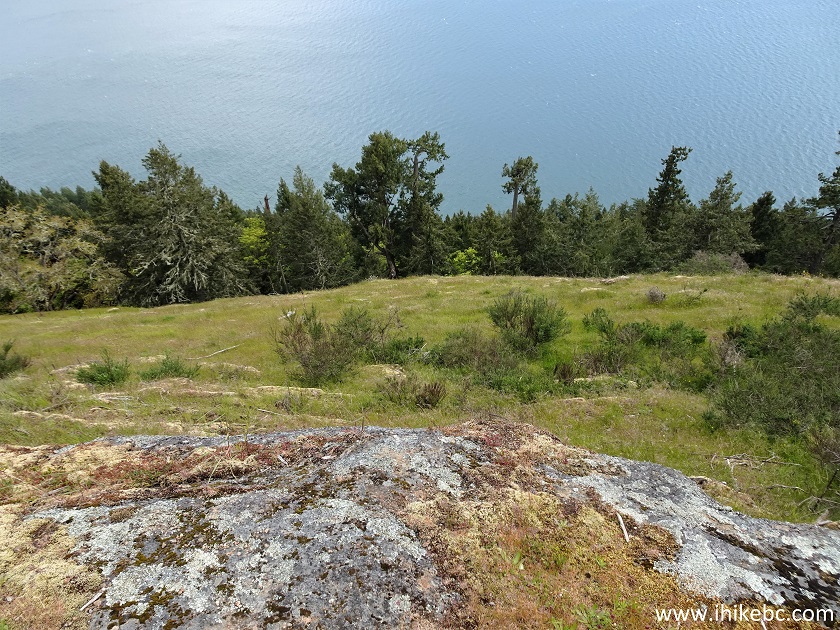
13. We took the path on the right, and are now approaching the viewpoint.
Mount Galiano
14. WARNING - DANGEROUS AREA. The views are so fine that it could be easy to make a wrong step while checking them out, and the drop-offs are substantial. Watch out!
Mount Galiano Steep Drop-off
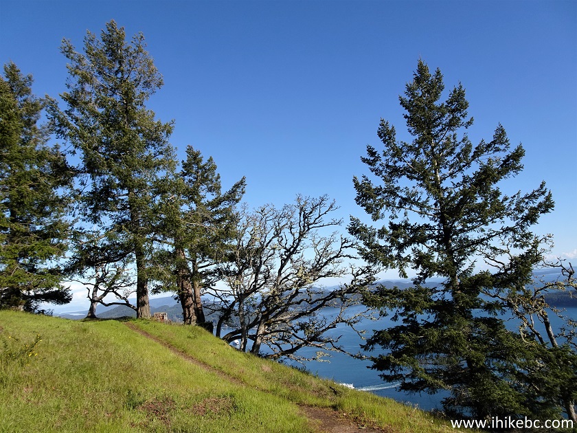
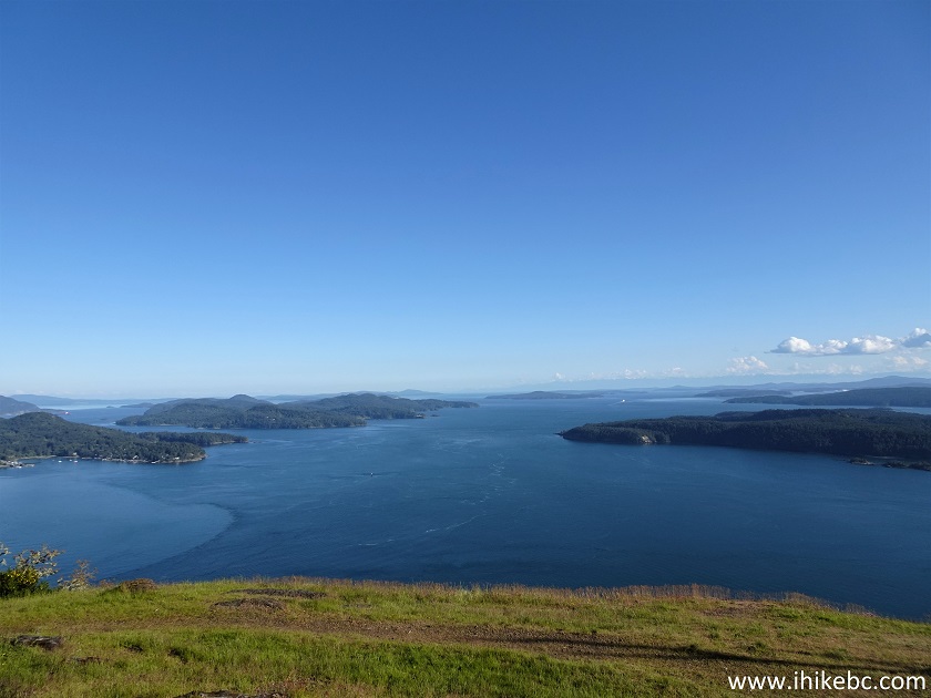
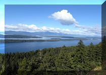
15. So, yes, the views from the top of Mount Galiano are awesome! They are quite panoramic and you can see far in the distance. All the ferry and boat traffic, as well as an occasional airplane, make it even better. Coordinates: N 48°51.826’ W 123°21.750’. Elevation: 314 meters. To the left is Mayne Island, to the right of it is Pender Island and, on the right side of the photograph, we see a bit of Prevost Island.
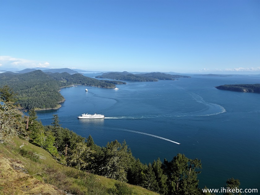
Mayne Island and Pender Island View from Mount Galiano
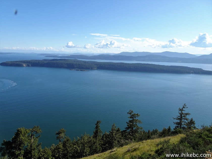
16. Looking more to the right, we see Prevost Island, and Salt Spring Island in the background.
Prevost Island View from Mount Galiano
17. Yet more to the right.
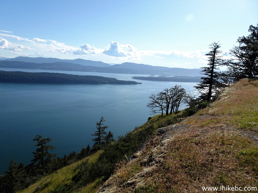
View from Mount Galiano
18. Now a panorama.
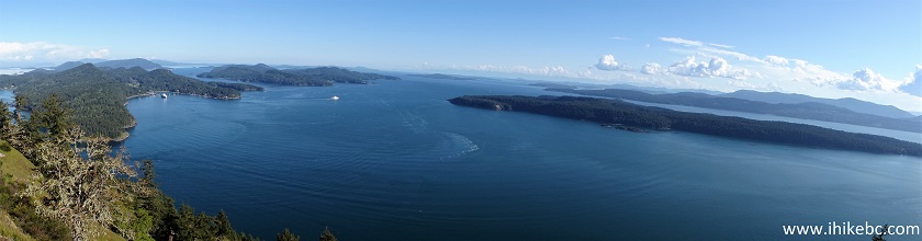
View from Top of Mount Galiano
19. Zooming in, we see Mayne Island and Village Bay Ferry Terminal, with BC Ferry "Salish Eagle" en route to Galiano Island's Sturdies Bay Terminal.
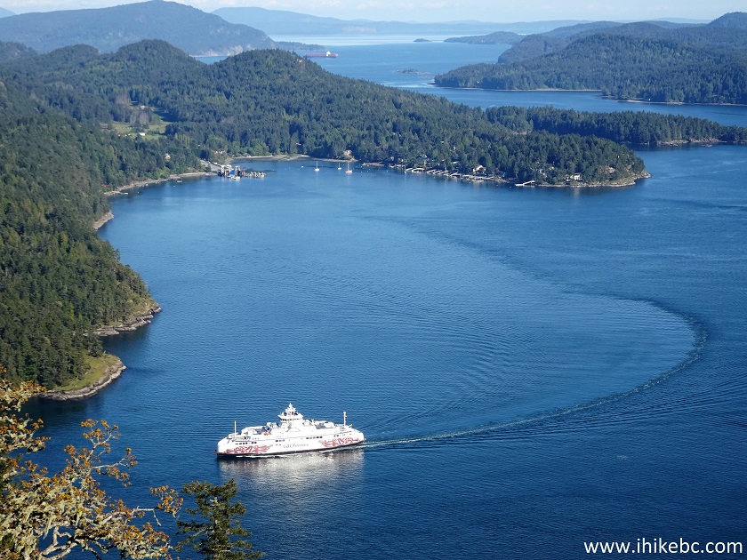
Mayne Island and Salish Eagle BC Ferry
20. Looking straight ahead.
Mount Galiano Viewpoint on Galiano Island
BC
21. With some zoom, we see another BC Ferry en route to Tsawwassen Terminal in Delta.
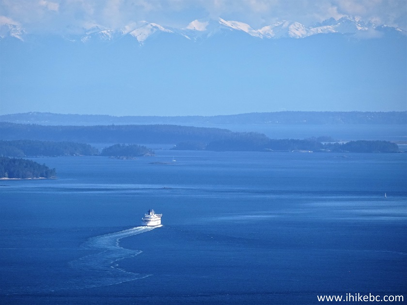
BC Ferry View from Mount Galiano
Here is our video of the view from the top of Mt. Galiano.
And now from the same location but a bit more and on a cloudy day.
More ihikebc videos are on our YouTube Channel.
Mount Galiano Trail is fairly easy and leads to a wonderful viewpoint. Just watch for those drop-offs. Highly recommended.


|
 |
Other Trips on Galiano Island:
|
|
|
|
|
|
|
Other Trips:


![]()
![]()
![]()
ihikebc.com Trip 246 - Mount Galiano Trail Hike (Galiano Island BC)