![]()
![]()
![]()

Trip 126 - July 8, 2017 (Saturday)
Murray Range Trail Hike
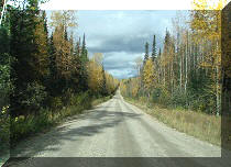
Off Highway 97 in the general vicinity of Mackenzie BC
Page 2 of 2
Location: Northeastern British Columbia, by Highway 97, 44 km
North of Mackenzie Junction (Hwy 97 at Hwy 39), and 104 km South of
Chetwynd.
Liked: Easy access to trailhead off Highway 97, view of Azouzetta Lake, view of mountain lakes, haphazard stone formations in the alpine.
Of note: Relentlessly steep trail for most of the way to the alpine. Numerous mosquitoes up to the alpine. Noise from Highway 97 for much of the trail. Some parts of the trail are overgrown and washed out. Very windy in some places in the alpine. Hiking poles and boots are essential.
Northern BC Backroad Mapbook (3rd edition) Trailhead Coordinates: Page 56 (Pine Pass) B5.
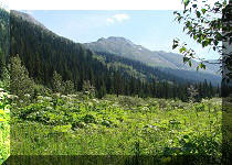
Murray Range Trail is one of the few trails listed in Backroads Mapbook along a stretch of Highway 97 between Chetwynd and Mackenzie Junction. There are no signs pointing to the trail, so the map and a GPS with the Backroads Mapbook software proved very helpful in locating the trailhead. Once you start the trail, it is fairly obvious where you need to go, but getting there won't be easy. Murray Range Trail is very steep for much of the way. This is, probably, the steepest trail we have ever hiked, save for, maybe, Mount Lincoln Trail in Yale, which is much shorter. Loose dirt and stones make things even more complicated. The views from this trail are quite good. However, considering how difficult this trail is, it should be left for well-equipped experienced hikers only.
18. Our reward after the steepest part of the trail is this fine view of the mountains behind us. Highway 97 is in the middle of the photo. By this time, the noise from the highway had all but disappeared.
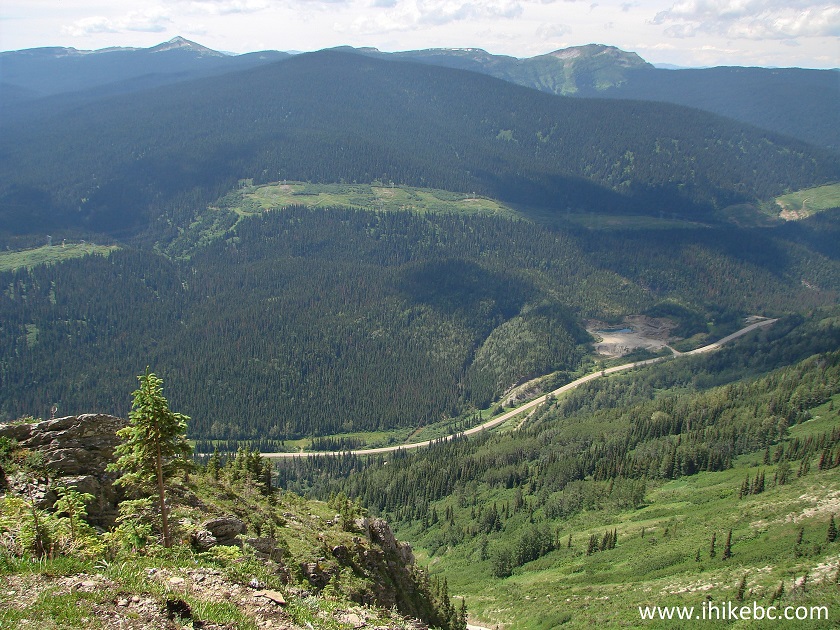
BC Highway 97 seen from Murray Range Trail - Hike in Mackenzie Area
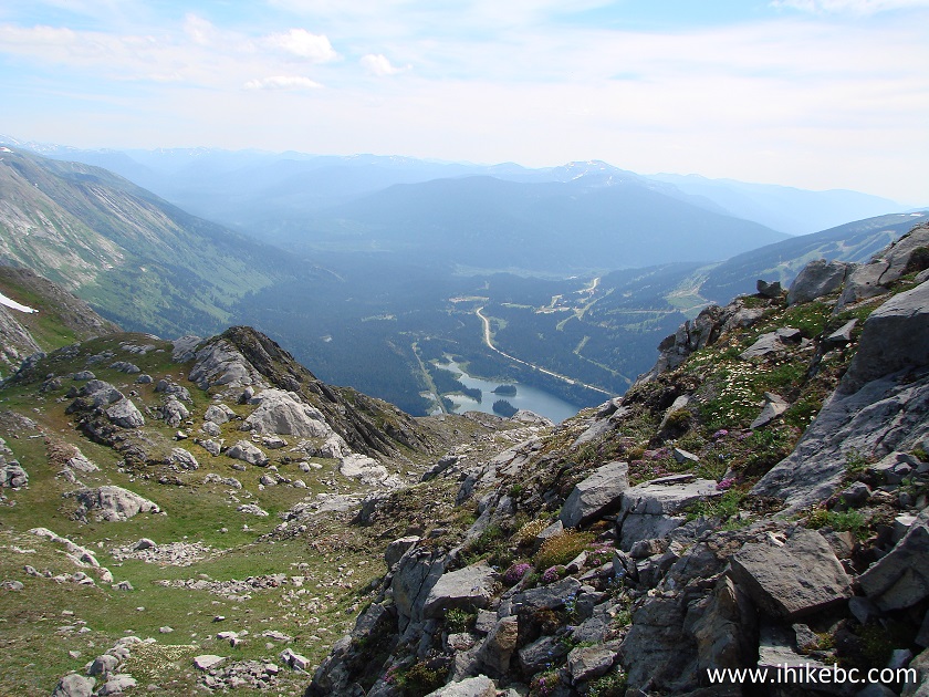
19. And, to the left, a neat Azouzetta Lake. Coordinates: N 55⁰24.488' W 122⁰36.930'. Elevation: 1,469 meters (584 meters elevation gain from the start of the trail).
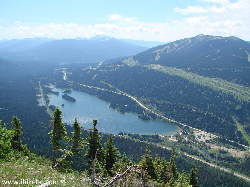
Azouzetta Lake seen from Murray Range Trail in Northeastern British
Columbia Canada
Here is our video of the views from this point:
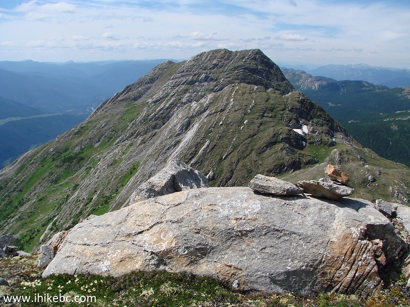
20. How about this mountain range to our right.
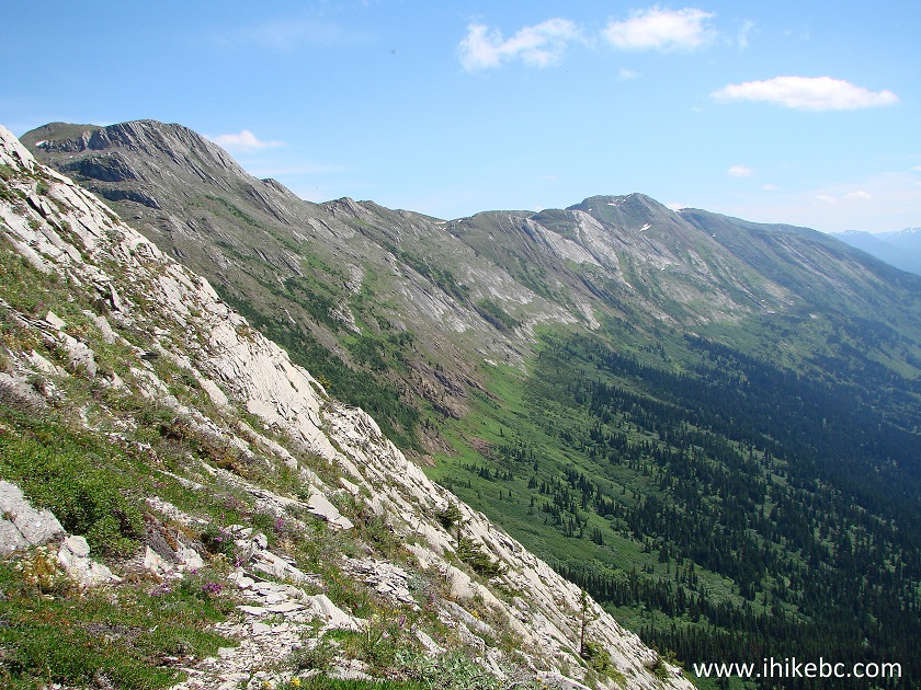
Mountain range seen from Murray Range Trail British Columbia Canada
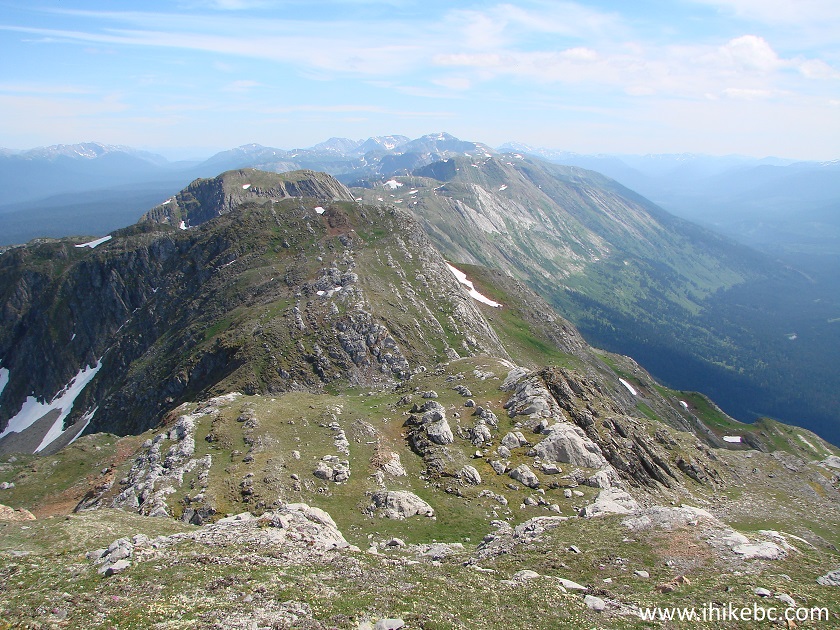
21. Moving on, the peak we have been aiming for has a pronounced saddle, and we decided that this would be the easiest place to start the final climb.
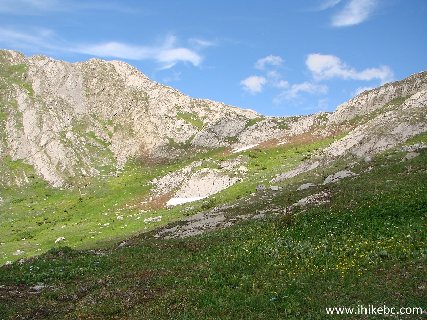
Trail in Mackenzie BC Area - Murray Range Trail
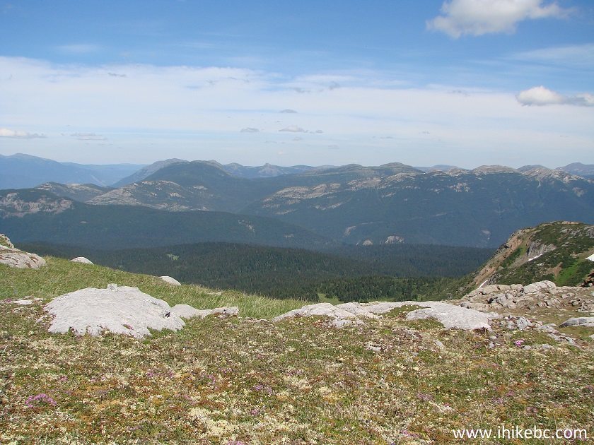
22. There are a lot of interesting large stones lying around out there, the one in the middle of this photograph being one of them.
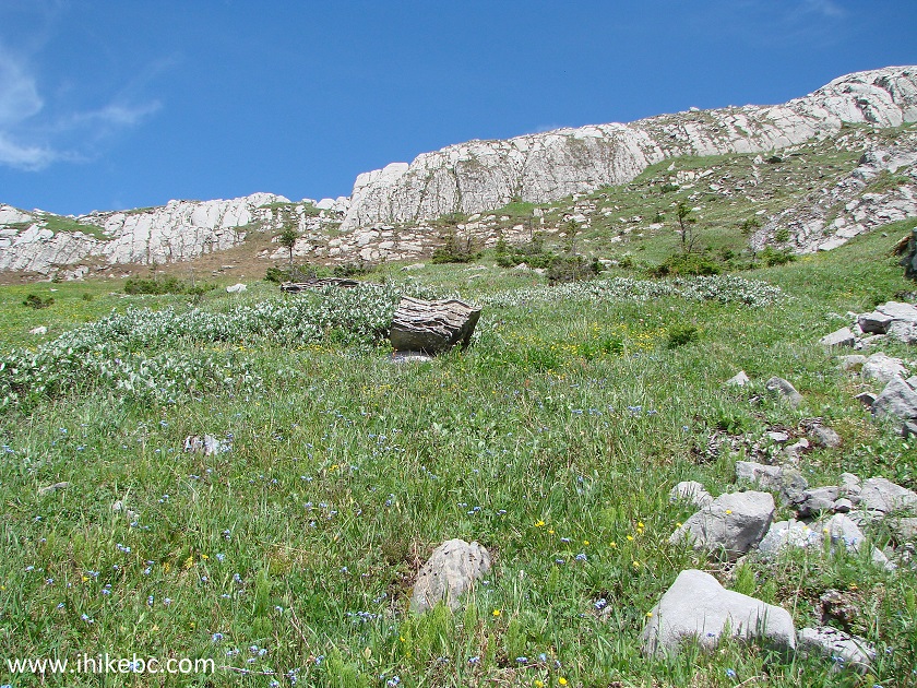
Hike in Mackenzie Area - Murray Range Trail
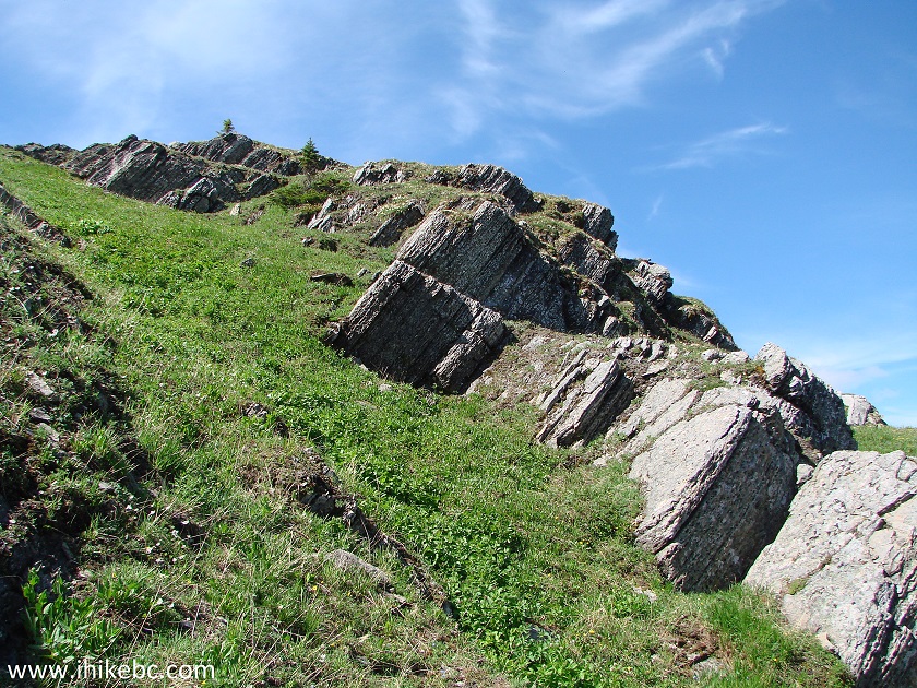
23. Getting closer to the saddle.
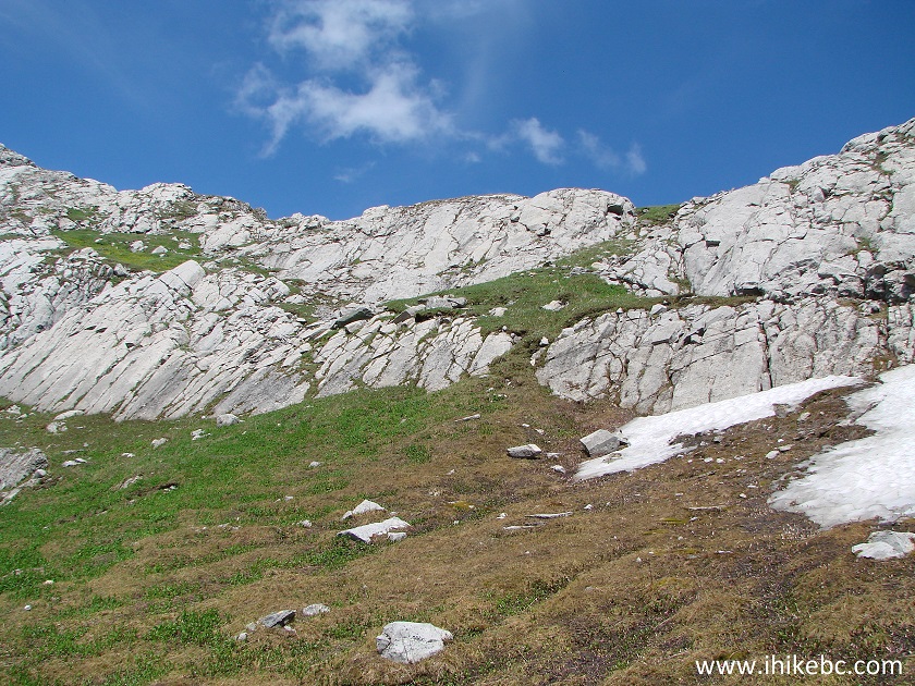
Mackenzie Trail - Murray Range Trail by Highway 97
24. Finally, the saddle entrance. Wasn't too hard to climb up this grass. Coordinates: N 55⁰24.730' W 122⁰36.625'. Elevation: 1,660 meters.
Mackenzie Hike - Murray Range Trail British Columbia Canada
25. Looking back from the saddle. Lots of green.
View from Murray Range Trail Northeastern British Columbia Canada
26. Moving forward, with the saddle just behind us, and the peak to climb to our left (not seen here).
View from Murray Range Trail - Hiking in Mackenzie BC Area
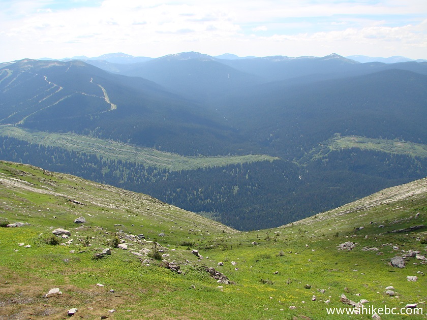
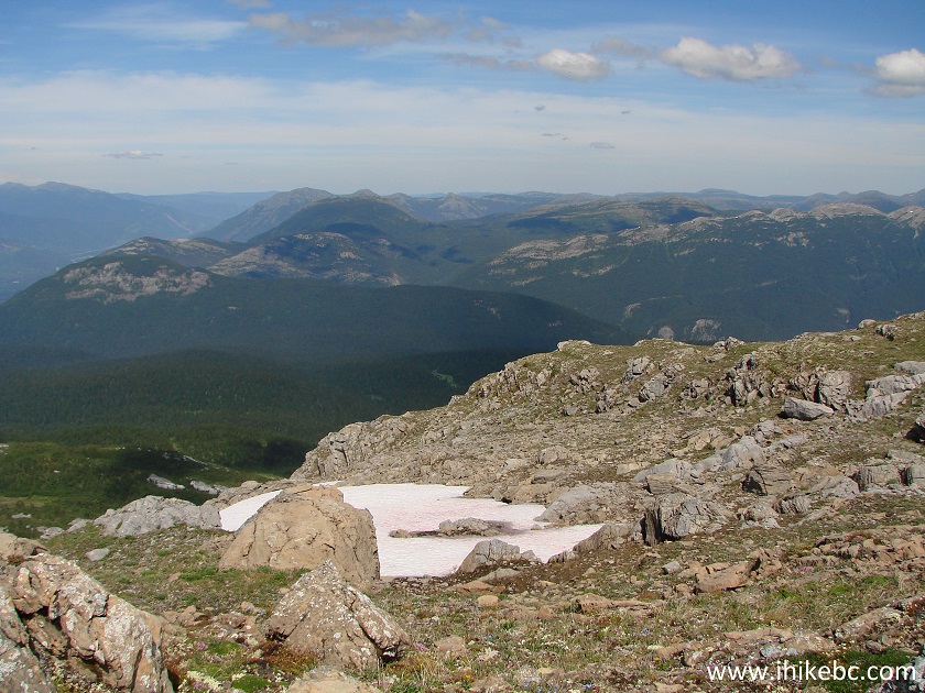
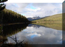
27. What an awesome picture awaited on the other side of the alpine across from the saddle. According to our GPS, behind the smaller lake in the middle of the photo is the beginning of Pine Le Moray Provincial Park.
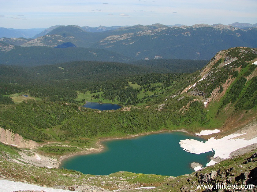
Pine Le Moray Provincial Park seen from Murray Range trail Northeastern
BC Canada
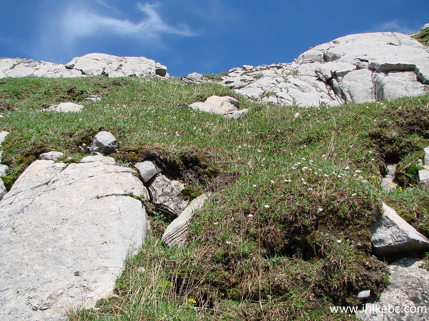
28. Starting to climb the peak to our left. Not as steep as the first part of the trail.
Mackenzie Hiking - Murray Range Trail
29. Looking back at Azouzetta Lake.
BC Hiking
30. Now looking to the right - the same mountain range as seen in photo #20.
Hike in British Columbia
31. Getting close to the end of the hike.
Hike in Canada
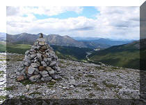
32. Finally, this is it. There are no pronounced peaks there, so we knew we have reached the end because of several stones put together. Also, the GPS showed that we have reached our destination.
Canada Hiking
Here is our video of the views from the end of the Murray Range hike:
More ihikebc videos are on our YouTube Channel.
33. Here is our Garmin 64s GPS with Backroad Mapbook software showing the trail (red and white dotted line) and our path (blue line) at the end of the trail. Coordinates: N 55⁰24.987' W 122⁰36.890'. Elevation: 1,820 meters (935 meters elevation gain from the start of the trail).
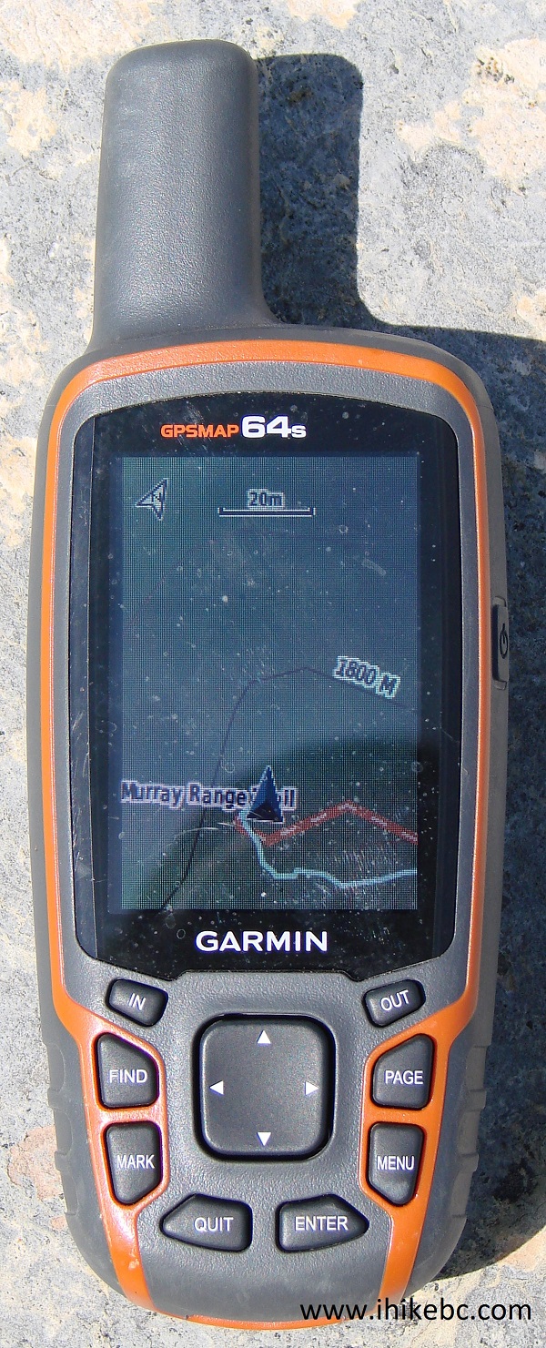
Garmin GPSMAP 64s
34. And these are our hike stats up to the destination. As you can see, we spent more time not moving (2 hours 21 minutes) than moving (2 hours 11 minutes). Also, the average moving speed was 2.0 km per hour. Our usual average moving speed while hiking up is about 3.0 km/h. This speaks to how steep the trail is. But, also, this being the first real hike of the season, we are not in our best hiking shape. It only took us 1.5 hours to get back.
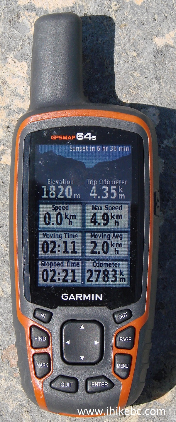
Garmin GPSmap 64s
Murray Range Trail leads to several fine views, but is complicated enough that it should be tackled only by experienced well-equipped hikers.


|
 |
Other Trips in Mackenzie BC Area:
|
|
|
|
|
|
|
Other Trips:


![]()


![]()
![]()
![]()
ihikebc.com Trip 126 - Murray Range Trail Hike (near Mackenzie BC) Page 2 of 2