![]()
![]()
![]()

Trip 322 - September 16, 2024 (Monday)
Green Mountain Trail Hike
Near Gold Bridge, BC
Page 2 of 4
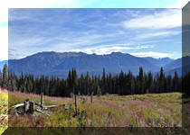
Liked: Excellent views of mountains, valleys, and lakes. A former fire lookout shack. Shade in the forest. Meeting a marmot. Very few bugs.
Vancouver, Coast & Mountains Backroad Mapbook (2019 edition) Coordinates : Page 50 (Downton Lake) G5.
Follow @ihikebc TweetGreen Mountain Trail is located in the remote southwest part of British Columbia near Gold Bridge. It's takes a 103 km drive via a scenic BC Highway 40 from Lillooet to get to Gold Bridge, and then a drive for over 8 km on washboard-like Hurley River Forest Service Road (2WD regular clearance vehicles - ok, but ensure to have good tires and a spare). After that, there is an access road of about 2.8 km to the trailhead, then just over 3 km to an old and well-preserved fire lookout shack, and then further hiking of about 3 km to the end of the trail.
If you have a high-clearance short-wheelbase 4x4, you might be able to make it all the way to the shack. Otherwise, park by Hurley River FSR and start hiking. It's not a very difficult trail all the way to the shack (gets tougher after that), but there are absolutely no signs (save for one by the forest service road), and several splits where you either need to know where you are going, or have a GPS unit with this trail.
The views of mountains, valleys, and lakes are absolutely great, and the shack is in good enough shape to accommodate an overnight stay - it has 4 bunk beds and a stove. There is also an open air pit toilet (with a view!) near the shack. We first hiked this trail in May of 2021, but stopped about halfway to the shack due to deep snow. Unless otherwise noted, all photographs in this trip report are from the trip we took in September of 2024.
* All trail distances are based on a GPS odometer and are approximate.
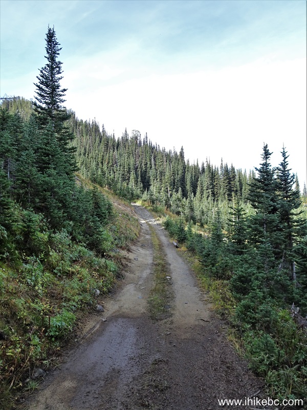
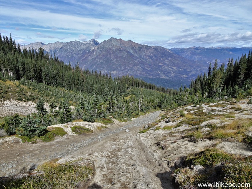
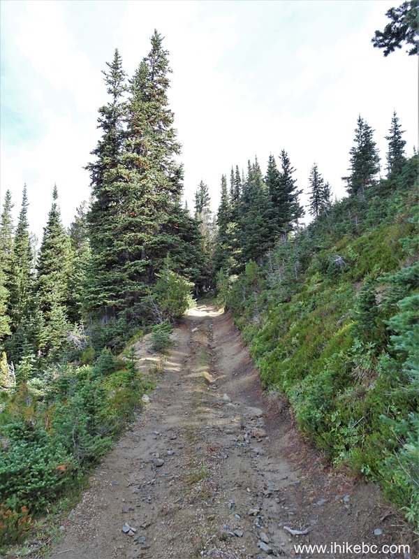
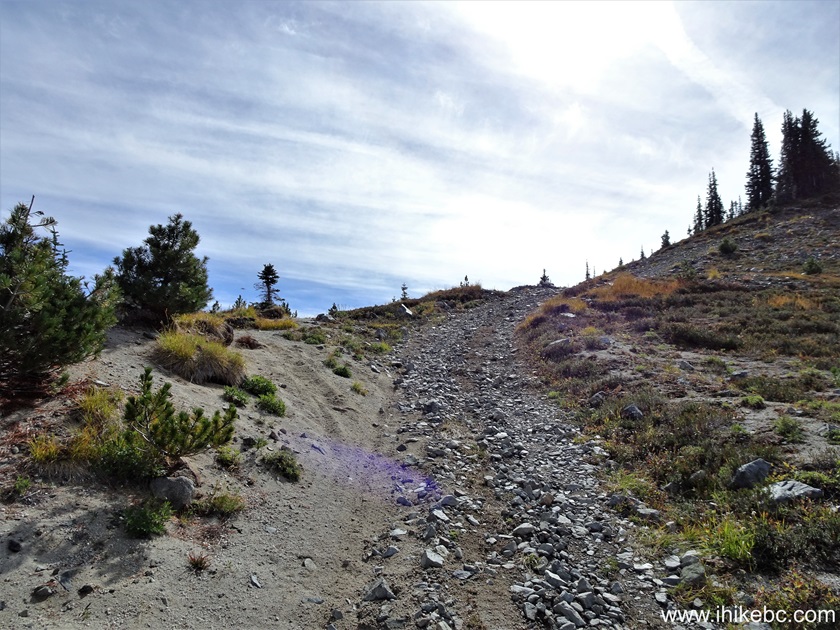
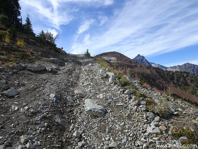
31. At 1.73 km of Green Mountain Trail near Gold Bridge, British Columbia, Canada.
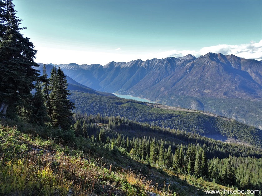
32. Looking to the right at 1.80 km we see Gun Lake in the distance.

33. In May of 2021, we finished our hike around here by climbing up a steep snowy slope on the left side. It wasn't the best idea, as we lost footing, slid down for about 20 meters, and smashed into a fir tree. Good thing it had lots of soft branches.

34. Here is the view at the end of the hike in May of 2021.
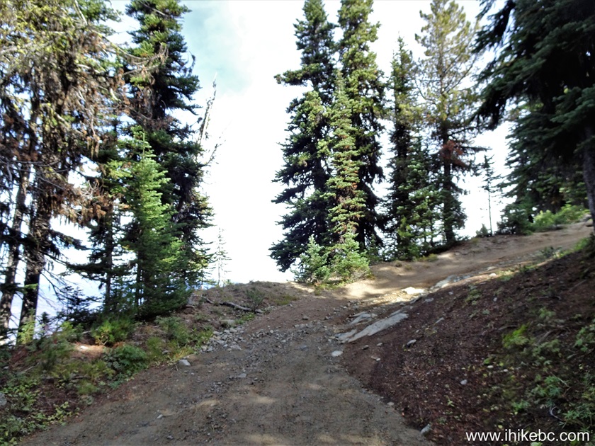
35. Back to September of 2024, we are at the 1.91 km mark of the trail.

36. 50 meters later.

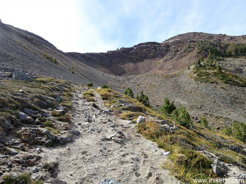
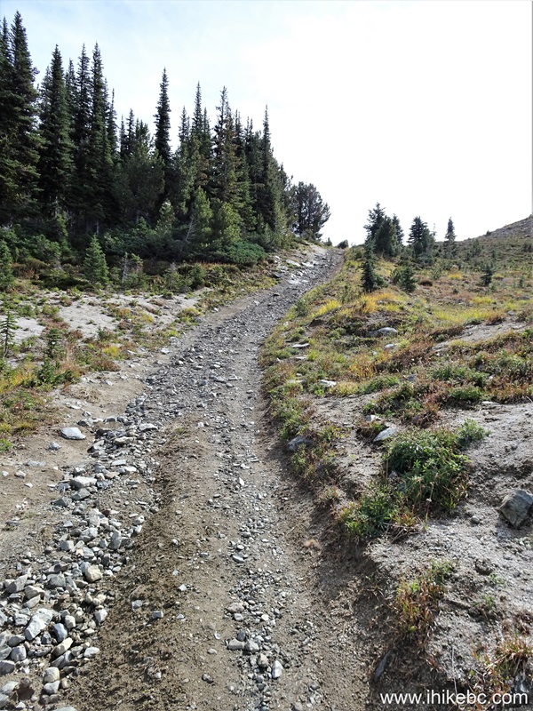
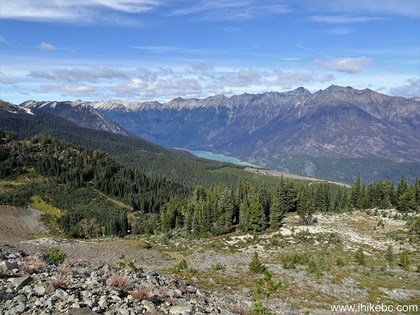
37. At 2.07 km there is a split. Hiking trail straight ahead, vehicle detour to the right.
38. At 2.09 km of Green Mountain Trail near Gold Bridge, BC.
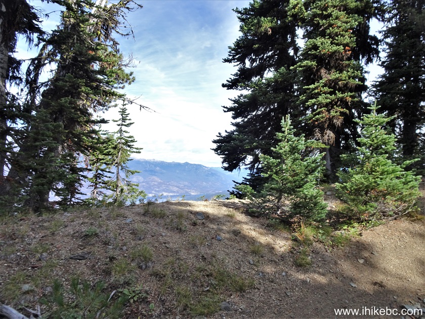
39. Looking back from the same spot. The views are getting better and better the higher you climb.
40. Just over a hundred meters further.
41-43. At 2.24 km, we are at a T-junction where the hiking trail reunites with the vehicle detour. Turn left.

43. At 2.40 km, we are about to re-enter the forest.
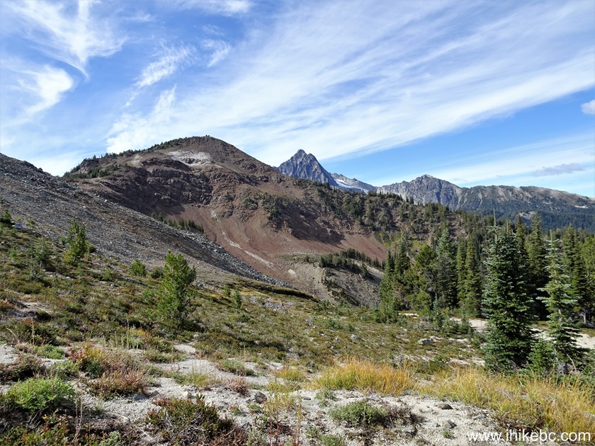
44-45. At 2.51 km, we are approaching the best view of the hike before the fire lookout shack. Just go to that obvious opening between the trees.
46. Here is a fine panoramic view from that location.

47. But it turned out an even better view is just up the trail. Head up for forty more meters, and there is a short path on the left side for all the fine views.
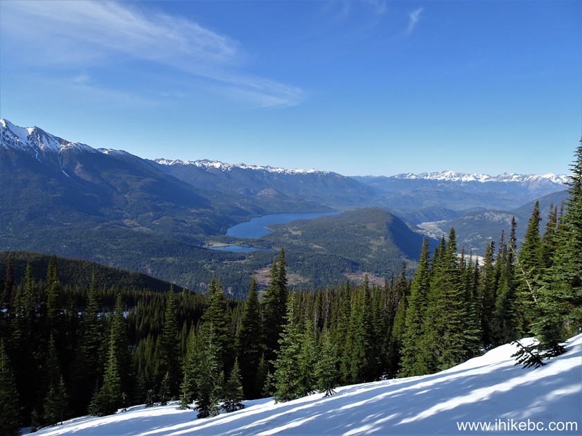
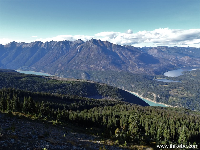
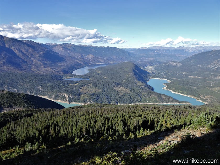
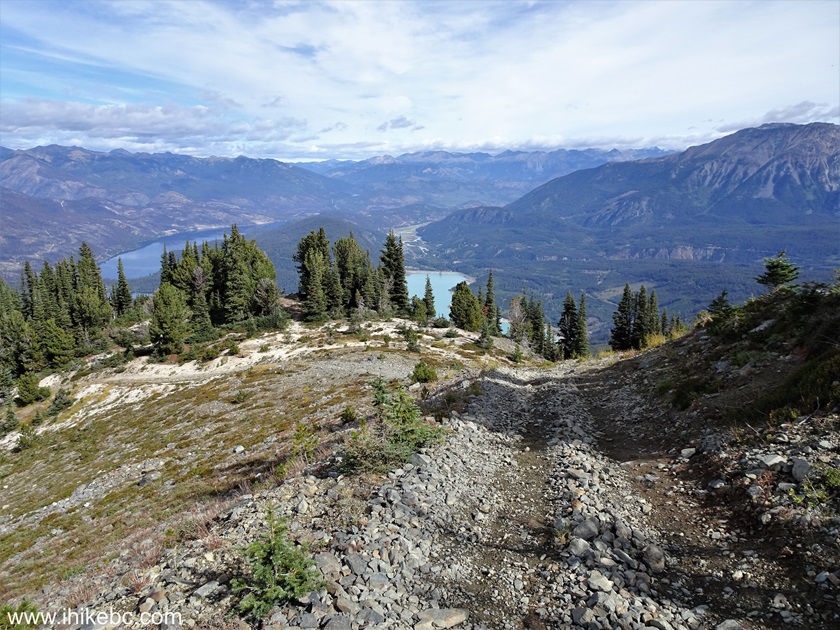
48-52. Here are all the fine views from a short path branching off at 2.55 km of Green Mountain Trail. Coordinates: N 50⁰47.581' W 122⁰55.515'. Elevation: 1,920 meters. In the foreground and on the right side is light blue-coloured Downtown Lake, with Lajoie Dam at the far end on the right side. And on the left side is a small Lajoie Lake followed by a much larger Gun Lake. Left to right, followed by a panorama.

Here is our video of the views from this location.
More ihikebc videos are on
our YouTube Channel.
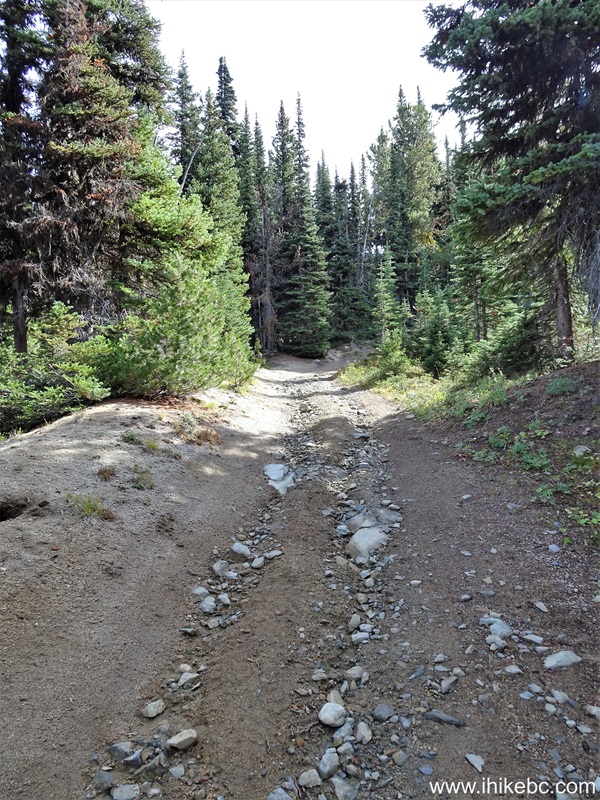
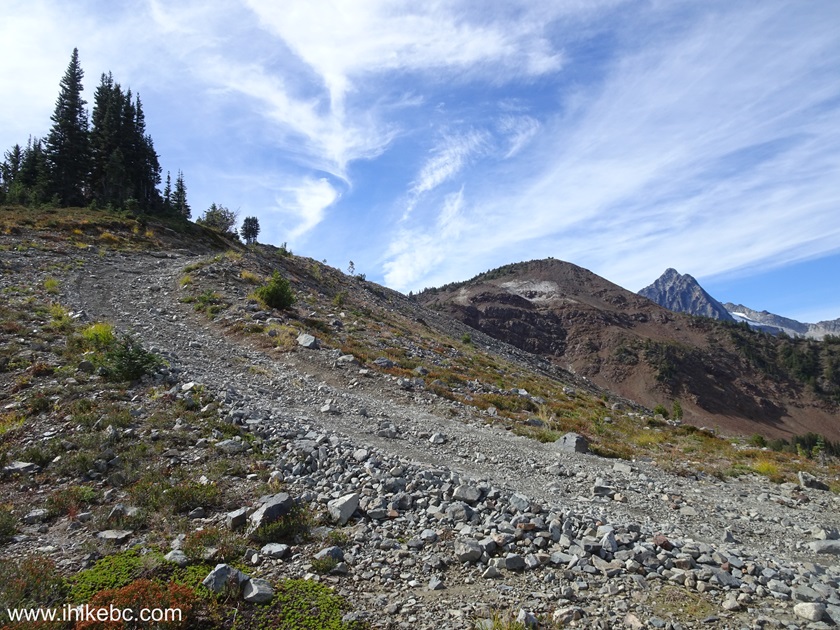
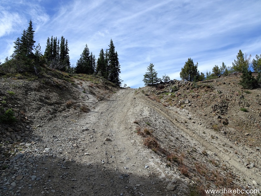
53. Continuing towards the fire lookout. At 2.62 km of Green Mountain Trail.
54. At 2.69 km now. Our GPS showed that the trail which split at 1.68km rejoined our trail around here, but we could not find it, though didn't look much. Could have been hidden by the trees.
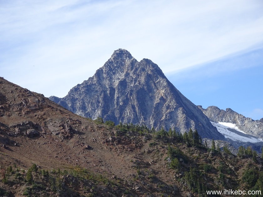
55-57. Also at this spot, some very fine views on the right side. Plain and zoomed.

58. At the 2.72 km mark of Green Mountain Trail.
59. 20 meters later.
60. Looking right at 2.77 km.
61. Looking back from the same spot.
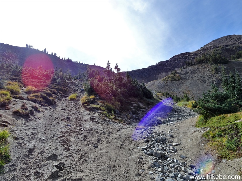
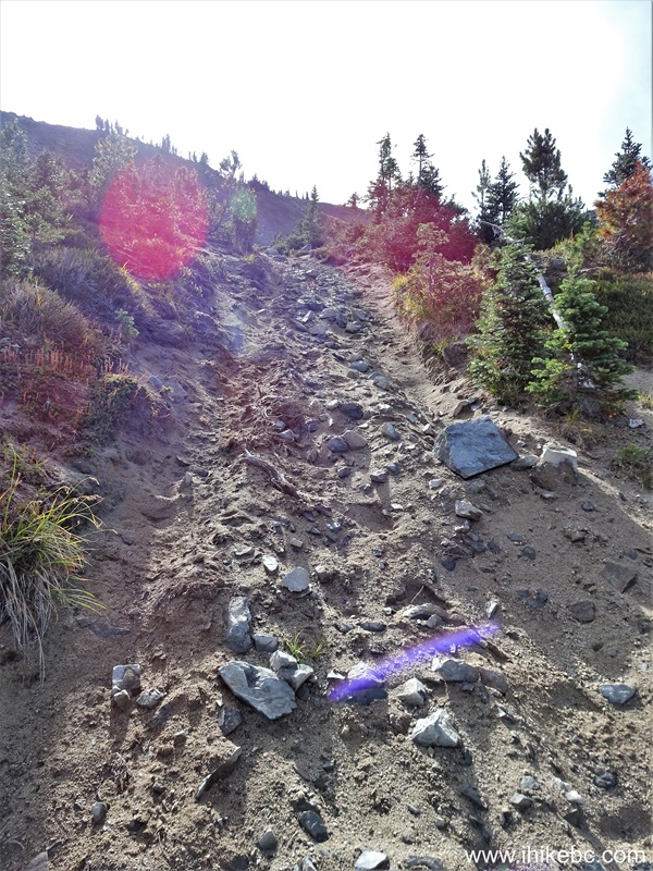
62. At 2.88 km, we are getting close to the fire lookout shack.
63. Looking right from the same location.

Our Green Mountain Trail Hike trip report Continues on Page 3.


|
 |
Other Trips:


![]()
![]()
![]()
ihikebc.com Trip 322 - Green Mountain Trail Hike
(near Gold Bridge, BC) Page 2 of 4