![]()
![]()
![]()

Trip 272 - September 13, 2022 (Tuesday)
Hagwilget Peak Trail Hike
Via Station Creek Trail
Near New Hazelton BC (70 km West of Smithers via Hwy 16)
Page 1 of 2
Liked: Panoramic valley view, mountain views, a small waterfall, several fine forest scenes, moss in the forest , shade in the forest, no bugs.
Northern BC Backroad Mapbook (3rd edition) Trailhead Coordinates: Page 49 (Hazelton) D7.
Hagwilget Peak Trail is located near the settlement of New Hazelton, about 70 km West of Smithers (440 km West of Prince George), via BC Highway 16. The trail is actually signed as Station Creek Trail, and that's the trail we planned to hike. We did not even know about the existence of Hagwilget Peak Trail until a sign at the split 3.68 km from the trailhead indicated that this trail was to the right. We decided to hike to Hagwilget Peak some other day and continued on Station Creek Trail, but encountered a huge windfall less than a kilometer later, which looked way too dangerous to cross, so we came back to the split and hiked the Hagwilget Peak Trail instead.
Station Creek Trail is moderately challenging up to the split, with several long steep stretches. However, Hagwilget Peak Trail is often very steep, and has three very large boulder fields, so it is suitable for experienced and well equipped hikers only.
The views from Hagwilget Peak are quite decent, though no match to Kitwanga Mountain Trail we hiked the day before. If you have to choose which one of these to hike, go to Kitwanga Mountain for sure. And, if you are planning to hike both of these trails, hike Hagwilget Peak first, in order to get even better views on the Kitwanga Mountain Hike.
*All trail distances are based on a GPS odometer and are approximate.
1. Here is a Google Maps location of New Hazelton, BC.
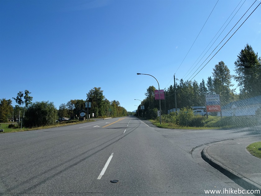
2. We are eastbound on BC Highway 16, entering New Hazelton. Highway 16 / Highway 37 junction near Kitwanga is 43 km behind us, and Smithers is about 70 km further east.

Welcome to New Hazelton Sign
3. Turning right from BC Highway 16 East onto Laurier Street, 1.8 km from the sign seen in the photo above.
BC Highway 16 at Laurier Street New Hazelton BC Canada
4. Now on Laurier Street.
Laurier Street New Hazelton British Columbia
5. Turning left from Laurier Street onto 13th Avenue 300 meters from Highway 16.
Laurier Street at 13th Avenue New Hazelton BC
6. Now on 13th Avenue in New Hazelton, BC.
13th Avenue - New Hazelton - British Columbia - Canada
7. Having spent 200 meters on 13th Avenue, we are making a right turn onto McBride Street.
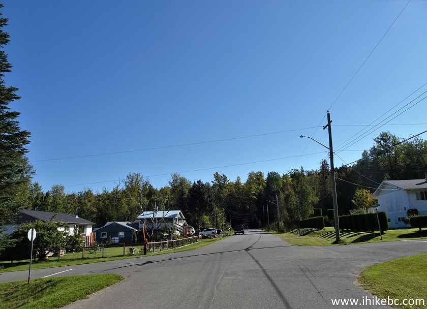
13th Avenue at McBride Street New Hazelton BC
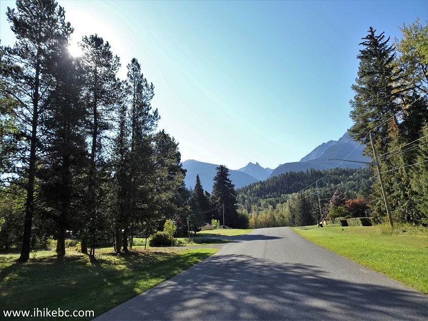
8. Now on McBride Street. The road has turned into packed dirt and gravel. Quite passable all the way to the trailhead.
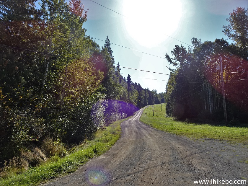
McBride Street New Hazelton British Columbia Canada
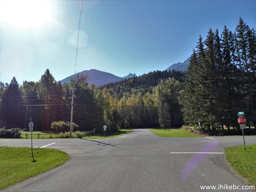
9. Half a kilometer later, stay right at the split pictured below. You would drive past a BC Hydro facility.
McBride Street New Hazelton BC
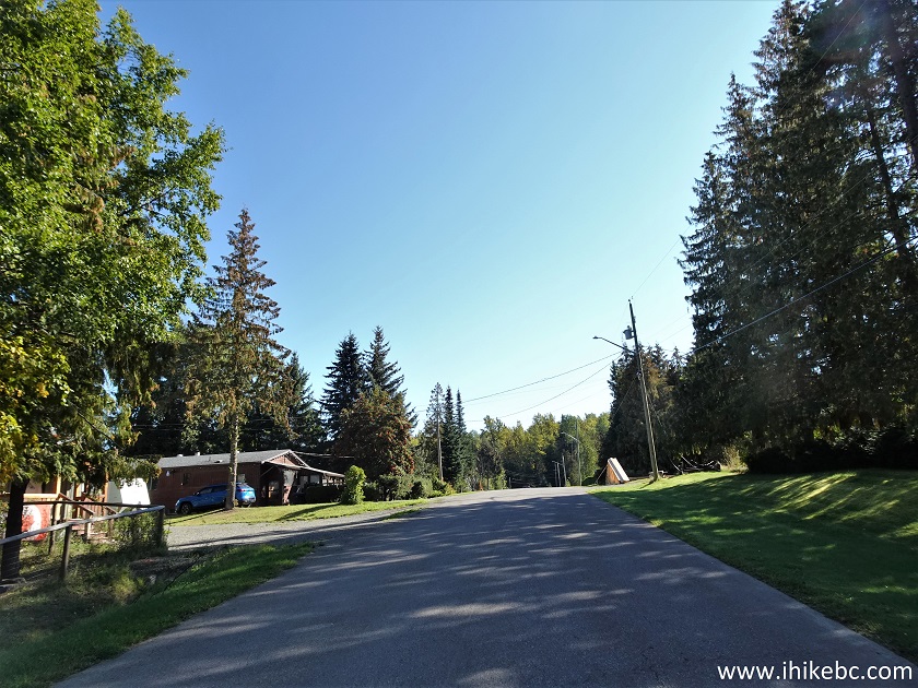
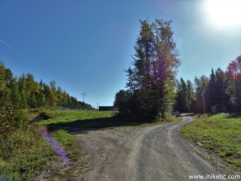
10. Drive through a tree-lined stretch 200 meters later...
New Hazelton BC
11. ...and arrive at the Station Creek trailhead 3.1 km after the New Hazelton sign, 1.3 km after turning onto Laurier Street from BC Highway 16, and 800 meters after turning onto McBride Street from 13th Avenue. Coordinates: N 55°14.294’ W 127°34.203’. Elevation: 420 meters. The hike begins past the gate on the left side.
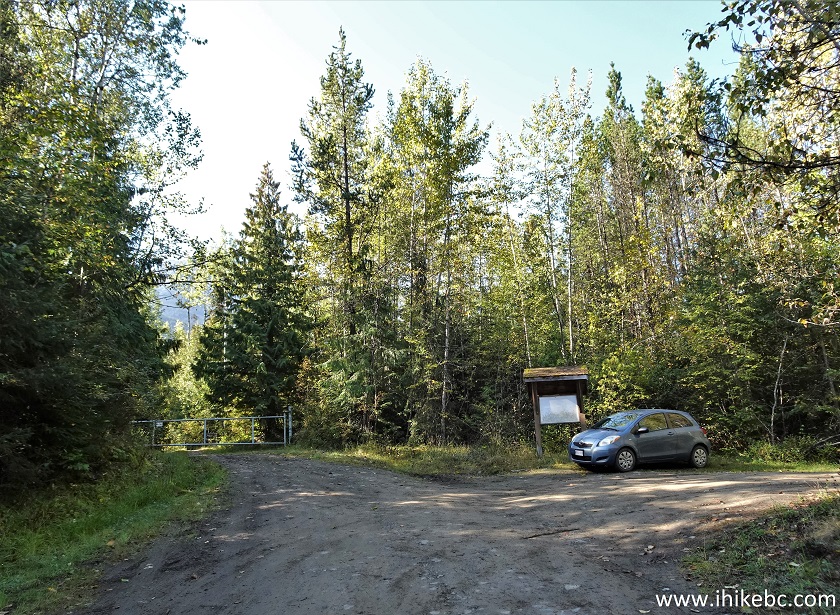
Station Creek Trail and Hagwilget Peak Trail Parking Lot - New Hazelton
BC Canada
12. Now at 40 meters past the gate. Keep left at the trail sign seen straight ahead.
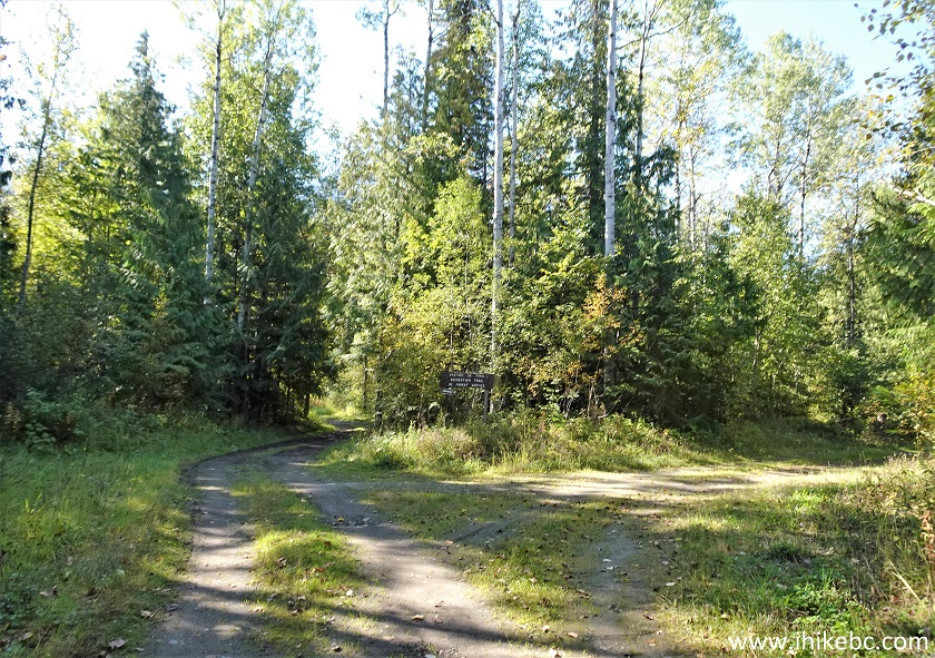
Station Creek Trail Access Road - New Hazelton British Columbia
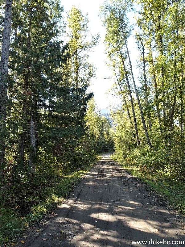
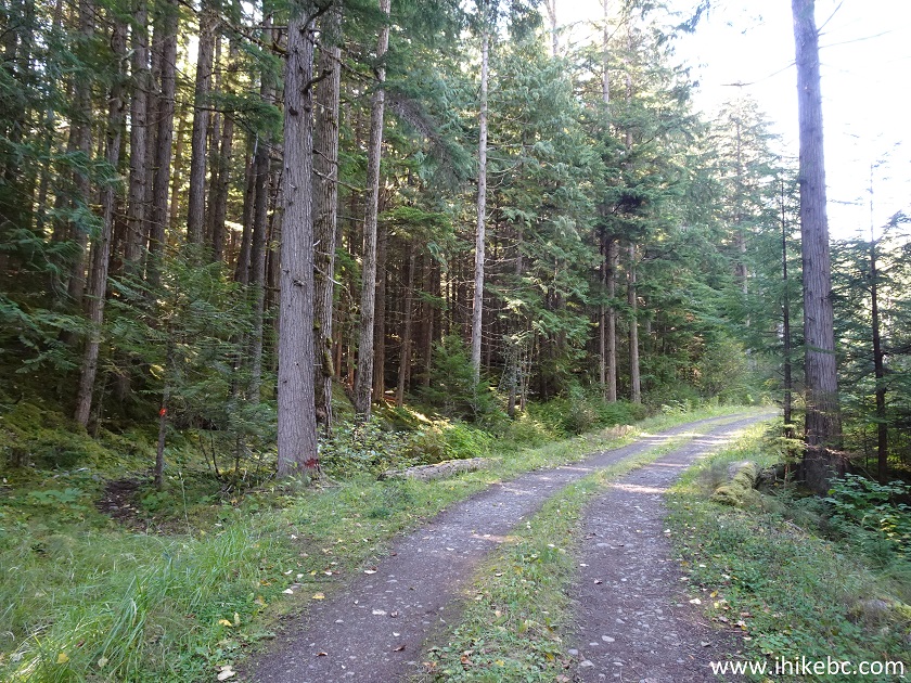
13. Station Creek Trail access road at 220 meters past the gate.

New Hazelton BC - Station Creek Trail Access Road
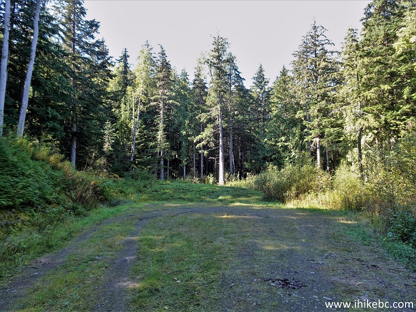
14. About 800 meters from the parking lot, Station Creek Trail starts on the left side. Coordinates: N 55°13.860’ W 127°34.297’. Elevation: 400 meters. There is no sign there.
Station Creek Trailhead
15. Should you miss the trailhead, you wouldn't go too far, as the access road ends in just over 50 meters.
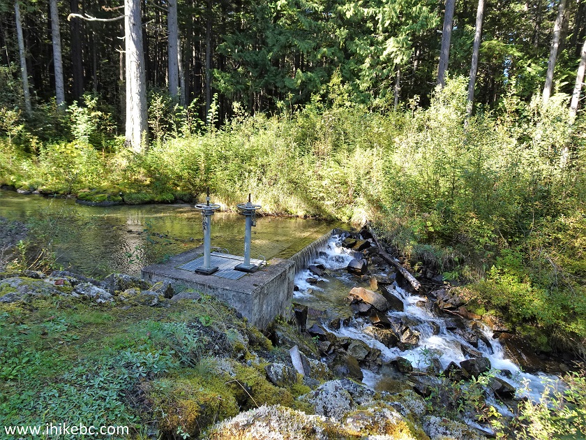
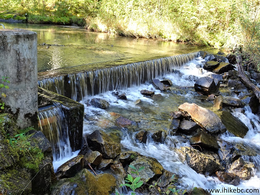
16-17. It's possibly another Hydro facility at the end of the turnaround seen above, and it comes with a neat mini-waterfall.
18. We are back at the Station Creek trailhead. Easy hiking so far. Hagwilget Peak trail split is 3.68 km further down.
New Hazelton Hiking - Station Creek Trailhead
19. Station Creek Trail begins. At 15 meters here.
Station Creek Trail Hike in New Hazelton BC Area
20. At 130 meters, there is this neat (Station?) creek crossing.
Creek Crossing - Station Creek Trail - British Columbia Hiking
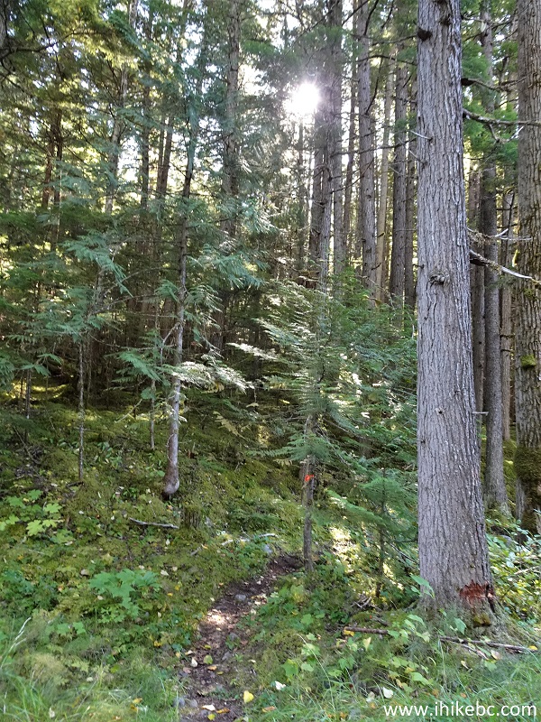
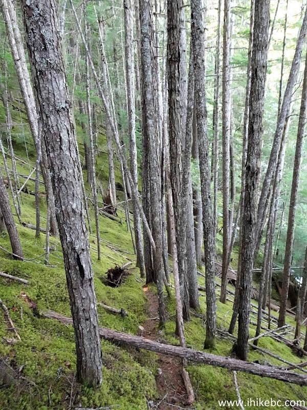
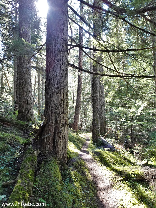
21. Now at 620 meters of Station Creek Trail. Pleasant-looking moss is all around.
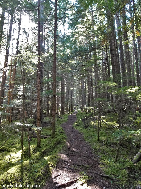
Hike in British Columbia - Station Creek Trail
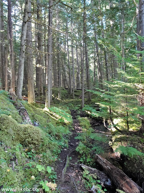
22. At the 1.32 km mark, the moss is still here. The trail turns from easy to moderately difficult (due to steepness) shortly thereafter.
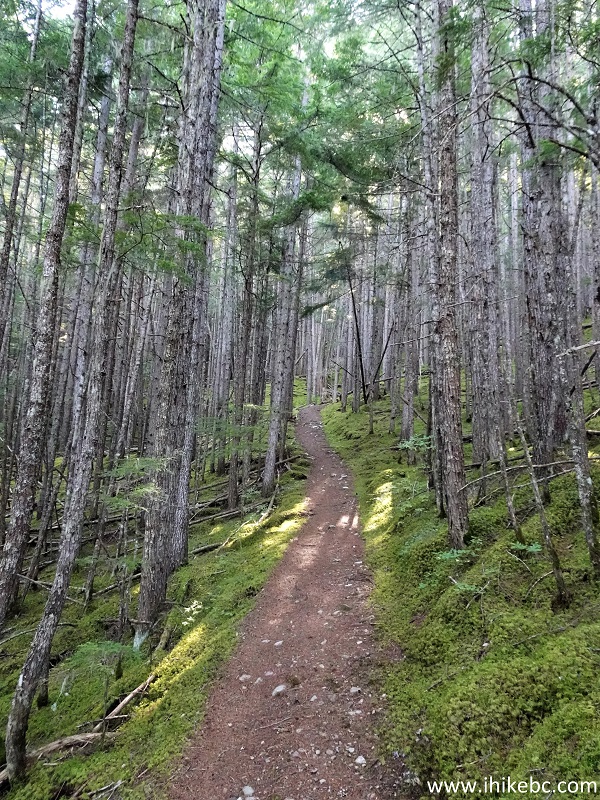
New Hazelton Trail - Station Creek Trail
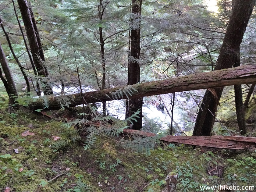
23. At 1.78 km from the parking lot, there is this split. Coordinates: N 55°13.342’ W 127°34.213’. Elevation: 620 meters. Station Creek Trail continues to the left. And, to the right, is a 100-meter-long fairly challenging spur trail to a small waterfall.
Trail in New Hazelton BC Area - Station Creek Trail
24. Heading towards the waterfall.
Station Creek Trail -Waterfall Spur Trail
25. The easiest way to approach is to head right once you get to about this spot, as it's less steep down there.
Waterfall Access - Station Creek Trail - New Hazelton BC Canada
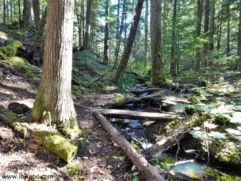
26. The small waterfall.
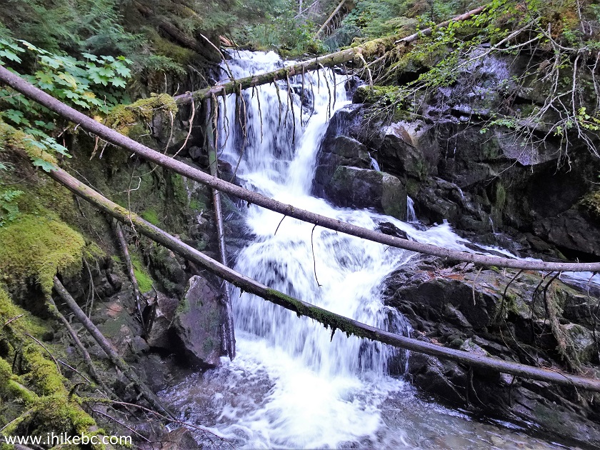
Station Creek Trail Waterfall
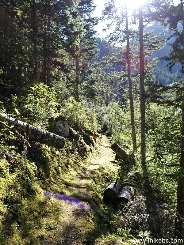
27. Station Creek Trail continues. Now at 300 meters after the waterfall spur trail split.

Station Creek Trail British Columbia Canada
28. At the 1.84 km mark from that split.

Station Creek Trail
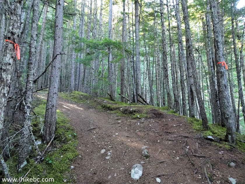
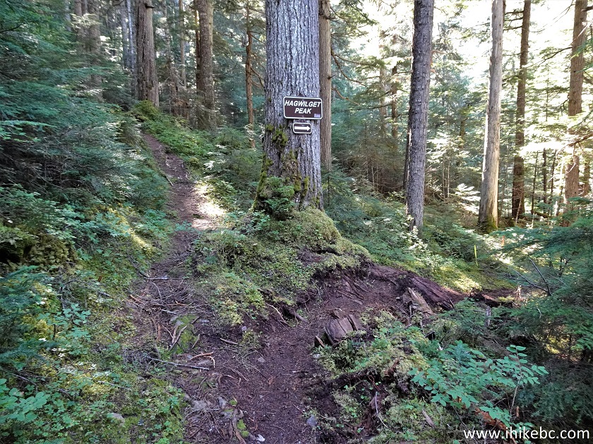
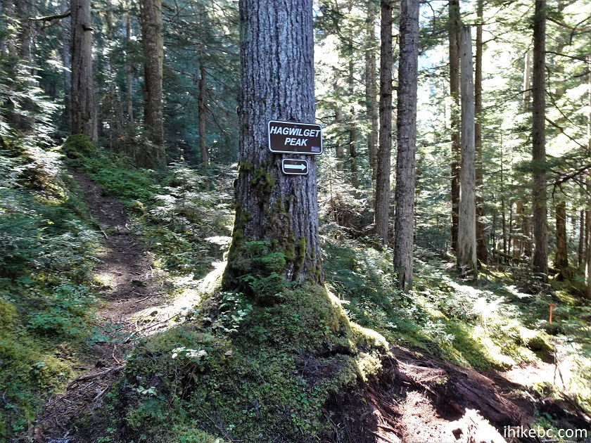
29. And here is the main split of the hike, 1.90 km from the waterfall spur, and 3.68 km from the trailhead (15% average grade). To the left is the continuation of Station Creek Trail. And, to the right, is the beginning of Hagwilget Peak Trail. Coordinates: N 55°12.547’ W 127°34.681’. Elevation: 950 meters.
Station Creek Trail Split with Hagwilget Peak Trail
30. First, we proceeded straight (left), as we did not even know about Hagwilget Peak Trail, and the goal was to hike Station Creek Trail. Now at 200 meters after the main split.
Hike in New Hazelton Area - Station Creek Trail
31. At the 650 meter mark after the main split. The trail is fairly easy, until...
Station Creek Trail in New Hazelton BC Area
32....at 850 meters after the main split Station Creek Trail is blocked by a huge windfall. Coordinates: N 55°12.118’ W 127°34.750’. Elevation: 1,050 meters. It appears the bad stretch is, at least, a hundred meters long and several meters deep.

Station Creek Trail Blocked by Windfall
33. We did not want to risk an injury going through such a complicated debris field, so returned to the main split and started hiking Hagwilget Peak Trail.
Hagwilget Peak Trailhead
Our Hagwilget Peak Trail Hike Trip Report
Continues on
Page 2.


|
 |
Other Trips:


![]()
![]()
![]()
ihikebc.com Trip 272 - Hagwilget Peak Trail Hike (Near New Hazelton BC) Page 1 of 2